What to expect
Highlights
- The overhanging "hanging rock" ledge.
- The hilltop Narasimha temple.
- The Lakshminarayana cave shrine.
Avalabetta is a hill viewpoint famous for its overhanging "hanging rock" ledge above a sheer drop.

It has a Narasimha Swamy hilltop temple and a Lakshminarayana cave shrine, overlooking the Nandi range.
Road km to Chikkaballapur; ghat roads and traffic vary — allow extra.
October to February; morning or late afternoon.
Live forecast loads in your browser.
Sun and moon are calculated for this location and shown in IST. Photography windows are the hour around sunrise and sunset; the sunset bearing is degrees clockwise from true north. Moon phase is accurate to about half a day.
Verified hotels, homestays, restaurants, experiences, sights, shops and rentals around Avalabetta — commission-free, with direct contact. Filter by what you need.
Verified places are being added. The category filters will fill in as approved stays, restaurants, experiences, sights, shops and nature listings go live.
List your placeOne more place around Gudibande worth a day of its own.

11.1 km · ~18 min by cab
A circular rock hill fort — the Gummanayaka or Byraweshwara fort — founded around 1350 by the chieftain Gummanayaka, with tiered stepped ponds (kalyanis) up the hill and a Byraweshwara temple at the top.
Roampedia is commission-free — own or know a stay, eatery, guide or shop near Avalabetta? List it and it appears here once verified.
Add a nearby businessEntry: Free
About 34 km from Chikkaballapur; by road to the top, then short walks
If you are travelling by bus or ferry, check the return service with the operator before setting out. Leave time to reach the stop or jetty after your visit.
Ask at the bus stand for the time of the last service back, not the next one. If you miss it, an auto or app cab is the fallback — agree the fare before you get in.
If you need step-free access, contact the site before travelling. Ask about a level entrance, steps along the route, the nearest drop-off point, seating and accessible toilets.
Emergency numbers are verified against official government and state tourism sources. 112 works anywhere in India.
A circular rock hill fort — the Gummanayaka or Byraweshwara fort — founded around 1350 by the chieftain Gummanayaka, with tiered stepped ponds (kalyanis) up the hill and a Byraweshwara temple at the top.
11.1 km · ~18 min by cab · straight line
A Vijayanagara-style Vishnu temple about 5 km from Chikkaballapura town toward Gauribidanur, with a black-stone Ranganatha idol and carved yali pillars.
13.8 km · ~23 min by cab · straight linePapagni Temple, also mapped as Papagni Mutt, is a worship place at the Kalavara side of Skandagiri. Temple access and permission to climb the hill are separate; visit without entering a trek route uninvited.
17.2 km · ~29 min by cab · straight line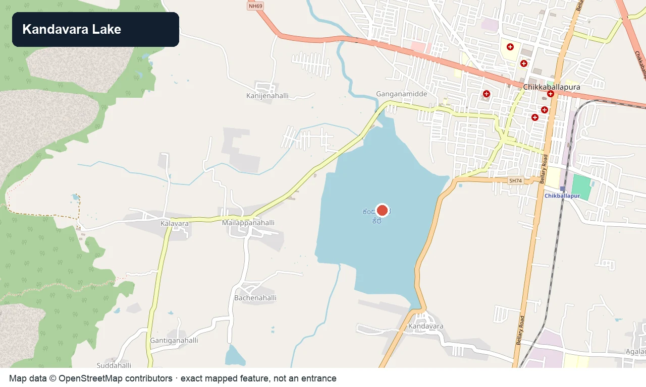
A large tank near Chikkaballapura on the Sidlaghatta road, a birdlife-rich waterbody and a quiet local outing spot.
17.6 km · ~29 min by cab · straight line
A ~1,350 m hill on the Nandi range, also called Kalavara Durga, with a ruined hill fort and a famous night-and-sunrise trek through a sea of clouds overlooking Nandi Hills and Muddenahalli.
17.8 km · ~30 min by cab · straight line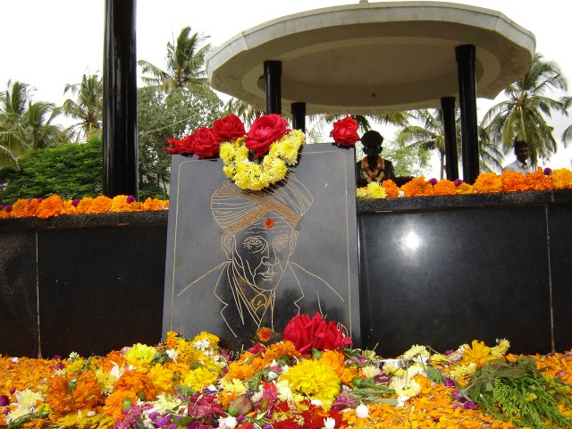
Muddenahalli is the village in Chikkaballapur district associated with Sir M. Visvesvaraya’s birthplace, house museum and memorial. Its appeal is a quiet encounter with the engineer’s public memory in the Nandi foothills, rather than another hilltop climb.
19.0 km · ~32 min by cab · straight line
One of Karnataka’s finest temples, in Nandi village at the foot of the hill — a layered Ganga–Chola–Hoysala–Vijayanagara Dravidian complex from the 9th century onward, with twin Arunachaleshwara and Bhoganandeeshwara shrines and a beautiful stepped Kalyani tank.
21.3 km · ~35 min by cab · straight line
The "Jallianwala Bagh of Karnataka" near Gauribidanur — the site of a 1938 Satyagraha firing, with a martyrs’ memorial cenotaph, an ancient Ashwattha (peepal) tree and the Ashwathanarayana temple on the North Pinakini bank.
21.5 km · ~36 min by cab · straight line
The marquee of the district — a Ganga-dynasty hill fortress at about 1,478 m and a former summer retreat of Tipu Sultan, famous for its sunrise and sea-of-clouds views, with Tipu’s Drop, Tipu’s summer residence, the Amrita Sarovar tank and the old fort walls.
23.1 km · ~38 min by cab · straight line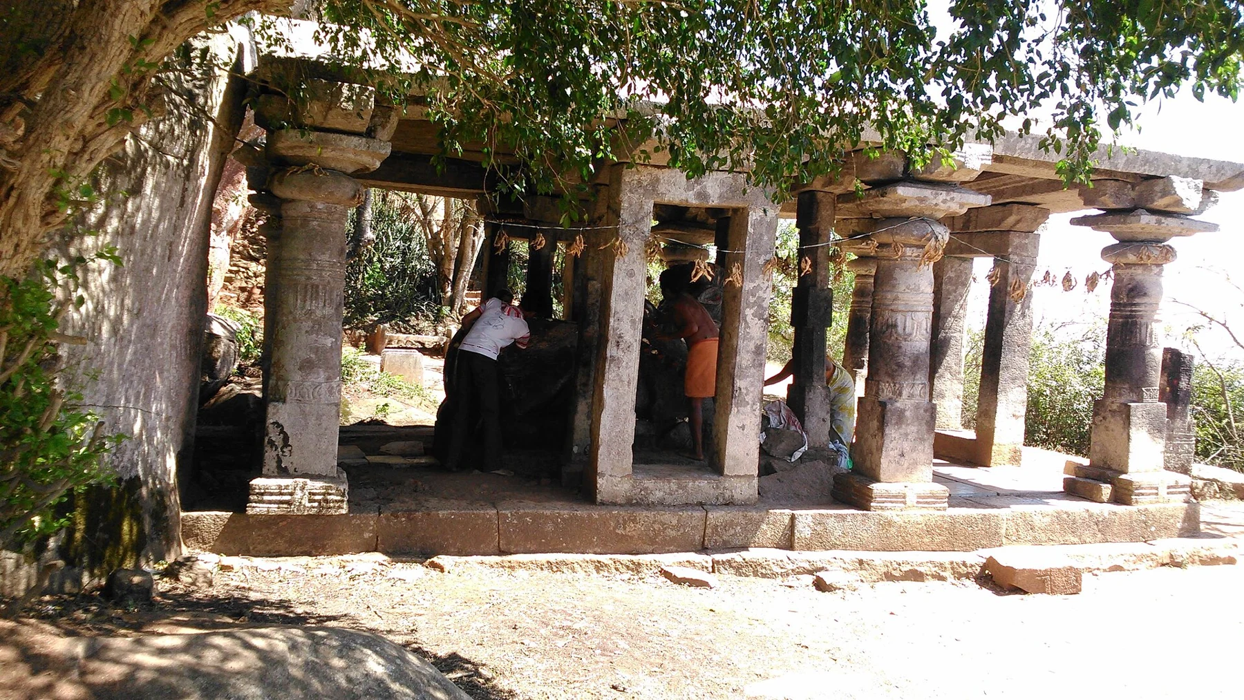
The ancient Shiva temple on the summit plateau of Nandi Hills, the "yoga" counterpart to the Bhoga Nandeeshwara temple at the base — a quiet stone shrine amid the hilltop.
23.3 km · ~39 min by cab · straight lineSidlaghatta’s government cocoon market is a working trading institution identified by the district Sericulture Department. Arrange observer access first, keep loading aisles clear and ask before photographing traders.
29.0 km · ~48 min by cab · straight line
Sidlaghatta is a working silk town in Chikkaballapur district. The government cocoon market and the surrounding raw-silk economy make it a place to understand livelihoods and materials, with visitor access arranged around trade rather than a sightseeing timetable.
29.5 km · ~49 min by cab · straight lineOctober to February; morning or late afternoon.
Entry: Free. Timings: Daylight hours.
About 34 km from Chikkaballapur; by road to the top, then short walks to the viewpoint and shrines. A cliff viewpoint — keep well back from the hanging-rock edge, especially in wind or with children.
1 to 2 hours.
Nearby you can pair Gudibande Fort (11.1 km), Rangasthala Ranganatha Temple (13.8 km), Papagni Temple, Kalavara (17.2 km), Kandavara Lake (17.6 km).
Written about Avalabetta itself — its history, its legends and the arguments about them.
Route-level itineraries and practical guides for the rest of Karnataka.
Photographs: Aranyaparva, CC BY-SA 4.0, via Wikimedia Commons (CC BY-SA 4.0). Wikimedia Commons.