What to expect
Highlights
- Identify the principal structure before photographing it.
- Read architecture and setting together.
- Respect current worship or commemoration.
- Combine it with one realistic nearby stop.
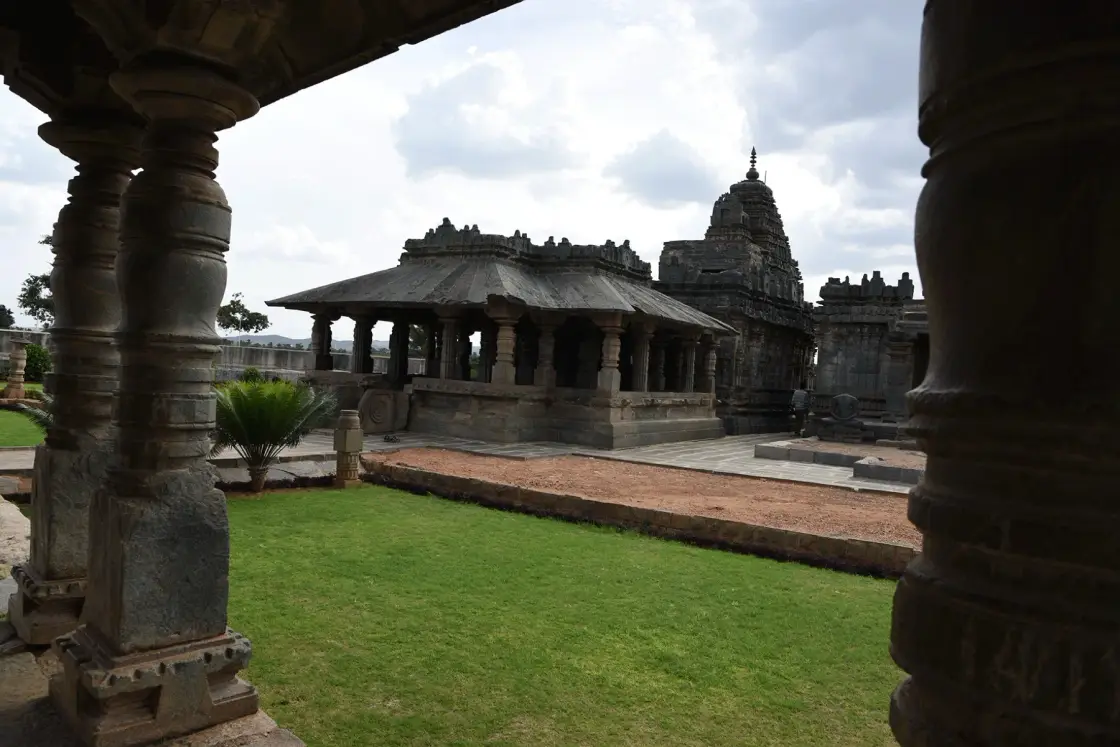
Lakkundi Archaeological Museum is the museum that interprets sculptures, inscriptions and hero stones recovered across Lakkundi’s temple-and-stepwell landscape.
OpenStreetMap view centred on Lakkundi Archaeological Museum; the marker identifies the mapped subject, not a guaranteed public entrance.
The gallery is most useful before the village walk because it gives portable finds a documented context and helps distinguish separate Chalukya monuments.
Lakkundi’s shrines still carry worship and village life around protected archaeology. Museum rules and temple etiquette therefore belong to different parts of the day.
Lakkundi Archaeological Museum is the museum that interprets sculptures, inscriptions and hero stones recovered across Lakkundi’s temple-and-stepwell landscape.
Lakkundi Archaeological Museum is the museum that interprets sculptures, inscriptions and hero stones recovered across Lakkundi’s temple-and-stepwell landscape.
The gallery is most useful before the village walk because it gives portable finds a documented context and helps distinguish separate Chalukya monuments.
Lakkundi’s shrines still carry worship and village life around protected archaeology. Museum rules and temple etiquette therefore belong to different parts of the day.
The useful way to read Lakkundi Archaeological Museum is to slow down and keep the named subject separate from neighbouring monuments, institutions and landscapes. Current signs and staff directions settle what is open; the map centre is orientation, not an invented entrance.
Lakkundi’s shrines still carry worship and village life around protected archaeology. Museum rules and temple etiquette therefore belong to different parts of the day.
The gallery is most useful before the village walk because it gives portable finds a documented context and helps distinguish separate Chalukya monuments.
The documented record places Lakkundi Archaeological Museum within Gadag district. Claims beyond the cited government, institutional and mapped evidence are deliberately avoided.
Identify the principal structure before photographing it.
Read architecture and setting together.
Respect current worship or commemoration.
Combine it with one realistic nearby stop.
October to February, preferably morning; check festival crowds and closures.
Live forecast loads in your browser.
Sun and moon are calculated for this location and shown in IST. Photography windows are the hour around sunrise and sunset; the sunset bearing is degrees clockwise from true north. Moon phase is accurate to about half a day.
Browse local stays, food, activities and useful shops. Confirm current service directly; rural options identify their own locality.
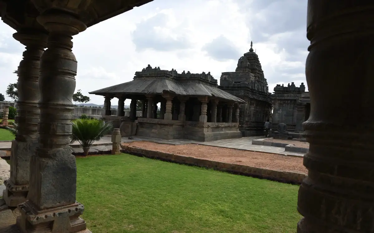
The ASI-operated sculpture gallery interprets inscriptions and portable finds from Lakkundi. Confirm museum opening and photography rules at the entrance.
Book with the place itself. India’s cyber-crime coordination centre warned in April 2025 that convincing copies of hotel and pilgrimage booking sites are being pushed through sponsored search and social ads, taking payment for rooms the property never hears about. Every listing here links to the business’s own contact details and its own Google or Bing profile — we take no commission and sit in nobody’s payment path. If a booking page reached you through an ad, check the address bar against the property’s own site before you pay. Fraud can be reported on cybercrime.gov.in or on 1930.
Choose a local circuit or a separate road outing. Check worship, market and forest access independently; these places do not share one admission or timetable.
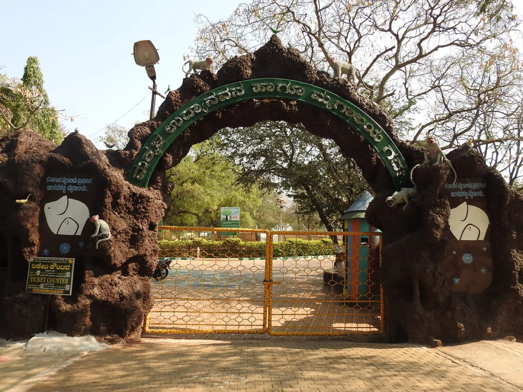
OpenStreetMap view centred on Binkadakatti Zoo.
zooBinkadakatti ZooA compact state zoo on Gadag’s edge; check current opening and animal-welfare rules.
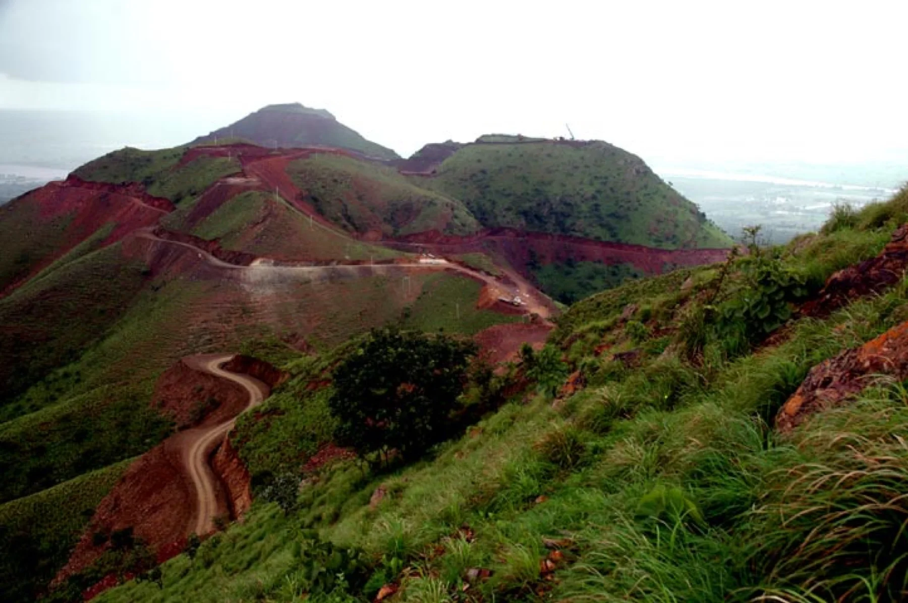
OpenStreetMap view centred on Kappatagudda Wildlife Sanctuary.
wildlife sanctuaryKappatagudda Wildlife SanctuaryA separate forest visit governed by current entry, guide and fire-season controls.
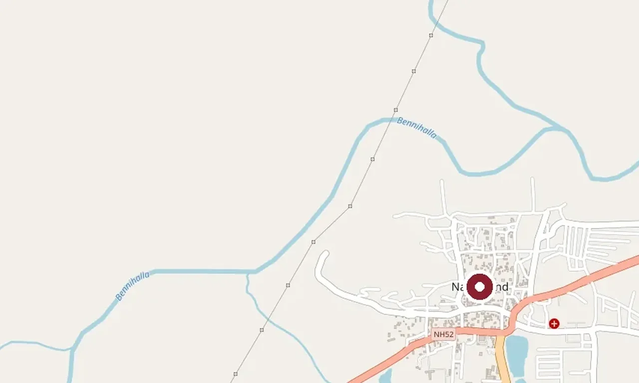
OpenStreetMap view centred on Navalgund.
weaving townNavalgund craft townA nearby GI-registered durrie town where any workshop visit requires invitation.
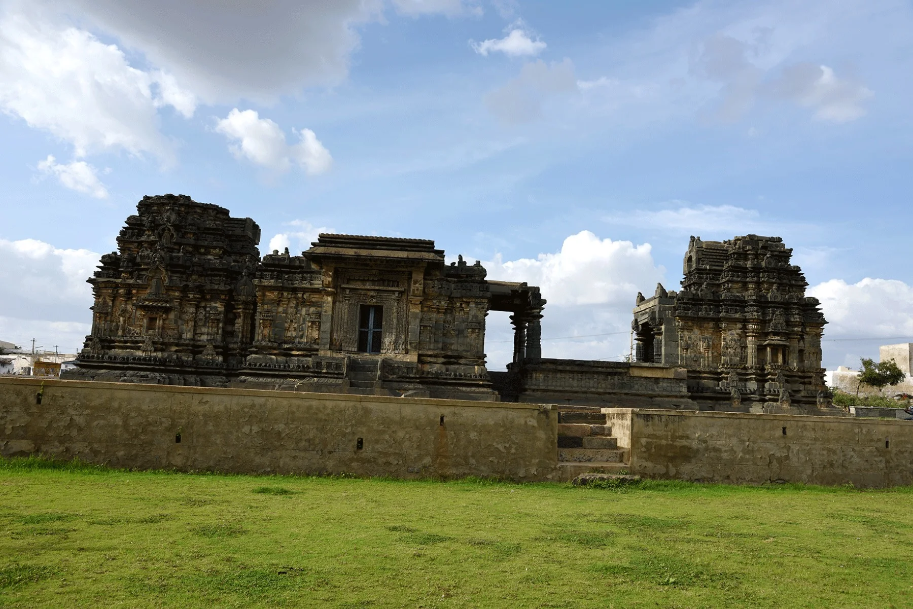
Mapped Gadag district context; Trikuteshwara Temple is a separate city destination.
Chalukya templeTrikuteshwara TempleGadag’s three-linga temple and Saraswati shrine form a separate city visit.
Roampedia is commission-free — own or know a stay, eatery, guide or shop near Lakkundi Archaeological Museum? List it and it appears here once verified.
Add a nearby businessEntry: No verified current public tariff is published; use only official on-site or authority information.
Photography: Photograph only from open public positions; do not cross barriers or disturb people or wildlife.
Parking: Use only a signed or locally directed space that does not block homes, gates, buses or emergency access.
Move slowly on the open visitor route and ask before entering side paths or compounds.
Online taxis: App-taxi pickup is not dependable at Lakkundi Archaeological Museum. Arrange a return vehicle or confirm a local driver before arrival.
If you are travelling by bus or ferry, check the return service with the operator before setting out. Leave time to reach the stop or jetty after your visit.
Ask at the jetty or stand for the time of the last service back, not the next one. If you miss it, an auto or app cab is the fallback — agree the fare before you get in.
Checked 6 September 2026 against source 1source 2. Conditions change and surfaces vary with weather — if step-free access is essential, confirm with the site before you travel.
For toilets, drinking water or a cash machine, ask at the site or a nearby business. No local service locations are available on this page.
Emergency numbers are verified against official government and state tourism sources. 112 works anywhere in India.
Use lakkundi for dependable meals and drinking water; do not assume the destination itself has refreshments.
Explore food in Lakkundi →Eat before the last-mile journey and carry sealed drinking water.
Plan lunch in the town centre after the visit rather than carrying food into protected, sacred or waterside ground.
Local stops come first, followed by separate district outings. Check each place’s own access and return journey; this is a choice of visits, not a single walking circuit.

Kasivisvesvara Temple, Lakkundi
templeKasivisvesvara Temple, LakkundiThe marquee of Lakkundi (c. 1087 CE) — a twin temple whose Shiva and Surya sanctums face each other across a shared mandapa, its walls a lacework of Kalyani-Chalukya carving blending Dravida and Nagara styles.

Nanneshwara Temple, Lakkundi
templeNanneshwara Temple, LakkundiA compact Chalukya Shiva temple at Lakkundi, considered a stylistic forerunner to the grander Kasivisvesvara that stands close by — finely proportioned and richly moulded.

Manikeshwara Temple, Lakkundi
templeManikeshwara Temple, LakkundiA Chalukya Shiva temple at Lakkundi paired with the ornate Musukina Bhavi stepwell, one of the finely carved kalyanis for which the old capital is famed, with niched shrines around the water.

Brahma Jinalaya, Lakkundi
heritageBrahma Jinalaya, LakkundiThe oldest and largest temple at Lakkundi, an early-11th-century Jain basadi dedicated to Mahavira and built by the poet-patron Attimabbe — a landmark of the Chalukyan "city of 101 temples and 101 wells".

Trikuteshwara Temple, Gadag
templeTrikuteshwara Temple, GadagA Kalyani-Chalukya Shaiva complex in Gadag town enshrining a three-linga (trikuta) pedestal, famous for its adjoining Saraswati shrine with intricately lathe-turned stone pillars — a masterwork of 12th-century Deccan carving.

Veeranarayana Temple, Gadag
templeVeeranarayana Temple, GadagAn early-12th-century Vishnu temple in Gadag town, linked to the Hoysala king Vishnuvardhana, where the 15th-century poet Kumaravyasa is said to have composed his Kannada Mahabharata (the Karnata Bharata Katha Manjari).

Doddabasappa Temple, Dambal
templeDoddabasappa Temple, DambalA Western Chalukya Shiva temple at Dambal (c. 1124 CE) built on a rare 24-point stellate plan, its polygonal star-shaped vimana ringed by bands of carving and fronted by a large Nandi.
OpenStreetMap view centred on Binkadakatti Zoo; the marker identifies the mapped subject, not a guaranteed public entrance.
wildlifeBinkadakatti ZooA small state zoo and deer park at Binkadakatti on the edge of Gadag, opened in 1972 in a dry-scrub reserve — spotted deer, blackbuck, birds and a green picnic stop for families.
OpenStreetMap view centred on Kappatagudda Wildlife Sanctuary; the marker identifies the mapped subject, not a guaranteed public entrance.
wildlifeKappatagudda Wildlife SanctuaryA range of dry-deciduous hills spanning the Gadag, Mundargi and Shirahatti taluks — notified as a sanctuary in 2019, rich in medicinal herbs, wolves, hyenas and blackbuck, with the Nandiveri math at its foot.

Magadi Bird Sanctuary
wildlifeMagadi Bird SanctuaryA wetland tank near Magadi in Shirahatti taluk that draws thousands of migratory bar-headed geese and 130-plus bird species each winter — a Conservation Reserve and a Ramsar site of international importance.

Someshwara Temple, Lakshmeshwar
templeSomeshwara Temple, LakshmeshwarAn 11th-century Chalukya Shiva temple in the walled compound of Lakshmeshwar (ancient Puligere), carrying scores of old Kannada inscriptions — a major centre of the Chalukyan temple country.

Shankha Basadi, Lakshmeshwar
heritageShankha Basadi, LakshmeshwarThe Sankha Jinalaya at Lakshmeshwar, an 8th-century Jain basadi to Neminatha (whose emblem is the conch, shankha), built under the Chalukya queen Kumkuma Mahadevi and holding a monolithic Sahasrakuta pillar of a thousand Tirthankaras.
Nearby toilets, pharmacies, ATMs, seating and vets are community-mapped and may be incomplete or out of date. Map data © OpenStreetMap contributors | Walking times © openrouteservice.org by HeiGIT
The locator identifies the temple precinct. Use the currently open worship entrance and follow any procession diversions.
Lakkundi Archaeological Museum is the museum that interprets sculptures, inscriptions and hero stones recovered across Lakkundi’s temple-and-stepwell landscape.
The gallery is most useful before the village walk because it gives portable finds a documented context and helps distinguish separate Chalukya monuments.
Approach through lakkundi using the exact mapped feature and confirm the final public entrance locally.
Opening arrangements depend on the place: worship sessions, museum days and controlled forest or dam access are different. Use the linked official source or a posted local notice, and plan rural visits in daylight.
No current fee is guessed here. Pay only an officially displayed or receipted charge.
Ask for the nearest vehicle drop-off and step-free public area; thresholds, uneven ground and rural approaches may remain barriers.
October to February, preferably morning; check festival crowds and closures.
Entry: No verified current public tariff is published; use only official on-site or authority information. Timings: There is no single timetable for this group. Follow the linked official source or posted notice for worship, institutional, museum, forest or dam access, and keep rural visits to useful daylight.
Allow 1–2 unhurried hours, excluding the road journey.
Nearby you can pair Kasivisvesvara Temple, Lakkundi, Nanneshwara Temple, Lakkundi, Manikeshwara Temple, Lakkundi, Brahma Jinalaya, Lakkundi.
Use daylight, stable public paths and current local directions; do not climb walls, sculpture, roofs or loose rock. Ask before entering worship, institutional, household or protected spaces and retain transport for the return.
Local stories and practical reading for a visit to Lakkundi Archaeological Museum and its surroundings.
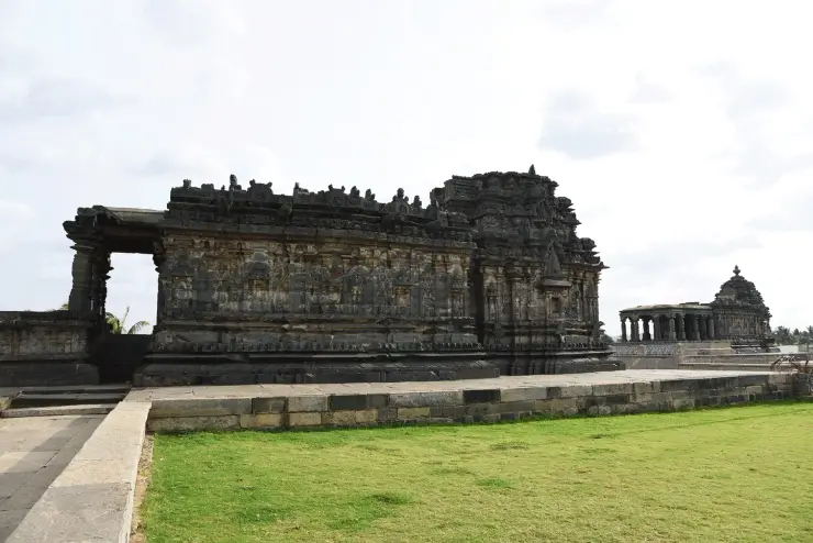
OpenStreetMap context centred on Lakkundi Archaeological Museum; this planning image does not assert a gate or public path.
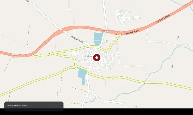
OpenStreetMap context centred on Lakkundi Archaeological Museum; this planning image does not assert a gate or public path.
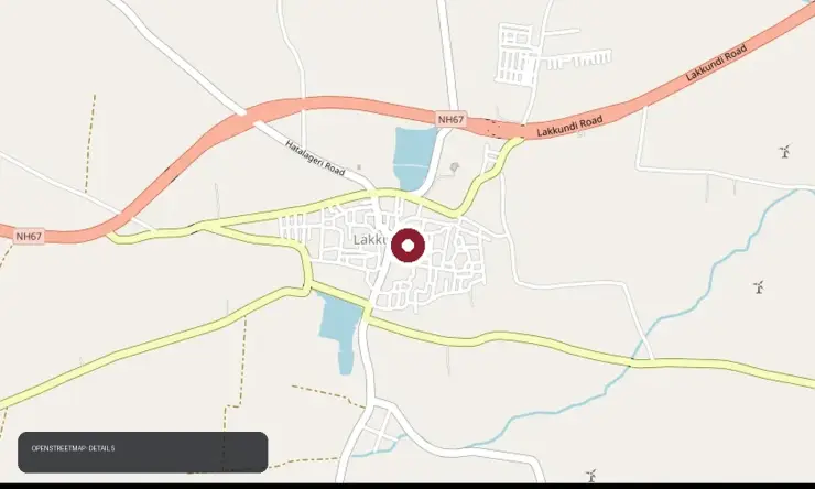
OpenStreetMap context centred on Lakkundi Archaeological Museum; this planning image does not assert a gate or public path.
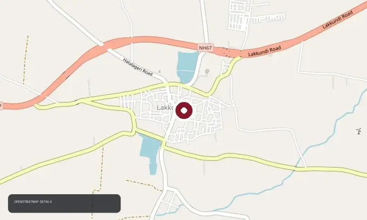
OpenStreetMap context centred on Lakkundi Archaeological Museum; this planning image does not assert a gate or public path.
Photographs: © OpenStreetMap contributors, ODbL (ODbL), P. Madhusudan, CC0, via Wikimedia Commons (CC0), Lpp3535, CC BY-SA 4.0, via Wikimedia Commons (CC BY-SA 4.0), Dineshkannambadi, CC BY-SA 4.0, via Wikimedia Commons (CC BY-SA 4.0), Bijoyv, CC BY-SA 4.0, via Wikimedia Commons (CC BY-SA 4.0), Manjunath Doddamani Gajendragad at English Wikipedia, Public domain, via Wikimedia Commons (Public domain), Rizhwickh, CC BY-SA 4.0, via Wikimedia Commons (CC BY-SA 4.0). Wikimedia Commons.