What to expect
Highlights
- The old hill-fort ramparts and gateways.
- The 1857 Nargund-revolt history.
- The views over the Malaprabha plain.
Nargund Fort is an ancient Rashtrakuta-era hill fort above the town of Nargund, refortified by the Marathas in 1675 and later held by Mughals and Hyder Ali and Tipu.

It is best known for the 1857–58 Nargund revolt led by Baba Saheb Bhave, one of the flashpoints of the uprising in this part of the Deccan.
Road km to Gadag; ghat roads and traffic vary — allow extra.
October to February; mornings are coolest.
Live forecast loads in your browser.
Sun and moon are calculated for this location and shown in IST. Photography windows are the hour around sunrise and sunset; the sunset bearing is degrees clockwise from true north. Moon phase is accurate to about half a day.
Verified hotels, homestays, restaurants, experiences, sights, shops and rentals around Nargund Fort — commission-free, with direct contact. Filter by what you need.
Verified places are being added. The category filters will fill in as approved stays, restaurants, experiences, sights, shops and nature listings go live.
List your placeRoampedia is commission-free — own or know a stay, eatery, guide or shop near Nargund Fort? List it and it appears here once verified.
Add a nearby businessEntry: Free
Above Nargund town in NW Gadag district; by road then a climb
If you are travelling by bus or ferry, check the return service with the operator before setting out. Leave time to reach the stop or jetty after your visit.
Ask at the bus stand for the time of the last service back, not the next one. If you miss it, an auto or app cab is the fallback — agree the fare before you get in.
If you need step-free access, contact the site before travelling. Ask about a level entrance, steps along the route, the nearest drop-off point, seating and accessible toilets.
Emergency numbers are verified against official government and state tourism sources. 112 works anywhere in India.
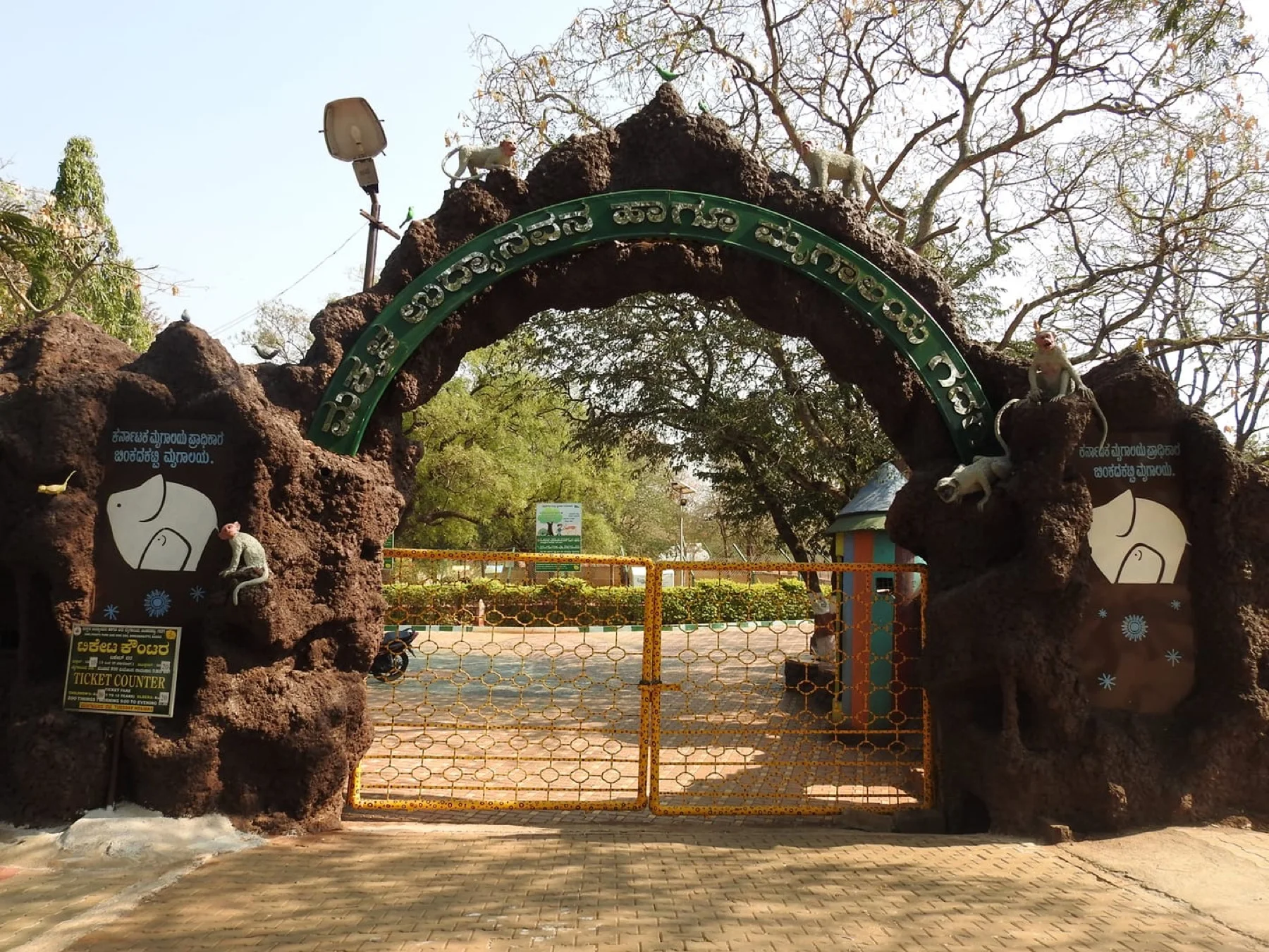
A small state zoo and deer park at Binkadakatti on the edge of Gadag, opened in 1972 in a dry-scrub reserve — spotted deer, blackbuck, birds and a green picnic stop for families.
41.6 km · ~69 min by cab · straight line
An early-12th-century Vishnu temple in Gadag town, linked to the Hoysala king Vishnuvardhana, where the 15th-century poet Kumaravyasa is said to have composed his Kannada Mahabharata (the Karnata Bharata Katha Manjari).
42.0 km · ~70 min by cab · straight line
A Kalyani-Chalukya Shaiva complex in Gadag town enshrining a three-linga (trikuta) pedestal, famous for its adjoining Saraswati shrine with intricately lathe-turned stone pillars — a masterwork of 12th-century Deccan carving.
42.6 km · ~71 min by cab · straight line
The Bhimambika (Bhimavva) goddess temple and math at Itagi in Ron taluk, beside a roughly thousand-year-old Chalukya Shambhulinga Shiva shrine — a busy Shakta pilgrimage centre. (A different Itagi from the Mahadeva temple in Koppal district.)
47.4 km · ~79 min by cab · straight line
The oldest and largest temple at Lakkundi, an early-11th-century Jain basadi dedicated to Mahavira and built by the poet-patron Attimabbe — a landmark of the Chalukyan "city of 101 temples and 101 wells".
51.7 km · ~86 min by cab · straight line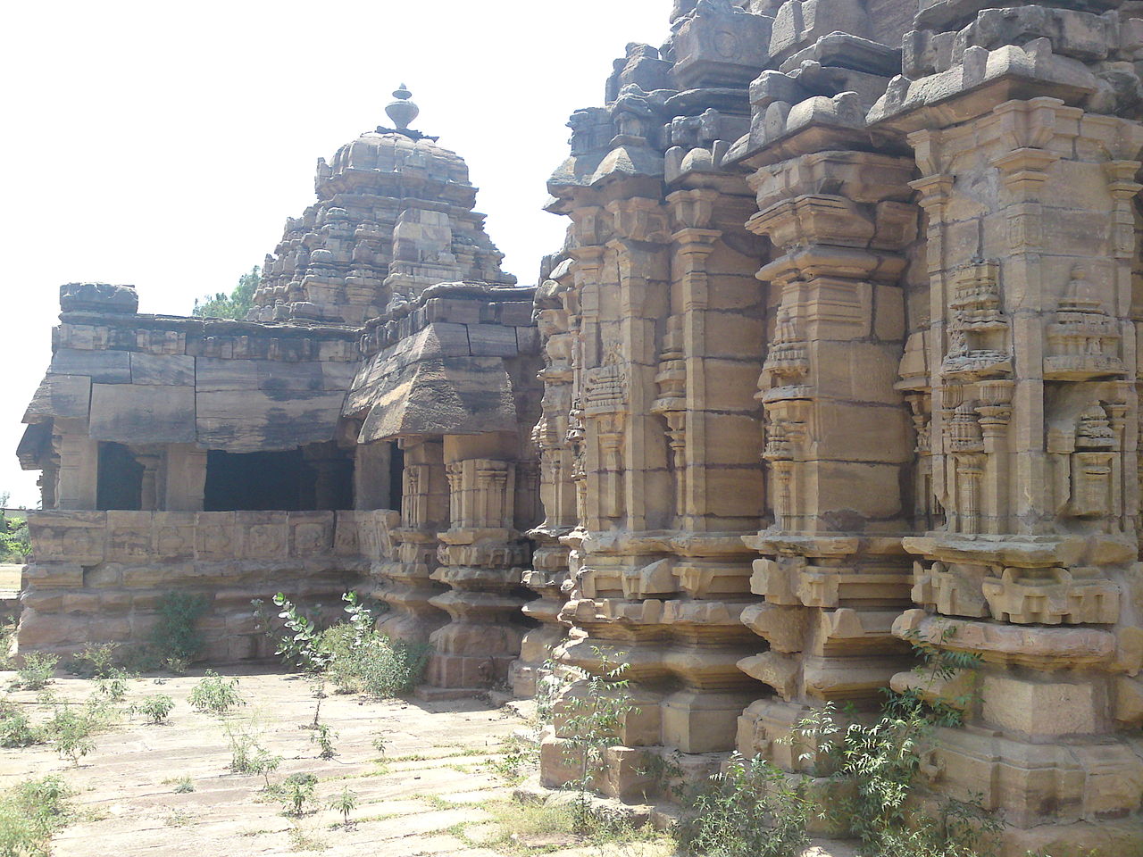
The twin-towered "Jodu Kalasa" temple at Sudi, built in 1069 CE by Nagadeva, minister of the Chalukya king Someshwara II — two sanctums sharing a common Nandi mandapa, a rare dvikutachala plan in the Chalukyan country.
51.7 km · ~86 min by cab · straight line
A Chalukya Shiva temple at Lakkundi paired with the ornate Musukina Bhavi stepwell, one of the finely carved kalyanis for which the old capital is famed, with niched shrines around the water.
51.8 km · ~86 min by cab · straight line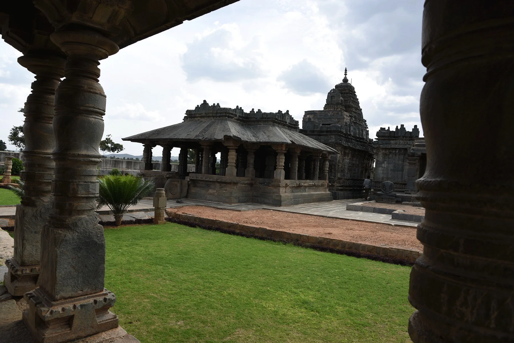
An ASI gallery in Lakkundi displaying sculptures, hero-stones and inscriptions recovered from the town’s scores of Chalukya temples and stepwells — a useful key to the whole heritage cluster.
51.9 km · ~87 min by cab · straight line
A compact Chalukya Shiva temple at Lakkundi, considered a stylistic forerunner to the grander Kasivisvesvara that stands close by — finely proportioned and richly moulded.
52.0 km · ~87 min by cab · straight line
The marquee of Lakkundi (c. 1087 CE) — a twin temple whose Shiva and Surya sanctums face each other across a shared mandapa, its walls a lacework of Kalyani-Chalukya carving blending Dravida and Nagara styles.
52.0 km · ~87 min by cab · straight line
A wetland tank near Magadi in Shirahatti taluk that draws thousands of migratory bar-headed geese and 130-plus bird species each winter — a Conservation Reserve and a Ramsar site of international importance.
58.4 km · ~97 min by cab · straight line
A Western Chalukya Shiva temple at Dambal (c. 1124 CE) built on a rare 24-point stellate plan, its polygonal star-shaped vimana ringed by bands of carving and fronted by a large Nandi.
63.0 km · ~105 min by cab · straight lineOctober to February; mornings are coolest.
Entry: Free. Timings: Daylight hours.
Above Nargund town in the north-west of Gadag district; reached by road, then a climb. Wear good shoes, carry water and go by day; the hill is open and rocky.
1 to 1.5 hours with the climb.
Nearby you can pair Binkadakatti Zoo (41.6 km), Veeranarayana Temple, Gadag (42.0 km), Trikuteshwara Temple, Gadag (42.6 km), Itagi Bhimambika Temple (47.4 km).
Photographs: Prabhakar Kurtakoti, CC BY-SA 4.0, via Wikimedia Commons (CC BY-SA 4.0). Wikimedia Commons.