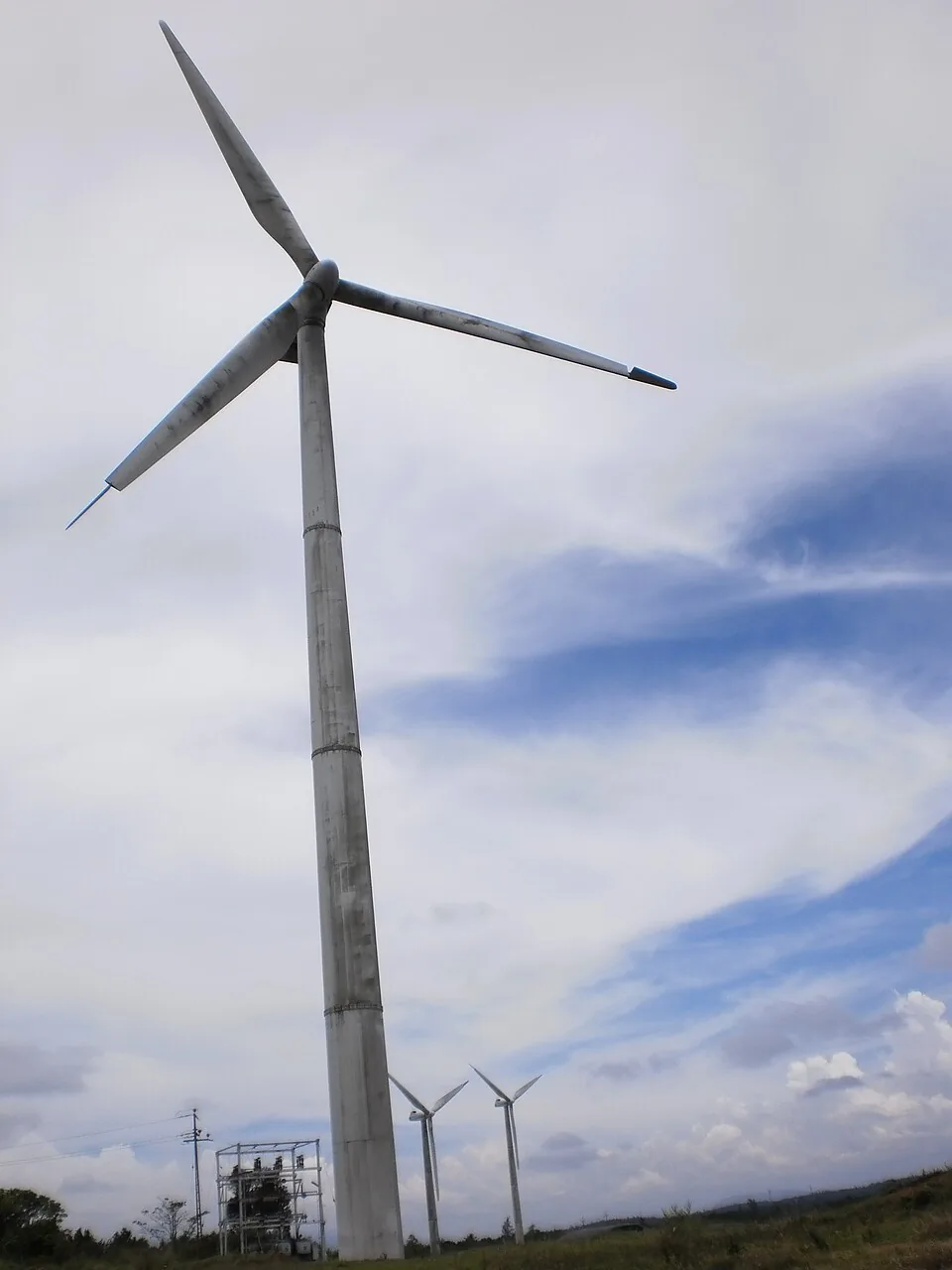
Read anything about Ramakkalmedu and you will meet the same sentence in slightly different clothes: a constant wind of around 35 kilometres an hour blows here all year round, regardless of season or time of day. It is repeated on travel sites, in listicles and in tour copy. It is also, on the only measurements anybody has ever published for this ridge, wrong in the one respect that matters to somebody planning a trip.
The measurements exist because the state wanted to build wind farms. In January 2005 ANERT, the Agency for Non-Conventional Energy and Rural Technology set up by the Government of Kerala, asked the Centre for Wind Energy Technology in Chennai to do micrositing work at Ramakkalmedu and Pushpakandam. C-WET’s report draws on a mast that had stood on this ridge — at 1,070 metres, 750 metres east of the rock called Aamai Para — logging wind speed and direction at ten and twenty metres from January 1992 to December 1995.
What four years of data actually say
The headline number is genuinely impressive. The annual average wind speed at twenty metres came out at 8.41 metres a second, which the report calls “one of the highest annual mean wind speed observed in the country”. The annual mean wind power density was 546 watts per square metre. The fitted Weibull curve gives A = 9.2 m/s and k = 2.39. The predominant direction is west, about 32 per cent of the time in the south-west monsoon, swinging north-east for about 18 per cent in the north-east monsoon.
And then the seasonal figures, which are the ones nobody quotes: “The maximum and minimum monthly mean wind speeds observed at 20 M level were 13.04 m/s in June and 4.96 m/sec in April.” Thirteen point nought four against four point nine six. That is a factor of two and a half between the windiest month and the calmest one. Converted into the units the travel pages use, June averages about 47 kilometres an hour and April about 18.
The sentence that started it
Three sentences after publishing those two figures, on the same page, the same report says: “It is also observed that the wind speed is almost constant throughout the year.” There is no reconciliation offered and none is possible on the report’s own numbers. What is probably meant is the thing the sentence before it says — that except for April, every month falls in the range 6.94 to 14.5 metres a second, which is strong wind by any standard, and that the area has “very strong winds at least for 10 months in an year”. That is a defensible claim. “Almost constant” is not, and it is almost certainly the ancestor of the constant-35-km/h line that now circulates everywhere.
This is worth being precise about rather than scornful. The report is a serious piece of work and its purpose was to decide where to put turbines, not to advise visitors. For turbine siting, a resource that is strong for ten months of twelve is effectively constant. For somebody driving four hours to stand on a rock and feel the wind, April and June are different holidays.
So when should you come?
If the wind is the reason you are coming, June to August. That is the peak of the measured curve and it is not close. The trade-off is cloud: the same months bring mist onto this ridge, the Malayalam travel press warns directly that the drive up to Aamai Para is risky when it is in, and the red-earth track that the jeeps climb turns slippery. You may get the wind and no view at all.
If the view is the reason, October to February. The wind is still well above the annual mean for most of that stretch, the air is clear, and the Tamil Nadu plains open out as far as Kombai, Cumbum and Bodinayakanur. March to May is the weak season, and April specifically is the month the state’s own data singles out as the quietest of the twelve.
One more line worth carrying up the hill
The report contains a sentence that is oddly specific about where on this ridge the wind is worst: “winds are generally decreasing as one goes towards west. The maximum wind pressure is felt close to the points, which abruptly ends with steep escarpment in the eastern side.” Aamai Para sits on precisely that eastern lip, twenty-five metres from the Tamil Nadu border. If you want the full force of what the state measured, that is the spot — and it is also the spot where being blown about is least advisable. Use the fenced viewpoints.