Ramakkalmedu is in Kerala. Kerala Tourism lists it among the state’s hill stations, the English Wikipedia opens by calling it “a hill station and a hamlet in Idukki district in the Indian state of Kerala”, and everyone who goes there goes on a Kerala holiday. None of that is in doubt.
What is more complicated is where the line actually runs. The Kerala–Tamil Nadu boundary follows the crest of this ridge, and if you ask a map what state each of Ramakkalmedu’s named features stands in, the answers are not the ones you would expect.
Feature by feature
The Kuravan and Kurathi statue, the pair of figures that is the single most photographed thing on the ridge, reverse-geocodes to Uthamapalayam, Theni district, Tamil Nadu. So does the mapped viewpoint. So does the hornbill-shaped watch tower. So, most surprisingly, does Ramakkal itself — രാമക്കൽ, the rock the whole place is named after, mapped as a peak at 1,063 metres. Even the settlement node that carries the Malayalam name രാമക്കൽമേട് and links out to the English Wikipedia article about a Kerala hill station falls on the Tamil Nadu side of the boundary as drawn.
Aamai Para does not. The tortoise rock sits about twenty-five metres west of the boundary line, and the geocoder places it in Thovalappady, Chottupara, Udumbanchola taluk, Idukki district, Kerala, postcode 685552. Of the named features on this ridge, it is the one the boundary clearly puts in Kerala.
Is the map wrong, or is the ridge?
Probably neither, entirely. Boundaries drawn on open mapping data are approximations of survey lines that were themselves drawn along a crest, and a crest is not a line — it is a few tens of metres of rounded ground. On a ridge where the whole tourist complex sits within a couple of hundred metres of the watershed, small differences in where the line is drawn move landmarks from one state to the other. That is a mapping question rather than a legal one, and this page is not going to settle it.
What is worth saying is that the closeness is real and it is documented by the state itself. When the Centre for Wind Energy Technology surveyed this ridge for the Government of Kerala in 2005, it wrote that “the Kerala–Tamilnadu border line divides the ridge equally and it confines the utilization of lands for wind power projects”, and later, working out where turbines could stand, that “boundary of the area has limited the flexibility of deploying machines”. Half of the best-measured wind resource in Kerala is in another state, and the state’s own engineers said so.
What it means on the ground
Practically, very little and one useful thing. There is no checkpost, no barrier and nothing to show anybody: you walk from one state to the other without noticing. The useful thing is that your phone will notice. Standing on this ridge, handsets flip between Kerala and Tamil Nadu networks and may start roaming, which is worth knowing before you rely on a live data connection to find your way back down an unlit track.
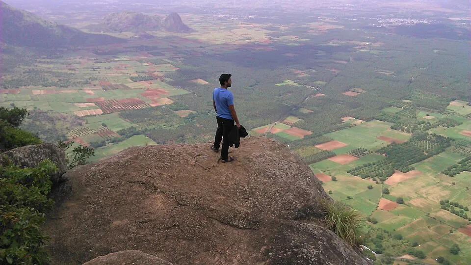
The other thing it means is cultural, and it is visible from the rock. The fields below you are farmed by Tamil speakers and the hamlets behind you — Combamukku, കോമ്പമുക്ക്, and Ammavanpady, അമ്മാവൻപടി — are Malayalam. For a long time this crest was not a boundary so much as a doorway: rice grown in the plain below was carried up over it into Idukki on people’s heads. The path the jeeps grind up today is partly the path those loads came over.