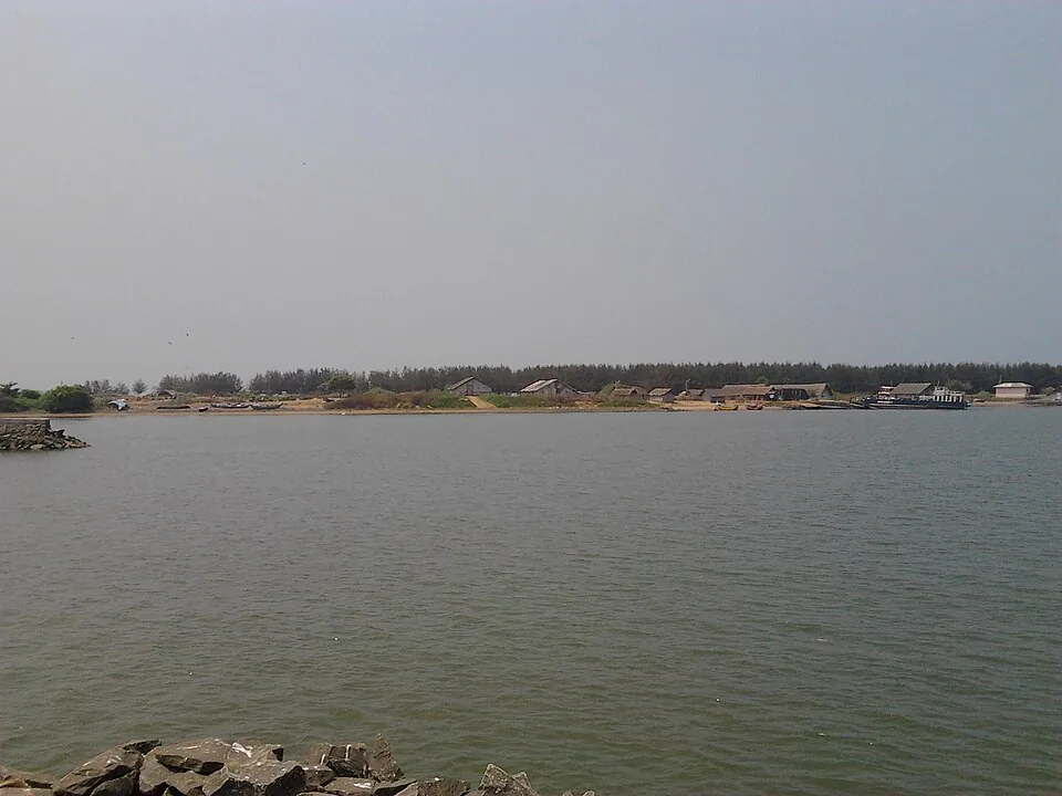
Most river mouths are one river arriving. This one is two. The Bharathapuzha — the Nila, 209 kilometres out of the Anamalai hills and the second-longest river in Kerala — is joined by the Tirur Puzha in the last stretch before the surf, and the two of them leave together through a single gap in the sand at Ponnani.
A different taluk on each bank
The south bank is Ponnani: the municipality, the harbour, the food, the town most people have heard of. The north bank is Purathur, a grama panchayat of 19.15 square kilometres and 31,915 people at the last census, and it belongs to Tirur taluk, not to Ponnani at all. The sandspit on that side is Padinjarekkara. So an address at this river mouth can perfectly correctly say Tirur, and it is a common enough source of confusion that Kerala Tourism’s own destination page files Padinjarekkara under Ponnani while describing it as lying opposite the Ponnani port. Both halves of that are true; they are simply on opposite banks.
336 metres, held open by rock
The gap the two rivers use is not a natural width. Two rock breakwaters were built out at the mouth so that fishing boats could reach the harbour inside it, and the narrowest distance between their heads is about 336 metres. That is the whole opening: everything the two rivers bring down, and everything the tide pushes back up, goes through it.
- 209 km — the length of the Bharathapuzha, from the Anamalai hills to this gap.
- 336 m — the distance between the two breakwater heads at the mouth.
- 840 m — how far inside the mouth the Ponnani fishing harbour lies.
- 6.4 km — how far upstream the Chamravattom regulator stands, in a straight line.
Frequently asked questions
Which rivers meet the sea at Ponnani?
The Bharathapuzha (the Nila) and the Tirur Puzha. They join each other at Purathur and enter the Arabian Sea together through one mouth.
Is Padinjarekkara in Ponnani?
Not administratively. Padinjarekkara is the sandspit on the north bank, in Purathur grama panchayat, Tirur taluk. Ponnani is the town on the south bank.
How wide is the mouth of the Bharathapuzha?
About 336 metres between the heads of the two breakwaters that hold the channel open for the fishing fleet.