There is a number attached to this rock that nearly everybody prints and nobody has checked. It is worth walking through how we checked it, because the method matters more than the answer.
The published figures do not agree
English Wikipedia and OpenStreetMap give Jatayupara an elevation of 350 metres (1,150 ft). Malayalam Wikipedia says 1,200 feet, or 366 metres. The Kerala travel press says 1,000 feet, or 305 metres, and the sculptor also describes building on a “1,000 ft rock” on the operator’s site.
Four figures for one hill, no two the same. That on its own is the tell. When two languages of the same encyclopaedia disagree about a hill's height while agreeing on its position to within 150 metres, you are not looking at a measurement with a margin of error. You are looking at an assertion that has been copied.
What we did
Global digital elevation models are public and free to query. They are produced independently, by different agencies, using different physics. On 15 August 2026 we asked four of them for the elevation at the summit cell and at the town floor.
- SRTM-30m (NASA, radar) — summit 184 m, town 59 m
- Mapzen / Terrain (blended) — summit 184 m, town 59 m
- SRTM-90m (CGIAR, radar) — summit 170 m, town 56 m
- ASTER-30m (METI/NASA, optical stereo) — summit 159 m, town 52 m
So: the summit is roughly 180 metres above sea level, and the rock stands about 125 metres above the ground around it.
The most-cited published figure is nearly double that. And the models are not agreeing because they copied each other — SRTM is radar interferometry flown on a Space Shuttle mission, ASTER is optical stereo imagery from a different satellite entirely. A radar model and an optical model, produced by different teams from different data, land within 25 metres of one another and 166 metres away from Wikipedia.
The honest caveat
A 30-metre elevation model averages the ground over a 30-metre cell, which means it can genuinely shave a metre or two off a narrow rock pinnacle. If the true summit boulder is a little above 184 m, that would not surprise us.
What a 30-metre model cannot do is lose 166 metres from a landform five hundred metres across. The gap is a factor of two, not a rounding.
Why this error survived
Because of its shape, and this is the part worth carrying to other pages.
Kerala Tourism once published Kakkayam as being at "2500 m" when it is at 759.55 m — a feet figure printed as metres, the classic unit slip. That kind of error is loud: the parenthetical conversion, if anyone adds one, immediately looks absurd.
This one is quiet. A wrong metric figure — 350 — was converted correctly into feet, giving 1,150. The two halves agree with each other perfectly. Nothing on the page looks wrong. It passes every internal check a careful reader could make, and the only way to catch it is to go outside the text and measure.
What 180 metres actually means for a visit
It means this is not a hill station and you should not plan it as one. There is no change of climate at the top, no cool air, no need for a jacket. Anyone driving here expecting something like Ponmudi will be disappointed.
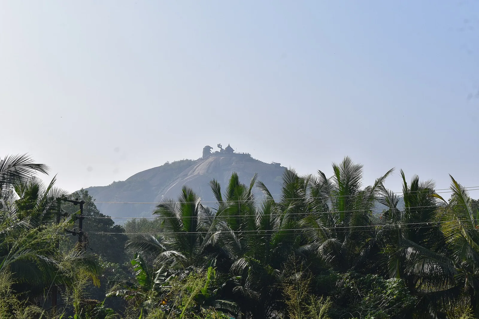
What 125 metres of local relief does give you, in country this flat, is a genuinely commanding rock — the kind that stands out of the landscape for miles and gets named, climbed and eventually built on. The interest of Jatayupara was never its altitude. It is that a hard old dome is sitting in the middle of soft ground, visible from everywhere, impossible to ignore.
Frequently asked questions
How high is Jatayupara really?
About 180 m above sea level, standing roughly 125 m above the surrounding country. Four independent elevation models queried on 15 August 2026 give 184 m, 184 m, 170 m and 159 m at the summit, against a town floor of 52–59 m.
Why does Wikipedia say 350 m?
We do not know its source, and neither, apparently, does Malayalam Wikipedia — which gives 1,200 feet for the same rock while agreeing on its location to within 150 m. Four published figures circulate (350 m, 1,200 ft, 1,000 ft, and the sculptor's "1000 ft rock") and no two match.
Could the models be wrong?
They can under-read a narrow pinnacle by a metre or two, because a 30-metre model averages the ground over a 30-metre cell. They cannot lose 166 metres from a hill five hundred metres across, and a radar model and an optical model produced by different agencies agree here within 25 m.
Is it a hill station?
No. At about 180 m there is no change of climate at the top. It is a commanding rock in flat country, not an elevation.
Why did the wrong figure last so long?
Because of its shape. A wrong metric figure was converted correctly into feet, so the number and its conversion agree and the page looks internally consistent. That is harder to spot than a unit slip, and the only way to catch it is to measure independently.