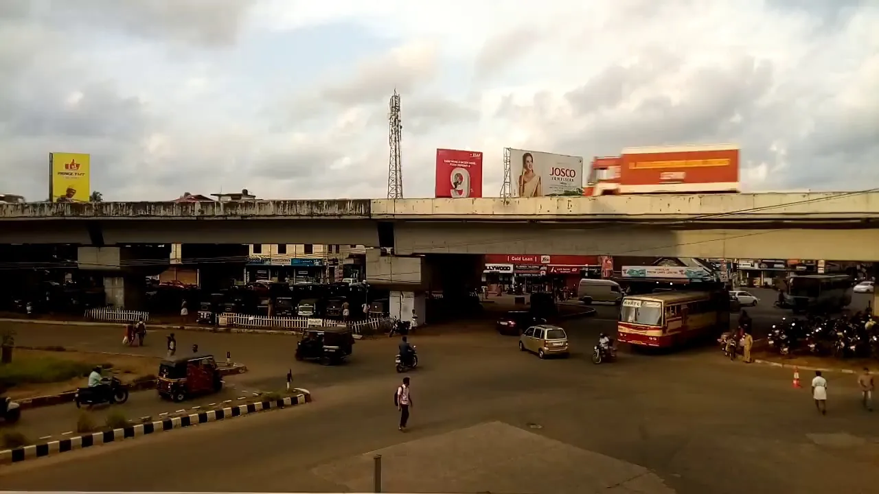
Most people who get off at Chalakudi are going somewhere else, and the thing that catches them out is not the connection, the timetable or the fare. It is a kilometre and a half of geography in the wrong direction.
The measured shape of the problem
Chalakkudy railway station stands at 10.30239 N, 76.32156 E, on Mala Road at Thachudaparambu, postal area 680307. From there, Mala Road is about 120 metres from the forecourt, National Highway 544 about 1.4 km east, the private bus stand about 1.6 km east, and the western end of State Highway 21 — the road towards Athirappilly — about 1.9 km north-east.
So the station is on the west flank of the town, and every onward road a visitor wants is on the east. The transfer is short, entirely ordinary, and completely predictable, and it still surprises people, because the mental model most travellers arrive with is that a station serving a waterfall town will be pointed at the waterfalls. This one is pointed away from them. Twenty minutes and an autorickshaw solves it. Not budgeting the twenty minutes does not.
Make sure it is the right station
This section of line is unusually full of stations whose names do not describe where they are, and it is worth checking before you book rather than after you arrive.
Irinjalakuda station, code IJK, is the next station north. It does not stand in Irinjalakuda. It stands in Kallettumkara village, about 8 km away from the town it is named for. Divine Nagar, code DINR, is the next station south, and it is a small HG–1 class halt that exists because the Divine Retreat Centre stands next to it; it is served by a couple of passenger pairs and a couple of MEMU pairs daily, with a single express — the Netravati — stopping on Fridays, Saturdays and Sundays for people going to the retreat centre. If you are heading for Athirappilly and something offers you Divine Nagar because it looks close on a map, decline.
And then there is the name of this station itself, which is the trap people fall into most often. See the section below.
Onward to the waterfalls
Chalakkudy is the road head for the Athirappilly and Vazhachal belt, and the Athirappilly Falls sit up State Highway 21 from the eastern edge of the town. The town record covers the bus services, the private stand and the taxi arrangements in detail, and the road itself — with its forest checkposts and timed gates — is described there as well. What belongs here is simply the interchange logic: you arrive west, you cross the town, and you leave east. Plan the crossing as a leg of the journey rather than as a detail.
Two practical consequences follow. First, if you are arriving on a train that gets in late, work out your onward transport before you board, because the forest road is not a place to improvise after dark and the gates up SH 21 are timed. Second, if you are coming back down the same day, the return transfer runs into the town’s evening traffic on NH 544, which the flyover at Chalakudy South has improved but not abolished.
One thing worth doing if you have an hour to spare between trains: the walk east from the station towards the centre crosses Tramway Road, about a kilometre and a quarter away, which is the alignment of the Cochin State Forest Tramway with its rails tarred over and its name intact. It is not a monument and there is nothing to see beyond a road with an odd name, but it is the only place in the town where the two systems that made this station worth building are still, in a sense, in the same frame.
The airport is closer than you think
Cochin International Airport at Nedumbassery is 19 km from here, which makes this station a genuine rail-to-air interchange rather than a rural halt. For a traveller flying into Kochi and heading straight for the waterfalls, the airport is usually the better start; for one arriving by long-distance train from outside Kerala, Chalakudi is very often nearer than either Thrissur or Ernakulam to what they actually want. English-language sources rank it the second-largest station in Thrissur district after Thrissur itself, and record it as the first station in the district to be declared an Adarsh station.
It also helps to know what kind of station this is when you step off. The Shoranur–Cochin Harbour section is described in English-language sources as carrying an average of around 110 trains a day, passenger and goods together, and a corridor working that hard does not give its intermediate stations long dwell times. Have your bag off the rack before the train slows, and check which platform you are being set down on before you start looking for the exit, because the road-side building and the forecourt are on the Mala Road side only.
Two spellings, one place
The station is commonly written Chalakudi and the town Chalakkudy. Both romanise the same Malayalam name, ചാലക്കുടി; the station map label uses that spelling alongside the railway code CKI.
What happened is ordinary and slightly annoying. The Railway fixed an older transliteration onto its nameboards and into its reservation and enquiry systems and has kept it; the town’s administrative and local English spelling went the other way and doubled the k. The yellow trilingual board on the platform reads Chalakudi, and so will your ticket. The practical rule is to search by the code CKI or by Chalakudi, and not to conclude that a booking site has no station here because Chalakkudy returns nothing.
What not to rely on
A count of how many trains stop here is the least durable fact on this page, and we have deliberately not built anything around one. Stopping patterns on a high-density corridor change with every timetable revision, express stops are added and withdrawn, and MEMU diagrams get recast. Anything you read anywhere — including on our own town record, which gives a figure and labels it as one — is a snapshot of the year it was written.
The durable facts are the ones that have not moved in decades: this is a station on the Shoranur–Cochin Harbour section, it is served by both long-distance and local services, it is about 1.4 km west of the highway, the waterfall road starts about 1.9 km north-east of it, and the airport is 19 km away. Check the live timetable for the rest, on the day, under the name Chalakudi.
Frequently asked questions
How far is Chalakkudy railway station from the Athirappilly road?
About 1.9 km. The mapped western end of State Highway 21, the Chalakudy–Athirapally–Anamala road, lies roughly 1.9 km north-east of the station, with the town centre and National Highway 544 in between at about 1.4 km.
Should I book to Chalakkudy or Chalakudi?
Chalakudi, or better still the station code CKI. The Railway uses the older transliteration on its boards and in its systems; the town is spelled Chalakkudy. Both render the same Malayalam name, ചാലക്കുടി.
Is Divine Nagar a good alternative station for the waterfalls?
No. Divine Nagar is a small halt serving the Divine Retreat Centre next to it, with only a couple of passenger and MEMU pairs a day and one express stopping at weekends. Chalakkudy is the road head for Athirappilly.
Is Irinjalakuda station in Irinjalakuda?
No — it stands in Kallettumkara village, about 8 km from Irinjalakuda town. This section of line has several stations that are not where their names suggest.
How far is the airport?
Cochin International Airport at Nedumbassery is 19 km away, which often makes it the better starting point for travellers flying into Kochi and heading for the waterfalls.