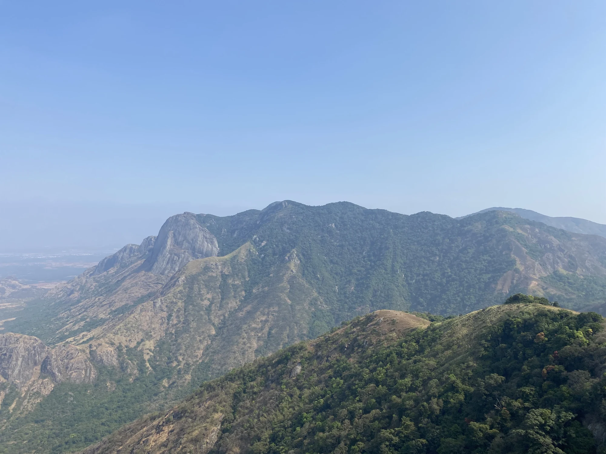
Chathurangappara is more than the name printed beneath a windmill photograph. It is also a village in Udumbanchola taluk, with an official account of its geography and administrative history. Reading that account adds two different kinds of story to the hilltop: a tradition explaining the name, and dated changes in how the surrounding land was organised.
The chathurangam tradition
The village history connects the name with chathurangam, a board game, said to have been played on the hilltop. Its narrative includes Pandya rulers and places the tradition in an ancient historical setting. This is the local explanation preserved by the village account; it should be introduced as a tradition rather than as a dated event established by a surviving inscription.
That distinction changes what a visitor expects. The story does not justify looking for a verified ancient board cut into the ridge, a royal pavilion or a reconstructed playing ground. The hilltop landscape is real and visible, while the name tradition belongs to the way people explain and remember it. Both can be interesting without turning one into physical proof of the other.
A village within the Cardamom Hills
The administrative account describes the area through the older Cardamom Hills divisions and its association with Udumbanchola. The surrounding geography remains relevant to that description: the village is hilly and largely associated with cardamom plantations. The exposed viewpoint is therefore one part of a much larger inhabited and cultivated area.
A journey along the approach road makes that wider scale easier to understand. The locality, its buildings and transport stop come before the open crest. The name used for the viewpoint can also refer to that village landscape, so a driver and visitor need to agree on the hilltop approach rather than assuming that arrival anywhere in Chathurangappara completes the journey.
The dated administrative milestone
The village account records the formation of Chathurangappara village on 1 October 1956 after the division of Udumbanchola village. This is an administrative date. It is not the beginning of settlement, the age of the hill, or the year when tourists first visited the viewpoint. Keeping its meaning precise avoids attaching a recent government boundary change to a much older name tradition.
The record also places the village in Udumbanchola taluk. That location matters when the destination is promoted as part of a Munnar itinerary. Munnar can be the visitor’s travel base while Chathurangappara remains a separate locality with its own road approach and village identity. A useful guide should make room for both relationships.
The modern ridge is another layer
Today, wind turbines give the crest its recognisable skyline. Steel towers and connecting tracks occupy the exposed high ground, while the village’s administrative history belongs to the settled landscape below. The name tradition adds another layer. Looking between village, ridge and plain helps keep those histories connected to their particular settings.
Read the official village history alongside the village geography. The ancient game association is presented here as tradition; the 1956 formation is the dated administrative claim.
Plan the visit: Chathurangapara Viewpoint.