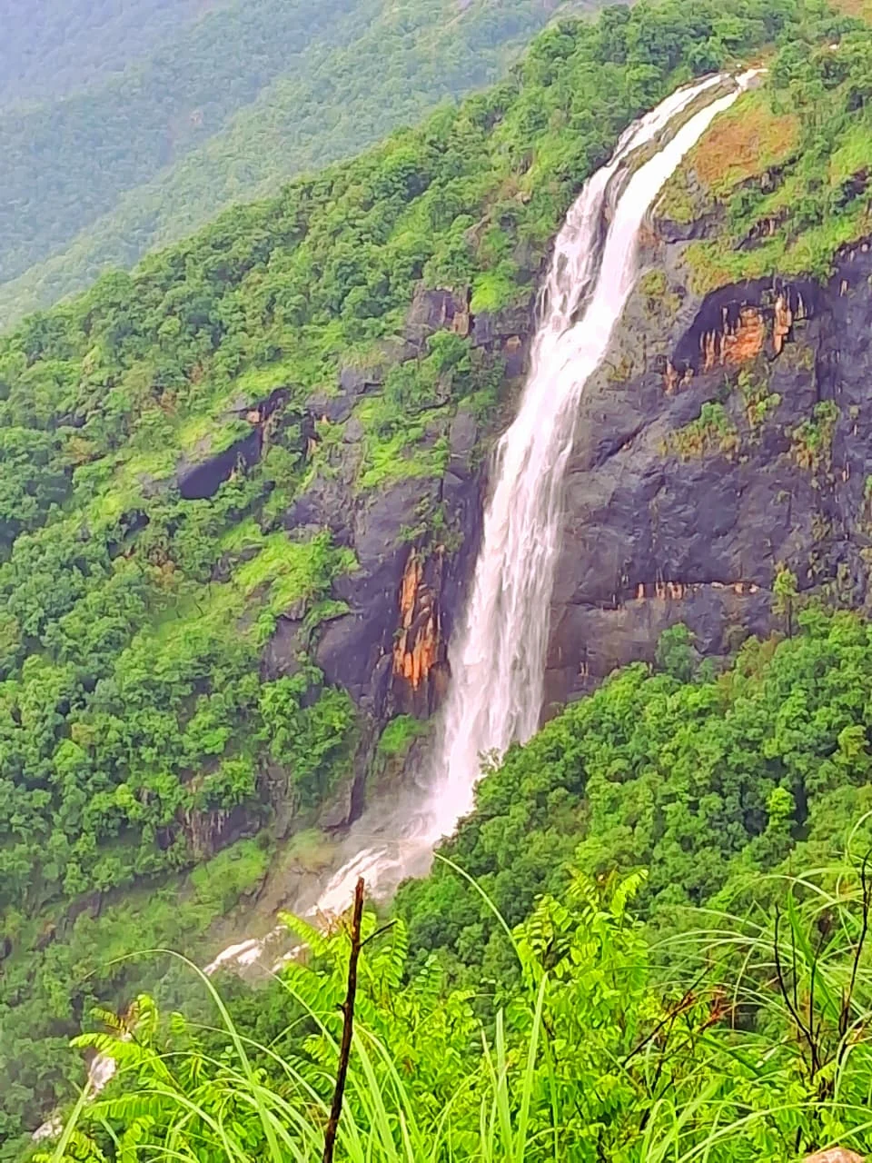
The waterfall associated with Chellarkovil is most useful to understand as a feature seen across steep terrain. Water descends over dark rock within a densely vegetated slope, creating a bright line that can draw attention away from the wider plains view. Seeing that line does not establish a walking route to its base.
Read the drop within the slope
The official ecotourism photograph shows white water passing through a dark rock channel, with thick greenery around it. The surrounding slope is as important as the water itself: it explains why an apparently close cascade can remain separated from the observer by difficult ground.
A photograph also freezes one flow condition. Rainfall and the season affect how much water is visible, while mist and vegetation can affect the view. The same lookout should not be expected to produce an identical waterfall image throughout the year.
For a landscape visit, the useful observation is the relationship between channel, rock and enclosing vegetation. The water marks a route down the slope, but the visitor’s route remains the one opened by the park operator.
A view is not a descent
The ecotourism park has a defined entrance, garden and viewing facilities. Those provide the framework for the public visit. A visible line through vegetation or a path used for another purpose should not be treated as an extension of the visitor route.
The waterfall’s base may appear attractive in photographs, but swimming and pool access are separate claims requiring a specific authorised arrangement. They should not be added to a Chellarkovil outing merely because the destination name includes a cascade.
This is also why the map identifies the ecotourism park rather than a point on the waterfall itself. The arrival should lead to the managed visitor setting, not to a remote watercourse coordinate that a navigation app attempts to reach by unsuitable tracks.
Keep neighbouring names distinct
Pandikuzhi is another name used for the wider border landscape near Kumily. Tourism descriptions sometimes discuss it alongside Chellarkovil, but that does not make the public garden, every cliff outlook and every stream one attraction with a shared entrance.
For a combined outing, name the intended stop and its actual access arrangement. The managed Chellarkovil park is a concrete destination. Any separate Pandikuzhi approach needs its own local route and permission where the journey leaves public roads.
The waterfall can enrich the Chellarkovil panorama without becoming an expedition to the channel. Observe it from the permitted area, allow for changing flow and visibility, and let the escarpment remain part of the scene rather than an obstacle to be crossed for a closer photograph.
Plan the visit: Chellarkovil Viewpoint.