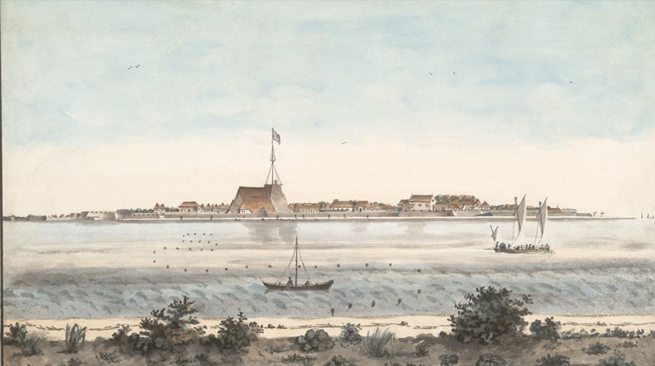
Everything that makes Fort Kochi Beach what it is — the deep channel the ships come through, the current the fishing nets work, the fact that a Portuguese fleet bothered to arrive here at all — depends on an event in 1341 that nobody appears to have written down at the time.
Before that year, the great port of this coast was Muziris, well to the north, the harbour that had traded with Rome. After it, Muziris was gone and Kochi was a port. The beach you stand on faces a gap in the coast that is younger than the town’s oldest legends.
The flood nobody recorded
What is thought to have happened is an extreme rainfall event on the Periyar, the river draining a long stretch of the Western Ghats behind Kochi. The runoff carried an enormous load of silt down to the coast. Muziris’ harbour choked. The river changed course. And the water forced a new opening through the coastal sandbar to the Arabian Sea, at the point where Fort Kochi now sits.
The striking thing is the evidence. There is no contemporary chronicle of the flood — no direct historical account of it survives. What survives instead is a calendar. A local era known as the Puthuvype Era, or the Era of the New Deposit, begins in 1341, and people went on dating things by it. A community that starts counting years from a particular moment is telling you something happened, even when it has left you no description of what.
Land that was not there before
The same silt that closed one harbour built new ground. Vypin Island — now across the water from Fort Kochi, and reachable by the ferries that run from the jetties near the beach — is generally dated to that year, land raised out of the sea by the deposit the river brought down. The name of the era is quite literal about it.
We tell that side of the story separately in How Vypin Island was born, which follows the new land north to Cherai. This piece stays on the Fort Kochi bank, looking at the channel rather than the island.
Why the beach faces where it does
The opening the flood created was not just a gap — it was a deep, sheltered entrance to a large backwater system, which is a rare and valuable thing on a coast otherwise made of sandbars and surf. That is the whole reason for everything that followed on this shore.
It is why the Portuguese, arriving at the end of the fifteenth century, chose to build here and raised Fort Emmanuel on this beach in 1503. It is why the Dutch took it, and the British after them. It is why the seafront is a working harbour edge rather than a bathing beach, why the water moves the way it does past the nets, and why swimming here is a poor idea. The channel that made the town is also the reason the sea in front of it is not for paddling.
How we know, without a chronicle
Beyond the Puthuvype Era, the case rests on physical evidence. Archaeological work at Pattanam, in the Kodungallur and North Paravur region north of Kochi, has been central to the modern understanding of what happened to the old port, and geological study of Vypin Island and the Fort Kochi area has examined the deposits themselves.
It is worth being clear about the standard of proof. A flood in 1341 is the best explanation historians and geologists have for a set of observations — an abandoned port, a new island, a dated era, a changed river. It is not a documented event in the way the arrival of the Portuguese is documented. Sources that give you a confident narrative of the day it happened are filling in gaps that the record does not contain.
- The harbour mouth is directly in front of the fishing-net stretch of Fort Kochi Beach — the moving water there is the 1341 channel.
- The public ferries from the Fort Kochi jetties cross the channel to Vypin, which is the cheapest way to see the gap from the water.
- The remains of Fort Emmanuel sit on the seafront, marking where the Portuguese chose to fortify the entrance in 1503.
Frequently asked questions
What happened in the 1341 Kerala flood?
An extreme flood on the Periyar river is believed to have silted up the ancient port of Muziris, changed the river’s course, and opened a new mouth to the sea at Kochi — creating the harbour and, with the deposited silt, new land including Vypin Island.
Is the 1341 flood actually documented?
Not directly. No contemporary account of it survives. The main evidence is the Puthuvype Era — a local calendar beginning in 1341, meaning “Era of the New Deposit” — supported by archaeological work at Pattanam and geological study of Vypin and the Fort Kochi area.
Did the flood create Kochi harbour?
That is the accepted explanation. The new opening it forced through the coastal sandbar gave a deep, sheltered entrance into the backwaters, which is why Kochi replaced Muziris as the coast’s major port and why European powers fortified this shore.
What was Muziris and where did it go?
Muziris was the ancient port of the Malabar coast, trading with Rome, located north of present-day Kochi. It is thought to have been rendered unusable when the 1341 flood silted its harbour and diverted the Periyar.
Why can you not swim at Fort Kochi Beach?
It faces a working harbour entrance rather than open surf beach. The channel created in 1341 carries strong, shifting water past the shore, and there are no lifeguards. It is a promenade and a sunset beach, not a swimming one.