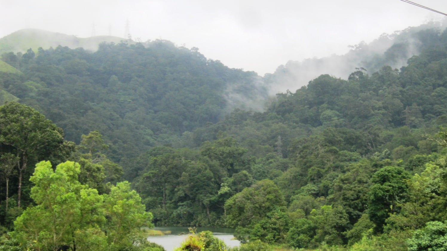
Gavi’s road is usually praised for the moments when a curtain of trees opens. What appears in those openings is often water. The official routes name Pamba Reservoir, Moozhiyar, Kakki, Anathode and Kochu Pamba because this side of the Western Ghats is not only a protected forest landscape. It is also one of Kerala’s great high-range water-storage and hydropower landscapes.
Two approaches, two readings
From Vandiperiyar, the road enters from the plantation highlands near Thekkady and runs past Pullumedu and Pamba Reservoir. From the Pathanamthitta side, the official Adavi–Gavi bus circuit climbs through Angamoozhy towards Moozhiyar, Kakki and Anathode before reaching the waters at Kochu Pamba. The roads meet the same destination, but one introduces it through spice country and the other through the dam chain.
That second approach explains why a short map distance can take most of a day. The route follows folds in the terrain, crosses controlled forest and project ground, and repeatedly trades a direct line for a contour. A reservoir may appear close across a valley while the road spends kilometres reaching its shore.
Forest above, engineering below
From a viewpoint, the water can look like a natural lake pushed into the trees. Its level, exposed margins and hard edges tell another story. Dams and linked reservoirs hold monsoon water within steep catchments, so the visible shore moves and former valley contours continue below the surface. The forest remains real; so does the infrastructure that changed its lower boundary.
The official Gavi programme joins walking and boating because they reveal opposite scales. On foot, attention contracts to cardamom leaves, animal signs and the transition between plantation shade and forest. On water, the enclosing ridges become legible as a catchment and the apparent lake becomes one reach in a connected system.
Moozhiyar, Kakki and Anathode are not photo stops alone
The Adavi bus itinerary names these dams as the spine of the outward journey rather than incidental scenery. They belong to the Sabarigiri hydropower country that reshaped access into the upper Pamba basin. Project roads helped make movement through these hills possible, while check posts and operating restrictions mean they never became ordinary through-roads.
Kochu Pamba then changes the mood. The road has climbed through monumental concrete and reservoir scale; nearer Gavi the water is read from low boats, wooded banks and quiet inlets. It is tempting to separate the industrial and scenic halves. The route is more honest when they are understood as one landscape.
A road that refuses shortcuts
Gavi’s remoteness is sometimes marketed as if distance alone created it. In practice it comes from topography, reserve protection, water infrastructure and controlled entry acting together. The road is long because it must negotiate all four. That is why the journey is not dead time before the attraction: it is the clearest cross-section of what Gavi actually is.
- Pamba Reservoir and Pullumedu belong to the Vandiperiyar-side approach.
- Moozhiyar, Kakki and Anathode structure the official Adavi–Gavi forest bus route.
- Kochu Pamba is the transition from dam country to Gavi’s quieter lake-and-forest scale.
Frequently asked questions
Why are there so many reservoirs on the road to Gavi?
The upper Pamba catchment was developed as a linked storage and hydropower landscape. The forest roads pass project areas around Moozhiyar, Kakki, Anathode and Kochu Pamba.
Is Gavi Lake a natural lake?
The water scenery around Gavi belongs to an engineered reservoir landscape. Forested slopes and natural catchments surround it, but dams control the water level and shoreline.
Which approach shows the dam landscape best?
The Pathanamthitta-side route used by the official Adavi–Gavi bus circuit explicitly passes Moozhiyar, Kakki and Anathode before Kochu Pamba.