People book the Kakkayam trek expecting a jungle expedition to a waterfall. What they get is a short downhill walk on a made-up track that ends at the top of one. Both halves of that sentence disappoint the wrong people, and both are worth knowing in advance, because the walk is genuinely good once you stop waiting for it to be something else.
A kilometre, and it goes downhill
The numbers first, because they settle the argument. Urakkuzhi Falls sits about 560 metres from the dam in a straight line — that figure comes from the EXIF coordinates on a set of Commons photographs taken on a single morning, clustering at 11.5458 north, 75.9242 east, against the dam at 11.5508, 75.9247. Published walking distances run from about one kilometre to one and a half. Those two facts are not in conflict: a path of 1 to 1.5 km covering 560 metres of ground is a path with switchbacks in it.
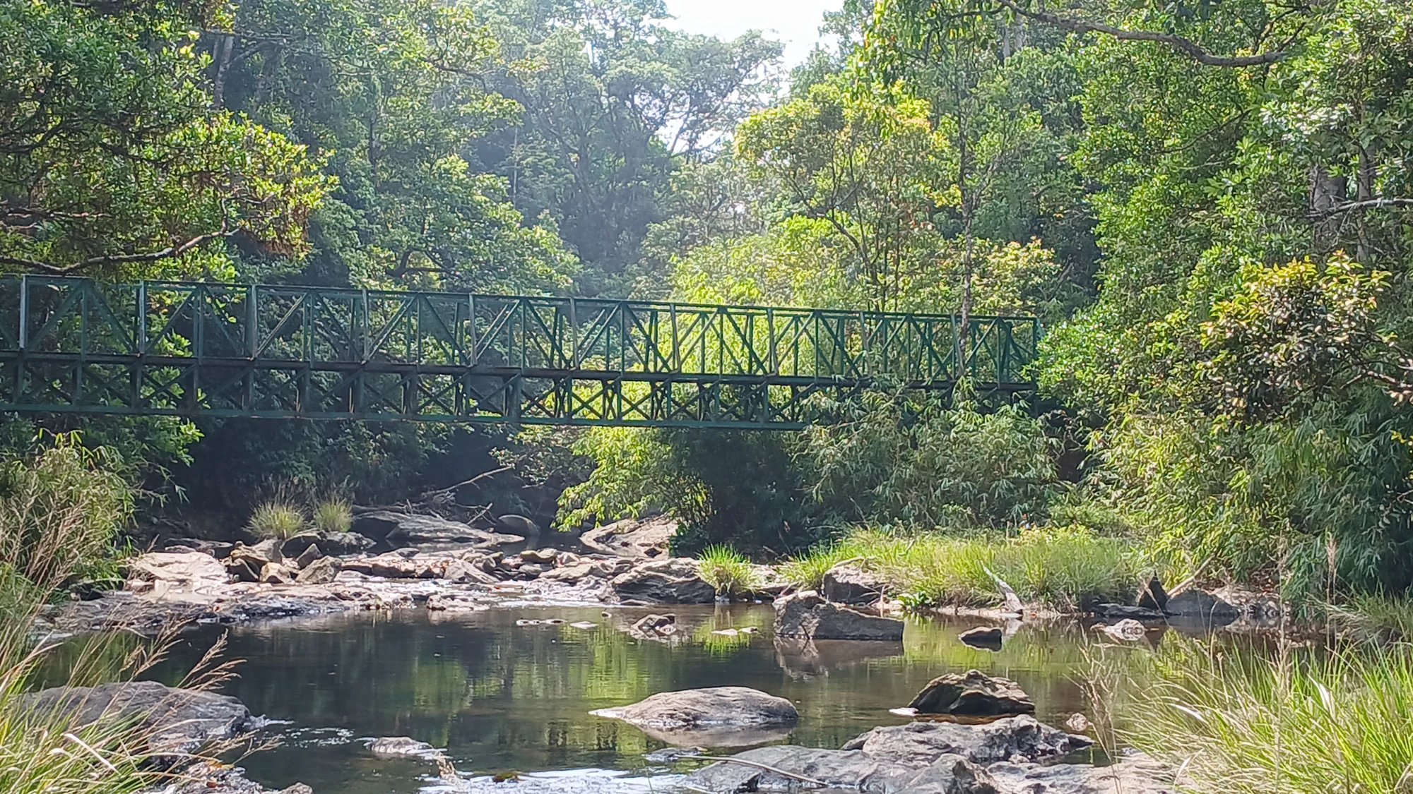
The surface is the part nobody mentions. One Malayalam account calls it barely a kilometre’s walk from the dam site; an English one is more specific — a well paved road till the falls except the last few metres, which are quite difficult to walk. That is an accurate description and it reframes the whole outing. This is not single-track jungle. It is a made-up forest road with a short, awkward scramble at the end.
And it descends. The top of the dam is at 759.55 metres; the falls are below it. Every piece of copy that calls this a climb has it backwards. The consequence is practical rather than semantic: the easy half comes first and the uphill half comes when you are tired and, if you have timed it badly, when the light is going.
There is a second path, unpaved, running into the forest east of the dam — leaf litter underfoot, closed canopy overhead, ferns standing along the cut bank. It photographs exactly the way people imagine the trek. It is not the route to the falls.
What ural and kuzhi mean
The name is a description, and once you know it you cannot stop seeing it. Ural is the heavy stone mortar used in Kerala kitchens for husking and pounding grain. Kuzhi is a cavity or hollow. Urakkuzhi is the mortar-hole, and it is named for what the Kuttiyadi has ground into the bedrock: a bank of round, deep, smooth-walled potholes drilled into the rock face by stones spun in the current for a very long time. Some are wide enough and deep enough to seat a person.
This is the thing actually worth an hour here. It is a working demonstration of fluvial erosion at a scale you can put your hand into, on rock you are standing on, in a gorge that hazes out into forest below you. Kerala has taller waterfalls and more photogenic ones. It does not have many places where the geology is this legible from a standing position.
The view is down, not up
Here is the line that ought to be printed on the ticket and never is: from the permitted route, you can see only the top part of the waterfall. The path delivers you onto the bedrock at the head. You look down into the drop. There is no path to the base, no pool at the bottom to swim in, and no vantage from which the fall reads as a single sheet of white water.
The photographs bear this out with unusual consistency. Every free-licensed image of Urakkuzhi in the Kakkayam category is shot from above — the scoured rock, the mortar cavities, a thread of water dropping away to the left, and in one portrait frame a great overhanging rock nose with the gorge falling past it to a stream far below and a bare ridge opposite. Not one of them is the postcard.
If you go expecting the postcard you will feel cheated in about ninety seconds. If you go expecting a gorge, a set of geological mortars and a long view down the Kuttiyadi valley, you will stay an hour.
The warning
Forest staff prohibit bathing at Urakkuzhi, and they do not argue it in regulatory terms. Their standing line, quoted directly, is that if anybody accidentally falls from there, no search operation will be carried out to recover the body. We looked for a written government order and could not find one, so we will not tell you bathing is banned by law. We will tell you that the physical case is unanswerable: you are on wet, polished rock at the lip of a drop into a gorge with no access from below.
The Malayalam vernacular for the spot, in the videos people post from it, amounts to the place you do not even get the body back from. That is a folk assessment rather than a statistic, but it is the assessment of people who live there.
If what you actually want is water you can get into, that place exists and it is 27 kilometres back down the road at Kariyathumpara — roadside springs and rock pools, no permit, no sanctuary, no drop. Plan it as a separate stop on the drive rather than as an extension of the trek.
When to come, honestly
The sources split, and the split is the useful part. Monsoon writing about Kakkayam is monsoon writing for a reason — June to September is when the water is worth the walk, and the best Malayalam travelogue about the place is a wet-season piece from start to finish. Guides oriented to safety say November to March, because that is when the rock has grip and the leeches are bearable.
Both are correct, which is the honest answer: the falls are best exactly when standing near them is worst. The Forest Department’s own condition — that the programme runs subject to climate and weather — is the rule that actually governs, and no published source gives fixed opening and closing dates for the season. Do not trust a calendar you find online, including ours; ring ahead.
Two practical carries, whatever the month. Salt or a lemon for leeches, and the discipline to make the leech release rather than pulling it off — pulling leaves the mouthparts in the wound. And shoes with actual grip, because the entire difficulty of this walk is compressed into its last few metres.
Frequently asked questions
How long does the walk take?
Allow around two hours for the round trip with time at the falls, though the walking itself is about one to one and a half kilometres each way. Remember the return leg is the uphill one.
Can I see the waterfall from the bottom?
Not from the permitted route. The trail ends at the head of the falls and you look down into the drop. There is no sanctioned path to the base.
Is it suitable for children or older walkers?
The track itself is easy and largely made up, so most of it is. The final scramble onto wet bedrock at the lip of the falls is the exception, and it is exposed. Judge that section on the day rather than in advance (indicative — confirm locally).
Do I need a guide?
The programme is run as a guided Forest Department eco-tourism activity through the local Vana Samrakshana Samithies, so a guide is part of what the ticket buys rather than an optional extra.
