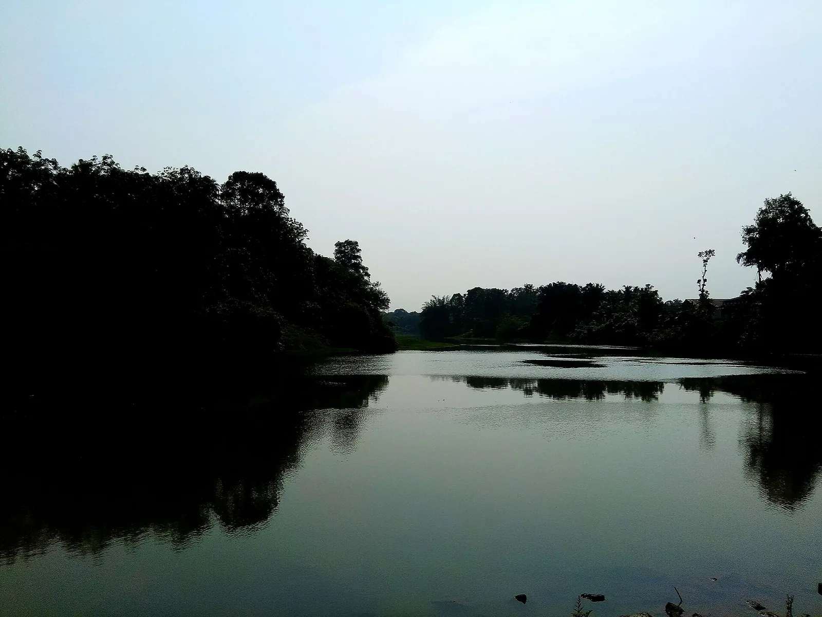
Most rivers have a source you can stand at. The Kallada does not, and the reason is worth the whole story.
Formed, not risen
The Central Water Commission’s own description is unusually precise, and it is one sentence: the river is formed by the three rivers, the Kulathupuzha, the Chendurni and the Kalthuruthy, joining together near Parappar. Its ultimate origin is in the Papanasam range south of Kulathupuzha, at about 900 m above sea level.
So the Kallada as a named river does not begin at a spring in the hills. It begins at a meeting point — the spot where three separate Western Ghats streams become one river and take a new name.
And the dam is on it
The Kerala Irrigation Department describes the Parappar dam as standing across the Kallada river at Parappar near Thenmala.
Parappar. The same place. The dam was built at the confluence, which means the reservoir now covers the point at which the river is formed, and drowns the meeting of all three of its headstreams.
The Kallada is 121 kilometres long and its first metre is underwater. That is a genuinely unusual thing to be able to say about a river, and we have not found a single page that says it.
The name you already know
One of the three headstreams closes a circle across this district. The Chendurni — Chenthurunipuzha — is the river that gives Shendurney Wildlife Sanctuary its name. The sanctuary is that headstream’s catchment.
Which means three of Kollam’s attractions, usually sold as three unrelated days out, are three parts of one drainage: the sanctuary is the catchment of one headstream, the reservoir sits on the confluence of all three, and the islands 121 km downstream are made of the sediment the whole system used to carry. Nothing in this district makes sense on its own.
What the dam is
The Parappar dam is the headworks of the Kallada Irrigation Project, which the Irrigation Department calls the largest irrigation project in the State of Kerala. It was commissioned in 1986.
It is a straight gravity masonry dam — which means it holds the river by sheer mass rather than by transferring load into the valley walls — 335 m long and 85.35 m high from deepest foundation, in twelve blocks, with three gated ogee spillway bays, plus a 225.7 m earthen dam and a saddle dam. Its canals run to 56.0 km on the left bank main, 69.8 km on the right bank main, 61.7 km and 47.6 km on the two branches.
That is a great deal of infrastructure standing on a birthplace.
Meeting the river instead
Since the source is not available to stand at, the alternatives are better than they sound, and they are genuinely different rivers.
At Punalur the Kallada is a working town river with a Victorian suspension bridge over it, begun in 1871 and finished in 1877. At Kakod, on the road between Punalur and Anchal, it breaks into real rapids over bare rock — white water, which nobody expects of a Kerala river and which our own page used to imply did not exist here. At Puthoor it is a quiet mid-river reach. At West Kallada it is broad and slow through paddy, and there is nothing to do but look at it. At Munroe it has stopped looking like a river at all.
And along the 121 km between the reservoir and the estuary there is no visitor infrastructure of any kind — no promenade, no jetty, no ticket. For a Kerala waterway, where the backwaters have been comprehensively commercialised, that is the rarest thing about it.
Frequently asked questions
Where does the Kallada begin?
As a named river, at the confluence of three headstreams — the Kulathupuzha, the Chendurni and the Kalthuruthy — near Parappar. Its ultimate origin is the Papanasam range south of Kulathupuzha at about 900 m. The Parappar dam stands on that confluence, so the meeting point is now under the reservoir.
What is the connection to Shendurney Wildlife Sanctuary?
The Chendurni or Chenthurunipuzha, one of the three headstreams, is what the sanctuary is named after; the sanctuary is that headstream’s catchment.
What kind of dam is Parappar?
A straight gravity masonry dam — it holds the river by mass rather than by transferring load into the valley walls — 335 m long, 85.35 m high from deepest foundation, in twelve blocks with three gated ogee spillway bays, plus a 225.7 m earthen dam and a saddle dam. It was commissioned in 1986 as the headworks of the Kallada Irrigation Project.
Are there rapids on the Kallada?
Yes, at Kakod between Punalur and Anchal, where the river breaks into white water over bare rock. Most descriptions of the Kallada, ours included, have implied it is placid along its whole course. It is not.