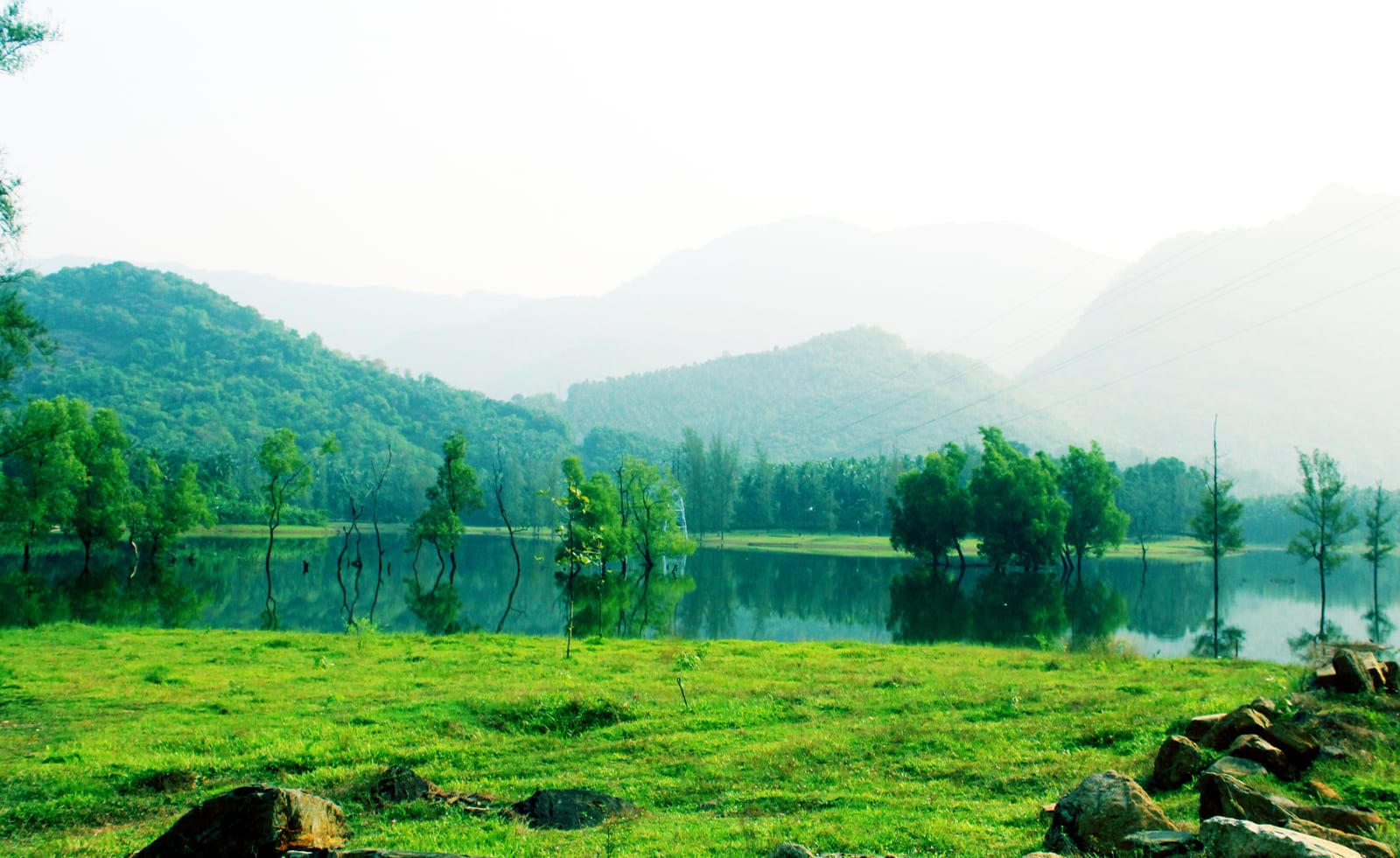
Almost everything written about Kariyathumpara describes a hill. It is called the Ooty of Malabar. It is listed among trekking destinations. Our own planning note, until this year, called it a bare rock shelf viewpoint with a long drop and no railings. Every word of that belongs to somewhere else.
Kariyathumpara is at fifty-seven metres above sea level. It sits in a hollow, with the ground rising to seventy-five and eighty-seven metres all around it. There is no summit, no climb and nothing to fall off. You drive the Estate Mukku–Kakkayam road, you park, and you walk onto a rock.
And this is the part that matters: the absence of a cliff is the reason people underestimate the place. Visitors file “no cliff” as “no risk”. At Kariyathumpara that is precisely backwards.
The sentence
On Sunday 21 February 2022 the Malayalam daily Madhyamam reported the reopening of the tourism centre here. The report noted that the dangerous rock passage had been placed under strict restriction, and it stated that eleven people had drowned there.
That is a cumulative figure from a mainstream Malayalam newspaper, undated as to the period it covers, and no official tally has ever been published against it. We attribute it exactly that way, and never as a current or official number. It is still the single most important sentence anybody has written about this place, and no English-language listing we could find repeats it.
The same article carries the detail that settles the argument about how seriously to take it. The centre had been closed for roughly four months on security grounds, and it reopened staffed by six people: one security guard, three cleaning staff, and a lifeguard.
A picnic spot that pays for a lifeguard is a picnic spot that knows what its river does.
What is actually under the water
Para is Malayalam for rock, and the rock is the site. The Kuttiyadi comes off the last of the Kakkayam gradient and spreads across a wide sheet of exposed bedrock before the current dies into still water. A trekking blog that walked it in December 2015 gave the best description anyone has managed: the river has, it said, a dozen little wells in its rocky belly.
Those are scour potholes — hollows ground into rock by pebbles caught spinning in eddies. They are what the tourism copy calls naturally formed water pools, and the difference between those two descriptions is the whole problem. A pothole gives no depth cue from above: no rim, no gradient, only a change in the colour of the water. Wet bedrock is slippery, and there are no railings on the rock.
There is a second mechanism, and we state it as an inference because that is what it is. The Kuttiyadi hydroelectric powerhouse stands 1.45 kilometres upstream of this rock, at seventy-eight metres, at the bottom of a head drop from a dam at 739. On the mapped hydrology, the flow crossing Kariyathumpara is partly a regulated, engineered flow rather than a purely rain-fed one. The practical version for anyone standing on the bank is simple: the level in a reach below a hydro tailrace can change for reasons that have nothing to do with the weather you can see.
It keeps happening
On Sunday 25 August 2024 a twenty-year-old second-year medical student drowned here. He was one of an eight-member group who had come on after a wedding at Ulliyeri, and local residents recovered the body from the stretch called Pappanchadikayam. His name was published. We do not print it.
A separate double drowning in the Kuttiady river was reported five weeks later, on 29 September 2024. We deliberately do not attach it to this page: no spot, panchayat or landmark was given in the reporting, and the Kuttiady covers a long catchment. It may have happened here. It may not have. That is not a good enough basis to put two deaths on a page.
What the site does about it
More than the brochures suggest, and less than the residents want. Manorama’s district edition reported on 8 July 2024 that the centre had reopened after a closure begun on 24 June on a heavy-rainfall warning, with the District Collector authorising the reopening; that entry to the rock-passage areas remained restricted wherever the flow was excessive; and that local guides had been engaged for visitor safety.
Read together with the 2022 reopening, that is a legible operating model: seasonal closure on rain warnings, dynamic restriction of the rock by flow, guides on the ground, and a lifeguard on the roster. For a panchayat-level tourism centre that is a serious answer.
And then, in November 2025, Onmanorama ran a report on the same site being neglected into a safety hazard. Overgrown vegetation and thick weeds. Bushes harbouring reptiles. A child visiting with tourists hospitalised after a snakebite. And no shelter of any kind, against either rain or sun. Residents were quoted objecting that substantial ticket revenue is collected here and none of it spent on upkeep.
The explanation is structural rather than lazy, and it is in the same report. The land belongs to the Irrigation Department, because the water is the Kuttiadi Irrigation Project’s reservoir margin. The visitors belong to tourism. When a site’s owner and its operator are different arms of government, the grass is nobody’s job.
So what should you do
Go. It is a beautiful, cheap, genuinely local place and it deserves visitors. But go knowing what it is: a lowland river-rock at the head of a reservoir, not a highland viewpoint; a site whose danger is entirely horizontal; and a place where the thing that will hurt you is the thing that looks least like it.
Frequently asked questions
How many people have drowned at Kariyathumpara?
Madhyamam, reporting the centre’s reopening on 21 February 2022, put the number who had drowned at the rock passage at eleven. That is a Malayalam daily’s cumulative figure with no stated period, not an official tally, and we never present it as current or official. A 20-year-old drowned here separately on 25 August 2024.
Is there a cliff or a drop at Kariyathumpara?
No. The site is at 57 metres, in a hollow, with the ground rising to 75–87 metres around it. The rock shelf with a long drop that circulates in travel copy is Vayalada, 4.7 km south-west at 582 metres.
Is there a lifeguard?
Yes. The six-person staff the centre reopened with in February 2022 comprised a security guard, three cleaning staff and a lifeguard. Local guides were additionally engaged in July 2024.
Does the site close?
Yes, on heavy-rainfall warnings. It was shut on 24 June 2024 and reopened in July on the District Collector’s authorisation, and had been closed about four months before the February 2022 reopening. The rock passage itself is closed outright when the flow is high.
Are there hazards other than the water?
Snakes and exposure. Onmanorama reported in November 2025 that thick weed cover was harbouring reptiles, that a child visiting with tourists was hospitalised after a snakebite, and that there is no shelter anywhere on the site.