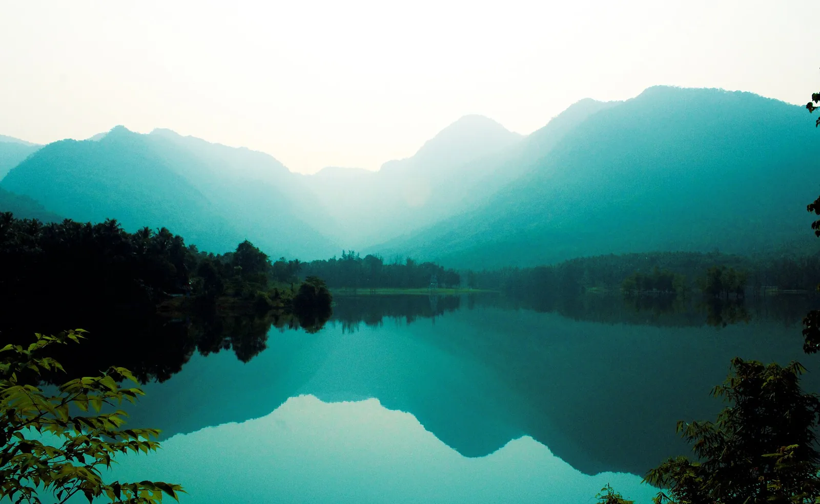
Read enough descriptions of Kariyathumpara and you start to suspect that people are describing different places. Trees standing half-submerged in water. Small islands. A placid river. A pebbled river. Boulders in a stream. Springs and rock pools. A beach. These do not obviously belong together, and several of them do not sound like a river at all.
They are all correct, and one fact makes them cohere. Kariyathumpara sits at the head of the Peruvannamuzhi backwater.
The dam above
Start upstream. Kakkayam Dam impounds the Kuttiyadi at 739 metres, 3.45 kilometres from here in a straight line, as the storage reservoir of the Kuttiyadi Hydro Electric Project. The scheme’s powerhouse sits at seventy-eight metres — and only 1.45 kilometres from this rock, with roads mapped up to it named, quite literally, for the power plant.
The gap between 739 and 78 is the point of the scheme. That is the head the turbines work against. And what leaves the tailrace goes back into the Kuttiyadi, and the Kuttiyadi runs across Kariyathumpara. The overhead transmission lines that cross the sky in photographs of this site are not an intrusion into the landscape. They are the landscape.
The dam below
Now go the other way. Peruvannamuzhi Dam holds the same river downstream, with its base at forty-eight metres and its surface at about sixty-three. Its reservoir polygon reaches east far enough to touch this site.
So the water at Kariyathumpara is not really a river any more by the time you are standing beside it. It is the top end of a reservoir that flooded a wooded valley — which is exactly why there are trees standing to their waists in flat water, and why there are islands, and why a river that has just come off a mountain gradient looks like a lake. Half-drowned trees in still water are the signature of an impoundment. Nothing else looks like that.
And the pebbled river, the boulders and the rock pools are the last few hundred metres before the current dies. The Kerala Government’s own news service puts it in seven words, better than any brochure: boulders in a stream, pine trees, and majestic hills.
The document that proves it
You do not have to take the geography on trust, because the administrative arrangement gives it away. The Kerala Government’s information notice for the tourism committee here lists its officers: the MLA as chair, the District Collector as co-convener, the President of Koorachund Grama Panchayat as a member — and, as joint co-convener, the Executive Engineer of the Kuttiyadi Irrigation Project.
An irrigation engineer co-convenes a tourism committee because the beach is the irrigation project’s reservoir margin. Onmanorama confirmed the same thing from the other end in November 2025: the Irrigation Department owns the land outright.
Why there is no forest permit
This is the practical payoff, and it resolves a question visitors ask constantly. Kakkayam is a permit regime: forest land, a checkpost, tickets from two agencies, guided treks. People assume Kariyathumpara is inside it.
It is not. The Kakkayam Dam permit and ticket point stands 1.6 kilometres north and about sixty-three metres higher. Kariyathumpara is below it and outside the forest-entry regime that governs Kakkayam and Urakkuzhi.
What replaced it is an irrigation-land tourism centre with a thirty-rupee ticket. So the old claim on our own pages that there is no permit here was right. The claim that there is no ticket counter was wrong.
And the inference to draw carefully
One thing follows from the hydrology that nobody has published as a warning, so we give it as what it is: an inference from mapped infrastructure rather than an official statement. If a powerhouse discharges 1.45 kilometres upstream of the rock you are standing on, then the level and speed of the water crossing that rock are partly an operational matter and not purely a meteorological one.
That is not a reason to be frightened of the place. It is a reason not to read a still, sunlit, shallow-looking sheet of water as a fixed condition. The river here has a schedule as well as a season.
Frequently asked questions
Is Kariyathumpara on a river or a reservoir?
Both, and the transition is the site. The Kuttiyadi runs across a bedrock shelf here and then slackens into the head of the Peruvannamuzhi reservoir, whose water body reaches east as far as the site itself.
Why are there half-submerged trees in the water?
Because it is an impoundment. Peruvannamuzhi Dam flooded a wooded valley; the trees standing in flat water and the small islands are what that leaves behind.
Who owns and runs the site?
The land is the Irrigation Department’s. It is run by the Kariyathumpara–Thonikkadavu Tourism Management Committee — chaired by the MLA, with the District Collector as co-convener, the Executive Engineer of the Kuttiyadi Irrigation Project as joint co-convener and the President of Koorachund Grama Panchayat on it.
Do I need a Kakkayam forest permit to visit?
No. The Kakkayam ticket point is 1.6 km north at 63 m and this site lies below and outside it. You need a ₹30 tourism ticket, which is a different thing and also covers Thonikkadavu.
How far is the hydro powerhouse?
About 1.45 km upstream, at 78 metres. Kakkayam Dam, the scheme’s storage reservoir, is 3.45 km away in a straight line at 739 metres — 16.6 km by road.