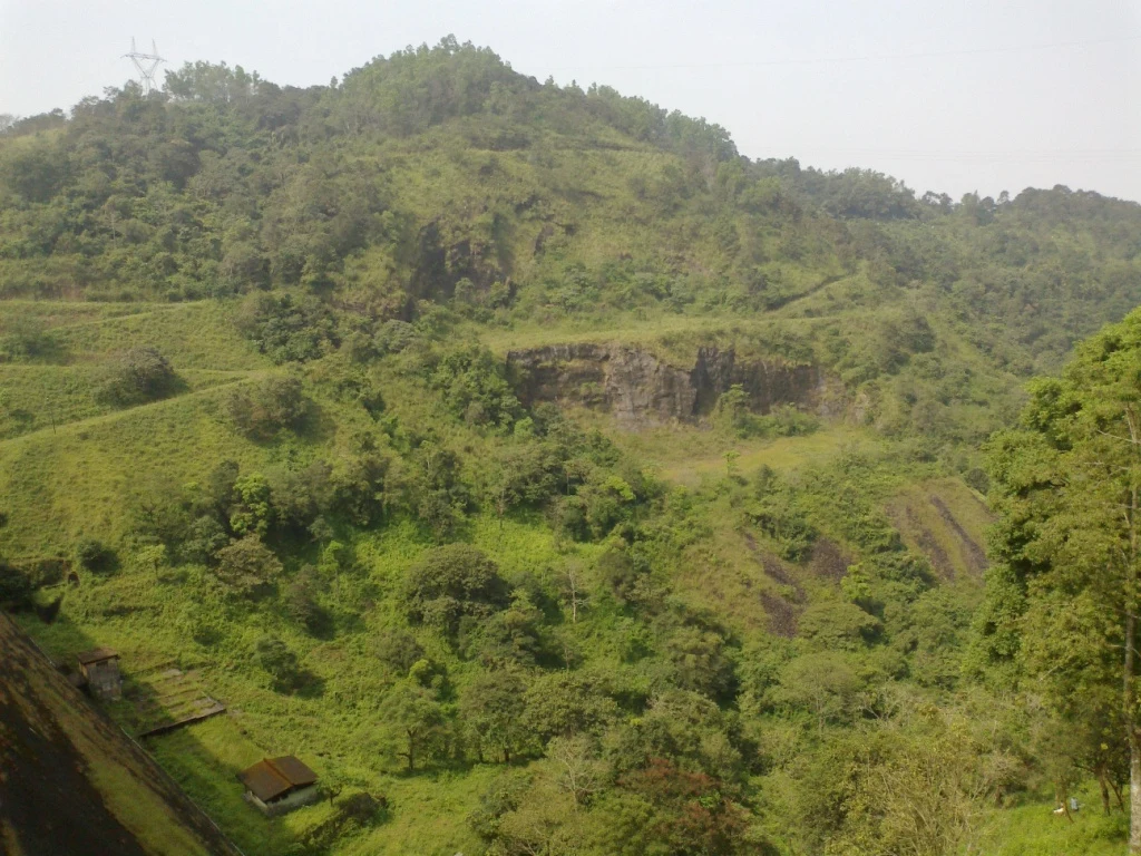
Kulamavu is one of three dams that make the Idukki reservoir possible. It is not a smaller version of the famous arch between Kuravan and Kurathi hills. Its own substantial gravity structure closes another part of the reservoir boundary, and the electricity associated with that stored water is generated away from the dam, at Moolamattom.
Three dams, different forms
KSEB’s Periyar-basin account identifies Idukki as an arch dam, Cheruthoni as a concrete gravity dam and Kulamavu as a gravity dam with concrete in its upper portion and masonry below. The three structures serve one storage arrangement while responding to different sites. A reservoir landscape can therefore be shared even when the dams have different forms and names.
The distinction is visible in photographs. Kulamavu presents a substantial wall with a broad sloping downstream face. The celebrated narrow arch is elsewhere. Calling every view of the Idukki reservoir “Idukki Arch Dam” loses the particular engineering of the structure a visitor has actually reached.
The local stream and the larger basin
Kerala Hydel Tourism identifies Kulamavu Dam with Kilivillithode, a tributary of the Periyar. That local watercourse name and the wider Periyar-basin description are compatible. One locates the dam more precisely; the other explains the drainage system to which it belongs. The reservoir also connects landscapes that would otherwise be read as separate valleys and slopes.
KSEB gives Kulamavu’s height as 100 metres and its length as 385.06 metres. These are structural dimensions, not a measure of what can be seen from a roadside lookout. Water level, surrounding slopes and the viewing angle can conceal much of a dam’s true scale. A modest-looking reservoir edge may be part of a much larger engineered system.
Storage is not the powerhouse
Water from the reservoir is conveyed through the project’s tunnel and pressure-shaft system to the underground powerhouse at Moolamattom. KSEB describes six generating units of 130 MW each. The important geographical point is the separation: the dam retains water at height, while the machinery that converts the available hydraulic energy into electricity lies elsewhere.
That separation also explains why a visitor at Kulamavu should not expect to see turbines immediately below the dam or walk from a reservoir viewpoint into a generating hall. A hydel project is a network of structures with different purposes and access controls. The part visible from a public approach is only one part of that network.
A project built in stages
KSEB records the Idukki project’s dedication in February 1976 and describes the generating units arriving in stages, with the first three in 1976 and the later units in 1985–86. These are project and generating-stage dates. They should not be treated as a single construction date for every wall, tunnel, access road and tourism facility associated with the system.
The basin account also records Canadian assistance and the engineering role of Surveyer, Nenniger and Chênevert. Those details place the project in a larger technical history, but the physical lesson remains close at hand: the reservoir, retaining structures and distant powerhouse were designed to function together.
The water’s journey continues
After generation, the tailrace water enters the Thodupuzha system. KSEB describes further use at Malankara for power and irrigation. Electricity generation at Moolamattom is therefore not the end of the water’s downstream story. Kulamavu’s role can be understood as one link between upland storage and several later uses.
For a visit, this is enough engineering context to make the view legible. Identify the dam correctly, distinguish the reservoir from the powerhouse, and leave operational roads and equipment to the authority managing them. Seeing the landscape well does not require access to restricted infrastructure.
Sources and further reading
KSEB: Periyar basin and Idukki project