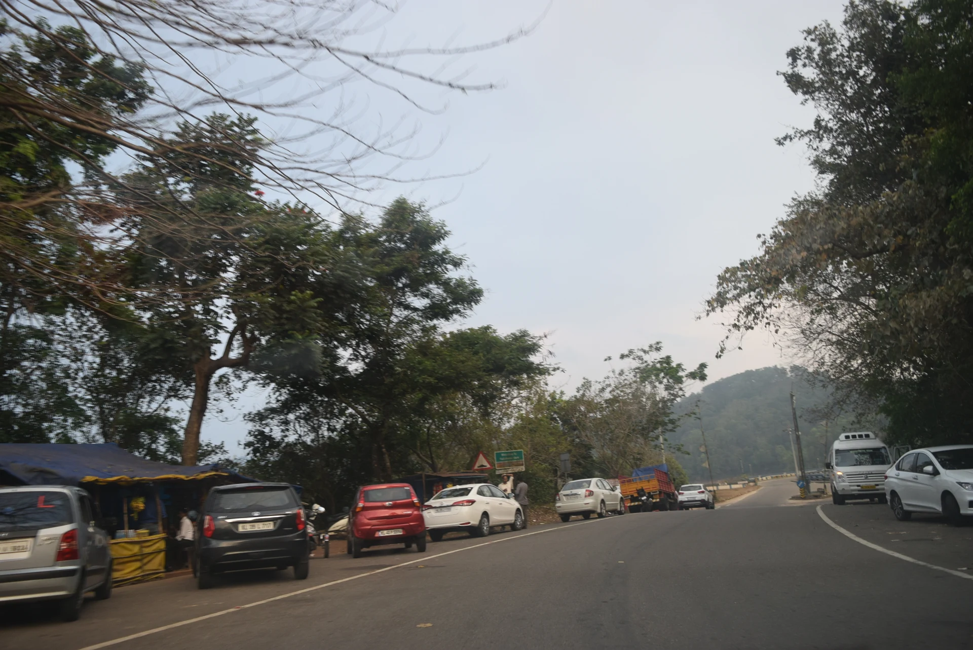
Kulamavu is encountered along the Thodupuzha–Puliyanmala road through the high ranges. Water, wooded slopes and a dam structure sit close enough to the road to make stopping seem obvious. The operator’s current instructions change that assumption: Kerala Hydel Tourism says vehicles cannot be parked near the dam and photography is not allowed at the dam.
Plan the stop before reaching the structure
A road beside a reservoir has two simultaneous roles. It carries people through the high ranges and provides views that encourage visitors to linger. Those roles can conflict where a stopped vehicle reduces space for through traffic. The useful preparation is to decide on an authorised stopping arrangement before arriving at the dam edge, rather than treating a map pin as a parking instruction.
The place-page pin identifies the southwest road approach to Kulamavu Dam. It is a named arrival reference, not a certified car park or a promise that a vehicle may wait there. If the designated visitor arrangement is unavailable, continuing to a lawful stopping place is preferable to leaving a car at the structure while passengers walk away.
A tourism listing has a defined scope
Kerala Hydel Tourism publishes an entry pass and operating sessions for Kulamavu Hydel Tourism Center. That establishes a visitor offering, but does not make every KSEB road, gate or walkway part of it. The visitor area, the reservoir landscape and the operational dam are related spaces with different permissions.
At the centre, follow the route and limits given by staff. A visitor ticket does not permit entry to equipment areas or beyond a barrier simply because a path continues. Staff signs and directions define the public visitor area.
Old photographs describe an earlier moment
Archival photographs show vehicles and stalls along Kulamavu’s road. They are useful for understanding the road landscape and the history of visitor activity. They do not overturn the operator’s present parking restriction. A place can look familiar in an old image while its visitor arrangements have changed.
The same applies to photographs of the dam itself. Their publication is not a current invitation to take an identical frame. The operator’s prohibition on photography at the dam is explicit. Enjoy the permitted view directly, and keep a separate reservoir viewpoint subject to whatever rules apply at that location.
Keep the dam name attached to the route
Kulamavu, Cheruthoni and the Idukki arch are parts of the same hydel system, but they are not one roadside stop. A driver needs the exact destination. The route to a different dam or a general Idukki viewpoint may involve a substantial change in direction even when the reservoir water belongs to the same project.
Similarly, a resort advertising an Idukki-reservoir view is not necessarily beside Kulamavu’s public approach. Choose accommodation and onward travel by the actual address, rather than by the shared reservoir name. That avoids building a day around a proximity that exists in branding more than on the road.
A short visit can still be complete
The value of Kulamavu is not proportional to the number of barriers crossed. A permitted view can show how the road follows the stored-water landscape, how steep wooded slopes descend towards it and how the dam closes the valley. Knowing that Moolamattom’s generating machinery lies elsewhere adds meaning without requiring a separate infrastructure visit.
Leave time for the onward high-range drive and let the authorised stopping arrangement determine the length of the pause. Kulamavu works best as a deliberate stop with a clear departure, rather than a vehicle left beside the dam while the rest of the itinerary waits.