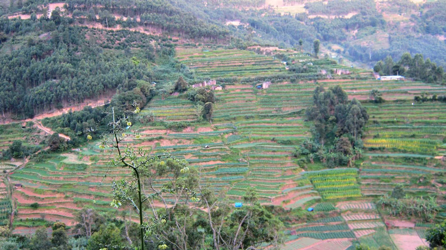
If you search for Kurinjimala Sanctuary in English, the sentence you will meet most often is that it “protects approximately 32 hectares of core habitat of the endangered Neelakurinji plant in Kottakamboor and Vattavada villages”. It is on English Wikipedia, and from there it has been copied on to travel sites, tour listings, aggregator pages and study notes.
Thirty-two hectares is 0.32 square kilometres. It is a farm. It is smaller than the terraced hillside in the photograph above this article.
What the department says
The Kerala Forest Department’s own brochure for the sanctuary prints the figure twice: the sanctuary spreads over Vattavada and Kottakamboor villages “having an extent of 32 Sq. Km”, and it “protects approximately 32 Sq. Km core habitat of the endangered Neelakurinji plant”. The sanctuary’s own Management Plan 2012–22 gives approximately 32 square kilometres. Every Malayalam source gives the same number — 32 ചതുരശ്ര കി.മി. The area is 32 square kilometres, or 3,200 hectares. The English error is a unit slip that nobody caught, repeated for years.
And what the map says
There is a third figure worth knowing. The sanctuary outline drawn on OpenStreetMap encloses about 24.8 square kilometres when measured. That is not a rival claim to the notified area: the map credits a georeferenced raster image rather than the legal notification, making it a useful approximate outline but not a survey boundary.
It was useful for one thing on this page, though. Roampedia’s previous coordinate for this place, 10.21 / 77.24, was a two-decimal guess, and tested against that boundary it falls outside the sanctuary altogether — about two and a half kilometres west of it — while still drawing a map and a list of nearby places off the wrong point. That is worse than having no coordinate at all, and it is now fixed.
Why it matters more than a typo
Because the size is the first fact anyone prints about a protected area, and getting it wrong by a factor of a hundred is a reliable indicator of everything else on the page. The same sources that say 32 hectares also say Kurinjimala is a hotspot for “trekking and rappelling”, which no government document supports, and give an opening season that nobody has published. On this sanctuary in particular, the aggregator layer of the internet is not merely thin. It is wrong on the first number it prints, and it is worth reading everything downstream of it accordingly.
- Notified area — 32 sq km (3,200 ha), per the Kerala Forest Department’s own brochure
- Notified — 6 October 2006, announced at the Neelakurinji Fest at Munnar on 7 October
- Villages — Kottakamboor and Vattavada, Devikulam taluk, Idukki district
- Measured — Kottakamboor is 45.8 km and about 1 h 25 from Munnar town by road
- Traced, not surveyed — the OpenStreetMap boundary measures about 24.8 sq km