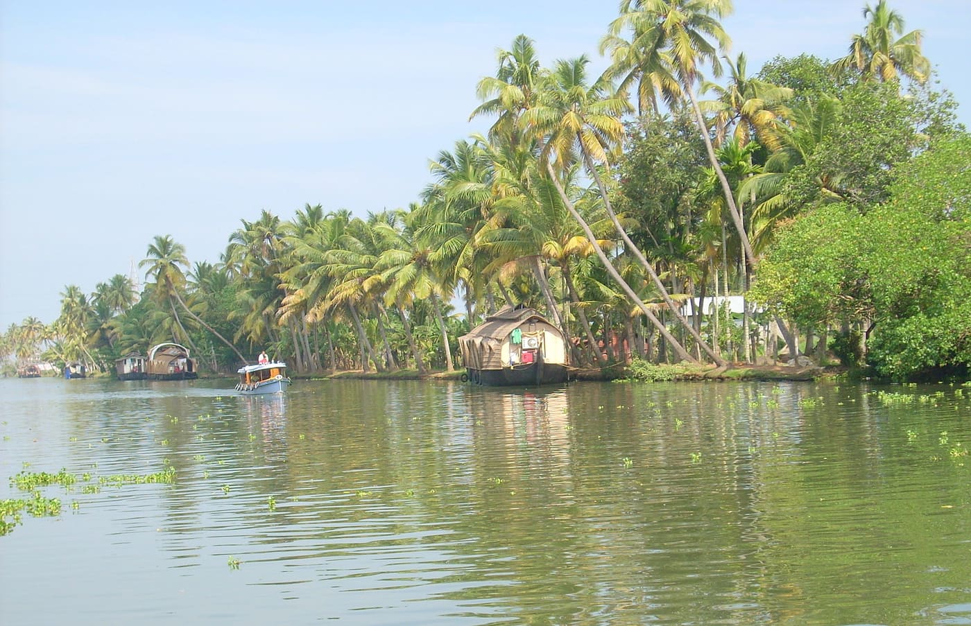
Spread across the deltas of the Pamba, Meenachil and Achankovil rivers where they meet Vembanad Lake, Kuttanad is the agricultural heart of the Alappuzha backwaters — and one of the very few regions in the world where farming is done below sea level. It is recognised as a Globally Important Agricultural Heritage System, and travelling through it is the real reason to come to Alleppey.
How below-sea-level farming works
Kuttanad’s paddy fields sit in polders — plots reclaimed from the backwaters and ringed by earthen bunds, with the water level in the surrounding canals often higher than the fields themselves. Farmers pump water out to plant and grow the rice, then let the fields flood again after harvest. The result is a patchwork of green paddy below the waterline, laced with canals that double as the region’s roads.
How to travel Kuttanad
The canals are the highways here. Public and tourist ferries link the villages cheaply, houseboats cruise the wider channels, and a country canoe or shikara reaches the narrow waterways the big boats can’t. Kainakary, Nedumudy and Champakulam are classic village stops. A slow half-day by canoe, watching daily life along the banks, tells you more about Kuttanad than any highlight list.
What to see
Champakulam, on the Pamba, is famous for the Champakulam Moolam snake-boat race — the oldest of the backwater races — and the historic Kalloorkad St Mary’s Basilica. Nearby Edathua draws large pilgrim crowds to its St George Forane Church, especially at the spring feast. Deep in the polders, the R-Block and Kainakary areas show the below-sea-level farming at its most dramatic.
- Kuttanad is reached from Alappuzha by road or, better, by ferry and houseboat through the backwaters.
- Public ferries are a cheap, local way to move between villages — check timings locally as they’re infrequent.
- October to March is the comfortable season; the monsoon greens the paddy but floods can affect low-lying areas.
- Village churches and temples are working places of worship — dress modestly and ask before photographing people.
- Kerala Tourism: Kuttanad farming system
- The farming-system description is the source for below-sea-level cultivation; field access and boat arrangements need local confirmation.
Frequently asked questions
Why is Kuttanad below sea level?
Its paddy fields sit in polders reclaimed from the backwaters and ringed by bunds, with the surrounding canal water often higher than the fields. Farmers pump water out to grow rice, then reflood the fields after harvest — one of the few below-sea-level farming systems in the world.
How do you get around Kuttanad?
By water. Public and tourist ferries link the villages cheaply, houseboats cruise the wider channels, and country canoes or shikaras reach the narrow canals. Kainakary, Nedumudy and Champakulam are the classic stops.
What is there to see in Kuttanad?
The paddy-and-canal landscape itself, plus Champakulam (snake-boat race and Kalloorkad basilica), Edathua Church, and the deep-polder villages of R-Block and Kainakary.