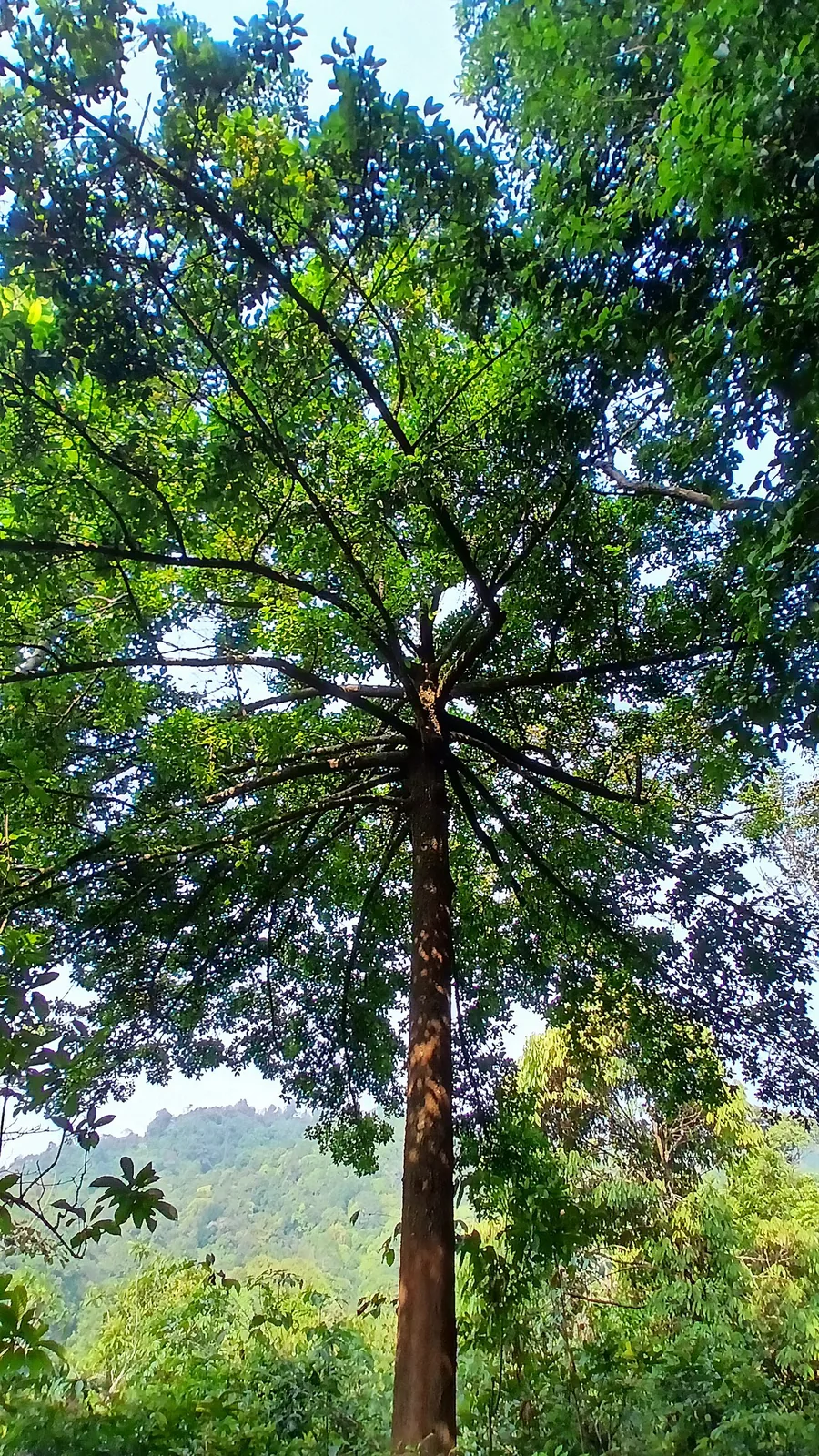
The argument for protecting this forest was never that it was big or pristine. It was that there was nothing else left. The 2009 proposal says it in so many words: this is the only evergreen patch left in Kozhikode district. And it names the agents of the fragmentation in the same document — hydroelectric development, plantations, human settlements.
Forty metres to fifteen hundred
The sanctuary lies on the north-western slopes of the Western Ghats and runs from about 40 metres above sea level to 1,506. That span of nearly one and a half kilometres of vertical relief inside seventy-four square kilometres is the ecological point: near-lowland forest climbs into hill-top evergreen and grassland over a very short horizontal distance, and six forest types are recorded across it — west-coast tropical evergreen, west-coast semi-evergreen, southern moist mixed deciduous, southern hill-top evergreen, grasslands and marshy grasslands.
Its own high point is Vannathimala at about 1,505 metres, which matches that ceiling almost exactly. It is contiguous with Kakkanmala at 1,456 and Kurichyarmala at 1,606. Beyond the boundary lie Banasuramala and Vellarimala — and those two are outside the sanctuary, not in it, whatever tourist copy says. The heights of 2,050 and 2,100 metres attached to them are themselves inflated.
Which brings up the number that does the most damage here. Kerala Tourism’s own ecotourism page states that Kakkayam is at an altitude of 2,500 metres above sea level. It is wrong by more than a factor of three — Kakkayam is at roughly 750 metres, the sanctuary’s ceiling is 1,506, and 2,500 metres would make this one of the highest inhabited places in South India rather than a village with a post office and a health centre. Because the error sits on a state government domain it has been copied into hundreds of listings and it keeps coming back.
Two reserves that already claimed it
Malabar sits inside the Nilgiri Biosphere Reserve, established in September 1986 as India’s first under UNESCO’s Man and the Biosphere programme — 5,520 square kilometres across Tamil Nadu, Karnataka and Kerala. The Kerala environmental information centre’s database records a Kozhikode division component of 387.60 square kilometres, explicitly including the Kuttyadi and vested forests. Kakkayam is in the Kuttiadi valley and the sanctuary is built substantially of vested forest, so the fit is exact rather than approximate.
It also lies within the Wayanad Elephant Reserve, one of four in Kerala notified on 2 April 2002 under Project Elephant, covering roughly 1,200 square kilometres. The Forest Department’s own elephant-reserves page describes it as comprising reserve forest and protected areas across the Wayanad, South Wayanad, North Wayanad, Kannur and Kozhikode divisions — Kozhikode named explicitly.
The chronology is worth printing on its own. The elephant reserve came first, in 2002. The sanctuary followed in 2009. Elephants were being managed as a landscape unit here seven years before the forest they move through got any status of its own.
One consequence: the sanctuary is in Kozhikode district, Koyilandy taluk, and not in Wayanad — a mistake that appears in print often enough to be worth correcting. The confusion is understandable, since the eastern boundary runs along the Wayanad district line and the elephant reserve is named for Wayanad. The forest is Kozhikode’s.
The dam is a tenant
The Kakkayam dam is a masonry straight-gravity structure across the Kuttiady, 39.6 metres high above its deepest foundation and 228.6 metres along the crest, impounding some 34 million tonnes of water off a 39-square-kilometre catchment. Penstocks carry that water through tunnels to the Kuttiyadi powerhouse, and the complex across its main, extension and additional-extension stages carries 225 megawatts.
The relationship between the dam and the forest is not adversarial in the simple way it looks. These forests are the catchment. Protecting them protects the water that turns the turbines. And the notification did not carve the reservoir out — it deliberately included the Kakkayam waterspread inside the sanctuary boundary. In the legal sense the dam is a tenant of the protected area, and the boat that carries visitors across the reservoir crosses sanctuary water.
You will read locally that this is Kerala’s only hydroelectric project inside a sanctuary. It is not: Idukki Wildlife Sanctuary contains the Idukki complex and Periyar Tiger Reserve the Mullaperiyar works. Drop the word only and the fact is still striking enough.
There is one detail we could not settle. The 2009 proposal names only the Kakkayam waterspread as included; the March 2010 reporting refers to the Kakkayam and Peruvannamoozhi reservoirs. Both accounts can be honest if the Peruvannamuzhi reservoir itself is outside while the Pannikottoor reserve forest of the Peruvannamuzhi range is inside — but that is our inference, not a sourced statement, and we would rather say so than pick one.
Frequently asked questions
How high does the sanctuary go?
From about 40 metres to 1,506. Its own high point is Vannathimala at roughly 1,505 m. Vellarimala and Banasuramala are outside the sanctuary and their commonly quoted heights are inflated.
Is Kakkayam at 2,500 metres?
No. Kerala Tourism’s ecotourism page says so and it is wrong by more than three times. Kakkayam is at about 750 metres — a figure independently supported by the 2021 description of the shrub frog named after it.
Which larger reserves include it?
The Nilgiri Biosphere Reserve, established 1986, and the Wayanad Elephant Reserve, notified 2 April 2002 — the elephant reserve seven years before the sanctuary itself.
Is the Kakkayam reservoir inside the sanctuary?
Yes. The notification deliberately included the Kakkayam reservoir’s waterspread rather than excluding it, so the boating crosses protected water. Whether the Peruvannamuzhi reservoir is also inside, sources disagree, and we have not resolved it.