Mangalavanam did not survive because anybody protected it. It survived because for a long time nobody wanted it.
How a wetland outlives a city
This stretch of the Ernakulam mainland was once part of the low, waterlogged backwater fringe — brackish, tidal, thick with mangrove. Then came a century of reclamation, port works and city-building, which filled and hardened the coastline around it and turned wetland into land you could sell.
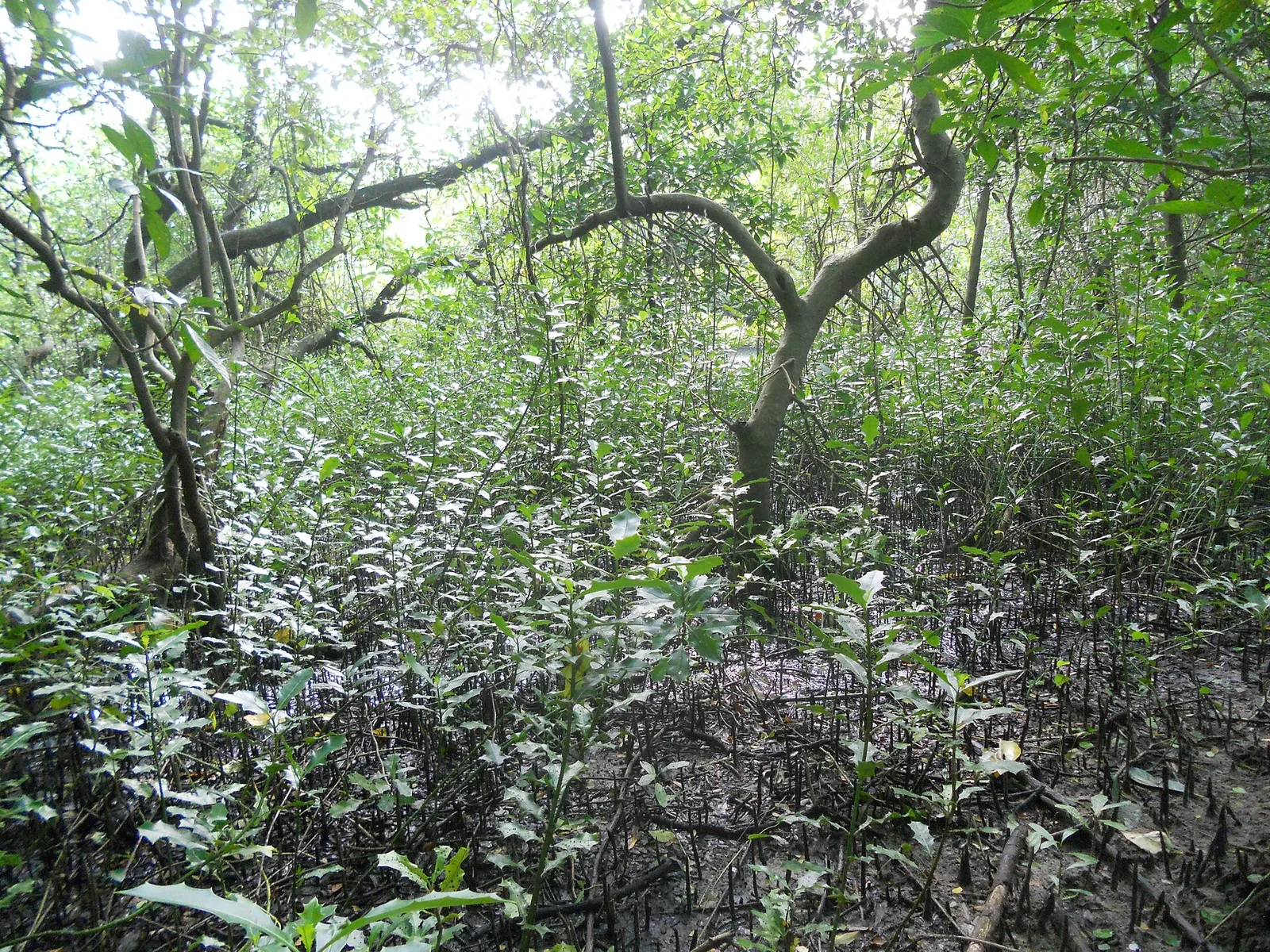
This particular patch escaped, largely by accident of geography and ownership. It ended up in government hands, hemmed in behind the buildings of the administrative and judicial quarter that now includes the Kerala High Court, and being awkward and official and out of sight, it was left alone long enough for the mangrove and the tidal pool to re-establish into a working miniature estuary.
Birders and conservationists eventually noticed what was living in it, and in 2004 it was notified as a bird sanctuary.
And then the towers arrived
Notification stopped the ground being taken. It did not stop what happened next, which is that central Kochi went vertical, and a wall of high-rise development rose along the sanctuary’s boundary.
The problem this creates is not obvious until you think about how a colony of waterbirds actually uses a site. Herons and egrets and cormorants do not simply sit in a patch of trees. They arrive and leave on established lines, at particular heights, often at dusk and dawn, and they orient by what they can see. Put buildings tall enough to close off those lines on three sides of a two-and-a-half-hectare wood and you have changed the site without touching a single tree in it.
That interference with orientation, take-off and landing is the specific complaint that campaigners, researchers and, at different times, the courts have pressed. It sits alongside the more ordinary pressures of encroachment at the edges and dumping.
- Encroachment on the boundary of an already tiny protected area.
- Dumping and degradation of the buffer around the mangrove.
- High-rise development along the boundary, interfering with birds’ orientation, take-off and landing.
- The buffer zone itself — how much undeveloped space a 2.74-hectare sanctuary needs around it to function.
- Access management, which is why you see it from a watchtower rather than walking through.
The honest caveat
Documented history of this site is thin, and a good deal of what circulates about it is ecological rather than archival. Precise claims about who owned what and when should be held lightly. What is not in doubt is the shape of the story: a scrap of original backwater forest outlasted the city that grew over the rest of it, got protected once somebody noticed, and has been arguing about its own airspace ever since.
Why a visitor should care
Because Mangalavanam is the clearest small example in Kerala of a thing that keeps happening at every scale: protection of the ground, no protection of the conditions. The trees are safe. The tidal connection is safe. The sky is not, and the sky turns out to be part of the habitat.
Stand at the watchtower early, watch the birds come in over the rooftops, and you can see the argument happening in front of you.
Frequently asked questions
Why is Mangalavanam under threat if it is protected?
Because notification protects the ground, not the conditions around it. High-rise development along the boundary interferes with the birds’ orientation, take-off and landing lines, and the site also faces encroachment at its edges and dumping. Campaigners, researchers and the courts have all pushed on the buffer at different times.
How did the sanctuary survive Kochi’s growth?
Largely by being forgotten. The surrounding backwater fringe was filled and hardened over a century of reclamation and port works, but this patch ended up in government hands behind the administrative and judicial quarter, awkward and out of sight, and the mangrove re-established itself while the city grew around it.
Why do tall buildings matter to birds?
Waterbird colonies use established flight lines at particular heights, often at dawn and dusk, and orient by what they can see. Buildings that close off those lines change how a site functions without anyone touching a tree inside it.
When was Mangalavanam notified?
In 2004, as a bird sanctuary under the Kerala Forest Department, after birders and conservationists drew attention to its role as a nesting and roosting ground and a stopover for migratory birds.
Is the site’s history well documented?
Not especially. Much of what circulates is ecological rather than archival, so specific claims about earlier ownership and use are best held lightly. The broad shape — a surviving scrap of backwater forest, protected late, under continuing pressure — is solid.
How should I visit?
Early, quietly, with binoculars, from the watchtower or the short guided edge path. Access is regulated by the Forest Department and visitor numbers and hours are deliberately kept modest.