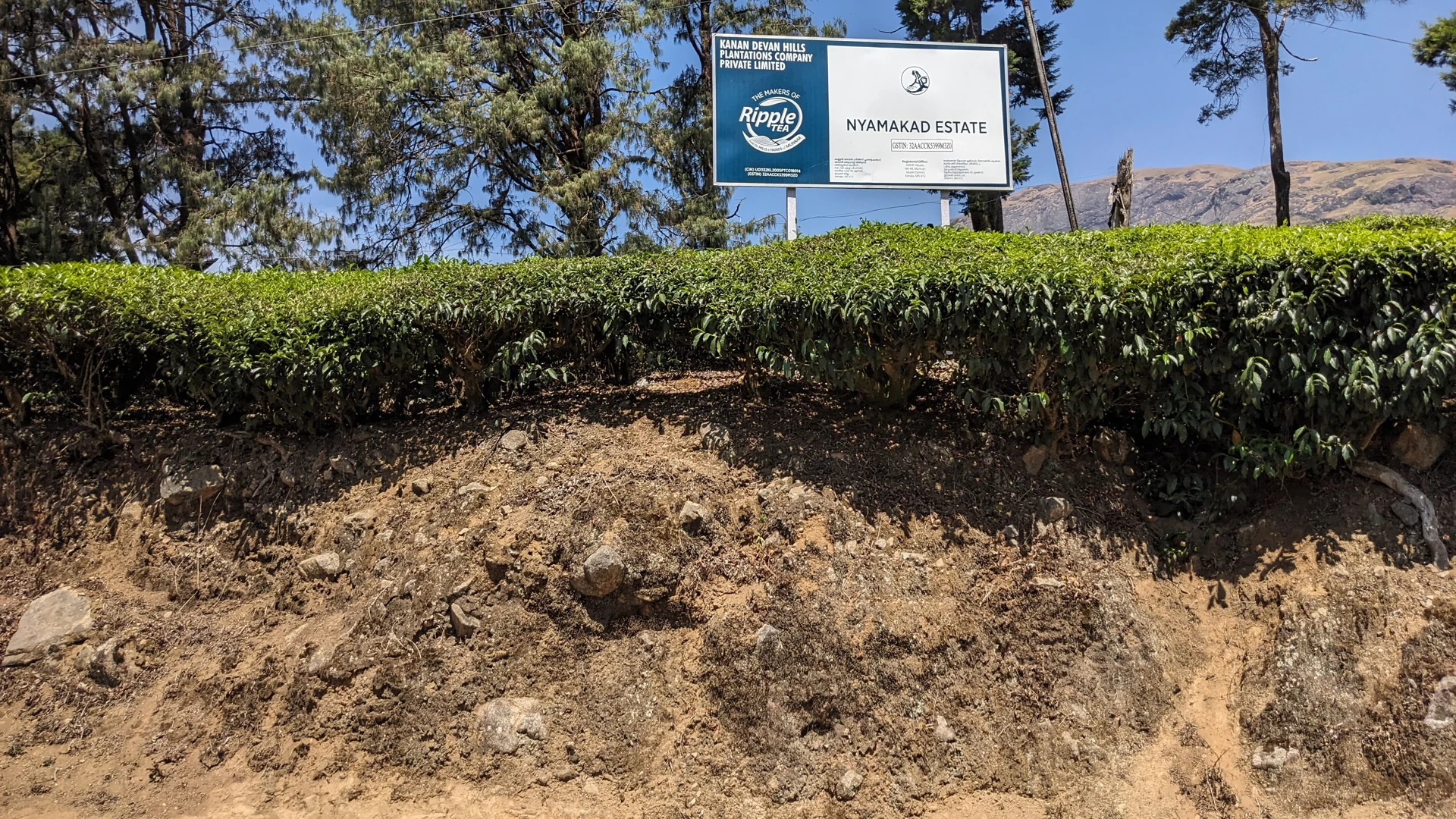
Nyayamakad appears under several spellings in visitor searches. Nayamakad is used in this page’s route, while the estate board in the photograph reads Nyamakad Estate. These variations point towards the same Munnar-side locality, but a name match alone does not identify a public path to a waterfall.
The sign belongs to a working estate
The photograph shows the Nyamakad Estate board above planted tea. It gives a concrete local reference in a landscape where many slopes can look similar. The KDHP name on the board links the frame to the estate setting rather than to an unnamed patch of Munnar greenery.
That reference is useful for orientation, but its role should remain precise. An estate sign identifies land and an organisation. It does not serve as a waterfall ticket, a public trail marker or permission to enter any road passing through the planting.
The distinction is reinforced by a separate geotagged stream photograph in which a Nyamakad Tea Estate private-property notice is visible beside the water. The stream and planted slopes can be observed in the same scene while access beyond the road remains a separate question.
Recognising the road-side locality
Kerala Tourism places Nyayamakad on the Munnar–Rajamala side of the high ranges. That is a more useful orientation than treating every waterfall mentioned near Munnar as interchangeable. Cheeyappara and Valara belong to a different road journey, while other cascades have their own locality and access arrangements.
When arranging a stop, give the driver the full waterfall name and the intended road-side viewing base. A message containing only waterfalls near Munnar is too broad to establish which direction the outing should take.
The main page’s map is labelled as the Nyamakad estate roadside stream-view base. It deliberately describes the place a visitor can orient towards, rather than claiming a verified route to the fall’s lip or pools. That wording is important when interpreting what the pin includes.
Read the name without overextending it
A photograph of the estate board is valuable because it connects the name with visible local evidence. A photograph of the stream explains the immediate landscape. Neither, by itself, establishes the full course or measured height of a cascade hidden beyond the frame.
For an ordinary visit, the useful activity is a safe view from the road-side setting where stopping is permitted. A longer walk into the estate requires its own permission and route confirmation. Keep those plans separate when deciding how much of the day to allocate.
The different spellings need not make Nyayamakad confusing. Use the locality, the estate name and the actual stopping point together, and allow each to answer the question it can genuinely resolve.
Plan the visit: Nayamakad Waterfalls.