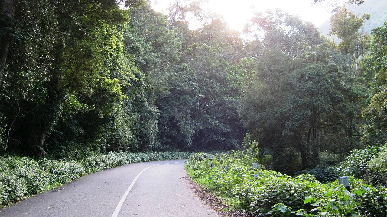
A paved road curves into the trees at Pampadum Shola. The surface is familiar: a centre line, roadside posts and a bend ahead. What changes is the setting. Dense forest presses close to the carriageway, and the road passes through a protected landscape rather than an ordinary open sightseeing park.
A through-road and a national park
The park’s management plan identifies the Munnar–Koviloor PWD road and describes Forest Department control over movement through the protected area. The road has a transport purpose, connecting settlements beyond the forest. That purpose is different from a visitor programme allowing people to leave the road and walk inside the park.
This distinction is easy to miss when travelling from Top Station towards Vattavada. A vehicle may pass a wooded stretch, and a track may appear to lead into it. Neither observation establishes independent trekking access. The relevant question is which route forest staff have opened for the particular visit.
An older sign photographed at the Vandaravu observation tower makes the rule explicit: unauthorised trekking is prohibited. Its spelling is less important than its message. A path on an outdoor map can describe where someone once moved, but it is not the authority that grants present entry.
Begin at the confirmed reporting point
The Top Station forest checkpost is a useful arrival reference. The management plan also describes a guided route connecting the checkpost and nature education centre. That description explains how interpretation can be organised within the forest, but the route and departure arrangement must still match the current programme offered to the visitor.
An overnight booking adds another named location. The Bison Log House units and other forest rooms are individual products, with their own arrival instructions. A room confirmation should not be replaced by a general park-centre pin merely because the latter appears prominently in a search result.
For a driver, share the same reporting point shown in the booking. For a walker, ask where the guided route begins and ends. These are complementary instructions: the vehicle needs a lawful arrival and pickup, while the visitor needs permission for the part of the forest being explored.
Read the roadside landscape carefully
The road photographs show both dense vegetation and areas containing cut stumps and felled branches. The park’s management plan discusses restoration of older wattle and eucalyptus plantations, but a photograph alone cannot identify the cause of every clearing or prove that restoration is complete. A guide can explain the specific patch encountered on the route.
That is one reason to slow the interpretation even when the vehicle must keep moving. A national park is managed land with a history, not a promise that every visible tree has the same origin. Native forest, older planted stands and recovering ground may sit close together.
Enjoy the permitted route as the visit it actually is. The road brings travellers into contact with the shola landscape, while the forest programme supplies the access and interpretation for going farther. Keeping those roles clear protects both the journey and the place being visited.
Plan the visit: Pambadum Shola National Park.