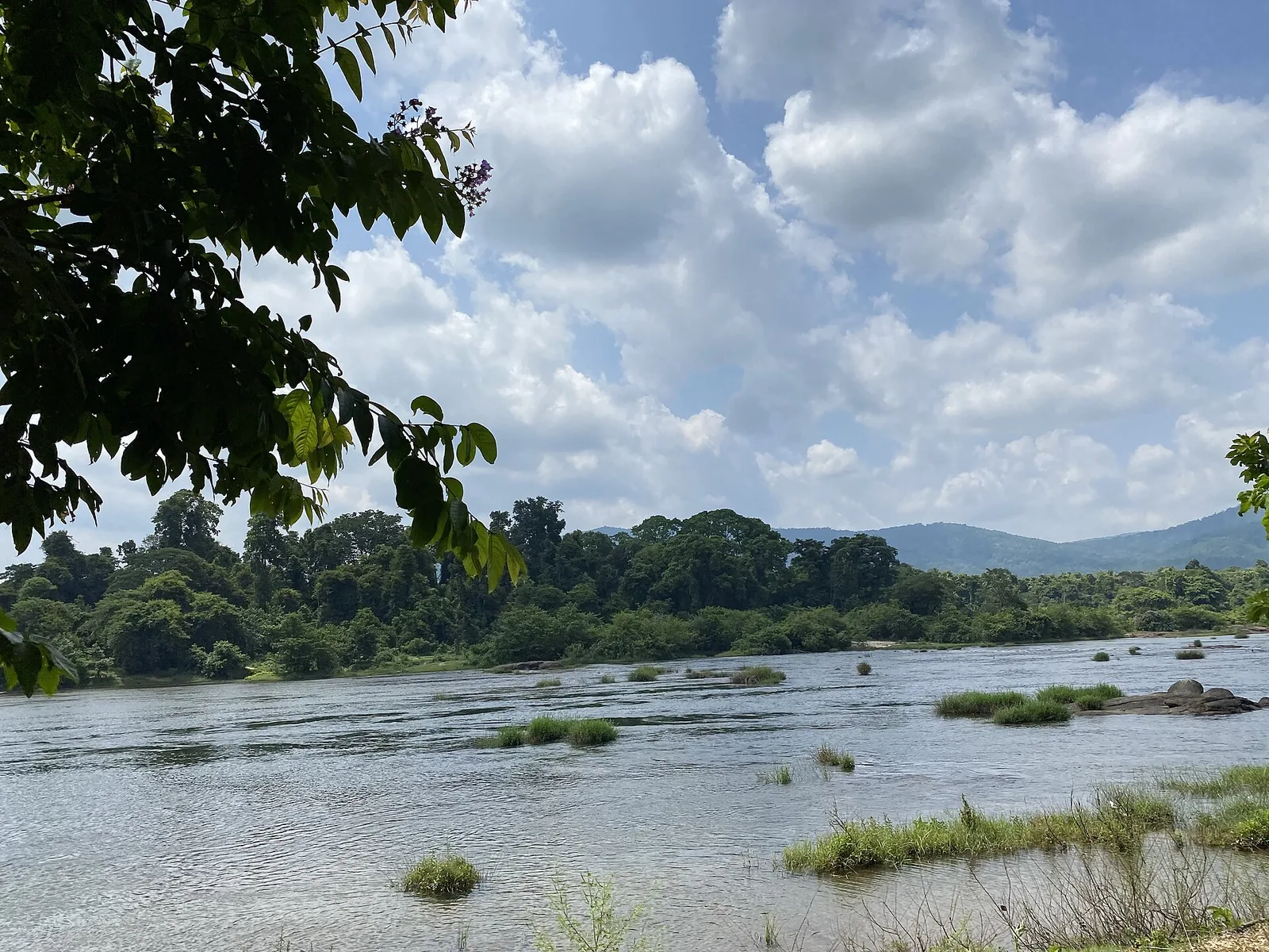
Stand at the top of the rock field at Paniyeli Poru and the river above you looks like a river doing what rivers do — wide, shallow, unhurried, breaking round grass islands before it gathers itself into the crevices. It is one of the most convincing pieces of wild-looking water within ninety minutes of Kochi.
It is also, by the time it reaches you, one of the most heavily managed stretches of river in Kerala. Almost everything about the volume crossing that rock has been decided somewhere else, by someone else, for reasons that have nothing to do with the view.
What happens to the Periyar before it gets here
The Periyar is Kerala’s longest river, and it is worked hard from its headwaters down. At Mullaperiyar a nineteenth-century dam sends part of it east through the Ghats into Tamil Nadu, out of the basin entirely. Below that the Idukki complex — Idukki, Cheruthoni, Kulamavu — holds it for hydro power. The Idamalayar dam does the same on the tributary that joins from the north-east.
Then, about fifteen kilometres above this rock field, comes the last and least famous of them: the barrage at Bhoothathankettu, completed in 1964, a shade over 210 metres across. It is not a hydro dam and it does not hold a great deal, but it sits exactly where every one of those upstream releases arrives, and its job is to catch them.
The Irrigation Department is precise about what it does with them. Water stored at the Bhoothathankettu barrage — the outflow of the hydel projects above, plus Idamalayar, plus the independent catchment below them — is diverted through a left-bank canal to irrigate 32,800 hectares of farmland across six taluks: Kothamangalam, Muvattupuzha, Kunnathunadu, Aluva, Paravoor and Kanayannoor. The same barrage supplies drinking and industrial water to greater Kochi, feeds lift-irrigation schemes, and is used to hold back the tide pushing salt up the lower Periyar.
That is a great deal of work for one structure, and all of it is done with water taken out of the river above Paniyeli Poru. What comes over the rocks here is the remainder.
Why this is worth knowing on the day you visit
It reframes the single most misread thing about the site. Visitors treat the water level as weather — dry season low, monsoon high — and reason from there about safety. The seasons are real, but they are not the whole mechanism. Levels here also move with decisions taken at a barrage you cannot see, and with releases from reservoirs two valleys away.
It cuts both ways, and neither way is reassuring. A river that has been drawn down for irrigation exposes more of the bed, which is precisely the condition that killed four people here in 2016 — the water had pulled back, and the exposed rock people walked out across was cut with trenches. A river receiving an upstream release can come up while you are standing on stone that was dry when you sat down.
This is not a reason for alarm and it is emphatically not a criticism of the barrage, which waters a third of the district and fills taps in Kochi. It is a reason to treat the guards’ instructions as current information rather than generic caution. The Vana Samrakshana Samithi members watching the water at Paniyeli Poru know what the river has been doing this week. You know what it looks like this minute. Those are not the same thing.
The forest above the barrage tells you the rest
Drive fifteen minutes upstream and the other half of the story is visible from the road. The pool behind Bhoothathankettu is called the Bhoothathankettu reservoir and also, in older usage, the Thattekad reservoir — because filling it in 1964 raised the water along the bank of what is now the Thattekkad Bird Sanctuary by something like six to ten metres, and drowned almost all of the riverine forest that had lined the Periyar there.
So the same structure that decides how much water reaches this rock field also erased the habitat that made the forest above it famous. Salim Ali had called that forest the richest bird habitat in peninsular India in 1933. The barrage went in thirty-one years later; the sanctuary was notified nineteen years after that. Both of these places are shaped by one piece of 1964 engineering, and neither signboard mentions it.
A river with a schedule
None of this makes Paniyeli Poru less worth going to. The rock is still extraordinary, the evergreen forest on the approach is still the best part of the walk for a lot of visitors, and the site is still far quieter than Athirappilly an hour to the north.
What it does is replace one story with a better one. The postcard version is a wild river breaking over ancient stone. The real version is a river that has already been through Tamil Nadu’s irrigation, Kerala’s power stations, six taluks of paddy and Kochi’s water supply, and still arrives with enough force to hold an adult under. That is a more interesting thing to stand beside, and a considerably better reason to stay out of it.
Frequently asked questions
Is the water level at Paniyeli Poru natural?
Only partly. The Periyar reaching this rock field has already passed the Mullaperiyar diversion, the Idukki hydro complex and the Idamalayar dam, and then the barrage at Bhoothathankettu about 15 km upstream, which diverts water for irrigation and for greater Kochi’s drinking and industrial supply. Seasonal rainfall still dominates, but levels here also move with upstream releases and abstraction.
How much water does the Bhoothathankettu barrage take?
The Irrigation Department states that water stored at the barrage is diverted through a left-bank canal to irrigate 32,800 hectares across the Kothamangalam, Muvattupuzha, Kunnathunadu, Aluva, Paravoor and Kanayannoor taluks, and that the scheme also supplies drinking and industrial water to greater Kochi, feeds lift-irrigation schemes and helps control tidal salt intrusion in the lower Periyar.
Can the river rise while I am there?
Yes. This is a managed river with reservoirs upstream, and water can cover stone that was dry when you arrived. Stay inside the marked area and follow site guards’ instructions about current river conditions.
When was the Bhoothathankettu barrage built?
1964. It is a barrage rather than a storage dam, a little over 210 metres long, built under the Periyar Valley Irrigation Project. A new 296-metre bridge across the site opened in June 2020.
Did the barrage affect the Thattekkad bird sanctuary?
Substantially. The reservoir it created — also known as the Thattekad reservoir — raised water along the sanctuary’s bank by roughly six to ten metres and, in the Kerala Forest Department’s own account, destroyed almost all of the riverine forest that had lined the Periyar there. The sanctuary notified in 1983 protects the surviving inland remnant.
Does any of this change how I should visit?
Only in one way, and it is the important one: read the river as something that is being managed, not as scenery. Buy the pass, stay in the marked zone, do not enter the water, and follow the Vana Samrakshana Samithi guards. Mid-November to May is the open season and the best time to go.