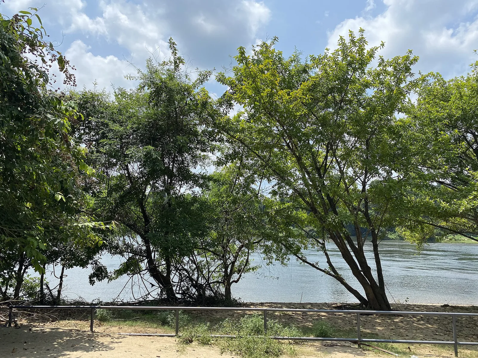
“Poru” in Malayalam means a fight. Paniyeli Poru is named for one, and not a mythological one — the routine, physical fight that raftsmen had with this stretch of the Periyar while trying to get timber past it.
Bamboo, tied into rafts, going downriver
Before roads did the work, the Periyar was the road. Bamboo cut in the forests of the upper catchment was lashed into rafts and floated down to Malayattoor and beyond, and the men who rode those rafts had to bring them through the rock field here — a place where a wide, slow river turns abruptly into a fast one squeezed between boulders.
That is the whole etymology, and it is a better one than most. The name is not a description of scenery; it is a job description. This was the bad bit. This was where you fought.
It is worth pausing on what that work required. Reading a channel you cannot see the bottom of, at speed, on a lashed bamboo platform, with the knowledge that going into the water between these rocks is not survivable by swimming. The men who named this place understood the hazard better than any visitor does, because their lives depended on being right about it several times a week.
- Poru — a fight, a clash. Not “rapids”, though some sources gloss it that way.
- The fight was the raftsmen’s, with the water, in the course of ordinary work.
- We label this an explanation rather than a documented etymology, because no source we have found settles it. It is, however, the version told locally and it fits the place.
From working river to eco-tourism site
The bamboo traffic has gone, and the stretch is now a Kerala Forest Department eco-tourism destination. The reserve forest here falls under the Divisional Forest Office at Malayattoor, and access is by a pass bought at the counter.
The management is unusual and worth knowing about, because it changes who you are talking to. Much of the on-ground work — guiding, watching the water, forming rescue teams — is done through the Vana Samrakshana Samithi, the community forest-protection committee, in an arrangement between the Forest Department, the district administration and local people. The person who tells you to move back off a rock is a neighbour of the river, not a distant official applying a rule.
The visit itself is a riverside trek of roughly a kilometre and a half. About 400 metres in, the route requires crossing the river on foot, after which it continues about another kilometre through forest to the cascade. That crossing is exactly the sort of thing that should be attempted on the guides’ judgement about the day’s water rather than on your own enthusiasm.
What replaced the raftsmen
Here is the uncomfortable shape of this place’s modern history. The people who used to be on this water were professionals who had learned it over years. The people on it now are day visitors from Kochi, ninety minutes away, most of whom have seen a photograph and none of whom have any way of reading the channel.
The consequence is a casualty record that is the defining fact of the site’s recent past: reporting counts on the order of 89 deaths across roughly two decades, overwhelmingly attributed to undercurrents rather than to depth. That record has driven successive tightening of access — marked zones, posted guards, deployed lifebuoys, warning boards, a gate that shuts well before dark, and a closure through the monsoon months from roughly June to October.
It is not a reason to stay away. It is a reason to go on the site’s terms rather than the photograph’s. Buy the pass, stay inside the marked area, do what the guards say, and understand that the calm-looking water at the edges is the fast water with its surface flattened. The raftsmen knew that. It is the single piece of their knowledge worth inheriting.
Frequently asked questions
What does Paniyeli Poru mean?
“Poru” means a fight or clash in Malayalam. The name is generally explained as coming from the raftsmen who floated bamboo down the Periyar and had to fight the water through this rock field. Some sources simply gloss it as “rapids”. Neither is a documented etymology, so treat both as explanations.
Was the Periyar used to transport timber?
Yes. Bamboo was cut in the upper catchment, lashed into rafts and floated downriver to Malayattoor and beyond, before roads took over the traffic. The rock field at Paniyeli Poru was the difficult stretch on that route, and it is where the name comes from.
Who manages Paniyeli Poru?
It is a Kerala Forest Department eco-tourism site, with the reserve forest under the Divisional Forest Office at Malayattoor. Much of the on-ground guiding, watching and rescue work is done through the local Vana Samrakshana Samithi, the community forest-protection committee, in an arrangement with the department and district administration.
How long is the trek at Paniyeli Poru?
Roughly 1.5 km along the riverside. At about 400 metres the route crosses the river on foot, then continues around a further kilometre through forest to the cascade. Whether the crossing is on depends on the day’s water — take the guides’ judgement, not your own.
Why does Paniyeli Poru have so many warning boards and guards?
Because of its casualty record. Reporting counts on the order of 89 deaths over roughly two decades, almost all attributed to undercurrents rather than depth. That has driven marked zones, posted guards, lifebuoys, a gate that closes well before dark, and a seasonal closure through the monsoon.
Is Paniyeli Poru worth visiting despite that?
Yes, on the site’s terms. It is a rock shelf with a forest river running through it, an hour and a half from Kochi, and far quieter than Athirappilly. Buy the pass, stay inside the marked area and follow the guards. The danger is real and it is also entirely avoidable by not getting into the water.