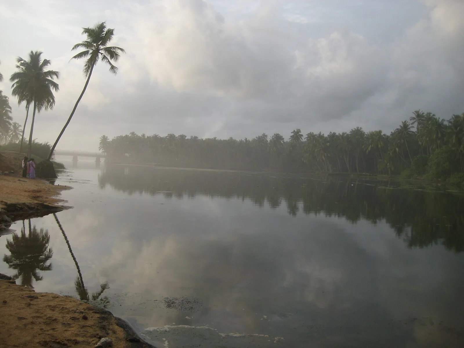
A pozhi is a breach — the mouth where a backwater running behind the coastal sand ridge cuts through it to reach the sea. Paravur has one, it is the reason the place is called Pozhikkara, and standing on the bar with still green water behind you and open surf in front is genuinely one of the better free half-hours on this coast.
What the view does not tell you is that almost nothing about the way this mouth now behaves is natural.
How it used to work
The estuary ran as a seasonal valve. In the monsoon the rising water opened the bar; the system flushed nutrient-rich sediment seaward; then the bar closed again on its own as the swell rebuilt it.
That cycle was the whole productivity of the place. It is what made the mangrove fringe a fish nursery, and it supported sea fishermen and inland fishermen through three interconnected phases of the year — the account given by SANDRP, the South Asia Network on Dams, Rivers and People, in January 2019.
Three interventions, thirty years
The valve was replaced in stages, and the sources date them separately rather than agreeing on a single narrative, so here they are as they stand.
1957 — a tidal regulator built into the spillway bridge, described in its own terms as being there "to control the salt water intrusion into Paravur Lake".
1968 — a spillway, built, in the words of Peter Pradeep of the Help Foundation quoted in the Deccan Chronicle in April 2018, "in the name of Ithikkara paddy field development". His fuller verdict: "The equilibrium of the environment was lost after the construction of a spillway in the name of Ithikkara paddy field development in 1968."
1986 — the natural estuary closed with granite boulders.
Why it does not work
The objection is geometric and you can picture it without any hydrology. The spillway sits about five hundred metres away from the natural mouth, and it runs north–south. The Ithikkara river arrives from the east and runs straight west. The structure meant to carry the river to the sea is at right angles to the direction the river is travelling.
SANDRP's assessment is short: the construction "is purely unscientific".
On top of that, the regulator shutters have reportedly been broken since 2013. A broken shutter on a tidal regulator is the worst of both states: sea sand comes in on every high tide, and fresh water drains out. Depth near the estuary that once exceeded fifteen feet is now reported as very largely filled.
Forty-eight hours
If you keep one number from this page, keep this one. The river's runoff historically took three to four weeks to reach the sea. It now takes around forty-eight hours.
A catchment that used to release its water over a month now empties in two days. The consequences named in the reporting follow directly: floods during the rains and drought in summer, salt pushing up the river at every high tide, water loss in the Kappil and Nadayara lakes, and a contribution to the district's drinking-water shortage. An Irrigation Department file was opened for sand removal; the reporting says nothing followed.
And then they dug it open again
In August 2018, with the water rising, the district administration cut a new outlet by hand, parallel to the original estuary.
That is the whole story in one action: an emergency re-opening, with shovels, of the mouth that had been deliberately sealed with granite boulders thirty-two years earlier.
A caution on all of this, because it matters. The two substantial accounts here are an advocacy network and a newspaper, not government record. The Kerala wetland brief and the Paravoor town development plan would settle the dates and the engineering properly, and neither was reachable while this was being written. Treat the sequence as well-reported rather than as officially established — and treat the sandbar, when you stand on it, as a thing that people have been arguing with for seventy years.
Frequently asked questions
Is the sandbar at Paravur natural?
The bar itself is a natural coastal feature, but the way this mouth opens and closes is now largely determined by engineering: a tidal regulator in the spillway bridge from 1957, a spillway from 1968, and the closing of the natural estuary with granite boulders in 1986.
Why is the spillway criticised?
Because it sits about 500 m from the natural mouth and runs north–south, while the Ithikkara river arrives from the east running west. SANDRP describes the construction as "purely unscientific". The regulator shutters have also reportedly been broken since 2013, so sand enters on every high tide while fresh water drains away.
What difference has it made?
The most striking figure is the runoff time: historically three to four weeks for the river to reach the sea, now around forty-eight hours. Reported consequences include monsoon flooding and summer drought, salt intrusion up the river, water loss in the Kappil and Nadayara lakes, and pressure on the district's drinking water.
Did anyone try to fix it?
In August 2018 the district administration cut a new outlet by hand, parallel to the original estuary — effectively reopening the mouth that had been sealed with boulders in 1986. An Irrigation Department file for sand removal was opened; reporting indicates no action followed.
How solid are these facts?
They come from SANDRP (January 2019) and the Deccan Chronicle (April 2018) — an advocacy network and a newspaper, not government records. We attribute them in the text rather than stating them as settled. The state wetland brief and the Paravoor development plan would settle the matter and were not reachable.