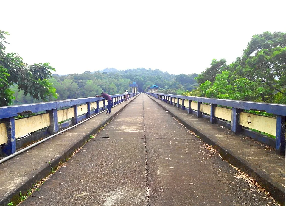
There is a tidy story about Peppara that gets told constantly, and this site told it too: a dam was built here for drinking water, and later somebody noticed the forest above it was valuable and protected it. Engineering first, conservation afterwards.
Two things are wrong with that.
They are the same year
The dam was completed by the Kerala Water Authority in 1983. The Peppara Wildlife Sanctuary was constituted in 1983.
Whatever the internal order of the files, this is not protection arriving a decade or two late to defend an asset that already existed. The reservoir and its sanctuary came into being together, which reads as one decision about a watershed rather than two decisions about a dam.
That distinction matters for how you read the place. A sanctuary declared long after a dam is a correction. A sanctuary declared with a dam is part of the design — an acknowledgement, at the point of building, that a drinking-water reservoir is only as good as the forest draining into it.
And the sanctuary is not the whole catchment
The second claim, repeated everywhere including here, is that the entire catchment above the reservoir is protected. Put the two figures side by side and it does not hold.
The catchment above the dam covers roughly 83 square kilometres. The sanctuary covers about 53. The protected area is the greater part of the watershed and it is not all of it — a real share of the ground that drains into this reservoir lies outside the boundary.
What you can see from the dam is still true: no houses, no farms, no development on any visible shore. It is the inference from that view — that everything upstream is inside a sanctuary — that does not follow.
Empty is not the same as uninhabited
There is a third habit worth breaking here, which is reading an unbuilt shoreline as a forest without people. The sanctuary contains settlements of the Kani, whose knowledge of these forests is documented well enough to have produced one of India's most-cited cases in the law of traditional knowledge and benefit sharing.
Describing this catchment as wilderness erases the people who have lived in and used it for a very long time, and it is not even necessary — protected and largely unbuilt is remarkable enough, and has the advantage of being accurate.
What to take away from the viewpoint
A watershed managed as one thing since 1983, most of it inside a sanctuary and some of it not, with people living in it, supplying storage to a city that draws its water a long way downstream.
That is a more complicated sentence than the one on most signboards. It is also a far more interesting thing to be looking at.
Frequently asked questions
When was the Peppara Wildlife Sanctuary declared?
In 1983 — the same year the dam was completed. It is very commonly described as having been declared some time after the dam, as though conservation followed engineering, and that framing does not match the dates.
How big is the sanctuary compared with the catchment?
The sanctuary covers about 53 square kilometres; the catchment draining into the reservoir covers roughly 83. So the protected area is the greater part of the watershed but not the whole of it, which makes the frequent claim of a fully protected catchment a simplification.
Is the forest around the reservoir uninhabited?
No. The sanctuary contains settlements of the Kani people, whose documented knowledge of these forests produced one of India's most-cited traditional-knowledge and benefit-sharing cases. An unbuilt shoreline is not evidence of an empty forest.
Why does it matter whether the dam or the sanctuary came first?
Because it changes what the protection means. A sanctuary declared long after a dam reads as a correction; one declared alongside it reads as part of the original design — a recognition at the outset that a drinking-water reservoir depends on the condition of the forest draining into it.
Is Peppara connected to other protected areas?
Yes. It adjoins the Neyyar Wildlife Sanctuary to the south and lies within the wider Agasthyamala Biosphere Reserve, so the forest here is contiguous with a much larger protected landscape running towards the Tamil Nadu border.