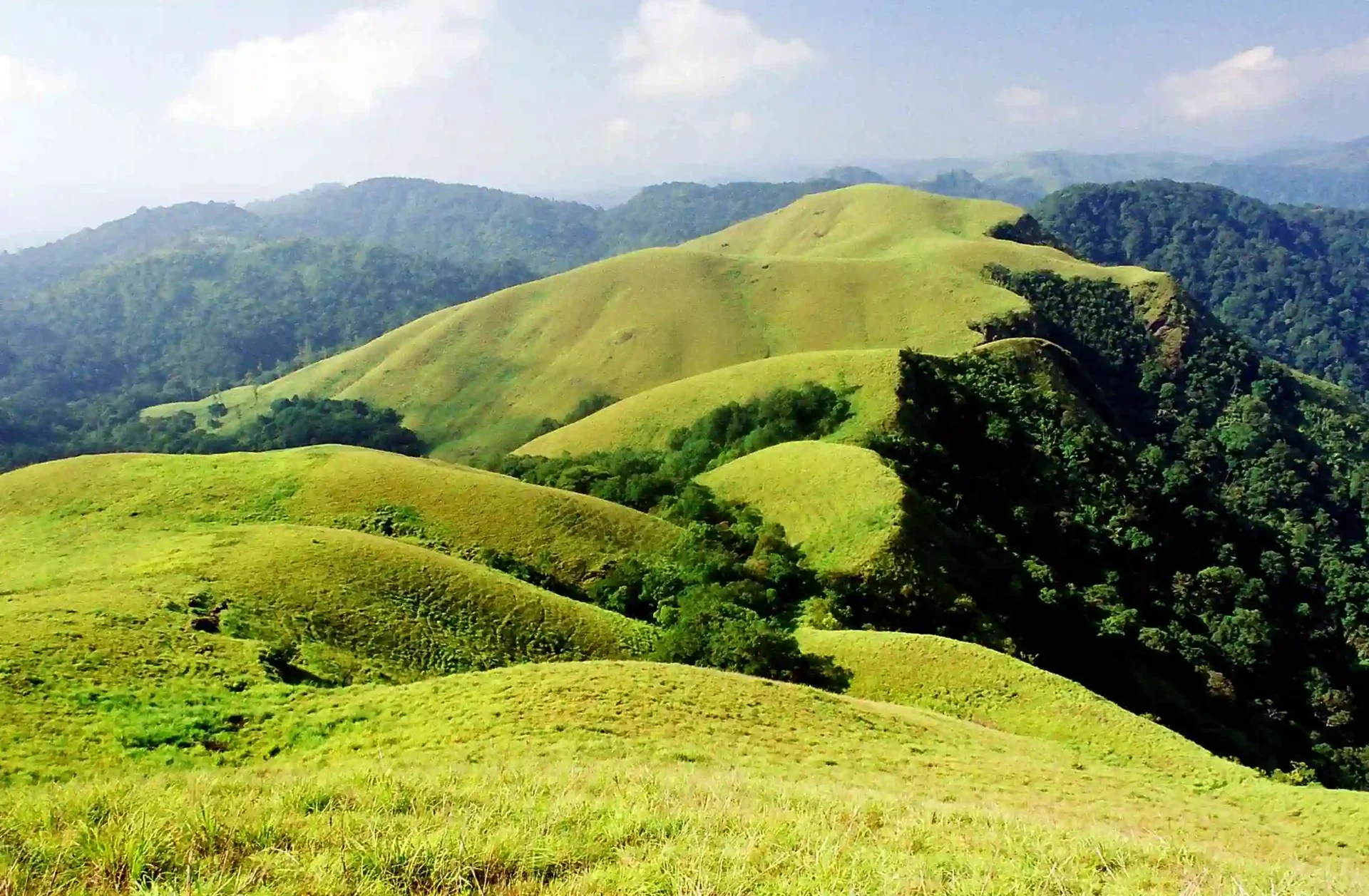
Grass covers the rounded foreground while darker trees gather in the folds beyond it. The reserve’s Border Hiking photograph shows a landscape with depth: open slopes, wooded hollows and farther ridges occupying different planes. It is a useful introduction to a programme whose description includes escarpments and watersheds, terms that become easier to understand when the guide can point to the actual ground.
A ridge is also a division
A watershed divides the direction in which water drains. On a hill, that division may follow high ground that looks quite ordinary from a distance. The interesting question is not simply which peak is tallest, but where rain falling on one side of a rise would travel compared with rain falling on the other.
Ask the guide to relate that idea to the assigned route. A small saddle or a turn around a slope can reveal a hollow that was invisible a few minutes earlier. The walk then becomes a sequence of connected landforms rather than a collection of viewpoints with no relationship to one another.
The reserve describes Border Hiking within an elevation band of roughly 900–1,300 metres. That range characterises its high-ground setting; it should not be read as an exact itinerary in which every group visits the same lowest and highest points. The programme’s actual route remains under the guiding team’s control.
Read the contrast between grass and trees
From the allowed walking line, compare the outline of an open slope with the denser vegetation in a fold. Light reaches those surfaces differently, so a cloudy day can exaggerate the contrast. A dark hollow is not necessarily a deeper one, and a bright patch of grass is not proof of an easy passage.
Keep the difference between seeing and accessing in mind. A ridge can look connected across the frame while a steep break lies hidden behind its shoulder. The guide’s route solves a practical problem that a panorama cannot: how the group moves through the terrain and returns within the day.
This is also why leaving the walking line for a supposedly better view can be a poor trade. A few steps may remove the very foreground that explains the landscape, while putting the walker on uncertain ground. A photograph from the permitted position can retain grass, a valley fold and a farther ridge together.
Let the return complete the picture
The outward journey is not the only chance to understand the hills. Light and cloud can change before the group comes back, making a familiar slope appear flatter or more layered. Notice what has changed without needing to repeat every earlier stop.
The reserve’s Border Hiking description introduces the undulating terrain and accompanied programme. On the day, use its landscape vocabulary as the start of a conversation with the guide. A ridge, watershed or escarpment becomes memorable when it is connected to a real turn in the walk.
Plan the visit: Periyar Border Hiking.