A river destination needs a bank as well as a name
Perunthenaruvi sits in a landscape reached through the Ranni area, with different roads serving the riverbanks and nearby infrastructure. A destination name alone does not explain where a car should stop or which side a visitor should approach.
DTPC’s current visitor information gives the Ranni–Athikkayam–Kudamurutty approach. The place-page map uses the exact mapped top of public steps on the northern bank, close to the DTPC marker. This is a visitor arrival reference above the water rather than a point in the cascade.
Assess the descent before committing the group
The steps make a change in level part of the visit. A person with restricted mobility should assess that actual approach and the return climb before descending. Being able to reach a road near a waterfall is different from being able to use every viewing position below it.
Keep the group together long enough to agree the turnaround and meeting point. If some people remain above, use the same named arrival area for the reunion. Sending a driver towards a different riverbank under the same waterfall name can complicate an otherwise short visit.
In wet conditions, the relationship between steps, rock and water needs particular attention. Follow the current permitted route and barriers. A dramatic view of chutes does not require entering the riverbed or moving beyond the visitor area.
Do not substitute the project road
KSEB’s older project document describes access to its construction and generating scheme. That information serves an engineering site with a weir and powerhouse; it is not a replacement for DTPC’s visitor approach. The two sets of directions answer different questions.
The same distinction applies on the map. An exact powerhouse coordinate may be useful for identifying an asset but unsuitable for a family waterfall visit. The public approach above the steps gives a more practical starting point for the experience described here.
Build the stop around the actual site
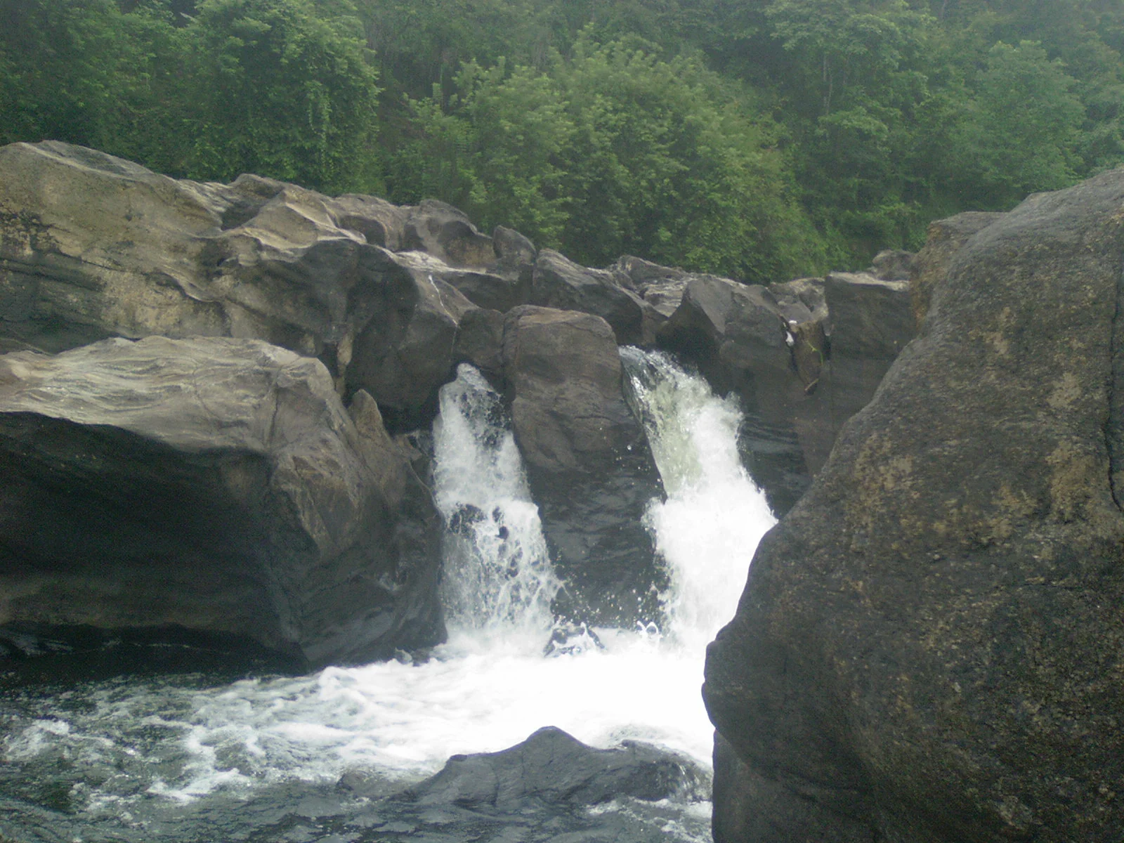
Take time to look from the permitted positions and notice the separate chutes, dark rock and vegetation framing the water. The view can be substantial without adding swimming or an improvised river crossing to the plan.
For the onward journey, return by the same authorised approach and meet the vehicle at the agreed road-side place. Keep the access clear for other visitors and local traffic rather than treating the step entrance as a long-stay parking bay.
A clear bank, a named approach and a realistic decision about the steps resolve the most important practical questions at Perunthenaruvi. They leave the rest of the visit free for the river landscape itself.
Sources: DTPC Pathanamthitta: Perunthenaruvi visitor information and OSM public approach steps.
Plan the visit: Perunthenaruvi Waterfalls.