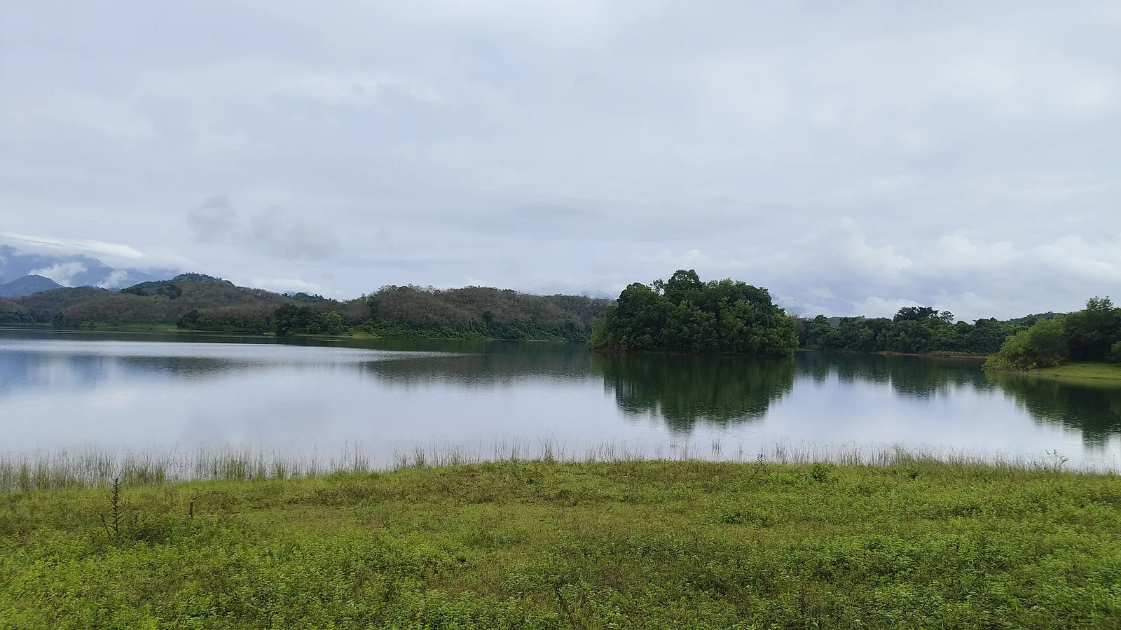
Stand on the parapet at Peruvannamuzhi and you are looking at a very ordinary-seeming sheet of water: a reservoir in a green valley, wooded islands, ridges going back into cloud. It looks like rain that fell on these hills and ran downhill into a dam, which is what reservoirs normally are.
A meaningful share of it is not. Some of that water fell on the far side of the Western Ghats crest, in Wayanad, into a river system draining east. Left alone it would have crossed the Deccan and reached the Bay of Bengal. It is here because of a tunnel.
The wrong side of the watershed
The Western Ghats are a drainage divide, and a dramatic one. Rain falling a few kilometres apart on either side of the crest ends up in different seas. On the western side, short steep rivers run forty or sixty kilometres to the Arabian Sea. On the eastern side, water joins the great east-flowing systems and travels for hundreds of kilometres.
In Wayanad, the Karamanathodu is one of those eastern streams. It is a tributary of the Kabini, the Kabini joins the Kaveri, and the Kaveri crosses the peninsula to the Bay of Bengal. That is the natural destination of the water in question: the opposite coast of India.
The dam with a giveaway name
Across the Karamanathodu at Padinjarethara stands Banasura Sagar — an earth-fill dam with a concrete gravity spillway and six saddle dams, about 38.5 metres high and 685 metres long, completed in 2004 and owned by the Kerala State Electricity Board. Most visitors know it as a Wayanad beauty spot with an island-studded reservoir.
Its formal engineering name gives the game away. In the project documents it is the Kuttiyadi Augmentation Main Earthen Dam. It is not a Wayanad irrigation project that happens to assist a power scheme on the other coast; it is a Kuttiyadi project that happens to be built in Wayanad. Its purpose is to collect eastern water and hand it west.
The handover is an interconnecting tunnel roughly 4.678 kilometres long, running from the Banasura catchment through the ridge to the Kakkayam reservoir, capable of diverting up to about 11.6 cubic metres a second. The catchment it adds is 61.44 square kilometres — larger than Kakkayam’s own 39 — and it receives an extraordinary 6,247 millimetres of rain a year.
Three machine halls on the way down
From Kakkayam, at about 750 metres above sea level, the water does not simply flow downhill. It is taken through a power tunnel and steep penstocks and dropped 658 metres over a horizontal distance of under three kilometres — a gradient of roughly one in four — into the Kuttiyadi powerhouses. That head is why the machines there are Pelton wheels, the bucket-wheel design you choose when you have enormous height and comparatively little water.
It passes through more than one station. The 1972 powerhouse, the 2001 extension beside it and the separate 2010 additional extension together account for 225 MW. Then the spent water drives the small Kuttiyadi Tail Race scheme, 3.75 MW, which exists purely to squeeze a little more out of water that has already worked. Only after all of that does the discharge rejoin the Kuttiyadi river and run the eleven-odd kilometres down to Peruvannamuzhi.
The Electricity Board says so in its own words: the discharge from the tailrace scheme flows to the same stream and ends up in the Kuttiyadi Irrigation Dam at Peruvannamuzhi, owned by the Irrigation Department.
And then it becomes drinking water
The last stage is the one that closes the loop. Peruvannamuzhi generates nothing — it is an Irrigation Department asset and the 6 MW scheme sometimes attributed to it has never been built. What it does is store, and increasingly what it stores goes to taps. A drinking-water scheme with an installed capacity of 174 million litres a day has been completed at this reservoir, and around 150 million litres a day are drawn from it to supply major parts of Kozhikode district.
So the full sequence, for one drop: rain on the eastern flank of the Ghats in Wayanad, bound for the Kabini and the Bay of Bengal; diverted west through a 4.7-kilometre tunnel; stored at Kakkayam; dropped 658 metres through three machine halls and turned into electricity; released into the Kuttiyadi; stored again at Peruvannamuzhi; and finally drawn off, treated, and poured out of a tap in Kozhikode city.
What to look for on the ground
The augmentation works are not hidden, they are just unlabelled. Between Peruvannamuzhi and Banasura Sagar the ridge carries a scatter of embankments with names that appear on maps and on nothing else — the Kuttiyadi saddle dam, the Kottagiri saddle, the Kosani saddle, the Manjoora saddle, the Poozhithodu dam. Individually each is an unremarkable bank of earth across a dip. Together they are the wall that keeps an entire catchment pointed the wrong way.
It is worth knowing while you are drifting about on a row boat. The calm you are sitting on is the last holding tank of a system that reversed a river’s ocean, and the only structure in that whole chain that does not generate a single watt.
Frequently asked questions
Is Peruvannamuzhi on the same river as Kakkayam?
Yes — both impound the Kuttiyadi (Kuttiady) river. Kakkayam sits on the headwaters about 11 km east and some 700 metres higher; the water it releases through the Kuttiyadi powerhouses flows back into the river and down into the Peruvannamuzhi reservoir. Some tourism sites say the dam is on the Chaliyar, which is wrong — that is a different river about 50 km to the south.
Can I drive from Peruvannamuzhi to Kakkayam?
Not directly. Despite being on the same river and often described together, there is no through road between the two reservoirs. Kakkayam is reached on a separate road up from Balussery and Koorachundu, so visiting both means driving back down and around.
Which water actually comes from Wayanad?
Water impounded by Banasura Sagar across the Karamanathodu, a tributary of the Kabini. It is diverted westward into the Kakkayam reservoir through an interconnecting tunnel of about 4.678 km at up to roughly 11.6 cubic metres a second, as part of the Kuttiyadi Augmentation Scheme.
How much power is generated on this river?
About 225 MW across the Kuttiyadi powerhouses at Kakkayam — a 75 MW station of 1972, a 50 MW extension of 2001 and a separate 100 MW additional extension of 2010 — plus 3.75 MW at the tail race scheme. None of it is at Peruvannamuzhi.