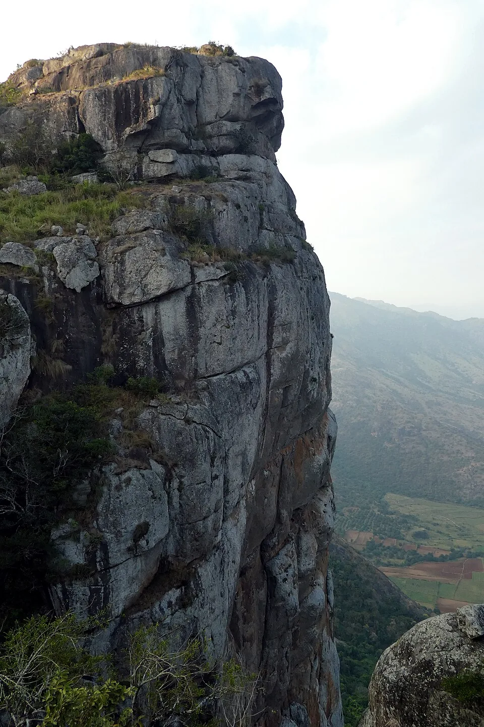
Almost everyone who comes to Ramakkalmedu photographs one of two things: the Kuravan and Kurathi statue, or the Tamil Nadu plain from the railing. Neither is what the place is named after. Ramakkal — രാമക്കൽ in Malayalam, ராமக்கல் in Tamil — is a crag 756 metres north of the ticketed viewpoint, mapped by OpenStreetMap as a peak at 1,063 metres with a bare-rock outcrop drawn around it and a flagstaff on the crest. Medu is simply high ground, a Malayalam word for an elevated place. The mountain was Ramakkal first; the medu was added afterwards, and the modern name is a description of where the rock is rather than of what it is.
The Ramayana story, and its English variant
Malayalam Wikipedia's own article on Ramakkalmedu gives the first account. In the Treta Yuga, while searching for Sita, Sri Rama came down on this upland on his way towards Lanka, and it was from here that Rameswaram was chosen for the building of the Sethu bridge. Because his feet pressed the rock here, the place took his name. English Wikipedia carries a variant of the same story in which Rama is accompanied by his younger brother Lakshmana, and glosses the name straightforwardly as “Land of Rama's Stone” or “Land where Rama set his holy foot”. Both versions agree about the object: a rock on the high ground with a footprint in it.
The Mahabharata story, which nobody translates
The second account is in the same Malayalam article and almost never reaches English. It attaches to a specific stone on top of the ridge, the കല്ലുമ്മേൽ കല്ല് — literally the stone upon stone. The story is that Bhimasena used it to pound betel for Draupadi during the Pandavas' years of forest exile. It is a domestic image, a kitchen implement the size of a boulder, and it belongs to a completely different epic from the one the mountain is named after. One ridge, two epics, and the version that survives in the travel copy is the one with the god in it.
Why the temple is where it is
These are not decoration on a viewpoint. The Sree Rama and Durgga Devi Temple stands on the ridge road at the foot of the path up to Ramakkal — Malayalam Wikipedia records it as being here, and local descriptions put it at the threshold of the mountain path, where people take a blessing before climbing. The path itself is published locally as 700 metres, about thirty minutes up and fifteen down, finishing on bare rock rather than on made ground. There is no railing, no staff and no ticket. Kerala Tourism's own newsletter about this hill gives the same instruction in different words: “leave your vehicle in the valley and set out on your foot.”
What you can and cannot see
From the DTPC compound the rock is a silhouette to the north, and from the rock the compound is a cluster of roofs to the south. Four kilometres further down, on the Kerala–Tamil Nadu border, Kerala Tourism describes a second temple almost nothing else mentions — Thirumalairayar Perumal Kovil, reached by “a meandering path less travelled by”, where “people from both Tamilnadu and Kerala offer prayers” and from which, in its words, Ramakkalmedu towers high on one side. A local tourism site describes what may be the same descent as a steep two-kilometre route to a Perumal Jagannadha Temple at the foot of the mountain. Whether those are one path and one building is not settled by anything published, and this guide leads with the official four.