There is a version of Ramakkalmedu that has a ticket counter, opening hours of 08:30 to 18:00, a hornbill-shaped watchtower and a camel ride. It is the one every photograph is taken at, and it has its own page. This is about the other one: the ward of a grama panchayat where people live, which is 2.9 kilometres down the road and has no gate at all.
It has a number, and the number is five
Kerala's Local Self Government Department publishes the result of every panchayat election ward by ward, and its record for Karunapuram grama panchayat runs from Ward 1 to Ward 17. Ward 1 is Thookkupalam. Ward 3 is Chottupara. Ward 5 is Ramakkalmedu, which returned Latha Gopakumar in the 2020 election. Ward 6 is Kuruvikkanam. Ward 10 is Cumbammettu, at the head of the descent into Tamil Nadu. The panchayat president sits at Chennakulam, Ward 9, and the panchayat office shares a building with the Krishibhavan — the agriculture office — at Karunapuram, 6.6 kilometres from the middle of Ramakkalmedu by road.
That list is worth reading slowly, because it quietly answers a question the travel writing never does. English Wikipedia says the second wind energy farm ever built in Kerala stands in the villages of Pushpakandam and Kuruvikanam, “near Ramakkalmedu”. Kuruvikkanam is Ward 6 — the ward next door. The turbines that appear in every photograph of this ridge are not in Ramakkalmedu, and the only three that OpenStreetMap maps within eight kilometres stand five and a half kilometres north-west, beside Pushpakandam.
Thirty thousand people and a telling ratio
At the 2011 census, Karunapuram village covered 53.21 square kilometres and held 30,473 people in 7,571 households. Literacy was 96.03 per cent, comfortably above the Kerala figure of 94. One number, though, sits apart from the rest: the sex ratio is 1,020 women to a thousand men, where Kerala's is 1,084 — the highest in India.
A panchayat well below the state ratio in the state that leads the country is the demographic signature of somewhere settled by migration rather than by continuity. The Idukki high range was cleared and planted within living memory, and the people who came up to do it were disproportionately young men. You can hear the same history in the place names. Balanpilla City, a couple of hundred metres from where this page's map pin falls, is a scatter of houses around a road junction with the word City in its name.
Two maps, one name, a mile and a half apart
Two major open geographical databases place Ramakkalmedu 1,545 metres apart. Wikidata puts the hill station among the houses, ration shop and Sacred Heart High School, while OpenStreetMap places the village centre 1,545 metres north-east and 384 metres from the tourism-centre gate. One point represents where people live; the other represents where many visitors stop.
Neither is an error, exactly. One database is answering the question “where do people live?” and the other is answering “where do visitors stop?”. It is just that both answers are filed under one name, and only one of them has a signboard.
What is actually here
A ration shop under the public distribution system. A high school. Hamlets called Balanpilla City, Ammavanpady, Combamukku, Thovalappady and Idatharamukku, and further out Chottupara, West Para and Prakash Gram. A government homoeopathic hospital 4.2 kilometres away at Chottupara, which is the nearest mapped hospital of any kind. No fuel, no pharmacy, no ATM and no bank — Nedumkandam, 13.3 kilometres down the hill, is the nearest of each.
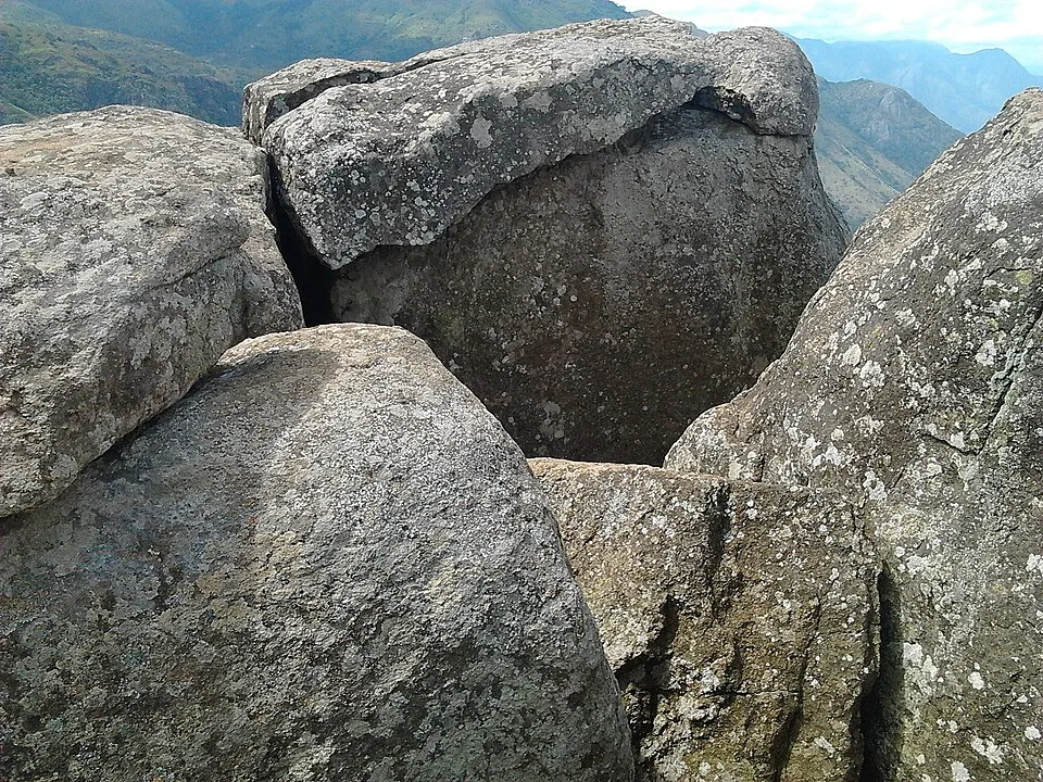
And the Sree Rama and Durga Devi temple, which Malayalam Wikipedia records as standing here, at the foot of the path that climbs to Ramakkal — the rock the whole ridge, the ward, the school and the panchayat seat are all named after, and which none of them can see from the doorstep.
The road that is named after leaving
The road out of the ward towards Tamil Nadu is signed Ramakkalmedu–Cumbummettu. Cumbummettu is the Kerala village at the top of the descent, 8.9 kilometres away by road and Ward 10 of this same panchayat, and beyond it the ground drops to Cumbum on the plain. You can see Cumbum from the ridge. Getting there is 24 kilometres of road for 8.8 kilometres of air, because nothing crosses the escarpment here.
The border makes itself felt in a more everyday way too. Phones along this ridge change between the Kerala and the Tamil Nadu networks without being asked, which can mean roaming charges and can mean live navigation dropping out halfway down.
And a solar farm on the windiest ground in the state
A solar power station appears on maps 1.9 kilometres north of the village. There is no contradiction in placing photovoltaic panels on a ridge known for wind: the clear dry season that improves the view is also the season in which solar generation pays. It is simply a less familiar part of a place whose public identity is built around turbines.