Ask how high Ranipuram is and you will be told 750 metres, or 780. Both figures are honest and neither is the hill. They describe the place the road stops — the eco-tourism counter, where you get out of the car — and the summit stands a good deal higher than that. The Forest Department’s own description of the centre puts the top at 1,049 metres, the highest ground in Kasaragod district, and the peak is mapped a few metres either side of that same number.
What that means for the day
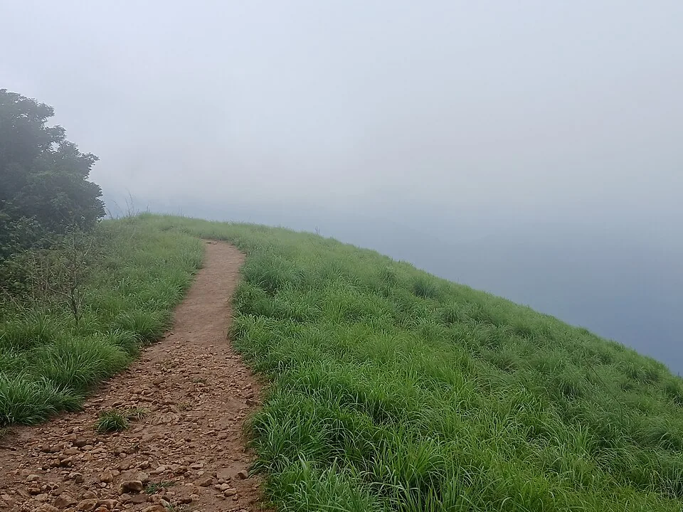
It means the car has already done two thirds of the work before you start. Panathady, the village at the bottom, sits down at around 150 metres in the plantation country; the counter is up at about 780. Everything in between is driven. What is left on foot is the last stretch of the hill, and Kerala Tourism calls it a two-kilometre walk of about an hour to the point where the trees give out and the grassland opens.
That is why the state describes this as a soft trek and means it. There are stone steps laid into the track in places, the gradient is steady rather than cruel, and people who would not call themselves walkers get up it. It is not a mountaineering day and nobody should arrive braced for one.
The road is not a jeep track
A great deal of what is written about Ranipuram describes the approach as a rough nine-kilometre jeep track that a low car should not attempt. It is not. The Panathadi–Ranipuram road is a made two-lane road with a tarred surface, classified as a major district road, and it is tarred all the way to the counter. It is a ghat road and it climbs six hundred metres in about ten kilometres, so it bends and it is slow in mist — but an ordinary car drives it.
The older name
Ranipuram used to be called Madathumala, and the name has not entirely gone. Kerala Tourism still records it, the summit is mapped under it, and the village at the counter still carries it as a former name. The high point that walkers stop at is Manimala Top, the bare rock at the end of the grass, and it is the thing you can pick out from a long way down the valley.
Frequently asked questions
How high is Ranipuram?
The summit is 1,049 metres, which the Forest Department publishes and which makes it the highest point in Kasaragod district. The widely quoted 750 or 780 metres is the height of the eco-tourism counter where the road ends, not of the hill.
How long is the Ranipuram trek?
Kerala Tourism describes it as a two-kilometre walk taking about an hour to reach the grassland, on a track with stone steps laid into it in places.
Can a normal car get to Ranipuram?
Yes. The Panathadi–Ranipuram road is a tarred two-lane district road all the way to the counter. It is a winding ghat climb and it is slow in mist, but it is not the unsealed jeep track it is often described as.