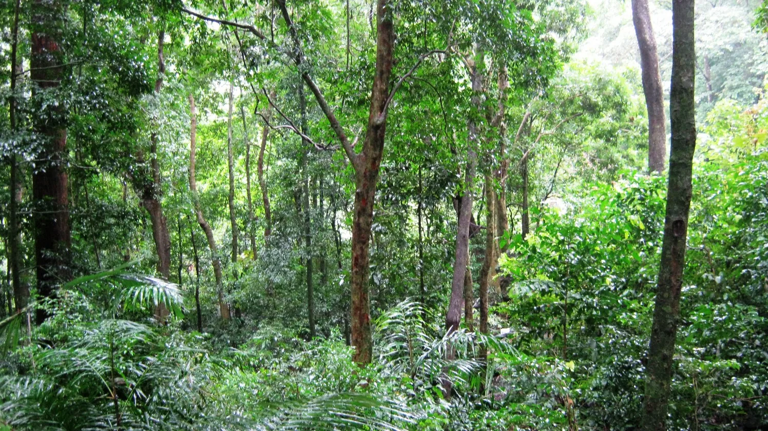
The word sanctuary suggests a sealed thing: a line on a map with forest inside it and people outside. Shendurney is not that, and it never has been.
When the boundary was drawn in 1984 it went around three privately owned estates and left them where they were, in the middle. They are still there.
Who is inside
The Forest Department’s own management plan lists them, with an unusual amount of detail, and the numbers are worth reading slowly.
Rosemala: 262 hectares, 225 families, 1,266 people. Kallar, which includes the Thengumthoppu estate: 552 hectares, 22 families. Part of Rockwood: 63 hectares, 2 families. In total 877 hectares of private enclosure inside the notified boundary, with a further 450 hectares of vested forest.
Look at the first two rows together and the difference jumps out. Kallar has twice Rosemala’s land and a tenth of its households. Rosemala is a labour settlement; the other two are estates in the ordinary sense. Nearly everyone living inside this sanctuary lives in one place, and that place is Rosemala.
There is a fourth enclosure, Kattilappara, 25 hectares and 37 families, which sits outside the limits but is included in the management plan anyway — in the plan’s words, because of local people’s dependency on forest areas for their daily sustenance.
The boundary is physical, and unequal
The plan describes how the line is marked, and the asymmetry is telling: the sanctuary boundary with the Rosemala estate is totally demarcated with solar fencing, while the boundaries with the other two estates are demarcated with cairns and barbed fence.
Solar fencing is what you install between a large resident human population and elephants. The total peripheral length of the sanctuary is about 35 km, most of it marked with cairns.
The zonation makes the geography concrete too. Rosemala and Kallar sit inside the buffer zone — 47.13 sq km — which is sandwiched between the core in the east and the tourism zone in the west. The settlements are not on the edge of this sanctuary. They are its middle layer.
What the department says about it
Government management plans are not usually candid. This one is.
On the estates generally: despite the demarcation, the presence of the estates within the sanctuary limits is hindering the effective management of the sanctuary components. On Rosemala and Kallar specifically: since the pressure of human population within the sanctuary poses severe conservational problems, the efforts should be directed towards their effective rehabilitation.
That is a resettlement proposal, written by the managing agency, published in its own plan.
The plan ran from 2012–13 to 2021–22. It has expired. Nobody has been moved.
Ordinary life, recorded in a conservation document
The same plan records daily detail that is rarely written down anywhere: the majority of Rosemala’s residents use firewood for cooking; kerosene stoves and biogas are also used, though biogas only among people with cattle, who are few. The reservoir is the water source for the majority of settlements in and around the sanctuary.
And it lists what people gather from the forest — a genuine ethnobotanical inventory rather than a generic phrase: kunthirikkam, pathirippoovu, cheevakkai, pachotti, incha, koppumvala, cardamom, ponnampoo, tharavella, parandakkai, cheenickai, maramanjal, chithirappoovu, marottikkuru, vayanappoovu, kudampuli. Collected, it says, for self-use and for sales — and unauthorised collection is named as one of the major problems faced by the Forest Department.
Both of those sentences are in the same document. The people who live here are, in the department’s telling, simultaneously the community it works with and the pressure it manages.
The other half of the arrangement
And it does work with them, which is the part that stops this being a simple story of enclosure.
There are nine eco-development committees around the sanctuary — Kattilappara, Neduvanoorkadavu, Thenmala Dam, Parappar, Thenmala MSL, Elavumoodu, Easamukku, Nellikunnu and Ambalamukku — and an eighteen-member Shendurney Ecotourism Development Committee drawn from them, which actually runs the boating and the deer rehabilitation centre. Between 2006 and 2012 the committees planted 610 hectares. Entry-point funding went to them in small, specific amounts: about ₹1.32 lakh to Kattilappara for chicks and gas connections, ₹96,000 to Ambalamukku for road maintenance, solar fencing and sewing machines. The ecodevelopment surcharge levied on tourists goes to the committee members’ welfare fund.
So a visitor’s ticket money does reach the households on the boundary. That is a real mechanism, not a slogan.
Why this belongs on a page about a forest
Because the tidy version — pristine sanctuary, protected by a line — is not what is there, and the untidy version is more interesting and more useful.
What is there is 171 square kilometres of forest with 877 hectares of estate inside it, about 1,300 people living in the buffer zone, solar fencing on one boundary and cairns on the others, a department that says in print that it would like them rehabilitated, and no sign of that happening in forty years.
The plan also asked for the two forest sections to be upgraded to forest stations — Kallar covering 90 sq km and Rosemala 81 — on the grounds that the present strength of protective staff is inadequate. It is a small sanctuary, thinly staffed, with a village in the middle. Knowing that changes what you are looking at from the boat.
Frequently asked questions
Do people live inside Shendurney Wildlife Sanctuary?
Yes. Three private estates sit well inside the notified boundary — Rosemala (262 ha, 225 families, about 1,266 people), Kallar including Thengumthoppu (552 ha, 22 families) and part of Rockwood (63 ha, 2 families) — 877 hectares in all, plus 450 hectares of vested forest.
Are they tribal settlements?
No, and this is a common error we have made ourselves. The management plan enumerates every settlement inside the boundary and they are all private estates. No Kani or Kanikkar settlement is recorded inside Shendurney; that community is associated with the Peppara, Neyyar and Agasthyakoodam country in Thiruvananthapuram district.
What does the Forest Department say about them?
That their presence "is hindering the effective management of the sanctuary components", and that because the population pressure poses severe conservation problems, efforts should be directed towards their effective rehabilitation. That was published in the 2012–13 to 2021–22 management plan. Nobody has been moved.
Is Rosemala a viewpoint?
It is both, which is why the listings confuse people. It is a valley settlement of 225 families inside the sanctuary, reached by a rough forest road from Aryankavu through elephant country — and there is a ticketed Forest Department lookout at the top, ₹83 a head, with a counter and parking. From Kollam it is a long day; from Aryankavu it is an afternoon.
Does visiting the sanctuary benefit local people?
Yes, through a real mechanism. Nine eco-development committees ring the sanctuary and an eighteen-member ecotourism committee drawn from them runs the boating and the deer centre; the ecodevelopment surcharge on tourists goes to the members’ welfare fund. Between 2006 and 2012 the committees planted 610 hectares.