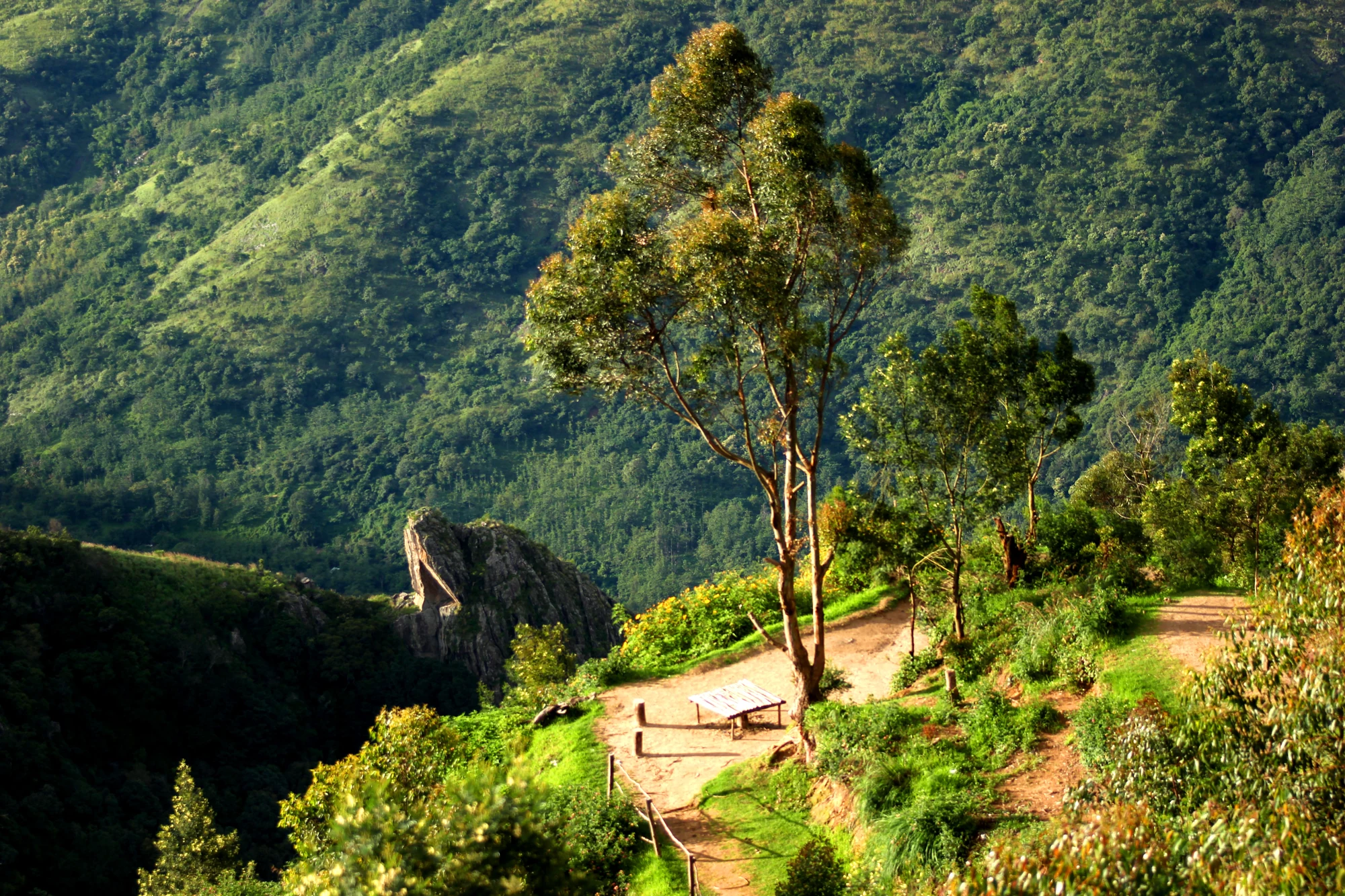
The first decision at Top Station is made before the broadest view. From the roadhead, a visitor has to judge how far down the viewpoint route to go. A descent can make a walk feel easier at the beginning than it will be at the end. The useful measure is therefore the whole outing: entrance, outward walk, time at a viewing position and the climb back to the vehicle.
Separate arrival from the viewpoint
The Munnar approach passes through Mattupetty and Kundala before reaching Top Station. Those earlier stops have their own parking, shorelines and visitor arrangements. Arriving at the final roadhead does not mean that the lower viewing position is beside the car. Identify the entrance and the available walking route before deciding what the group will attempt.
The path includes a change in level, with stepped or uneven sections. A photograph of one earthen stretch cannot describe every surface along it, and a railing visible in one frame does not establish a continuous barrier throughout. At the entrance, assess the route that is actually open that day, including the return direction. Someone who can manage a short level walk may still find the climb back unsuitable.
Choose a turning point together
A group does not need a single definition of success based on the lowest platform. Agree a turning point that suits the slowest walker, or a clear meeting place if the group separates. The person waiting should know which entrance the others will return to and where the vehicle is parked. This is more useful than assuming everyone will emerge together after following the crowd downhill.
Rain changes the character of the route. An uneven surface that is manageable when dry may become slick, while cloud can remove the distant view altogether. Neither condition is improved by hurrying to the farthest point. A shorter visit is a reasonable response when the path, visibility or a visitor’s energy makes the full descent unattractive.
The valley is not an onward shortcut
Top Station is also associated with the Kurangani trekking route on the lower side of the hills. That connection can be misleading during a short sightseeing visit. A path appearing to continue downwards is not permission to turn a road excursion into a through-trek. The longer journey needs its own authorised arrangements, guide requirements and return transport.
Keep the roadhead visit self-contained. Return by the permitted route to the entrance used at the start, allowing time for the climb before the driver’s pickup. On a day that also includes Mattupetty or Kundala, leave room for those stops and the winding return to Munnar. The time spent looking into the valley is only one part of that day.
For visitors avoiding steps, the useful question is about the shortest usable outlook near the roadhead. A continuously accessible route to the lower viewpoint has not been established. Assessing the entrance before paying for an additional section helps a visitor choose an outing they can comfortably complete, without treating a difficult descent as obligatory.
The reward of the walk is a clearer relationship with the landscape, not a particular distance recorded on a phone. A safe position with a foreground ridge or tree can reveal the valley’s depth just as effectively as a more exposed place farther down.
Destination context: Theni district’s Kurangani Top Station page.
Plan the visit: Top Station.