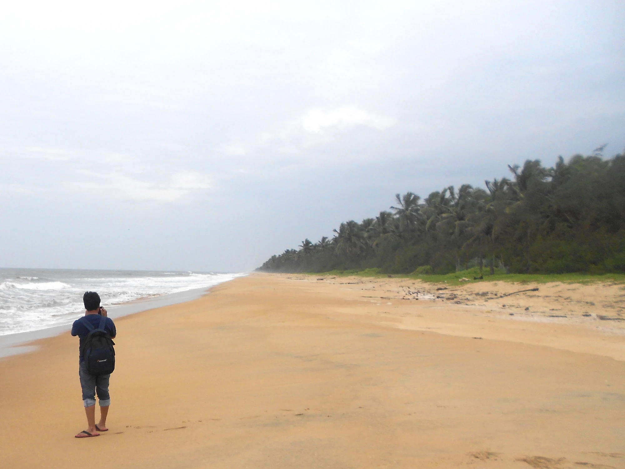
Valiyaparamba has two very different waterfronts. The sea-facing beach opens onto waves and a broad horizon. Inland, coconut shores and inhabited land enclose the backwater view. Their closeness is part of the place’s character, but a visitor who confuses them can arrive at a beach when the booked boat is waiting at an inland terminal.
Look across the narrow coastal land
The panchayat describes Valiyaparamba as low-lying coastal country between the Arabian Sea and backwaters. Sandy beaches and coconut groves occupy the land between those waters. This setting is easier to understand through two separate stops than through one photograph labelled simply “Valiyaparamba”. At the beach, the horizon and surf dominate; at a backwater shore, the opposite bank and passing craft give the view its scale.
The beach photograph accompanying this story shows an open sand shore, a line of palms and breaking waves. It is a coastal context frame, not a picture of a houseboat pier. A useful trip plan keeps the same distinction: identify the road access for a sea-shore visit and the named terminal for a water journey. They may form one day, but they are different arrivals.
Inland water is a route through settlements
On the backwater side, boats link places as well as entertain visitors. Ayitti’s published passenger services point towards named landings such as Padanna and Kotti. Private cruises use their own departure arrangements. Looking across the water can make another shore seem close, yet the practical connection may require a boat at a particular time or a longer road journey.
A bridge visible in a landscape photograph should not become a route instruction without identification and a current access check. The same is true of a small jetty: it may serve a household or working boat rather than a public passenger service. Use a mapped, named arrival base and the operator’s instructions to connect the views you want to see.
The two shores respond differently to weather
The local-government account places the heaviest rain in June to September and describes summer as hot and humid. On any particular day, the sea and inland water may still feel quite different. Shelter beside a coconut shore can soften the appearance of the backwater while surf remains active on the beach. One view does not establish conditions at the other.
For that reason, treat the beach as a shore visit and boating as an organised activity with its own crew decisions. A calm photograph is not a swimming assessment. Stay on the permitted landing and public shore, and let the boat operator determine whether the planned water journey can proceed.
Combining the two sides gives Valiyaparamba a clearer shape in the mind. The open sea explains the long coastal edge; the inland water explains the boats, landings and settlement connections. Neither needs an exaggerated claim of remoteness. The interest lies in how closely these distinct landscapes sit beside the homes and livelihoods of the same coastal region.
Geography: Valiyaparamba Grama Panchayat. Arrival context: Kasaragod district.
Plan the visit: Valiyaparamba Backwaters.