What to expect
Highlights
- Forested reservoir
- Hydroelectric landscape
- Road excursion from Valparai
Upper Sholayar is a hydroelectric reservoir beyond Valparai, viewed from permitted road areas in a forested border landscape.
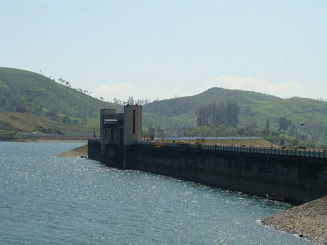
Upper Sholayar is a hydroelectric reservoir beyond Valparai, viewed from permitted road areas in a forested border landscape. Treat this as operational water infrastructure, not an open waterfront park. Security and road signs decide where vehicles may stop and visitors may stand.
The district lists Upper Sholayar as an excursion from Valparai. The long reservoir and forest backdrop are visible from sections of the onward road.
Do not enter dam compounds, gates, service roads or shoreline tracks. A mapped pin may identify the structure without identifying a legal visitor entrance.
Rain and mist can make the border road hazardous. Leave Valparai with enough fuel and daylight and confirm whether the onward route is open.
For the visit itself, allow three to four hours return from Valparai. The best time is clear daylight in safe road conditions. Use only designated roadside viewpoints. Check road and security restrictions before departure. Keep away from operational works and reservoir banks.
Clear daylight in safe road conditions.
Live forecast loads in your browser.
Sun and moon are calculated for this location and shown in IST. Photography windows are the hour around sunrise and sunset; the sunset bearing is degrees clockwise from true north. Moon phase is accurate to about half a day.
Verified hotels, homestays, restaurants, experiences, sights, shops and rentals around Sholayar Dam (Upper Solaiyar) — commission-free, with direct contact. Filter by what you need.
A seven-room homestay on Kumaran Road, with guide services arranged for guests. Check-in is one o'clock and check-out eleven.
A resort on GH Hospital Road in Valparai, describing itself as budget rather than luxury. It takes reservations by email as well as telephone.
Book with the place itself. India’s cyber-crime coordination centre warned in April 2025 that convincing copies of hotel and pilgrimage booking sites are being pushed through sponsored search and social ads, taking payment for rooms the property never hears about. Every listing here links to the business’s own contact details and its own Google or Bing profile — we take no commission and sit in nobody’s payment path. If a booking page reached you through an ad, check the address bar against the property’s own site before you pay. Fraud can be reported on cybercrime.gov.in or on 1930.
Find food, accommodation and activities across Valparai. Browse the guides for places to eat, stay and explore along your route.
7 more places around Valparai. Open a guide to plan the visit and onward journey.
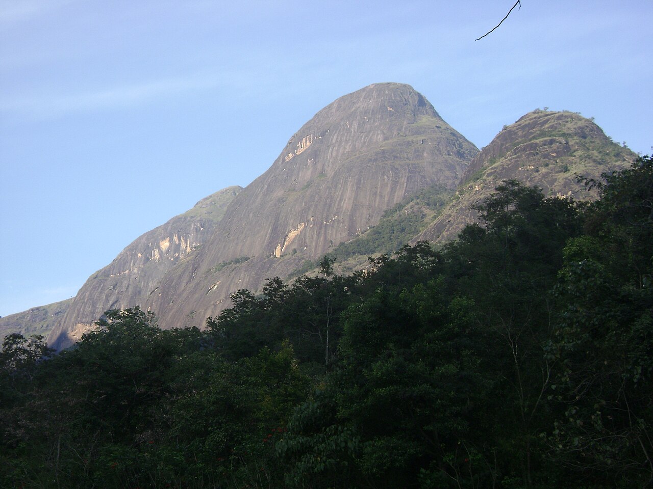
A broad Western Ghats protected area with multiple controlled access points. The page withholds a centre pin; visitors must use the exact gate supplied for an authorised activity.
9.1 km · ~15 min by cab
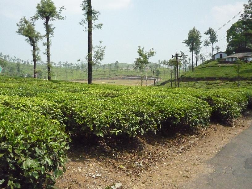
A tea-estate hill town in the Anaimalai hills, reached by a demanding ghat road past Aliyar Dam.
23.1 km · ~38 min by cab
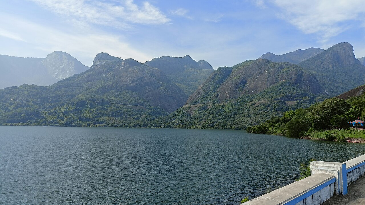
A working dam and reservoir on the Valparai road; gardens, boating and other visitor facilities require separate current confirmation.
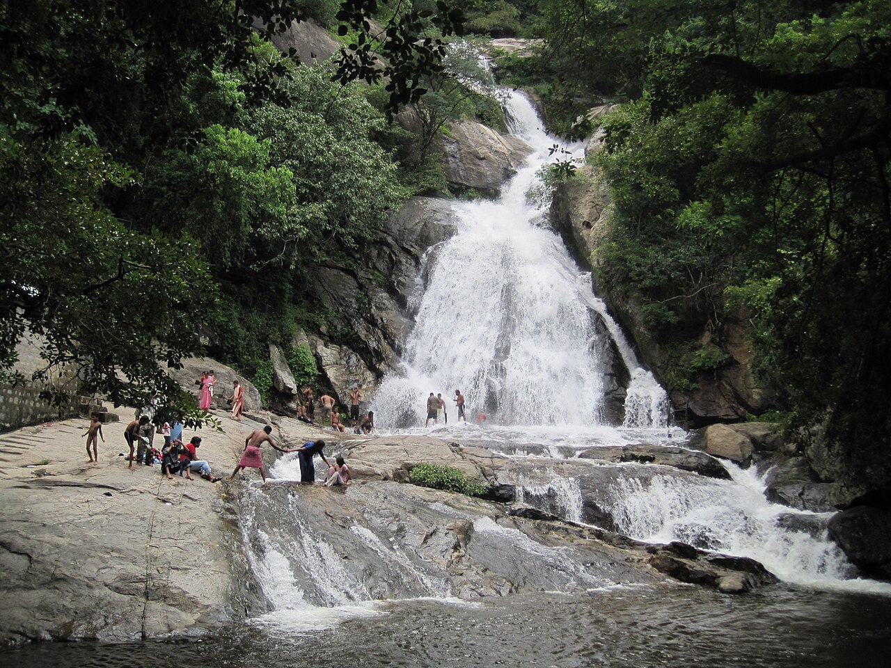
20.6 km · ~34 min by cab
A seasonal roadside waterfall on the Pollachi-Valparai ghat road whose entry and bathing access depend on current Forest Department controls.
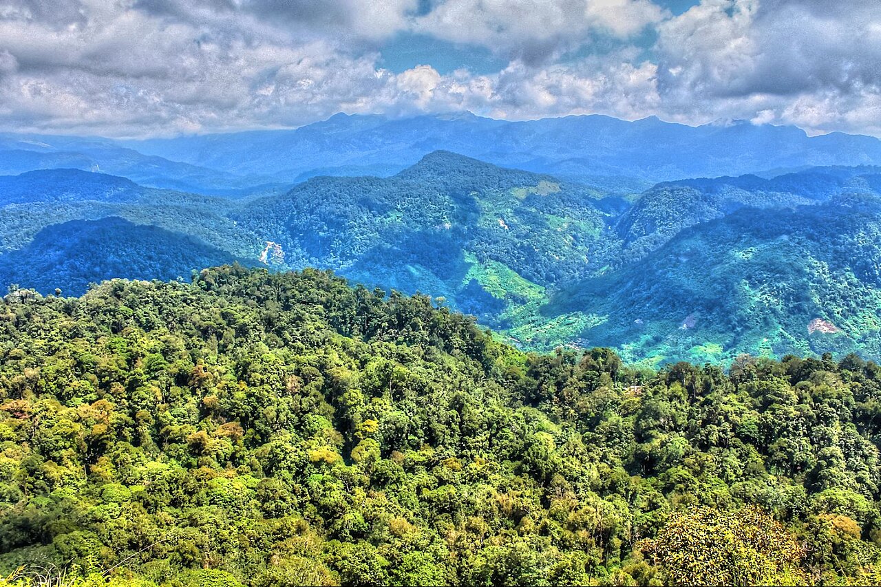
A tea-estate viewpoint whose access depends on the estate. Confirm its current public entrance locally before travelling.
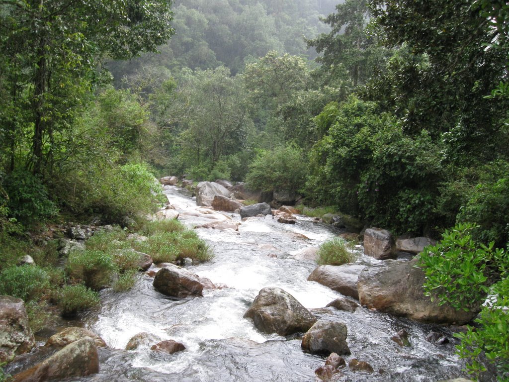
16.4 km · ~27 min by cab
Chinnakallar Falls, near Valparai in the Anamalai hills, lies in one of the highest-rainfall pockets of southern India, often described as among the wettest places in the region. The powerful falls plunge through dense rainforest and are usually viewed from a designated safe distance because of slippery, hazardous terrain. It is a signature natural attraction of the Valparai plateau.
20.7 km · ~35 min by cab
Loam's View Point sits at the 9th hairpin bend of the Pollachi–Aliyar–Valparai ghat road and is named after Mathew Loam, who surveyed the route in 1886. The platform offers sweeping views of the Aliyar Dam and reservoir and the Anamalai ranges of the Western Ghats. It is a favourite sunset stop on the climb to Valparai.
Roampedia is commission-free — own or know a stay, eatery, guide or shop near Sholayar Dam (Upper Solaiyar)? List it and it appears here once verified.
Add a nearby businessEntry: No universal sightseeing ticket is established.
Arrange a return vehicle from Valparai with fuel and daylight margins.
If you need step-free access, contact the site before travelling. Ask about a level entrance, steps along the route, the nearest drop-off point, seating and accessible toilets.
Emergency numbers are verified against official government and state tourism sources. 112 works anywhere in India.
A tea-estate hill town in the Anaimalai hills, reached by a demanding ghat road past Aliyar Dam.
9.1 km · ~15 min by cab · straight lineChinnakallar Falls, near Valparai in the Anamalai hills, lies in one of the highest-rainfall pockets of southern India, often described as among the wettest places in the region. The powerful falls plunge through dense rainforest and are usually viewed from a designated safe distance because of slippery, hazardous terrain. It is a signature natural attraction of the Valparai plateau.
16.4 km · ~27 min by cab · straight lineA seasonal roadside waterfall on the Pollachi-Valparai ghat road whose entry and bathing access depend on current Forest Department controls.
20.6 km · ~34 min by cab · straight lineLoam's View Point sits at the 9th hairpin bend of the Pollachi–Aliyar–Valparai ghat road and is named after Mathew Loam, who surveyed the route in 1886. The platform offers sweeping views of the Aliyar Dam and reservoir and the Anamalai ranges of the Western Ghats. It is a favourite sunset stop on the climb to Valparai.
20.7 km · ~35 min by cab · straight lineA working dam and reservoir on the Valparai road; gardens, boating and other visitor facilities require separate current confirmation.
23.1 km · ~38 min by cab · straight line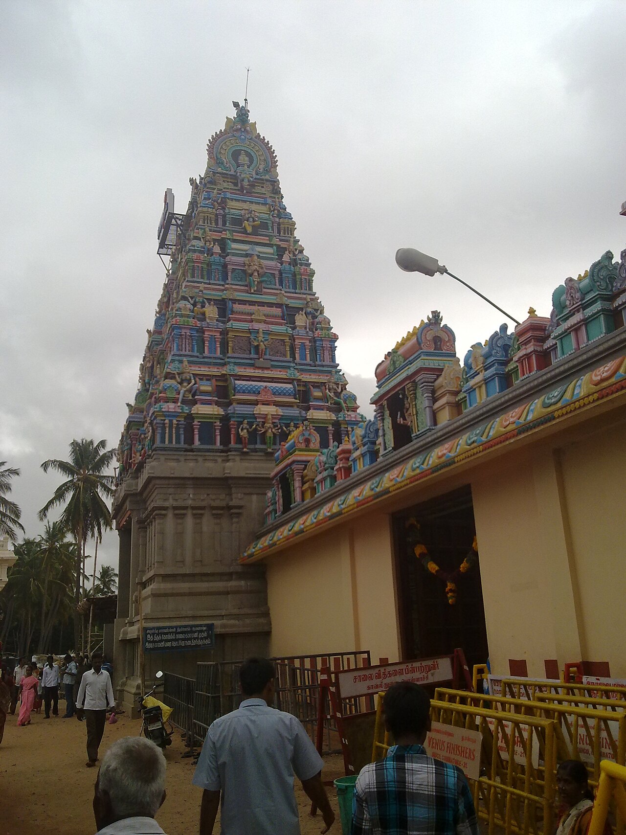
Set near Anaimalai at the confluence of the Uppar stream and the Aliyar river, this temple is unusual for enshrining the goddess Masani Amman in a large, brightly painted reclining posture. Devotees visit to seek justice and resolution of disputes, giving it a reputation as a shrine of divine judgement. Its distinctive sleeping-goddess idol makes it a notable pilgrimage site south of Coimbatore.
31.7 km · ~53 min by cab · straight line
Kari Motor Speedway is a purpose-built motorsport circuit near Chettipalayam, outside Coimbatore, used for competitive racing and track activities. Public entry and spectator access depend on the event calendar, so check the organiser's current programme before travelling.
69.9 km · ~116 min by cab · straight lineNo general access should be assumed; security instructions are final.
Not necessarily. Navigate to a lawful viewing or stopping point.
Clear daylight in safe road conditions.
Entry: No universal sightseeing ticket is established. Timings: Public viewing depends on road, utility and security controls.
Use only designated roadside viewpoints. Check road and security restrictions before departure.
Allow three to four hours return from Valparai.
Nearby you can pair Valparai (9.1 km), Chinnakallar Falls (16.4 km), Monkey Falls (20.6 km), Loam's View Point (20.7 km).
Keep away from operational works and reservoir banks.
We have not published a story about Sholayar Dam (Upper Solaiyar) itself yet. These cover Valparai and the wider district, with separate journeys between stops.
These guides explore Valparai and the surrounding area. Choose a visit that fits your interests, allowing separately for travel between stops.


Route-level itineraries and practical guides for the rest of Tamil Nadu.
Photographs: Dilli2040 (CC BY-SA 3.0), Jaseem Hamza (CC BY 3.0), This Photo was taken by Timothy A. Gonsalves. Feel free to use my phot (CC BY-SA 4.0). Wikimedia Commons.