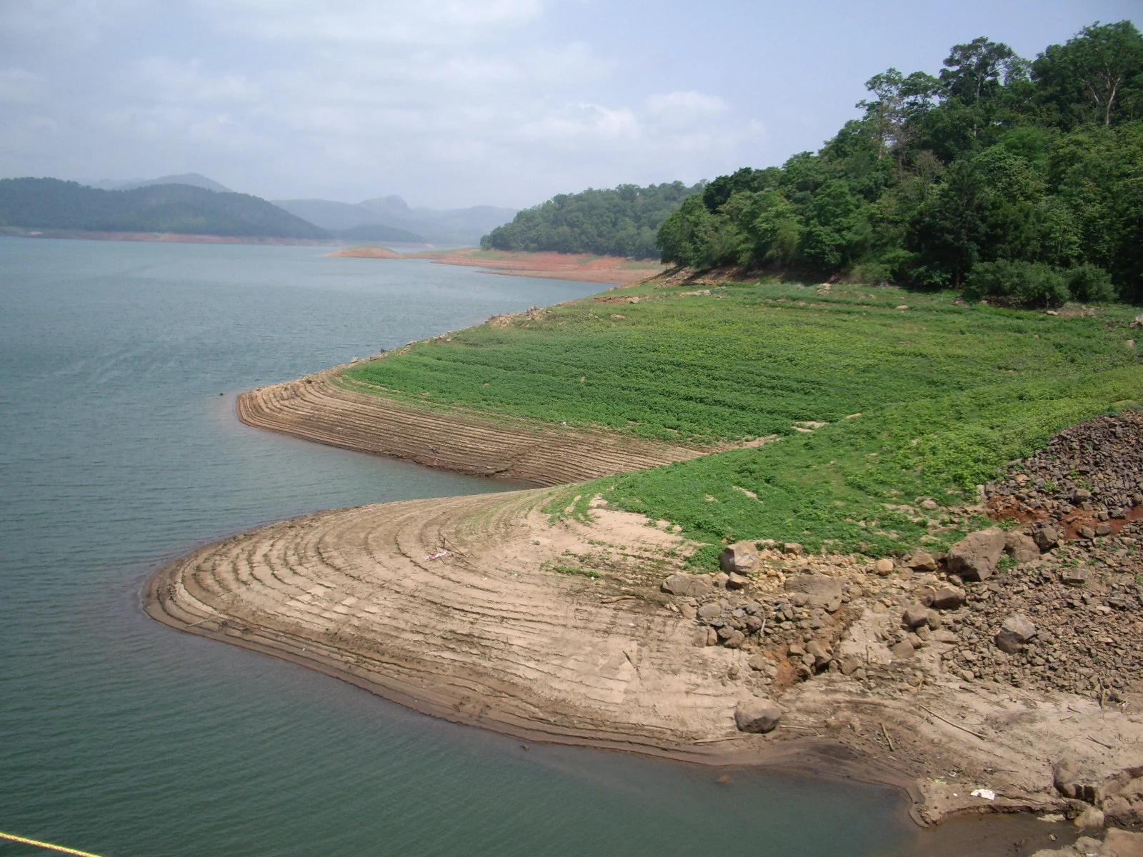
The name Anchuruli carries a way of looking at the reservoir. Kerala Tourism records an explanation connecting five landforms with inverted cooking vessels. It is a local reading of shape: rounded hill forms emerge from the water and invite comparison with familiar household objects.
A landscape explanation, not a fixed island count
The comparison works through outlines. A rounded piece of land rising above the reservoir can resemble the curved body of a vessel, especially when the water removes the lower slope from view. The eye supplies a familiar shape to make sense of a landscape partly submerged by storage water.
Treat this as the recorded explanation of the name rather than a guarantee that five separate islands will be visible. Water level changes how land connects across the scene. What appears isolated in one view may join a bank in another, while a lower form can disappear beneath the surface. A visitor does not need to count exactly five objects to appreciate the story.
Rounded hills and curved coves
The reservoir photograph offers several clues even without identifying the five forms. Wooded promontories reach into the water, and exposed banks draw pale curves below the trees. Across a cove, the far shore repeats a similar pattern on a different scale. These rounded edges are the natural shapes against which the tunnel’s near-circle stands out.
The contrast gives Anchuruli two kinds of geometry. The tunnel opening is a deliberate engineering form. The shore takes its outline from the terrain and the current water level. Looking between them makes the place more than a photograph of a dark hole: it becomes a meeting of an excavated route and a landscape whose visible boundaries continue to change.
Do not navigate to the name alone
Reservoir place names can attach to a locality, a viewpoint or a piece of land in the water. Anchuruli’s visitor side is reached through the Kattappana–Kanchiyar area. A map result for Anchuruli Thuruthu Island is not the arrival point for an exterior view of the tunnel. The shared name describes related geography without making the locations interchangeable.
Use the named visitor roadhead and retain that same point for the return. A promising shape across the water is something to observe, not a reason to cross exposed ground or find an improvised boat. The name’s vessel comparison belongs to interpretation; it does not supply an itinerary between islands.
There is room for a quieter stop here. Once the tunnel has been identified, spend a little time on the wider shore: where a cove narrows, how the vegetation line follows a slope, and which rounded forms sit beyond it. Those details are easy to overlook when the whole visit is organised around reaching the mouth of the tunnel.
The local name keeps attention on that wider scene. It brings an ordinary object into a large reservoir landscape and gives visitors a memorable way to read its forms. The explanation is most useful when it remains a story about shape, with the changing water and actual public approach kept clearly in view.
Name and destination context: Kerala Tourism’s Anchuruli feature.
Plan the visit: Anchuruli.