A nearly circular opening interrupts the rough rock wall at Anchuruli. Beyond it lies an engineered route through the hill; below it, water meets the irregular outline of a reservoir. The contrast between a measured opening and a changing shoreline is the place’s strongest visual feature.
The story of Anchuruli
The tunnel is easiest to understand as one end of a journey made by water. Erattayar lies upstream in the diversion system, and the opening at Anchuruli delivers that water towards Idukki reservoir. The dark interior can draw the eye like a cave, but the circular section and its purpose belong to civil engineering. The meaningful visitor view is from outside, where the outlet can be seen in relation to the rock face and the receiving water.
The rock around the opening has an uneven, blocky surface. Inside, the visible curve is more regular. This makes the boundary between excavated passage and surrounding hill legible even without a technical drawing. A close view concentrates on that geometry; a wider one shows how the water moves away from the opening towards the reservoir.
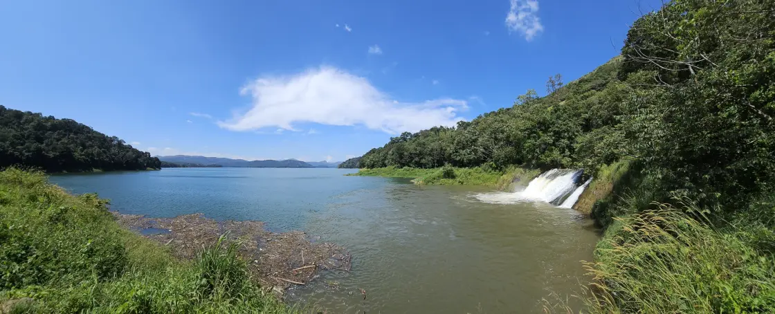
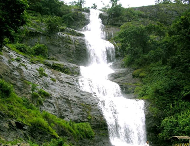
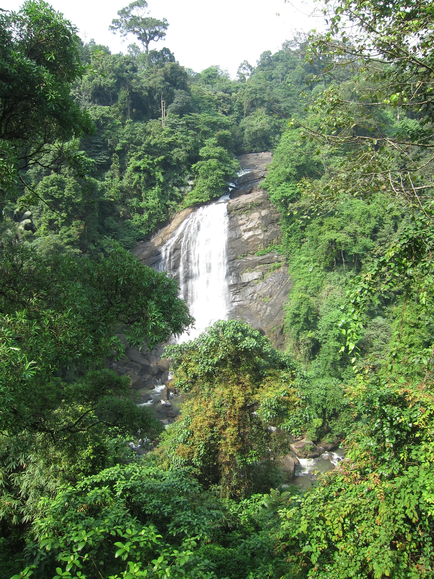
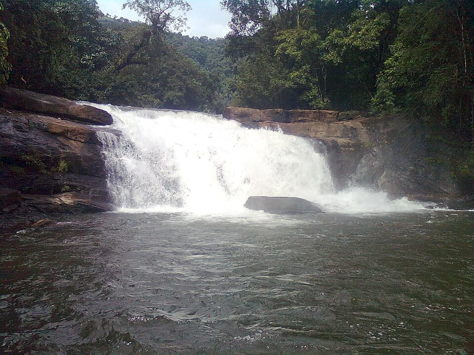
The short cascade below the outlet is not a second high waterfall hidden in the forest. In the photographs it runs over a broad sloping rock surface, at times as a narrow stream and at others as a wider white sheet. Water level and discharge determine how much of that surface remains visible. The same fixed rock can therefore produce very different-looking photographs.
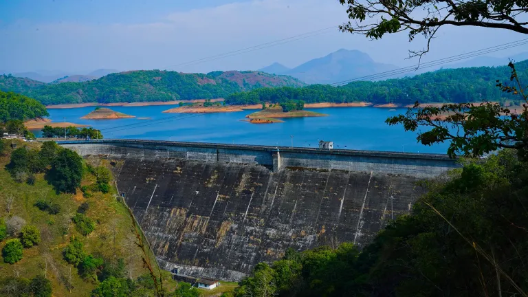
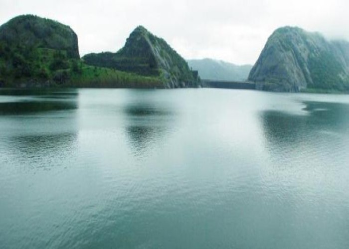
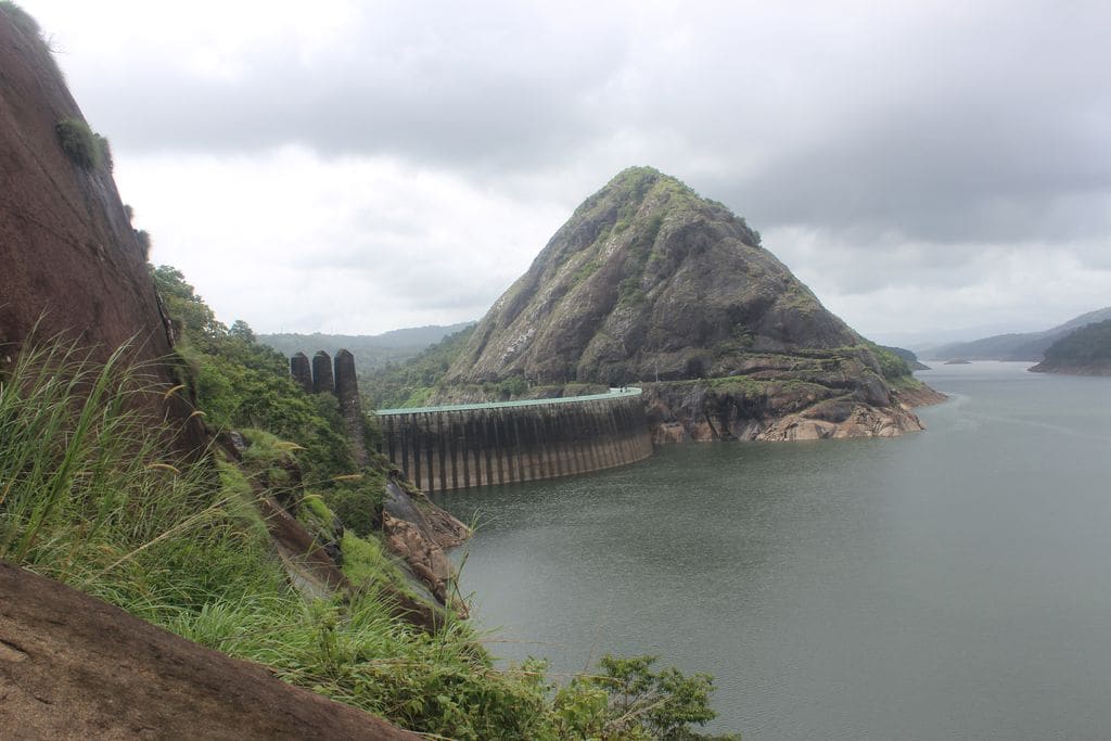
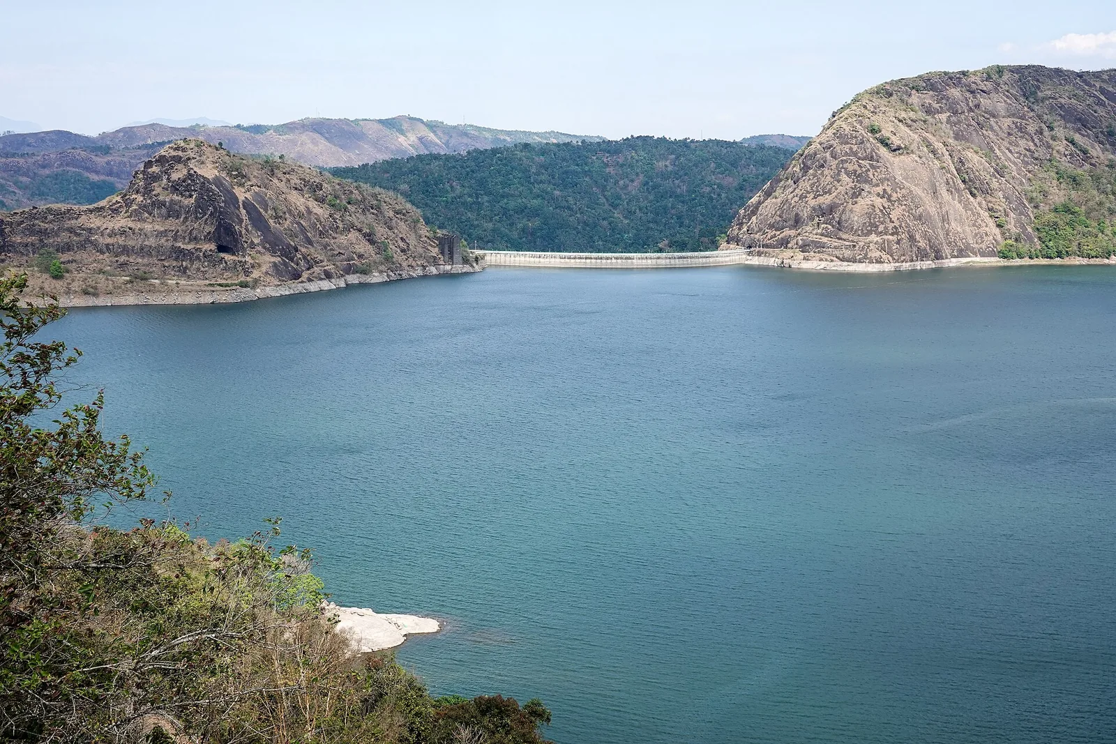
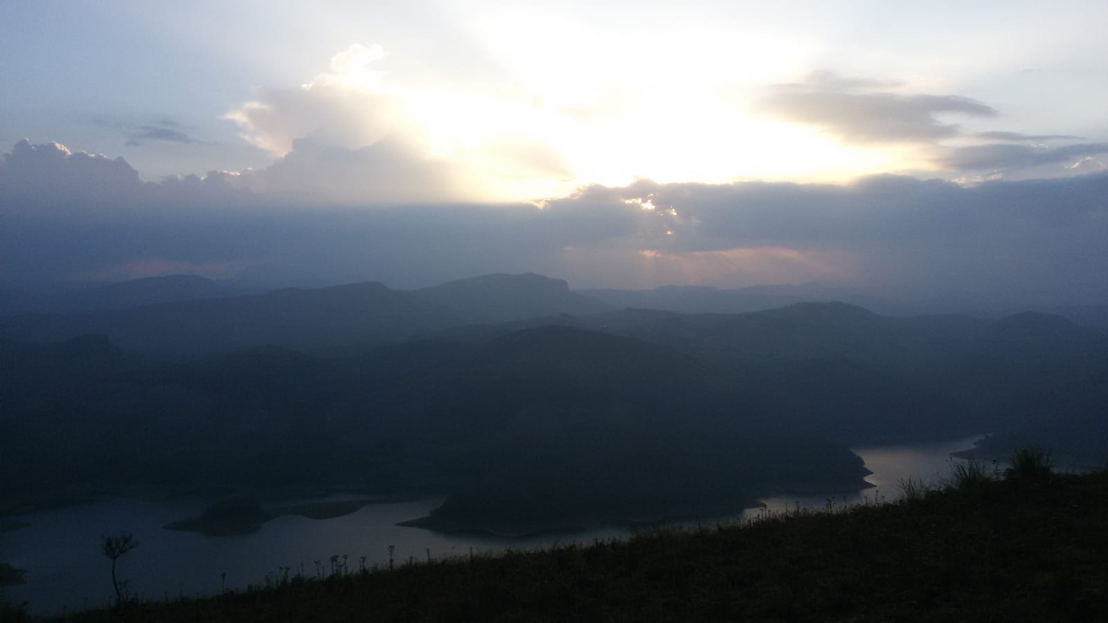
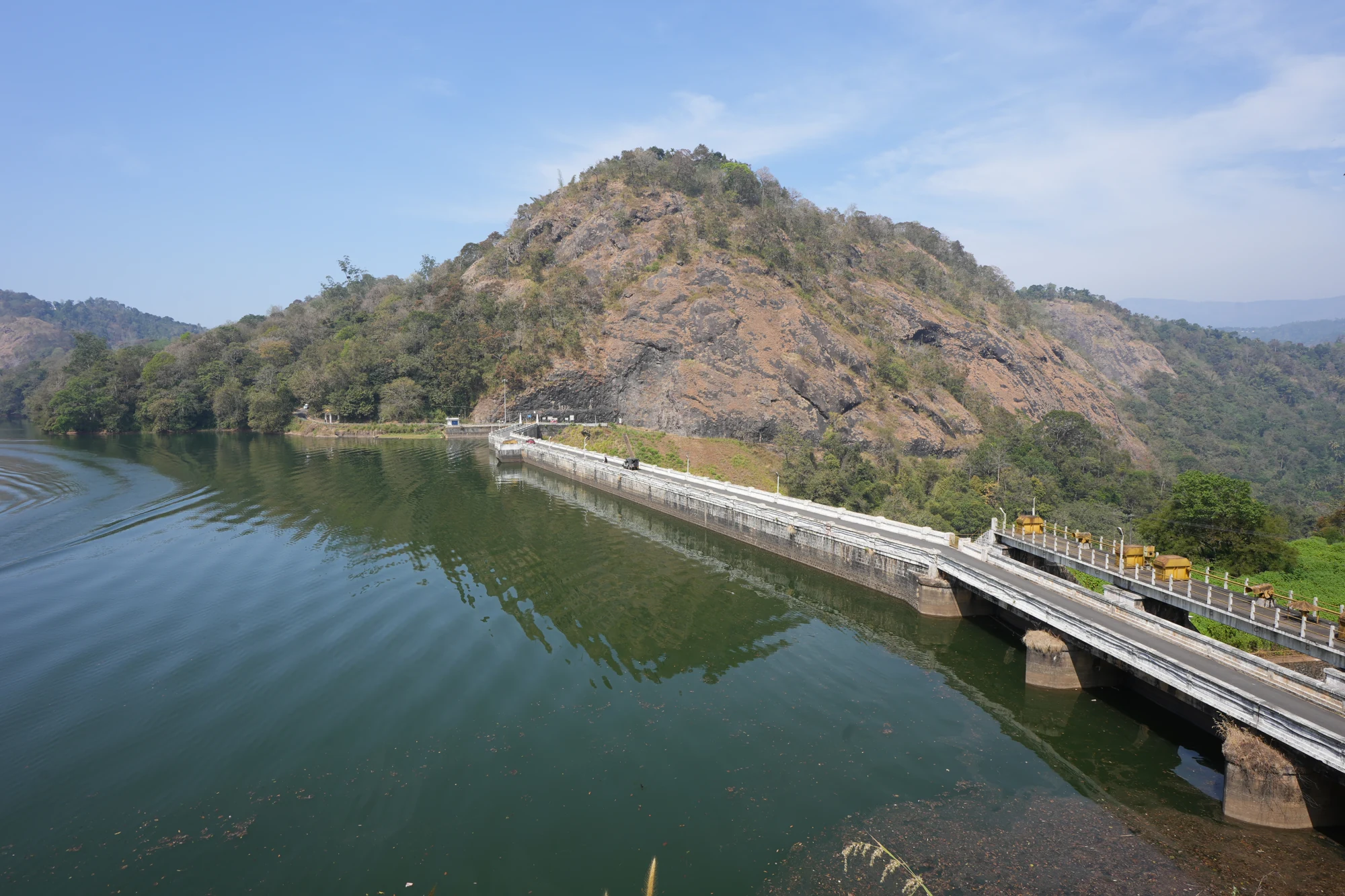
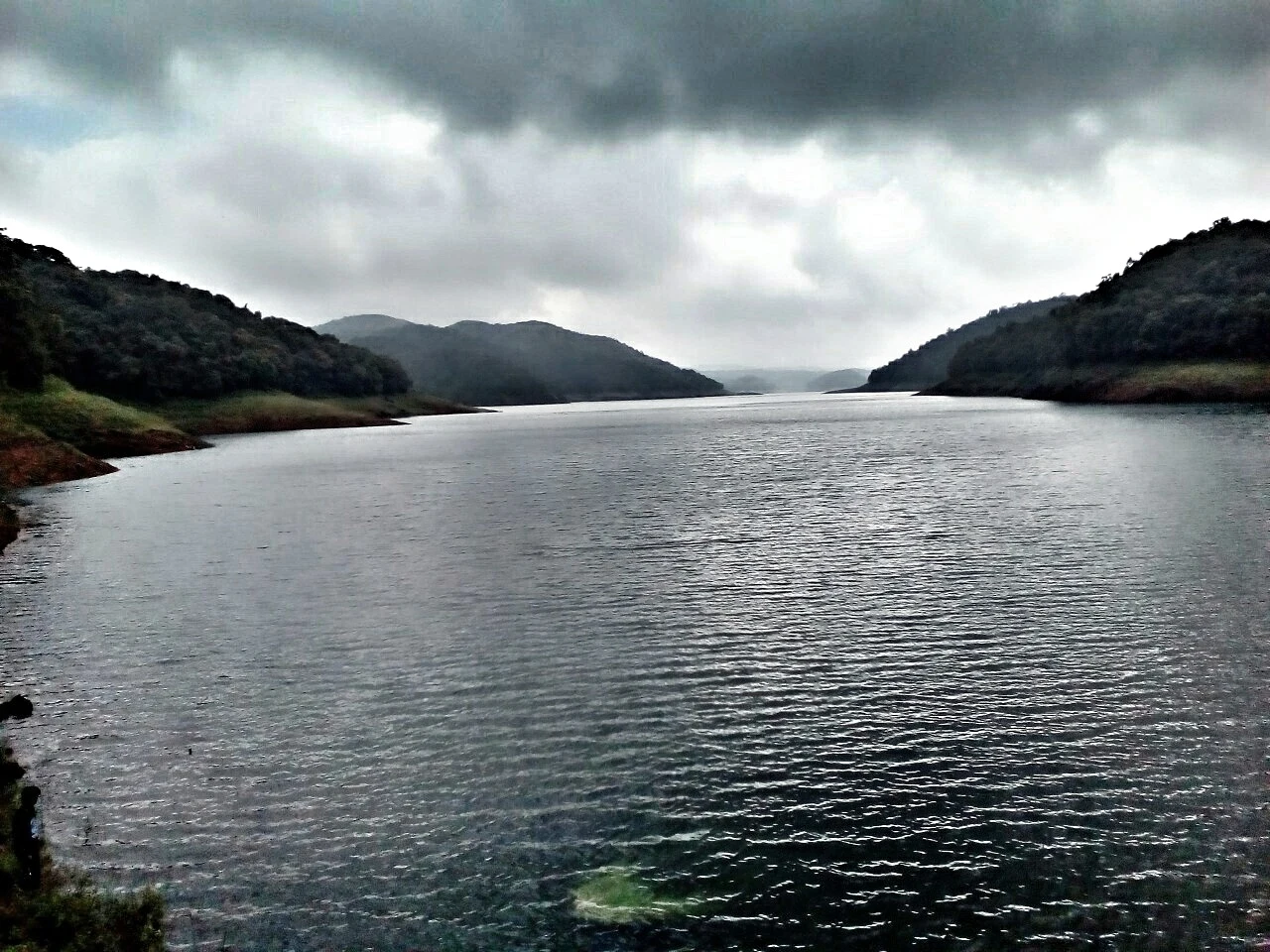
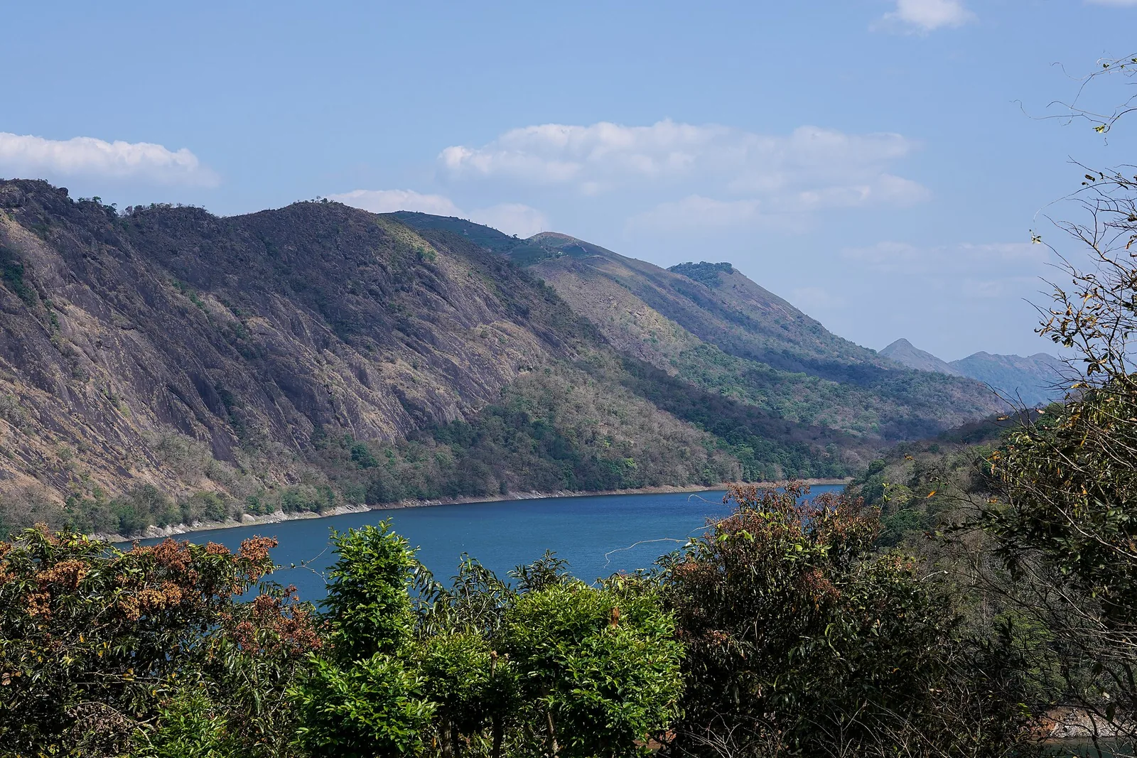
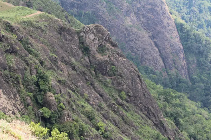
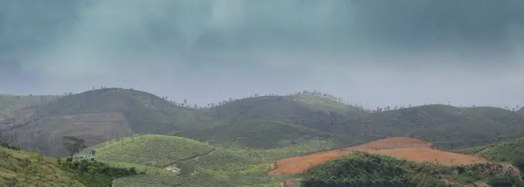
Turning towards the reservoir changes the scale of the visit. The near bank curves into points and shallow inlets, while wooded hills continue across the water. Bare horizontal bands mark the exposed margins in lower-water photographs. These are part of a fluctuating reservoir shore, not terraces built for visitors to descend.
Kerala Tourism records a local explanation of the name: five hill forms are likened to inverted cooking vessels when lower water reveals their outlines. This is a landscape interpretation associated with Anchuruli. It should not become a promise that exactly five separate islands will be visible on every visit, or an invitation to reach them across exposed ground.
The smaller channels also belong in the picture. The Irrigation Department’s Periyar basin report records Kattappanayar joining Idukki reservoir at Anjurali and describes Palakada thodu reaching the reservoir in the same locality. The water landscape is therefore wider than the single celebrated tunnel. The tunnel is an engineered contribution within a catchment that also receives local drainage.
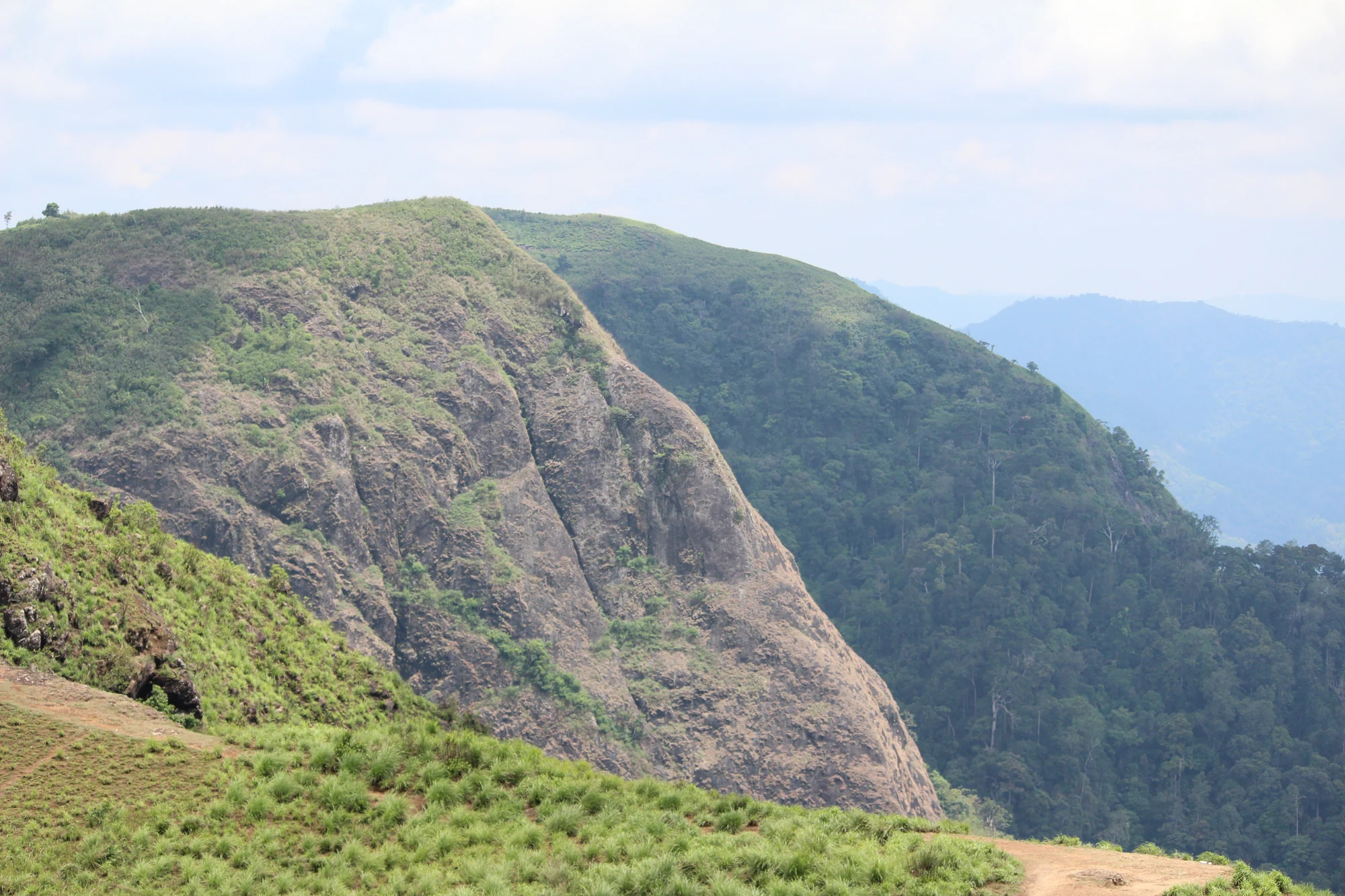
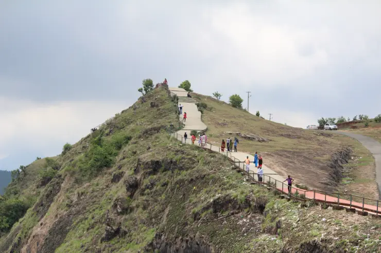
From the public side, the forested slopes create much of the setting, but the visible tree cover does not grant access to an unmarked trail. Kerala Tourism explicitly separates deeper forest exploration from the ordinary visit by requiring prior Forest Department permission. A reservoir viewpoint, a forest activity and access to an operating water structure should remain three different decisions.
Anchuruli also helps distinguish the two sides of Idukki’s power story. Water arriving here contributes to reservoir storage. Power generation takes place elsewhere in the system at Moolamattom, and the tailwater subsequently enters the Thodupuzha side. The outlet in front of a visitor is not a power-station entrance, nor is it the tunnel that releases water after generation.
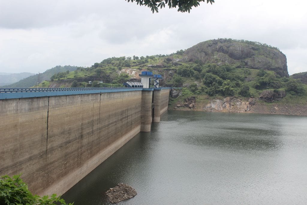
The road journey ends in a much smaller setting than the familiar large-dam circuit. There is no need to make Anchuruli impersonate a dam-top tour. Its interest lies in seeing a transfer tunnel, cascade and reservoir edge together, then understanding how they connect to a system whose other structures are spread across the district.