District guide

Idukki district

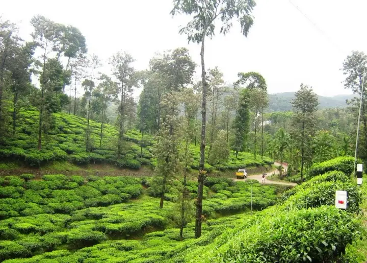
Idukki is a district of Kerala, home to Munnar, Vagamon, Thekkady. Browse its towns, famous tourist places, treks, beaches, temples, backwaters and local businesses. Hotels and homestays can list for free, and travellers contact them directly.

🗺️ Towns & attractions🥾 Treks & nature🍴 Local food🏡 Direct hotel & homestay contact
Idukki district
Overview

Idukki at a glance

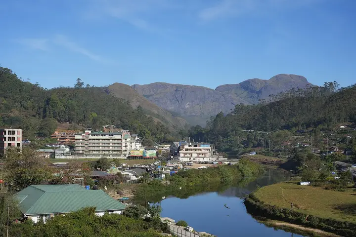
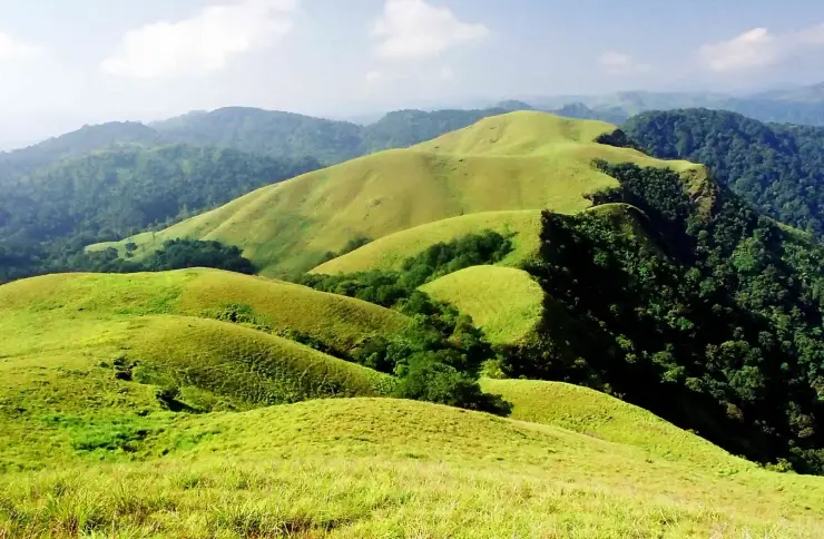
Idukki is a district of Kerala — High Western Ghats, tea & spice hills, with its headquarters at Painavu. It is best known for Munnar tea country, Thekkady/Periyar wildlife and the Cardamom Hills. Signature sights include Munnar tea estates, Periyar Tiger Reserve, Thekkady, Cardamom & spice plantations. The nearest airport is Cochin (COK), ~100–110 km and the main rail gateway is Kottayam (KTYM) or Ernakulam. October to March is the driest, most comfortable season; the June–September monsoon is lush, wet and often cheaper. Most travellers spend 2–3 days here, and while Malayalam is the local language, English is widely understood.

Best timeOctober – March (dry season)
Suggested stay2–3 days
Nearest airportCochin (COK), ~100–110 km
Rail gatewayKottayam (KTYM) or Ernakulam
District HQPainavu
LanguagesMalayalam · English widely used
When to go

Best time, weather & festivals in Idukki

October to March is the dry, comfortable season across Idukki; the June–September monsoon is green, wet and often cheaper. Live conditions below are for Painavu.

Weather in PainavuSeasonal guide

Live forecast loads in your browser.

🕒 Local time in Kerala
India Standard Time (IST)

Kerala festivals worth timing your trip around

Celebrated across Kerala, including Idukki. Dates shift with the Malayalam calendar — confirm the year's exact dates before booking.

  • Onam Aug – Sep — Kerala's 10-day harvest festival, with sadya feasts, boat races and flower carpets. (2026: Thiruvonam ~26 Aug.)
  • Thrissur Pooram Apr – May — The grandest temple festival — caparisoned elephants and percussion in Thrissur.
  • Vishu April — Malayalam New Year, marked by the Vishukkani arrangement.
  • Theyyam season Dec – Apr — Hypnotic ritual performance art across North Kerala temples.
  • Nehru Trophy Boat Race August — Giant snake-boats race on Punnamada Lake, Alleppey. (Date moves yearly — 2026: ~22 Aug.)
Map

Map of Idukki

Every place on this guide with a verified location. Tap a pin for its name and guide link.

Stay · eat · do · rent · see · shop

Places in Idukki

Every verified place across Idukki district — filter by what you’re after.

Munnar — Hill Station in Munnar
Top pick Verified
Hill Station · Munnar
Munnar

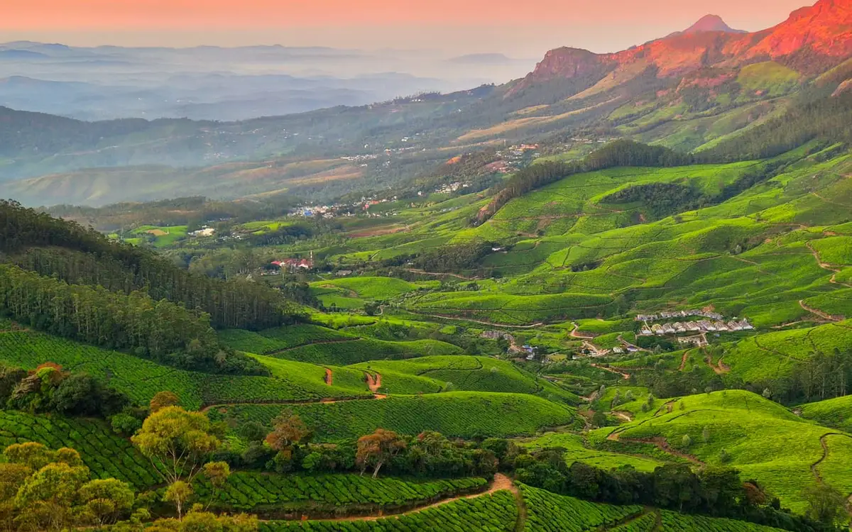
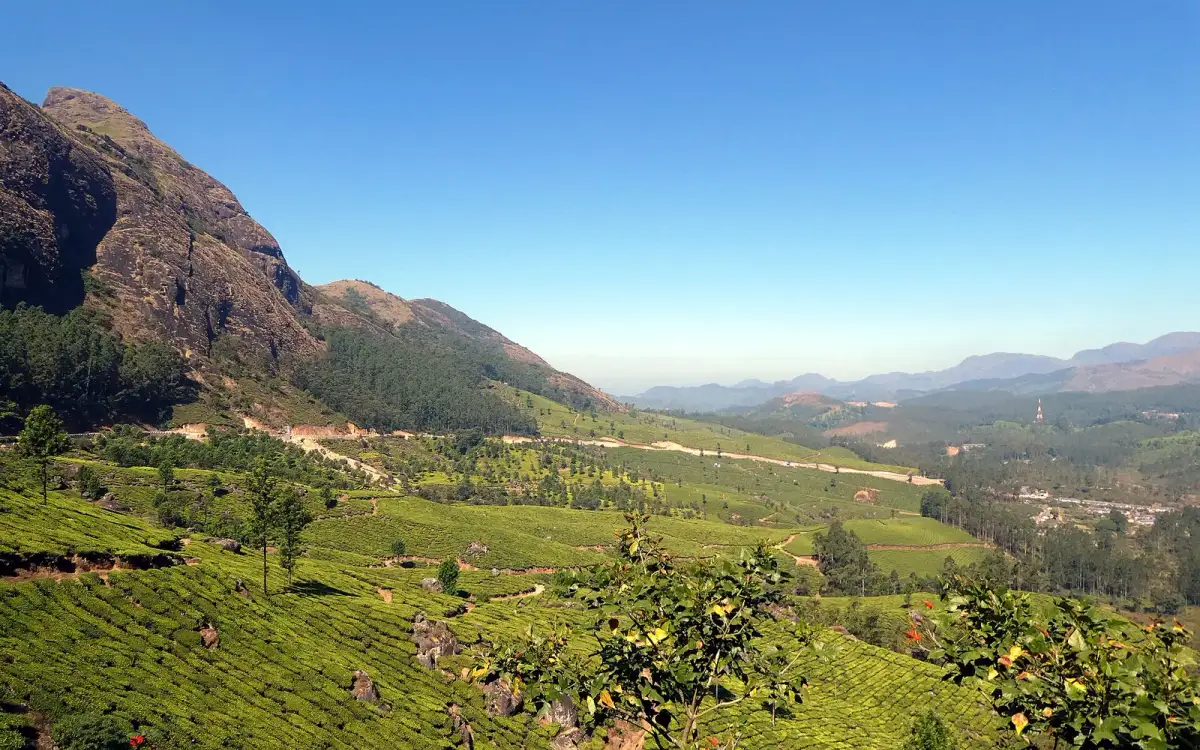
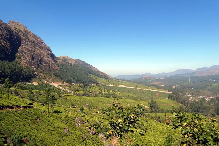
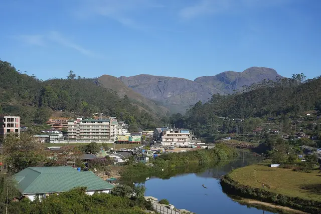
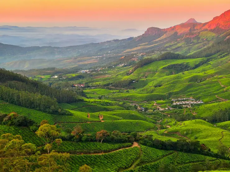
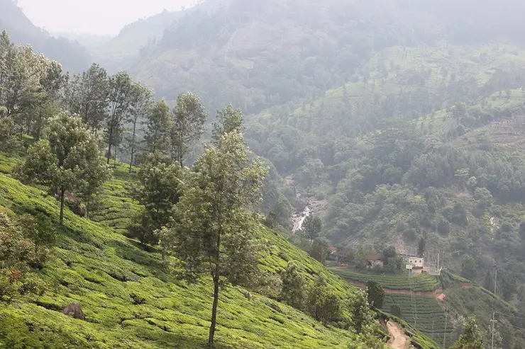
Kerala’s most famous hill station, known for tea estates, viewpoints and cool weather. This hill station guide belongs to the Munnar planning base in Idukki, Kerala, with route context, best-time notes and verified inventory categories for stays, food, operators, shops, wellness and transport as they are approved.

View guide
Eravikulam National Park — Wildlife in Munnar
Top pick Verified
Wildlife · Munnar
Eravikulam National Park

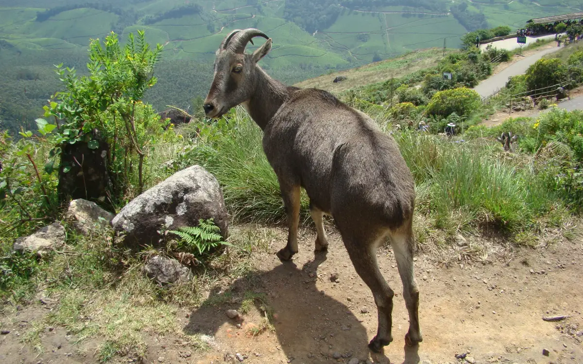
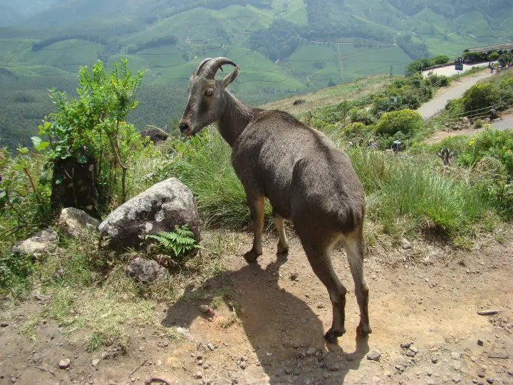
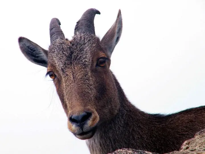
High-altitude grassland park, Nilgiri tahr habitat and access point for Anamudi views. This wildlife guide belongs to the Munnar planning base in Idukki, Kerala, with route context, best-time notes and verified inventory categories for stays, food, operators, shops, wellness and transport as they are approved.

View guide
Anamudi Peak — Viewpoint in Munnar
Verified
Viewpoint · Munnar
Anamudi Peak

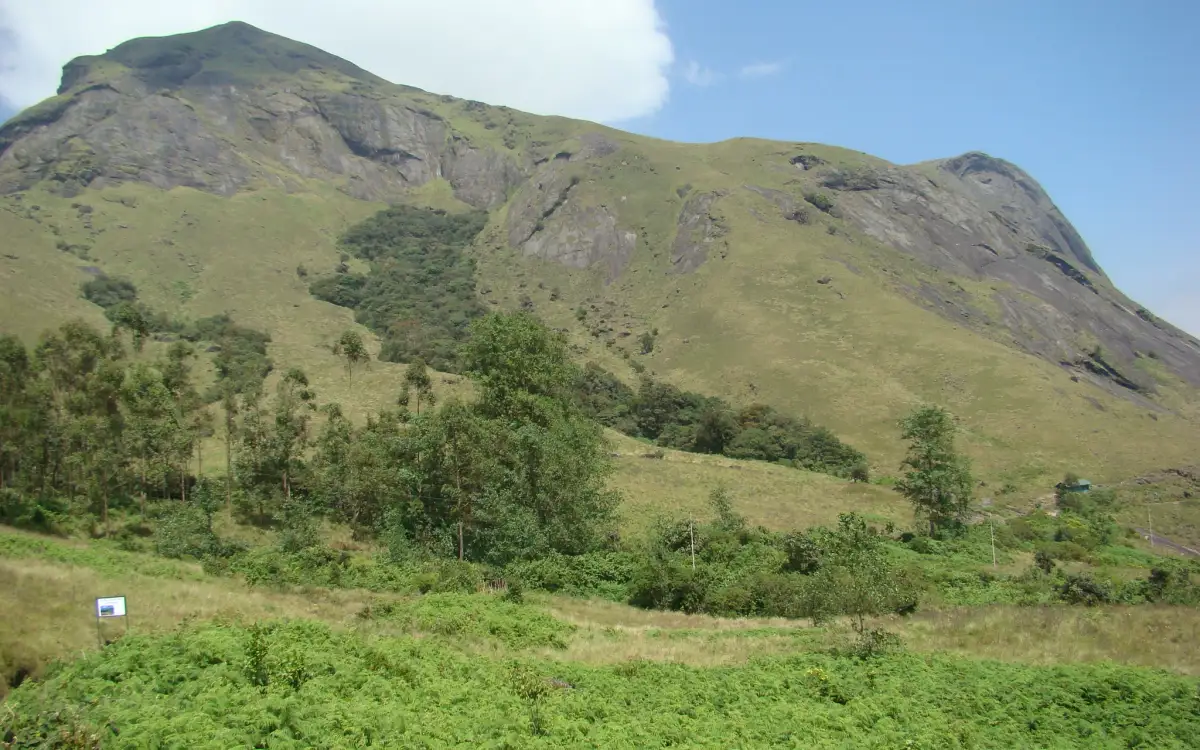
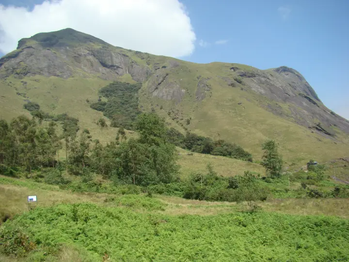
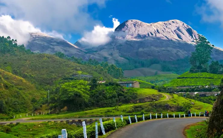
The highest peak in South India, viewed through Eravikulam/Rajamala access contexts near Munnar. This viewpoint guide belongs to the Munnar planning base in Idukki, Kerala, with route context, best-time notes and verified inventory categories for stays, food, operators, shops, wellness and transport as they are approved.

View guide
Rajamala — Wildlife in Munnar
Verified
Wildlife · Munnar
Rajamala

Rajamala is the designated tourism and awareness zone of Eravikulam National Park near Munnar. It is not a separate unrestricted summit trek or the whole national park. This wildlife guide belongs to the Munnar planning base in Idukki, Kerala, with route context, best-time notes and verified inventory categories for stays, food, operators, shops, wellness and transport as they are approved.

View guide
Tea Museum — Museum in Munnar
Verified Historic
Museum · Munnar
Tea Museum

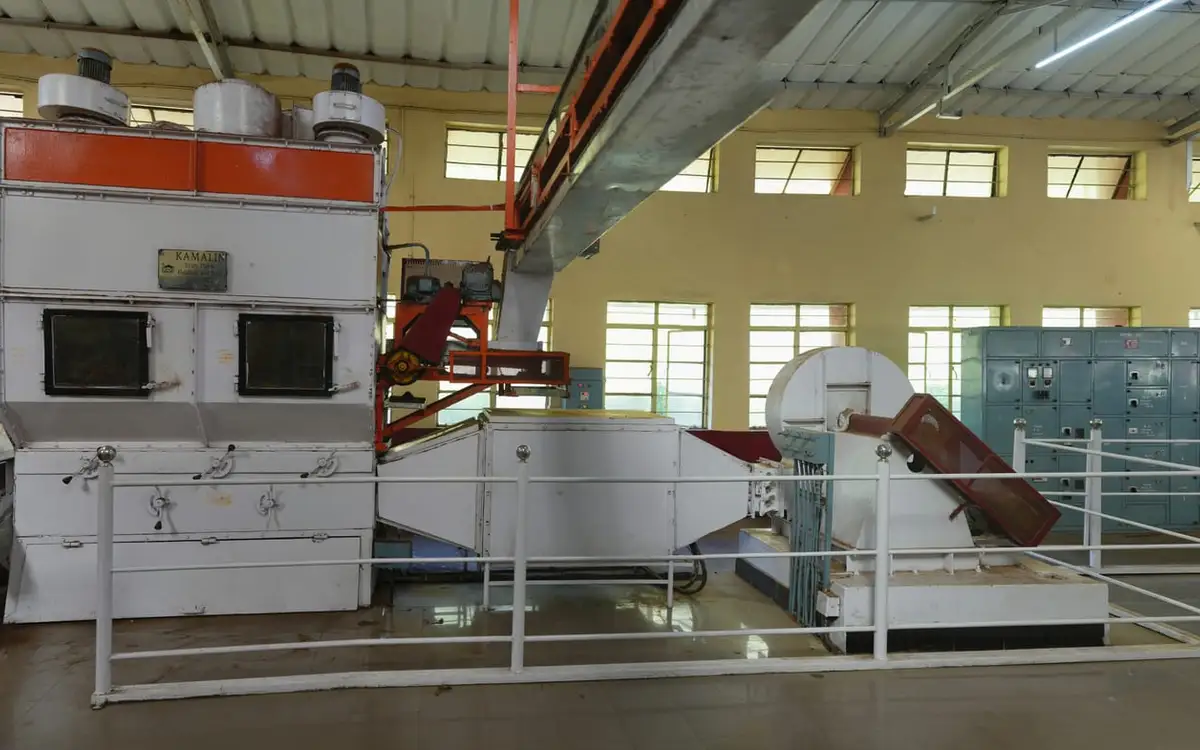
Tea-history museum in Munnar linked with the plantation story of the high ranges. This museum guide belongs to the Munnar planning base in Idukki, Kerala, with route context, best-time notes and verified inventory categories for stays, food, operators, shops, wellness and transport as they are approved.

View guide
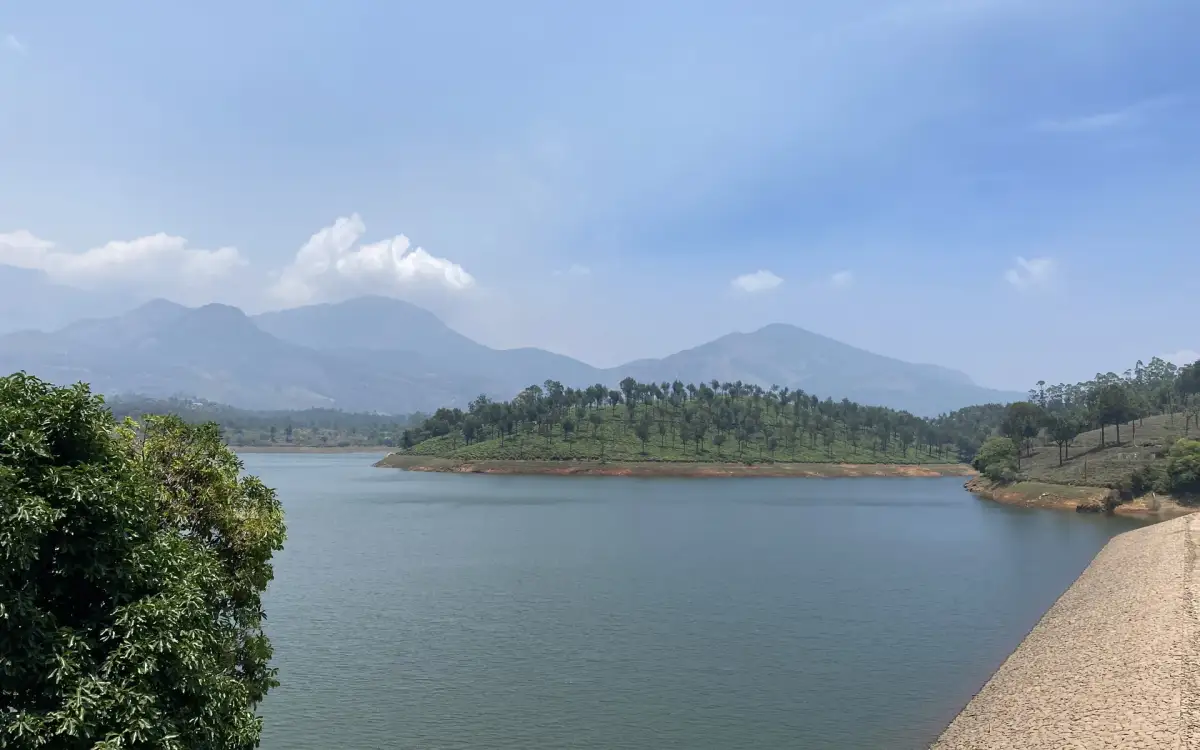
Mattupetty Dam — Dam in Munnar
Verified
Dam · Munnar
Mattupetty Dam

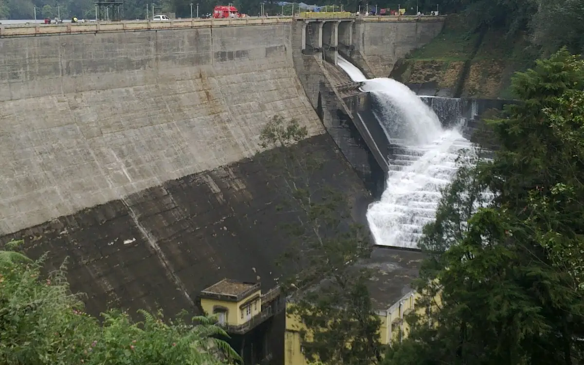
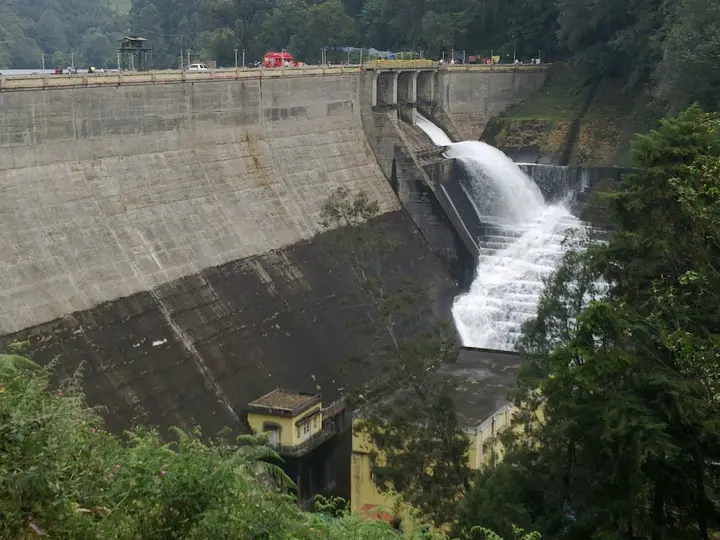
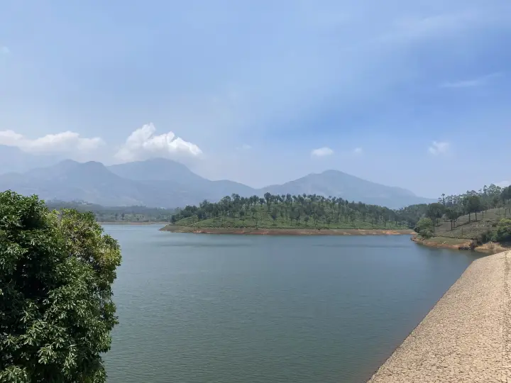
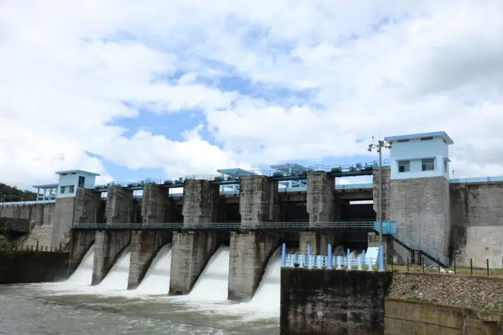
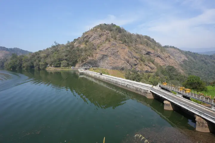
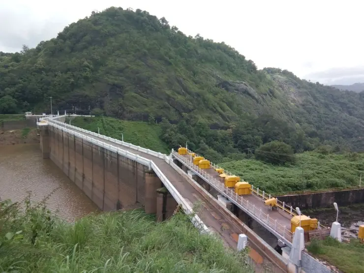
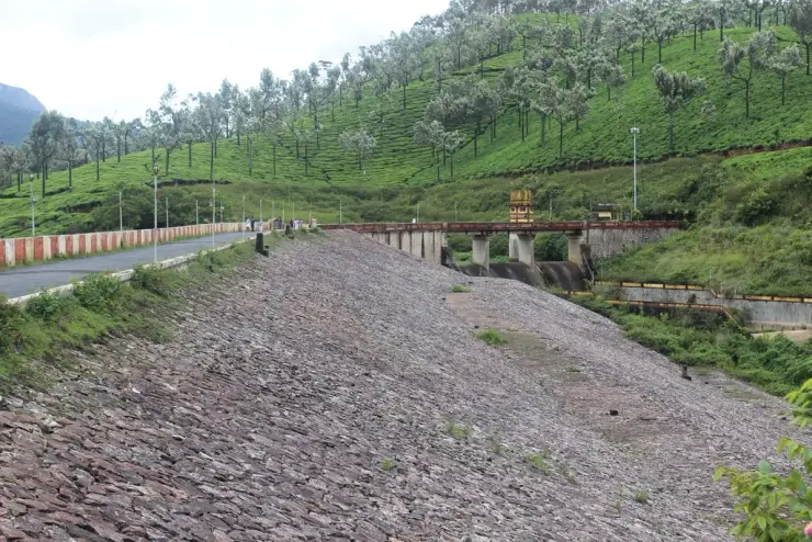
Reservoir, boating and lake-view stop on the Munnar-Mattupetty sightseeing circuit, usually paired with Echo Point and Kundala. This dam guide belongs to the Munnar planning base in Idukki, Kerala, with route context, best-time notes and verified inventory categories for stays, food, operators, shops, wellness and transport as they are approved.

View guide
Echo Point — Viewpoint in Munnar
Verified
Viewpoint · Munnar
Echo Point

Popular Munnar lakeside viewpoint on the Mattupetty-Kundala route, useful for short stops, photos and family sightseeing. This viewpoint guide belongs to the Munnar planning base in Idukki, Kerala, with route context, best-time notes and verified inventory categories for stays, food, operators, shops, wellness and transport as they are approved.

View guide
Kundala Lake — Dam in Munnar
Verified
Dam · Munnar
Kundala Lake

High-range lake and dam stop beyond Mattupetty on the Top Station route. This dam guide belongs to the Munnar planning base in Idukki, Kerala, with route context, best-time notes and verified inventory categories for stays, food, operators, shops, wellness and transport as they are approved.

View guide
Top Station — Viewpoint in Munnar
Verified
Viewpoint · Munnar
Top Station

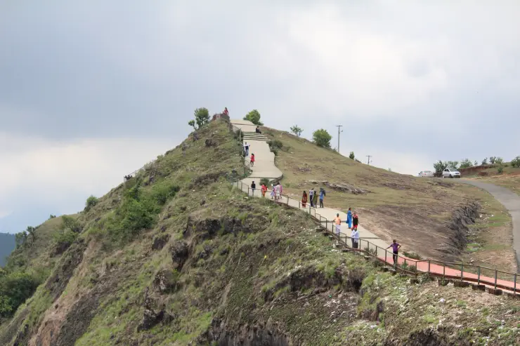
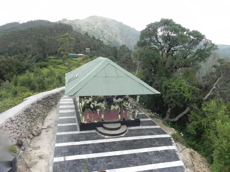
A border-highland viewpoint in Theni, Tamil Nadu, normally approached through Munnar, Mattupetty and Kundala; named for the former tea-transport terminus, with a separate stepped viewpoint walk. This viewpoint guide belongs to the Munnar planning base in Idukki, Kerala, with route context, best-time notes and verified inventory categories for stays, food, operators, shops, wellness and transport as they are approved.

View guide
Meesapulimala trek — Trek in Munnar
Verified
Trek · Munnar
Meesapulimala trek

Popular high-altitude Western Ghats trek, usually booked through official eco-tourism channels. This trek guide belongs to the Munnar planning base in Idukki, Kerala, with route context, best-time notes and verified inventory categories for stays, food, operators, shops, wellness and transport as they are approved.

View guide
Kolukkumalai — Viewpoint in Munnar
Verified
Viewpoint · Munnar
Kolukkumalai

High tea-estate sunrise viewpoint reached by jeep from the Munnar side. This viewpoint guide belongs to the Munnar planning base in Idukki, Kerala, with route context, best-time notes and verified inventory categories for stays, food, operators, shops, wellness and transport as they are approved.

View guide
Chinnar Wildlife Sanctuary — Wildlife in Munnar
Verified
Wildlife · Munnar
Chinnar Wildlife Sanctuary

Dry-forest wildlife sanctuary on the Marayoor-Udumalpet side of Idukki. This wildlife guide belongs to the Munnar planning base in Idukki, Kerala, with route context, best-time notes and verified inventory categories for stays, food, operators, shops, wellness and transport as they are approved.

View guide
Marayoor — Heritage in Munnar
Verified Historic
Heritage · Munnar
Marayoor

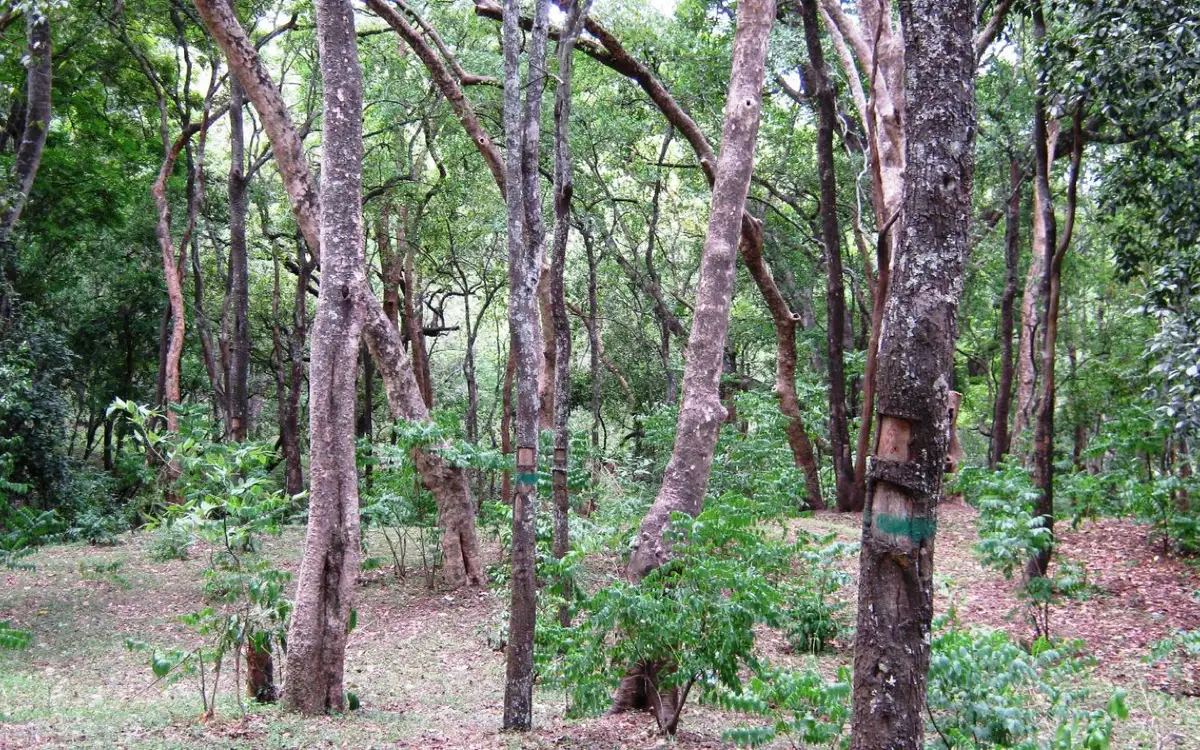
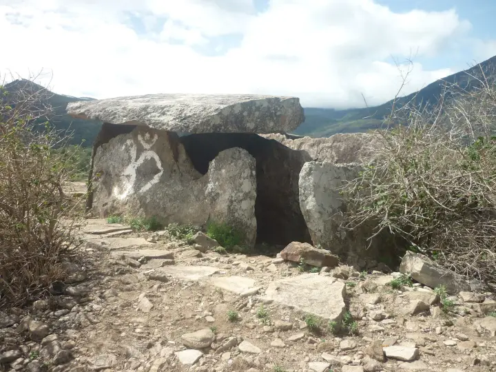
High-range village known for natural sandalwood forests, dolmens and sugarcane jaggery. This heritage guide belongs to the Munnar planning base in Idukki, Kerala, with route context, best-time notes and verified inventory categories for stays, food, operators, shops, wellness and transport as they are approved.

View guide
Pambadum Shola National Park — Wildlife in Munnar
Verified
Wildlife · Munnar
Pambadum Shola National Park

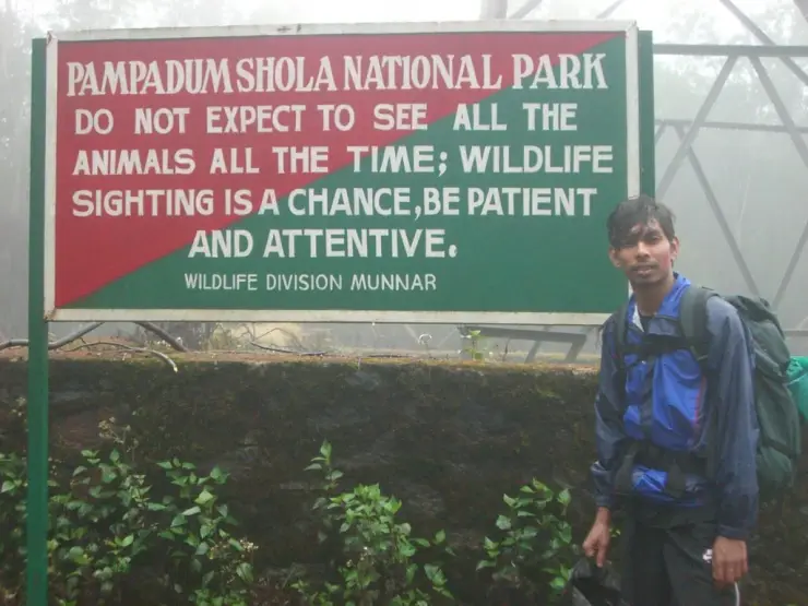
Pampadum Shola National Park protects high-elevation forest beside the Top Station–Vattavada road. The Top Station forest check post is the reporting anchor here; forest stays and guided walks require their own confirmed arrangements. This wildlife guide belongs to the Munnar planning base in Idukki, Kerala, with route context, best-time notes and verified inventory categories for stays, food, operators, shops, wellness and transport as they are approved.

View guide
Anamudi Shola — Wildlife in Munnar
Verified
Wildlife · Munnar
Anamudi Shola

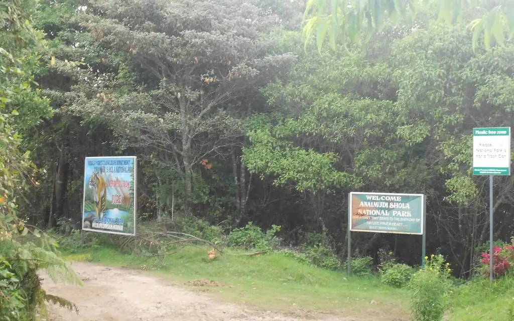
Anamudi Shola National Park protects Mannavan, Pullaradi and Idivara shola forests in the Kanthalloor–Vattavada high ranges. Methappu is the visitor anchor on this page; this is not Anamudi Peak or the Rajamala visitor area. This wildlife guide belongs to the Munnar planning base in Idukki, Kerala, with route context, best-time notes and verified inventory categories for stays, food, operators, shops, wellness and transport as they are approved.

View guide
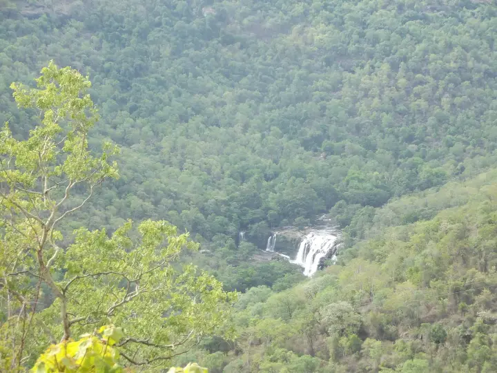
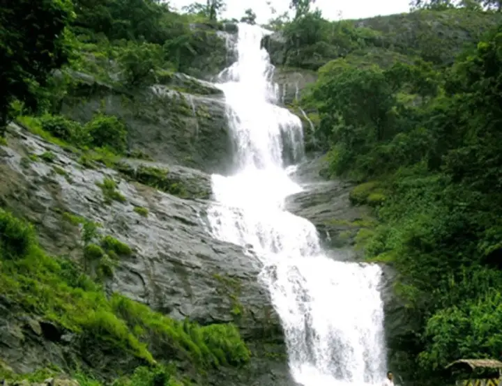
Lakkam Waterfalls — Waterfall in Munnar
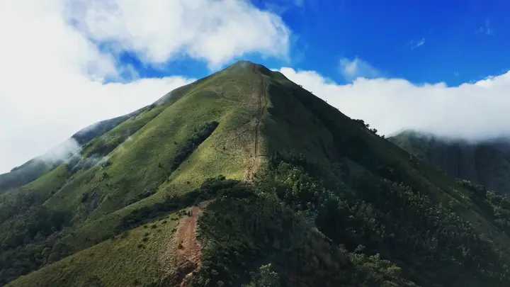
Verified
Waterfall · Munnar
Lakkam Waterfalls

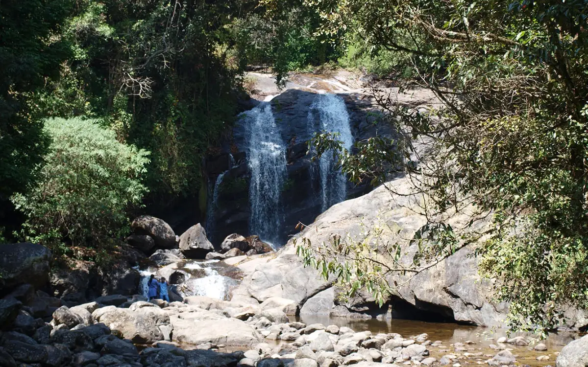
Waterfall stop on the Munnar-Marayoor route, usually paired with Eravikulam and Marayoor days. This waterfall guide belongs to the Munnar planning base in Idukki, Kerala, with route context, best-time notes and verified inventory categories for stays, food, operators, shops, wellness and transport as they are approved.

View guide
Attukad Waterfalls — Waterfall in Munnar
Verified
Waterfall · Munnar
Attukad Waterfalls

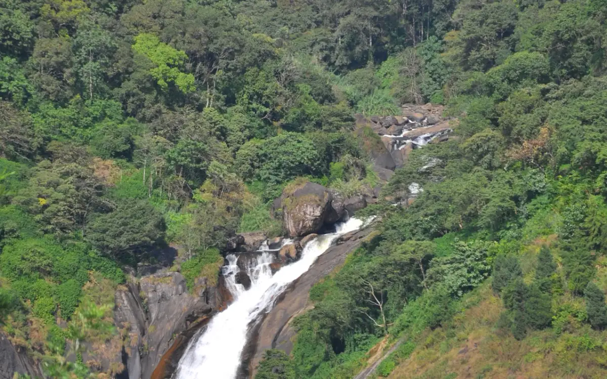
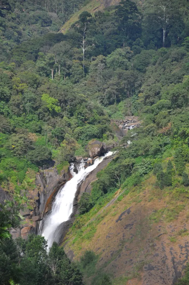
Waterfall area near Munnar commonly used for short scenic drives and monsoon views. This waterfall guide belongs to the Munnar planning base in Idukki, Kerala, with route context, best-time notes and verified inventory categories for stays, food, operators, shops, wellness and transport as they are approved.

View guide
Lockhart Gap — Viewpoint in Munnar
Verified
Viewpoint · Munnar
Lockhart Gap

The pass itself on the Munnar–Bodimettu highway, where the ridge drops away east — and the lay-by the Chokramudi Peak trek reports from, 51 m from the forest counter. A second, busier viewpoint signed "Lockhart Gap Road View Point" sits 1.7 km east. This viewpoint guide belongs to the Munnar planning base in Idukki, Kerala, with route context, best-time notes and verified inventory categories for stays, food, operators, shops, wellness and transport as they are approved.

View guide
Anayirankal Dam — Dam in Munnar
Verified
Dam · Munnar
Anayirankal Dam

Anayirankal is a KSEB earth-and-rockfill dam and reservoir in the Panniyar hydel system near Chinnakanal and Santhanpara. The map identifies the published hydel visitor-centre marker; boating is not currently assured. This dam guide belongs to the Munnar planning base in Idukki, Kerala, with route context, best-time notes and verified inventory categories for stays, food, operators, shops, wellness and transport as they are approved.

View guide
Power House Waterfalls — Waterfall in Munnar
Verified
Waterfall · Munnar
Power House Waterfalls

Waterfall in Munnar. Waterfall, Idukki.

View guide
Blossom Hydel Park — Viewpoint in Munnar
Verified
Viewpoint · Munnar
Blossom Hydel Park

The Kerala State Electricity Board’s riverside flower park on the Munnar–Aluva road, 3.3 km below Munnar town and 1.2 km from the KSRTC stand at Old Munnar. It runs along the east bank of the Muthirapuzha immediately above the 1944 R. A. Headworks weir that feeds Pallivasal, Kerala’s first hydroelectric station — which is what the "hydel" in the name means. Open daily 09:15 to 20:15 with tickets sold online by Kerala Hydel Tourism Centre. This viewpoint guide belongs to the Munnar planning base in Idukki, Kerala, with route context, best-time notes and verified inventory categories for stays, food, operators, shops, wellness and transport as they are approved.

View guide
Devikulam / Sita Devi Lake — Hill Station in Munnar
Verified
Hill Station · Munnar
Devikulam / Sita Devi Lake

Hill-station and lake landscape near Munnar associated with Devikulam and Sita Devi, best planned as a quieter high-range side trip. This hill station guide belongs to the Munnar planning base in Idukki, Kerala, with route context, best-time notes and verified inventory categories for stays, food, operators, shops, wellness and transport as they are approved.

View guide
Nayamakad Waterfalls — Waterfall in Munnar
Verified
Waterfall · Munnar
Nayamakad Waterfalls

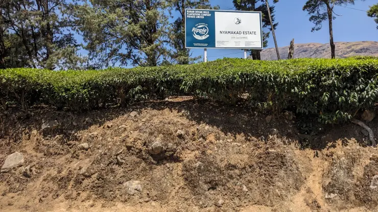
Nyayamakad, also called Nayamakad, is the waterfall and tea-estate landscape on the Munnar–Rajamala approach. The map uses the identifiable Nyamakad roadside stream-view base, not a waterfall lip, pool entrance or estate walking permit. This waterfall guide belongs to the Munnar planning base in Idukki, Kerala, with route context, best-time notes and verified inventory categories for stays, food, operators, shops, wellness and transport as they are approved.

View guide
Chokramudi Peak trek — Trek in Munnar
Verified
Trek · Munnar
Chokramudi Peak trek

Forest Department peak trek from the counter at Gap Road, 13.2 km from Munnar: a mapped 2.09 km path climbing about 460 m of grassland and shola to a summit whose altitude four sources disagree about. This trek guide belongs to the Munnar planning base in Idukki, Kerala, with route context, best-time notes and verified inventory categories for stays, food, operators, shops, wellness and transport as they are approved.

View guide

Book with the place itself. India’s cyber-crime coordination centre warned in April 2025 that convincing copies of hotel and pilgrimage booking sites are being pushed through sponsored search and social ads, taking payment for rooms the property never hears about. Every listing here links to the business’s own contact details and its own Google or Bing profile — we take no commission and sit in nobody’s payment path. If a booking page reached you through an ad, check the address bar against the property’s own site before you pay. Fraud can be reported on cybercrime.gov.in or on 1930.

Guidebook places

Famous tourist places and treks in Idukki

A practical tourist-guide list for the district. Full place pages, hotels, homestays, restaurants and local operators are added progressively under each town or attraction.

trek
trek

Amrithamedu

A Peerumedu ridge walk through plantation and high-range scenery, with access dependent on the chosen trail, land permission and current weather. This trek guide belongs to the Idukki and Cheruthoni planning base in Idukki, Kerala, with route context, best-time notes and verified inventory categories for stays, food, operators, shops, wellness and transport as they are approved.

Peerumedu
Open guide →
heritage
heritage

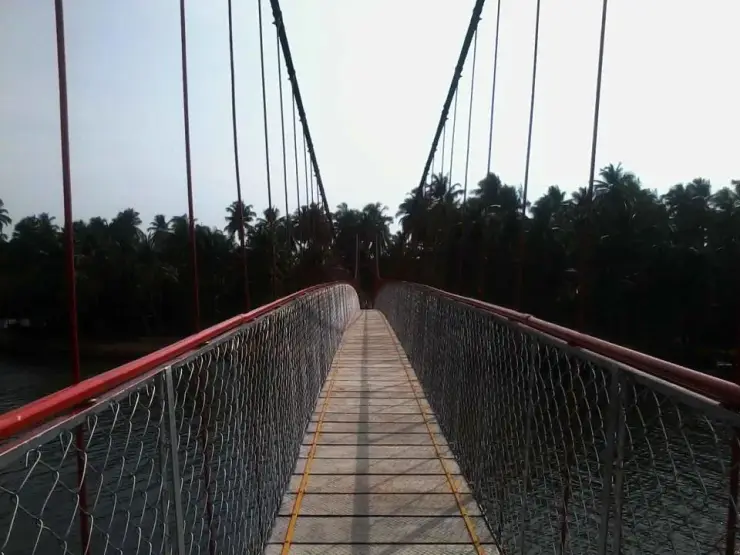
Ayyappancoil Hanging Bridge

The long pedestrian suspension bridge above the Idukki reservoir at Ayyappancoil, valued for water and hill views as well as the crossing itself. This heritage guide belongs to the Idukki and Cheruthoni planning base in Idukki, Kerala, with route context, best-time notes and verified inventory categories for stays, food, operators, shops, wellness and transport as they are approved.

Open guide →
waterfall
waterfall

Madammakkulam Waterfalls

A secluded waterfall below Kuttikkanam whose approach has depended on estate tracks and regulated jeep routes; current legal access must be established first. This waterfall guide belongs to the Idukki and Cheruthoni planning base in Idukki, Kerala, with route context, best-time notes and verified inventory categories for stays, food, operators, shops, wellness and transport as they are approved.

Peerumedu
Open guide →
Munnar, Idukkihill station
hill station

Munnar

Kerala’s most famous hill station, known for tea estates, viewpoints and cool weather. This hill station guide belongs to the Munnar planning base in Idukki, Kerala, with route context, best-time notes and verified inventory categories for stays, food, operators, shops, wellness and transport as they are approved.

Open guide →
Eravikulam National Park, Idukkiwildlife
wildlife

Eravikulam National Park

High-altitude grassland park, Nilgiri tahr habitat and access point for Anamudi views. This wildlife guide belongs to the Munnar planning base in Idukki, Kerala, with route context, best-time notes and verified inventory categories for stays, food, operators, shops, wellness and transport as they are approved.

Open guide →
Anamudi Peak, Idukkiviewpoint
viewpoint

Anamudi Peak

The highest peak in South India, viewed through Eravikulam/Rajamala access contexts near Munnar. This viewpoint guide belongs to the Munnar planning base in Idukki, Kerala, with route context, best-time notes and verified inventory categories for stays, food, operators, shops, wellness and transport as they are approved.

Open guide →
Rajamala, Idukkiwildlife
wildlife

Rajamala

Rajamala is the designated tourism and awareness zone of Eravikulam National Park near Munnar. It is not a separate unrestricted summit trek or the whole national park. This wildlife guide belongs to the Munnar planning base in Idukki, Kerala, with route context, best-time notes and verified inventory categories for stays, food, operators, shops, wellness and transport as they are approved.

Open guide →
Tea Museum, Idukkimuseum
museum

Tea Museum

Tea-history museum in Munnar linked with the plantation story of the high ranges. This museum guide belongs to the Munnar planning base in Idukki, Kerala, with route context, best-time notes and verified inventory categories for stays, food, operators, shops, wellness and transport as they are approved.

Open guide →
Mattupetty Dam, Idukkidam
dam

Mattupetty Dam

Reservoir, boating and lake-view stop on the Munnar-Mattupetty sightseeing circuit, usually paired with Echo Point and Kundala. This dam guide belongs to the Munnar planning base in Idukki, Kerala, with route context, best-time notes and verified inventory categories for stays, food, operators, shops, wellness and transport as they are approved.

Open guide →
Echo Point, Idukkiviewpoint
viewpoint

Echo Point

Popular Munnar lakeside viewpoint on the Mattupetty-Kundala route, useful for short stops, photos and family sightseeing. This viewpoint guide belongs to the Munnar planning base in Idukki, Kerala, with route context, best-time notes and verified inventory categories for stays, food, operators, shops, wellness and transport as they are approved.

Open guide →
Kundala Lake, Idukkidam
dam

Kundala Lake

High-range lake and dam stop beyond Mattupetty on the Top Station route. This dam guide belongs to the Munnar planning base in Idukki, Kerala, with route context, best-time notes and verified inventory categories for stays, food, operators, shops, wellness and transport as they are approved.

Open guide →
Top Station, Idukkiviewpoint
viewpoint

Top Station

A border-highland viewpoint in Theni, Tamil Nadu, normally approached through Munnar, Mattupetty and Kundala; named for the former tea-transport terminus, with a separate stepped viewpoint walk. This viewpoint guide belongs to the Munnar planning base in Idukki, Kerala, with route context, best-time notes and verified inventory categories for stays, food, operators, shops, wellness and transport as they are approved.

Open guide →
Meesapulimala trek, Idukkitrek
trek

Meesapulimala trek

Popular high-altitude Western Ghats trek, usually booked through official eco-tourism channels. This trek guide belongs to the Munnar planning base in Idukki, Kerala, with route context, best-time notes and verified inventory categories for stays, food, operators, shops, wellness and transport as they are approved.

Open guide →
Kolukkumalai, Idukkiviewpoint
viewpoint

Kolukkumalai

High tea-estate sunrise viewpoint reached by jeep from the Munnar side. This viewpoint guide belongs to the Munnar planning base in Idukki, Kerala, with route context, best-time notes and verified inventory categories for stays, food, operators, shops, wellness and transport as they are approved.

Open guide →
Chinnar Wildlife Sanctuary, Idukkiwildlife
wildlife

Chinnar Wildlife Sanctuary

Dry-forest wildlife sanctuary on the Marayoor-Udumalpet side of Idukki. This wildlife guide belongs to the Munnar planning base in Idukki, Kerala, with route context, best-time notes and verified inventory categories for stays, food, operators, shops, wellness and transport as they are approved.

Open guide →
Marayoor, Idukkiheritage
heritage

Marayoor

High-range village known for natural sandalwood forests, dolmens and sugarcane jaggery. This heritage guide belongs to the Munnar planning base in Idukki, Kerala, with route context, best-time notes and verified inventory categories for stays, food, operators, shops, wellness and transport as they are approved.

Open guide →
Pambadum Shola National Park, Idukkiwildlife
wildlife

Pambadum Shola National Park

Pampadum Shola National Park protects high-elevation forest beside the Top Station–Vattavada road. The Top Station forest check post is the reporting anchor here; forest stays and guided walks require their own confirmed arrangements. This wildlife guide belongs to the Munnar planning base in Idukki, Kerala, with route context, best-time notes and verified inventory categories for stays, food, operators, shops, wellness and transport as they are approved.

Open guide →
Anamudi Shola, Idukkiwildlife
wildlife

Anamudi Shola

Anamudi Shola National Park protects Mannavan, Pullaradi and Idivara shola forests in the Kanthalloor–Vattavada high ranges. Methappu is the visitor anchor on this page; this is not Anamudi Peak or the Rajamala visitor area. This wildlife guide belongs to the Munnar planning base in Idukki, Kerala, with route context, best-time notes and verified inventory categories for stays, food, operators, shops, wellness and transport as they are approved.

Open guide →
Lakkam Waterfalls, Idukkiwaterfall
waterfall

Lakkam Waterfalls

Waterfall stop on the Munnar-Marayoor route, usually paired with Eravikulam and Marayoor days. This waterfall guide belongs to the Munnar planning base in Idukki, Kerala, with route context, best-time notes and verified inventory categories for stays, food, operators, shops, wellness and transport as they are approved.

Open guide →
Attukad Waterfalls, Idukkiwaterfall
waterfall

Attukad Waterfalls

Waterfall area near Munnar commonly used for short scenic drives and monsoon views. This waterfall guide belongs to the Munnar planning base in Idukki, Kerala, with route context, best-time notes and verified inventory categories for stays, food, operators, shops, wellness and transport as they are approved.

Open guide →
Lockhart Gap, Idukkiviewpoint
viewpoint

Lockhart Gap

The pass itself on the Munnar–Bodimettu highway, where the ridge drops away east — and the lay-by the Chokramudi Peak trek reports from, 51 m from the forest counter. A second, busier viewpoint signed "Lockhart Gap Road View Point" sits 1.7 km east. This viewpoint guide belongs to the Munnar planning base in Idukki, Kerala, with route context, best-time notes and verified inventory categories for stays, food, operators, shops, wellness and transport as they are approved.

Open guide →
Anayirankal Dam, Idukkidam
dam

Anayirankal Dam

Anayirankal is a KSEB earth-and-rockfill dam and reservoir in the Panniyar hydel system near Chinnakanal and Santhanpara. The map identifies the published hydel visitor-centre marker; boating is not currently assured. This dam guide belongs to the Munnar planning base in Idukki, Kerala, with route context, best-time notes and verified inventory categories for stays, food, operators, shops, wellness and transport as they are approved.

Open guide →
Power House Waterfalls, Idukkiwaterfall
waterfall

Power House Waterfalls

The Muthirapuzha spread sideways over bare rock at 796 m, below the tailrace of Pallivasal — the first hydroelectric station Kerala built. Free, unmanaged and very quiet, down about a kilometre of steep narrow lane. ⚠ Not the Chinnakanal falls that Kerala Tourism describes under this name, 21 km east. This waterfall guide belongs to the Munnar planning base in Idukki, Kerala, with route context, best-time notes and verified inventory categories for stays, food, operators, shops, wellness and transport as they are approved.

Open guide →
Blossom Hydel Park, Idukkiviewpoint
viewpoint

Blossom Hydel Park

The Kerala State Electricity Board’s riverside flower park on the Munnar–Aluva road, 3.3 km below Munnar town and 1.2 km from the KSRTC stand at Old Munnar. It runs along the east bank of the Muthirapuzha immediately above the 1944 R. A. Headworks weir that feeds Pallivasal, Kerala’s first hydroelectric station — which is what the "hydel" in the name means. Open daily 09:15 to 20:15 with tickets sold online by Kerala Hydel Tourism Centre. This viewpoint guide belongs to the Munnar planning base in Idukki, Kerala, with route context, best-time notes and verified inventory categories for stays, food, operators, shops, wellness and transport as they are approved.

Open guide →
Devikulam / Sita Devi Lake, Idukkihill station
hill station

Devikulam / Sita Devi Lake

Hill-station and lake landscape near Munnar associated with Devikulam and Sita Devi, best planned as a quieter high-range side trip. This hill station guide belongs to the Munnar planning base in Idukki, Kerala, with route context, best-time notes and verified inventory categories for stays, food, operators, shops, wellness and transport as they are approved.

Open guide →
Nayamakad Waterfalls, Idukkiwaterfall
waterfall

Nayamakad Waterfalls

Nyayamakad, also called Nayamakad, is the waterfall and tea-estate landscape on the Munnar–Rajamala approach. The map uses the identifiable Nyamakad roadside stream-view base, not a waterfall lip, pool entrance or estate walking permit. This waterfall guide belongs to the Munnar planning base in Idukki, Kerala, with route context, best-time notes and verified inventory categories for stays, food, operators, shops, wellness and transport as they are approved.

Open guide →
Chokramudi Peak trek, Idukkitrek
trek

Chokramudi Peak trek

Forest Department peak trek from the counter at Gap Road, 13.2 km from Munnar: a mapped 2.09 km path climbing about 460 m of grassland and shola to a summit whose altitude four sources disagree about. This trek guide belongs to the Munnar planning base in Idukki, Kerala, with route context, best-time notes and verified inventory categories for stays, food, operators, shops, wellness and transport as they are approved.

Open guide →
Kurinjimala Sanctuary trek, Idukkitrek
trek

Kurinjimala Sanctuary trek

The 32 km² sanctuary above Kottakamboor and Vattavada, notified in 2006 for one plant — Strobilanthes kunthiana — with two walks and two stays in the Forest Department's own brochure and nothing bookable online. This trek guide belongs to the Munnar planning base in Idukki, Kerala, with route context, best-time notes and verified inventory categories for stays, food, operators, shops, wellness and transport as they are approved.

Open guide →
Thoovanam Falls trek, Idukkitrek
trek

Thoovanam Falls trek

Forest Department guided walk in Chinnar Wildlife Sanctuary, from the Alampetty counter on SH17 down the river to the Thoovanam waterfall. Kerala Tourism contradicts itself on which river it follows: its own destination article says the Pambar, and the page selling this programme says the Chinnar. This trek guide belongs to the Munnar planning base in Idukki, Kerala, with route context, best-time notes and verified inventory categories for stays, food, operators, shops, wellness and transport as they are approved.

Open guide →
Chinnar Dolmen Culture trek, Idukkitrek
trek

Chinnar Dolmen Culture trek

Forest Department culture trek in Chinnar Wildlife Sanctuary to prehistoric dolmen (muniyara) sites, run with local tribal Eco-Development Committees. Report at the Alampetty guide stand on the Marayoor–Udumalpet road (SH17), 6.4 km beyond Marayoor. This trek guide belongs to the Munnar planning base in Idukki, Kerala, with route context, best-time notes and verified inventory categories for stays, food, operators, shops, wellness and transport as they are approved.

Open guide →
Vasyappara Trekking and Camping, Idukkitrek
trek

Vasyappara Trekking and Camping

Forest Department trekking-and-camping programme at Vasyappara in Chinnar Wildlife Sanctuary — an overnight stay in a mud hut on a hill crest, published by the department as the Chinnar Valley Safari Trail. Report at 3 pm at the Chinnar check post on the Marayoor–Udumalpet road, not at the Alampetty counter 10.2 km back. This trek guide belongs to the Munnar planning base in Idukki, Kerala, with route context, best-time notes and verified inventory categories for stays, food, operators, shops, wellness and transport as they are approved.

Open guide →
Thekkady / Periyar, Idukkiwildlife
wildlife

Thekkady / Periyar

The Thekkady visitor gateway to Periyar Tiger Reserve, with Kumily as the road, bus and stay base; plan the Anavachal arrival, lake outing or guided forest programme as distinct stages. This wildlife guide belongs to the Thekkady and Kumily planning base in Idukki, Kerala, with route context, best-time notes and verified inventory categories for stays, food, operators, shops, wellness and transport as they are approved.

Open guide →
Periyar Tiger Reserve, Idukkiwildlife
wildlife

Periyar Tiger Reserve

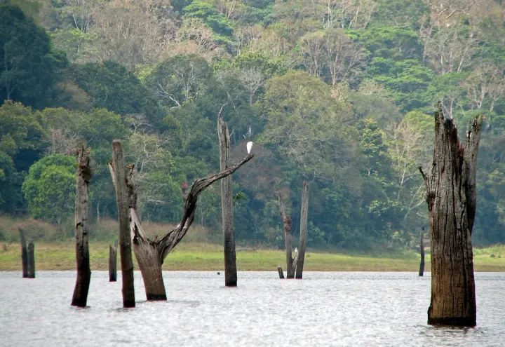
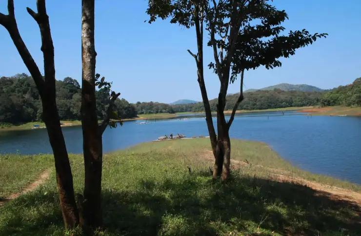
Official tiger reserve landscape around Thekkady, with forest-controlled activities and boating. This wildlife guide belongs to the Thekkady and Kumily planning base in Idukki, Kerala, with route context, best-time notes and verified inventory categories for stays, food, operators, shops, wellness and transport as they are approved.

Open guide →
Periyar boat safari, Idukkiactivity
activity

Periyar boat safari

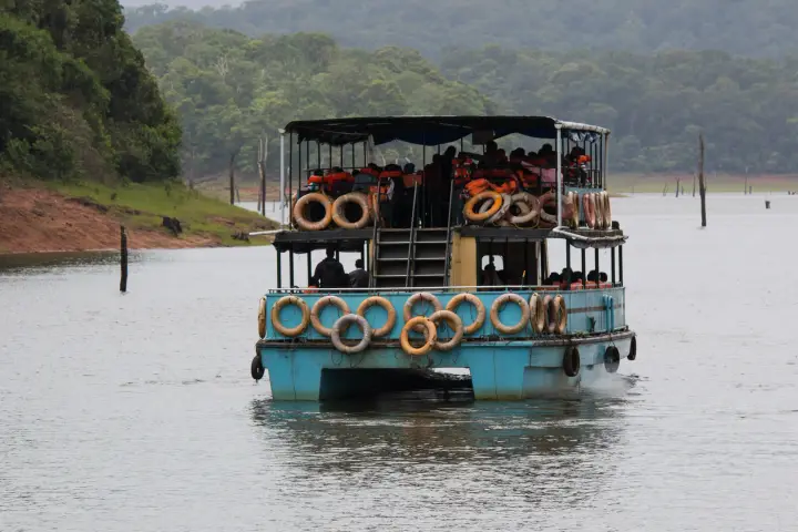
A scheduled passenger-boat trip on Periyar Lake, with reporting at Anavachal and a reserve-bus transfer to the Thekkady boat landing. This activity guide belongs to the Thekkady and Kumily planning base in Idukki, Kerala, with route context, best-time notes and verified inventory categories for stays, food, operators, shops, wellness and transport as they are approved.

Open guide →
Periyar Border Hiking, Idukkitrek
trek

Periyar Border Hiking

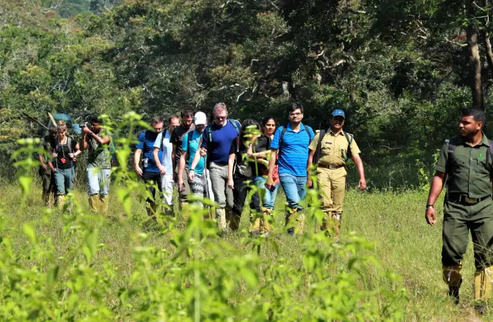
A full-day guided hike across Periyar’s forest and grass-covered ridges, with separate Brandipara and Thondiyar products and reporting offices. This trek guide belongs to the Thekkady and Kumily planning base in Idukki, Kerala, with route context, best-time notes and verified inventory categories for stays, food, operators, shops, wellness and transport as they are approved.

Open guide →
Periyar Bamboo Rafting, Idukkiexperience
experience

Periyar Bamboo Rafting

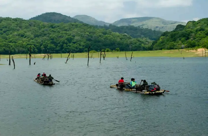
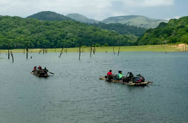
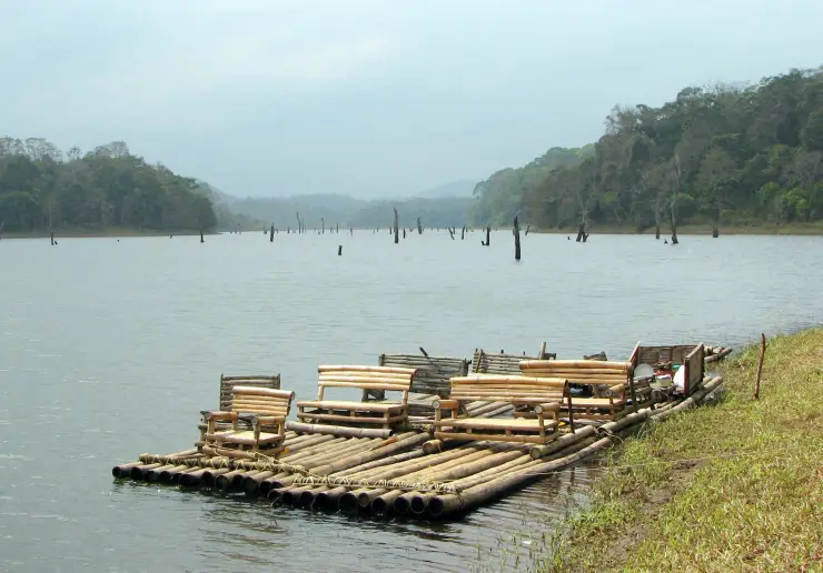
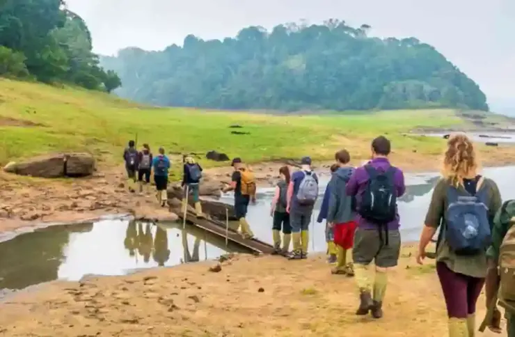
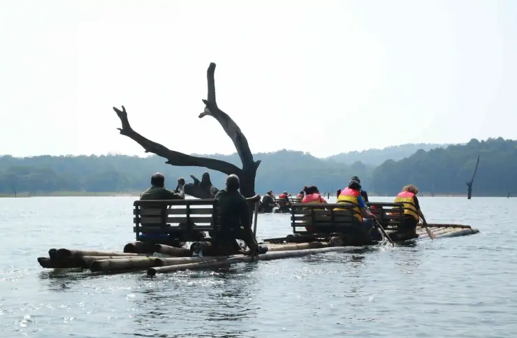
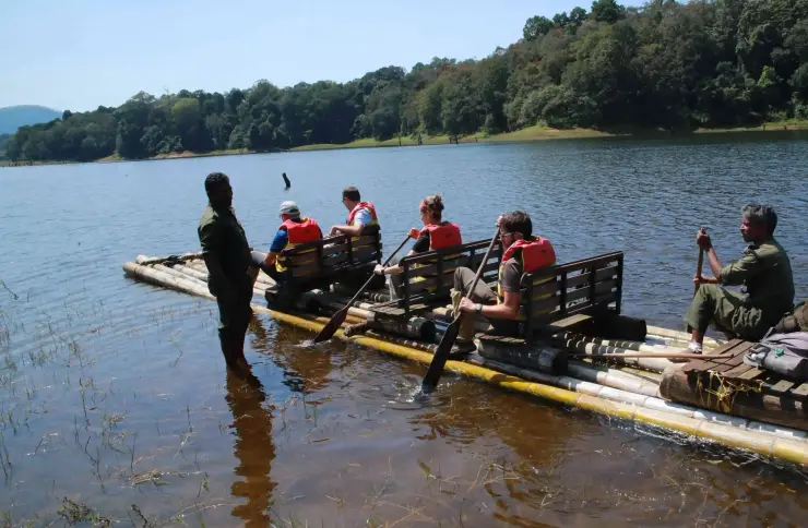
Forest Department guided trekking and bamboo rafting in Periyar Tiger Reserve, with separate full-day and half-day programmes and reporting points. Full-day rafting is closed 5–30 September 2026 for raft maintenance. This experience guide belongs to the Thekkady and Kumily planning base in Idukki, Kerala, with route context, best-time notes and verified inventory categories for stays, food, operators, shops, wellness and transport as they are approved.

Open guide →
Periyar Nature Walk, Idukkitrek
trek

Periyar Nature Walk

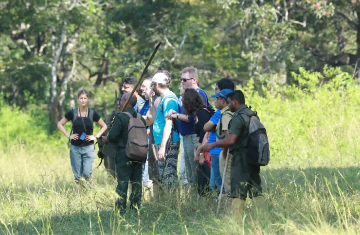
A small-group, 2.5-hour interpreted forest walk from Boat Landing in Periyar Tiger Reserve, with several daily trails and a minimum four-person booking charge. This trek guide belongs to the Thekkady and Kumily planning base in Idukki, Kerala, with route context, best-time notes and verified inventory categories for stays, food, operators, shops, wellness and transport as they are approved.

Open guide →
Periyar Tiger Trail, Idukkitrek
trek

Periyar Tiger Trail

Periyar Tiger Reserve’s guided trekking-and-camping programme, offered as one night/two days or two nights/three days, with reporting at the Forest Check Post Ex Vayana EDC office. This trek guide belongs to the Thekkady and Kumily planning base in Idukki, Kerala, with route context, best-time notes and verified inventory categories for stays, food, operators, shops, wellness and transport as they are approved.

Open guide →
Periyar Jungle Patrol, Idukkitrek
trek

Periyar Jungle Patrol

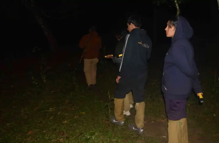
Periyar’s guided night walk, currently booked as Jungle Scout, with separate Forest Check Post and Bamboo Grove departures. This is a walking programme, not a jeep safari. This trek guide belongs to the Thekkady and Kumily planning base in Idukki, Kerala, with route context, best-time notes and verified inventory categories for stays, food, operators, shops, wellness and transport as they are approved.

Open guide →
Mangaladevi Temple trek, Idukkitrek
trek

Mangaladevi Temple trek

Seasonal forest trek from Thekkady to the ancient hilltop Mangaladevi Kannaki Temple near the Kerala-Tamil Nadu border, opened by the forest department mainly around Chithra Pournami. This trek guide belongs to the Thekkady and Kumily planning base in Idukki, Kerala, with route context, best-time notes and verified inventory categories for stays, food, operators, shops, wellness and transport as they are approved.

Open guide →
Murikkady, Idukkihill station
hill station

Murikkady

Murikkady, also mapped as Murickady, is a plantation settlement near Kumily in Idukki. Use the village as an orientation base and a separately confirmed estate entrance for a spice or plantation visit. This hill station guide belongs to the Thekkady and Kumily planning base in Idukki, Kerala, with route context, best-time notes and verified inventory categories for stays, food, operators, shops, wellness and transport as they are approved.

Open guide →
Pandikuzhi, Idukkiviewpoint
viewpoint

Pandikuzhi

Thekkady-side valley and stream landscape on the Kerala-Tamil Nadu edge. This viewpoint guide belongs to the Thekkady and Kumily planning base in Idukki, Kerala, with route context, best-time notes and verified inventory categories for stays, food, operators, shops, wellness and transport as they are approved.

Open guide →
Chellarkovil Viewpoint, Idukkiviewpoint
viewpoint

Chellarkovil Viewpoint

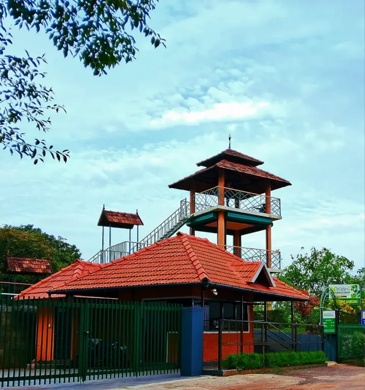
The Kerala Forest Department ecotourism centre at Chellarkovil, with a watchtower, botanical and butterfly gardens and views towards the Tamil Nadu plains. Private resort viewpoints and waterfall approaches are separate visits. This viewpoint guide belongs to the Thekkady and Kumily planning base in Idukki, Kerala, with route context, best-time notes and verified inventory categories for stays, food, operators, shops, wellness and transport as they are approved.

Open guide →
Ramakkalmedu, Idukkiviewpoint
viewpoint

Ramakkalmedu

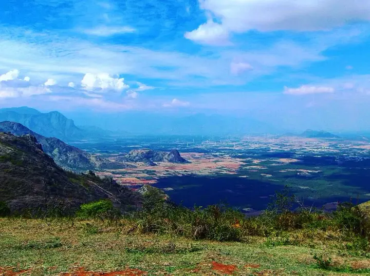
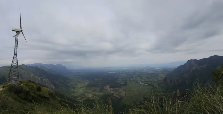
Windy Idukki ridge and viewpoint area above the Tamil Nadu plains, often planned with wind farms and Nedumkandam-side routes. This viewpoint guide belongs to the Ramakkalmedu planning base in Idukki, Kerala, with route context, best-time notes and verified inventory categories for stays, food, operators, shops, wellness and transport as they are approved.

Open guide →
Ramakkalmedu viewpoint, Idukkiviewpoint
viewpoint

Ramakkalmedu viewpoint

Open ridge viewpoint above the Tamil Nadu plains near Nedumkandam, useful for sunset, wind-farm and high-range road planning. This viewpoint guide belongs to the Ramakkalmedu planning base in Idukki, Kerala, with route context, best-time notes and verified inventory categories for stays, food, operators, shops, wellness and transport as they are approved.

Open guide →
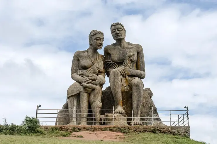
Kuravan Kurathi statue, Idukkiheritage
heritage

Kuravan Kurathi statue

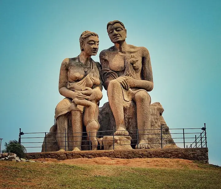
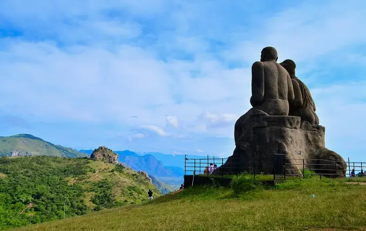
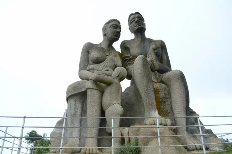
The seated concrete group of a Kuravan, a Kurathi and their child on the open mound at Ramakkalmedu, sculpted by C. B. Jinan and put up in 2005, inside DTPC Idukki’s ticketed viewpoint compound. It commemorates Kuravanmala and Kurathimala, the two hills the Idukki arch dam is wedged between — 30 km away in a straight line, 44 km by road. This heritage guide belongs to the Ramakkalmedu planning base in Idukki, Kerala, with route context, best-time notes and verified inventory categories for stays, food, operators, shops, wellness and transport as they are approved.

Open guide →
Aamai Para, Idukkiviewpoint
viewpoint

Aamai Para

Tortoise-shaped rock outcrop above Thovalappady on the Kerala–Tamil Nadu border ridge, reached by jeep track from the Thookkupalam–Ramakkalmedu road, with a two-mouthed passage under the rock and DTPC’s Jaalakam eco-tourism centre on top. This viewpoint guide belongs to the Ramakkalmedu planning base in Idukki, Kerala, with route context, best-time notes and verified inventory categories for stays, food, operators, shops, wellness and transport as they are approved.

Open guide →
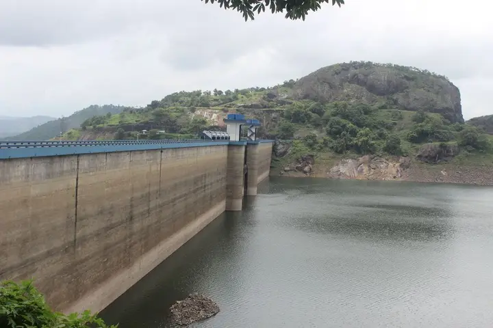
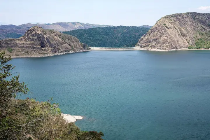
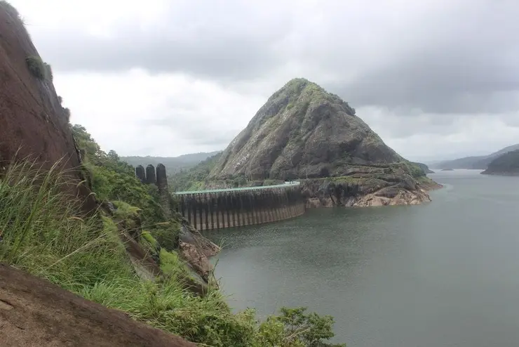
Idukki Arch Dam, Idukkidam
dam

Idukki Arch Dam

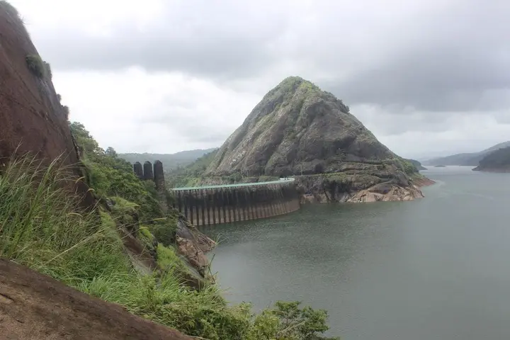
Major hydroelectric dam and one of Kerala’s landmark engineering sites. This dam guide belongs to the Idukki and Cheruthoni planning base in Idukki, Kerala, with route context, best-time notes and verified inventory categories for stays, food, operators, shops, wellness and transport as they are approved.

Open guide →
Cheruthoni Dam, Idukkidam
dam

Cheruthoni Dam

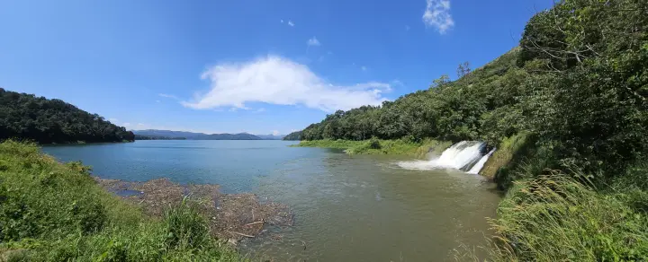
The 138-metre concrete gravity dam a kilometre west of the Idukki arch dam, carrying the five radial gates that are the only spillway for the whole Idukki reservoir — the gates opened in a south-west monsoon for the first time on 9 August 2018. This dam guide belongs to the Idukki and Cheruthoni planning base in Idukki, Kerala, with route context, best-time notes and verified inventory categories for stays, food, operators, shops, wellness and transport as they are approved.

Open guide →
Hill View Park, Idukkiviewpoint
viewpoint

Hill View Park

The DTPC’s eight-acre garden and viewing park on the Vellappara shoulder above the Idukki reservoir, about 350 ft above the water. It is the dependable way to see the Idukki arch dam — strung between Kuravanmala and Kurathimala, roughly 1.6 km east-north-east — because the dam crest itself is shut most of the year and this is open every day from 08:00 to 19:00. This viewpoint guide belongs to the Idukki and Cheruthoni planning base in Idukki, Kerala, with route context, best-time notes and verified inventory categories for stays, food, operators, shops, wellness and transport as they are approved.

Open guide →
Kalvari Mount, Idukkiviewpoint
viewpoint

Kalvari Mount

Reservoir-view hill point near Idukki and Cheruthoni, useful for scenic drives, photos and central high-range itineraries. This viewpoint guide belongs to the Idukki and Cheruthoni planning base in Idukki, Kerala, with route context, best-time notes and verified inventory categories for stays, food, operators, shops, wellness and transport as they are approved.

Open guide →
Cheeyappara Waterfalls, Idukkiwaterfall
waterfall

Cheeyappara Waterfalls

Waterfall on the Kochi-Munnar road, commonly paired with Valara as a high-range arrival stop. This waterfall guide belongs to the Idukki and Cheruthoni planning base in Idukki, Kerala, with route context, best-time notes and verified inventory categories for stays, food, operators, shops, wellness and transport as they are approved.

Open guide →
Valara Waterfalls, Idukkiwaterfall
waterfall

Valara Waterfalls

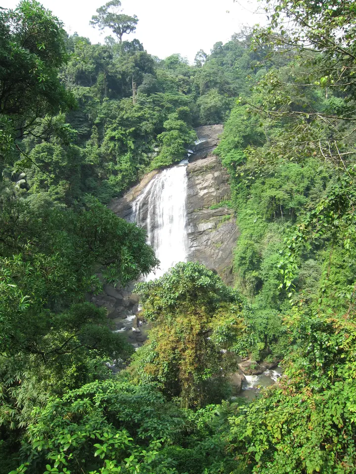
Valara is the forest-framed Deviyar cascade beside NH85 between Neriamangalam and Adimali in Idukki. It is a separate roadside stop from Cheeyappara, with viewing from the road and no assumed access to the waterfall base. This waterfall guide belongs to the Idukki and Cheruthoni planning base in Idukki, Kerala, with route context, best-time notes and verified inventory categories for stays, food, operators, shops, wellness and transport as they are approved.

Open guide →
Peermade, Idukkihill station
hill station

Peermade

Peermade, also written Peerumedu or Peermede, is a plantation settlement and highland landscape on the Kottayam–Kumily road in Idukki. The map uses the town centre as a visitor base, not a single hilltop attraction. This hill station guide belongs to the Idukki and Cheruthoni planning base in Idukki, Kerala, with route context, best-time notes and verified inventory categories for stays, food, operators, shops, wellness and transport as they are approved.

Open guide →
Panchalimedu, Idukkiviewpoint
viewpoint

Panchalimedu

Meadow and hill-viewpoint landscape near the Peermade/Kuttikkanam side of Idukki. This viewpoint guide belongs to the Idukki and Cheruthoni planning base in Idukki, Kerala, with route context, best-time notes and verified inventory categories for stays, food, operators, shops, wellness and transport as they are approved.

Open guide →
Kuttikkanam, Idukkihill station
hill station

Kuttikkanam

Peermade-side hill-station and adventure-tourism area, useful for tea estates, pine roads and central high-range routing. This hill station guide belongs to the Idukki and Cheruthoni planning base in Idukki, Kerala, with route context, best-time notes and verified inventory categories for stays, food, operators, shops, wellness and transport as they are approved.

Open guide →
Vagamon, Idukkihill station
hill station

Vagamon

Rolling meadows, pine patches and viewpoints on the Idukki/Kottayam highland edge. This hill station guide belongs to the Vagamon planning base in Idukki, Kerala, with route context, best-time notes and verified inventory categories for stays, food, operators, shops, wellness and transport as they are approved.

Open guide →
Vagamon meadows, Idukkihill station
hill station

Vagamon meadows

Open meadow landscape forming the classic Vagamon sightseeing circuit. This hill station guide belongs to the Vagamon planning base in Idukki, Kerala, with route context, best-time notes and verified inventory categories for stays, food, operators, shops, wellness and transport as they are approved.

Open guide →
Pine forest, Idukkiviewpoint
viewpoint

Pine forest

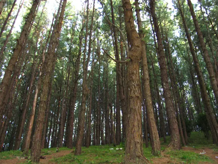
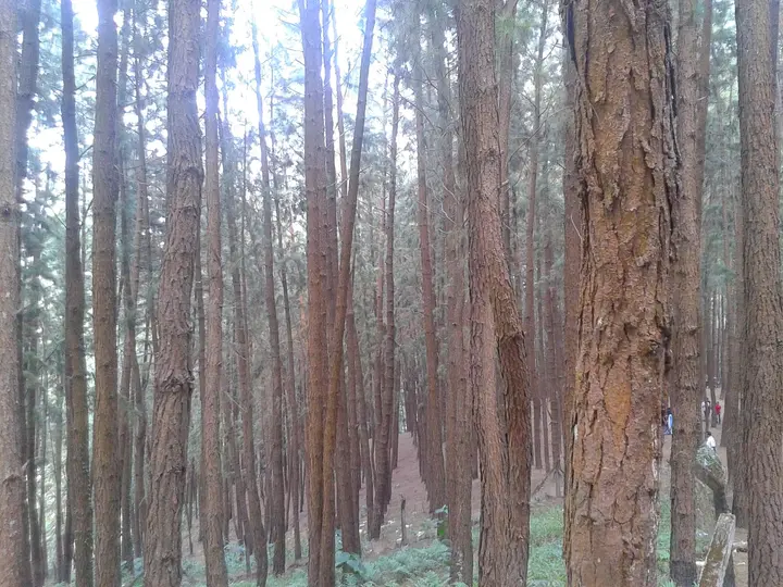
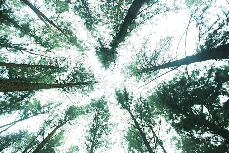
A 61.40-hectare plantation of Caribbean pine on the Kolahalamedu shoulder above Vagamon — planted in rows by the Kerala Forest Department’s research wing on land that was not legally forest at all until March 2021, and run today as a ticketed ecotourism centre with a counter, a car park and a made path. Every travel site calls it a British-era forest; the state’s own record calls it the Kolahalamedu Pine Plantation. This viewpoint guide belongs to the Vagamon planning base in Idukki, Kerala, with route context, best-time notes and verified inventory categories for stays, food, operators, shops, wellness and transport as they are approved.

Open guide →
Thangalpara, Idukkimosque
mosque

Thangalpara

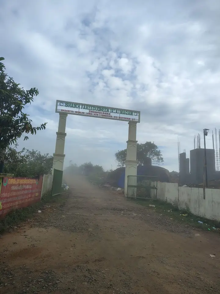
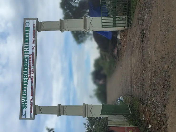
A working Muslim pilgrimage centre on a bare granite dome above Vagamon, on the Kottayam side of the district line. It calls itself the Shaikh Fareedudheen (R.A) Maqam, and the life set out at its gate — the saint’s father, mother, teachers and date of death — is that of Fariduddin Ganjshakar, Baba Farid, whose dargah is at Pakpattan in the Punjab. Kerala Tourism calls this rock his grave; the shrine says maqam, which is the smaller and more careful word. This mosque guide belongs to the Vagamon planning base in Idukki, Kerala, with route context, best-time notes and verified inventory categories for stays, food, operators, shops, wellness and transport as they are approved.

Open guide →
Kurisumala, Idukkichurch
church

Kurisumala

The pilgrim hill above Vagamon — a bare rock dome climbed by a 1.2 km path lined with the Stations of the Cross to St Thomas Church on the summit, and, 818 m away and lower down, the separate Cistercian monastery of Kurisumala Ashram, founded in 1958. Most descriptions run the two together; they are different places with different approaches and different people in charge. This church guide belongs to the Vagamon planning base in Idukki, Kerala, with route context, best-time notes and verified inventory categories for stays, food, operators, shops, wellness and transport as they are approved.

Open guide →
Paragliding viewpoints, Idukkiviewpoint
viewpoint

Paragliding viewpoints

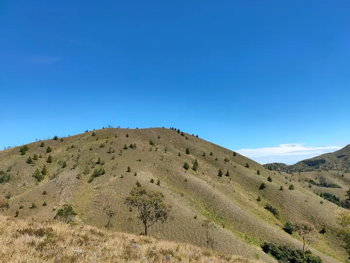
The Kolahalamedu ridge above Vagamon — grass hills the state names as one of only two accredited paragliding sites in Kerala, and the launch ground for a carnival its own website has not updated since 2015. What you come for is the open meadow ridge and the valley it drops into; whether anyone is flying on the day is a question for a licensed operator, not a website. This viewpoint guide belongs to the Vagamon planning base in Idukki, Kerala, with route context, best-time notes and verified inventory categories for stays, food, operators, shops, wellness and transport as they are approved.

Open guide →
Vagavanam Windy Walk trek, Idukkitrek
trek

Vagavanam Windy Walk trek

The Forest Department’s guided walk on the grass tops at the southern end of the Idukki Wildlife Sanctuary, about ten kilometres by road from Vagamon — some seven kilometres on foot up jeep track and open ridge, with the Idukki reservoir catchment below you. The state will not sell it to fewer than six people, and it will not take more than seven. This trek guide belongs to the Vagamon planning base in Idukki, Kerala, with route context, best-time notes and verified inventory categories for stays, food, operators, shops, wellness and transport as they are approved.

Open guide →
Kanthalloor, Idukkihill station
hill station

Kanthalloor

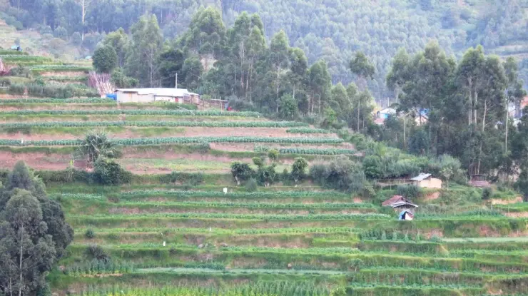
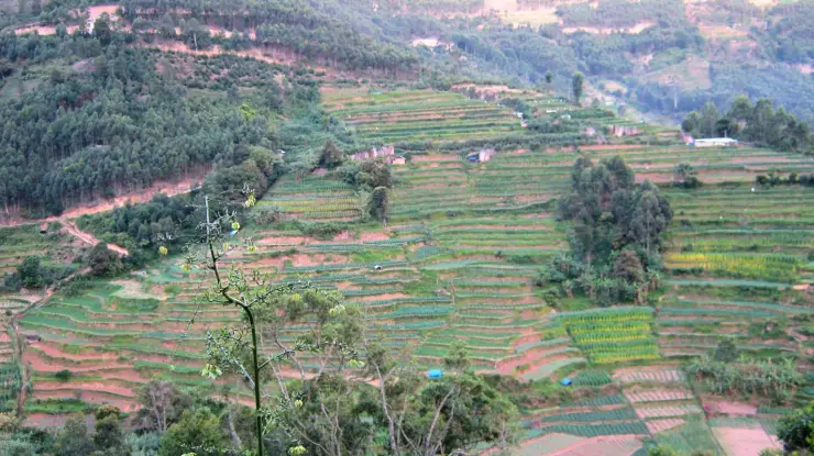
High-range village near Marayoor often called the “Kashmir of Kerala”, known for terraced farms of apples, oranges, strawberries and vegetables at around 1,800 m. This hill station guide belongs to the Munnar planning base in Idukki, Kerala, with route context, best-time notes and verified inventory categories for stays, food, operators, shops, wellness and transport as they are approved.

Open guide →
Vattavada, Idukkihill station
hill station

Vattavada

Cool high-altitude farming village beyond Munnar near the Tamil Nadu border, known for terraced vegetable and fruit cultivation, Kurinji slopes and quiet valley views. This hill station guide belongs to the Munnar planning base in Idukki, Kerala, with route context, best-time notes and verified inventory categories for stays, food, operators, shops, wellness and transport as they are approved.

Open guide →
Pothamedu Viewpoint, Idukkiviewpoint
viewpoint

Pothamedu Viewpoint

A road-accessible viewpoint in Pothamedu south of Munnar, looking across planted hills and wooded valleys. The viewpoint marker is separate from the wider village and from private plantation walking routes. This viewpoint guide belongs to the Munnar planning base in Idukki, Kerala, with route context, best-time notes and verified inventory categories for stays, food, operators, shops, wellness and transport as they are approved.

Open guide →
Kulamavu Dam, Idukkidam
dam

Kulamavu Dam

Kulamavu is KSEB’s gravity dam on Kilivallithodu and one of three dams forming the Idukki reservoir. Visit through the hydel-tourism arrangements; reservoir views do not authorise entry to restricted infrastructure. This dam guide belongs to the Idukki and Cheruthoni planning base in Idukki, Kerala, with route context, best-time notes and verified inventory categories for stays, food, operators, shops, wellness and transport as they are approved.

Open guide →
Thommankuthu Waterfalls, Idukkiwaterfall
waterfall

Thommankuthu Waterfalls

Seven-step cascade and eco-tourism trekking spot on the Kaliyar river near Thodupuzha, with rock pools, forest paths and a Forest Department eco-tourism trail. This waterfall guide belongs to the Idukki and Cheruthoni planning base in Idukki, Kerala, with route context, best-time notes and verified inventory categories for stays, food, operators, shops, wellness and transport as they are approved.

Open guide →
Malankara Dam, Idukkidam
dam

Malankara Dam

An Irrigation Department dam and reservoir at Muttom near Thodupuzha, storing Thodupuzha River runoff and Idukki power-station tailwater for the Muvattupuzha Valley Irrigation Project; the visitor park has its own permitted areas. This dam guide belongs to the Idukki and Cheruthoni planning base in Idukki, Kerala, with route context, best-time notes and verified inventory categories for stays, food, operators, shops, wellness and transport as they are approved.

Open guide →
Anchuruli, Idukkiviewpoint
viewpoint

Anchuruli

The Anchuruli reservoir-side landscape near Kattappana, where the Erattayar diversion tunnel discharges towards Idukki reservoir. Plan an exterior viewpoint visit; the water tunnel is working infrastructure. This viewpoint guide belongs to the Idukki and Cheruthoni planning base in Idukki, Kerala, with route context, best-time notes and verified inventory categories for stays, food, operators, shops, wellness and transport as they are approved.

Open guide →
Mathikettan Shola National Park, Idukkiwildlife
wildlife

Mathikettan Shola National Park

Mathikettan Shola protects a remnant of native Cardamom Hills forest in Idukki. Visits are arranged through the Forest Department, with distinct Pethotty and Choondal approaches; a reservoir viewpoint is not a park-entry permit. This wildlife guide belongs to the Munnar planning base in Idukki, Kerala, with route context, best-time notes and verified inventory categories for stays, food, operators, shops, wellness and transport as they are approved.

Open guide →
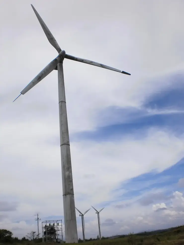
Chathurangapara Viewpoint, Idukkiviewpoint
viewpoint

Chathurangapara Viewpoint

A wind-turbine ridge in Chathurangappara, Udumbanchola taluk, with views towards Theni’s cultivated plains; reached from the Munnar–Kumily road, with an exposed final hill approach. This viewpoint guide belongs to the Munnar planning base in Idukki, Kerala, with route context, best-time notes and verified inventory categories for stays, food, operators, shops, wellness and transport as they are approved.

Open guide →
Idukki Wildlife Sanctuary, Idukkiwildlife
wildlife

Idukki Wildlife Sanctuary

Protected forest around the Idukki and Cheruthoni reservoirs near Painavu, with hilly evergreen woodland, elephants and boat-and-trek access arranged through the Forest Department. This wildlife guide belongs to the Idukki and Cheruthoni planning base in Idukki, Kerala, with route context, best-time notes and verified inventory categories for stays, food, operators, shops, wellness and transport as they are approved.

Open guide →
Ponmudi Dam, Idukkidam
dam

Ponmudi Dam

KSEB’s Panniyar-project dam at Konnathadi near Rajakkadu and Vellathooval in Idukki; a reservoir-and-engineering visit, distinct from Ponmudi hill station in Thiruvananthapuram. This dam guide belongs to the Idukki and Cheruthoni planning base in Idukki, Kerala, with route context, best-time notes and verified inventory categories for stays, food, operators, shops, wellness and transport as they are approved.

Open guide →
Painavu, Idukkitown
town

Painavu

The hill headquarters town of Idukki district near the arch dam, a quiet high-range base for Idukki–Cheruthoni dam-side sightseeing and the surrounding reservoir viewpoints. This town guide belongs to the Idukki and Cheruthoni planning base in Idukki, Kerala, with route context, best-time notes and verified inventory categories for stays, food, operators, shops, wellness and transport as they are approved.

Open guide →
Parunthumpara, Idukkiviewpoint
viewpoint

Parunthumpara

A rock-and-grass viewpoint near Peermade on the Pambanar side of Idukki, overlooking steep wooded ravines; known as Eagle Rock and for the profile-like Tagore Rock formation. This viewpoint guide belongs to the Idukki and Cheruthoni planning base in Idukki, Kerala, with route context, best-time notes and verified inventory categories for stays, food, operators, shops, wellness and transport as they are approved.

Open guide →
Nadukani Viewpoint, Idukkiviewpoint
viewpoint

Nadukani Viewpoint

Ghat viewpoint on the Thodupuzha–Puliyanmala road overlooking the Idukki high range, a popular stop for valley views and cool breezes. This viewpoint guide belongs to the Idukki and Cheruthoni planning base in Idukki, Kerala, with route context, best-time notes and verified inventory categories for stays, food, operators, shops, wellness and transport as they are approved.

Open guide →
For hotels, homestays and local businesses

Get listed in Idukki for free

Roampedia is commission-free. Travellers find your business and contact you directly. Basic listings stay free; optional Gold and Platinum monthly packages will vary by business type, with no booking commission.

List your business — free
Our picks

Top things to do in Idukki

Our editors' pick of the standout experiences, ordered by what we'd prioritise on a first visit — an honest judgement call, not a rated ranking.

1

Munnar

The high-range hub for tea estates, viewpoints and cool weather — base here two nights and day-trip the Mattupetty and Top Station circuits.

2

Eravikulam National Park

Kerala’s best chance to see the Nilgiri tahr up close on the Rajamala grasslands; go early, and note it closes for the February–March calving season.

3

Kolukkumalai

Sunrise from one of the world’s highest tea estates, reached by a bumpy jeep ride from the Munnar side — start before dawn and dress warm.

4

Mattupetty Dam

A reservoir with boating and dairy-country views on the Top Station road — easy to pair with Echo Point and Kundala.

5

Top Station

The highest viewpoint on the Munnar–Tamil Nadu edge, best for early-morning valley views before the mist rolls in.

6

Tea Museum

A working look at Munnar’s plantation history and tea-making, about 4 km from town — it closes on Mondays.

7

Marayoor

Kerala’s only natural sandalwood forests, with prehistoric dolmens and traditional jaggery-making — a rewarding day out toward Chinnar.

8

Thekkady / Periyar

The base for the Periyar Tiger Reserve; spice plantations, guided forest walks and the reservoir cruise all start here.

9

Periyar boat safari

A reservoir cruise through the tiger reserve — take the first or last boat for the best wildlife chances and book ahead in season.

10

Vagamon

Rolling meadows, pine forest and paragliding on the Idukki–Kottayam edge — a quieter, greener alternative to Munnar.

11

Ramakkalmedu

A windswept ridge above the Tamil Nadu plains, famous for its gusts, wind farms and the Kuravan–Kurathi statue at sunset.

12

Kanthalloor

A cool farming village near Marayoor nicknamed the “Kashmir of Kerala” for its apple, orange and vegetable terraces.

Plan your visit

Entry fees & timings in Idukki

Indicative entry fees and opening hours for the ticketed and timed places in Idukki. These change — always confirm with the official operator before you go.

Where a rupee figure is given it is the Indian adult rate. Government monuments, museums and forest reserves often charge foreign visitors more.

PlaceEntry feeTimingsBest time
Munnar Munnar itself is free to explore. Eravikulam National Park charges roughly ₹125 for Indians and about ₹420 for foreign nationals, plus small reservation/vehicle fees; other attractions (dams, museums, viewpoints) have their own small tickets.Munnar town is open year-round; individual sights keep their own hours. Eravikulam National Park typically admits visitors about 8am–4pm and closes for around February–March for tahr calving.September to March for clear, cool weather; the monsoon (about June–August) is intensely green but wet and slip-prone; summer (April–May) stays pleasantly mild.
Eravikulam National Park Around ₹200 per adult for Indian nationals and ₹500 for foreign tourists, plus a compulsory park-bus fare and camera charges (approx ₹50 still camera / ₹350 video), with a small reservation feeOpen daily during the season, roughly 8:00 am to 2:00 pm for entry via Rajamalai (some sources cite up to around 4:00 pm; last buses run earlier)September to November, just after the monsoon, offers the clearest skies and greenest grassland; the park closes for roughly two months during the Feb–Mar calving season (often reopening around 1 April — verify current dates); Neelakurinji years (next expected around 2030) draw the biggest crowds
Anamudi Peak Eravikulam National Park charges a modest entry fee plus a compulsory shuttle-bus fare from Rajamala, with separate rates for Indian and foreign visitors and cameras. There is no ordinary ticket to the Anamudi summit — any approach to the peak needs special, rarely granted Forest Department permission.Anamudi is viewed via Eravikulam National Park, generally open around 07:00–16:00 (last entry earlier); the summit itself is not open to casual tourists. The park usually closes for a period during the tahr calving season (broadly late January to March). Hours vary seasonally.September to March is the pleasant, clear window, with lush post-monsoon grasslands; note the park typically closes for the tahr calving season (broadly late January–March). Neelakurinji bloom years (roughly every twelve years) are exceptional but rare.
Rajamala Official booking guidance: Indian adult ₹200; foreign visitor ₹500. The department’s child category is inconsistent across labels, so confirm the applicable child ticket in the booking system.Official booking guidance lists entry 08:00–14:00. A separate department programme record shows a later closing reference; use the actual booked reporting time. Seasonal calving closure applies.
Tea Museum Ticketed. Indicative rates quoted are around ₹75 for adults and about ₹35 for children under 12, with a camera charge of roughly ₹20.Generally open daytime hours, with sources quoting somewhere between about 9 a.m. and 5 p.m. (some say 10 a.m. to 4 p.m.); usually closed on Mondays and some public holidays.Good year-round as an indoor, weather-proof stop. September to March brings the coolest, clearest Munnar weather; the June–September monsoon makes it an ideal rainy-afternoon activity. Weekday mornings tend to be quieter than weekends and holidays, when tour buses can crowd the demonstration room.
Mattupetty Dam A nominal entry or parking charge may apply at the dam; boat rides are charged separately by DTPC and private operators (varying rates by boat type and duration), and the Indo-Swiss farm levies its own small entry fee.Boating and the dam area are generally open through the day, with boating roughly 9:00 am to 5:00 pm; the nearby dairy farm keeps its own visiting hours.September to March (cool, clear post-monsoon and winter months) is ideal; early morning for calm water and mist. Monsoon (June–August) is green but wet and can disrupt boating.
Echo Point A small entry ticket, commonly cited at about ₹30 for adults and ₹15 for children; boating is charged separately, typically ₹100–₹600 depending on the boat and group size.Generally open daily from around 7 am to 6 pm, though some sources quote longer hours; boating usually stops earlier than the gate.September to February is ideal — cool, misty and pleasant; March to May is warmer but workable. Avoid the heavy June–August monsoon when paths turn slippery. Early morning gives the crispest echoes and glassiest water. The Neelakurinji bloom appears only in a Kurinji year, about once every twelve years.
Kundala Lake Lake entry is usually free or nominal (a small ticket of around ₹10 is sometimes quoted). Boating is charged separately per boat — pedal boats, row boats and shikaras each priced by type and duration, typically for a 30-minute ride; rates vary widely between sources, so confirm at the boating counter.Generally open through the day for viewing, with boating in daytime windows (commonly quoted as roughly 9:00 am to around 5:00–5:30 pm, boat rentals often stopping earlier in the late afternoon).Roughly September/October to March is ideal for clear views and comfortable boating. Cherry blossoms are said to appear around spring and again later in the year but are brief and unpredictable. Monsoon (about June to August) brings lush green but heavy rain, mist and possible boating disruption. Neelakurinji only in its once-in-twelve-years bloom.
Meesapulimala trek Sold as a package through KFDC eco-tourism, usually including guide, jeep leg, camp stay and meals; commonly quoted rates run from roughly ₹4,000 for two persons at base camp up to around ₹6,000–₹9,000 for premium cottages, and a permit-only option has been cited near ₹1,000.Run as a scheduled KFDC eco-tourism programme rather than an open trail; the overnight package typically has base-camp check-in by early afternoon (around 2:00 pm) with the summit walk the next morning.September to May, with the clearest, most pleasant window generally around October to February; avoid the June–August south-west monsoon when the grassland turns slippery and treks are often suspended. In a mass-flowering year (roughly once every 12 years) the Neelakurinji bloom, typically July–November, is a special draw.
Kolukkumalai Roughly ₹3,000–₹3,500 per jeep (up to about 6 people) including the gate pass, or around ₹500–₹1,000 per head for a shared jeep; the tea factory/estate visit is a separate charge of about ₹150 per personSunrise-focused; jeeps generally depart Munnar/Suryanelli pre-dawn around 3:30–4:30 AM, with operators running from early morning through to around 5:00 PMBest from around September/October to February/March for clear skies, crisp air and dramatic cloud seas; avoid the heavy monsoon (roughly June–August) when rain and cloud can block the sunrise and make the road unsafe
Chinnar Wildlife Sanctuary Around ₹200 per adult for Indian visitors and roughly ₹500 for foreign nationals, with separate charges for treks such as Thoovanam (about ₹250 for Indians and ₹600 for foreigners), plus camera and vehicle fees.Open daily, generally around 6.00 am to 6.00 pm, with guided treks arranged in morning and afternoon slots (roughly 6–11 am and 3–6 pm).As a rain-shadow reserve Chinnar stays relatively dry year-round; the cooler months from about September to March are the most comfortable for trekking and wildlife-watching, while March to May can be intensely hot in the scrub.
Marayoor Roaming the town and roadside jaggery sheds is free; the sandalwood reserve, rock-art sites and Chinnar Wildlife Sanctuary charge Forest Department entry/guide fees and may require permits.Marayoor is an open town/region accessible through the day; the sandalwood reserve and rock-art sites are Forest Department areas usually visited by daytime with permission, and the dolmen fields are best seen in daylight.Roughly September to March is generally the most pleasant, with cool, dry weather suited to Marayoor’s rain-shadow climate; the hotter months before the monsoon can be dry and warm. Confirm seasonal conditions before travelling.
Anamudi Shola Confirm the charge for the specific permitted visit with Munnar Wildlife Division. Published accommodation prices are for named stays, not a general day-entry or trekking ticketVisit only under the reporting arrangements confirmed by forest staff. Accommodation check-in times differ by building and do not establish public opening hours for the whole parkThe management plan identifies October–February as peak season. Choose the visit around confirmed access and safe road conditions, with mist and cool weather possible even outside the monsoon.
Lakkam Waterfalls A small forest-department ticket per person — reported figures range from about ₹10 to ₹50. DSLR/still cameras are generally allowed without a separate charge, and a guided trek alongside the falls may cost extra.Open daily, generally around 8:00 am to 5:00 pm; as a forest-department site the gate and ticket counter keep daytime hours and last entry may be earlier.Post-monsoon, roughly October to January, is the sweet spot for full, clear flow, with good water often lasting into around March; avoid the peak of heavy monsoon when the falls can be dangerously strong, and expect a thinner flow in the driest months.
Attukad Waterfalls Generally no fee to view the falls; a guided trek to reach them may cost around ₹100 per personAn open natural site with no strict gates; daylight viewing is strongly advised, with most visitors coming roughly between 9 am and 6 pmBest during and just after the south-west monsoon (about mid-June to September) for the fullest, most dramatic flow; October to February offers pleasant weather and clearer conditions with gentler flow. Expect a lean cascade in the dry pre-monsoon months
Lockhart Gap Free. There is no ticket, no counter and nobody to sell one for the viewpoint, and any page that quotes an entry fee for Lockhart Gap is quoting something else. Three nearby things do charge and are regularly confused with it. The CHOKRAMUDI TREK, from the counter 51 m away, is reported at ₹400 for Indians and ₹600 for foreigners — the figure the Forest Department announced when it opened the trek in November 2019, never republished on an official tariff page since. The KURINJI GARDEN, opened 24 August 2026, is ₹200 for adults and ₹400 for foreigners, with the under-18 rate given as ₹100 in Onmanorama's English report and ₹50 in Manorama's Malayalam one, plus ₹50 for a still camera and ₹100 for video. The LOCKHART TEA FACTORY AND MUSEUM charge for the tour, and here the numbers are worse: ₹200 for Indians and ₹400 for foreigners on one aggregator, ₹250 and ₹500 on another, a ₹150 tea tasting on one and a tasting included on the other, and harrisonsheritage.com — the operator's own site — would not serve us a page. We are not going to pick one of those. Ring the factory on 094460 05406 and ask.None. The gap is a lay-by on a public national highway with a bus stop on it and it is open at any hour of any day. The things around it do have hours: the Chokramudi trekking counter 51 m away publishes 05:30 to 15:00, the Kurinji Garden that opened on 24 August 2026 runs 07:00 to 16:00, and the Lockhart Tea Factory and Museum 4.6 km back towards Munnar take visitors during working hours and are shown as closed on Mondays. For the view itself the practical window is dawn to about nine in the morning, because the eastern face clouds over from mid-morning on most days of the year.September to March, and early. This is the windward side of the Ghats and the gap manufactures its own weather: the eastern face fills with cloud through the morning on most days of the year, so the deep view is a dawn-to-nine proposition rather than an all-day one. December to February is the coldest and clearest stretch and the best light of the year on the plains below. September and October 2026 are exceptional, because the neelakurinji is in flower across these grasslands on its twelve-year cycle and "Devikulam Gap Road" appears by name on the state's own list of places it can be seen. The south-west monsoon from June to September is the season to avoid outright, and not merely for the view: this stretch of NH85 sheds rock, the terraced shotcrete above the road is why, and Idukki's landslide record includes Pettimudi in 2020.
Power House Waterfalls Free. There is no ticket, no counter and no collection of any kind at this waterfall, and no fee has ever been published for it by anybody. If a page quotes you an entry fee for Power House Waterfalls it is almost certainly quoting the Chinnakanal falls 21.0 km away, which is also free, or something else entirely.None published. There is no gate and nobody to open or close one. In practice the lane down to it is the limiting factor: it is steep, narrow, unlit and unnamed on the map, and it is not a road to be on after dark or in heavy rain. Treat first light to late afternoon as the sensible window.September to early January; October and November are the best of it. The north-east monsoon is still feeding the catchment then, the lane is usable, and the water is over the rock without being dangerous. March and April are the months to avoid if you want a waterfall at all — this is a regulated river below a power station and in a dry spring the slabs can be largely bare, which is what the review reading "No water. Not good to visit in summer season" is describing. June to August is the south-west monsoon: plenty of water, and both the descent and the riverbed genuinely hazardous rather than merely wet. One advantage this site has over almost everything else on the Munnar circuit is altitude — at 796 m it is nearly seven hundred metres lower than Munnar town, so it is comfortable in the middle of the day when the high range is cold and in cloud.
Blossom Hydel Park Kerala Hydel Tourism Centre publishes ₹80 for an adult entry pass, ₹50 for a child or additional head, and a ₹50 student pass. Cameras are charged on top and the holder must also hold an entry pass: ₹150 for a still camera, ₹600 for a professional camera, ₹1,000 for video. A campfire for up to eighty people is ₹3,500 an hour. ⚠ Most travel sites still print ₹50 as the adult rate — that is out of date; ₹80 is confirmed by the operator's tariff and by Manorama's August 2024 report. Government rates change without notice; confirm before you plan around them.Entry is sold in one-hour slots from 09:15 to 20:15, seven days a week, on the operator's own booking system; use that system to confirm the final entry slot. Campfire slots run separately from 19:00 to 23:00.August to February. The flower display is built for Onam — the 2024 planting was reported open from the end of August — and holds through the clear post-monsoon months into February. Through the south-west monsoon (June to August) this is a river bank in heavy rain and the potted beds are between plantings. Late afternoon is the best hour on any day, and the campfire slots start at 19:00.
Devikulam / Sita Devi Lake No standard published entry fee is confirmed for the lake; small local charges, parking fees or permission requirements may apply, and any trout-angling permit would be separate.Generally accessible during daylight hours; there are no fixed published timings for the lake itself, and access may depend on estate or local arrangements. Visit in daylight and avoid dusk onward.September to March, in the cool, drier season, is generally the most comfortable time, with clear mornings ideal for mist and reflections. April–May is warmer but pleasant; the June–August monsoon is intensely green but wet, leech-prone and can leave the banks marshy.
Chokramudi Peak trek Ask the authorised operator for the current per-person price, guide charge, taxes and cancellation terms before paying. Do not transfer a fee from a separate flower garden or Munnar trekking programme.Trek departures depend on the guide or authorised operator, weather and forest conditions. Obtain a reporting time with the booking instead of treating the hill as an all-hours attraction.October to March, as recommended by Kerala Tourism. Start early for cooler conditions and clearer views, while accepting that mountain weather can cancel a walk in any season.
Kurinjimala Sanctuary trek 🔴 No fee is published for anything at Kurinjimala, by the department or by anyone else, and we will not invent one. The brochure lists four facilities — a nature trail to the Kurinji land, a trek to cliffy rocks, a stay at Kadavari and a stay at Narco point — and prints no tariff against any of them. Nothing here is sold through the department's booking site, which carries Pampadum Shola and Anamudi Shola accommodation only. For scale rather than for guidance: the department's ticketed kurinji viewing at Chokramudi is ₹200 for adults with a lower rate for under-18s, and Meesapulimala is ₹1,200 a head through the Kerala Forest Development Corporation. Neither price applies here. Carry cash and expect no card machine.CURRENT CHECK, 4 SEPTEMBER 2026: no Kurinjimala walk, opening notice or booking product appears in the Forest Department's current programme and ecotourism lists, while its own older brochure still gives no hours for the two walks it names. The absence of a listing does not prove that access is closed. Ignore Google's misleading 'open 24 hours' label for a protected area; ring 04865 231587 for the date you want, use daylight only and plan to be off the ground by mid-afternoon.September–October for the flower; December to February for the walking. Kerala Tourism's own line is that neelakurinji flowers fully in September and October, and the 2026 bloom across the Munnar high range is expected to peak through September. For the ground itself rather than the flower, the settled cold weather from December to February is the best of the year at this altitude: dry air, long visibility, cold nights. June to August is the south-west monsoon on an exposed 2,000 m ridge, when the graded earth road above Koviloor is the real hazard and mist can close the valley for days. ⚠ One warning specific to 2026: Manorama reported on 30 July that the violet hillsides circulating in social media were mettukurinji rather than the twelve-year neelakurinji, so do not use somebody's reel as your calendar.
Thoovanam Falls trek ₹250 for Indians and ₹600 for foreigners, as published by Kerala Tourism on its own ecotourism page for this trek. Tickets are bought at the counter on the day — there is no card machine on a forest highway, so carry cash, and settle the figure at the counter before you set off rather than at the water. The roadside viewpoint of the same falls, 2.0 km up the highway, costs nothing at any hour.Kerala Tourism publishes this walk as 08.00 AM to 02.00 PM. The sanctuary's general visitor hours are wider, 07.00 to 18.00, but the trek window is the one that governs: it is the narrower of the two and it is the department's own figure for this programme. A three-hour walk that ends with a 115 m climb out of a gorge is not one to start late.September to March, with December to February the best of it. Chinnar is in the rain shadow of the Western Ghats and takes only about 500 mm of rain a year across roughly 48 rain days, most of it from the north-east monsoon between October and December — so the river is running and the ground is comfortable from September onward. March to May puts the most wildlife on the water and makes the climb back out genuinely hard by mid-morning. June to August, the south-west monsoon that shuts much of Idukki, largely misses this valley: this is one of very few walks near Munnar that works in July, though the department can still close it and the stream crossings can still rise.
Chinnar Dolmen Culture trek 🔴 No official tariff for this walk is published anywhere we could find, in English or in Malayalam — not on chinnar.in, not on the division's booking site, not on Kerala Tourism's own Chinnar pages. Three different figures are in circulation and they are printed here as they stand: ₹400 per person (widely repeated for a three-hour Alampetty–Jellimala cultural walk), ₹300 per person (a 2017 field account of the Alampetty rock-art and dolmen visit, paid to the Tribal Tracker Eco-Development Committee), and ₹3,500 for the whole party on a three-hour, five-location itinerary with a maximum of six people. They may all be correct for different programmes. The one trek fee the department does publish from this counter is the Thoovanam falls walk — ₹250 for Indians, ₹600 for foreigners — which is the only number on this page with an official source behind it. Confirm on +91 4865 231587 before you go.The sanctuary's published visitor hours are 07:00–18:00. A three-hour walk has to start in the first half of that window, and in practice guided treks here are morning departures — the department's own Thoovanam programme from the same counter runs 08:00–14:00. Nothing is bookable for a fixed slot; you turn up, sign the register and go when a guide is free.September to March, and December to February for the best of it. Chinnar sits in the rain shadow of the Western Ghats and takes only about 500 mm of rain a year across roughly 48 days, most of it from the north-east monsoon between October and December — so the ground is green and walkable from September onward and the mornings are cool through the turn of the year. March to May is the classic season for wildlife along the rivers but the open slopes are punishing by nine in the morning. Uniquely for this district, the walk is workable through the south-west monsoon (June to August), because that rain falls on the far side of the ridge; the stream crossings can still come up, so ask at the counter.
Vasyappara Trekking and Camping Contested; no official tariff exists. 🔴 We OCR'd the Kerala Forest Department's own Chinnar brochure on 25 August 2026 — two pages, no text layer, hosted at forest.kerala.gov.in — and it names the programme, gives Vasyappara Hut its own symbol on the sanctuary map, and prints no price whatever. Four figures circulate: ₹3,500 for two plus ₹1,000 a head (Outlook Traveller, 12 July 2017); ₹3,500 for two, ₹1,000 an adult and ₹500 a child to a maximum of four (Trans India Travels); ₹4,000 for two including food (Malayalam Manorama, 14 November 2018, printed under the heading “for more information and hut booking”); and ₹4,000 for two Indians and ₹5,000 for two foreigners, extra person ₹1,000 and ₹1,500, in the department's own programme text as republished by a Kerala travel site. All four are printed here and none is chosen, because none of them is official. ✅ What is not contested is the premium: every version prices Vasyappara ₹1,000 to ₹1,500 above every log house and the tree-top machan in the same list. There is also a separate sanctuary entry fee, published as ₹10 a head in the older tariff and ₹100 for adults in more recent listings, and guide charges of about ₹100 a day. Telephone before you drive and carry cash.Reporting is at 3 pm at the Chinnar check post — every source that gives a time gives that one. It is an hour later than the 2 pm check-in the same sanctuary publishes for its log houses, which is the clue to what this is: you are meant to reach the ridge at dusk, not to be back at a car park by six. You come down the next morning, and the division's other Chinnar accommodation checks out at 10 am. Sanctuary visitor hours are 07.00 to 18.00.October to February. Chinnar is in the rain shadow of the Western Ghats and misses the south-west monsoon that soaks the rest of Idukki, taking most of its rain from the north-east monsoon between October and December — which on this page is not a climate note but a plumbing one, because the water at the hut depends on it. December to February gives the coolest climbing and the clearest dawns off the ridge. March to May is the season the department's own board at the gate warns about in capital letters, and a 3 pm start up an unshaded hill in April is genuinely hard. June to August largely misses this valley, so the programme can run while Munnar is under cloud — but fire risk and animal movement close these walks without notice at any time of year, and the only way to find out is the telephone.
Periyar Tiger Reserve A modest reserve entry fee applies — around ₹45 for Indian adults and around ₹500 for foreign adults, with lower rates for children. The boat cruise is charged separately (around ₹470 per seat for Indian nationals and around ₹1,130 for foreign nationals), and other activities such as bamboo rafting, treks and jungle patrols have their own charges. Boat tickets frequently sell out, so book ahead; life jackets are compulsory on the cruise following the 2009 boat tragedy.Reserve and boat-landing area generally open around 6:00 am to about 6:00 pm; boat cruises run in fixed slots through the day, with the first departing about 7:15–7:30 am and the last around 4:00 pm.October to March (cool, dry, peak season) is best for comfortable cruises and treks; April to June is hotter but excellent for wildlife gathering at the water; the southwest monsoon (June–August) brings lush forest and heavy rain that can interrupt boating.
Periyar boat safari The published boating fare is ₹255 for adults and ₹85 for children, with the same listed fare for Indian and foreign visitors. Park-entry and reserve-bus charges are extra. Confirm the applicable child category during booking.Published sailing slots: 7:30 am, 9:30 am, 11:15 am, 1:45 pm and 3:30 pm. These are departure times; Anavachal reporting is one hour earlier.
Periyar Border Hiking Published rate checked 6 September 2026: ₹2,000 per person for Indian and foreign visitors, with a minimum two-person charge of ₹4,000. Park-entry charges are additional; confirm the selected product’s final booking total.The programme description runs from 8am until evening. Report at the correct office at least 15 minutes before the departure confirmed on the reservation.Choose a day when the programme operates and the whole group can manage a long walk. Open ridges can be exposed to sun, rain and wind, while cloud can remove the distant valley view. The forest and grassland remain the route’s substance when the horizon is hidden.
Periyar Bamboo Rafting Published programme rates checked 6 September 2026: full day ₹2,900 per adult and half day ₹2,200 per adult, with the same listed rate for Indian and foreign adults. Minimum two-person charges are ₹5,800 and ₹4,400 respectively. Park-entry and applicable bus charges are additional; use the operator’s final booking total.Full day is closed 5–30 September 2026 for raft maintenance. Its normal description starts at 8am and returns about 5pm. Half-day published slots are 7:30am–12:30pm and 9:30am–2:30pm. Report at least 15 minutes before the confirmed start and follow any earlier instruction on the ticket.Reserve only an operating date. Rain, lake conditions and wildlife movement can change the experience; the guide’s decisions govern the route and activity on the day.
Periyar Nature Walk Official programme rate checked 6 September 2026: ₹400 per person for Indian and foreign visitors, with a minimum four-person charge of ₹1,600. Park-entry and applicable bus charges are additional. Use the final official booking total for the selected departure.The programme describes departures on different trails between 7am and 3pm. Select an available date and time in the official booking system and report at Boat Landing at least 15 minutes before that confirmed departure.Choose a departure around the confirmed park transfer and your group’s walking ability. Morning and later-day light produce different forest conditions; neither a season nor a time slot guarantees a particular animal. Rain can change footing and visibility without making the forest biologically uninteresting.
Periyar Tiger Trail Published rates checked 6 September 2026: one night/two days ₹7,200 per person; two nights/three days ₹10,000 per person, with the same listed rates for Indian and foreign adults. A minimum two visitors applies. The pages also carry older minimum-charge notices, so obtain the operator’s final booking total and applicable entry or transport additions before payment.One night/two days or two nights/three days. The longer product is currently titled for Saturday departures. Use the actual booked date and itinerary, and report at least 15 minutes before its confirmed start.Choose an operating departure and allow weather to shape the forest experience. Longer stays create more time for observation but do not guarantee a tiger encounter. Rain can affect ground conditions, camp comfort and the route selected by the accompanying team.
Periyar Jungle Patrol Published programme rate checked 6 September 2026: ₹1,500 per person for Indian and foreign visitors, with a minimum two-person charge of ₹3,000. The public rules identify park-entry and applicable transport charges as additional; confirm the final total for the selected product.Published slots are 7pm–9:30pm, 10pm–12:30am and 1am–3:30am. Report at least 15 minutes before the confirmed departure. For a slot crossing midnight, confirm the calendar date shown on the reservation.Choose an operating slot that fits the whole night’s plan, including the return journey and the following morning. Darkness is the setting of the programme, not a guarantee of nocturnal mammal sightings. Rain and animal movement can affect what the group does.
Mangaladevi Temple trek No fixed temple ticket, but Periyar Tiger Reserve entry and permit charges and jeep or guide fees apply, with special arrangements made on the festival day; amounts vary.Opens to the public essentially only on Chitra Pournami day, the full-moon day of the Tamil month Chithirai (usually April or May); closed to general visitors for the rest of the year, when access needs Forest Department permission.For most people the only realistic time is the Chitra Pournami festival in April–May; otherwise the cooler, drier months from roughly October to March suit any permitted visit, while the monsoon makes the track slippery and hazardous.
Chellarkovil Viewpoint The Forest Department currently lists adult entry at ₹40 for Indian and foreign visitors, and child entry at ₹20; the Indian child category specifies ages 5–12. Camera charges are separate.9:30 am–6 pm, closed Monday, according to the current Forest Department day-programme listing.Use clear daylight for the far-reaching view. Rainfall can strengthen the waterfall while mist obscures the plain; neither a waterfall photograph nor a calendar month guarantees what will be visible.
Ramakkalmedu Nothing is charged in the ward. The DTPC tourism centre up the hill publishes ₹25 for adults and ₹15 for children and senior citizens, with ₹300 for video and ₹1,200 for an album, and takes cash at the counter — DTPC states offline booking only. Ramakkal, the rock the place is named for, stands outside that compound and is free.The ward is not gated and keeps no hours: the road, the hamlets, the temple and the shops are simply open. The ticketed tourism centre 2.9 km up the hill is a different matter — DTPC publishes 08:30 to 18:00 daily for it, which is why sunrise and sunset on this ridge have to be planned from outside that compound.September to May, excluding the heavy monsoon, is the window Malayalam Wikipedia names. The reason is visibility rather than comfort: in the south-west monsoon the cloud comes over the top of the ridge and sits there, sometimes for days. Wind is a year-round condition rather than a seasonal one — a government mast on this ridge records an annual mean of 8.41 m/s and a June monthly mean of 13.04 m/s, which is about 47 km/h of steady wind.
Ramakkalmedu viewpoint ₹25 adults, ₹15 children, ₹15 senior citizens, published by DTPC Idukki on its own destination page, with ₹300 for video and ₹1,200 for an album. The same ticket covers the viewpoint, the hornbill tower, the Kuravan and Kurathi statue 137 m away and the rest of the compound. Ramakkal itself is outside it and free. Carry cash; DTPC states only offline booking.08:30 to 18:00 daily, published by DTPC Idukki. Read those hours against the sky: the sun is up here between 06:00 and 06:38 all year and sets between 18:06 and 18:44, so this gate opens two hours after sunrise and shuts before sunset on every day of the year.September to May, excluding the heavy monsoon — the window Malayalam Wikipedia names for Ramakkalmedu. The reason is visibility, not comfort: everything this viewpoint is for lies below the ridge, and in the south-west monsoon the cloud sits on top of it. Late afternoon gives the best light on the plains.
Kuravan Kurathi statue ₹25 adults, ₹15 children, ₹15 senior citizens; published by DTPC Idukki on its own destination page. Two further rates are printed there and are rarely quoted anywhere else: ₹300 for video and ₹1,200 for an album. There is no published still-camera charge and no published parking charge. Carry cash — there is no online ticketing for any DTPC centre on this ridge.08:30 to 18:00, every day, published by DTPC Idukki. Note what that excludes: this gate opens two hours after the neighbouring Aamappara centre and shuts an hour before it. The dusk view over the lit Tamil Nadu towns that Kerala Tourism recommends happens after this counter has closed.September to May, excluding the heavy monsoon — the window Malayalam Wikipedia recommends for Ramakkalmedu. The reason is the view rather than the weather: this mound exists to look east over the Tamil Nadu plain, and in the south-west monsoon the cloud comes over the ridge and stands on it. Late afternoon is the light.
Aamai Para CURRENT CHECK, 4 SEPTEMBER 2026: DTPC Idukki still publishes the centre as open 06:00–19:00 at ₹25 adults and ₹15 children, and still says a jeep is required. The jeep is separate and is the real cost — a vehicle from Ramakkalmedu including the entry ticket is reported at ₹1,600, shared between however many of you travel, with a six-passenger limit now in force. There is no published camera charge and no published parking charge. Carry cash: this is a hill counter, not a booking system.06.00 to 19.00, published by DTPC Idukki. Those hours are the useful fact: the Ramakkalmedu Tourism Centre a mile away opens at 08.30 and shuts at 18.00, so this is the ridge's only sunrise gate and its last one open in the evening. The jeep, not the gate, decides your day.June to September for maximum wind; October to February for the clearest view, and April is the weakest-wind month in the measured record. DTPC's statement that summer is the right season refers to easier road and visibility conditions, not peak wind strength. The Centre for Wind Energy Technology measured a June monthly mean of 13.04 m/s against 4.96 m/s in April and an annual mean of 8.41 m/s. Monsoon wind therefore comes with the opposite trade-off—mist and a slick jeep track—while the cool dry months are the sensible all-round choice.
Idukki Arch Dam Any entry or ticket charge on open days is nominal, and boating is charged separately; exact fees vary and are not consistently published.⚠ Access is restricted. The dam top is not open year-round — for security reasons it opens to the public only on select days, most commonly during the Onam and Christmas holiday seasons (and in some periods on Saturdays, Sundays and public holidays). On open days viewing is generally during daytime hours, roughly 10:00 a.m. to 5:30 p.m. Boating and the hill-view park nearby are usually accessible more regularly. Opening arrangements change year to year, so confirm before travelling.September to March, when the high-range weather is pleasant and the reservoir is full — and, crucially, aligned with the dam’s public-opening windows (typically the Onam season around August–September and the Christmas–New Year period). Plan your trip around the announced opening dates rather than the other way round.
Cheruthoni Dam Viewing the Cheruthoni dam and reservoir from the town and public roadside points is generally free. Any organised access, boating where offered, or sanctioned dam-viewing may carry separate charges and permissions. Fees, where they apply, are modest but change — confirm the current position locally.The town, roads and public viewpoints around Cheruthoni are open through the day, but sanctioned Idukki dam-top visits use limited announced dates and sessions. Check the Idukki DTPC or KSEB visitor notice before travelling specifically for dam entry.October to February for cool, clear weather and the best reservoir and hill views; the June–September monsoon fills the reservoir and greens the hills but brings heavy rain, mist and disruption. A full reservoir does not guarantee any shutter operation, which remains rare and weather-dependent.
Hill View Park DTPC Idukki publishes ₹25 for an adult and ₹15 for a child or senior citizen, plus ₹100 for a still camera and ₹200 for video. A wedding shoot is ₹1,200, another album ₹6,000 and film or serial shooting ₹10,000. Booking is offline only — there is no online ticket. Government rates change without notice; confirm on the counter number before you plan around them.Open every day, 08:00 to 19:00 (DTPC Idukki's own published timing). Unlike the dam crest, which is shut to visitors for most of the year, this gate does not depend on an announced window.Roughly October to February, when the air is clear and the reservoir is still high after the rains. The view is the whole point, so cloud matters more than temperature: through the south-west monsoon (June to August) the dam can be invisible from the railing for days at a time. Late afternoon into the 19:00 closing is the best hour on any day.
Kalvari Mount A small entry ticket, reported in the ₹20–₹25 range, plus nominal parking (about ₹10 for two-wheelers and ₹25 for cars/mini-buses).Daylight visiting only; sources cite roughly 6:00 am to about 6:30 pm. Time your arrival for sunrise or, more popularly, sunset.October to March for the clearest reservoir views and reliable sunsets; avoid peak monsoon (June–September) when mist and rain can blot out the panorama and make paths slippery.
Cheeyappara Waterfalls No entry fee is generally charged to view the falls from the roadside, though parking or vendor charges may applyOpen through daylight hours as a roadside viewpoint; there is no ticket gate, but a visit in daylight is strongly advised for both the view and safetyMonsoon and post-monsoon, roughly June to September and the weeks after, when the falls are fullest and mistiest; October to February brings milder, easier conditions with the surroundings still green
Valara Waterfalls The official destination and Munnar pages checked do not publish a Valara roadside-view admission tariff. This is not a promise of free parking or of included trekking, guiding or other servicesNo authoritative fixed opening schedule is published for this roadside view. Plan in daylight and obey any temporary road, police or Forest Department restriction; visibility from the highway does not imply unrestricted access at all hoursMonsoon and post-monsoon periods generally provide stronger flow; summer can reveal much more exposed rock. Choose safe road conditions and clear daylight over maximum water volume, and omit the stop during severe rain or poor visibility.
Peermade Peermade is a settlement, with no single destination admission ticket. Private estates, organised visits and individual attractions set their own termsThere is no common opening schedule for a town and its surrounding landscape. Plan outdoor movement in daylight and use the individual institution’s hours for a church, estate, museum or other arranged visitA clearer period from October to February often suits outdoor plans. Monsoon cloud, runoff and wet approaches can shorten a circuit; warm-season conditions vary with the particular slope and elevation. Use a current forecast for the journey.
Panchalimedu Only a nominal entry or facility fee, if any, is collected locally; jeep hire for the final climb is the main cost.Roughly 6:00 am to 6:30 pm for daytime visits; as an open hill there is no fixed gate, but it is unwise to be on the misty ridge or rough road after dark.September to March is generally the most comfortable window, with the post-monsoon months of September to November especially green; early morning offers the clearest views before the afternoon mist rolls in. Mid-January around Makara Sankranti is busiest with pilgrims.
Kuttikkanam No entry fee to visit Kuttikkanam or Peermade town itself; specific sites such as private plantation tours, viewpoints or estate stays may levy their own charges.Kuttikkanam is an open hill-station area rather than a gated attraction, so the town, roads and viewpoints can be enjoyed at any time; daylight hours are best for walks and views, as mist and poor lighting set in by evening.September to January is the most popular window, with cool, clear and pleasantly misty weather. The monsoon months (roughly June–August) are lush but very wet and slippery, while the pre-monsoon months stay comfortably cool.
Vagamon There is no single entry fee for the hill station itself; specific attractions, activities such as paragliding, and some viewpoints or private estates may charge separately.Vagamon is an open hill area rather than a single ticketed site, so the meadows and viewpoints can generally be enjoyed through the day; individual attractions, the ashram and paragliding operators keep their own hours.Roughly September to May for cool, clear weather; monsoon (June–August) is lush but very wet.
Vagamon meadows Around ₹10 per adult and ₹5 per child, with a small extra charge usually levied for a car or auto. Carry small cash.Generally open around 8:30 AM to 5:00 PM; sunrise and the hour before sunset are the finest times for light and mist.September to May, and especially September to March, when the weather is cool and clear (roughly 10–23°C) and the post-monsoon meadows are at their greenest. The monsoon brings heavy, atmospheric mist but unreliable views and flying conditions.
Pine forest ₹30 an adult, ₹15 a senior citizen and ₹15 a child, from the Kerala Forest Department’s own ticket record. Foreign visitors are charged the same — ₹30 an adult and ₹15 a child — with no foreigner premium, which is unusual. A still camera is ₹100; videography or a wedding photoshoot is ₹500. The same record contradicts itself on the child band, heading it “Indian Child (Age between 5 to 12 Years)” and then naming the condition “Children (Below 10 Years)”; both are printed here because the state prints both. Travel sites still say ₹10 and ₹5, which does not match the state’s system.08:00 to 18:00, seven days a week, from the Kerala Forest Department’s own ticket record for this centre. Note that this differs from the 08:30 opening that travel sites widely publish; the state’s own booking system says 08:00. The counter is set up to issue up to 1,500 tickets a day, so the constraint is crowding rather than capacity.September to May for firm footing and clear air. The monsoon between them puts cloud on this shoulder for days at a time and turns the needle carpet slippery. Early morning and late afternoon are when the sun comes in sideways between the rows, which is what most people are here for.
Thangalpara None is published anywhere, and nothing at the entrance carries a tariff. This is a shrine run by a local Jama-ath rather than a ticketed attraction, so expect a donation box rather than a counter — and free food at the monthly majlis rather than anything for sale.Not published, and we would rather say so than guess. The sign at the entrance carries an entrance timing, but the only photograph of it does not resolve the figures and no other source prints them. Treat the compound as open in daylight and confirm on the spot.September to May, when the ground is firm and the dome is out of cloud. This is the wettest edge of the Vagamon shoulder and roughly half the published photographs of the rock are mist. Early morning is when it is clearest and the compound quietest.
Kurisumala FreeNone. Kerala Tourism states there is no entry fee to visit Kurisumala, and OpenStreetMap records the parking ground at the foot as fee=no with unrestricted access. The office at the summit is signed as accepting Mass stipends and other donations, which is not a ticket and is not required of visitors.04:00 to 20:30, all days, published by the District Tourism Promotion Council, Idukki. Those are unusually long hours for a Kerala visitor site and they exist because this is a working pilgrimage hill: people climb before first light. The church at the summit and the parking ground at the foot are open ground rather than a gated compound. The monastery, which is a separate place further down, keeps its own timetable and its church is open around the clock.September to May for a clear top. The view is the reward and the monsoon takes it away — cloud sits on this ridge for days at a time and the bare rock near the summit is slippery when wet. Good Friday and Holy Week are the busiest days of the year by a wide margin, and the crowd is the experience rather than an obstacle to it; if you want the hill quiet, avoid them.
Paragliding viewpoints Nothing to stand on the ridge. A tandem flight is priced by the operator and we are not publishing a figure, because no official source publishes one and a made-up price is worse than none. Ask the operator directly and confirm before you travel.Open ridge with a public road along it, so there is no gate and no closing time on the hill itself. The Vagamon meadows nearby DO have a ticket counter and their own hours — that is a separate place and a separate ticket. Flying is not a timetable: it happens when a licensed operator is on the ground and the wind allows, usually in the morning.September to January, and again March to May, when the wind comes from the south-west — the season KATPS itself publishes. It also records a paragliding Grand Prix held in September. The south-west monsoon in between is not flying weather and cloud sits on this ridge for days at a time. Mornings are the usual flying window everywhere in the Ghats.
Vagavanam Windy Walk trek ₹242.40 for an Indian adult and ₹56.30 for an Indian child under fifteen. Foreign visitors pay ₹382.30 an adult and ₹211.30 a child. Travel pages across the web still print ₹155 a head, which is six years out of date and roughly half the real price. Confirm at the counter, because state tariffs move.07:00 to 15:00, every day of the year. No weekly off day and no closed dates are set on the programme. One widely copied travel account gives 08:00 to 15:30, which is wrong at both ends. The closing time is the real constraint, because a party still on the hill at three has nowhere to be.The programme is open all year, so the season is about ground and visibility rather than closure. Clear air and firm footing run roughly from late September to May. In the south-west monsoon the jeep section turns to slick red mud and cloud can sit on the hills for days, though the grass is at its greenest then and some people go for exactly that.
Kanthalloor No entry fee to enter the village or its public view points and the Kanthalloor Waterfalls; individual fruit farms, guided orchard visits, jeep safaris and the Chinnar Wildlife Sanctuary charge their own separate fees.Kanthalloor is an open village, so the fields, view points and roads can be enjoyed at any time; for the best light and safe hill driving, aim for daylight hours, roughly 6 am to 6 pm. Fruit farms, jeep operators and the nearby Chinnar sanctuary keep their own daytime hours.September to March offers the coolest, clearest and most pleasant weather; the apple and strawberry harvest peaks roughly mid-July to end of August (overlapping the monsoon); June to August can be wet, so travellers chasing fruit should weigh rain against ripeness.
Vattavada Vattavada village itself is free to visit; individual strawberry and vegetable farm visits may carry a small charge or expect purchases, and entering the adjoining Pampadum Shola National Park involves a separate forest entry fee (around ₹50 for Indians and ₹200 for foreigners, plus guide/jeep charges).Best experienced in daylight, roughly 8 am–5 pm, with early mornings prized for mist, frost and soft light; note the last forest stretch has a daytime-only checkpost, so plan to enter and leave before dark.October to March for cool, dry, clear weather; December–February is the coldest (mornings can touch ~5 °C). For strawberries, aim for roughly March–May, when the fields fruit and roadside stalls sell fresh berries, wine and jam.
Kulamavu Dam Kerala Hydel Tourism Centre lists a ₹10 Entry Pass for Kulamavu Hydel Tourism Center. Additional services are not implied by this passThe operator publishes two entry slots: 09:00–13:00 and 13:30–17:30. Confirm the available slot before travelling; operational or weather restrictions can override the listingClear weather improves the view across inlets and ridges. After heavy rain, road and operational conditions matter more than the calendar. In drier periods expect exposed reservoir margins rather than a permanently full lake.
Thommankuthu Waterfalls A modest entry ticket applies — commonly quoted at around ₹10 for adults and ₹5 for children, with possible extra charges for guided trekking, parking or cameras.Commonly listed as around 8.00 am to 5.00 pm daily, with last entry and trekking start earlier in the day.Most spectacular during and just after the monsoon (roughly June to September and the following weeks) when all seven-plus steps run in full spate; the drier, cooler post-monsoon and winter months are more comfortable and generally safer for trekking and permitted water access. Peak monsoon brings the greatest danger and seasonal bathing bans.
Mathikettan Shola National Park The Forest Department currently lists Mathikettan Shola Trekking at ₹400 for an Indian visitor and ₹750 for a foreign visitor. Forest accommodation is a separate booking.The official trekking product lists 8 am–2 pm. Use the reporting time and route confirmed for the booked slot; this range is not a six-hour trek duration or the opening schedule of every forest house.October–February is the peak season in the management plan. Current forest permission, wildlife movement and approach-road conditions determine whether the intended visit can proceed.
Idukki Wildlife Sanctuary A modest entry ticket plus separate charges for boating (per boat or per head) and for a compulsory guide on forest walks; expect roughly a few hundred rupees all in for a small group.Daytime visiting only, typically from around 9 am to 5 pm; boating operates in scheduled slots during daylight hours and requires forest permits/tickets.November to March, when the weather is dry and pleasant and animals gather near the water; the post-monsoon months are especially green.
Painavu No charge to be in the town itself; nearby sights such as the dam viewpoints, boating and any sanctuary trails may levy their own fees or need permits.As a town, Painavu is always accessible and has no opening hours; individual attractions nearby (the dams, viewpoints, wildlife-sanctuary trails and boating) keep their own timings, so plan around those.Roughly September to May, when the High Range is cool and relatively dry; the June to August monsoon is very wet but leaves the hills green and the reservoir brimming.
Nadukani Viewpoint A small entry ticket is reported — of the order of ₹25 per adult and ₹15 per child, with parking available.Typically open through the day, with reported hours of about 8:00 AM to 6:00 PM; it may be restricted or closed in heavy monsoon weather.October to March for the clearest skies and longest views; late afternoon into sunset is the highlight, and early mornings are often beautifully misty.
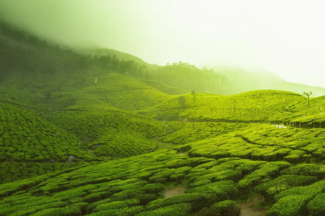
Ranked guide modules

Top Idukki experiences

15 picks

Image-led ranked cards for Idukki, pulled from the reusable Kerala guide modules so web, iOS and Android can share the same planning data.

15 ranked picks

Top 15 experiences in Idukki district

Expanded Idukki experiences across the new official attraction baseline: Munnar tea country, Eravikulam-Anamudi, Mattupetty-Echo Point-Kundala-Top Station, Periyar forest activities, Vagamon/Kurisumala, direct-source Vagamon food and stays, Ramakkalmedu and Idukki-Cheruthoni dam routes.

Open full guide →
E
Eravikulam National Park with official ticketing
Place
#1
Idukki · Munnar

Eravikulam National Park with official ticketing

Use the official park ticket record before planning the Nilgiri tahr and shola-grassland day; seasonal closure and capacity shape the route.

Official bookingWildlifeMunnar
K
KDHP Tea Museum and tea-estate context
Place
#2
Idukki · Munnar

KDHP Tea Museum and tea-estate context

A direct-source tea-country anchor for visitors who need more than viewpoints: museum, estate history and local tea interpretation.

Tea museumMunnarRainy day
M
Meesapulimala or Munnar Wildlife trekking plan
Place
#3
Idukki · Munnar

Meesapulimala or Munnar Wildlife trekking plan

Use official/authorized Munnar Wildlife records for trek planning instead of vague jeep-and-trek bundles.

TrekkingOfficial bookingHigh range
P
Pampadum Shola forest stay planning
Place
#4
Idukki · Munnar

Pampadum Shola forest stay planning

Official forest-stay inventory gives Idukki a stronger nature-night option when availability and access rules line up.

Forest stayOfficial bookingNature
Kolukkumalai sunrise jeep route, Idukki#5
Idukki · Munnar

Kolukkumalai sunrise jeep route

High tea-country sunrise routes need a real local operator, early start and weather buffer; avoid unverified jeep listings.

SunriseJeep routeTea hills
P
Periyar boating through official booking
Place
#6
Idukki · Thekkady and Kumily

Periyar boating through official booking

Thekkady’s simplest first-timer experience should be tied to the official Periyar boating channel and current availability.
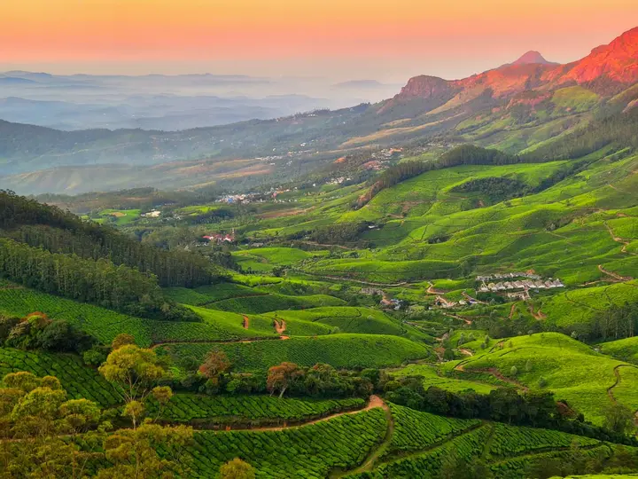
Official bookingPeriyarFamilies
Periyar bamboo rafting, Idukki#7
Idukki · Thekkady and Kumily

Periyar bamboo rafting

A higher-commitment Periyar forest activity where official booking, duration and fitness expectations matter.

Forest activityRaftingOfficial booking
P
Periyar Tiger Trail planning
Place
#8
Idukki · Thekkady and Kumily

Periyar Tiger Trail planning

Use the official Tiger Trail listing for serious forest-trek planning; do not substitute generic safari copy.
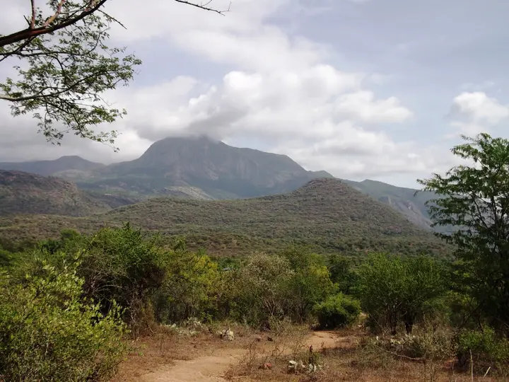
TrekPeriyarOfficial booking
K
Kumily jeep safari with verified operator
Place
#9
Idukki · Thekkady and Kumily

Kumily jeep safari with verified operator

A local operator-led jeep safari option that should be checked by exact package, pickup and source evidence.
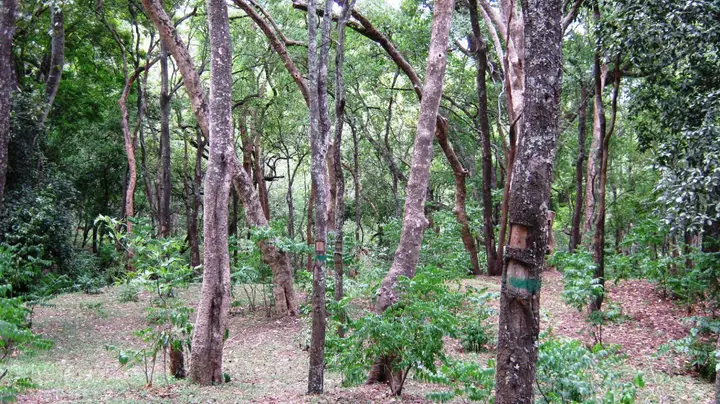
Jeep safariLocal operatorKumily
S
Spice Village slow-food dinner
Place
#10
Idukki · Thekkady and Kumily

Spice Village slow-food dinner

A verified CGH Earth dining experience that turns the Thekkady evening into more than a generic resort meal.

DiningSpice countrySlow food
A
Ayurveda or spa recovery in Thekkady
Place
#11
Idukki · Thekkady and Kumily

Ayurveda or spa recovery in Thekkady

Use direct-source spa records such as Elephant Court, Niraamaya or Sterling for treatment planning after forest activities.

WellnessThekkadyRecovery day
V
Vagamon meadows and Kurisumala
Place
#12
Idukki · Vagamon

Vagamon meadows and Kurisumala

A softer highland experience around DTPC Vagamon context, meadows and Kurisumala rather than a rushed Munnar repeat.

MeadowsHill stayPilgrim hill
V
Vagamon tea-garden resort stay
Place
#13
Idukki · Vagamon

Vagamon tea-garden resort stay

Use direct-source Vagamon stay records such as Casa Resto when the trip needs a quieter Kuvalettam tea-garden overnight with food and local trip support.

Tea gardenVilla staySlow travel
Ramakkalmedu wind-and-viewpoint loop, Idukki#14
Idukki · Ramakkalmedu

Ramakkalmedu wind-and-viewpoint loop

Best for a clear-weather border-view day with realistic road timing and no late hill-road return.

ViewpointWind farmsRoad trip
Idukki Arch Dam and Cheruthoni viewpoint day, Idukki#15
Idukki · Idukki and Cheruthoni

Idukki Arch Dam and Cheruthoni viewpoint day

A dam-and-reservoir route that works best with current access checks and daylight buffers between Munnar, Cheruthoni and Thekkady.

DamReservoirEngineering landmark
Image credits
Search guides

Hotels, restaurants and stay-budget guides in Idukki

Dedicated district guides for high-intent searches. Pages with limited verified supply stay visible for planning but are not submitted for search indexing until enough evidence-backed listings exist.

Food10 matches

Top 10 restaurants in Idukki district

Evidence-backed shortlist with verified local matches, direct planning context and clear next steps.

Search-ready guideOpen guide →
Hotels10 matches

Top 10 hotels in Idukki district

Evidence-backed shortlist with verified local matches, direct planning context and clear next steps.

Search-ready guideOpen guide →
Homestays10 matches

Top 10 homestays in Idukki district

Evidence-backed shortlist with verified local matches, direct planning context and clear next steps.

Search-ready guideOpen guide →
Resorts10 matches

Top 10 resorts in Idukki district

Evidence-backed shortlist with verified local matches, direct planning context and clear next steps.

Search-ready guideOpen guide →
Wellness10 matches

Top 10 Ayurveda and wellness places in Idukki district

Evidence-backed shortlist with verified local matches, direct planning context and clear next steps.

Search-ready guideOpen guide →
Operators10 matches

Top 10 tour operators in Idukki district

Evidence-backed shortlist with verified local matches, direct planning context and clear next steps.

Search-ready guideOpen guide →
Transport10 matches

Top 10 taxi and transport providers in Idukki district

Evidence-backed shortlist with verified local matches, direct planning context and clear next steps.

Search-ready guideOpen guide →
Budget stays10 matches

Top 10 cheap places to stay in Idukki district

Evidence-backed shortlist with verified local matches, direct planning context and clear next steps.

Search-ready guideOpen guide →
Budget stays10 matches

Top 10 budget stays in Idukki district

Evidence-backed shortlist with verified local matches, direct planning context and clear next steps.

Search-ready guideOpen guide →
Affordable hotels4 matches

Top 10 affordable hotels in Idukki district

Evidence-backed shortlist with verified local matches, direct planning context and clear next steps.

Search-ready guideOpen guide →
Mid-range stays10 matches

Top 10 mid-range stays in Idukki district

Evidence-backed shortlist with verified local matches, direct planning context and clear next steps.

Search-ready guideOpen guide →
Premium stays10 matches

Top 10 premium stays in Idukki district

Evidence-backed shortlist with verified local matches, direct planning context and clear next steps.

Search-ready guideOpen guide →
Luxury stays10 matches

Top 10 luxury stays in Idukki district

Evidence-backed shortlist with verified local matches, direct planning context and clear next steps.

Search-ready guideOpen guide →
Ultra luxury stays4 matches

Top 10 ultra luxury stays in Idukki district

Evidence-backed shortlist with verified local matches, direct planning context and clear next steps.

Search-ready guideOpen guide →
District plans

2-day and 3-day plans for Idukki

Practical district routes built from the guidebook towns, famous places and verified local inventory. Use them as a planning frame, then confirm temple, museum, forest, sea and transport conditions before travel.

2 daysIdukki district in 2 days

A compact high-range route that uses Munnar for tea country, Eravikulam and official forest bookings, then shifts to Thekkady/Kumily for Periyar and spice-country evenings.

First Idukki tripTea estatesPeriyar wildlife
Fast but realistic, with one Munnar day and one Periyar day
Day 1

Munnar tea country and high-range viewpoints

Base: Munnar
  1. MorningEravikulam National Park or KDHP Tea Museum

    Use the official park ticketing/closure status for Eravikulam; if access is tight, keep KDHP Tea Museum as the easier tea-country anchor.

  2. Late morningKDHP Tea Museum Munnar

    Add the verified KDHP museum listing for tea processing context and direct source evidence before estate-viewpoint hops.

  3. AfternoonMattupetty side or Kolukkumalai planning

    Choose easy viewpoints for a family trip; choose Kolukkumalai only with a trusted jeep/operator and early-start weather checks.

  4. EveningMunnar stay, spa or hotel restaurant

    Use verified stay/dining records such as Panoramic Getaway, Misty Mountain, Grand Plaza or The Fog instead of adding unverified restaurant names.

Day 2

Thekkady, Periyar and Kumily spice country

Base: Thekkady and Kumily
  1. Early morningDrive from Munnar to Kumily

    Start early and avoid packing the road day with extra waterfalls; hill-road travel time varies by weather and traffic.

  2. Late morningPeriyar official activity window

    Use official Periyar booking records for boating, bamboo rafting or Tiger Trail instead of third-party promises.

  3. AfternoonSpice plantation or Kumily town buffer

    Keep this flexible around forest activity timing, check-in and rain. Use direct-source stays and restaurants where possible.

  4. EveningThekkady resort dinner or Ayurveda

    Use verified Elephant Court, Niraamaya, Spice Village or Sterling records for dining, spa and stay decisions.

3 daysIdukki district in 3 days

A more comfortable Idukki plan with Munnar tea country, an official trek/forest stay option, Periyar wildlife and a Vagamon or Ramakkalmedu viewpoint add-on.

Hill-station circuitWildlife and treksSlow high-range stay
Comfortable, with fewer long drives per day
Day 1

Munnar tea estates and Eravikulam

Base: Munnar
  1. MorningEravikulam National Park

    Check official ticketing, seasonal closure and weather before committing; this is the best first anchor when open.

  2. AfternoonKDHP Tea Museum and town-side food

    Pair tea history with verified Munnar restaurants or hotel dining rather than a generic town-food list.

  3. EveningMunnar stay or spa

    Use verified official-source stays such as KDHP Tea Sanctuary, Blanket, Chandy’s Windy Woods, SpiceTree, The Fog or Panoramic Getaway.

Day 2

Munnar trek, forest booking or sunrise route

Base: Munnar
  1. Very earlyKolukkumalai sunrise or Meesapulimala planning

    Choose Kolukkumalai with a real jeep/operator and weather buffer, or Meesapulimala only through official/authorized booking.

  2. MiddayRest and route buffer

    High-range road days are tiring; keep lunch, rain and return transport loose.

  3. AfternoonMunnar Wildlife bookings or Pampadum Shola stay check

    Use Munnar Wildlife Division records for official trekking, park and forest-stay planning instead of informal offers.

Day 3

Periyar, Vagamon or Ramakkalmedu

Base: Thekkady and Kumily, Vagamon or Munnar
  1. Option APeriyar Tiger Reserve and Kumily

    Best for wildlife, spice-country stays, boating, bamboo rafting or Tiger Trail with official booking evidence.

  2. Option BVagamon meadows and Kurisumala

    Best for a softer meadow-and-hill stay, DTPC destination context and verified Vagamon resorts/glamping.

  3. Option CRamakkalmedu viewpoint

    Best for windy border views and a shorter high-range viewpoint day when road/weather conditions are clear.

Read before you go

Idukki guides, stories & itineraries

In-depth reads for planning a Idukki trip.

Model tea factory at the Tata Tea Museum, Munnar
Idukki · history
How tea came to Munnar: the story of the Kannan Devan hills
Read →
Tea plantations around Munnar, Idukki
Itinerary
Munnar in 2 Days: A Practical Hill-Station Itinerary
Read →
High grasslands of Eravikulam National Park near Munnar
Story
The Best Time to Visit Munnar (Season by Season)
Read →
Periyar Lake divides around a wooded slope, with bare trunks standing above the water.
Read before you go
Periyar Lake’s standing trees: a reservoir with a second life
Read →
A herd of gaur stands on the grassy bank beside Periyar Lake, with forest behind and water in the foreground.
Read before you go
Wildlife from the Periyar boat: learning to watch the far bank
Read →
Passengers wear orange lifejackets on a covered Periyar boat during wet weather.
Read before you go
Anavachal to the Periyar boat: understanding the two reporting points
Read →
An Eravikulam National Park passenger bus stands on the upper Rajamala road with hills behind it.
Read before you go
Rajamala’s park bus: lower entry, upper arrival and the walk
Read →
A Nilgiri tahr grazes among short vegetation on a Rajamala hillside.
Read before you go
Rajamala and the Nilgiri tahr: why the calving closure matters
Read →
The Forest Check Post Rajamala building has a green sign, a tiled approach and a small electric cart beside it.
Read before you go
Beyond the tahr sighting: Rajamala’s interpretation spaces
Read →
Water emerges from Anchuruli’s circular tunnel outlet over dark rock
Read before you go
Anchuruli’s tunnel: where Erattayar water reaches Idukki
Read →
White water spreads over Anchuruli’s rock slope before entering brown-green reservoir water
Read before you go
Anchuruli’s cascade and changing reservoir shore
Read →
Curved exposed banks and wooded promontories extend into the reservoir at Anchuruli
Read before you go
Why Anchuruli’s name is linked with five vessels
Read →
Lattice-tower wind turbine above the grassy Chathurangapara ridge and steep green rock slopes
Read before you go
Reading Chathurangapara’s wind-turbine ridge
Read →
Rectangular fields, tree plantations and distant settlements across the lower country seen from Chathurangapara
Read before you go
What lies below Chathurangapara Viewpoint?
Read →
Steep rock faces and wooded ridges seen across the valley from Chathurangapara
Read before you go
Chathurangappara: a hilltop name and a village history
Read →
Water and wooded banks beyond a metal-railed platform at Malankara
Read before you go
How Malankara carries Moolamattom water into irrigation
Read →
Malankara reservoir lies below wooded slopes, scattered buildings and a rocky hill
Read before you go
Malankara park and dam: what belongs to the visitor area
Read →
Leaves frame Malankara reservoir and a low wooded island beyond the near bank
Read before you go
Reading Malankara’s wooded reservoir shores
Read →
A jutting natural rock profile rises above the wooded valley at Parunthumpara
Read before you go
Parunthumpara’s Tagore Rock: finding the profile
Read →
Visitors follow steps and metal-railed sections across Parunthumpara’s grassy viewpoint slope
Read before you go
Parunthumpara’s viewpoint walk and return climb
Read →
Tea bushes cover slopes near Parunthumpara, with taller trees and wooded hills beyond
Read before you go
Parunthumpara and Peermade’s tea-road landscape
Read →
Ponmudi Dam’s exposed reservoir face and yellow gate equipment beneath a green rocky hill
Read before you go
How Ponmudi Dam fits the Panniyar power scheme
Read →
Obelisk beside Ponmudi’s approach with an inscription remembering workers lost during Panniyar project construction
Read before you go
The workers’ memorial beside Ponmudi Dam
Read →
Wooded valley below Ponmudi Dam, with a rocky slope on the left and hazy ridges beyond
Read before you go
Ponmudi Dam: the reservoir view and the valley view
Read →
Mist lies between densely wooded ridges in the Periyar landscape
Read before you go
How Thekkady’s lake became a conservation landscape
Read →
Bamboo rafts with seats are moored beside Periyar Lake in an archival photograph
Read before you go
Thekkady / Periyar: boating, Nature Walk or Bamboo Rafting?
Read →
A white egret stands on a trunk in Periyar Lake, with grass and wild pigs on the distant shore
Read before you go
Birdwatching from Thekkady’s lake and forest edge
Read →
Tea fields and tall trees on the highland approach to Top Station
Read before you go
Why Top Station has a railway name
Read →
A narrow earthen viewpoint path passes trees and railings above the valley at Top Station
Read before you go
Top Station’s viewpoint walk: plan the climb back
Read →
A wooded foreground ridge overlooks the deep valley and open mountain slopes at Top Station
Read before you go
Reading the valley view at Top Station
Read →
Two walkers wearing hats, backpacks and blue leech socks pause in sunlit grass at Periyar.
Read before you go
Periyar Nature Walk or Border Hiking: choosing your forest day
Read →
Rust-red bracket fungus grows from dead wood, with a small fly visible on the wood at the right.
Read before you go
Periyar Nature Walk: what a fallen log can reveal
Read →
An antlered sambar stands on a grassy slope with the lake behind it.
Read before you go
Periyar Nature Walk: watching the lake edge for wildlife
Read →
Bright green grass covers rounded Periyar ridges while darker forest fills the gullies.
Read before you go
Periyar Border Hiking: reading ridges and watersheds
Read →
Four hikers walk away along a ridge through tall grass, with layered hills beyond.
Read before you go
Periyar Border Hiking: Brandipara or Thondiyar reporting point?
Read →
A gaur stands in grass against a pale, misty hillside.
Read before you go
Periyar Border Hiking: watching gaur across open ground
Read →
Visitors with torches gather around an armed guide for a night-walk briefing at Periyar.
Read before you go
Periyar Jungle Patrol: what happens before the night walk
Read →
A brown frog rests on a dark, wet rock at night.
Read before you go
Periyar Jungle Patrol: noticing small life after dark
Read →
A group carrying torches follows an armed guide along a leaf-covered forest path at night.
Read before you go
Periyar Jungle Patrol: why forest protection continues after dark
Read →
A walking group pauses in grass beside a guide holding a walking stick, with dense forest behind.
Read before you go
Periyar Tiger Trail: the community story behind the guides
Read →
Blue lake water surrounds a grassy, wooded peninsula, with small rafts near the shore.
Read before you go
Periyar Tiger Trail: why an overnight stay changes the view
Read →
Walkers cross a narrow wooden plank above water at the edge of the lake.
Read before you go
Periyar Tiger Trail: crossings, pace and working as a group
Read →
A pale lilac Impatiens cordata flower with a long curved spur, photographed in the Anamudi Shola forest setting.
Read before you go
Anamudi Shola: why Mannavan’s forest was protected
Read →
The Methappu Log House terrace looks across a folded, wooded hillside.
Read before you go
Anamudi Shola: arriving at Methappu for a forest stay
Read →
The Methappu checkpost beside the road and wooded slopes at Anamudi Shola.
Read before you go
Anamudi Shola and Anamudi peak: two different visits
Read →
Anayirankal’s stone-covered embankment and adjoining channel below a tea-covered hill.
Read before you go
How Anayirankal Dam supports the Panniyar hydel system
Read →
Trees frame Anayirankal reservoir, a tea-covered projecting slope and distant mountains.
Read before you go
Anayirankal reservoir: reading the tea slopes around the water
Read →
Anayirankal’s paved crest, red-and-white parapet and stone-covered slope in a historical visitor photograph.
Read before you go
Anayirankal Dam and Elephant Abode: plan the right stop
Read →
The operator’s photograph of Chundal Ethnic Hut shows its thatched roof and woven wall panels.
Read before you go
Mathikettan Shola: from Cardamom Hill Reserve to national park
Read →
The balcony of Chundal A Frame Log House overlooks Anayirankal reservoir and distant hills.
Read before you go
Mathikettan Shola: streams, ridges and the Anayirankal view
Read →
Low sun above successive wooded ridges in the Mathikettan Shola landscape; this is a forest view, not a photograph of the newly described plants.
Read before you go
Mathikettan Shola: the forest behind two new plant names
Read →
The Nyamakad Estate and KDHP board above planted tea on the northern Munnar approach.
Read before you go
Nyayamakad Waterfalls: the estate name behind the stop
Read →
Anamudi seen beyond the cultivated landscape from the Nayamakad road.
Read before you go
Nyayamakad and Anamudi: the landscape along the northern road
Read →
Tea-covered slopes fade into mist on the southern approach to the Nyamakad locality.
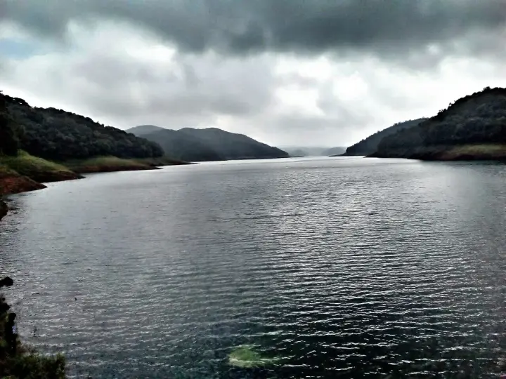
Read before you go
Nyayamakad Waterfalls in mist: planning the road-side view
Read →
A bend in the road passes through dense forest at Pampadum Shola.
Read before you go
Pampadum Shola: a forest road is not a trekking permit
Read →
A visitor stands beside a forest sign in the Pampadum Shola landscape.
Read before you go
Pampadum Shola wildlife: why patient observation matters
Read →
Cut stumps and low vegetation in a clearing below a densely wooded Pampadum hillside.
Read before you go
Pampadum Shola: forest protection and plantation restoration
Read →
Tall trees rise above tea planting on a misty Pothamedu hillside.
Read before you go
Pothamedu Viewpoint: how to read the tea valley
Read →
A wet narrow road between a rock-cut bank and vegetation on the Pothamedu approach, in an older photograph.
Read before you go
Pothamedu Viewpoint: planning a short road stop
Read →
Colourful roofs and a curving road in Pothamedu village, surrounded by tea slopes.
Read before you go
Pothamedu village and viewpoint: reading the wider locality
Read →
Dense vegetation at Chellarkovil frames a hazy view of the cultivated plains and distant mountains.
Read before you go
Chellarkovil watchtower: reading the view into Tamil Nadu
Read →
Planted garden paths and shelters below the watchtower at Chellarkovil.
Read before you go
Inside Chellarkovil’s ecotourism garden
Read →
White water descends through dark rock and dense vegetation on the Chellarkovil slope.
Read before you go
Chellarkovil waterfall: seeing the drop from the hillside
Read →
A narrow paved lane between tall trees and ordered planting at Murikkady, with a person and motorcycle.
Read before you go
Murikkady’s plantation roads: a landscape at working scale
Read →
A person on Murikkady’s uneven grassy slope above a wooded valley.
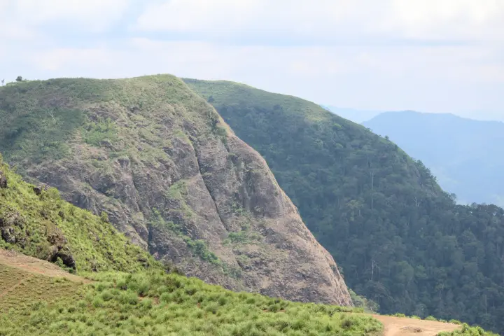
Read before you go
Murikkady beyond the spice walk: hills and wooded valleys
Read →
Climbing vines cover tree trunks above lower leafy planting in Kerala Tourism’s Murikkady plantation photograph.
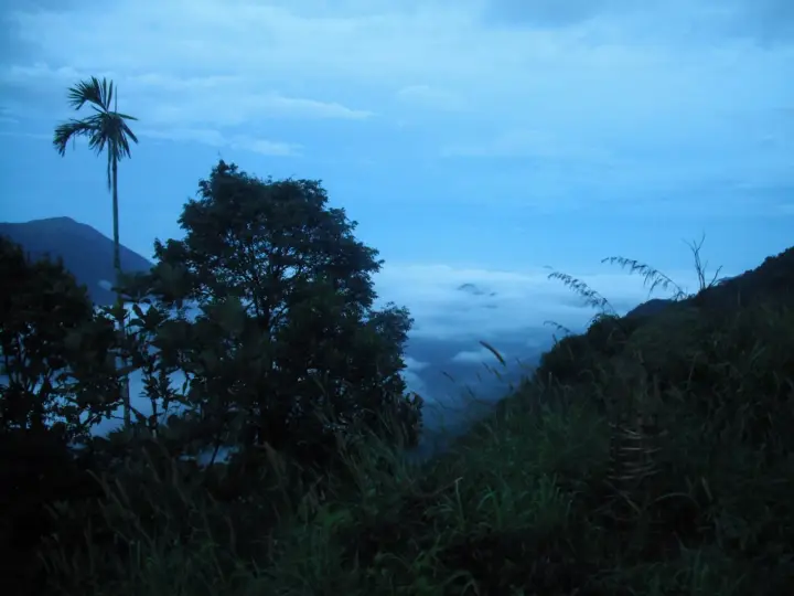
Read before you go
Murikkady or a Kumily spice garden: choosing the right visit
Read →
Life-jacketed passengers seated on a bamboo raft beside a forked standing trunk at Periyar.
Read before you go
Periyar bamboo rafting: full day or half day?
Read →
Standing trunks and their reflections in Periyar’s misty lake, with a softened forest bank beyond.
Read before you go
What a bamboo raft changes about seeing Periyar
Read →
A guide stands beside a bamboo raft in shallow water while life-jacketed passengers sit in rows.
Read before you go
Periyar bamboo rafting: why the guided walk matters
Read →
The dam’s downstream side and wooded valley in an archival view.
Read before you go
Kulamavu Dam’s role in the Idukki hydel system
Read →
A historical view of vehicles and roadside stalls at Kulamavu; current parking restrictions differ.
Read before you go
Kulamavu by road: the stop and the restrictions
Read →
Reservoir branches, exposed banks and layered hills near Kulamavu.
Read before you go
Kulamavu reservoir views: banks, branches and water level
Read →
A wet road curves between tea-covered slopes in Peermade mist.
Read before you go
Peermade’s plantation roads: from coffee to tea
Read →
Peermade’s town junction, with vehicles, signs and mist beyond the street.
Read before you go
Why Peermade is also Peerumedu: the name and its tradition
Read →
A rocky stream below wooded slopes and hillside homes in Peermade.
Read before you go
Peermade, Thekkady or Vagamon: choosing the right stop
Read →
A broad, heavy flow spreads over Valara’s dark rock face.
Read before you go
Valara Waterfalls: reading a roadside cascade safely
Read →
Valara seen through forest and spray in a June 2026 photograph.
Read before you go
Valara and the Deviyar: the river beside the Munnar road
Read →
Valara’s main rock face and lower boulders, partly framed by a foreground tree.
Read before you go
Valara and Cheeyappara: recognising two separate stops
Read →
Rolling tea estates in the hills of Munnar, Kerala
Story
Kerala’s Hill Stations: Munnar, Wayanad, Vagamon & Thekkady
Read →
Tea-covered hills near Munnar on the classic Kerala route
Itinerary
A 5-Day Kerala Itinerary: Kochi, Munnar & Alleppey
Read →
Forested Western Ghats hills in Kerala
Story
Kerala Wildlife: Periyar, Wayanad & the National Parks
Read →
Tea-covered hills near Munnar, Kerala
Itinerary
A 10-Day Grand Kerala Tour
Read →
Rolling tea estates in the hills of Munnar, Kerala
Itinerary
A 7-Day Kerala Itinerary: Kochi, Munnar, Thekkady & Alleppey
Read →
Forested Western Ghats hills near Munnar, Kerala
Itinerary
A Kerala Wildlife Itinerary: Periyar, Munnar & Wayanad
Read →
Boat on the Periyar reservoir at Thekkady
Guide
Thekkady & Periyar Tiger Reserve: A Practical Guide
Read →
Rolling green meadows at Vagamon, Idukki
Guide
Vagamon Travel Guide: Meadows, Pines & Paragliding
Read →
View from Kolukkumalai, the high tea estates near Munnar
Itinerary
Idukki Tea Country: A 3-Day High-Range Itinerary
Read →
Sunrise over tea hills near Kolukkumalai, Munnar
Idukki · day trips
Day trips from Munnar: beyond the tea gardens
Read →
Periyar reservoir at Thekkady, Idukki
Idukki · history
Thekkady: the lake that a dam made
Read →
The remote Mangala Devi Kannagi temple in the Western Ghats near Kumily, Idukki
Story
Mangala Devi: the mountain temple open one day a year
Read →
The giant Kuravan and Kurathi statue of a tribal couple standing on the windswept Ramakkalmedu ridge in Idukki, Kerala
Story
Ramakkalmedu: the wind that never stops and the stone couple who wait
Read →
Tea plantation hills at sunrise near Kolukkumalai
History
Kolukkumalai: The Story of the World’s Highest Tea Plantation
Read →
First light and cloud seen from Kolukkumalai.
Visitor guide
Kolukkumalai Sunrise Jeep Safari: A Visitor’s Guide
Read →
The tea factory at Kolukkumalai, photographed in 2008.
Tea
Inside Kolukkumalai’s Vintage Orthodox Tea Factory
Read →
Eravikulam National Park near Munnar
Wildlife & conservation
Eravikulam National Park: How the Nilgiri Tahr Found a Stronghold
Read →
A close view of a Nilgiri tahr’s head and curved horns at Rajamala.
Visitor guide
Eravikulam and Rajamala: planning the visitor zone and the flowering season
Read →
The Kuravan and Kurathi statue at Ramakkalmedu seen from below the railing, the seated tribal figures against an open sky
Legend & culture
The Kuravan and Kurathi of Ramakkalmedu: statue, legend and a name born of Rama
Read →
Weathered granite boulders on the Ramakkalmedu ridge in Idukki, Kerala, with the Western Ghats behind
Place & people
Ward 5: the Ramakkalmedu that nobody photographs
Read →
The sheer valley-side face of Ramakkal, a granite crag on the Ramakkalmedu ridge in Idukki, Kerala
Legend & landscape
Ramakkal: the rock that named Ramakkalmedu, and the two epics that claim it
Read →
A visitor standing on bare rock at the edge of the Ramakkalmedu escarpment above the farmed Tamil Nadu plain
Planning
You cannot watch the sunrise or the sunset from Ramakkalmedu viewpoint
Read →
Cropped grass and red earth on the Ramakkalmedu ridge with the farmed Tamil Nadu plain and a distant peak beyond
Landscape
Eight towns you can see from Ramakkalmedu, and how long each takes to reach
Read →
The Tamil Nadu plain seen from the grass slope at Ramakkalmedu, farmland stretching to the horizon under cloud
Visitor guide
Ramakkalmedu travel guide: Kerala's windiest hilltop viewpoint in Idukki
Read →
Vagamon meadows, Kerala
Idukki heritage
Vagamon's Tri-Faith Hills: Cross, Rock and Temple
Read →
Vagamon meadows, Kerala
Idukki hill station
Vagamon Travel Guide: Meadows, Pine and Paragliding
Read →
Vattavada valley, Idukki
Idukki high country
Vattavada: Kerala’s Cold-Climate Farming Village of Strawberries and Apples
Read →
Stepped cultivation across the Vattavada highlands.
Plan your visit
Vattavada Travel Guide: Farm Visits, Access and Things to Do
Read →
Cultivated slopes in the Vattavada highlands.
Roof of the Ghats
Vattavada: High-Range Base for Kolukkumalai and the Sahyadri Peaks
Read →
A small green-roofed motor launch crossing the Idukki reservoir, seen from high above through the tops of trees
Story
Why you cannot get onto the Idukki dam, and what Hill View Park is actually for
Read →
A tiled pavilion, a small white ticket hut and swing frames on the mown upper terrace of Hill View Park, with high ridges behind
Story
Hill View Park’s Adventure Zone is run with a village co-operative bank — and nobody will tell you if it is registered
Read →
The sun sitting just above a dark ridge line, in a sky of orange and grey cloud, seen from Hill View Park
Guide
An afternoon at Hill View Park: the measured distances, the fees, and why you should stay until seven
Read →
An east-south-east view over tea-covered hills from National Highway 85 in Pallivasal, Idukki district
Story
Two waterfalls are called Power House Falls, and Kerala Tourism is describing the other one
Read →
The Pallivasal Extension Scheme power house building and its switchyard on a wooded hillside near Munnar
Story
The power house that named this waterfall switched on in March 1940
Read →
The Muthirapuzha river running through the wooded valley at Pallivasal, seen from the highway above
Guide
A waterfall below a power station is not a natural waterfall
Read →
The Lockhart tea factory buildings and gardens on a slope of tea near Munnar, seen from above
Story
Who was Colonel Lockhart? Nobody can say — but here is the man who planted the estate
Read →
The Lockhart valley near Munnar under cloud, tea-covered slopes falling away below a ridge
Story
The tea below Lockhart Gap is not Kannan Devan tea
Read →
A wide panorama of tea-covered hills near Lockhart Gap, Munnar, with cloud on the ridges
Planning
Where is the 2026 Kurinji Garden gate? Two answers, 6.4 km apart
Read →
Two men standing on the grassy slope of Chokarmudy hill during a trek, with dry tussock grass around them
Story
How high is Chokramudi? Four published answers for one hill
Read →
The highway curving through Lock Heart Gap near Munnar with a rock cutting on one side and hills beyond
Story
Lock Heart: how a Scottish planter’s name became a heart-shaped lake
Read →
Close view of pale violet-blue neelakurinji flowers, Strobilanthes kunthiana, on a shrub in the Kerala high range
Story
The twelve-year flower: neelakurinji on Chokramudi, August 2026
Read →
An old stone and mud house with a timber door at Vattavada, bundles of cut staves leaning against the wall and tall grass behind
Story
The sanctuary made for the flower, in the year the flower is out
Read →
Terraced vegetable beds on a hillside at Vattavada with a small tin-roofed field hut among them
Story
Kadavari: the village inside the sanctuary that sends its harvest out by pony
Read →
A whole hillside of contour-terraced fields above Vattavada, with eucalyptus plantation on the ridge behind and a dirt road crossing the slope
Story
32 hectares or 32 square kilometres? A hundredfold error, copied everywhere
Read →
Dry scrub-covered hills under a cloudy sky in Chinnar Wildlife Sanctuary, with bare rocky ridges rising behind
Story
What a muniyara actually is: the Iron Age burial chambers behind the Chinnar Dolmen Culture trek
Read →
A white waterfall falling in threads down a dark rock face surrounded by dense green forest
Nature
The dry side of Munnar: why Chinnar, where the dolmen trek goes, gets a tenth of the rain
Read →
A tall metal observation tower with an enclosed cabin at the top, standing among trees against a pale sky
Practical
How to actually book a Chinnar trek — the two counters, the missing tariff and the website that no longer works
Read →
A wide valley of dry forested hills in Chinnar Wildlife Sanctuary, with a white waterfall visible in the middle distance
Practical
You can see Thoovanam falls from the road for free: the lay-by nobody writes about
Read →
The Pambar river running over pale boulders through Chinnar Wildlife Sanctuary, seen from the highway above
Story
The green thread through a dry forest: what the Thoovanam walk is actually for
Read →
Thoovanam waterfall falling in white threads down a dark rock face in dense green forest
Planning
Which river, how far, how high: the Thoovanam facts that do not agree with each other
Read →
The Kuravan and Kurathi statue at Ramakkalmedu seen from the front, two seated figures on a stone plinth behind a steel guard rail
Explainer
Kerala’s tourism department and its district tourism council do not agree how many figures are in the state’s most photographed statue
Read →
A bronze statue of Chemban Kolumban, an elderly man with a staff, at the memorial at Vellappara near Cheruthoni in Idukki
History
The statue is named after two hills. A man called Chemban Kolumban is the reason anyone built anything between them
Read →
The Idukki arch dam curving between two forested granite hills, photographed by the Kerala State Electricity Board
Explainer
A district named after a gap: what the Kuravan and Kurathi statue is actually a monument to
Read →
A wind turbine standing against the sky on the Ramakkalmedu ridge in Idukki
Explainer
Kerala measured this ridge for four years, then wrote that the wind is constant. Its own figures say June is two and a half times April
Read →
A red suspension footbridge over a river at Thookkupalam in Idukki
Explainer
Every source says Aamai Para is 6 km from Ramakkalmedu. Your map app says 2. Both are telling the truth
Read →
A person standing on a rock at the top of the Ramakkalmedu ridge with the Tamil Nadu plains spread out far below
Explainer
On the map, Ramakkalmedu’s famous statue and its famous rock are both in Tamil Nadu. Only the tortoise is in Kerala
Read →
A green Forest Department signboard at Chinnar Wildlife Sanctuary listing the types of forest and warning of heavy drought throughout the year
Explainer
The Forest Department’s own board says 250 mm. Its own literature says 500. At Vasyappara the answer decides whether you can wash
Read →
A rainbow arcing over a wide valley of dry green hills in Chinnar Wildlife Sanctuary, seen from the watch tower
Practical
Two gates, ten kilometres apart: why reporting at the wrong one costs you the day at Chinnar
Read →
A Muthuvan man sitting among cardamom plants in the Idukki hills
Explainer
The most expensive bed in Chinnar has no website, no tariff and an empty booking table
Read →
A low weir spilling white water into a rocky river channel, seen through tea bushes and dense green vegetation
Story
Why a flower garden in Munnar belongs to the electricity board: Blossom Hydel Park and the 1944 weir
Read →
A concrete headworks structure with orange piers spanning a river, framed by trees and shrubs on both banks
Practical
What ₹80 actually buys at Blossom Hydel Park — and why every travel site still says ₹50
Read →
A roadside electricity board compound with a small office, a stepped footbridge and noticeboards, tea slopes rising behind it
Practical
Blossom Hydel Park is the one Munnar sight you can reach without a taxi
Read →
Deep green valley and layered ridges below a Vagamon hillside
Vagamon · landscape
Why paragliders launch from Kolahalamedu
Read →
Rocky green Vagamon ridge beneath dark rain clouds
Vagamon · history
Vedikkuzhi: the other name in Vagamon paragliding
Read →
Entrance arch reading Shaikh Fareedudheen Maqam at Thangalpara
Vagamon · faith
Why Thangalpara calls itself a maqam
Read →
Misty path beside a pond beneath the rocky slope at Thangalpara
Vagamon · landscape
Thangalpara is a rock before it is a viewpoint
Read →
Mist rolling through a densely green valley in the Vagamon hills
Vagamon · field note
Why Windy Walk only takes six or seven walkers
Read →
Small Vagamon reservoir below a tea-covered hill with pedal boats on the water
Vagamon · map story
Vagavanam, Windy Walk and Kuvalettam: one route, three names
Read →
A small purple wildflower among wet grass on the Kolahalamedu ridge at Vagamon
Vagamon · safety
Vagamon paragliding: why a cancelled flight is the correct decision
Read →
Tall dark pine trunks and spreading needle-covered branches seen vertically from the forest floor at Vagamon
Vagamon · landscape
Vagamon Pine Forest: how to see the plantation in the trees
Read →
Tall pine trunks leaning inward around a pale opening in the canopy at Vagamon
Vagamon · field note
Vagamon Pine Forest: the walk goes down first
Read →
Sunlight breaking through tall pine trunks viewed from the needle-covered floor at Vagamon
Vagamon · photography
Vagamon Pine Forest: light above, needles below
Read →
Twin stone-strip paths curving beside mist-covered water and trees at Thangalpara
Vagamon · pilgrim landscape
Thangalpara: the path around the water is part of the shrine
Read →
Pine branches converging around a bright overcast sky in Vagamon
Vagamon · weather
Vagavanam Windy Walk: when the view disappears
Read →
Official eco & forest programmes

Forest stays, camping, treks and safaris in Idukki

These are official or public-sector ecotourism offerings mapped to the district. Availability, tariffs, permits and entry rules can change with forest conditions, so travellers should confirm with the official operator before booking.

Meesapulimala trek through Rhodo Valley, IdukkiMunnar
trekforest staycamping

Meesapulimala trek through Rhodo Valley

Hard high-altitude trek from the Munnar side via Rhodo Valley, run through KFDC eco-tourism with guide, food and stay options.

Munnarhard
Official source →
Munnar Base Camp tent stay, IdukkiMunnar
campingforest staytrek

Munnar Base Camp tent stay

KFDC tent stay near Meesapulimala base camp, with campfire, food and optional trek towards Meesapulimala or Rhodo Valley.

Munnartentmoderate
Official source →
Munnar Sky Cottage, IdukkiMunnar
forest staytrekviewpoint

Munnar Sky Cottage

Lonely cliff-side KFDC cottage facing a waterfall and Anamudi views, paired with Meesapulimala trekking.

Munnarforest cottagemoderate
Official source →
Munnar Rhodo Mansion, IdukkiMunnar
forest staytrekviewpoint

Munnar Rhodo Mansion

KFDC Rhodo Valley night stay with elephant-trench protection, campfire, food and next-day Meesapulimala climb.

Munnarforest cottagehard
Official source →
Eravikulam National Park visit, IdukkiMunnar
wildlifeviewpoint

Eravikulam National Park visit

High-altitude grassland national park and Nilgiri tahr habitat near Munnar.

Munnareasy
Official source →
Chinnar Wildlife Sanctuary eco visit, IdukkiMunnar
trekwildlifeforest stay

Chinnar Wildlife Sanctuary eco visit

Dry-forest wildlife sanctuary east of Munnar, listed in Kerala Tourism’s ecotourism inventory.

Munnarvaries
Official source →
Pambadum Shola National Park eco visit, IdukkiMunnar
trekwildlifeforest stay

Pambadum Shola National Park eco visit

Shola forest national park near the Munnar/Vattavada side, listed as an ecotourism destination and programme.

Munnarvaries
Official source →
Anamudi Shola eco visit, IdukkiMunnar
trekwildlife

Anamudi Shola eco visit

Shola-grassland forest landscape in Idukki, included in Kerala Tourism’s official ecotourism destination list.

Munnarvaries
Official source →
Marayoor sandalwood forest eco visit, IdukkiMunnar
wildlifeinterpretationtrek

Marayoor sandalwood forest eco visit

Sandalwood and dry-forest landscape on the Munnar-Chinnar side, listed by Kerala Tourism as an ecotourism destination.

Munnarvaries
Official source →
Mathikettan Shola eco visit, IdukkiThekkady and Kumily
trekwildlife

Mathikettan Shola eco visit

Shola forest landscape in Idukki listed in Kerala Tourism’s ecotourism inventory.

Thekkady and Kumilyvaries
Official source →
Idukki Wildlife Sanctuary eco visit, IdukkiIdukki and Cheruthoni
wildlifeboatingviewpoint

Idukki Wildlife Sanctuary eco visit

Forest and reservoir wildlife sanctuary around the Idukki-Cheruthoni dam landscape.

Idukki and Cheruthonieasy
Official source →
Kalvari Mount ecotourism viewpoint, IdukkiIdukki and Cheruthoni
viewpointtrek

Kalvari Mount ecotourism viewpoint

Idukki reservoir viewpoint and pilgrimage hill, connected with Kerala Forest Ecotourism listings.

Idukki and Cheruthonieasy
Official source →
Periyar Bamboo Rafting, IdukkiThekkady and Kumily
raftingtrekwildlife

Periyar Bamboo Rafting

Day-long or half-day rafting-plus-trekking programme through Periyar Tiger Reserve, with small raft groups and forest guide support.

Thekkady and Kumilymoderate
Official source →
Periyar Nature Walk, IdukkiThekkady and Kumily
trekbirdingwildlife

Periyar Nature Walk

Guided 4-5 km interpretive walk through Periyar’s mixed habitats, offered in multiple daily slots.

Thekkady and Kumilyeasy
Official source →
Periyar Green Walk, IdukkiThekkady and Kumily
trekbirdingwildlife

Periyar Green Walk

Guided interpretive walk through Periyar’s trails with trained tribal guide support and small group limits.

Thekkady and Kumilyeasy
Official source →
Periyar Jungle Scout night trek, IdukkiThekkady and Kumily
trekwildlife

Periyar Jungle Scout night trek

Guided night trekking programme in the periphery of Periyar’s eco-development zone with armed guard support.

Thekkady and Kumilyhard
Official source →
Periyar Border Hiking, IdukkiThekkady and Kumily
trekwildlife

Periyar Border Hiking

Day-long hiking programme through Periyar’s undulating forest terrain, with guide support and food included in the official listing.

Thekkady and Kumilyhard
Official source →
Periyar Tiger Trail camping trek, IdukkiThekkady and Kumily
campingforest staytrek

Periyar Tiger Trail camping trek

Multi-day guided trekking and camping programme inside Periyar, with tent stay and meals; prior booking is needed.

Thekkady and Kumilytenthard
Official source →
Periyar Bamboo Grove eco lodge, IdukkiThekkady and Kumily
forest staybirdingtrek

Periyar Bamboo Grove eco lodge

Eco-lodge accommodation in bamboo thickets with orientation, tribal-colony visit, wildlife film, birdwatching, trekking and boat ride.

Thekkady and Kumilyeco lodgeeasy
Official source →
Periyar Jungle Inn watchtower stay, IdukkiThekkady and Kumily
forest staywildlife

Periyar Jungle Inn watchtower stay

Forest cottage/watchtower-style stay at Kokkara, about an hour’s walk from the forest checkpost.

Thekkady and Kumilywatchtowermoderate
Official source →
Periyar Jungle Camp, IdukkiThekkady and Kumily
campingforest staybirding

Periyar Jungle Camp

Tented camping near the Periyar River with meals, birdwatching, Gavi safari and optional Periyar Lake boat ride in the official listing.

Thekkady and Kumilytentmoderate
Official source →
Getting there

How to reach Idukki

Nearest airportCochin (COK), ~100–110 km
Rail gatewayKottayam (KTYM) or Ernakulam
District HQPainavu
LandscapeHigh Western Ghats — tea & spice hills

Idukki is known for Munnar tea country, Thekkady/Periyar wildlife and the Cardamom Hills.

Munnar tea estatesPeriyar Tiger Reserve, ThekkadyCardamom & spice plantations

By road from major cities

Approximate driving distance to Painavu. Ghat roads and traffic make real journey times vary a lot — allow extra, and confirm your route before travel.

Kochi107 km
Madurai172 km
Thiruvananthapuram226 km
Coimbatore252 km
Kozhikode276 km
Mysuru411 km

Getting around locally

Autos, app-cabs, state buses and trains cover Idukki. These are the apps worth installing before you go — fares and availability vary by town.

IRCTC Rail Connect official / fair-fare
Trains · official

The official Indian Railways app — book reserved train tickets, check PNR status and live running along Kerala’s coastal line.

  • Official IRCTC booking
  • PNR, live status & seat availability
  • Covers the whole coastal corridor
  • Account + OTP setup needed
  • Tatkal quick-book fills within minutes
Ente KSRTC Neo-oprs official / fair-fare
State buses · official

Kerala’s government bus-reservation app (KSRTC SWIFT) for advance booking on long-distance and interstate KSRTC services.

  • Official Govt of Kerala KSRTC app
  • Advance seat reservation
  • PNR & cancellation
  • Ordinary/local buses aren’t reservable — just board and pay onboard
redBus
Buses · booking

India’s biggest bus-ticketing platform — book seats on KSRTC and private operators for routes across Kerala and interstate journeys.

  • Huge network of KSRTC + private operators
  • Seat selection and live tracking on many services
  • Widely used and reliable
  • Ordinary/local town buses aren’t listed — board and pay onboard for those
Uber
Cabs

The familiar ride-hailing app for metered cabs across Kochi, with upfront pricing.

  • Upfront fare, no haggling
  • Works 24×7, English app
  • Easy for airport and longer city trips
  • Pickups can be slow inside the narrow Fort Kochi lanes
  • Surge pricing at peak times
Ola
Autos & cabs

India’s home-grown app — and crucially it has Ola Auto, so you can book a metered rickshaw, not just a cab.

  • Books autos (Ola Auto) as well as cabs
  • Wide driver coverage in the city
  • Upfront fares
  • Surge and occasional cancellations at busy times
Rapido
Bike, auto & cab

Best known for cheap bike taxis, Rapido also books autos and cabs and runs a “Bike-Metro” feeder to Kochi Metro stations.

  • Cheapest option for quick solo hops
  • Also does autos and cabs
  • Bike feeder to/from Metro stations
  • Smaller cab fleet than Uber/Ola

Rapido’s bike-taxi service has faced union opposition and legal disputes in Kerala (2026), so bike-taxi availability can be disrupted. Its auto and cab bookings are unaffected.

Namma Yatri official / fair-fare
Autos & cabs · zero-commission

A zero-commission auto and cab app — drivers keep 100% of the fare, which often means a lower price for you.

  • Drivers keep the full fare; often cheaper
  • Direct UPI payment
  • No surge gimmicks
  • Smaller driver pool than Uber/Ola — wait can be longer off-peak
Yatri (Open Kochi) official / fair-fare
Autos & cabs · Kochi-built

Kochi’s own open-mobility auto and cab app, built with the local auto unions on a zero-commission model.

  • Made for Kochi; fair, transparent fares
  • Supports local drivers directly
  • Coverage and availability vary by area and time
Kerala Savaari official / fair-fare
Autos & cabs · govt-backed

Kerala’s government-backed community ride app for autos and cabs, with regulated, transparent fares.

  • Official Kerala Motor Vehicles Dept backing
  • Transparent, regulated fares
  • Newer service — driver supply is still thinner
Kochi1 (KMRL + Axis Bank) official / fair-fare
Metro & Water Metro

The official Kochi Metro app: buy QR tickets for the Metro and Water Metro, and manage the Kochi1 travel card.

  • One app for Metro + Water Metro QR tickets
  • 20% off fares with the Kochi1 card
  • Official KMRL app
  • Transit only — does not book autos or cabs
Zoomcar
Self-drive cars · rental

India’s largest self-drive car-hire platform — rent a hatchback, sedan or SUV by the hour, day or week and drive it yourself.

  • Widest South-India coverage — Kochi, Trivandrum, Calicut, Chennai, Coimbatore, Madurai
  • Hourly to weekly hire with unlimited-kilometre options
  • Doorstep delivery in many cities
  • Peer-to-peer, so car condition varies by host
  • Check the security-deposit and fuel policy before booking
MyChoize
Self-drive cars · rental

ORIX-owned self-drive car rental with a company-managed fleet, unlimited-kilometre packages and doorstep delivery.

  • Professionally managed fleet — more consistent than peer-to-peer
  • Unlimited-kilometre plans and home delivery
  • Covers Kochi and Chennai
  • Fewer cities than Zoomcar
Royal Brothers
Bike & scooter · rental

South India’s largest two-wheeler rental — hire a scooter or motorcycle (including Royal Enfields) and ride it yourself.

  • Strong branch network across Kerala and Tamil Nadu
  • From Activa scooters to Royal Enfields
  • Hourly, daily and monthly plans, some inter-city drops
  • Deposit and licence verification needed at pick-up
  • Popular models sell out in peak season
ONN Bikes
Bike & scooter · rental

App-based two-wheeler rental with hourly, daily and monthly scooter and bike hire from neighbourhood pick-up points.

  • Cheap hourly and long-term plans
  • Fully digital licence upload and booking
  • Network is thin outside Kochi — check local stock first

Core cities are Bengaluru, Hyderabad and Pune; in Kerala availability is largely limited to Kochi, so confirm stock before relying on it.

What it costs

Daily budget for Idukki

A quick estimate using typical Kerala daily costs. Off-season (monsoon) can cut accommodation 30–60%. Excludes flights and big-ticket experiences.

Trip budget estimator
Estimated total₹35,000 – ₹55,000

Mid-range: comfortable hotels, some private transport, mix of dining.

Rough estimate for stays, food, local transport & sightseeing — excludes international flights. Off-season (monsoon) can cut accommodation 30–60%.

Good to know

Idukki — frequently asked questions

How do I reach Idukki?

For Idukki, the nearest airport is Cochin (COK), ~100–110 km, and the rail gateway is Kottayam (KTYM) or Ernakulam. The district headquarters is Painavu.

What is Idukki known for?

Idukki is known for Munnar tea country, Thekkady/Periyar wildlife and the Cardamom Hills. Highlights include Munnar tea estates, Periyar Tiger Reserve, Thekkady, Cardamom & spice plantations.

What are the top places to visit in Idukki?

Popular places in Idukki include Amrithamedu, Ayyappancoil Hanging Bridge, Madammakkulam Waterfalls, Munnar, Eravikulam National Park, and more — see the full guidebook list on this page.

How many days do you need in Idukki?

Two to three days covers the highlights of Idukki at a comfortable pace. We have ready-made 2-day and 3-day plans for it on this page.

When is the best time to visit Idukki?

October to March is the driest and most comfortable season across Kerala, including Idukki. The June–September monsoon is lush and green but wet, and often brings lower low-season prices.

Plan your trip

Kerala guides

Image credits