Pothamedu names more than a single view. The wider locality contains homes, roads, cultivated slopes and visitor accommodation, while the viewpoint marks one place from which to look across that landscape. Keeping those two scales distinct makes both a scenic stop and an overnight stay easier to understand.
A settlement within the tea landscape
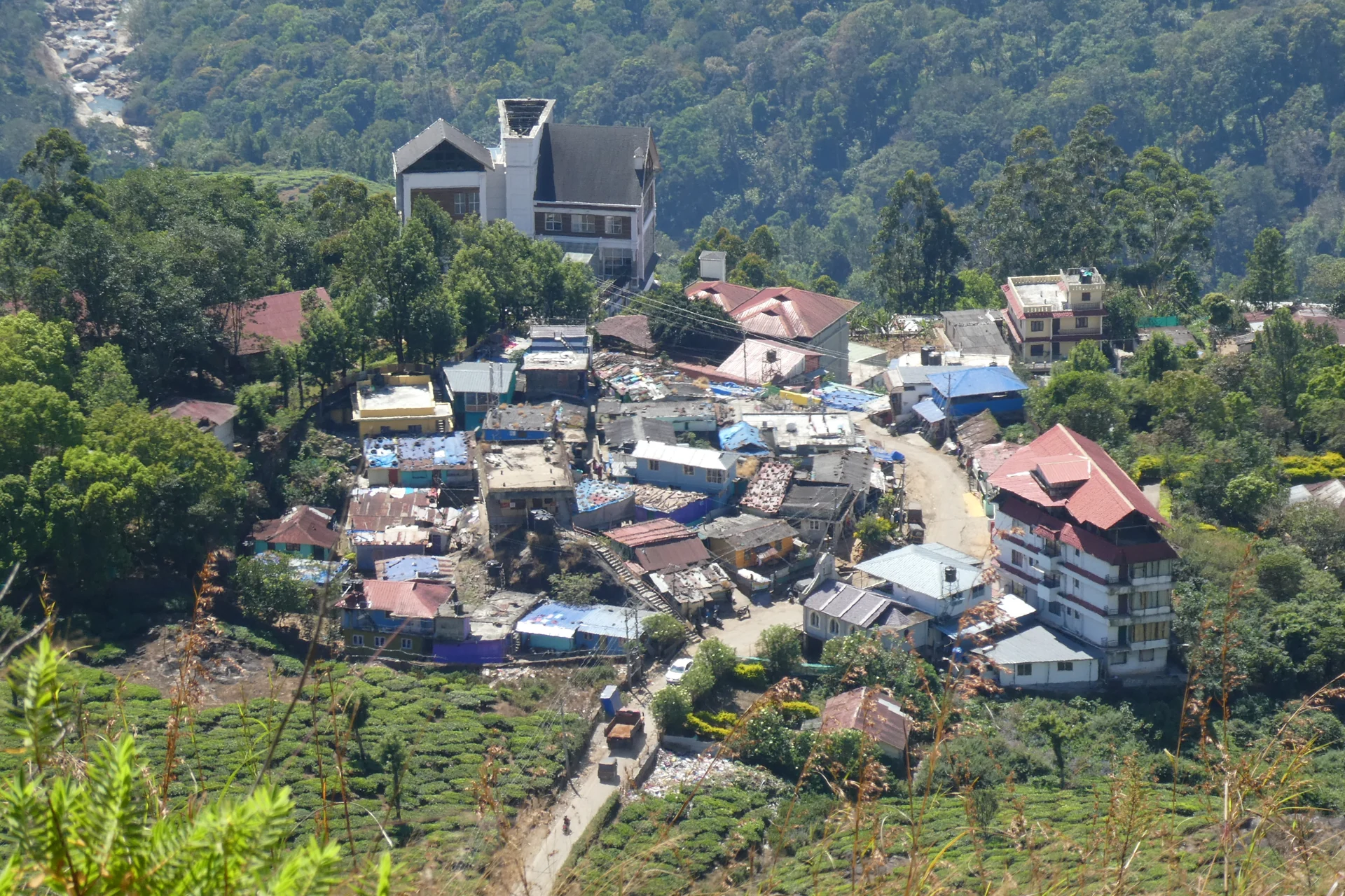
The village photograph shows coloured roofs clustered around a curving road, with tea-covered slopes above and a rocky watercourse visible higher in the frame. Buildings and cultivation occupy the same terrain. The scene gives Pothamedu a human scale that can disappear in a tightly cropped plantation panorama.
Roads connect those separate uses. They carry residents and work traffic as well as visitors travelling to accommodation or a viewpoint. The road is therefore part of everyday movement through the locality, not a viewing platform reserved for tourism.
Looking at the settlement also changes how the surrounding green slopes are read. A house, an access lane and a crop plot form a working arrangement. The landscape’s visual appeal exists alongside those ordinary uses rather than replacing them.
One name, different arrivals
A viewpoint marker is useful for a brief scenic stop. A property address is useful for reaching a booked stay. Forwarding one in place of the other can leave a driver at an attractive outlook while the intended accommodation lies elsewhere in the locality.
For a stay, use the property’s own entrance and final approach instructions. Ask about the road and the distance between the vehicle stopping place and the room if either affects the group. The fact that a booking is described as Pothamedu does not establish a level approach or a view identical to the public outlook.
For the viewpoint, plan around the safe stopping area and the weather. A panoramic photograph taken elsewhere in the village may explain the wider setting without showing the exact view from the marked point.
Give the locality time to make sense
An overnight visitor can notice the area at a different pace from someone pausing for a photograph. Light on the planted slope, movement along the road and the relationship between nearby buildings become more apparent. That slower attention does not require unarranged access to estates or private paths.
A day visitor can still recognise the same distinction. Look at the landscape as a place where people live and work, then enjoy the particular outlook from the permitted roadside position. If a meal or a longer walk is wanted, attach it to a named business or host rather than assuming the viewpoint supplies it.
Pothamedu’s wider identity is therefore useful, not a complication. The settlement provides context; the viewpoint offers a particular perspective. Naming each accurately allows the visit to match what was actually planned.
Plan the visit: Pothamedu Viewpoint.