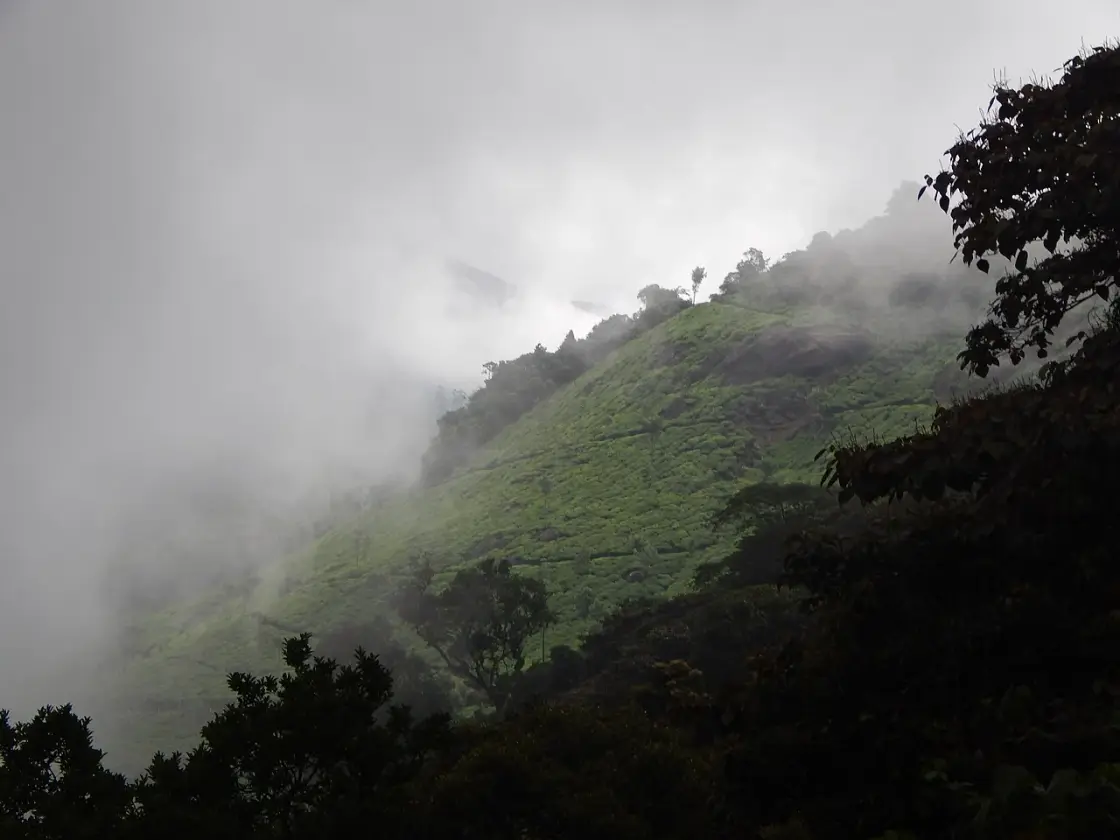
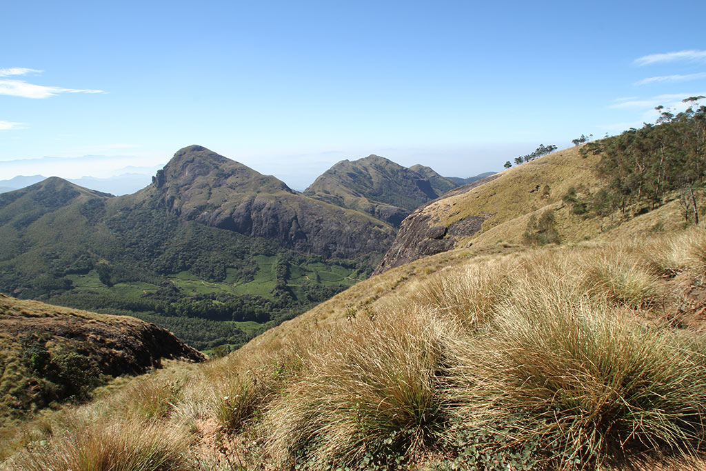
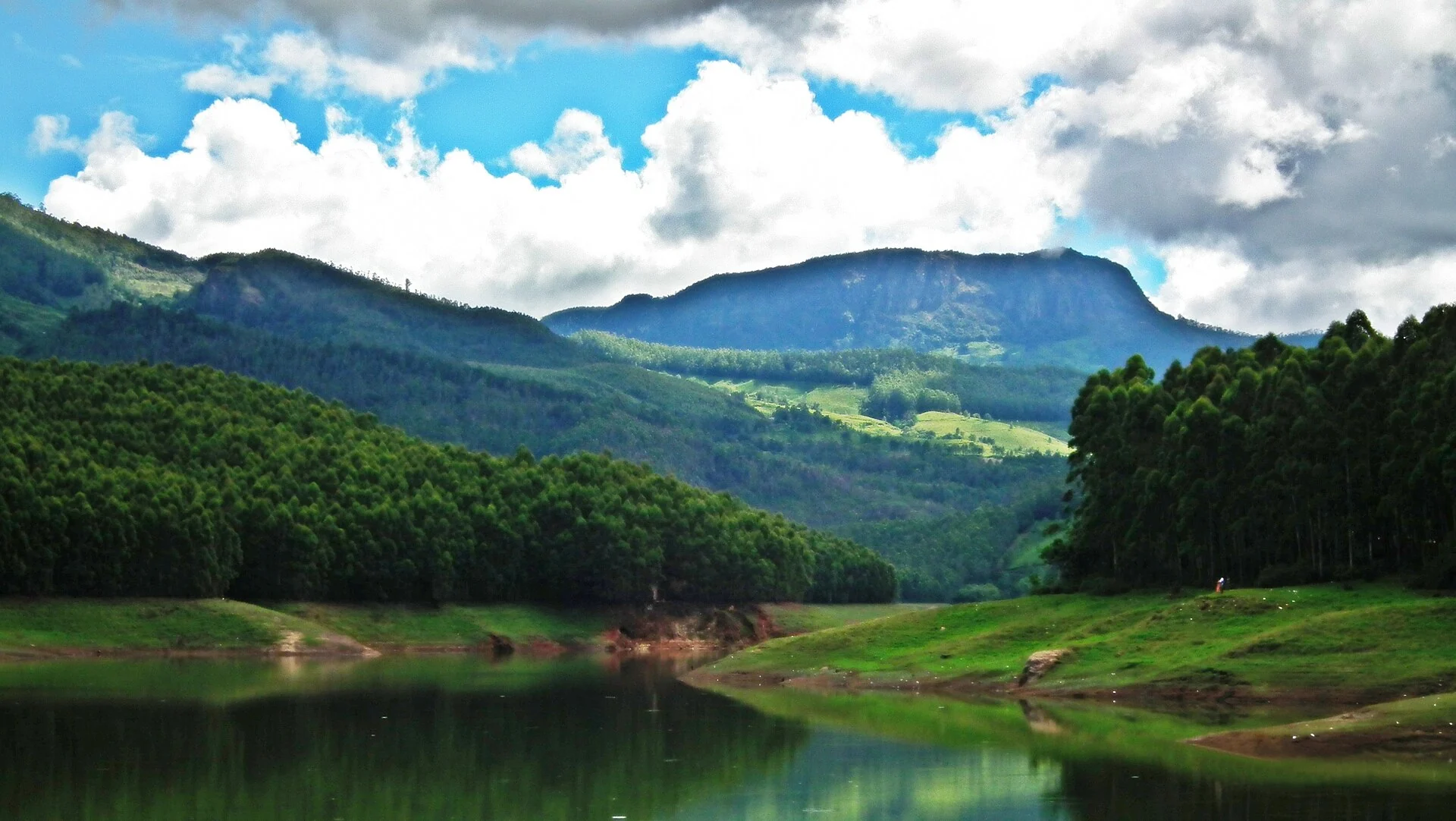
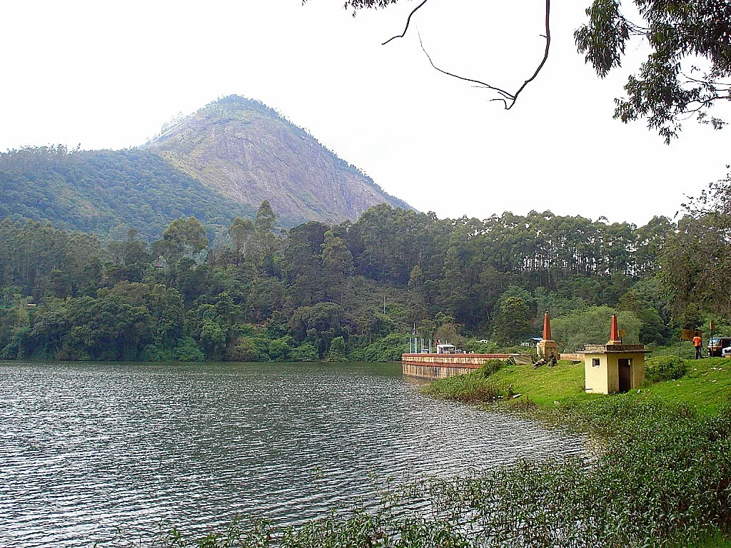
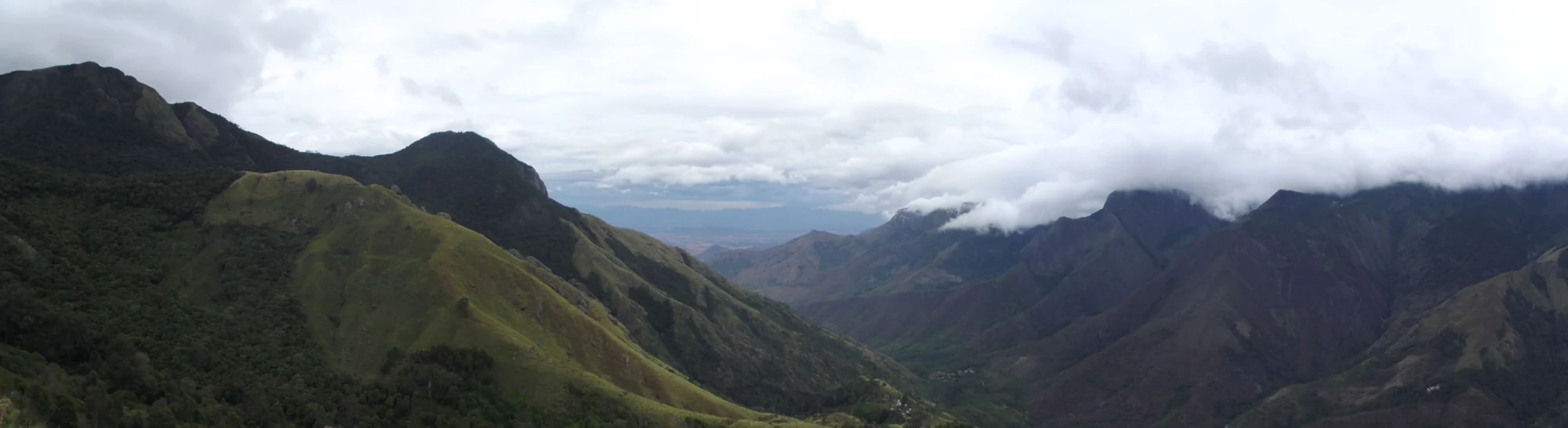
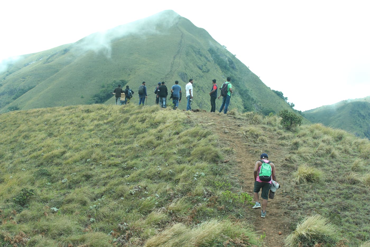
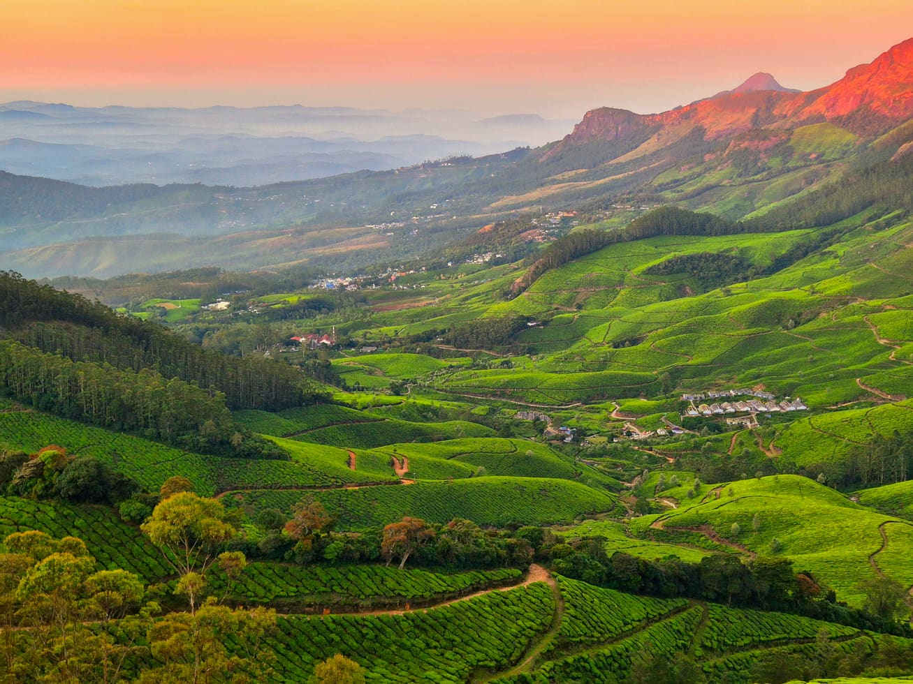
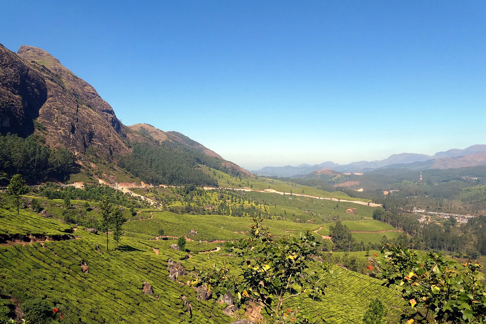
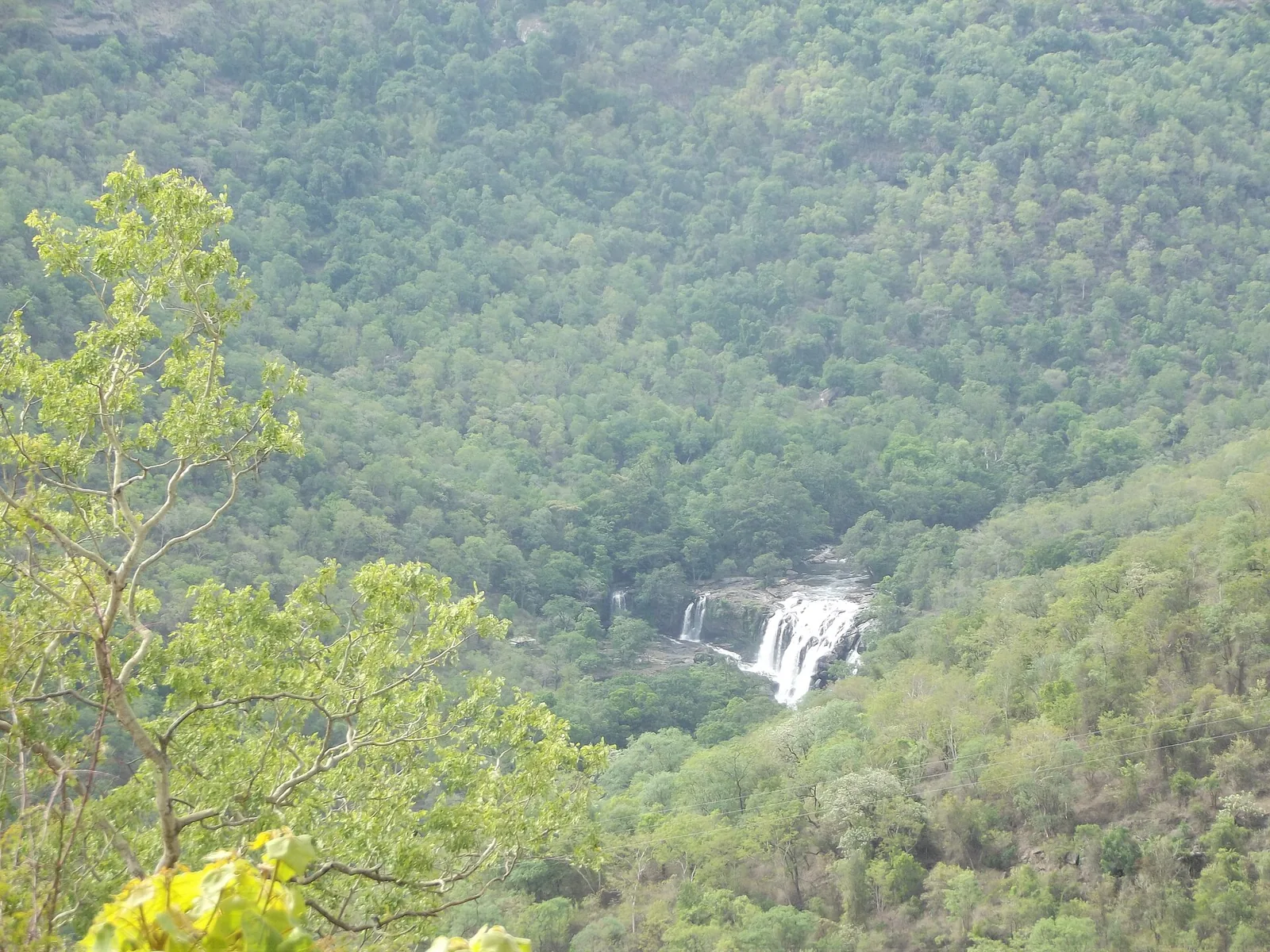
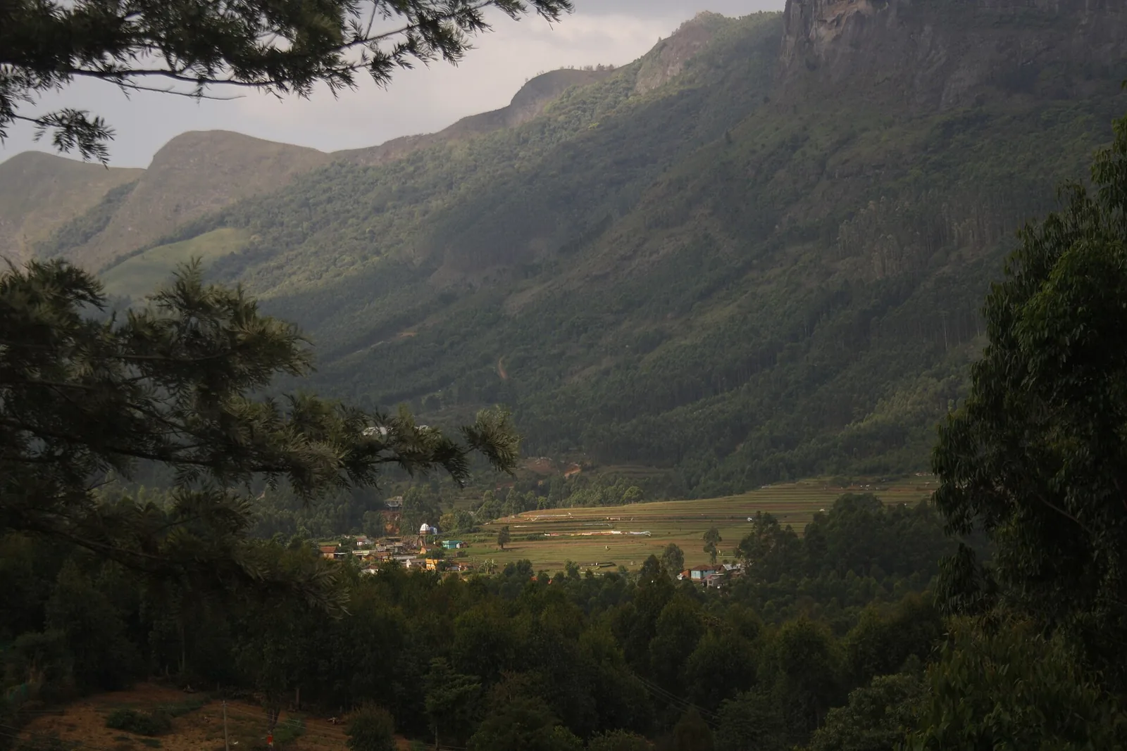
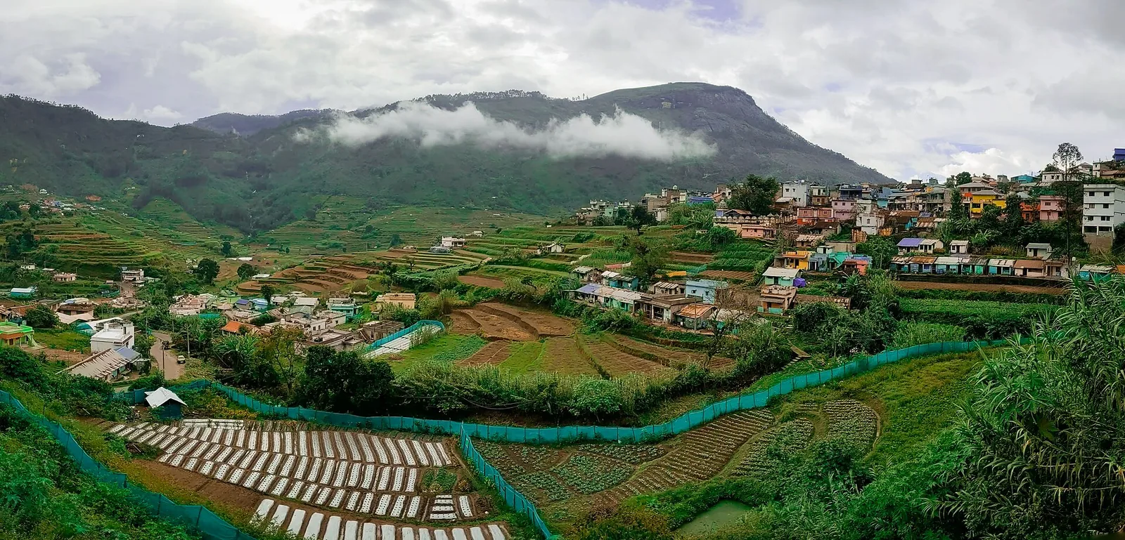
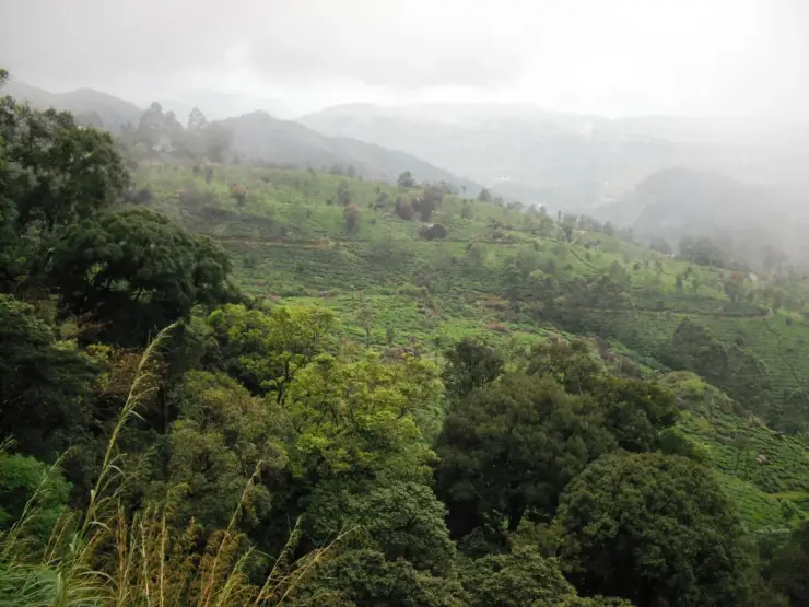
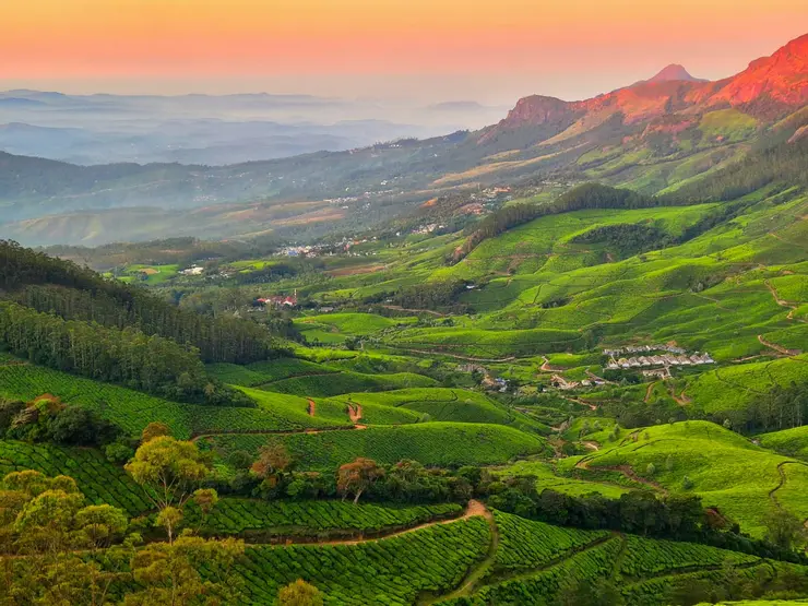
Pothamedu makes the shape of a planted hillside easy to see. Low tea bushes follow the folds of the ground, scattered taller trees interrupt their pattern and darker vegetation fills the hollows. The view is most interesting when those different layers are read together.
The story of Pothamedu Viewpoint
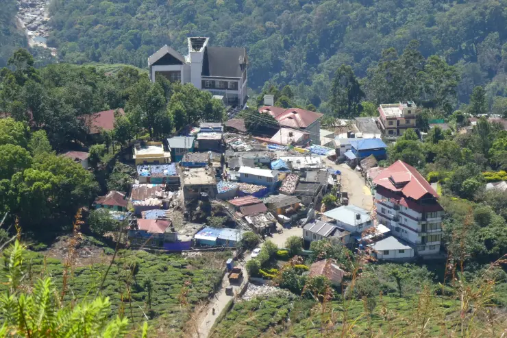
The viewpoint belongs to Pothamedu’s wider hill settlement, south of central Munnar. Its identity is therefore both a particular road stop and a surrounding landscape used for cultivation and accommodation. Keeping those scales separate helps explain why a hotel address, a village map label and the viewing point can all be called Pothamedu without being the same arrival location.
Tea is the most readily recognisable crop in the wide views. The bushes create a low, closely worked surface, crossed by narrow lines that reveal access through the planting. On a steep slope the pattern makes changes in gradient easier to read. A rounded shoulder and a sharp hollow can become more apparent through the cultivated texture than through the hill’s outline alone.
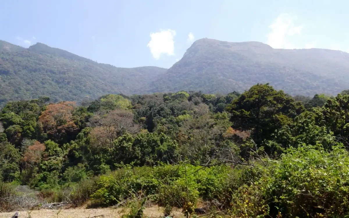
The taller vegetation provides a second layer. Trees rise above the tea while more irregular growth occupies parts of the valley. Those dark areas interrupt the uniformity of the plantation and give a photograph its depth. A useful composition can include the foreground canopy, the patterned middle slope and a distant ridge instead of relying entirely on an open horizon.
Kerala Tourism describes tea, coffee and cardamom cultivation in the Pothamedu area. That does not mean all three crops can be identified from the same roadside position. A broad panorama is good for seeing the arrangement of the land; a guided plantation visit is better for recognising individual crops and learning how they are grown. The two experiences answer different questions.
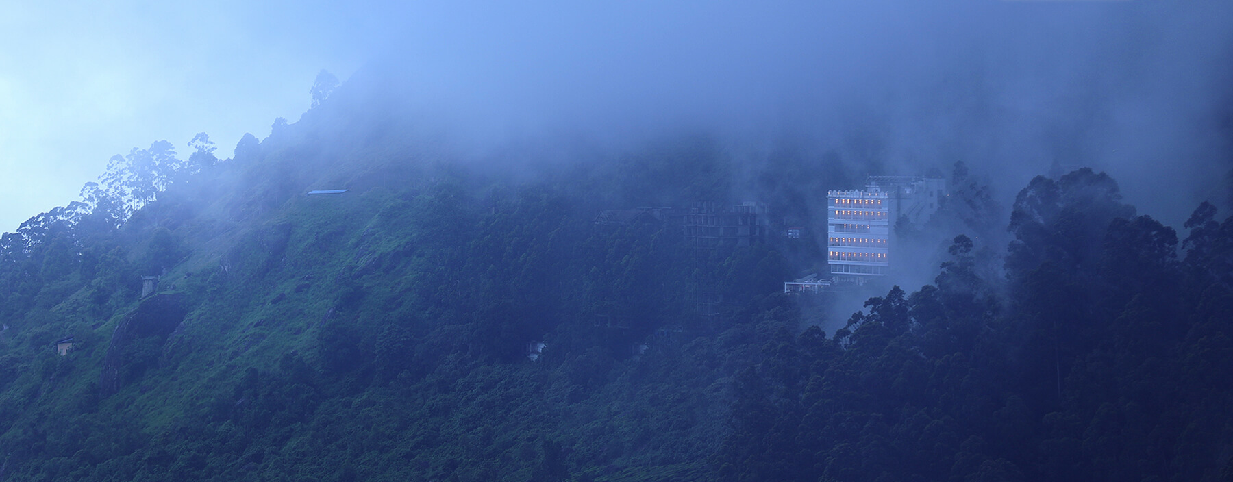
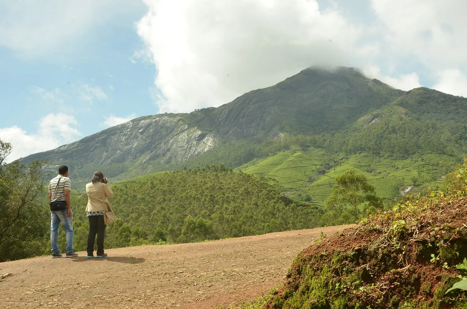
Mist changes the apparent depth of Pothamedu’s valley. The nearest tea slope can remain green and sharply patterned while the background disappears; as the cloud thins, successive ridges return. A photograph with a nearby tree or planted shoulder in the foreground can show that changing distance even when the horizon is hidden.
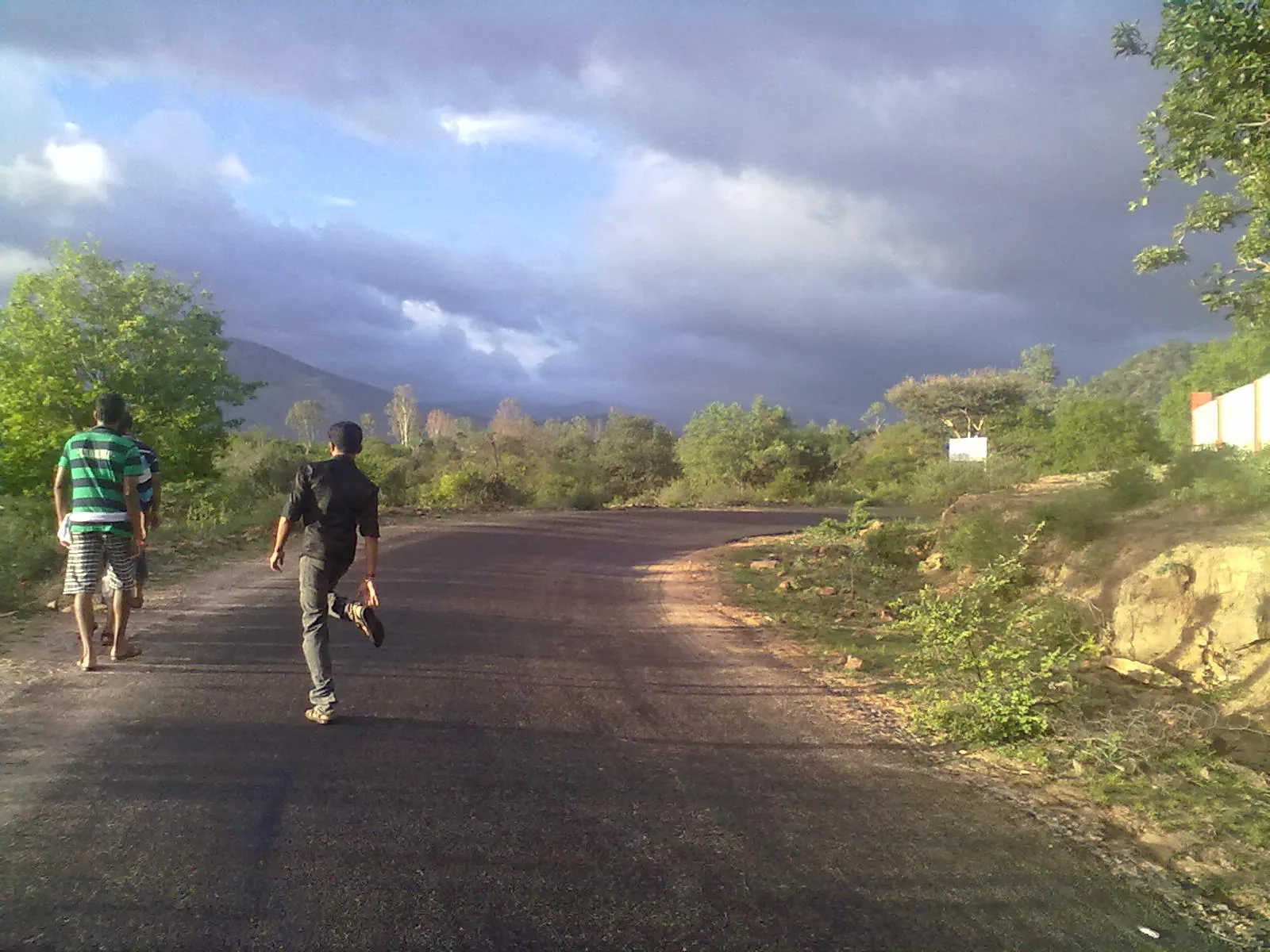
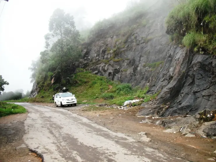
The approach road cuts close to the hillside, with exposed rock beside the carriageway and planted slopes beyond. Its tight relationship with the terrain is part of the view. Keep the vehicle clear of passing traffic and choose the standing position before concentrating on the camera.
Read the full history of Pothamedu Viewpoint 224 more words
History
Cultivation has given Pothamedu its recognisable surface: closely worked tea bushes, narrow access lines and taller trees above the planting. Kerala Tourism also identifies coffee and cardamom in the wider locality. The panorama shows the scale of that cultivated landscape; an arranged plantation visit brings the individual crops and their work into focus.
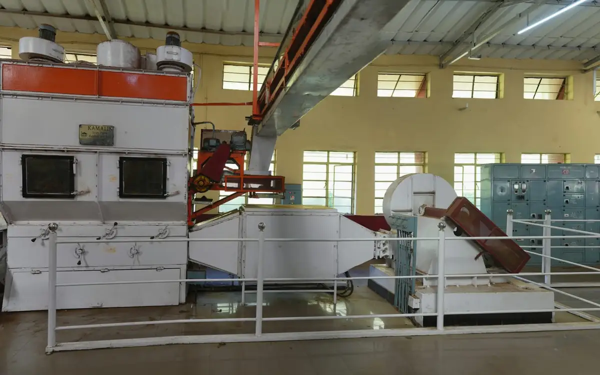
The tourism identity has grown around that landscape: the hilltop view, the approach from Munnar and the possibility of separately arranged plantation walks. The viewpoint itself should not be confused with a tea factory, a plantation museum or an estate headquarters, each of which would require a different history and visit plan.
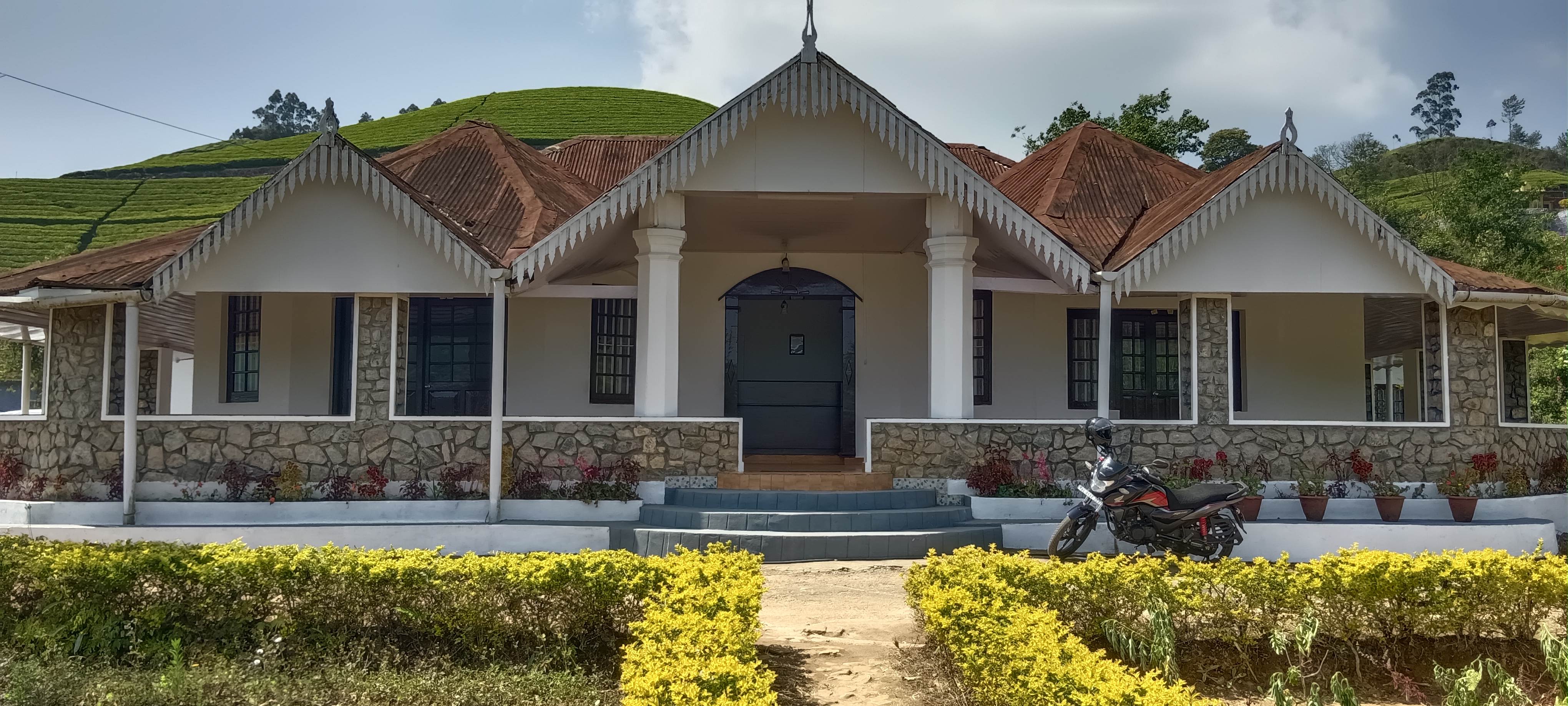
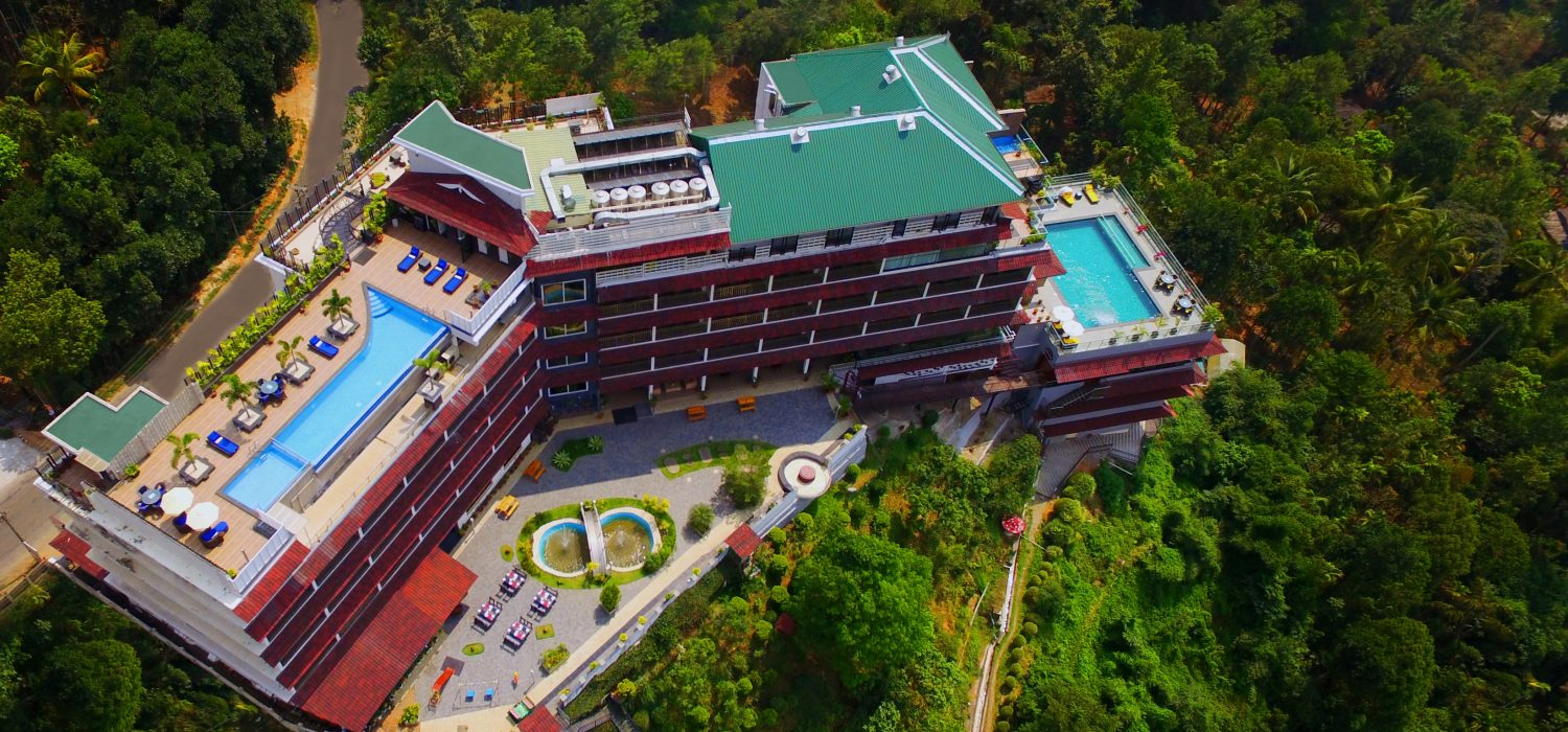
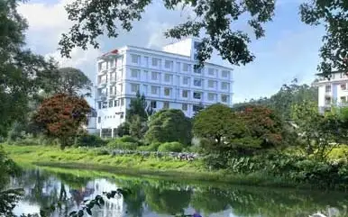
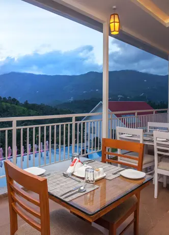
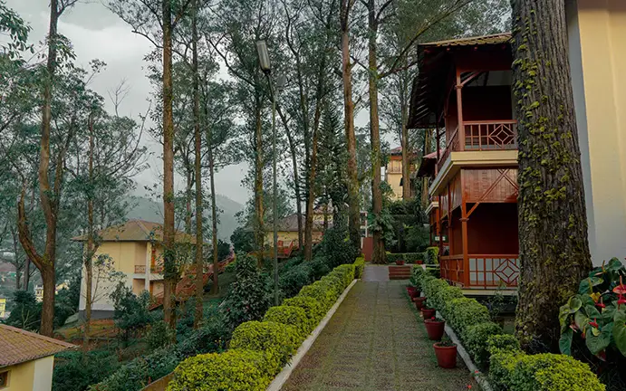
Pothamedu’s tourism setting combines a road viewpoint with accommodation scattered through the surrounding hills. A brief stop and an overnight stay offer different ways to experience it: the first frames one moment of visibility, while the second allows time for changes in cloud and light over the same slopes.
Why visit
Pothamedu offers a clear visual introduction to the patterned tea slopes around Munnar.
Its mix of near vegetation and distant hills can remain photographically interesting when some of the valley is obscured.
The stop works for travellers who want a shorter landscape pause, with an estate walk treated as a separate activity.
The setting helps distinguish a cultivated hillside from the native forest landscapes protected in the shola national parks.