A pass on a national highway, an 1879 tea estate that is not a Kannan Devan estate, and a name nobody has ever sourced. Lockhart Gap is the saddle 13.2 km east of Munnar where the ridge stops and the land drops away towards Tamil Nadu — and it is also a village, a factory, a museum, a library and a veterinary hospital, all of them addressed "Lockhart". Two viewpoints on this road carry the name and only one of them is the pass. This page is about which is which, about the planters who put the tea here, and about the Colonel the whole internet says the place is named after and nobody can produce.
The story of Lockhart Gap
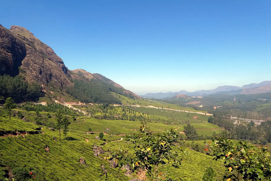
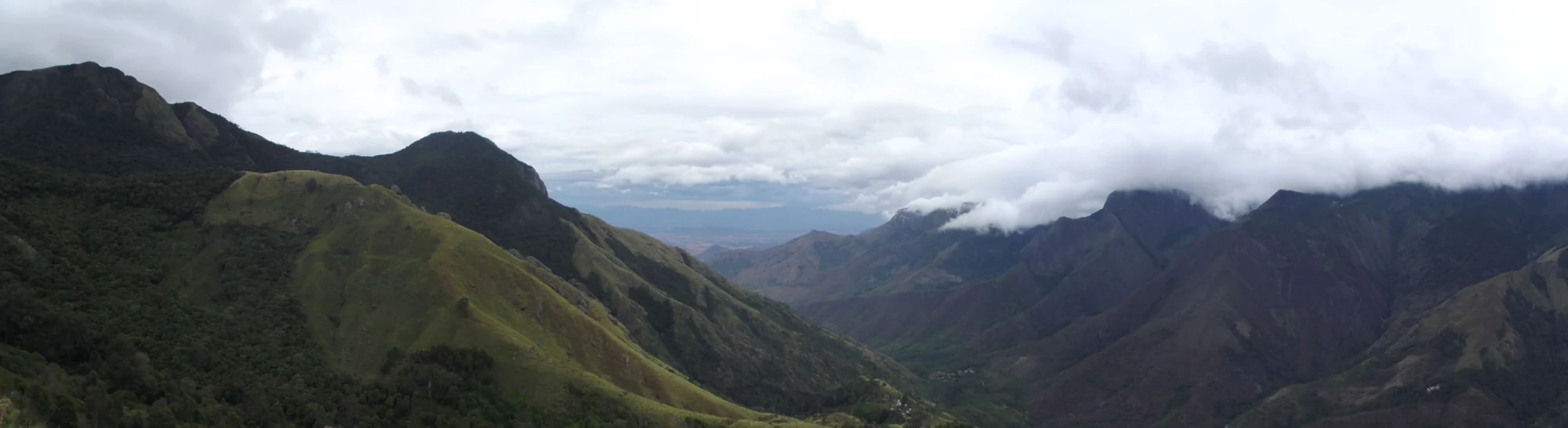
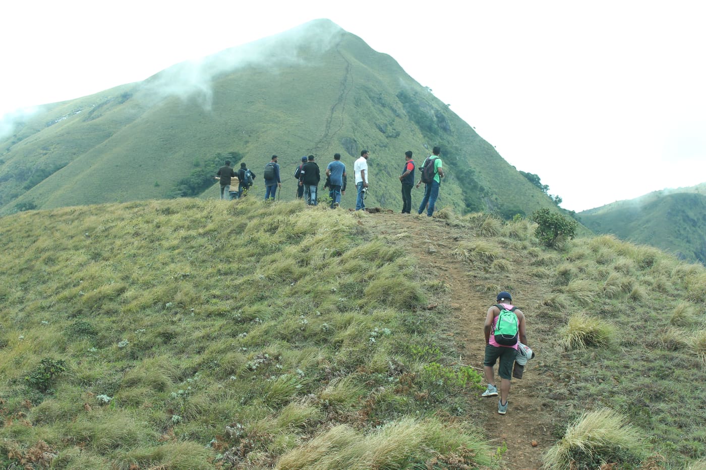
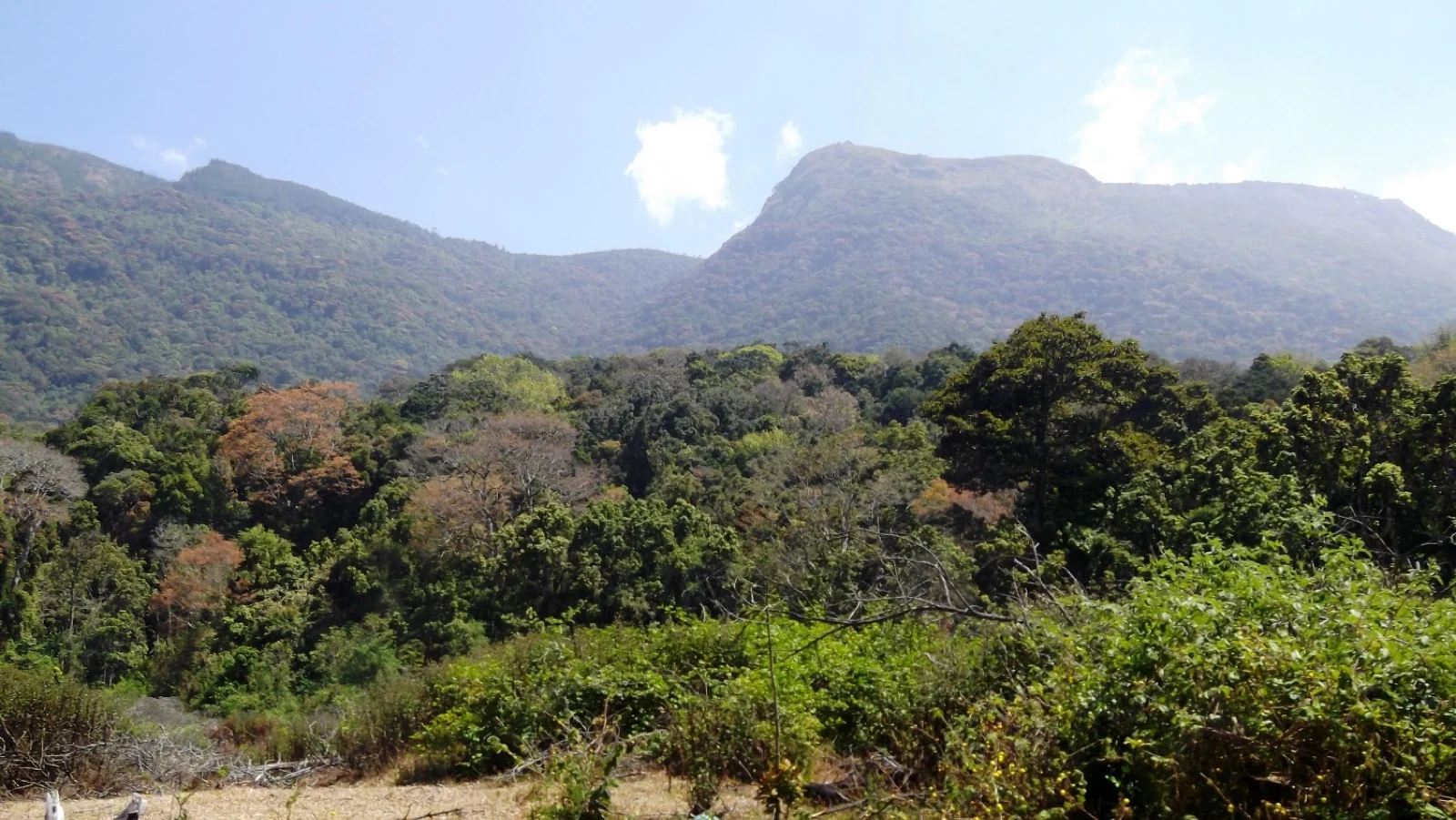
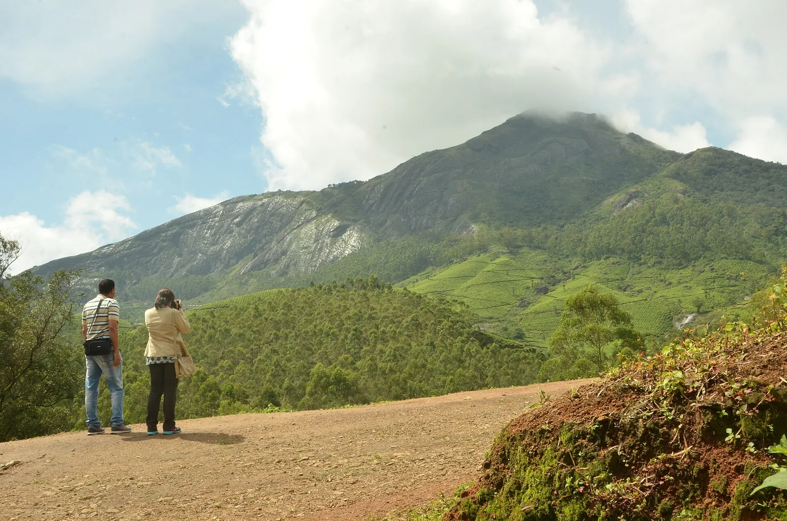
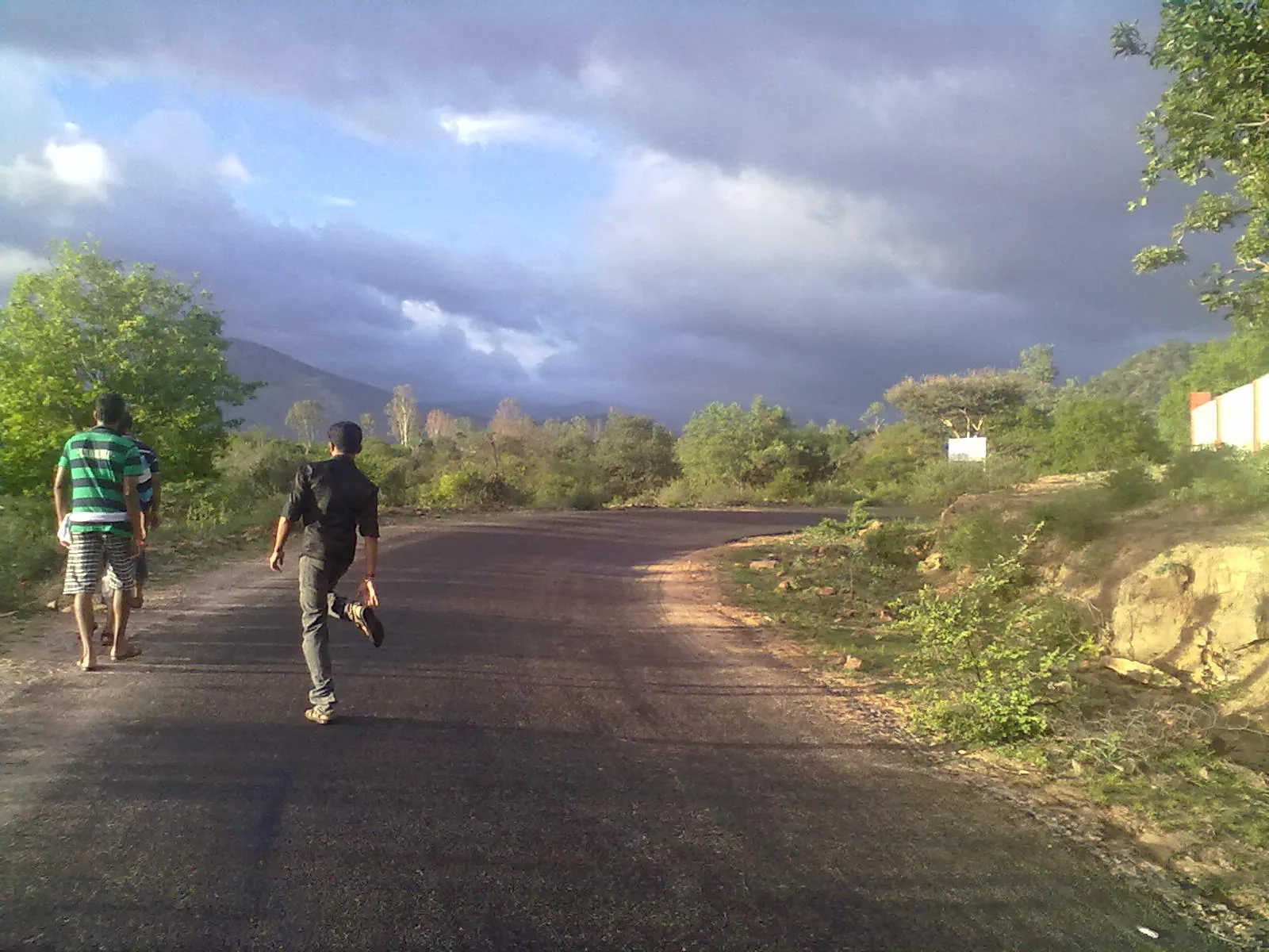
Drive east from Munnar on NH85 towards Bodimettu and, after about thirteen kilometres, the tea stops climbing and the road crests. Chokramudi’s bare grass pyramid rises on the right; terraced concrete holds the rock-shedding slope on the left; and straight ahead the ridge opens over the Cumbum valley and Theni plains. That is Lockhart Gap. The saddle is about forty-four metres from this page’s pin, and KSRTC and private buses stop fifty-three metres away at the clearly signed Gap Road stop.
There is a problem with the name before we get anywhere near its history, and it costs people a morning. There are two viewpoints on this road called Lockhart. The one you are reading about is the pass itself, where OpenStreetMap marks the saddle and the roadside stop is signed Gap Road. One and a half kilometres east there is a second, busier lay-by with stalls and coaches, signed "Lockhart Gap Road View Point". It is a good place to stop. It is not the gap. The distinction matters for a practical reason as well as a pedantic one: the Forest Department's Chokramudi trekking counter is fifty-one metres from this pin and not from that one, so a driver who takes you to the busier lay-by has put you 1.6 km from your booking.
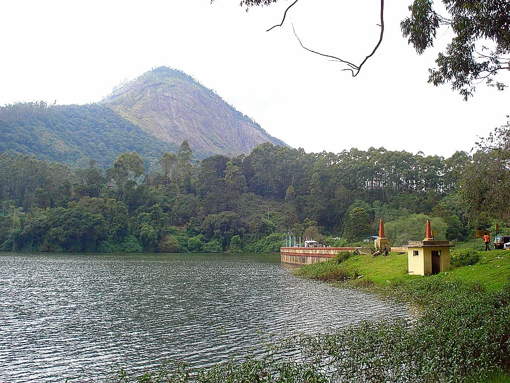
Now the name. Locally, and on the map, it is not written Lockhart at all. The streams that drain off this hill are recorded on OpenStreetMap as "Lock Heart bhagam thodu" and "Lock Heart Puthukkad"; the estate tanks are "Lock heart lower Division"; the photographers who have uploaded this view to Wikimedia Commons over fifteen years file it as "Lock heart gap, Munnar". Two English words, and the second of them is a body part. Say it aloud on this road and nobody will correct you. That spelling is not a curiosity — it is the origin of a phantom. A widely-copied 2025 travel report sent Chokramudi trekkers to a forest office "near the Devikulam Heart Lake viewpoint, around 22 km from Munnar", and there is no Heart Lake at Lockhart Gap, and never has been. Roampedia argues that case in full on the Chokramudi page and will not repeat it here. What is worth adding is the second half of the accident: there is a heart-shaped lake in this district, and it is the Anayirankal reservoir, whose viewpoint sits about 22.8 km from Munnar by road — within a kilometre of the figure that was printed. Two real places, one direction, one sub-editor.
So who was Lockhart? Here is the honest answer, and it is not the one you will read anywhere else. Every travel page that mentions this pass says the estate and the factory are named after a Colonel Lockhart "who played a significant role in developing the region's tea industry". That sentence is reproduced, word for word, across dozens of sites. We could not find a single source for it: not a first name, not a regiment, not a date, not a mention in any account of the opening of the Kannan Devan Hills, not an entry in the planting record. We searched for him in English and in Malayalam. He may well have existed — a great many High Range estates carry the surnames of men whose only surviving trace is a hillside — but on the evidence available today, Colonel Lockhart is a claim that circulates, not a person who is documented. We print him as a claim.
The men who are documented are a Baltic German family, and they are the reason there is tea here at all. Lockhart Estate was planted in 1879 by Baron John von Rosenberg and his son, Baron George Otto von Rosenberg, which makes it one of the very first plantations in the High Range — 1879 is the same year that John Daniel Munro's North Travancore Land Planting and Agricultural Society was formed, two years after the Poonjar Raja signed away the Kannan Devan concession. The Rosenbergs did what every planter in these hills did in that decade: they put in cinchona first, for the quinine that made living at this altitude survivable, then coffee, and only then tea. Cinchona to coffee to tea is the entire nineteenth-century history of the Western Ghats compressed into one estate, and Lockhart went through it in the usual order.
There is a photograph of one of them, and it is the single most remarkable thing on this page. A framed press reproduction hangs in the Lockhart Tea Museum and has been uploaded to Wikimedia Commons in the public domain: a long sepia group portrait, dozens of men in white and dark suits arranged on a lawn, with a printed caption beneath. The caption reads: "The memorable meeting at which the representatives of 12 planting associations got together in Bangalore in 1893 and agreed to form UPASI." And the standing row, named from left to right, begins: O Scott Skirving, H Campbell, Baron J von Rosenberg. The man who planted this hillside in 1879 is standing third from the left in a photograph of the founding of the United Planters' Association of Southern India — an organisation that still exists, still represents the tea, coffee, rubber, pepper and cardamom growers of three states, and still keeps its headquarters at Glenview in Coonoor. One correction to make in passing: the photograph's caption says twelve planting associations; UPASI's own account of that day says thirteen district associations met, on 28 August 1893, at the Mayo Hall in Bangalore. We have printed both because we cannot reconcile them and neither can anybody else.
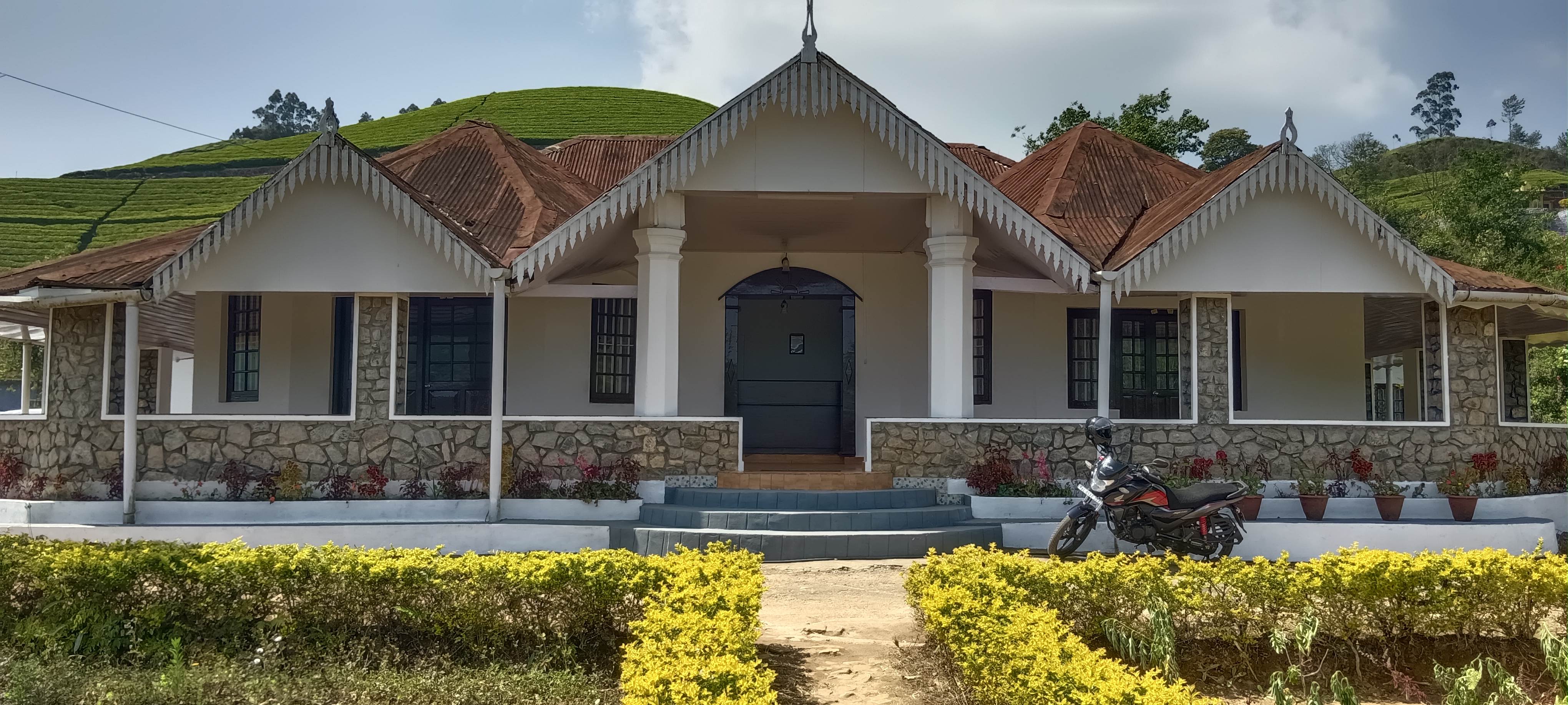
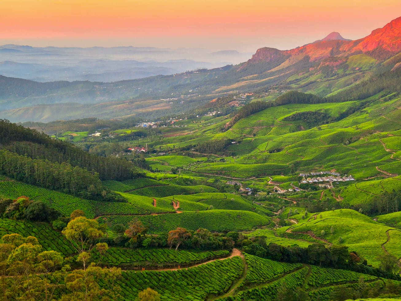
The second thing that makes Lockhart unusual is who owns it. In a valley where the answer to almost any question about tea is "Kannan Devan" — the Tata-founded company that became KDHP, the largest employee-owned tea business in the world — Lockhart is not a Kannan Devan estate. It belongs to Harrisons Malayalam Limited, part of the RPG group since 1988, and it is worked as a Harrisons property with its own factory, its own bungalows and its own labour lines. The figures published for it do not agree with each other and we are not going to pick one: the estate is variously given as 645.25 hectares and, in CGH Earth's own brochure for the bungalow it operates here, "about 1,500 acres" — which is roughly 607 hectares, close enough to be the same claim rounded differently. Output is a wider gap: 21 tonnes of tea a day in one account, about 20 million kilograms a year in another, and those two cannot both be true, because the first works out at under eight million kilos.
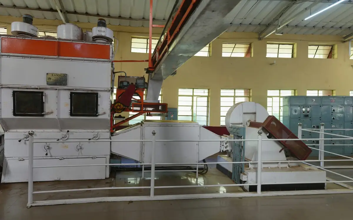
The factory is the thing most people actually stop for, and it is 4.6 km from the gap up the Munnar road. It is claimed to have been built in 1936, and a further claim attaches itself — that it was "the first tea factory constructed by the British" in these hills. That one does not survive contact with the record: the Kannan Devan factories were running decades earlier, and 1936 is late even for Lockhart's own history. Treat the date as plausible and the superlative as marketing. In January 2014 — 22 January, to be exact — the estate opened part of the building to the public as the Lockhart Tea Museum, and it now shows mechanical harvesters, shears, fletcher sprayers and a wall of hundred-year-old photographs of the planters, of which the UPASI group portrait is one. The factory itself takes visitors during working hours and is closed on Mondays. Published entry fees vary between travel aggregators — ₹200 and ₹400, or ₹250 and ₹500, with a tea tasting on top — while Harrisons' heritage site does not provide an accessible tariff page. Check the current fee directly before making a special journey.
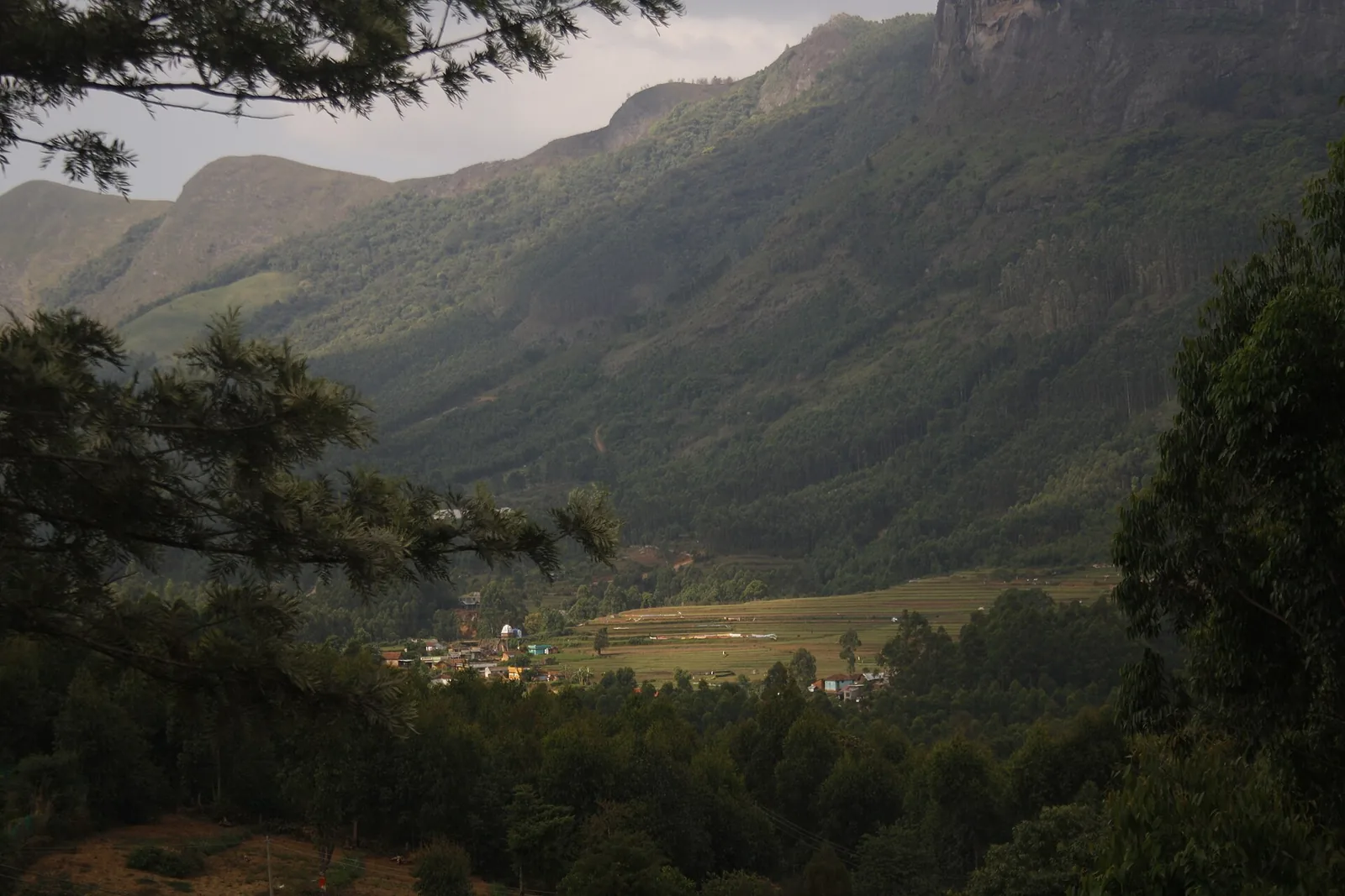
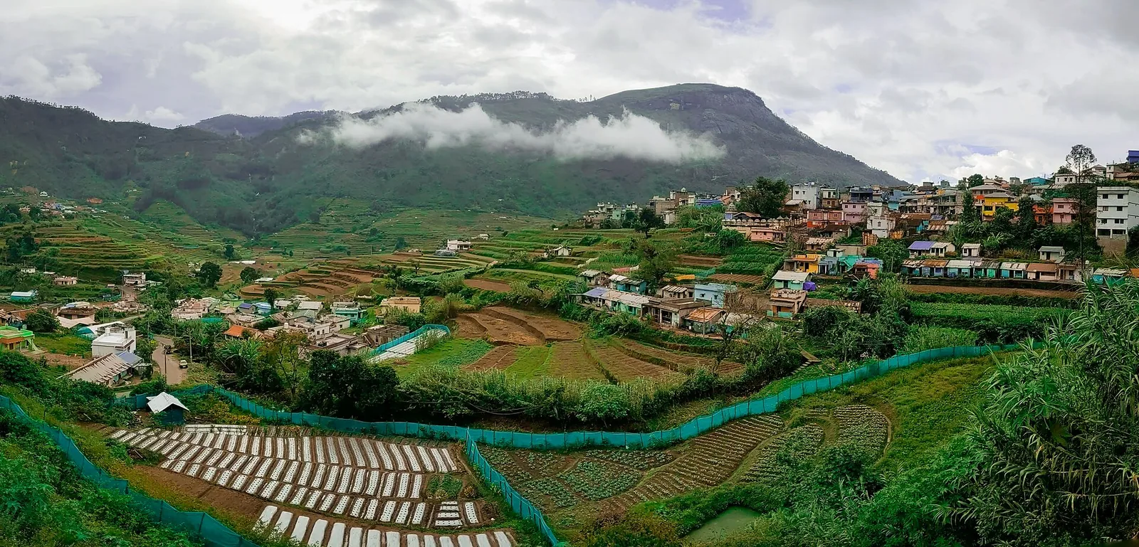
What the maps show, and what almost nothing written about this viewpoint mentions, is that Lockhart is a place where several hundred people live. Within a kilometre and a half of the viewpoint are the Veterinary Hospital, Lockhart; the Lockhart Anganavadi, which is a state creche; the Lockhart Library; and a Public Distribution System ration shop whose address is simply "Lockhart, Devikulam". There is a public health centre and a private clinic on the same stretch. This is an estate village with the ordinary infrastructure of an Indian village, and the viewpoint you have stopped at is its front door. It is worth holding that in mind while photographing the tea, because the tea is somebody's workplace.
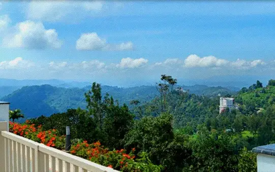
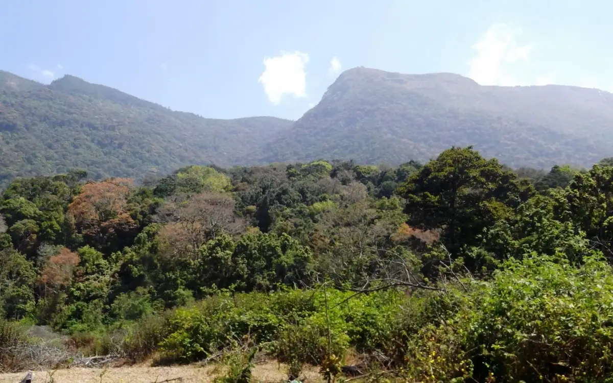
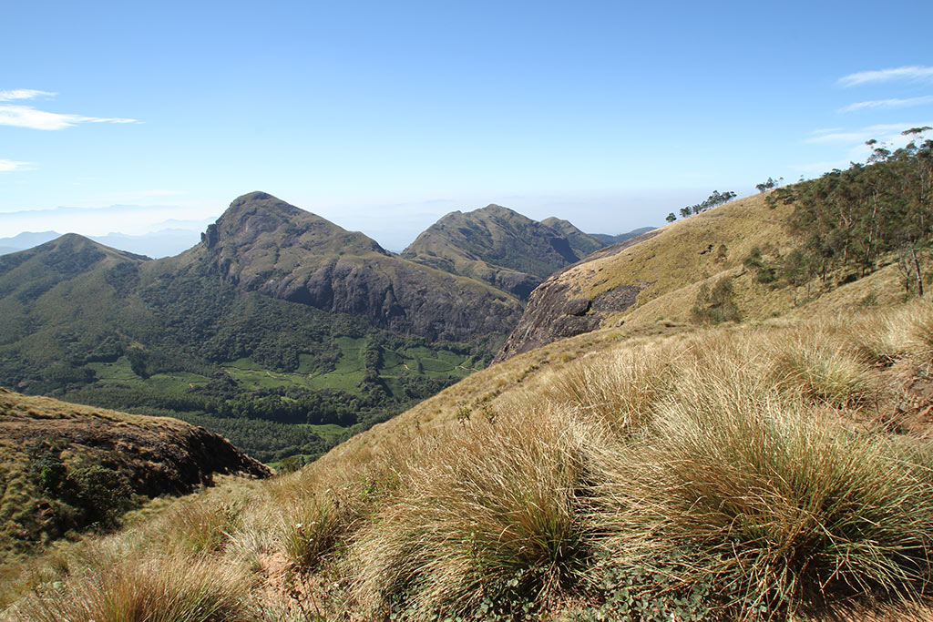
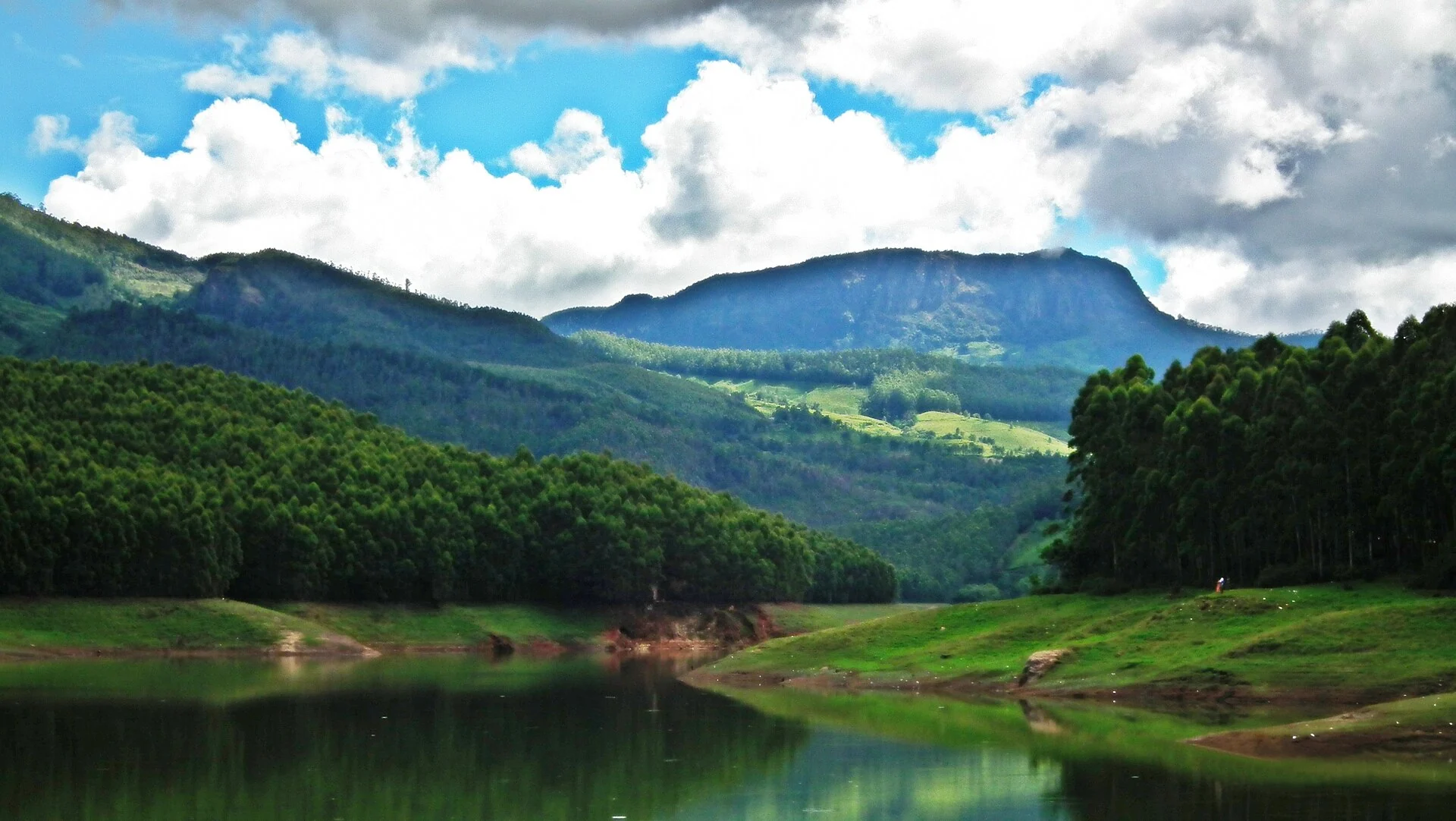
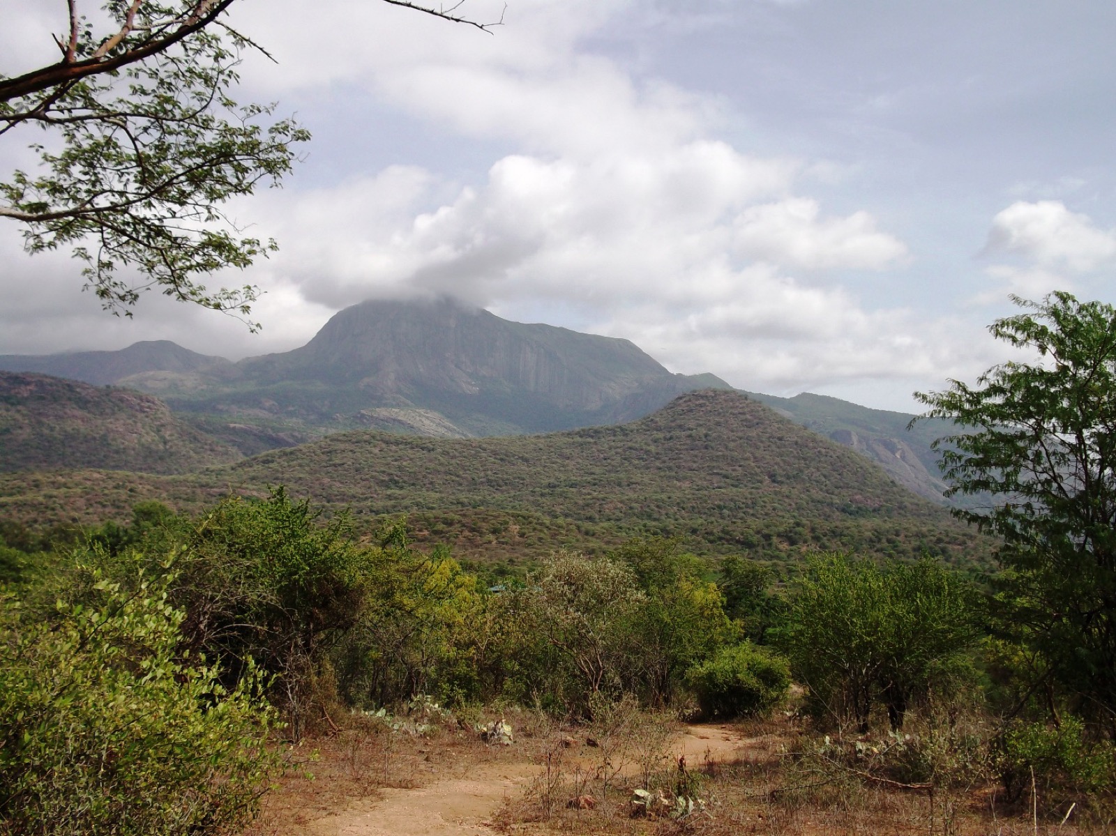
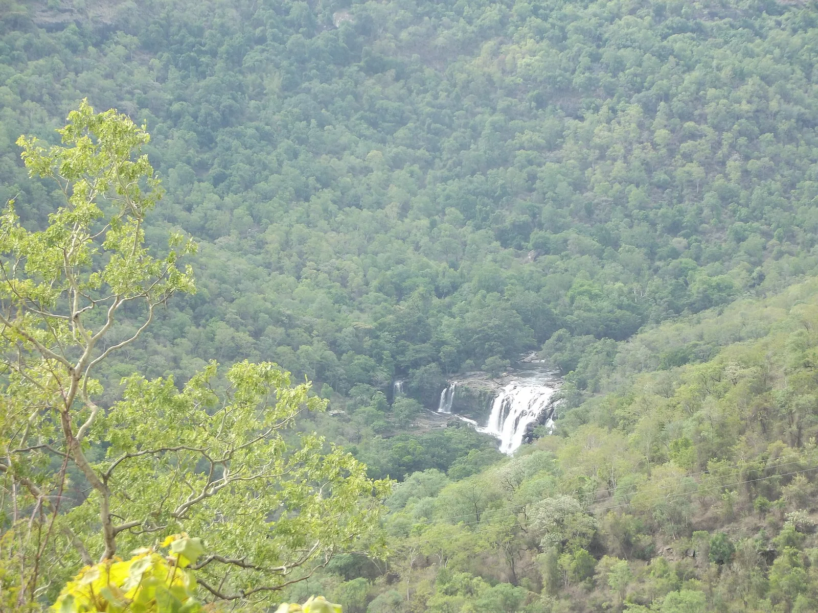
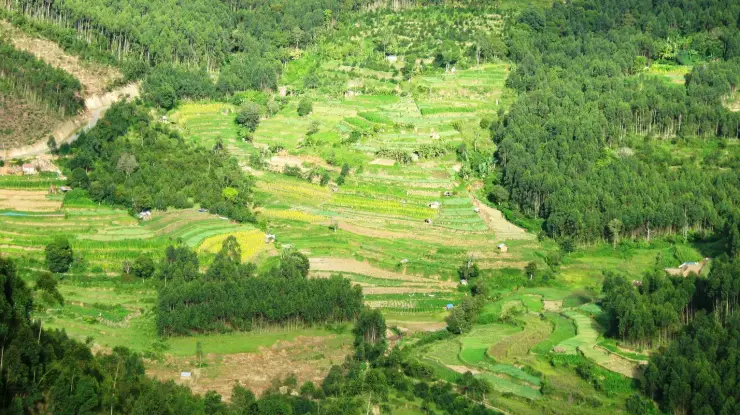
The view repays a few minutes of attention rather than one photograph. Facing east, Harrisons tea runs into the near fold while old shola forest fills the dark creases. Chokramudi rises behind your right shoulder, with a mapped summit elevation of 2,183 m and several different published figures elsewhere; its trail leaves from this lay-by. On a clear morning the Theni and Cumbum plains fill the notch, but cloud commonly climbs the eastern face by mid-morning. Several smaller viewpoints along the ridge carry informal names such as Point #9, Point #10, Point #11, The Cross and Photo Point.
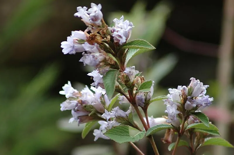
In 2026 there is one more reason people are stopping here, and it is the reason to read the practical notes on this page carefully. The neelakurinji — Strobilanthes kunthiana, which flowers gregariously once in twelve years across these grasslands and then dies back — is in bloom, and the Malayalam listings of where it can be seen name "Devikulam Gap Road" as one of the places. On 24 August 2026 the Forest Department opened a paid Kurinji Garden on the Chokramudi slopes. Where its entrance actually is is genuinely muddled in the reporting, the two candidate points are six and a half kilometres apart by road, and this page sets out both rather than choosing one for you.
Legend & myth
The story attached to this pass is a story about a word, not about a god, and it is unusually well evidenced for a folk etymology. Lockhart, said by Malayalam speakers and written down by the people who live here, becomes "Lock Heart" — and once it is two words, one of which is heart, the imagination does the rest. A heart-shaped lake gets invented. Couples are told the viewpoint is a lovers' point. A pass named, at some point in the 1870s or 1880s, after somebody's surname acquires a romance in the second language it passed through. It is worth saying plainly that no lake, heart-shaped or otherwise, exists at Lockhart Gap, and that the water body people are half-remembering is almost certainly Anayirankal, twenty-odd kilometres on.
Six and a half kilometres back towards Munnar the older layer of naming survives, and it is a Ramayana one. Devikulam means "the pool of the goddess", and the lake there is Sita Devi Lake, where Sita is said to have bathed during the exile; the mineral water has a local reputation for curative properties, and the lake sits on estate land, which is why visitors are turned back from it without permission. Every hill in this district has a name of that kind underneath the planters' names, and Lockhart is a good illustration of what happened in one lifetime in the 1870s: an entire ridge was renamed by men who had arrived the previous decade, and the older names survive one valley over.
The Muthuvan, who were living in these hills long before any of this, are the people whose naming this landscape actually belongs to — Chokramudi behind the gap carries a stone shrine, a kallu kovil, that appears in no government description of the hill and on no map. That belongs to the Chokramudi record rather than this one, and it is mentioned here only to make the point that the layer of names this viewpoint advertises is the shallowest of the three.
Read the full history of Lockhart Gap 507 more words
History
1877: at the Poonjar palace on 11 July, Rohini Thirunal Kerala Varma Valiya Raja signs the concession deed leasing roughly 136,600 acres of the Kannan Devan Hills to John Daniel Munro for 3,000 rupees a year. Everything on this ridge follows from that document.
1879: Baron John von Rosenberg and his son Baron George Otto von Rosenberg plant Lockhart Estate — cinchona first, for quinine, then coffee, then tea. It is among the earliest plantings in the High Range, and the same year Munro forms the North Travancore Land Planting and Agricultural Society.
1893: on 28 August, representatives of the district planting associations meet at the Mayo Hall in Bangalore and agree to form the United Planters' Association of Southern India. Baron J von Rosenberg is in the group photograph, standing third from the left. The framed print of it hangs today in the museum on his own estate.
1936: the building that now houses the Lockhart Tea Museum is put up. It is sometimes described as the first tea factory the British built in these hills, which cannot be right — the Kannan Devan factories long predate it.
1988: Harrisons Malayalam, which holds Lockhart, becomes part of the RPG group. The estate has never been a Kannan Devan or Tata property, which is why the tea on this hillside is picked by a different company from the tea on the next one.
22 January 2014: the Lockhart Tea Museum opens to the public, with the estate's photographic archive and the machinery of an earlier generation of processing.
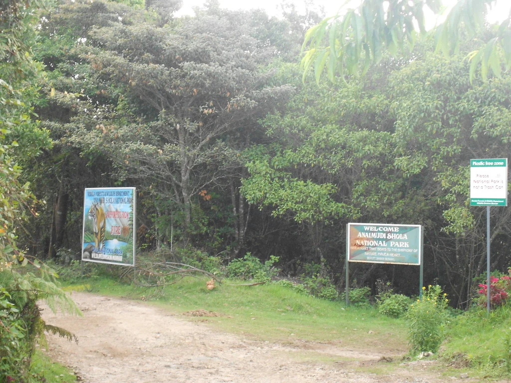
November 2019: the Forest Department opens the Chokramudi peak trek, with a counter in this lay-by — the department's own announcement calls it "the temporary trekking office functioning near Gap Road". The pass acquires a second function.
24 August 2026: a paid Kurinji Garden opens on the Chokramudi slopes for the twelve-year neelakurinji bloom, and "Devikulam Gap Road" appears on the state's own list of places the flower can be seen.
Why visit
It is the actual pass — the point where the ridge parts and the high range ends — rather than the lay-by 1.6 km east that carries most of the traffic and the same name.
The oldest tea in the High Range is on the slope in front of you: planted 1879, cinchona before coffee before tea, and owned by Harrisons rather than by Kannan Devan, which makes it the exception on this whole plateau.
A photograph of the man who planted it survives, in the museum 4.6 km up the road, in a group portrait of the 1893 founding of UPASI.
It is where the Chokramudi peak trek reports, 51 metres away, so the pass is the start of the best short summit walk near Munnar as well as a view in its own right.
It is free, it is on a public highway, it has a bus stop, and it asks nothing of you — which in a district where most of the good ground now has a counter in front of it is worth something.