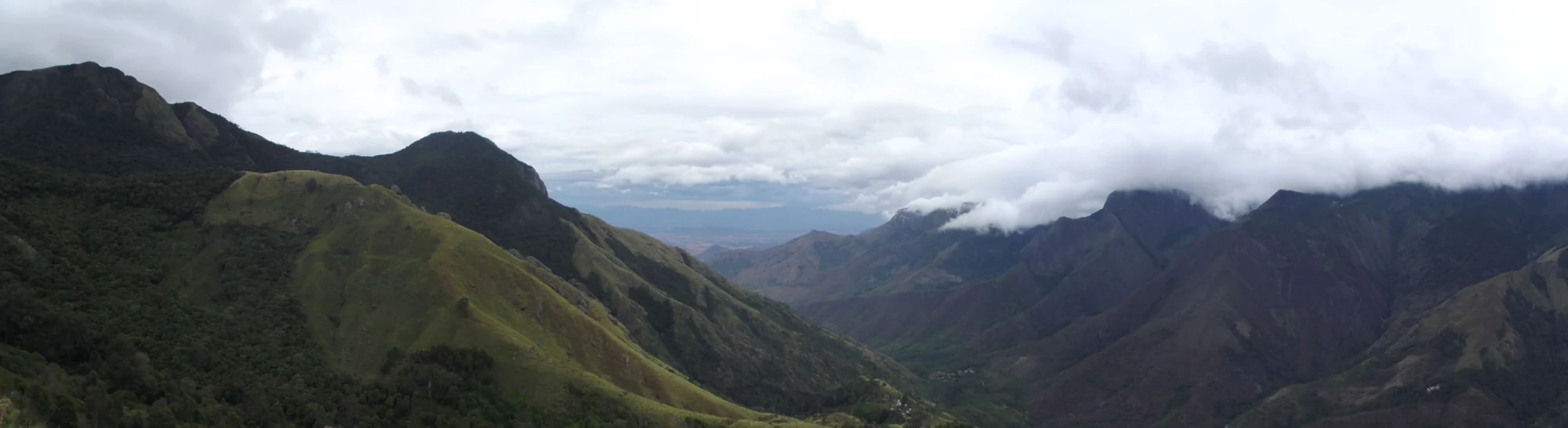
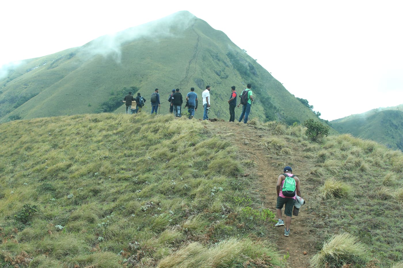
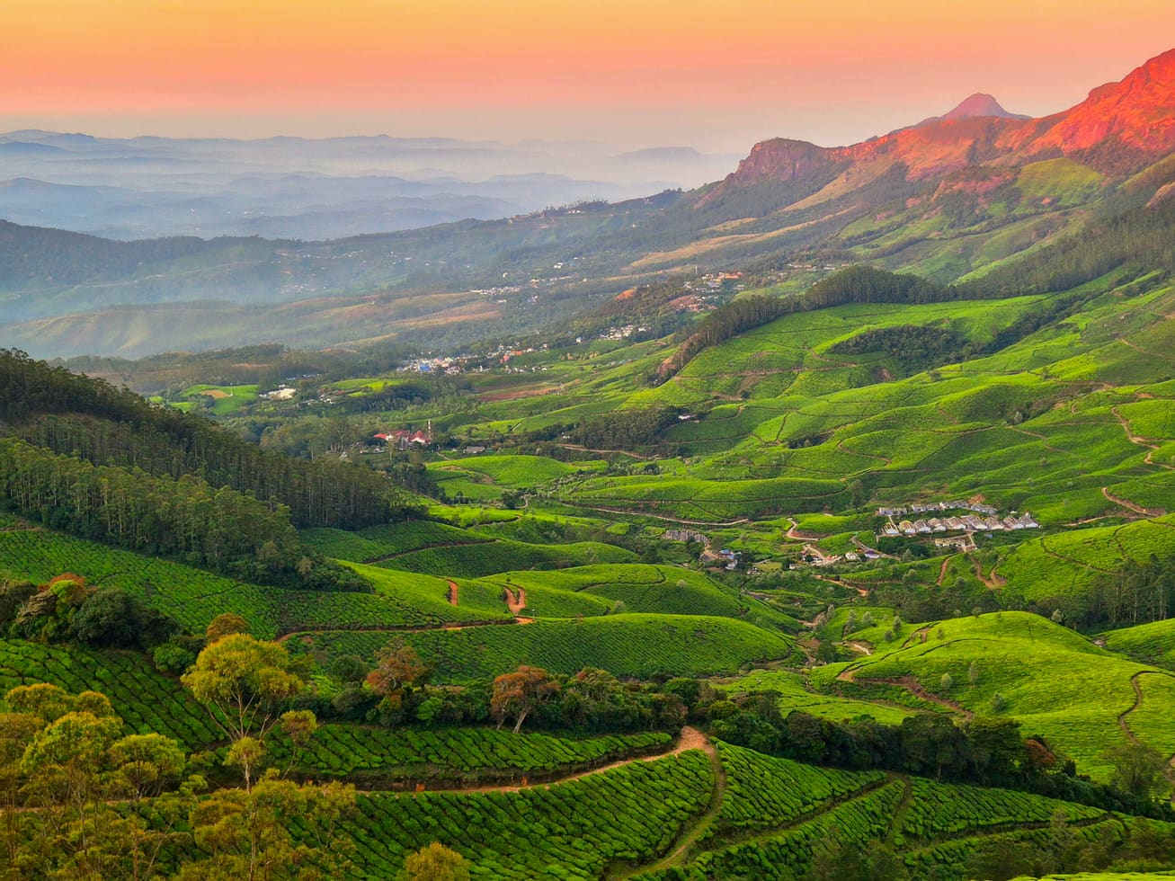
A guided walk down to a waterfall inside Chinnar Wildlife Sanctuary, from a roadside counter on the Marayoor–Udumalpet highway, following the river through the one strip of tall green forest in a valley that is otherwise thorn and dry rock. It is a Kerala Forest Department programme run with the tribal Eco-Development Committees, and it is the only legal way to stand at the bottom of the falls. It is also — and almost nobody writes this down — not the only way to see them: there is a signed lay-by on the same highway, three minutes' drive away, from which the whole cascade is visible for nothing.
The story of Thoovanam Falls trek
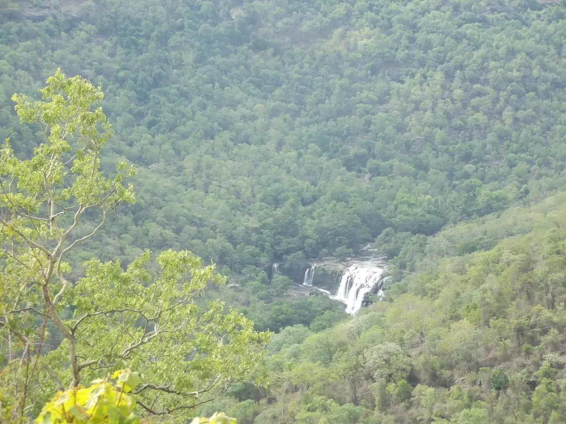
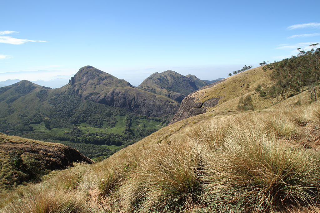
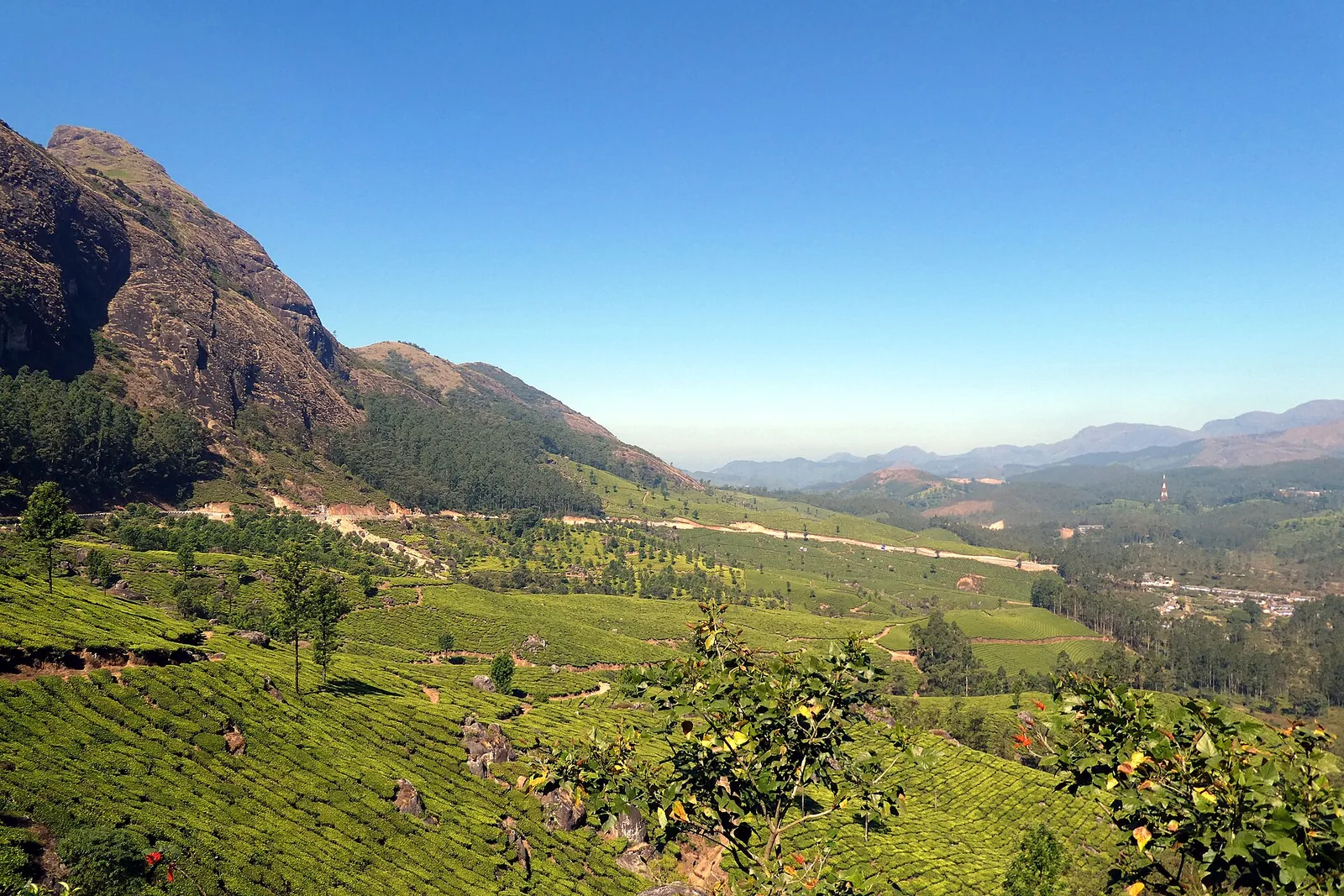
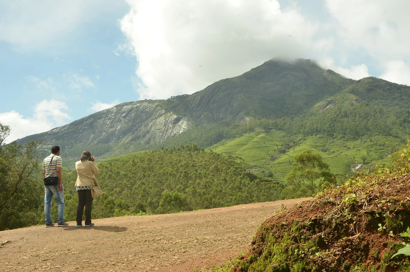
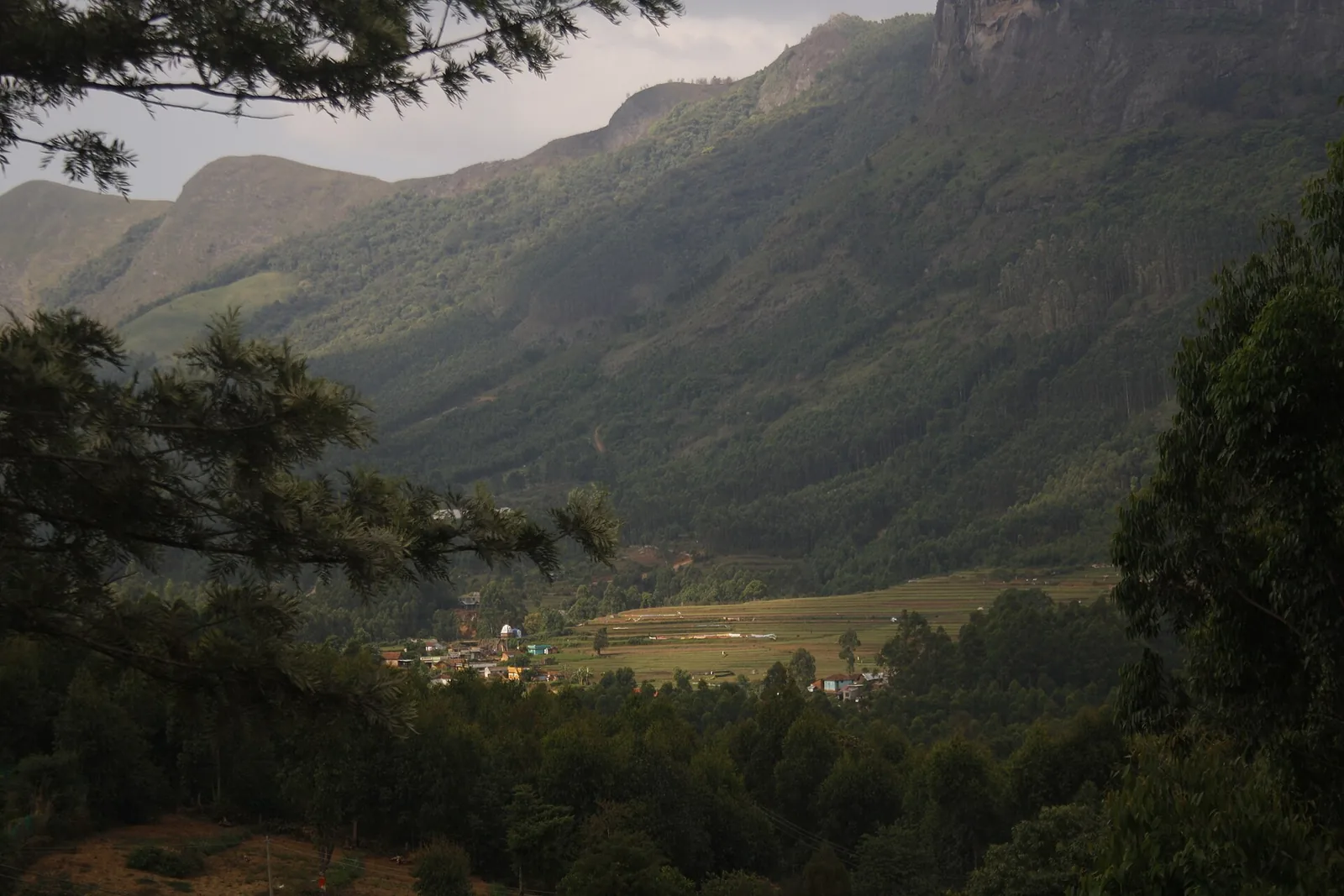
Start with the thing that will save you a day if the walk is not running, because it is the fact this page exists to tell you. Two kilometres north of the Alampetty counter, on the same State Highway 17, there is a viewpoint mapped in OpenStreetMap as “Thoovanam waterfalls view”. It is 12.5 m off the tarmac. The falls are 1.36 km away across the gorge, facing you. The sanctuary authorities have put an information board there. You can stop the car, walk five paces, and look at Thoovanam without a guide, without a permit, without a fee and at any hour of the day — and the best-known photograph of the falls on Wikimedia Commons, the one at the top of this page, was taken from the slopes just below that stretch of highway. If the trek is closed for fire season, if you arrive at two in the afternoon, if somebody in the party cannot do three hours on rough ground, this is the answer, and it is a good one.
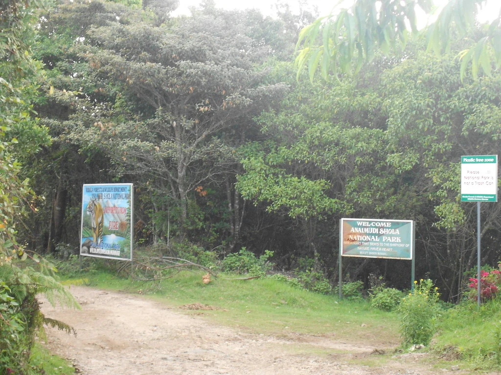
Now the walk itself, which is a different experience and worth the effort. You report at Alampetty, a counter at the edge of the road beside a stream culvert, sign the register and set off with a guide from one of the settlements inside the reserve. What follows is a descent, not a climb — the counter is at roughly 780 m and the falls at roughly 666 m, so you drop something like 115 m over the course of the walk in and earn all of it back on the way out, in the hottest part of the day. That asymmetry is the single most useful thing to know about the physical shape of this trek, though published descriptions rarely state the direction.
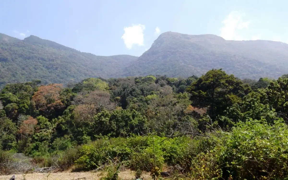
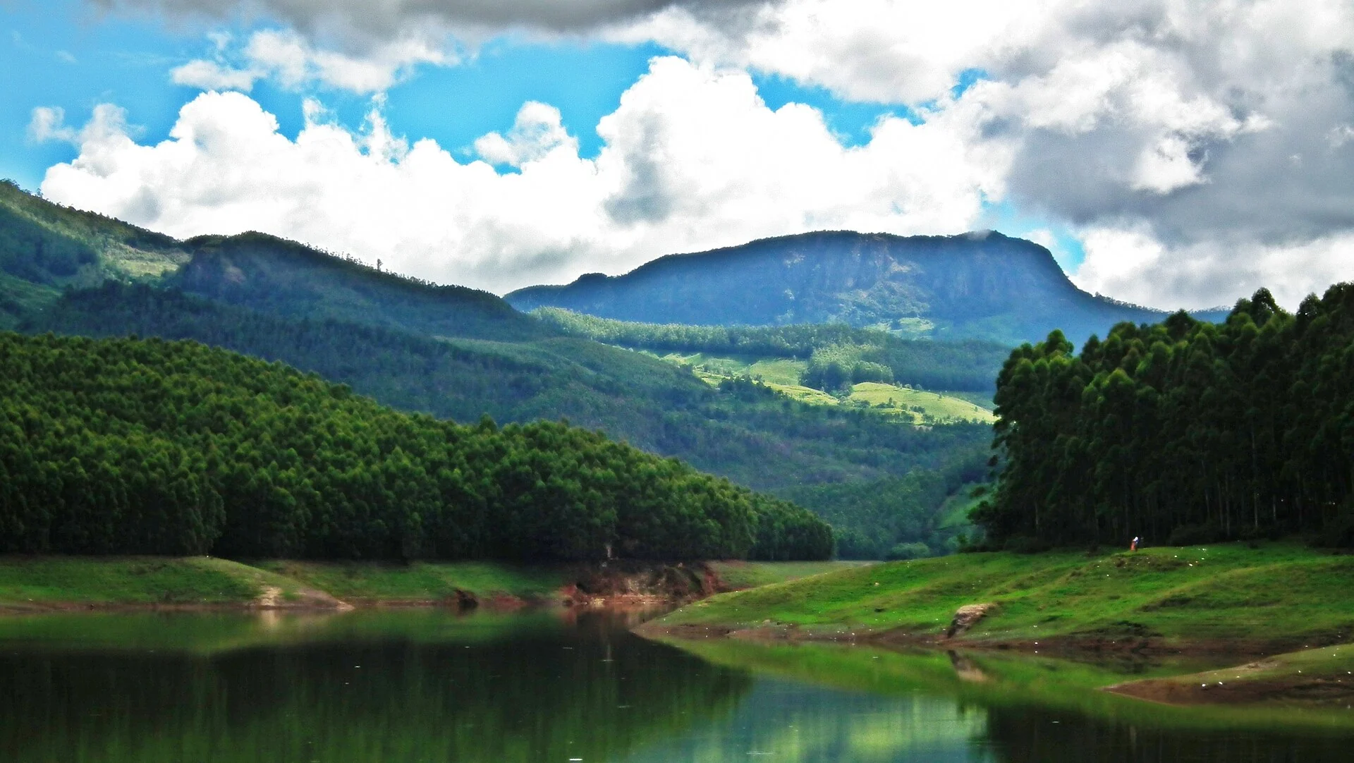
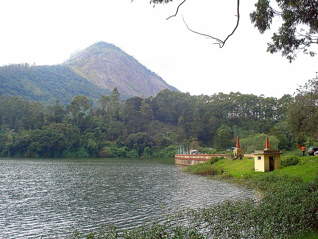
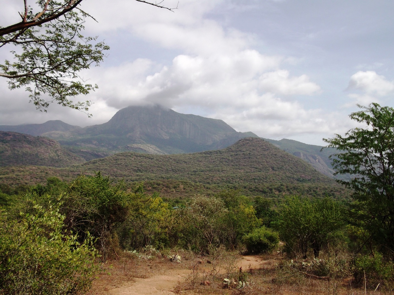
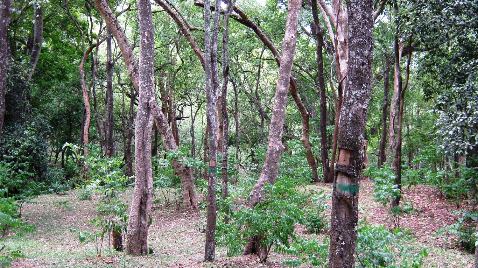
The route follows water, and the water is the reason to come. Chinnar is a rain-shadow reserve: it sits behind the wall of the Western Ghats, takes something on the order of five hundred millimetres of rain a year across about forty-eight days, and looks nothing like the Munnar you drove from. The hills are thorn scrub and dry deciduous forest on red-brown ground. But along the river there is a ribbon of tall, closed, properly wet-looking forest a few dozen metres wide, and that ribbon is where the sanctuary's famous animals actually live. Chinnar holds India's principal population of the grizzled giant squirrel — a big, shy, grey-flecked animal of the riverine canopy — and it is in these trees, not on the dry tops. The neighbouring culture trek from the same counter climbs away from the water and out of squirrel country; this one goes along it. If the squirrel is what you came for, this is the walk.
There is a genuine argument about which river you are walking beside, and it is not a small one, because Kerala Tourism takes both sides. The department's own destination article on Thoovanam says the falls originate from the Pambar. The department's own trek programme page — the one that sells you this walk — describes “the Chinnar River which accompanies you on one side, your best comrade”. Malayalam Wikipedia says പാമ്പാറിലാണ്, on the Pambar. The Malayalam caption on a Commons photograph of the water says the Pambar. OpenStreetMap maps the Pambar as the only waterway within five hundred metres of the falls, and the Chinnar as a separate river that joins it further north near the check post. The weight of the evidence is heavily on the Pambar. We are still printing both, because a visitor who is told “Chinnar” by an official page and “Pambar” by a guide deserves to know that the confusion is the department's and not theirs.
Malayalam Wikipedia gives the falls a height of 84 feet, about 25 m; no other cited source states a height. The department publishes the walk as 4 km each way, three hours, graded moderate. The mapped trail runs 3.02 km from the highway and ends about 96 m short of the waterfall, where the final rock scramble begins. Plan for the department’s four-kilometre distance. Kerala Tourism publishes a fee of ₹250 for Indians and ₹600 for foreigners, bought at the counter on the day.
What makes the day is the contrast, and it is a sharper one than any brochure sells. In the space of a two-hour drive you go from tea, mist and permanent damp at fifteen hundred metres to a valley where the sandalwood grows, the ground is bare between the trees, star tortoises walk on the dry earth and a white gaur — a genuine rarity, photographed here and almost nowhere else — has been recorded in the scrub. And then you walk down into a green corridor along a river, with hawk-eagles above it and langurs in it, and the whole rain-shadow argument is laid out in front of you in about forty metres of horizontal distance: dry forest on the bank, wet forest at the water. There is no better place near Munnar to see why the mountains matter.
Legend & myth
The name is the nearest thing to a story here, and it is a good one because it is literal. തൂവാനം — thoovanam — is an ordinary Malayalam word for wind-blown rain: the fine, sideways drizzle that comes off a squall and settles on you without ever quite falling. Anyone who has stood below a waterfall in a breeze knows exactly what is being described, and the word is familiar enough in Malayalam to have given a much-loved 1987 film its title. The falls are named for what it feels like to stand near them.
We looked for a legend and did not find one. Searching in Malayalam script — on ml.wikipedia and in the Malayalam travel press — turns up the geography, the height and the river and no ഐതിഹ്യം attached to the falls themselves. That is a report of an unsuccessful search and not a statement that the settlements here have no story about this water; the Muthuva and Hill Pulaya families in this valley have lived beside it for a very long time and a guide may well tell you something this page has never seen in print. If one does, it is worth more than anything written here.
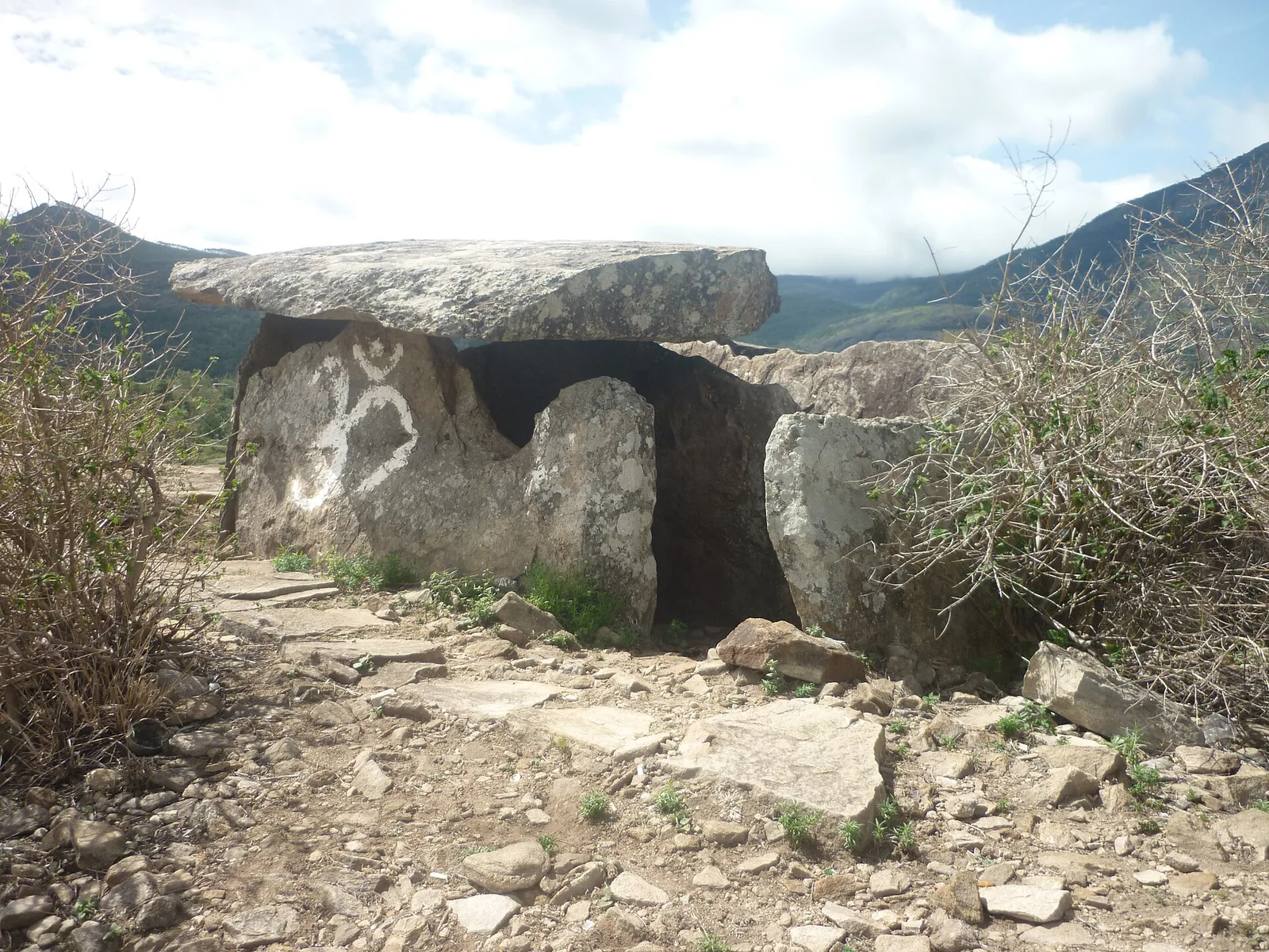
The valley's own name-lore sits a few kilometres down the road rather than at the falls. Marayoor is glossed locally as the hidden place, from maray, to hide, with the Pandavas of the Mahabharata said to have sheltered there in exile — the story usually attached to the dolmen fields rather than to the river. Roampedia records that as tradition on the page it belongs to, which is the Chinnar dolmen culture trek, and not here.
Read the full history of Thoovanam Falls trek 701 more words
History
The sanctuary is the firm history. Chinnar Wildlife Sanctuary was constituted in August 1984, covers 90.44 square kilometres on the Kerala side of the Tamil Nadu border, and runs from roughly 400 m on the river up to 2,522 m at Kumarikkal — more than two kilometres of altitude inside one small reserve, which is why its lists run to something like 963 plants, 225 birds, 52 reptiles and 28 mammals. It is administered by the Munnar Wildlife Division under a Wildlife Warden based at the Forest Information Centre in Munnar. The falls sit inside it, which is the whole reason you cannot simply walk to them.
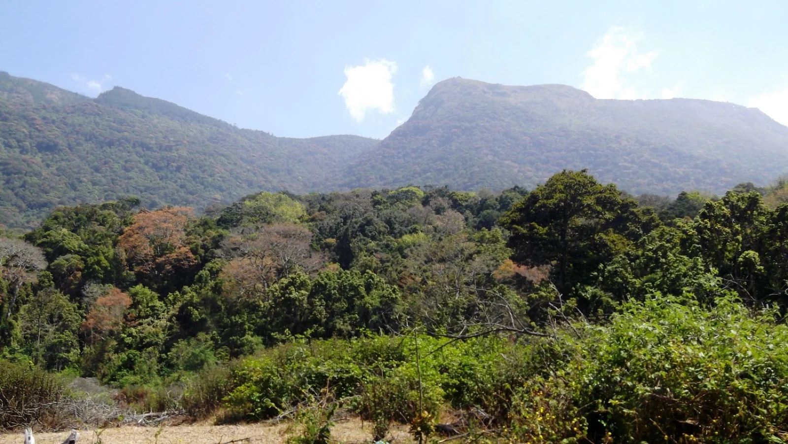
The reserve's defining fact is meteorological. Chinnar lies in the rain shadow of the Western Ghats, on the leeward side of the same wall that gives the Kerala coast three metres of rain a year, and it receives on the order of 500 mm across roughly 48 rain days. Most of that arrives with the north-east monsoon between October and December rather than with the south-west monsoon that defines the rest of Idukki. That is why the vegetation is dry deciduous and thorn rather than evergreen, why the riverine strip along the water stands out so sharply from what surrounds it, and why this is one of the few walks in the district that is workable in July.
The eco-tourism programme is the more recent layer, and it was built around the settlements rather than around a ticket window. The Forest Department runs the treks “in association with Eco-development committees formed by tribal communities”, in Kerala Tourism's own words; the Malayalam sources name the Alampetty Eco Development Committee as the body that runs this particular walk and the Alampetty eco shop as where it starts. The guide is not an add-on to the product, the guide is the product: the fee goes to the committee, and the person who takes you down to the water is from one of the eleven Muthuva and Hill Pulaya settlements inside the reserve.
The waterfall has been a documented visitor sight for longer than the trek has existed, and the documentation is unusually easy to date because of where it was taken from. The earliest photograph of it on Wikimedia Commons is a 2005 upload; a 2012 frame is captioned “View of Thoovanam water falls from slopes below State Highway 17”; a pair of photographs by the contributor VasuVR, taken from the highway, note that “an information board about the falls has been placed by the Chinnar wild-life sanctuary authorities” at that spot. The most recent photographs on Commons — two 4096-pixel frames — are dated 27 June 2026. The roadside view is not a loophole somebody found; it is a viewpoint the department itself signed.
🔴 One piece of the official record has quietly rotted, and it is worth stating because Kerala Tourism still repeats it. The domain chinnar.org, printed as the sanctuary's website on government-adjacent pages along with an email at the same domain, no longer belongs to the Forest Department and now redirects to an unrelated commercial site. The live official pages are chinnar.in and the division's booking system at booking.munnarwildlife.com. The telephone numbers still work, and they remain the only reliable way to find out whether a walk is running.
Why visit
An 84-foot waterfall inside a working wildlife sanctuary, reached on foot with a guide from the settlements — not a car park, not a railing, not a viewing platform.
A free, signed roadside viewpoint of the same falls, 12.5 m off the highway and a three-minute drive from the counter, which almost nothing published about this place mentions.
The riverine forest strip, and with it the real habitat of the grizzled giant squirrel, whose main Indian population is in this reserve.
The clearest rain-shadow lesson in Kerala: dry thorn forest and wet river forest touching each other, an hour and a half from the tea and the mist.
A walk that descends into a gorge instead of climbing a hill, which makes it unlike every other trek sold out of Munnar.
Chinnar's oddities on the way: star tortoise, tufted grey langur, crested hawk-eagle, and a white gaur population photographed here and effectively nowhere else.