Chinnar Dolmen Culture trek

The Chinnar Dolmen Culture trek is a guided half-day walk, not a place you drive to. It is a Kerala Forest Department eco-tourism programme inside Chinnar Wildlife Sanctuary, run by the Munnar Wildlife Division with the tribal Eco-Development Committees who supply the guides, and it takes you on foot from the roadside to prehistoric stone burial chambers — muniyara — and rock shelters in the dry hills above the Marayoor–Udumalpet road.

Chinnar Dolmen Culture trek, Munnar
Practical guide

Plan Chinnar Dolmen Culture trek

Who's going?Tailor Chinnar Dolmen Culture trek to your trip
Typetrek
AreaMunnar
DistrictIdukki
Best timeSeptember to March
Time neededAbout three hours on foot from the…
Places to visit27Listed businesses125

What that means in practice is that the useful address is a counter, not a monument. You report at the Alampetty guide stand on SH17, 6.4 km beyond Marayoor and 46.1 km from Munnar town, sign the register, pay at the counter and go up with a guide; the sites themselves are up the hill and are not marked, mapped or reachable alone. Allow about three hours on foot in dry, thorny, rain-shadow country, and treat this as an early-morning outing — the sanctuary admits visitors from 07:00 to 18:00.

The story

A guided walk from a roadside counter on the Marayoor–Udumalpet highway up into the dry hills of Chinnar Wildlife Sanctuary, to stone burial chambers that were built before anyone here wrote anything down, and to rock shelters painted in white clay and red ochre. It is run by the Kerala Forest Department with the tribal Eco-Development Committees whose families have lived in these hills for as long as the record goes, and the guide who takes you up is from one of them.

The story of Chinnar Dolmen Culture trek

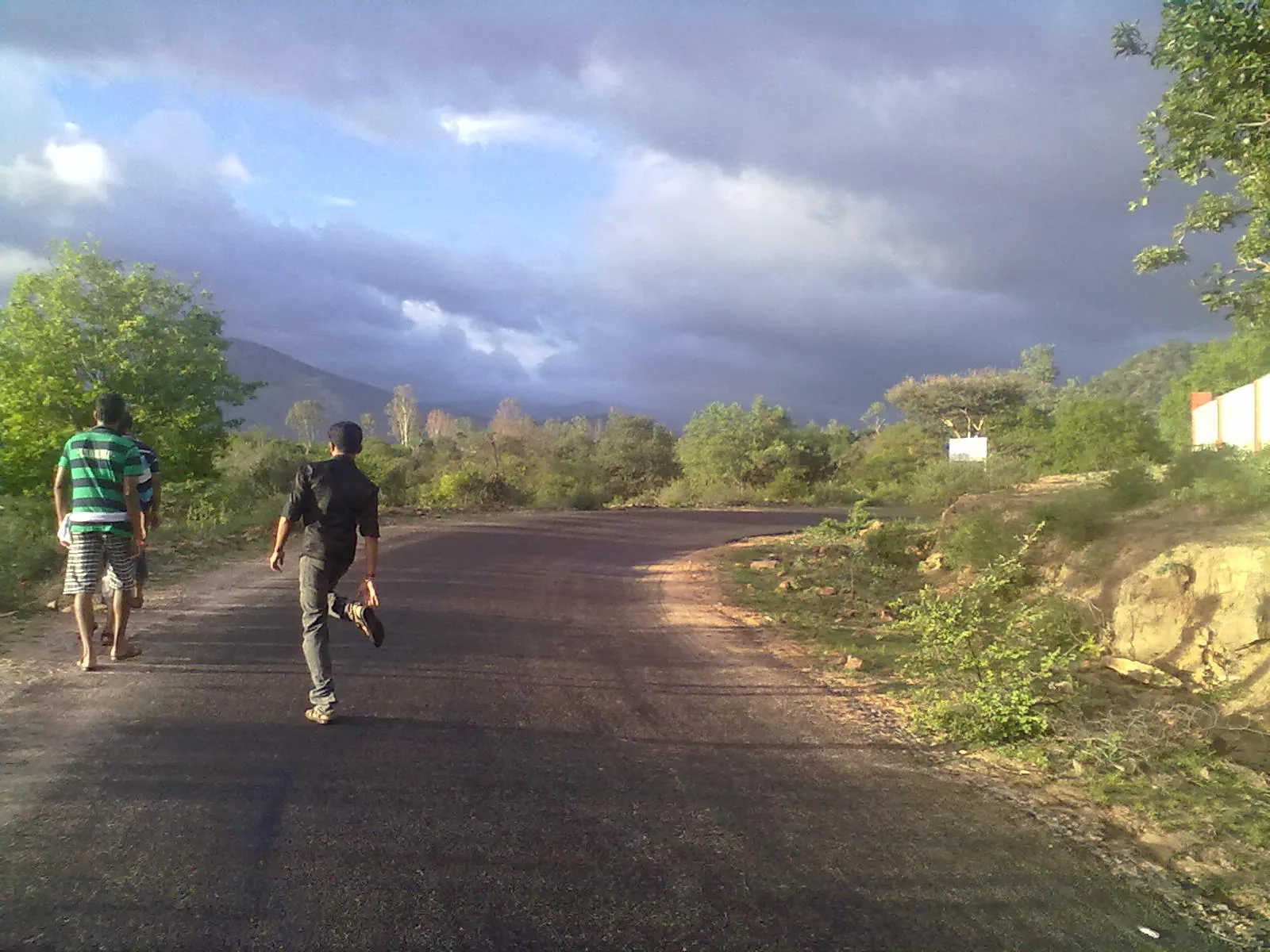
Nothing about the arrival is impressive, and that is worth knowing before you make the drive. What you pull up at is a small counter at the edge of the road at Alampetty, where a stream called the aalampatti thodu goes under the highway in a culvert. There is a register to sign. There is a guide. Then you cross the road and start walking uphill, and within ten minutes the road noise is gone and you are in a landscape that has nothing at all to do with the Munnar in the brochures.

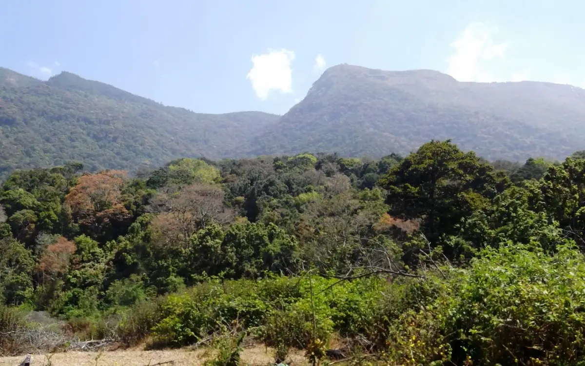
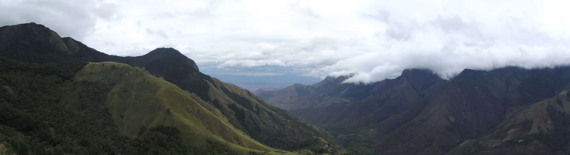
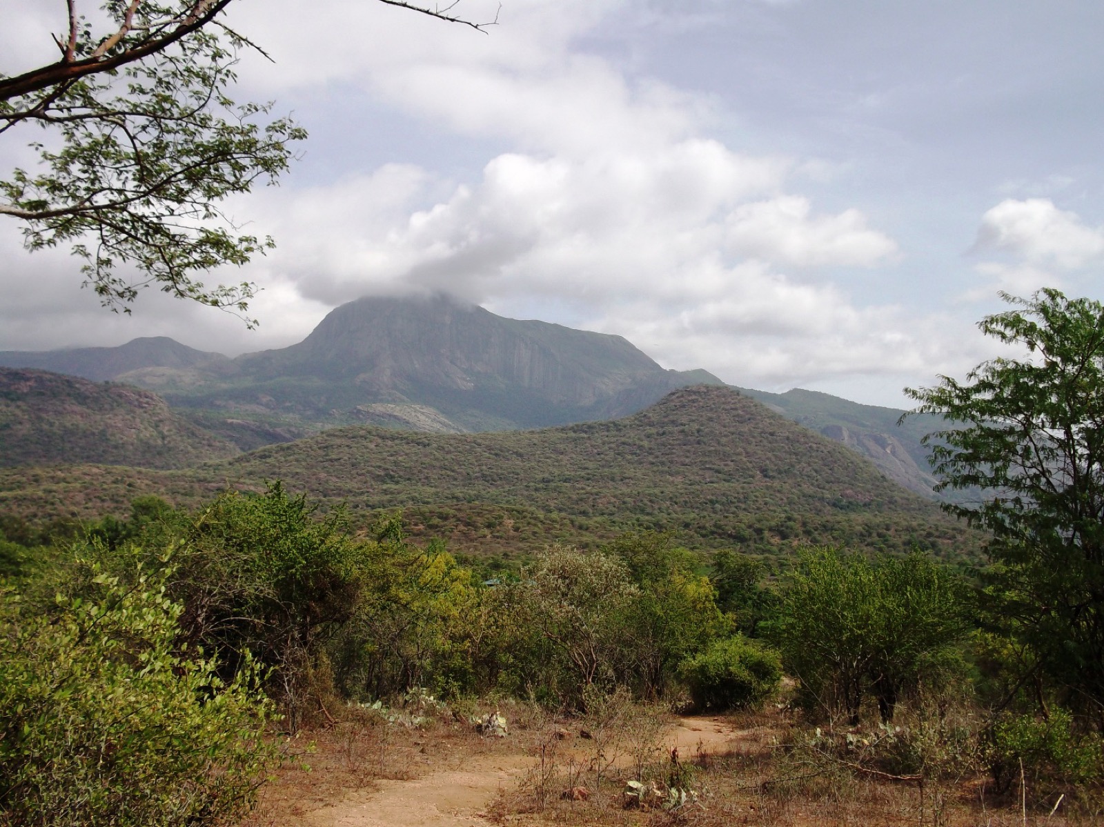
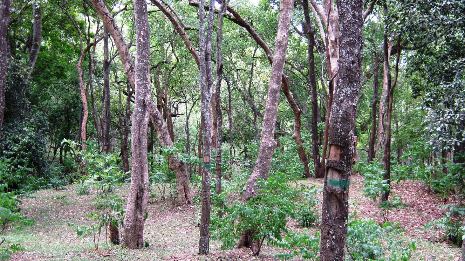
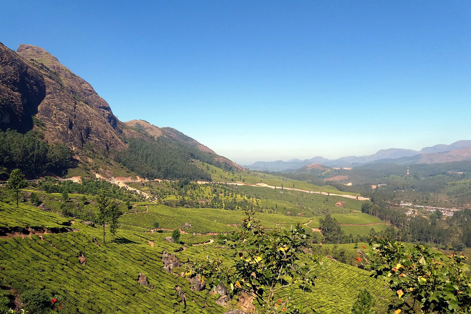
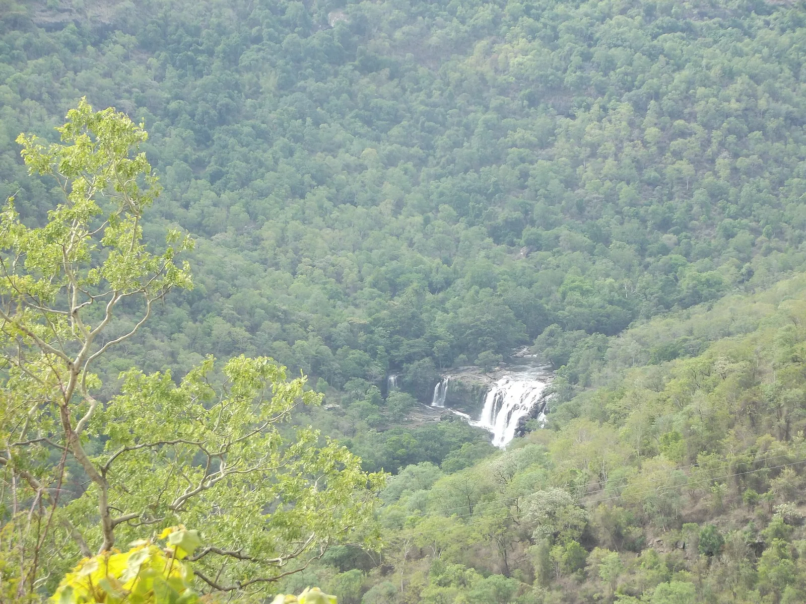
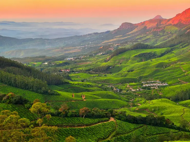
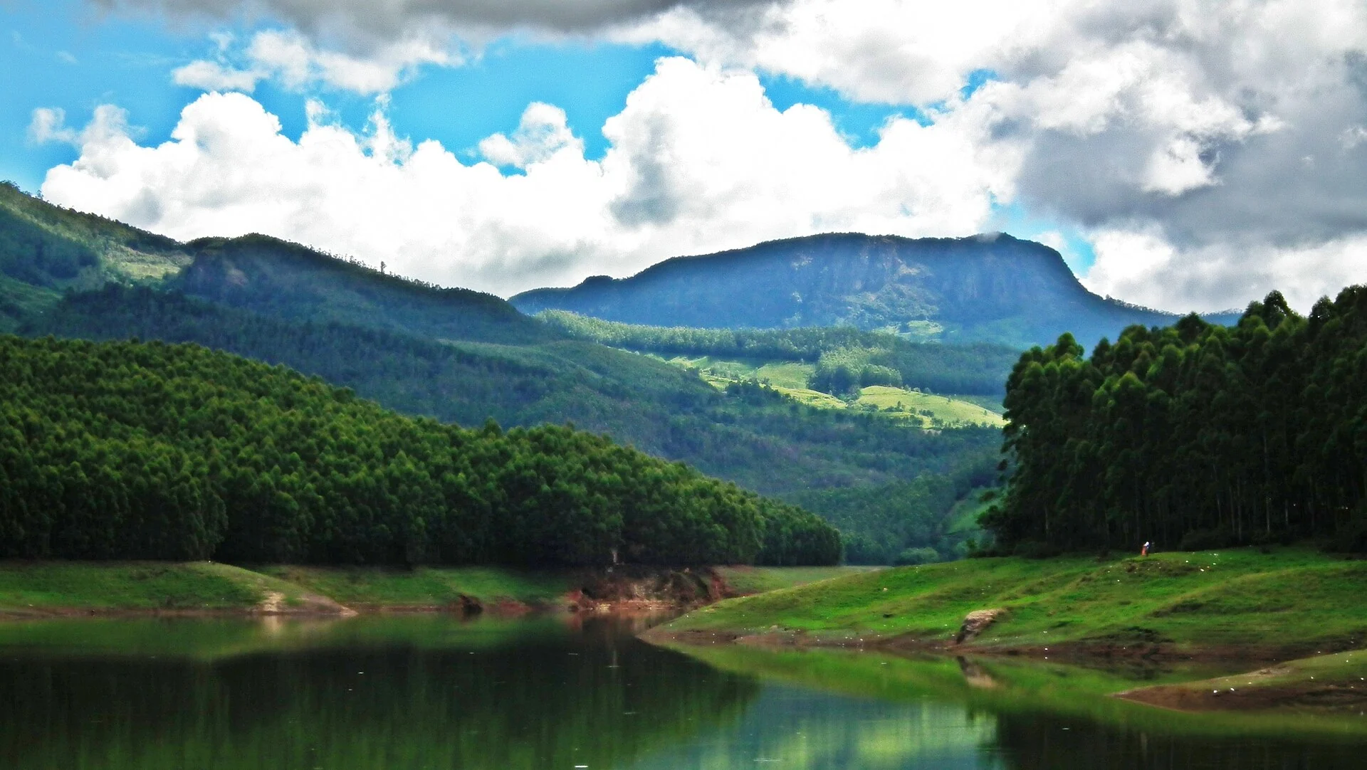
Chinnar is the dry side. Everything a visitor associates with Idukki — the tea, the mist, the cold, the rain that goes on for a fortnight — happens on the western flank of the Western Ghats, where the south-west monsoon hits the wall of the mountains and empties. Chinnar is behind the wall. It takes roughly five hundred millimetres of rain a year, spread over something like forty-eight days, which is less than a tenth of what falls on the coast. The result is thorn scrub and dry deciduous forest on red-brown ground, with sandal in the folds and riverine strips of green along the two rivers. You can be in a cardamom hill in the morning and in something that looks like the Deccan by lunch, and the drive between them is under fifty kilometres.

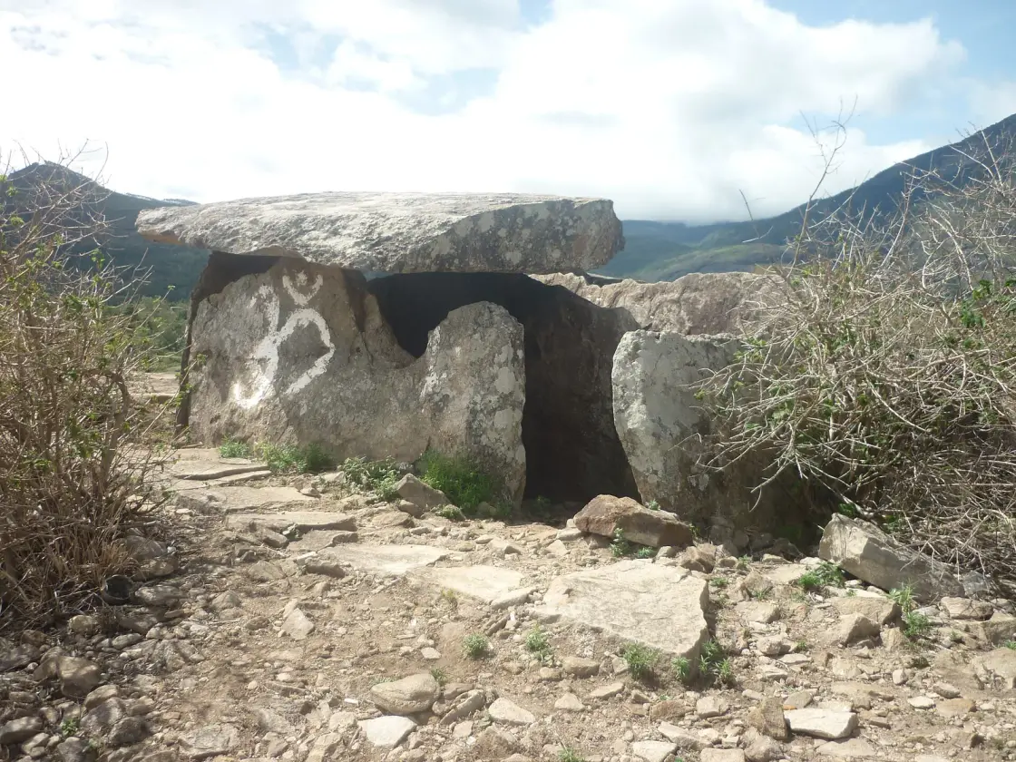
What you climb to are the muniyara. The word is Malayalam — muni, a sage or an ascetic, and ara, a chamber — and it is what people here have called these things for centuries: the sages' rooms. Physically a muniyara is four dressed granite slabs set on edge to make a rectangular box, roughly waist to chest high, with a fifth slab laid flat across the top as a roof. Many have a round hole cut through one of the side slabs. They are burial chambers, they are megalithic, and in the Marayoor–Anjunad valley below they run into the thousands. The ones on this walk are smaller, scattered groups inside the sanctuary, sitting on the bare rock of the hilltops in twos and threes and fives, and the guides will tell you that each cluster belonged to one family.

The other half of the walk is the paintings. Somewhere around twenty-five painted rock shelters have been recorded in these hills, and a guided group is usually shown a few of them — some in white kaolin, some in red ochre, on the undersides of overhangs. The figures are the ones prehistoric rock art almost everywhere gives you: people, some of them apparently dancing; cattle and buffalo and deer and elephant; and, in a few of them, honeycombs and a figure climbing to them, which is the oldest continuously practised livelihood in these hills and one that people in the settlements here still follow.

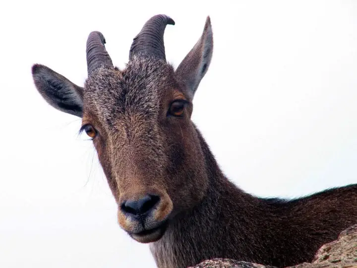
The forest around all this is not scenery. Chinnar holds India's main population of the grizzled giant squirrel, a large, shy, grey-flecked animal that lives in the riverine trees along the Chinnar and the Pambar and effectively nowhere else in the country; there are Indian star tortoises on the dry ground and, unusually, a small population of white gaur. There are also elephants, which is the reason your guide will not let you walk ahead of him. The eleven settlements inside the sanctuary — seven Muthuva and four Hill Pulaya — grow ragi and citronella, and it is their Eco-Development Committees, not a tour company, that take the money and provide the guides.

Two honest warnings, because this walk is sold in places as an easy cultural add-on and it is not quite that. The first is that it is genuinely hot and genuinely thorny — open slope, loose rock, no shade, nothing to drink after the counter — and the dry season here is a different climate from the one your hotel in Munnar is in. The second is that nothing about a Forest Department programme is guaranteed to run on any given day: fire season, animal movement and staff shortages close these walks with no notice at all. Phone the Wildlife Warden's office before you drive forty-six kilometres to a counter.

Legend & myth

The name is the legend. Muniyara means the chamber of a muni — a sage, an ascetic, one of the forest-dwelling holy men of Indian tradition — and the belief behind it is that these stone boxes were where such men sat and meditated, and in some tellings where they were finally laid. It is a beautiful reading and it is almost certainly not what happened; archaeology says these are burial chambers of an Iron Age farming and herding society, not hermitages. But the name has outlasted every explanation offered since, and it is what a guide from the settlements will call them, so it is worth knowing what you are being told.

The valley below carries the name too, in a way. Marayoor is often glossed locally as the place of the hidden or concealed — maray, to hide — with the story attached that the Pandava brothers hid here during their exile, and that the muniyara are what they left. Kanthalloor, Keezhanthoor and the other Anjunad villages have their own versions. Roampedia records the tradition as tradition. There is no archaeological support for a Mahabharata connection, and the dolmens predate the story that explains them by a very long way.

The paintings have their own folklore, which is a claim about age rather than a story: guides at the shelters have been recorded telling visitors that the figures are nine or ten thousand years old. No published excavation supports a number like that for these particular shelters, and rock art is notoriously hard to date directly. It is repeated here because you will hear it on the walk, not because this page believes it.

Read the full history of Chinnar Dolmen Culture trek 634 more words

History

The firm history begins with the burials, and the authority is the Kerala State Department of Archaeology, which describes the Marayoor–Anjunad valley as carrying dolmens along with cists, urn burials and menhirs, with dolmens "the predominant type", found "on almost all rocky surfaces and hillocks". These are monuments of the Megalithic Age. In south India that period is conventionally placed in the Iron Age, broadly between about 1500 and 500 BCE, and iron implements and pottery have come out of excavated burials in the valley.

Five clusters below — the dolmens at Thittavayal, two sites at Kovilkadavu, the Kanakkayam Hill Pulaya settlement and Kovilkadavu Market — were declared protected monuments by a single notification in 2006. That protection covers the Marayoor field, not the scattered groups inside the sanctuary that this walk visits, which is part of why the sanctuary ones can only be seen with a departmental guide.

You will also meet a competing number. A figure of five thousand years for the Marayoor dolmens circulates widely and is said to rest on a certificate held at the panchayat office; it is quoted in travel writing and by guides. It is roughly three times older than the archaeology department's own framing of the same monuments. Both are printed here rather than one being chosen, because the second one has never been shown to us with a source we could check.

The sanctuary itself is recent by comparison. Chinnar was constituted in August 1984, covers 90.44 square kilometres, and runs from about 400 m on the Chinnar river up to 2,522 m at Kumarikkal — a range of more than two kilometres of altitude inside one small reserve, which is why its species lists are so long: on the order of 963 plants, 225 birds, 52 reptiles and 28 mammals. It is managed by the Munnar Wildlife Division under a Wildlife Warden based at the Forest Information Centre in Munnar.

The eco-tourism programmes came later still, and they were built deliberately around the settlements rather than around a ticket office. The treks are run by the Forest Department "in association with Eco-development committees formed by tribal communities", in Kerala Tourism's own words; the culture trek is operated by the Tribal Tracker Eco-Development Committee under the Anamudi Forest Development Agency. The guide is the point of the model, not an add-on to it — the fee goes to the committee, and the interpretation you get on the hill is the settlements' own.

🔴 One piece of the official record has quietly rotted. Kerala Tourism still prints chinnar.org as the sanctuary's website and [email protected] as its email, and the Wildlife Warden's contact block on several government-adjacent pages repeats them. The domain no longer belongs to the Forest Department: it now redirects to an unrelated commercial site. The live official pages are chinnar.in and the division's booking system at booking.munnarwildlife.com, and the phone numbers below still work.

Why visit

Stone burial chambers three thousand years old or thereabouts, on bare hilltops, reached on foot — not behind a railing, not on a coach route, and not reachable at all without the guide.

Painted rock shelters in white kaolin and red ochre, of which about twenty-five are recorded in these hills.

The only rain-shadow landscape you can reach from Munnar: thorn and dry deciduous forest that takes roughly 500 mm of rain in about 48 days, on the leeward side of the same mountains that give the coast three metres.

The grizzled giant squirrel, whose main Indian population lives in the riverine trees of this sanctuary.

A guide from one of the eleven Muthuva and Hill Pulaya settlements inside the reserve, whose committee is paid for the walk.

A morning that is completely unlike every other day out of Munnar, which are all variations on tea, mist and a viewpoint.

What to expect

Highlights

  • Megalithic burial chambers reached on foot with a tribal guide — four dressed granite slabs under a capstone, the shape Malayalam calls a muniyara, "the sage's chamber".
  • Rock shelters painted in white kaolin and red ochre. About 25 are recorded in these Anamalai hills; a guided group is usually shown a handful of them.
  • Chinnar itself, which is unlike anywhere else you will go from Munnar: a rain-shadow sanctuary of thorn and dry deciduous forest that takes roughly 500 mm of rain in about 48 days a year, on the leeward side of the Ghats.
  • The grizzled giant squirrel, which lives in the riverine strips here and almost nowhere else in India — Chinnar holds the country's main population.
  • The Muthuva and Hill Pulaya families whose Eco-Development Committees run the walk. The guide is from one of the eleven settlements inside the sanctuary, and the interpretation is theirs.
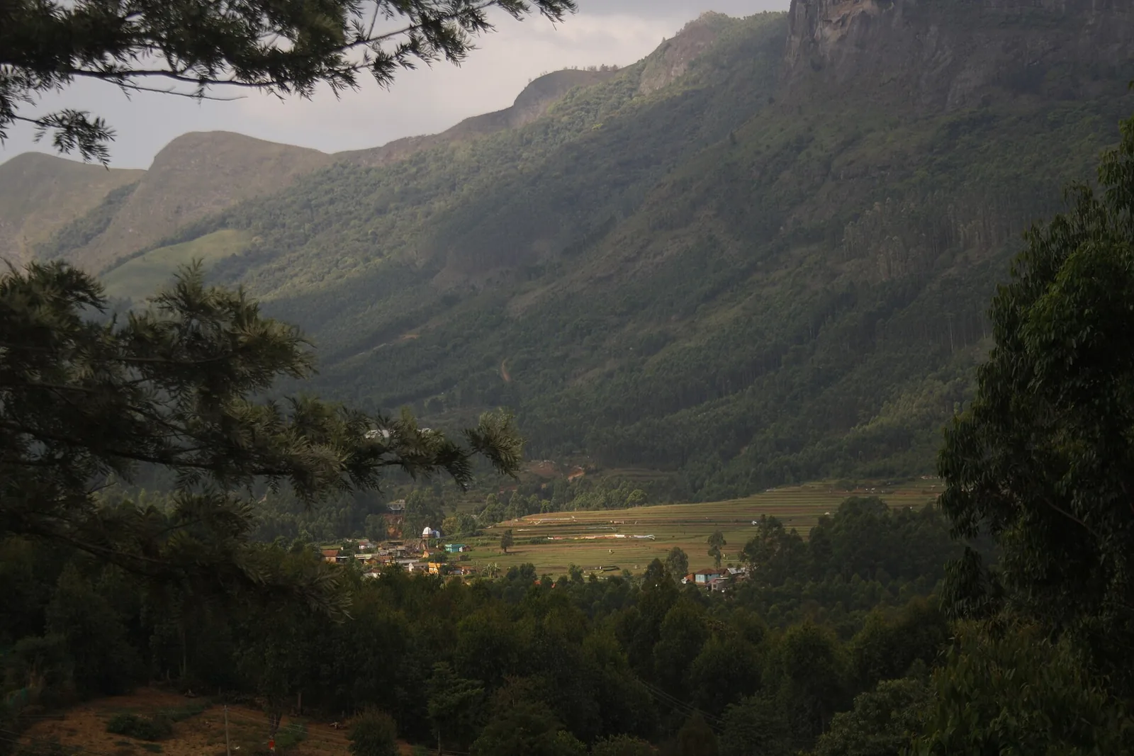
  • A view of the Anjunad valley on the way up, with the Tamil Nadu plains beyond the ridge and the sandal forests of Marayoor below.
Getting there

How to visit

  • Report at the Alampetty guide stand on the Marayoor–Udumalpet road (SH17), 6.4 km past Marayoor. It is a roadside counter beside the stream crossing, on the same spot the Thoovanam falls trek starts from — not the big Chinnar check post, which is another 10.2 km up the road.
  • Go early. The sanctuary's visiting hours are 07:00 to 18:00, the walk takes about three hours, and this is open dry-forest country that gets very hot by mid-morning.
  • You cannot do it alone and you cannot book it online. Guides are assigned at the counter by the Eco-Development Committee, and the department's booking site sells only the sanctuary's log houses — not treks.
  • Phone ahead: +91 4865 231587 (Wildlife Warden, Forest Information Centre, Munnar), or the mobiles 94479 79093, 83010 24187 and 85476 03199. Group size and whether the walk is running that day are both decided locally.
  • ⚠ Ignore the email and website Kerala Tourism still prints for this sanctuary. The chinnar.org domain no longer belongs to the Forest Department — it now redirects to an unrelated site — so [email protected] should not be relied on. The live official pages are chinnar.in and booking.munnarwildlife.com.
  • Carry your own water and wear closed shoes. There is no shop, no shade and no toilet on the route once you leave the road.

Distance by road

  • Kochi107 km
  • Madurai172 km
  • Thiruvananthapuram226 km
  • Coimbatore252 km
  • Kozhikode276 km

Road km to Idukki; ghat roads and traffic vary — allow extra.

Timing

Best time

September to March. Chinnar sits in the rain shadow and gets most of its little rain from the north-east monsoon between October and December, so the hills are green and the walking is comfortable from September onward; December to February is the best combination of cool mornings and clear ground. March to May is the season for wildlife on the river but the dry forest is punishingly hot by nine in the morning. This is one of the few places near Munnar that is genuinely workable in the south-west monsoon (June to August), because the rain falls on the other side of the ridge — but the streams on the route can still come up.

Weather in Chinnar Dolmen Culture trekSeasonal guide

Live forecast loads in your browser.

Today at Chinnar Dolmen Culture trek
Sunrise6:10 am
Sunset6:08 pm
Golden hour best light5:08 pm–6:08 pm
Blue hour after sunset6:08 pm–6:33 pm
Sun sets toward compass bearingW · 264°
Moon tonight🌘 Waning crescent · 11%
Retreating monsoon. October and November still see spells of rain from the retreating monsoon, though it is usually lighter than mid-year. Conditions are generally good but worth checking.

Sun and moon are calculated for this location and shown in IST. Photography windows are the hour around sunrise and sunset; the sunset bearing is degrees clockwise from true north. Moon phase is accurate to about half a day.

Visitor notes

  • This is the Chinnar dolmens, not the Marayoor ones. The famous muniyara field at Marayoor is a separate site 6 to 16 km back down the road — you drive to it, it is open ground, and five of its clusters are protected monuments under a single 2006 notification. The Chinnar sites are smaller, scattered groups inside the sanctuary that you can only reach on foot with a guide.
  • 🔴 No official tariff for this walk is published anywhere we could find, in English or in Malayalam. Figures in circulation range from ₹300 and ₹400 a head to ₹3,500 for a party of up to six on a three-hour, five-location itinerary. They may all be right — they look like different programmes — but this page will not pick one. The only trek fee the department itself publishes from this counter is the Thoovanam falls walk: ₹250 for Indians, ₹600 for foreigners.
  • The age of what you are shown is not settled either. The Kerala State Department of Archaeology dates the Marayoor–Anjunad burials to the Megalithic Age, which in south India is broadly 1500–500 BCE; a "five thousand years" figure circulates locally on the strength of a certificate held at the panchayat office, and guides at the rock shelters have been recorded saying the paintings are nine to ten thousand years old. Only the first of those three has an official source behind it.
  • Nothing about this programme is guaranteed to run. Forest Department treks close for fire season, for animal movement, for staff shortages and at no notice. Phone before you drive 46 km.
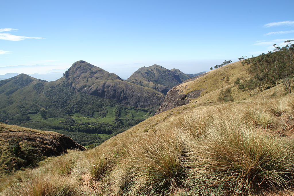
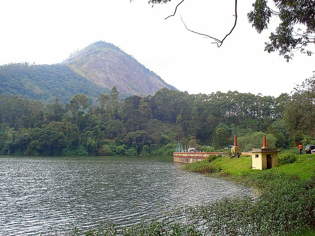
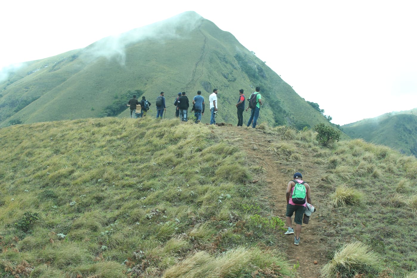
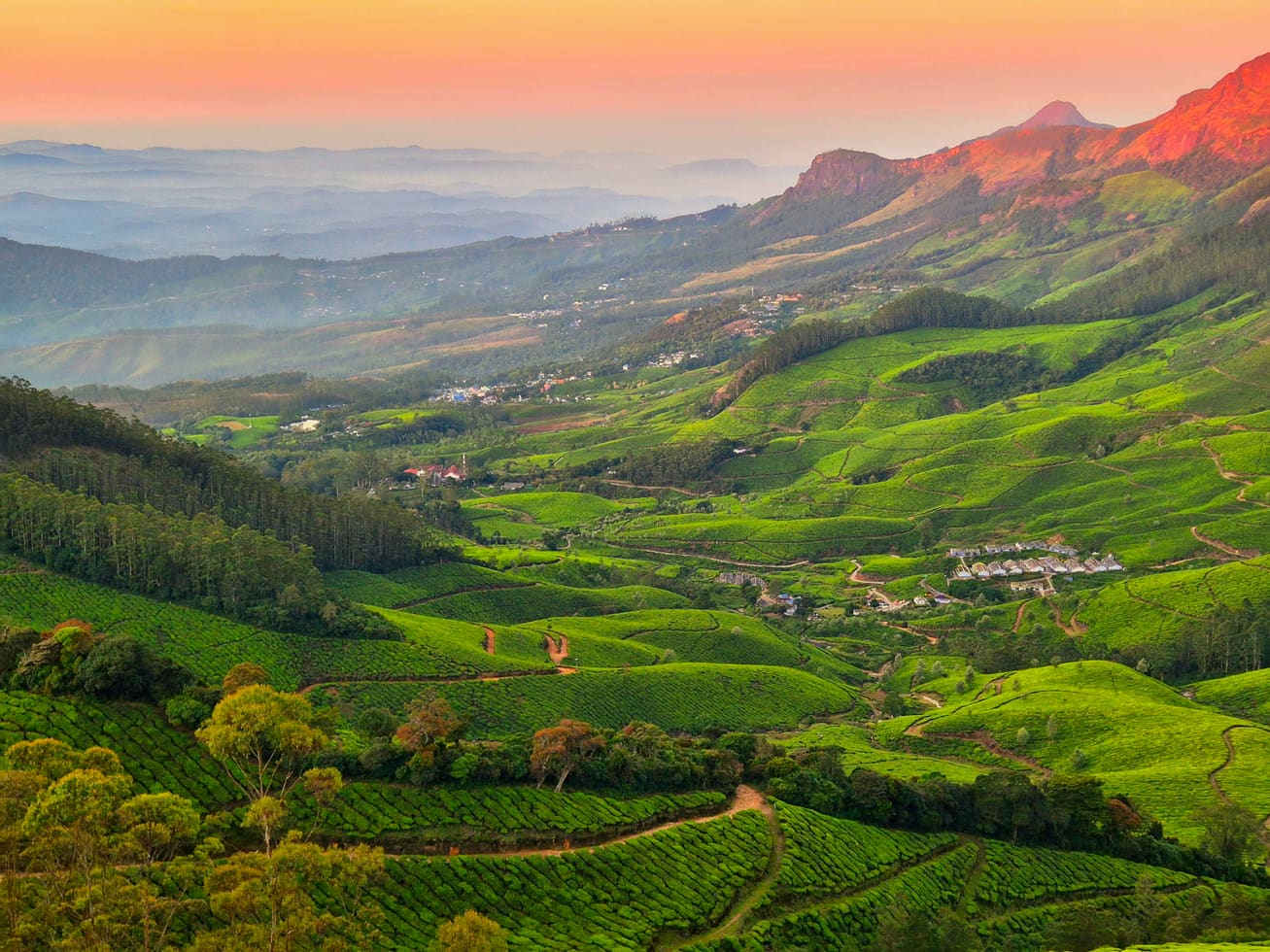
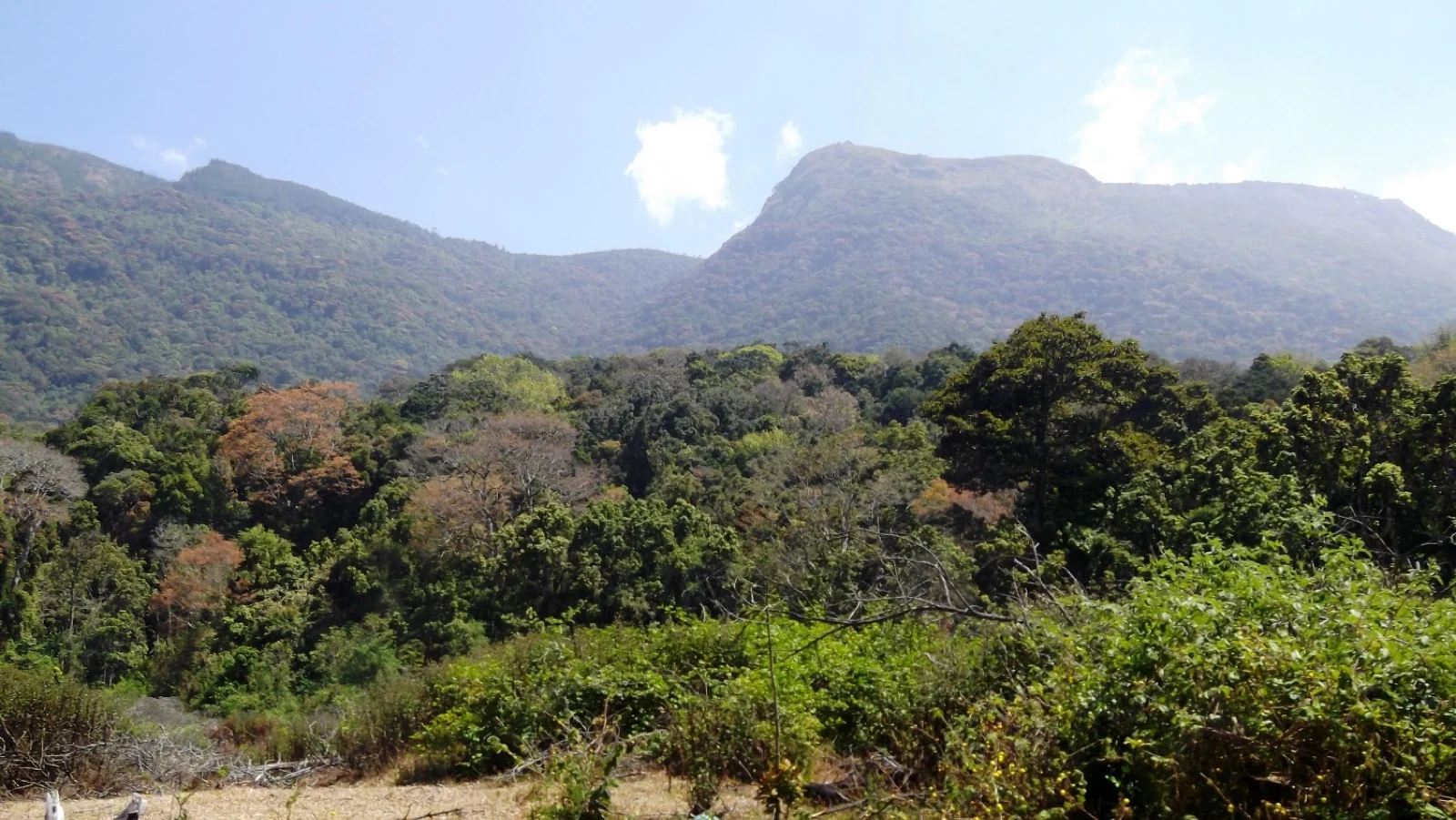
  • Wikimedia Commons has no photograph of the Chinnar dolmens or of the painted shelters, checked by name, by category and by coordinate. The pictures on this page are of the Marayoor muniyara, of the sanctuary and of the check posts, and each one says which.
Safety

Good to know

  • This is a wild sanctuary with elephants in it, and the walk leaves the road. Stay with the guide, stay together, and do not walk ahead — that instruction is the whole of your safety margin here.
  • Rain-shadow forest is thorn forest. Long trousers and closed shoes, not sandals; the ground is loose rock and dry grass and the scrub bites.
  • Heat and no water. There is no shade on the open slopes, nothing to drink after the counter, and the dry season here is far hotter than anything you will have felt in Munnar 1,000 m higher up. Carry more water than feels necessary.
  • The road in is a forest highway with animals on it. Drive it in daylight, keep to the speed limit through the sanctuary, and do not stop for elephants.
Official eco & forest programmes

Experiences around Chinnar Dolmen Culture trek

These are official or public-sector eco offerings that match this place, town or forest destination. Confirm availability, permits, tariffs and reporting times with the official operator before travel.

Meesapulimala, Chinnar Dolmen Culture trek
trekforest staycamping

Meesapulimala trek through Rhodo Valley

Hard high-altitude trek from the Munnar side via Rhodo Valley, run through KFDC eco-tourism with guide, food and stay options.

KFDC Ecotourism MunnarOvernight with next-day trek
Official source →
Meesapulimala Base Camp, Chinnar Dolmen Culture trek
campingforest staytrek

Munnar Base Camp tent stay

KFDC tent stay near Meesapulimala base camp, with campfire, food and optional trek towards Meesapulimala or Rhodo Valley.

KFDC Ecotourism MunnartentOvernight
Official source →
Meesapulimala Base Camp, Chinnar Dolmen Culture trek
forest staytrekviewpoint

Munnar Sky Cottage

Lonely cliff-side KFDC cottage facing a waterfall and Anamudi views, paired with Meesapulimala trekking.

KFDC Ecotourism Munnarforest cottageOvernight
Official source →
Rhodo Valley, Chinnar Dolmen Culture trek
forest staytrekviewpoint

Munnar Rhodo Mansion

KFDC Rhodo Valley night stay with elephant-trench protection, campfire, food and next-day Meesapulimala climb.

KFDC Ecotourism Munnarforest cottageOvernight
Official source →
Eravikulam National Park, Chinnar Dolmen Culture trek
wildlifeviewpoint

Eravikulam National Park visit

High-altitude grassland national park and Nilgiri tahr habitat near Munnar.

Kerala Forest Department
Official source →
Chinnar Wildlife Sanctuary, Chinnar Dolmen Culture trek
trekwildlifeforest stay

Chinnar Wildlife Sanctuary eco visit

Dry-forest wildlife sanctuary east of Munnar, listed in Kerala Tourism’s ecotourism inventory.

Kerala Forest Department
Official source →
Pambadum Shola National Park, Chinnar Dolmen Culture trek
trekwildlifeforest stay

Pambadum Shola National Park eco visit

Shola forest national park near the Munnar/Vattavada side, listed as an ecotourism destination and programme.

Kerala Forest Department
Official source →
Anamudi Shola, Chinnar Dolmen Culture trek
trekwildlife

Anamudi Shola eco visit

Shola-grassland forest landscape in Idukki, included in Kerala Tourism’s official ecotourism destination list.

Kerala Forest Department
Official source →
Marayoor, Chinnar Dolmen Culture trek
wildlifeinterpretationtrek

Marayoor sandalwood forest eco visit

Sandalwood and dry-forest landscape on the Munnar-Chinnar side, listed by Kerala Tourism as an ecotourism destination.

Kerala Forest Department
Official source →
Stay · eat · do · rent · see · shop

Stays, food & things to do near Chinnar Dolmen Culture trek

Verified hotels, homestays, restaurants, experiences, sights, shops and rentals around Chinnar Dolmen Culture trek — commission-free, with direct contact. Filter by what you need.

Eravikulam National Park Official Ticket Booking — Official park ticket booking in MunnarPhoto: Jiths
Top pick
Official park ticket booking · Munnar
Eravikulam National Park Official Ticket Booking
78.5 km · 124 min drive~₹1520–1760 by taxi

Official park ticket booking in Munnar. Eravikulam National Park, Munnar, Kerala 685612 · official booking, national park, Rajamala.

Directions Commission-freeView details
Munnar Wildlife Division Online Booking — Official forest booking office in MunnarPhoto: Jiths
Top pick
Official forest booking office · Munnar
Munnar Wildlife Division Online Booking
68.9 km · 105 min drive~₹1350–1560 by taxi

Official Munnar Wildlife Division booking portal for forest stays, trekking and protected-area visitor services.

Directions Commission-freeView details
KDHP Tea Museum Munnar — Tea museum in MunnarPhoto: Ingo Mehling
Top pick
Tea museum · Munnar
KDHP Tea Museum Munnar
70.6 km · 107 min drive~₹1370–1590 by taxi

Official Kanan Devan Hills Plantations tea museum at Nullatanni Estate, a short drive from Munnar town.

Directions Commission-freeView details
Luxury resort · Munnar
Blanket Hotel & Spa Munnar
74.0 km · 115 min drive~₹1440–1660 by taxi

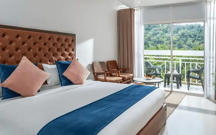
Blanket Hotel & Spa is in Pallivasal overlooking Attukad Waterfalls. Compare its room categories by the view and room arrangement you want; the property offers several different suites. Ask for the total rate, meal inclusions and the transfer from your actual Munnar arrival point.

Directions Commission-freeView details
Tea-estate bungalows · Munnar
KDHP Tea Sanctuary Bungalows

KDHP offers separate tea-estate bungalows around Munnar, including Kalaar, Lake View and Viriparai. Choose the named bungalow before comparing bedrooms and access. KDHP House is the reservations office; obtain arrival directions for the bungalow you book.

Commission-freeView details
Luxury resort · Munnar
Chandy's Windy Woods Munnar
77.2 km · 119 min drive~₹1500–1730 by taxi

Chandy’s Windy Woods is a resort on terraced hill slopes near Munnar. Its hillside setting is a different choice from a town hotel. Compare the room category and view, and check the road transfer before combining your stay with early sightseeing departures.

Directions Commission-freeView details
Luxury resort and spa · Munnar
The Fog Resort & Spa Munnar
83.8 km · 126 min drive~₹1610–1870 by taxi

Luxury resort and spa at Chithirapuram with villas, Ayurveda spa, restaurant and direct reservations.

Directions Commission-freeView details
Luxury hotel and spa · Munnar
Amber Dale Luxury Hotel & Spa Munnar
75.6 km · 114 min drive~₹1470–1700 by taxi

Amber Dale Luxury Hotel & Spa sits on KSEB Tunnel Road at Pallivasal, Munnar. It pairs a restaurant and Ayurveda spa with a conference hall and activities such as cycling, trekking and camp fires.

Directions Commission-freeView details
Luxury hotel and spa · Munnar
The Panoramic Getaway Munnar
80.5 km · 120 min drive~₹1550–1800 by taxi

The Panoramic Getaway is at Chithirapuram, with separate family and adults’ pool areas and room choices including family suites. Compare the room layout and pool access you need, then confirm meals and the current total booking price.

Directions Commission-freeView details
Official budget forest stay · Munnar
Pampadum Shola Forest Stays, Munnar Wildlife
49.5 km · 74 min drive~₹1000–1160 by taxi

Official budget forest stay in Munnar. Pampadum Shola National Park, booked through Forest Information Centre, Wildlife Warden's Office, Munnar PO, Idukki District, Kerala 685612 · Budget official forest stay · Forest stay, Pampadum Shola, Official booking.

Directions Commission-freeView details
Official trekking booking · Munnar
Munnar Wildlife Trekking Official Booking
68.9 km · 105 min drive~₹1350–1560 by taxi

Official Munnar Wildlife Division trekking information and booking contact. Forest Information Centre, Wildlife Warden's Office, Munnar PO, Idukki District, Kerala 685612 · trekking, official booking, forest.

Directions Commission-freeView details
Luxury boutique spa resort · Munnar
SpiceTree Munnar
88.5 km · 129 min drive~₹1700–1960 by taxi

SpiceTree Munnar is on Muttukad–Periakanal Road at Nadukkurissu, in the Chinnakkanal area. Its pool villas, cottages with a Jacuzzi and honeymoon suites with a plunge pool are different room choices. Specify the category and inclusions when requesting a quote.

Directions Commission-freeView details
Mid-range town hotel · Munnar
Grand Plaza Munnar
70.1 km · 106 min drive~₹1370–1580 by taxi

Eco boutique hotel with 39 rooms overlooking tea plantations. Set on M.S.A Road close to the heart of Munnar.

Directions Commission-freeView details
Resort · Munnar
Misty Mountain Resort Munnar
76.6 km · 115 min drive~₹1480–1720 by taxi

Misty Mountain Resort offers standard, valley-view and deluxe room categories near Munnar. Decide whether the view or room arrangement is your priority when comparing quotes. Ask the hotel which category is available for your dates and how meals and sightseeing transfers are charged.

Directions Commission-freeView details
Premium nature resort · Munnar
Rivulet Resort Munnar
82.9 km · 125 min drive~₹1600–1850 by taxi

Premium Chithirapuram-side nature resort with restaurant, activities and direct booking evidence. Rivulet Resort, Chithirapuram P O, Munnar, Kerala 685565 · Premium nature resort · Resort, Chithirapuram, Nature stay.

Directions Commission-freeView details
Premium tea-valley resort · Munnar
Tea Valley Resort Munnar
74.3 km · 114 min drive~₹1440–1670 by taxi

Tea Valley Resort is on Bisonvalley Road at Pothamedu, Pallivasal. Choose it for a stay among tea plantations rather than a town-centre address. Ask about the final road approach, room category and meal arrangements when comparing the full cost of a Munnar holiday.

Directions Commission-freeView details
Hotel restaurants · Munnar
Desi Aromas & Underground Restaurants, The Panoramic Getaway
80.5 km · 120 min driveIndian, Kerala, Mexican, Italian, Cafe, Multi-cuisine~₹1550–1800 by taxi

Two named restaurants at The Panoramic Getaway: Desi Aromas for Indian cuisine and Underground for grill specialties.

Directions Commission-freeView details
Adventure tour operator · Munnar
Kalypso Adventures Munnar Trekking

Adventure operator with Munnar trekking itineraries, cycling and walking holidays in Kerala. Trekking, adventure operator, Munnar trekking.

Directions Commission-freeView details
Ayurveda spa · Munnar
Blanket Ayurveda Spa Munnar
74.0 km · 115 min drive~₹1440–1660 by taxi

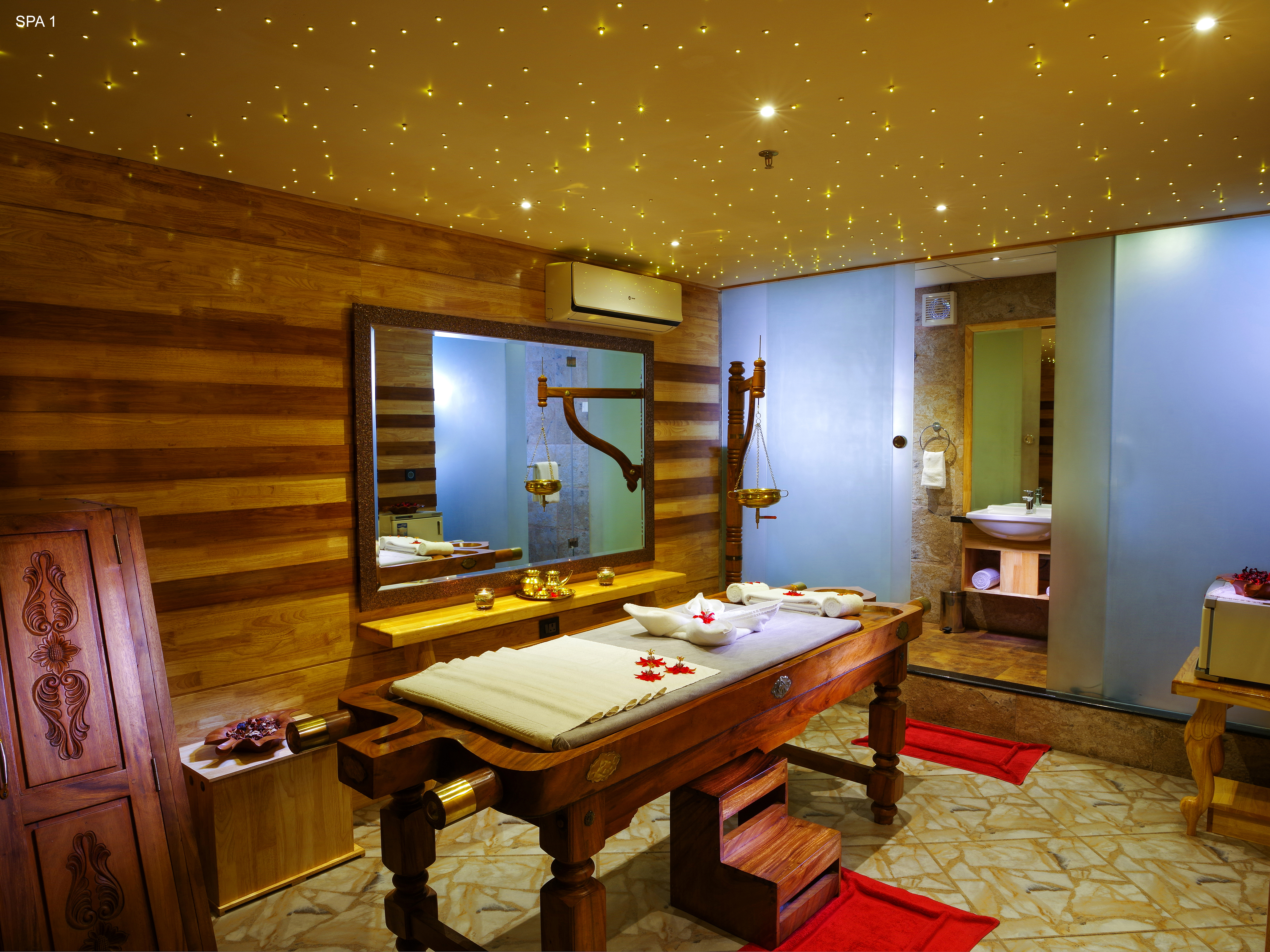
In-house Ayurveda and wellness center at Blanket Hotel & Spa near Attukad Waterfalls. Ayurveda, spa, wellness.

Directions Commission-freeView details
Ayurvedic spa · Munnar
Tattvam Ayurvedic Spa, The Panoramic Getaway
80.5 km · 120 min drive~₹1550–1800 by taxi

Ayurvedic spa in Munnar. The Panoramic Getaway, Chithirapuram, Munnar, Kerala 685565 · Short therapies from Rs. 1199; Ayurveda packages from Rs. 4750; taxes extra · spa, ayurveda, wellness.

Directions Commission-freeView details
Ayurveda spa · Munnar
Amber Dale Ayurveda & Spa
75.6 km · 114 min drive~₹1470–1700 by taxi

Ayurveda and spa facility at Amber Dale Luxury Hotel & Spa in Pallivasal. Ayurveda, spa, wellness.

Directions Commission-freeView details
Spa · Munnar
Bodhi Tree Spa at The Fog Munnar
83.7 km · 126 min drive~₹1610–1860 by taxi

Spa in Munnar. Spa, wellness, Chithirapuram.

Directions Commission-freeView details
Hotel restaurant · Munnar
Grand Spices Restaurant, Grand Plaza Munnar
70.1 km · 106 min drive~₹1370–1580 by taxi

Multi-cuisine restaurant at Grand Plaza Munnar on M. S. A Road. Restaurant, multi-cuisine, hotel dining.

Directions Commission-freeView details
Restaurant · Munnar
Alaska Multi Cuisine Restaurant at The Fog Munnar
83.8 km · 126 min drive~₹1610–1870 by taxi

Restaurant in Munnar. Restaurant, multi-cuisine, Kerala food.

Directions Commission-freeView details

Book with the place itself. India’s cyber-crime coordination centre warned in April 2025 that convincing copies of hotel and pilgrimage booking sites are being pushed through sponsored search and social ads, taking payment for rooms the property never hears about. Every listing here links to the business’s own contact details and its own Google or Bing profile — we take no commission and sit in nobody’s payment path. If a booking page reached you through an ad, check the address bar against the property’s own site before you pay. Fraud can be reported on cybercrime.gov.in or on 1930.

Ranked guides

Top experiences around Munnar

32 more places around Munnar. Open a guide to plan the visit and onward journey.

hill stationMunnar

Kerala’s most famous hill station, known for tea estates, viewpoints and cool weather.

wildlifeEravikulam National Park

High-altitude grassland park, Nilgiri tahr habitat and access point for Anamudi views.

viewpointAnamudi Peak

75.3 km · 132 min drive

The highest peak in South India, viewed through Eravikulam/Rajamala access contexts near Munnar.

wildlifeRajamala

Rajamala is the designated tourism and awareness zone of Eravikulam National Park near Munnar. It is not a separate unrestricted summit trek or the whole national park.

museumTea Museum

Tea-history museum in Munnar linked with the plantation story of the high ranges.

damMattupetty Dam

Reservoir, boating and lake-view stop on the Munnar-Mattupetty sightseeing circuit, usually paired with Echo Point and Kundala.

viewpointEcho Point

Popular Munnar lakeside viewpoint on the Mattupetty-Kundala route, useful for short stops, photos and family sightseeing.

damKundala Lake

35.6 km · 52 min drive

High-range lake and dam stop beyond Mattupetty on the Top Station route.

viewpointTop Station

A border-highland viewpoint in Theni, Tamil Nadu, normally approached through Munnar, Mattupetty and Kundala; named for the former tea-transport terminus, with a separate stepped viewpoint walk.

trekMeesapulimala trek

33.1 km · 49 min drive

Popular high-altitude Western Ghats trek, usually booked through official eco-tourism channels.

viewpointKolukkumalai

High tea-estate sunrise viewpoint reached by jeep from the Munnar side.

wildlifeChinnar Wildlife Sanctuary

11.3 km · 19 min drive

Dry-forest wildlife sanctuary on the Marayoor-Udumalpet side of Idukki.

heritageMarayoor

6.4 km · 10 min drive

High-range village known for natural sandalwood forests, dolmens and sugarcane jaggery.

wildlifePambadum Shola National Park

Pampadum Shola National Park protects high-elevation forest beside the Top Station–Vattavada road. The Top Station forest check post is the reporting anchor here; forest stays and guided walks require their own confirmed arrangements.

wildlifeAnamudi Shola

32.7 km · 53 min drive

Anamudi Shola National Park protects Mannavan, Pullaradi and Idivara shola forests in the Kanthalloor–Vattavada high ranges. Methappu is the visitor anchor on this page; this is not Anamudi Peak or the Rajamala visitor area.

waterfallLakkam Waterfalls

14.9 km · 25 min drive

Waterfall stop on the Munnar-Marayoor route, usually paired with Eravikulam and Marayoor days.

waterfallAttukad Waterfalls

Waterfall area near Munnar commonly used for short scenic drives and monsoon views.

viewpointLockhart Gap

The pass itself on the Munnar–Bodimettu highway, where the ridge drops away east — and the lay-by the Chokramudi Peak trek reports from, 51 m from the forest counter. A second, busier viewpoint signed "Lockhart Gap Road View Point" sits 1.7 km east.

damAnayirankal Dam

Anayirankal is a KSEB earth-and-rockfill dam and reservoir in the Panniyar hydel system near Chinnakanal and Santhanpara. The map identifies the published hydel visitor-centre marker; boating is not currently assured.

waterfallPower House Waterfalls

The Muthirapuzha spread sideways over bare rock at 796 m, below the tailrace of Pallivasal — the first hydroelectric station Kerala built. Free, unmanaged and very quiet, down about a kilometre of steep narrow lane. ⚠ Not the Chinnakanal falls that Kerala Tourism describes under this name, 21 km east.

viewpointBlossom Hydel Park

The Kerala State Electricity Board’s riverside flower park on the Munnar–Aluva road, 3.3 km below Munnar town and 1.2 km from the KSRTC stand at Old Munnar. It runs along the east bank of the Muthirapuzha immediately above the 1944 R. A. Headworks weir that feeds Pallivasal, Kerala’s first hydroelectric station — which is what the "hydel" in the name means. Open daily 09:15 to 20:15 with tickets sold online by Kerala Hydel Tourism Centre.

hill stationDevikulam / Sita Devi Lake

Hill-station and lake landscape near Munnar associated with Devikulam and Sita Devi, best planned as a quieter high-range side trip.

waterfallNayamakad Waterfalls

Nyayamakad, also called Nayamakad, is the waterfall and tea-estate landscape on the Munnar–Rajamala approach. The map uses the identifiable Nyamakad roadside stream-view base, not a waterfall lip, pool entrance or estate walking permit.

trekChokramudi Peak trek

Forest Department peak trek from the counter at Gap Road, 13.2 km from Munnar: a mapped 2.09 km path climbing about 460 m of grassland and shola to a summit whose altitude four sources disagree about.

trekKurinjimala Sanctuary trek

35.3 km · 65 min drive

The 32 km² sanctuary above Kottakamboor and Vattavada, notified in 2006 for one plant — Strobilanthes kunthiana — with two walks and two stays in the Forest Department's own brochure and nothing bookable online.

trekThoovanam Falls trek

30 m · 1 min walk

Forest Department guided walk in Chinnar Wildlife Sanctuary, from the Alampetty counter on SH17 down the river to the Thoovanam waterfall. Kerala Tourism contradicts itself on which river it follows: its own destination article says the Pambar, and the page selling this programme says the Chinnar.

trekVasyappara Trekking and Camping

10.2 km · 15 min drive

Forest Department trekking-and-camping programme at Vasyappara in Chinnar Wildlife Sanctuary — an overnight stay in a mud hut on a hill crest, published by the department as the Chinnar Valley Safari Trail. Report at 3 pm at the Chinnar check post on the Marayoor–Udumalpet road, not at the Alampetty counter 10.2 km back.

hill stationKanthalloor

10.6 km · ~18 min by cab

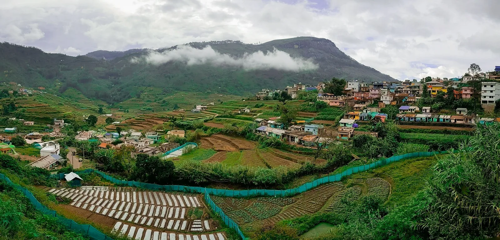
High-range village near Marayoor often called the “Kashmir of Kerala”, known for terraced farms of apples, oranges, strawberries and vegetables at around 1,800 m.

hill stationVattavada

16.6 km · ~28 min by cab

Cool high-altitude farming village beyond Munnar near the Tamil Nadu border, known for terraced vegetable and fruit cultivation, Kurinji slopes and quiet valley views.

viewpointPothamedu Viewpoint

A road-accessible viewpoint in Pothamedu south of Munnar, looking across planted hills and wooded valleys. The viewpoint marker is separate from the wider village and from private plantation walking routes.

wildlifeMathikettan Shola National Park

Mathikettan Shola protects a remnant of native Cardamom Hills forest in Idukki. Visits are arranged through the Forest Department, with distinct Pethotty and Choondal approaches; a reservoir viewpoint is not a park-entry permit.

viewpointChathurangapara Viewpoint

A wind-turbine ridge in Chathurangappara, Udumbanchola taluk, with views towards Theni’s cultivated plains; reached from the Munnar–Kumily road, with an exposed final hill approach.

Roampedia is commission-free — own or know a stay, eatery, guide or shop near Chinnar Dolmen Culture trek? List it and it appears here once verified.

Add a nearby business
Trek facts

Chinnar Dolmen Culture trek — at a glance

DifficultyModerate
DurationAbout three hours on foot
OperatorKerala Forest and Wildlife Department, Munnar Wildlife Division, with the tribal Eco-Development Committees of the sanctuary. The culture trek is run by the Tribal Tracker Eco-Development Committee under the Anamudi Forest Development Agency — the fee goes to the committee and the guide is from one of the settlements.
TimingsThe sanctuary's published visitor hours are 07:00–18:00. A three-hour walk has to start in the first half of that window, and in practice guided treks here are morning departures — the department's own Thoovanam programme from the same counter runs 08:00–14:00. Nothing is bookable for a fixed slot; you turn up, sign the register and go when a guide is free.
Best timeSeptember to March, and December to February for the best of it. Chinnar sits in the rain shadow of the Western Ghats and takes only about 500 mm of rain a year across roughly 48 days, most of it from the north-east monsoon between October and December — so the ground is green and walkable from September onward and the mornings are cool through the turn of the year. March to May is the classic season for wildlife along the rivers but the open slopes are punishing by nine in the morning. Uniquely for this district, the walk is workable through the south-west monsoon (June to August), because that rain falls on the far side of the ridge; the stream crossings can still come up, so ask at the counter.

Entry: 🔴 No official tariff for this walk is published anywhere we could find, in English or in Malayalam — not on chinnar.in, not on the division's booking site, not on Kerala Tourism's own Chinnar pages. Three different figures are in circulation and they are printed here as they stand: ₹400 per person (widely repeated for a three-hour Alampetty–Jellimala cultural walk), ₹300 per person (a 2017 field account of the Alampetty rock-art and dolmen visit, paid to the Tribal Tracker Eco-Development Committee), and ₹3,500 for the whole party on a three-hour, five-location itinerary with a maximum of six people. They may all be correct for different programmes. The one trek fee the department does publish from this counter is the Thoovanam falls walk — ₹250 for Indians, ₹600 for foreigners — which is the only number on this page with an official source behind it. Confirm on +91 4865 231587 before you go.

Photography: No camera charge is published for this walk, and none was reported by visitors who have done it. Photograph the chambers and the painted shelters freely — but ask the guide before photographing him or anyone from the settlements, and do not photograph inside a settlement without being invited. Drones must be assumed prohibited over a wildlife sanctuary unless the Wildlife Warden says otherwise in writing.

Permit: You cannot walk in alone. Entry to the trek routes is through the Forest Department's eco-tourism programme only, and a guide from the Eco-Development Committee is assigned at the Alampetty counter. There is no self-guided option and no permit you can obtain in advance.

Booking: Not bookable online. booking.munnarwildlife.com — the Munnar Wildlife Division's own system — sells only accommodation: the six Chinnar log houses (Thoovanam, Jellimala, Chinnar at Koottar, Churulipetty, Pambaar and Periyakombu) and the huts in the neighbouring parks. Treks are arranged at the counter on the day. Phone +91 4865 231587, or the mobiles 94479 79093 / 83010 24187 / 85476 03199, so somebody is expecting you.

Parking: Roadside only. The Alampetty counter sits on the verge of State Highway 17 where the aalampatti thodu goes under the road; vehicles pull off onto the shoulder. There is no laid-out car park, no attendant and no shade. The proper parking, with a forecourt and buildings, is at the Chinnar check post 10.2 km further on — which is a different reporting point for a different programme.

Wildlife: Chinnar holds India's principal population of the grizzled giant squirrel (Ratufa macroura), which lives in the tall riverine trees along the Chinnar and Pambar rivers rather than on the dry hilltops this walk climbs — if the squirrel is what you came for, do the river or Thoovanam walk instead. The sanctuary also has Indian star tortoise, a rare white gaur population, elephant, gaur, sambar, spotted deer, bonnet macaque and Nilgiri langur, and lists of roughly 225 birds, 52 reptiles, 28 mammals and 963 plants across an altitude range from about 400 m to 2,522 m at Kumarikkal.

Getting here

How to reach Chinnar Dolmen Culture trek

  • ✈︎ By air Cochin International Airport (COK) is the nearest at 149.2 km by road — about three and a quarter hours measured, via Adimali and Munnar, or slightly differently via Udumalpet. Coimbatore is a comparable drive on the Tamil Nadu side through Udumalpet, and is the practical airport if you are approaching from the east.
  • 🚆︎ By train Idukki district has no railway, so every railhead is outside it. Measured from the counter: Aluva 156.1 km (about 3 hr 15) and Ernakulam Junction 170.6 km (about 3 hr 30) on the Kerala side. Pollachi, on the Tamil Nadu side, is 66.6 km and about an hour and a quarter — by far the closest station to this gate, though not to the rest of your Kerala trip.
  • 🚗︎ By road State Highway 17 runs from Munnar through Devikulam, Marayoor and the sanctuary to Udumalpet, and the counter is on it. From Munnar it is 46.1 km and about an hour and a quarter of steady ghat driving over the Marayoor road — slower than the distance suggests. From Marayoor it is 6.4 km, from Kanthalloor 14.8 km. Coming from Tamil Nadu it is 39.5 km up from Udumalpet, which is a faster and gentler road than the Munnar side. ⚠ Watch for the counter rather than a sign: it is a small roadside stand on the left as you come from Marayoor, at the culvert. Drive the sanctuary stretch in daylight — there are elephants on this road.
  • 🚌︎ By bus KSRTC and Tamil Nadu state buses run the Munnar–Marayoor–Udumalpet route through the sanctuary and pass the counter, so it is reachable without a car — but the service is thin, the last buses back are early, and a three-hour walk plus a missed bus on a forest highway is a bad combination. If you are without a vehicle, base yourself at Marayoor for the night rather than trying to do it as a day return from Munnar.
Getting back

If you are travelling by bus or ferry, check the return service with the operator before setting out. Leave time to reach the stop or jetty after your visit.

Ask at the bus stand for the time of the last service back, not the next one. If you miss it, an auto or app cab is the fallback — agree the fare before you get in.

Do

Things to do

  • Walk up to the burial chambers with the guide: granite slabs on edge under a capstone, in clusters of two, three and five on the bare hilltop rock — the shape Malayalam calls a muniyara.
  • Look at the painted rock shelters. About 25 are recorded in these hills, in white kaolin and red ochre; a group is usually shown a handful, and the figures include people, cattle, deer, elephant and honey-gathering scenes.
  • Ask the guide about his settlement. He is from one of the eleven Muthuva or Hill Pulaya hamlets inside the sanctuary, and the interpretation on this walk is theirs, not a script.
  • Look at the country you are standing in. This is thorn and dry deciduous forest in the rain shadow — the only landscape of its kind you can reach from Munnar, and the reason the walking is nothing like a shola trek.
  • Take the Anjunad valley view on the way up, with the Marayoor sandal forests below and the Tamil Nadu plains beyond the ridge.
  • Add the Thoovanam falls walk from the same counter — 4 km each way along the Chinnar river, ₹250 for Indians, and it goes through the grizzled giant squirrel's actual habitat, which this walk does not.
  • Do the Marayoor muniyara field on the same day, 8.6 km back down the road: an open, drive-up hillside of thousands of burials, five clusters of which are protected monuments under a 2006 notification. It is the same culture at a completely different scale.
  • Stop at Marayoor for the jaggery. The Anjunad valley's sugarcane goes into unrefined marayoor sharkkara sold at the roadside, and it is the one edible souvenir this side of the district is actually known for.
  • Detour to Kanthalloor, 14.8 km on, if you have the afternoon — the orchard belt where Kerala grows apples, plums and gooseberries, and the natural pairing with a Chinnar morning.
Prepare

What to carry

  • Report at Alampetty, not at the Chinnar check post. They are 10.2 km apart on the same road and they serve different programmes — arriving at the wrong one costs you half an hour each way and, on a morning walk, the cool part of the day.
  • Phone before you drive. +91 4865 231587, or 94479 79093 / 83010 24187 / 85476 03199. Forest Department treks close for fire season, animal movement and staff shortages at no notice, and Munnar is 46 km away.
  • Go at first light. The sanctuary opens at 07:00, the walk takes three hours, and on open rain-shadow slope the difference between a 07:30 start and a 09:30 start is the difference between a good morning and an ordeal.
  • Do not use the email or website Kerala Tourism prints. chinnar.org no longer belongs to the Forest Department — it redirects to an unrelated commercial site — so [email protected] is a dead end. The live pages are chinnar.in and booking.munnarwildlife.com.
  • Carry your own water, and more than you think. There is nothing to drink after the counter, no shade, and the dry-season heat here is unrecognisable from Munnar's a thousand metres higher.
  • Closed shoes and long trousers. This is thorn forest on loose rock, not a garden path, and sandals are the commonest mistake made at this counter.
  • Ask what the fee is before you set off, and ask what it covers. No official tariff is published for this walk and the figures in circulation range from ₹300 a head to ₹3,500 for a party of six. Settle it at the counter rather than at the top of the hill.
  • These are not the Marayoor dolmens. If a driver tells you he will take you to "the muniyara", check which he means: the Marayoor field is a free drive-up site 8.6 km back, and the Chinnar sites are a guided three-hour walk. Both are worth doing; they are not the same outing.
  • Do not climb on the chambers. They are graves, they are three thousand years old give or take, and at Marayoor the visible damage from people standing on capstones is already the first thing you notice.
  • Treat the age you are told as a story, not a date. Guides at the shelters say the paintings are nine to ten thousand years old; the state archaeology department dates the burials to the Megalithic Age, broadly 1500 to 500 BCE. Enjoy the first and record the second.
  • Base at Marayoor or Kanthalloor if this matters to you. Doing Chinnar properly — the culture walk, the Thoovanam falls walk and the dolmen field — is two days, and from Munnar that is three hours of driving a day you do not need to spend.
  • Pair it with Kanthalloor's orchards in the afternoon, 14.8 km on, rather than driving straight back over the ghat.
  • If a big group is coming, phone first. Party sizes are capped and set at the counter, and one of the published itineraries maxes out at six people.
  • Two litres of water a head, minimum, and more in March to May. There is nothing to buy and nothing to refill from between the counter and the top, the walk is three hours, and the last shop is at Marayoor 6.4 km back. This is the single commonest way people have a bad morning here.
  • Carry a hat and sunscreen, not an umbrella. The route is open slope with no canopy for most of its length, which is the opposite of the shola walks people arrive from Munnar expecting.
  • Fill the tank at Marayoor. There is no fuel inside the sanctuary and none between here and Udumalpet 39.5 km on the Tamil Nadu side, and the ghat road back to Munnar is 46 km of climbing.
  • Draw cash at Marayoor too. The counter is a roadside stand with a register, and you should assume the fee is cash and that there is no card machine and no signal to run one on.
  • Expect no mobile signal for most of the walk. Tell someone at your hotel where you have gone and roughly when you will be back, which is ordinary practice for a forest walk and is not being done by most people at this counter.
  • Binoculars earn their weight here in a way they do not on a Munnar viewpoint — this is open dry forest with long sightlines, and the birds and the tortoises are the things you would otherwise walk past.
  • Leave the flip-flops and leave the umbrella in the car; take a small daypack, a torch if you are anywhere near the end of the day, and something with a bit of salt in it.
  • Do not bring food you will unwrap on the hill. This is a wildlife sanctuary and there are macaques; anything opened in the open is a habituation problem, and the guides will tell you so.
  • Sunrise light is the reason to be there at seven rather than nine, quite apart from the heat. The chambers stand on bare rock with the Anjunad valley behind them and the low sun is what makes the slabs read as structures rather than as boulders.
Facilities

On site

  • A roadside guide counter at Alampetty with a visitors' register — this is the whole of the infrastructure at the start of the walk
  • Guides supplied by the Eco-Development Committee, assigned on the day. Compulsory; there is no self-guided option
  • No shop, no drinking water, no toilet and no shade anywhere on the route once you leave the road. Carry everything in
  • Mobile signal is patchy in the sanctuary and gone on the far side of the hills — do not plan on calling anyone from the walk
  • Sanctuary accommodation, bookable online through booking.munnarwildlife.com but nowhere near the counter: six log houses inside Chinnar — Thoovanam, Jellimala, Chinnar at Koottar, Churulipetty, Pambaar and Periyakombu
  • Fuel, food, ATMs, a police station, a post office and the Chinnar Assistant Wildlife Warden's office are all at Marayoor, 6.4 km back
  • The Chinnar check post 10.2 km up the road has the sanctuary's information office, a map board and the observation tower — and is the reporting point for the Vasyappara camping programme, not for this one
  • Other programmes from this same stretch of road: the Thoovanam falls trek, the river trek, the nature trail to the watchtower, the medicinal garden and the tree house
Stay safe

Safety

  • 🐘 There are elephants in this sanctuary and on this road. On the walk, stay with the guide and never move ahead of him — that is the entire safety system here, and it works.
  • Thorn forest on loose rock. Closed shoes and long trousers; there are no handrails, no steps and nothing made underfoot on the whole route.
  • Heat, and no water after the counter. Rain-shadow dry forest with no shade is a genuinely different proposition from a Munnar walk — carry water in and start early.
  • Drive the sanctuary stretch of SH17 in daylight and keep to the speed limit. Animals cross this road, and there is no lighting.
  • Do not swim in or drink from the streams on the route, and be aware that in the north-east monsoon the crossings can come up quickly. Ask at the counter what the water is doing.
  • Fire season closes these walks. Dry deciduous forest at the end of the dry months burns, and the department shuts trek routes for it with no warning — another reason the phone call before you drive is not optional.
  • There is no signal for most of the route and no vehicle access off the highway, so a twisted ankle two hours up is a carry, not an evacuation. Walk within yourself, and turn back if the heat is winning.
Getting around Chinnar Dolmen Culture trekNot wheelchair accessible
Terrain
Steep
From the entrance
You are set down on the verge of State Highway 17 at the Alampetty guide stand — there is no forecourt, no gate and no laid path. From the road the route leaves the tarmac and climbs open dry-forest slope of loose rock, dry grass and thorn scrub to hilltops of bare rock where the burial chambers stand. Nothing on the route is made, graded, surfaced or stepped, and there is no seating between the counter and the top.
Step-free access
This walk cannot be done in a wheelchair and it would be dishonest to hedge that. There is no made surface anywhere on the route, no accessible toilet at the counter or on the road, and the counter itself is a roadside stand on a highway shoulder. If someone in your party cannot manage three hours of loose rock uphill in the heat, the Marayoor dolmen field 8.6 km back down the road is the alternative to plan for — it is open drive-up ground with the same kind of monument, though it is still uneven rock rather than a path.
Prams
Not possible. Carry a small child or leave the walk for another year; there is nothing here a pram can be pushed along.
  • There are elephants in this sanctuary and on the highway through it. Stay with the guide, keep the group together and never move ahead — that instruction is the whole of the safety margin on this walk.
  • No water, no shade and no shelter after the counter. Rain-shadow dry forest in the March-to-May heat is a different climate from Munnar a thousand metres higher; carry more water than seems necessary and start at first light.
  • Thorn scrub over loose rock, with no handrail and no made tread. Closed shoes and long trousers, not sandals.
  • Mobile signal is patchy inside the sanctuary and absent beyond the first ridge, so do not rely on being able to call for help from the route.
  • The burial chambers are unfenced and unstaffed. They are graves; do not climb on the capstones, which is already the visible damage at the Marayoor field.

Checked 24 August 2026 against source 1source 2source 3. Conditions change and surfaces vary with weather — if step-free access is essential, confirm with the site before you travel.

If you need help at Chinnar Dolmen Culture trek
112All emergencies (police · fire · medical)The single number to call in any emergency (ERSS).

Emergency numbers are verified against official government and state tourism sources. 112 works anywhere in India.

Nearby

What’s near Chinnar Dolmen Culture trek

trekThoovanam Falls trek

Forest Department guided walk in Chinnar Wildlife Sanctuary, from the Alampetty counter on SH17 down the river to the Thoovanam waterfall. Kerala Tourism contradicts itself on which river it follows: its own destination article says the Pambar, and the page selling this programme says the Chinnar.

30 m · 1 min walk
heritageMarayoor

High-range village known for natural sandalwood forests, dolmens and sugarcane jaggery.

6.4 km · 10 min drive
trekVasyappara Trekking and Camping

Forest Department trekking-and-camping programme at Vasyappara in Chinnar Wildlife Sanctuary — an overnight stay in a mud hut on a hill crest, published by the department as the Chinnar Valley Safari Trail. Report at 3 pm at the Chinnar check post on the Marayoor–Udumalpet road, not at the Alampetty counter 10.2 km back.

10.2 km · 15 min drive
hill stationKanthalloor

High-range village near Marayoor often called the “Kashmir of Kerala”, known for terraced farms of apples, oranges, strawberries and vegetables at around 1,800 m.

10.6 km · ~18 min by cab · straight line
wildlifeChinnar Wildlife Sanctuary

Dry-forest wildlife sanctuary on the Marayoor-Udumalpet side of Idukki.

11.3 km · 19 min drive
waterfallLakkam Waterfalls

Waterfall stop on the Munnar-Marayoor route, usually paired with Eravikulam and Marayoor days.

14.9 km · 25 min drive
hill stationVattavada

Cool high-altitude farming village beyond Munnar near the Tamil Nadu border, known for terraced vegetable and fruit cultivation, Kurinji slopes and quiet valley views.

16.6 km · ~28 min by cab · straight line
wildlifeAnamudi Shola

Anamudi Shola National Park protects Mannavan, Pullaradi and Idivara shola forests in the Kanthalloor–Vattavada high ranges. Methappu is the visitor anchor on this page; this is not Anamudi Peak or the Rajamala visitor area.

32.7 km · 53 min drive
trekMeesapulimala trek

Popular high-altitude Western Ghats trek, usually booked through official eco-tourism channels.

33.1 km · 49 min drive
trekKurinjimala Sanctuary trek

The 32 km² sanctuary above Kottakamboor and Vattavada, notified in 2006 for one plant — Strobilanthes kunthiana — with two walks and two stays in the Forest Department's own brochure and nothing bookable online.

35.3 km · 65 min drive
damKundala Lake

High-range lake and dam stop beyond Mattupetty on the Top Station route.

35.6 km · 52 min drive
viewpointAnamudi Peak

The highest peak in South India, viewed through Eravikulam/Rajamala access contexts near Munnar.

75.3 km · 132 min drive

All 27 places to visit in Munnar →

Walking and driving times are real routed distances, except the few marked “straight line”, which are direct-line estimates and will read short. Fare figures are estimates from Kerala’s notified auto/taxi tariff and exclude waiting and night charges. Routing: © openrouteservice.org by HeiGIT | Map data © OpenStreetMap contributors

On the map

Where Chinnar Dolmen Culture trek is

Good to know

Chinnar Dolmen Culture trek — frequently asked

Where exactly do I report for the Chinnar Dolmen Culture trek?

At the Alampetty guide stand on State Highway 17, the Marayoor–Udumalpet road, 6.4 km beyond Marayoor — a roadside counter beside the stream culvert, at the same spot the Thoovanam falls trek starts from. It is 46.1 km and about an hour and a quarter from Munnar town, measured by road on 24 August 2026. ⚠ It is not the big Chinnar check post, which is a further 10.2 km up the same road towards the Tamil Nadu border, and it is not the dolmens — those are up the hill and are not marked on any map.

What does the culture trek cost?

We could not find an official tariff for this specific walk anywhere, in English or in Malayalam, and we are not going to invent one. Figures in circulation run from ₹300 and ₹400 a head to ₹3,500 for a party of up to six on a three-hour, five-location itinerary — which look like different programmes rather than a contradiction. For scale, the one trek fee the department does publish from this same counter is the Thoovanam falls walk at ₹250 for Indians and ₹600 for foreigners. Phone +91 4865 231587 and ask.

Can I book it online?

No. The Munnar Wildlife Division's booking site sells only accommodation — the six log houses inside Chinnar and the huts in the neighbouring parks — and treks are not on it. Guides are assigned at the counter by the Eco-Development Committee on the day. Phone ahead so that somebody is expecting you and so that you know the walk is running.

How hard is it, and how long?

About three hours on foot, up and back, described by Kerala Tourism as a walk from the Alampetty eco shop to the Jellimala cultural point. The distance is modest but the ground is not: open dry-forest slope, loose rock, thorn scrub, no shade and no water once you leave the road. It is a moderate walk in cool conditions and a hard one by mid-morning in March. Closed shoes and long trousers, and carry more water than you think you need.

Are these the same dolmens as the Marayoor muniyara?

No, and it is the commonest confusion about this walk. The Marayoor muniyara field in the Anjunad valley is a large, open, drive-up site — thousands of burials across the hillsides, with five clusters protected by a 2006 notification — and you can see it without a guide. The Chinnar sites are smaller groups scattered on hilltops inside the sanctuary, on the other side of the check post, and you cannot reach them alone. If you have the day, both are worth doing; if you have two hours, do Marayoor.

What is a muniyara?

Four dressed granite slabs stood on edge to make a rectangular chamber, roughly waist to chest high, with a fifth laid across as a capstone; many have a round hole cut through one side slab. They are Iron Age burial chambers. The Malayalam name means "the sage's chamber" — muni, an ascetic, and ara, a room — from the old belief that holy men sat in them, which is not what the archaeology says but is what the things have been called for a very long time.

How old are the dolmens and the paintings really?

The Kerala State Department of Archaeology calls the Marayoor–Anjunad burials monuments of the Megalithic Age, which in south India is broadly 1500 to 500 BCE, and iron tools and pottery have been excavated from them. Two much bigger numbers are in local circulation — five thousand years for the dolmens, on the strength of a certificate said to be held at the panchayat office, and nine to ten thousand years for the rock paintings, which guides tell visitors at the shelters. Neither has a published source we could check. We print all three rather than choosing.

Will I see the grizzled giant squirrel?

Possibly, but not on this walk by design — the squirrels live in the tall riverine trees along the Chinnar and the Pambar, not on the dry hilltops where the dolmens are. The river trek and the Thoovanam falls walk from the same counter go through their habitat. Chinnar holds the main Indian population of the species, so if you want a real chance of one, plan the river walk instead of, or as well as, this one.

What is the best time of year?

September to March, and December to February for the most comfortable mornings. Chinnar is in the rain shadow — most of its little rain comes from the north-east monsoon between October and December — so it is green and walkable from September onward. March to May is fiercely hot on open ground by nine in the morning. It is one of the few places near Munnar that works during the south-west monsoon, because the rain falls on the far side of the ridge, though the stream crossings can still come up.

Is there a photograph of the Chinnar dolmens?

Not a free one. Wikimedia Commons has no photograph of the dolmens inside the sanctuary or of the painted shelters — searched by name, by category, in Malayalam and by coordinate. What Commons does have, well photographed, is the Marayoor muniyara field, the sanctuary's dry forest, its check posts and its wildlife, and that is what the pictures on this page show. Each caption says which.

When is the best time to visit Chinnar Dolmen Culture trek?

September to March. Chinnar sits in the rain shadow and gets most of its little rain from the north-east monsoon between October and December, so the hills are green and the walking is comfortable from September onward; December to February is the best combination of cool mornings and clear ground. March to May is the season for wildlife on the river but the dry forest is punishingly hot by nine in the morning. This is one of the few places near Munnar that is genuinely workable in the south-west monsoon (June to August), because the rain falls on the other side of the ridge — but the streams on the route can still come up.

What are the entry fee and timings at Chinnar Dolmen Culture trek?

Entry: 🔴 No official tariff for this walk is published anywhere we could find, in English or in Malayalam — not on chinnar.in, not on the division's booking site, not on Kerala Tourism's own Chinnar pages. Three different figures are in circulation and they are printed here as they stand: ₹400 per person (widely repeated for a three-hour Alampetty–Jellimala cultural walk), ₹300 per person (a 2017 field account of the Alampetty rock-art and dolmen visit, paid to the Tribal Tracker Eco-Development Committee), and ₹3,500 for the whole party on a three-hour, five-location itinerary with a maximum of six people. They may all be correct for different programmes. The one trek fee the department does publish from this counter is the Thoovanam falls walk — ₹250 for Indians, ₹600 for foreigners — which is the only number on this page with an official source behind it. Confirm on +91 4865 231587 before you go. Timings: The sanctuary's published visitor hours are 07:00–18:00. A three-hour walk has to start in the first half of that window, and in practice guided treks here are morning departures — the department's own Thoovanam programme from the same counter runs 08:00–14:00. Nothing is bookable for a fixed slot; you turn up, sign the register and go when a guide is free.

How do I reach Chinnar Dolmen Culture trek?

Report at the Alampetty guide stand on the Marayoor–Udumalpet road (SH17), 6.4 km past Marayoor. It is a roadside counter beside the stream crossing, on the same spot the Thoovanam falls trek starts from — not the big Chinnar check post, which is another 10.2 km up the road. Go early. The sanctuary's visiting hours are 07:00 to 18:00, the walk takes about three hours, and this is open dry-forest country that gets very hot by mid-morning. You cannot do it alone and you cannot book it online. Guides are assigned at the counter by the Eco-Development Committee, and the department's booking site sells only the sanctuary's log houses — not treks. Phone ahead: +91 4865 231587 (Wildlife Warden, Forest Information Centre, Munnar), or the mobiles 94479 79093, 83010 24187 and 85476 03199. Group size and whether the walk is running that day are both decided locally. ⚠ Ignore the email and website Kerala Tourism still prints for this sanctuary. The chinnar.org domain no longer belongs to the Forest Department — it now redirects to an unrelated site — so [email protected] should not be relied on. The live official pages are chinnar.in and booking.munnarwildlife.com. Carry your own water and wear closed shoes. There is no shop, no shade and no toilet on the route once you leave the road.

How much time do I need for Chinnar Dolmen Culture trek?

About three hours on foot from the Alampetty counter and back, plus roughly an hour and a half of driving each way from Munnar town. Realistically it is a half day out of Munnar and a comfortable morning out of Marayoor.

What else is near Chinnar Dolmen Culture trek?

Nearby you can pair Thoovanam Falls trek (30 m), Marayoor (6.4 km), Vasyappara Trekking and Camping (10.2 km), Kanthalloor (10.6 km).

What should I know before visiting Chinnar Dolmen Culture trek?

This is a wild sanctuary with elephants in it, and the walk leaves the road. Stay with the guide, stay together, and do not walk ahead — that instruction is the whole of your safety margin here. Rain-shadow forest is thorn forest. Long trousers and closed shoes, not sandals; the ground is loose rock and dry grass and the scrub bites. Heat and no water. There is no shade on the open slopes, nothing to drink after the counter, and the dry season here is far hotter than anything you will have felt in Munnar 1,000 m higher up. Carry more water than feels necessary. The road in is a forest highway with animals on it. Drive it in daylight, keep to the speed limit through the sanctuary, and do not stop for elephants.

Read before you go

Chinnar Dolmen Culture trek guides, stories & itineraries

Stories & history of Chinnar Dolmen Culture trek

Written about Chinnar Dolmen Culture trek itself — its history, its legends and the arguments about them.

Around Munnar

These guides explore Munnar and the surrounding area. Choose a visit that fits your interests, allowing separately for travel between stops.

In-depth guides to Munnar

Written about Munnar as a whole rather than about Chinnar Dolmen Culture trek — its history, its streets, and how to spend a day in it.

Kerala-wide guides & itineraries

Route-level itineraries and practical guides for the rest of Kerala.

See all 153 Idukki guides & stories →

Image credits

Photographs: Jeyadevcs (CC BY-SA 3.0), Ranjithsiji (CC BY-SA 4.0), Jaseem Hamza (CC BY 3.0), Vinayaraj (CC BY-SA 4.0), Firos AK (CC BY-SA 4.0), Challiyan (CC BY 2.0), Niyas8001 (CC BY-SA 4.0), Athulvis (CC BY-SA 4.0), Jan J George (CC BY-SA 4.0), Sarathgks92 (CC BY-SA 4.0), Jiths (CC BY 2.0), Fotokannan (CC BY-SA 3.0). Wikimedia Commons.