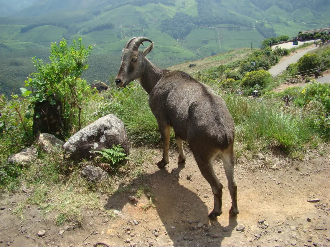
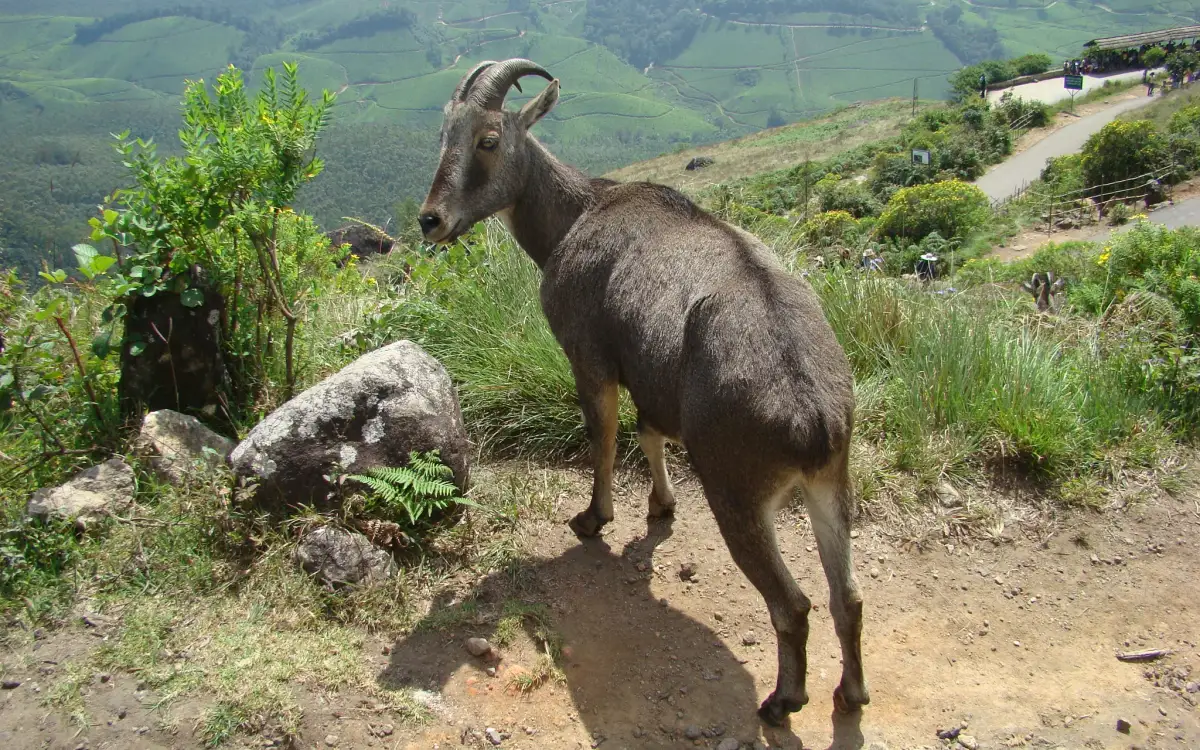
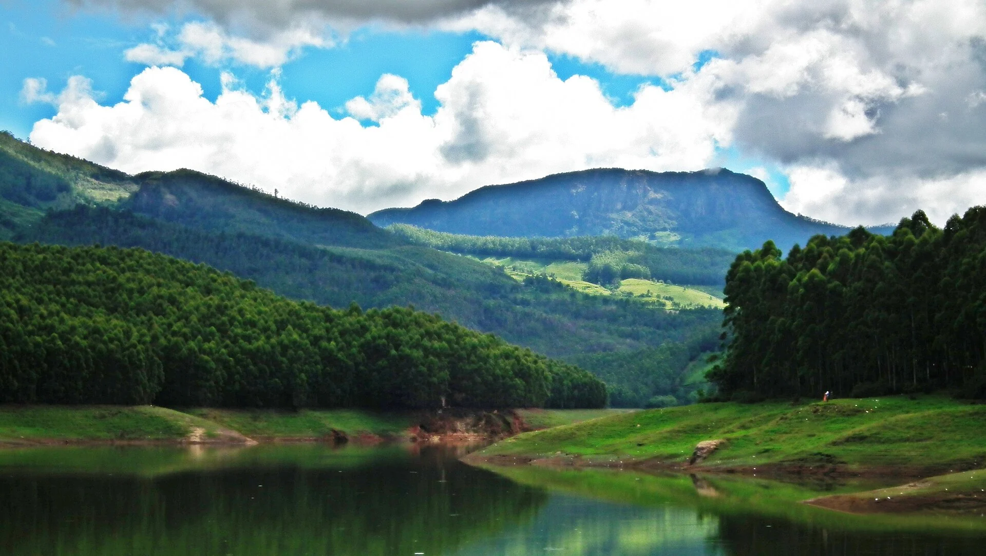
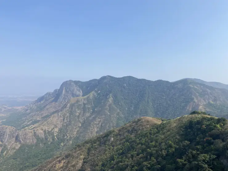
At Rajamala, a pale grass-covered slope can meet a dark pocket of shola forest within one view. The visitor route passes through this changing texture, with tahr sometimes appearing against the grass or the road edge. The landscape is the main subject; the wildlife becomes more meaningful when seen as part of it.
The story of Rajamala
The first distinction is between the visitor zone and the park around it. Eravikulam covers a high mountain landscape, while Rajamala is the area set aside for tourism and awareness. The admitted route allows a focused encounter with that habitat without making the whole protected area available for general wandering.
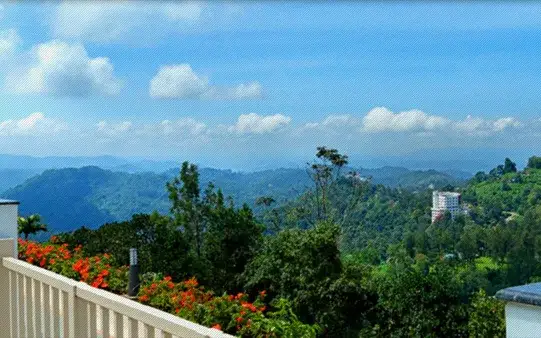
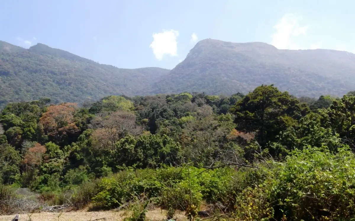
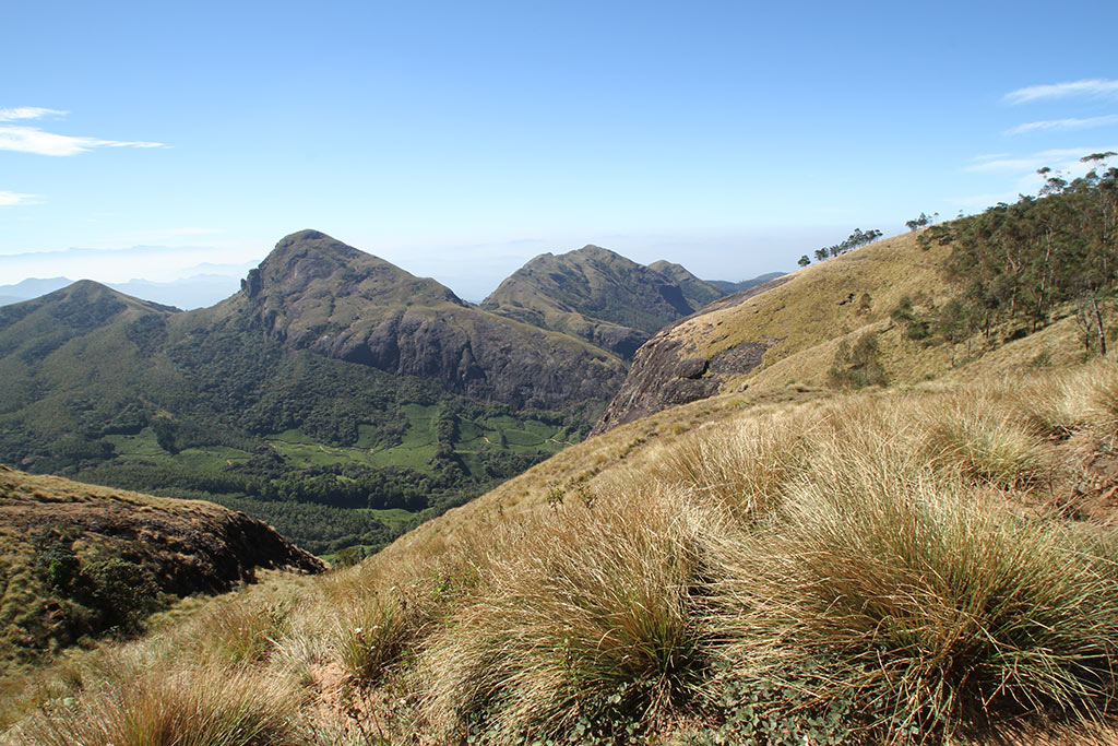
Grassland gives much of the open slope its appearance. It is interrupted by shola patches, the darker wooded areas that occupy sheltered parts of the terrain. The park brochure identifies both southern montane grassland and montane forest among its vegetation types. Seeing them together is more informative than describing the hills simply as green.
The Nilgiri tahr belongs to this mountain setting. A grazing animal can be conspicuous against a short grassy slope, while one farther away may appear only as a small shape among rocks and vegetation. The park’s own visitor guidance makes clear that sightings are based on chance. That uncertainty is part of wildlife observation, even at a place well known for tahr.
When an animal comes close to the designated route, the scene can look unusually informal. It remains a wild animal in a protected habitat. Giving it space preserves the difference between observation and interference. The useful detail is how the animal moves or feeds within the slope, not how close a visitor can stand beside it.
The bus journey and walking section provide different perspectives. Transport carries visitors from the lower arrival area towards the admitted zone, while the walk allows a slower reading of plants, slope and distant terrain. The upper checkpost visible in photographs is therefore not the same point at which a private vehicle begins the visit.
Interpretation adds subjects that a brief wildlife sighting may not explain. The park brochure describes an orchidarium, a Kurinji garden and an interpretation centre, alongside later educational facilities. Their purpose is to broaden attention beyond one animal photograph. Use the displays that are actually open to understand the habitat rather than assuming every listed facility operates continuously.
The park’s seasonal closure has a specific ecological reason: the tahr calving period. Closing the tourism zone during that time reduces visitor activity while the animals are giving birth and raising young. It is an example of the visitor calendar responding to the protected species rather than the species being managed around a holiday itinerary.
Neelakurinji adds another time scale to the landscape. The plant is associated with the park and with widely celebrated mass-flowering events. Those events are not the year-round appearance of Rajamala. A garden display, an individual flowering plant and a hillside-wide bloom should be described separately, with dates attached to historical photographs.
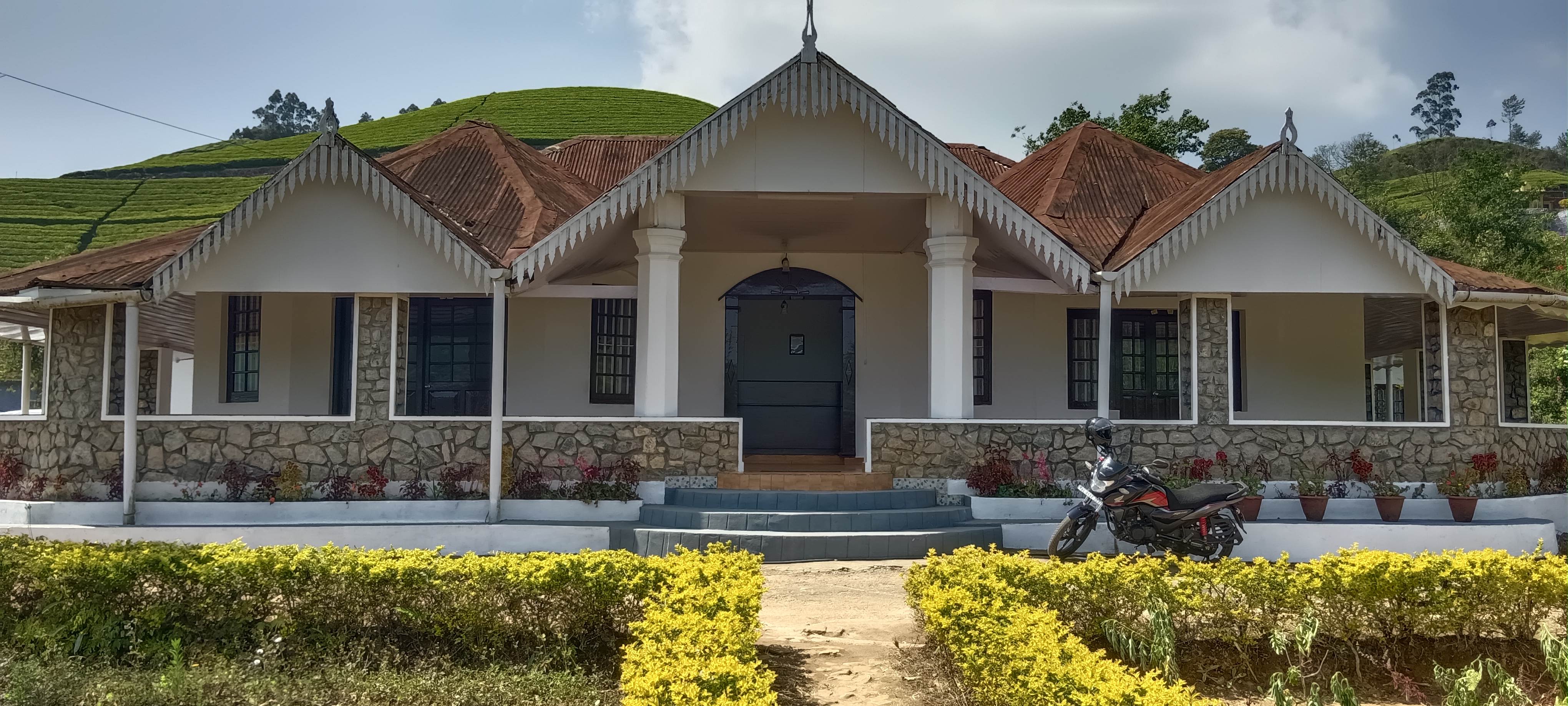
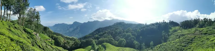
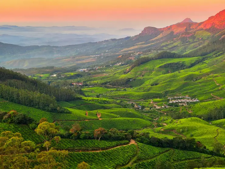
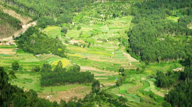
Munnar’s tea landscape appears in the wider setting, but plantation and national park are different land uses. The contrast can be visible from a permitted viewpoint. It helps explain the approach to Rajamala without turning a ticket into permission to enter neighbouring estates or walk across a boundary.
A successful visit can therefore be built around several observations: the grassland-shola contrast, the scale of the mountain slope, the movement of an animal if one appears, and the interpretation of the habitat. These remain specific to Rajamala even when cloud hides a distant ridge or the tahr stay beyond the visible route.