Chokramudi Peak trek

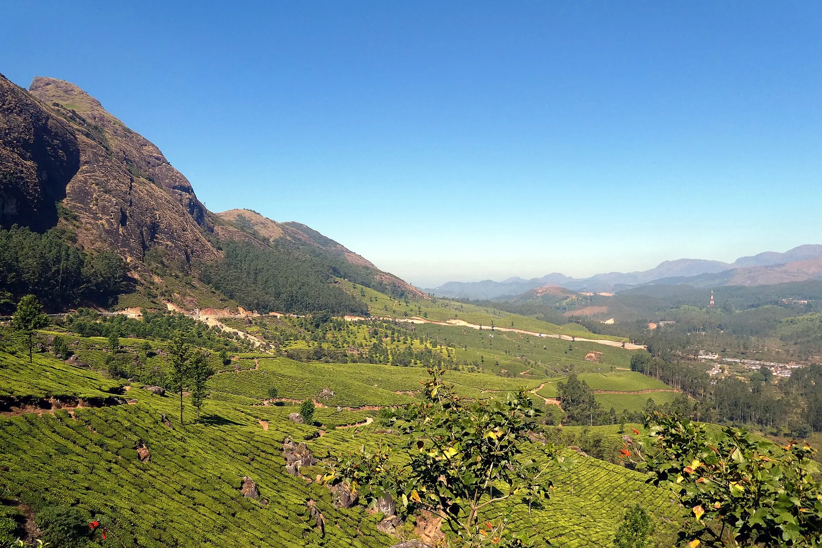
Chokramudi is a guided high-altitude trek through tea-fringed slopes, montane grassland and shola forest near Munnar. Kerala Tourism gives the peak an elevation of about 2,195 metres and classifies the walk as moderate.

Chokramudi Peak trek, Munnar
Practical guide

Plan Chokramudi Peak trek

Who's going?Tailor Chokramudi Peak trek to your trip
Typetrek
AreaMunnar
DistrictIdukki
Best timeOctober to March, the season recommended…
Time neededAllow three to four hours for the guided…
Places to visit27Listed businesses125

Plan it as a half-day mountain outing rather than a quick viewpoint stop. The guided trek takes about three to four hours, with road travel and reporting time additional.

The story

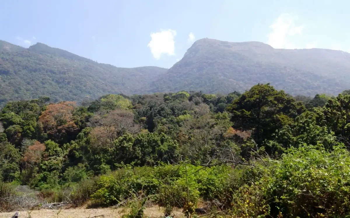
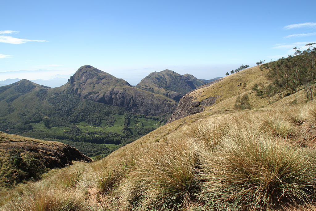
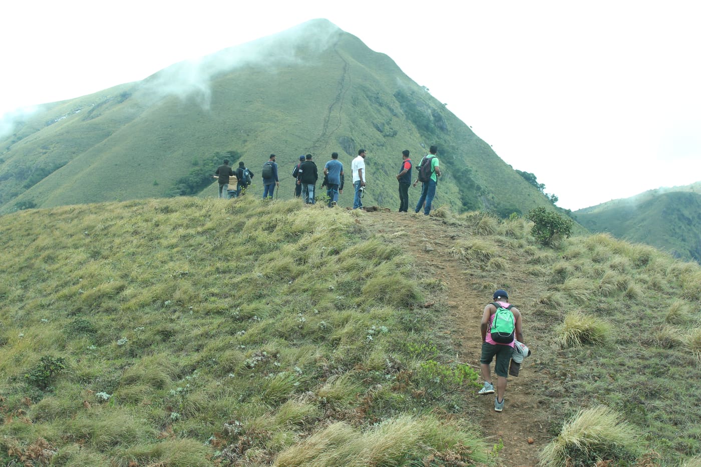
Chokramudi is a guided high-altitude trek near Munnar, climbing through tea-fringed slopes, montane grassland and shola forest to a summit of about 2,195 metres. Kerala Tourism classifies it as a moderate walk taking roughly three to four hours.

The story of Chokramudi Peak trek

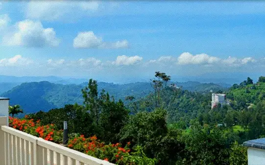
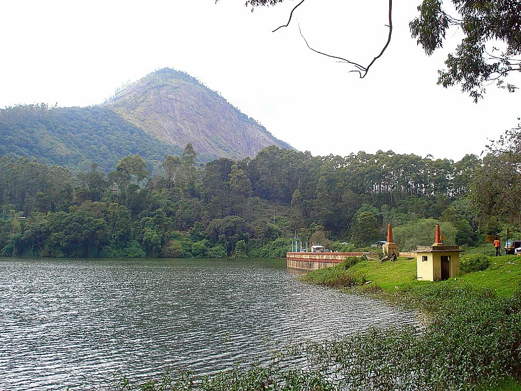
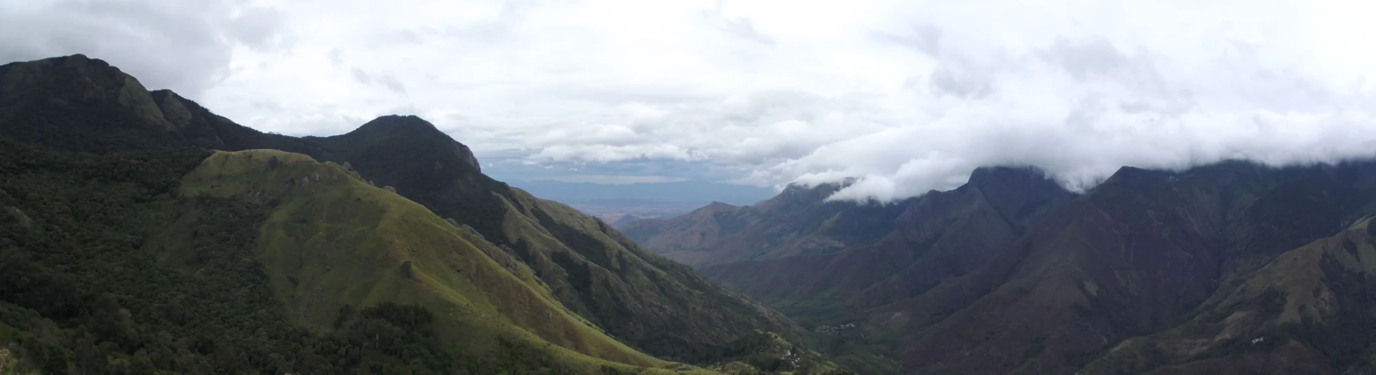
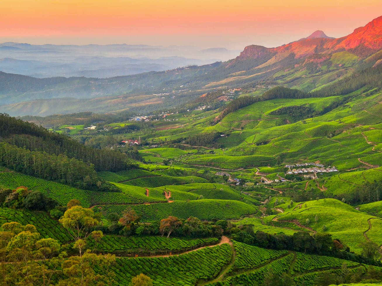
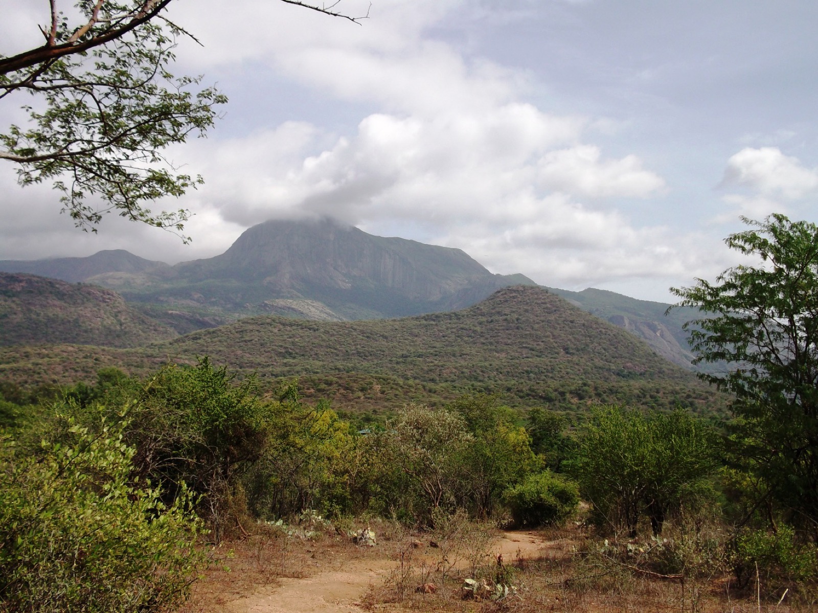
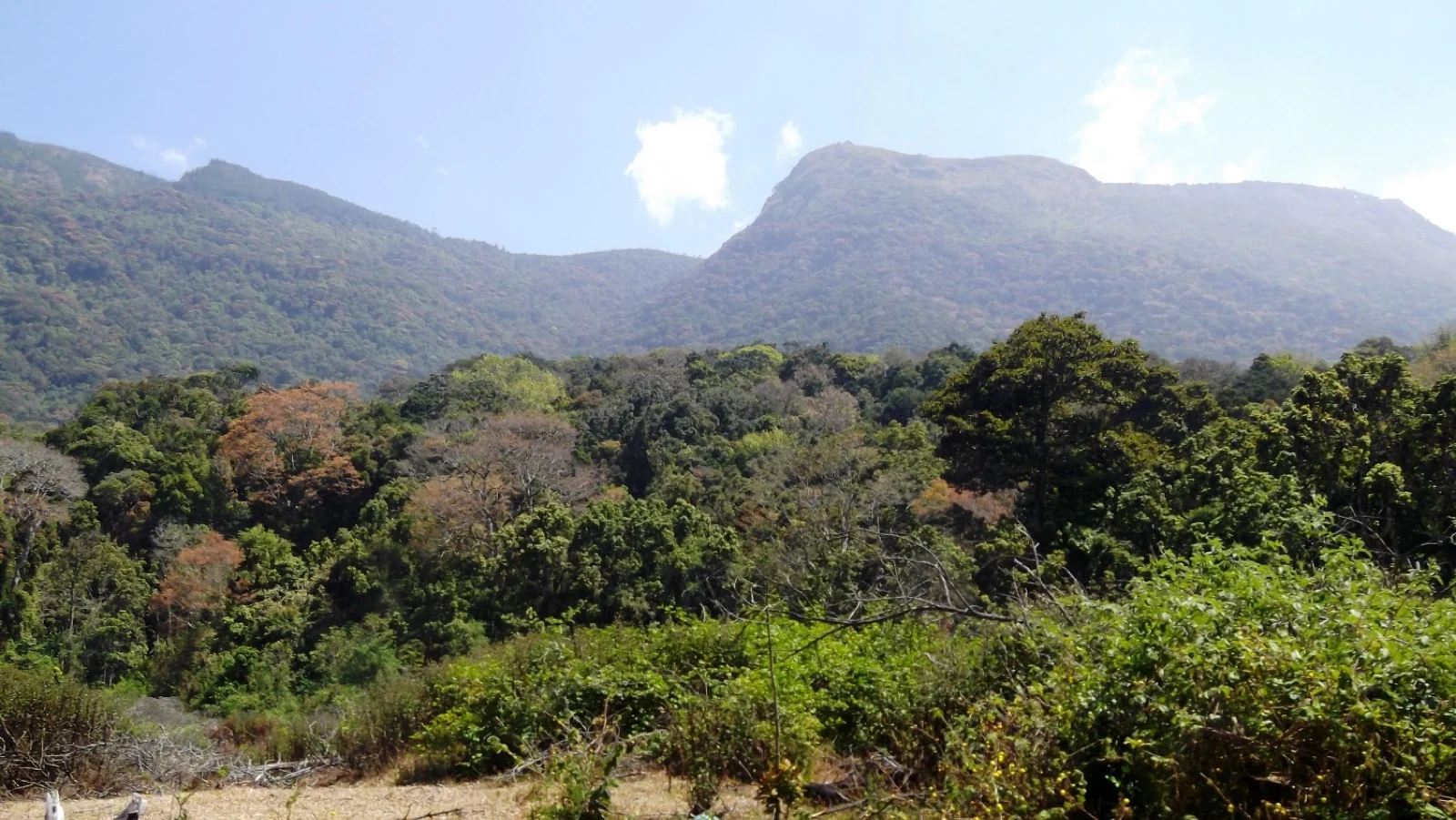
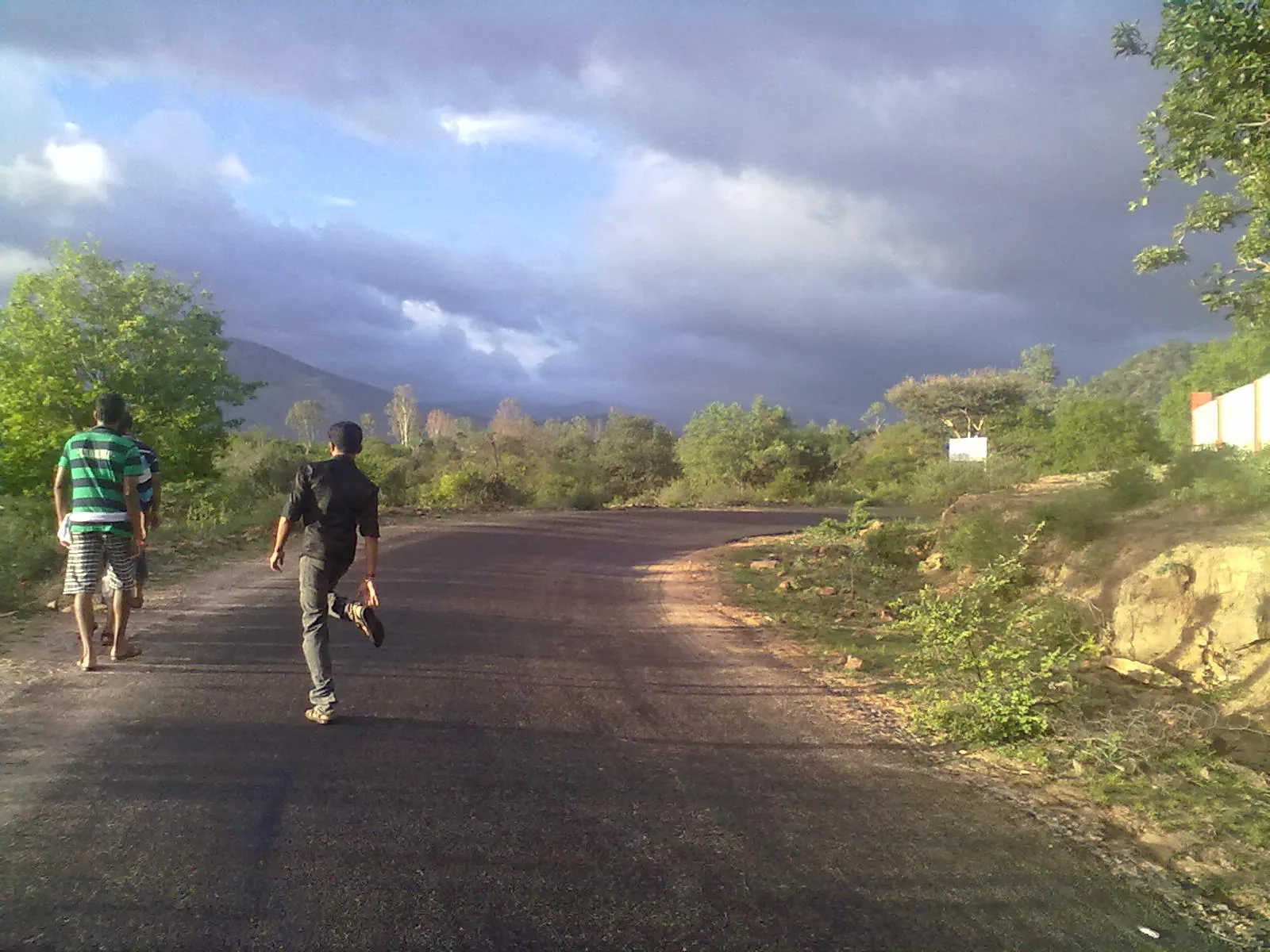
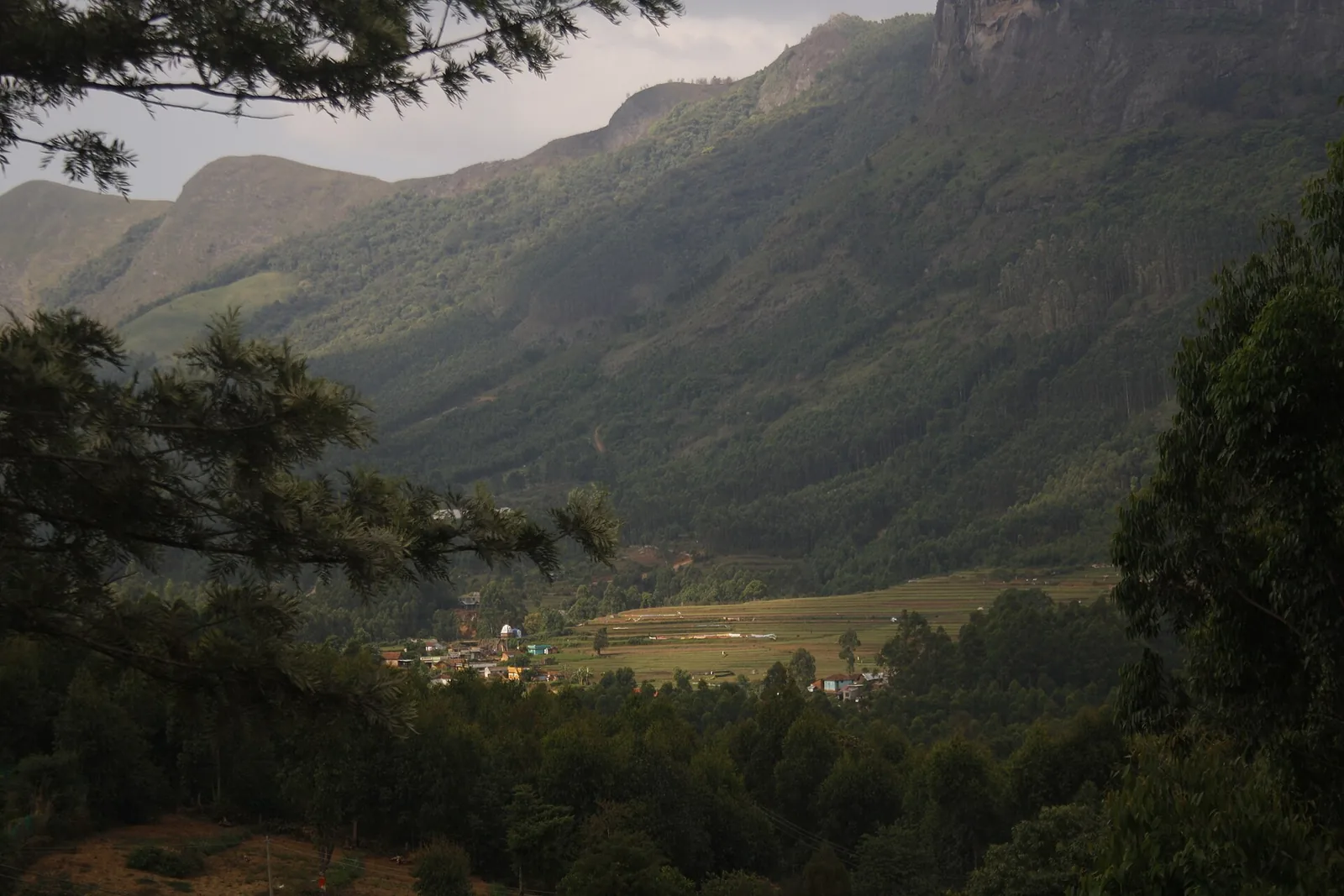
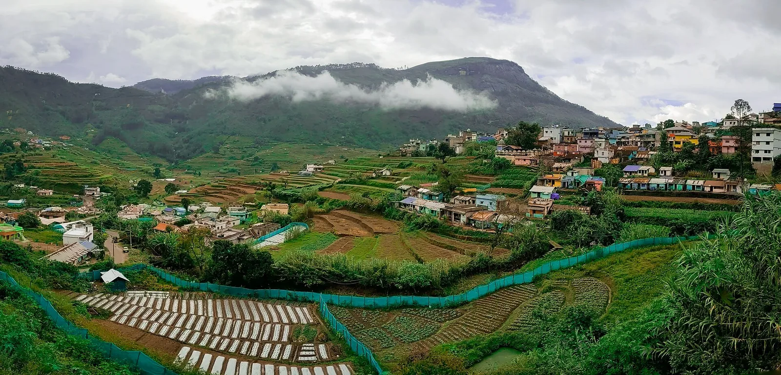
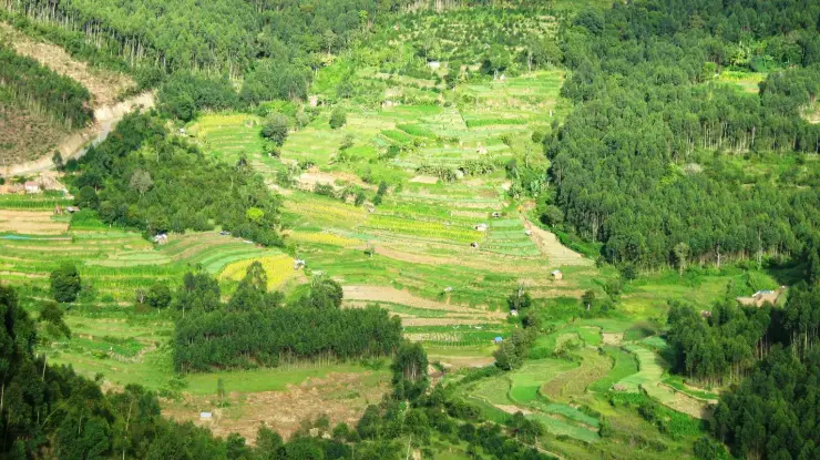
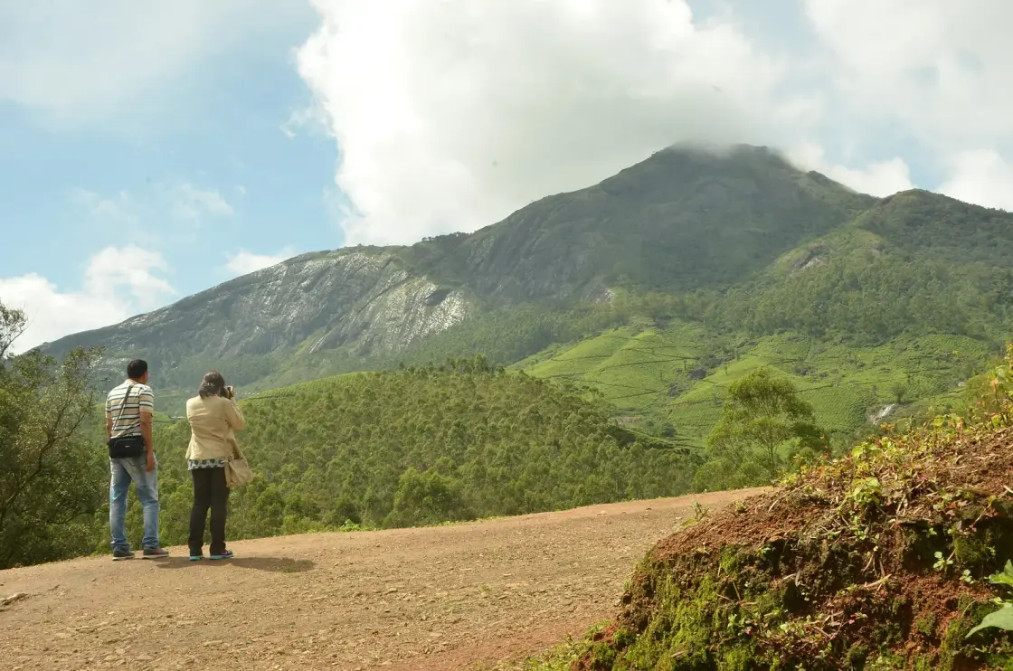
The appeal of Chokramudi is how quickly the landscape changes. The route leaves the Munnar–Bodimettu side of the high range, rises beyond the tea estates and enters open grassland broken by compact shola-forest pockets. On a clear day, the upper slopes reveal the surrounding valleys, plantations and layered Western Ghats ridges.

Kerala Tourism places the peak about 18 km from Munnar and recommends taking the trek with a local guide. The walk is moderate rather than technical, but sustained gradients, loose ground and fast-changing mountain weather demand suitable shoes, water and a realistic pace.

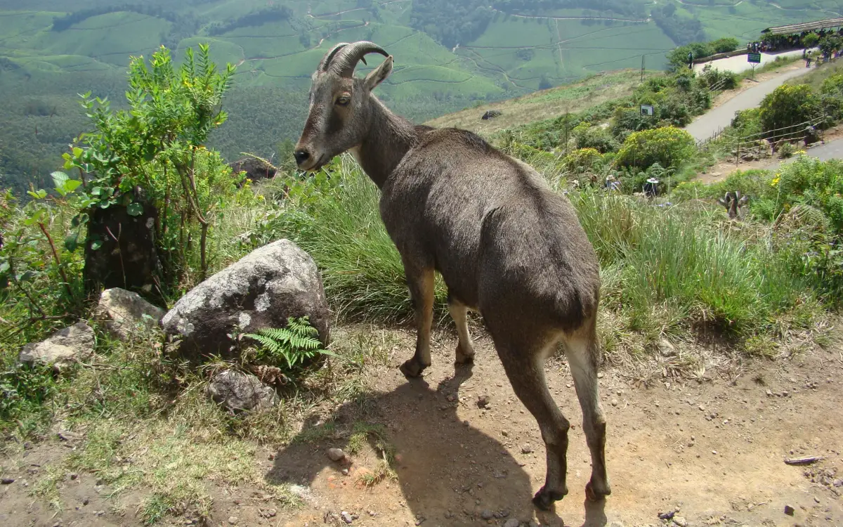
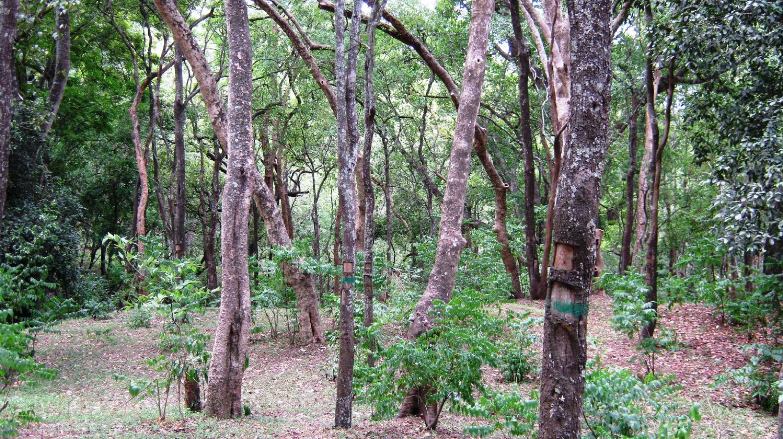
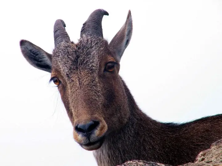
The grassland-shola mosaic is an important habitat, not simply an open viewpoint. Nilgiri tahr, gaur and other wildlife may use the slopes and forest margins. Sightings are never assured; walkers should stay with the guide, keep their distance from animals and avoid entering vegetation for photographs.

Cloud can close the view quickly even after a clear start. An early departure generally offers cooler climbing conditions and a better chance of open horizons, while heavy rain makes the grassy slope slippery and may lead to cancellation.

Chokramudi works best as a focused half-day from Munnar. Allow time for the approach, guide formalities, the three-to-four-hour trek and the return instead of combining it with several distant Munnar attractions.

Legend & myth

The final element of the name, mudi, is commonly used for a peak or crown in Malayalam place names. Spellings such as Chokramudi and Chokramudy occur in English, so use the full destination name when arranging transport.

Local stories associate a small stone shrine on the hill with older communities of the high range. Treat such accounts as living oral tradition and follow the guide’s instructions around any sacred place rather than expecting a formal visitor monument.

Read the full history of Chokramudi Peak trek 113 more words

History

Chokramudi belongs to the wider Munnar landscape shaped by montane grassland, shola forest and the tea estates established across the high range from the late nineteenth century. The trek lets visitors read all three layers within one compact climb.

Managed trekking protects both walkers and the hillside. The guide and operating authority determine the day’s route, group arrangements and weather response; old route descriptions or informal shortcuts should not replace those instructions.

Why visit

A moderate guided summit trek that fits into a half-day from Munnar.

Wide views across tea estates, valleys and Western Ghats ridges when cloud permits.

A close look at the high-range grassland-and-shola ecosystem.

A quieter mountain experience than Munnar’s roadside viewpoints.

What to expect

Highlights

  • A guided summit walk that can be completed in roughly three to four hours.
  • Open grassland, compact shola forests and views across the Munnar high range.
  • A chance to understand a sensitive montane ecosystem beyond the roadside viewpoints.
  • Cooler early starts and broad ridge views when the cloud lifts.
Getting there

How to visit

  • Book a local guide or authorised trekking arrangement before leaving Munnar and use the reporting point supplied with that booking.
  • Start early for cooler conditions and a better chance of clear views. Allow the guide’s weather assessment to decide whether the climb proceeds.
  • Wear sturdy shoes and carry drinking water, sun protection and a light rain layer. There are no dependable services once the trek begins.
  • Stay on the assigned trail, take all litter back and keep well away from wildlife.

Distance by road

  • Kochi107 km
  • Madurai172 km
  • Thiruvananthapuram226 km
  • Coimbatore252 km
  • Kozhikode276 km

Road km to Idukki; ghat roads and traffic vary — allow extra.

Timing

Best time

October to March, the season recommended by Kerala Tourism for cooler, generally drier trekking conditions. An early start is useful in any month because cloud and rain can develop quickly at altitude.

Weather in Chokramudi Peak trekSeasonal guide

Live forecast loads in your browser.

Today at Chokramudi Peak trek
Sunrise6:10 am
Sunset6:08 pm
Golden hour best light5:08 pm–6:08 pm
Blue hour after sunset6:08 pm–6:33 pm
Sun sets toward compass bearingW · 264°
Moon tonight🌘 Waning crescent · 10%
Retreating monsoon. October and November still see spells of rain from the retreating monsoon, though it is usually lighter than mid-year. Conditions are generally good but worth checking.

Sun and moon are calculated for this location and shown in IST. Photography windows are the hour around sunrise and sunset; the sunset bearing is degrees clockwise from true north. Moon phase is accurate to about half a day.

Visitor notes

  • Kerala Tourism places Chokramudi about 18 km from Munnar and gives an elevation of approximately 2,195 metres.
  • Treat the guide’s reporting instructions as the authoritative route for your booking; a summit marker is not a visitor entrance.
  • Fees, group sizes and departure arrangements can change. Obtain the full cost and inclusions from the operator before paying.
  • This is a sensitive grassland-and-shola habitat. Do not pick plants, fly a drone, leave the trail or approach animals.
Safety

Good to know

  • Grass, mud and rock become slippery after rain; the operator may cancel the trek when conditions are unsafe.
  • Cloud and visibility can change rapidly. Stay with the guide and turn back when instructed.
  • Keep a wide distance from gaur or other wildlife and never block an animal’s route.
  • Carry enough water for the full walk and do not rely on shops or toilets along the trail.
Official eco & forest programmes

Experiences around Chokramudi Peak trek

These are official or public-sector eco offerings that match this place, town or forest destination. Confirm availability, permits, tariffs and reporting times with the official operator before travel.

Meesapulimala, Chokramudi Peak trek
trekforest staycamping

Meesapulimala trek through Rhodo Valley

Hard high-altitude trek from the Munnar side via Rhodo Valley, run through KFDC eco-tourism with guide, food and stay options.

KFDC Ecotourism MunnarOvernight with next-day trek
Official source →
Meesapulimala Base Camp, Chokramudi Peak trek
campingforest staytrek

Munnar Base Camp tent stay

KFDC tent stay near Meesapulimala base camp, with campfire, food and optional trek towards Meesapulimala or Rhodo Valley.

KFDC Ecotourism MunnartentOvernight
Official source →
Meesapulimala Base Camp, Chokramudi Peak trek
forest staytrekviewpoint

Munnar Sky Cottage

Lonely cliff-side KFDC cottage facing a waterfall and Anamudi views, paired with Meesapulimala trekking.

KFDC Ecotourism Munnarforest cottageOvernight
Official source →
Rhodo Valley, Chokramudi Peak trek
forest staytrekviewpoint

Munnar Rhodo Mansion

KFDC Rhodo Valley night stay with elephant-trench protection, campfire, food and next-day Meesapulimala climb.

KFDC Ecotourism Munnarforest cottageOvernight
Official source →
Eravikulam National Park, Chokramudi Peak trek
wildlifeviewpoint

Eravikulam National Park visit

High-altitude grassland national park and Nilgiri tahr habitat near Munnar.

Kerala Forest Department
Official source →
Chinnar Wildlife Sanctuary, Chokramudi Peak trek
trekwildlifeforest stay

Chinnar Wildlife Sanctuary eco visit

Dry-forest wildlife sanctuary east of Munnar, listed in Kerala Tourism’s ecotourism inventory.

Kerala Forest Department
Official source →
Pambadum Shola National Park, Chokramudi Peak trek
trekwildlifeforest stay

Pambadum Shola National Park eco visit

Shola forest national park near the Munnar/Vattavada side, listed as an ecotourism destination and programme.

Kerala Forest Department
Official source →
Anamudi Shola, Chokramudi Peak trek
trekwildlife

Anamudi Shola eco visit

Shola-grassland forest landscape in Idukki, included in Kerala Tourism’s official ecotourism destination list.

Kerala Forest Department
Official source →
Marayoor, Chokramudi Peak trek
wildlifeinterpretationtrek

Marayoor sandalwood forest eco visit

Sandalwood and dry-forest landscape on the Munnar-Chinnar side, listed by Kerala Tourism as an ecotourism destination.

Kerala Forest Department
Official source →
Stay · eat · do · rent · see · shop

Stays, food & things to do near Chokramudi Peak trek

Verified hotels, homestays, restaurants, experiences, sights, shops and rentals around Chokramudi Peak trek — commission-free, with direct contact. Filter by what you need.

Eravikulam National Park Official Ticket Booking — Official park ticket booking in MunnarPhoto: Jiths
Top pick
Official park ticket booking · Munnar
Eravikulam National Park Official Ticket Booking
22.5 km · 34 min drive~₹510–600 by taxi

Official park ticket booking in Munnar. Eravikulam National Park, Munnar, Kerala 685612 · official booking, national park, Rajamala.

Directions Commission-freeView details
Munnar Wildlife Division Online Booking — Official forest booking office in MunnarPhoto: Jiths
Top pick
Official forest booking office · Munnar
Munnar Wildlife Division Online Booking
12.9 km · 15 min drive~₹200–240 by auto

Official Munnar Wildlife Division booking portal for forest stays, trekking and protected-area visitor services.

Directions Commission-freeView details
KDHP Tea Museum Munnar — Tea museum in MunnarPhoto: Ingo Mehling
Top pick
Tea museum · Munnar
KDHP Tea Museum Munnar
14.6 km · 17 min drive~₹220–260 by auto

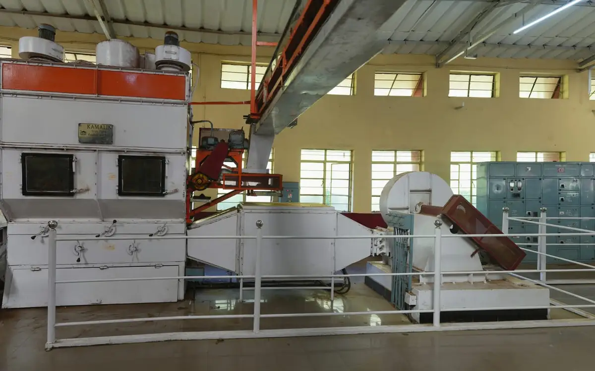
Official Kanan Devan Hills Plantations tea museum at Nullatanni Estate, a short drive from Munnar town.

Directions Commission-freeView details
Luxury resort · Munnar
Blanket Hotel & Spa Munnar
17.6 km · 25 min drive~₹420–500 by taxi

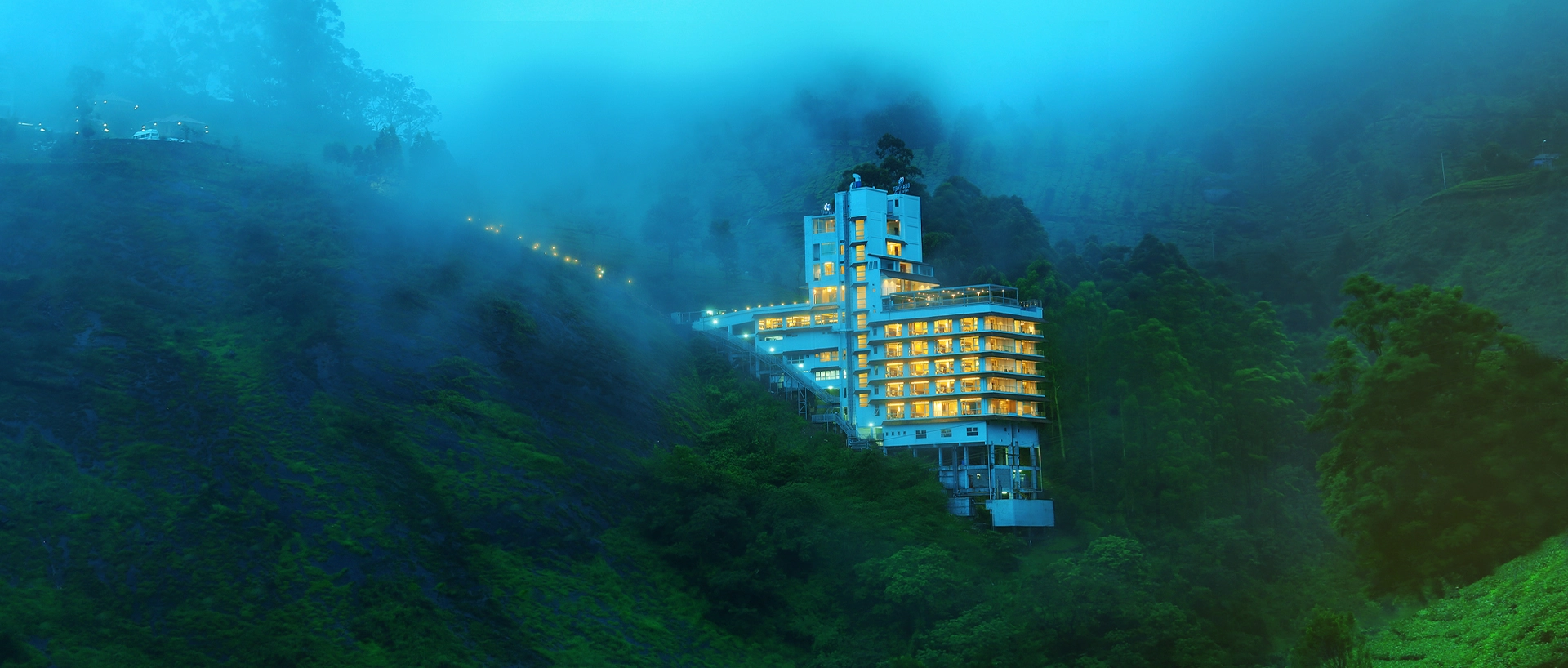
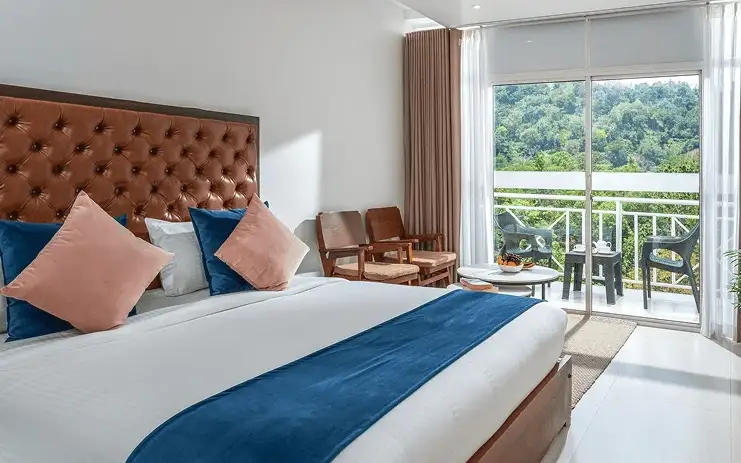
Blanket Hotel & Spa is in Pallivasal overlooking Attukad Waterfalls. Compare its room categories by the view and room arrangement you want; the property offers several different suites. Ask for the total rate, meal inclusions and the transfer from your actual Munnar arrival point.

Directions Commission-freeView details
Tea-estate bungalows · Munnar
KDHP Tea Sanctuary Bungalows

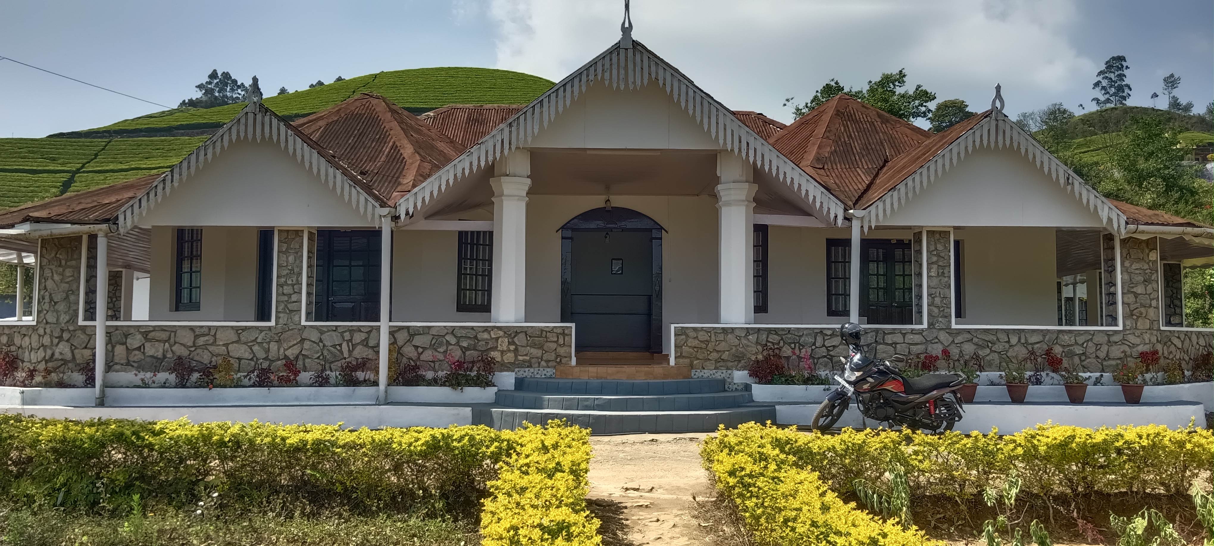
KDHP offers separate tea-estate bungalows around Munnar, including Kalaar, Lake View and Viriparai. Choose the named bungalow before comparing bedrooms and access. KDHP House is the reservations office; obtain arrival directions for the bungalow you book.

Commission-freeView details
Luxury resort · Munnar
Chandy's Windy Woods Munnar
20.8 km · 28 min drive~₹480–560 by taxi

Chandy’s Windy Woods is a resort on terraced hill slopes near Munnar. Its hillside setting is a different choice from a town hotel. Compare the room category and view, and check the road transfer before combining your stay with early sightseeing departures.

Directions Commission-freeView details
Luxury resort and spa · Munnar
The Fog Resort & Spa Munnar
20.5 km · 25 min drive~₹470–560 by taxi

Luxury resort and spa at Chithirapuram with villas, Ayurveda spa, restaurant and direct reservations.

Directions Commission-freeView details
Luxury hotel and spa · Munnar
Amber Dale Luxury Hotel & Spa Munnar
19.2 km · 24 min drive~₹450–530 by taxi

Amber Dale Luxury Hotel & Spa sits on KSEB Tunnel Road at Pallivasal, Munnar. It pairs a restaurant and Ayurveda spa with a conference hall and activities such as cycling, trekking and camp fires.

Directions Commission-freeView details
Luxury hotel and spa · Munnar
The Panoramic Getaway Munnar
20.1 km · 24 min drive~₹470–550 by taxi

The Panoramic Getaway is at Chithirapuram, with separate family and adults’ pool areas and room choices including family suites. Compare the room layout and pool access you need, then confirm meals and the current total booking price.

Directions Commission-freeView details
Official budget forest stay · Munnar
Pampadum Shola Forest Stays, Munnar Wildlife
46.4 km · 67 min drive~₹940–1090 by taxi

Official budget forest stay in Munnar. Pampadum Shola National Park, booked through Forest Information Centre, Wildlife Warden's Office, Munnar PO, Idukki District, Kerala 685612 · Budget official forest stay · Forest stay, Pampadum Shola, Official booking.

Directions Commission-freeView details
Official trekking booking · Munnar
Munnar Wildlife Trekking Official Booking
12.9 km · 15 min drive~₹200–240 by auto

Official Munnar Wildlife Division trekking information and booking contact. Forest Information Centre, Wildlife Warden's Office, Munnar PO, Idukki District, Kerala 685612 · trekking, official booking, forest.

Directions Commission-freeView details
Luxury boutique spa resort · Munnar
SpiceTree Munnar
9.7 km · 12 min drive~₹150–180 by auto

SpiceTree Munnar is on Muttukad–Periakanal Road at Nadukkurissu, in the Chinnakkanal area. Its pool villas, cottages with a Jacuzzi and honeymoon suites with a plunge pool are different room choices. Specify the category and inclusions when requesting a quote.

Directions Commission-freeView details
Mid-range town hotel · Munnar
Grand Plaza Munnar
13.7 km · 16 min drive~₹210–250 by auto

Eco boutique hotel with 39 rooms overlooking tea plantations. Set on M.S.A Road close to the heart of Munnar.

Directions Commission-freeView details
Resort · Munnar
Misty Mountain Resort Munnar
20.2 km · 24 min drive~₹470–550 by taxi

Misty Mountain Resort offers standard, valley-view and deluxe room categories near Munnar. Decide whether the view or room arrangement is your priority when comparing quotes. Ask the hotel which category is available for your dates and how meals and sightseeing transfers are charged.

Directions Commission-freeView details
Premium nature resort · Munnar
Rivulet Resort Munnar
18.4 km · 22 min drive~₹440–510 by taxi

Premium Chithirapuram-side nature resort with restaurant, activities and direct booking evidence. Rivulet Resort, Chithirapuram P O, Munnar, Kerala 685565 · Premium nature resort · Resort, Chithirapuram, Nature stay.

Directions Commission-freeView details
Premium tea-valley resort · Munnar
Tea Valley Resort Munnar
17.9 km · 23 min drive~₹430–500 by taxi

Tea Valley Resort is on Bisonvalley Road at Pothamedu, Pallivasal. Choose it for a stay among tea plantations rather than a town-centre address. Ask about the final road approach, room category and meal arrangements when comparing the full cost of a Munnar holiday.

Directions Commission-freeView details
Hotel restaurants · Munnar
Desi Aromas & Underground Restaurants, The Panoramic Getaway
20.1 km · 24 min driveIndian, Kerala, Mexican, Italian, Cafe, Multi-cuisine~₹470–550 by taxi

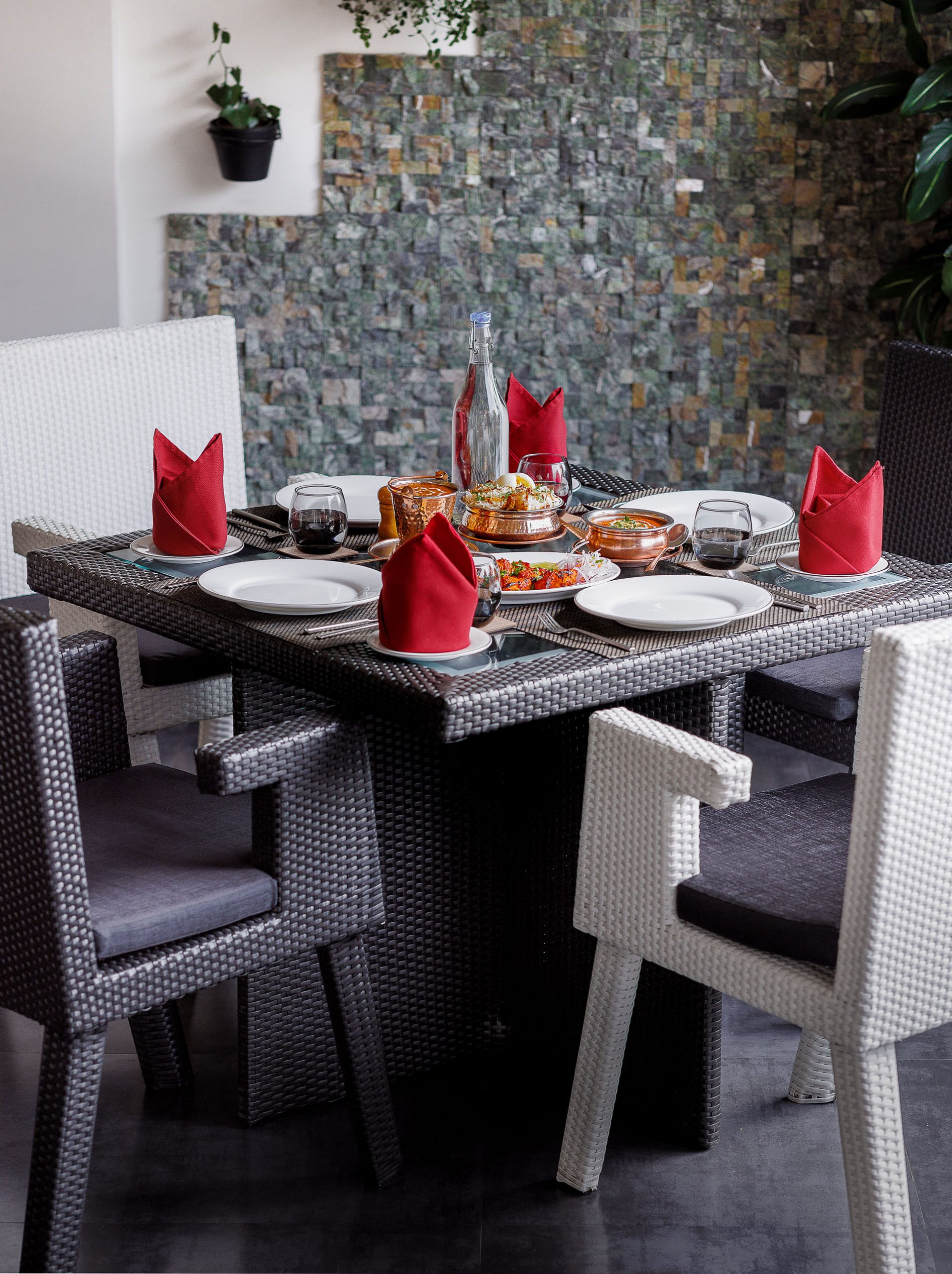
Two named restaurants at The Panoramic Getaway: Desi Aromas for Indian cuisine and Underground for grill specialties.

Directions Commission-freeView details
Adventure tour operator · Munnar
Kalypso Adventures Munnar Trekking

Adventure operator with Munnar trekking itineraries, cycling and walking holidays in Kerala. Trekking, adventure operator, Munnar trekking.

Directions Commission-freeView details
Ayurveda spa · Munnar
Blanket Ayurveda Spa Munnar
17.6 km · 25 min drive~₹420–500 by taxi

In-house Ayurveda and wellness center at Blanket Hotel & Spa near Attukad Waterfalls. Ayurveda, spa, wellness.

Directions Commission-freeView details
Ayurvedic spa · Munnar
Tattvam Ayurvedic Spa, The Panoramic Getaway
20.1 km · 24 min drive~₹470–550 by taxi

Ayurvedic spa in Munnar. The Panoramic Getaway, Chithirapuram, Munnar, Kerala 685565 · Short therapies from Rs. 1199; Ayurveda packages from Rs. 4750; taxes extra · spa, ayurveda, wellness.

Directions Commission-freeView details
Ayurveda spa · Munnar
Amber Dale Ayurveda & Spa
19.2 km · 24 min drive~₹450–530 by taxi

Ayurveda and spa facility at Amber Dale Luxury Hotel & Spa in Pallivasal. Ayurveda, spa, wellness.

Directions Commission-freeView details
Spa · Munnar
Bodhi Tree Spa at The Fog Munnar
20.5 km · 25 min drive~₹470–560 by taxi

Spa in Munnar. Spa, wellness, Chithirapuram.

Directions Commission-freeView details
Hotel restaurant · Munnar
Grand Spices Restaurant, Grand Plaza Munnar
13.7 km · 16 min drive~₹210–250 by auto

Multi-cuisine restaurant at Grand Plaza Munnar on M. S. A Road. Restaurant, multi-cuisine, hotel dining.

Directions Commission-freeView details
Restaurant · Munnar
Alaska Multi Cuisine Restaurant at The Fog Munnar
20.5 km · 25 min drive~₹470–560 by taxi

Restaurant in Munnar. Restaurant, multi-cuisine, Kerala food.

Directions Commission-freeView details

Book with the place itself. India’s cyber-crime coordination centre warned in April 2025 that convincing copies of hotel and pilgrimage booking sites are being pushed through sponsored search and social ads, taking payment for rooms the property never hears about. Every listing here links to the business’s own contact details and its own Google or Bing profile — we take no commission and sit in nobody’s payment path. If a booking page reached you through an ad, check the address bar against the property’s own site before you pay. Fraud can be reported on cybercrime.gov.in or on 1930.

Ranked guides

Top experiences around Munnar

32 more places around Munnar. Open a guide to plan the visit and onward journey.

hill stationMunnar

13.2 km · 15 min drive

Kerala’s most famous hill station, known for tea estates, viewpoints and cool weather.

wildlifeEravikulam National Park

High-altitude grassland park, Nilgiri tahr habitat and access point for Anamudi views.

viewpointAnamudi Peak

The highest peak in South India, viewed through Eravikulam/Rajamala access contexts near Munnar.

wildlifeRajamala

Rajamala is the designated tourism and awareness zone of Eravikulam National Park near Munnar. It is not a separate unrestricted summit trek or the whole national park.

museumTea Museum

17.1 km · 22 min drive

Tea-history museum in Munnar linked with the plantation story of the high ranges.

damMattupetty Dam

20.8 km · 29 min drive

Reservoir, boating and lake-view stop on the Munnar-Mattupetty sightseeing circuit, usually paired with Echo Point and Kundala.

viewpointEcho Point

26.7 km · 40 min drive

Popular Munnar lakeside viewpoint on the Mattupetty-Kundala route, useful for short stops, photos and family sightseeing.

damKundala Lake

High-range lake and dam stop beyond Mattupetty on the Top Station route.

viewpointTop Station

A border-highland viewpoint in Theni, Tamil Nadu, normally approached through Munnar, Mattupetty and Kundala; named for the former tea-transport terminus, with a separate stepped viewpoint walk.

trekMeesapulimala trek

Popular high-altitude Western Ghats trek, usually booked through official eco-tourism channels.

viewpointKolukkumalai

14.7 km · 19 min drive

High tea-estate sunrise viewpoint reached by jeep from the Munnar side.

wildlifeChinnar Wildlife Sanctuary

Dry-forest wildlife sanctuary on the Marayoor-Udumalpet side of Idukki.

heritageMarayoor

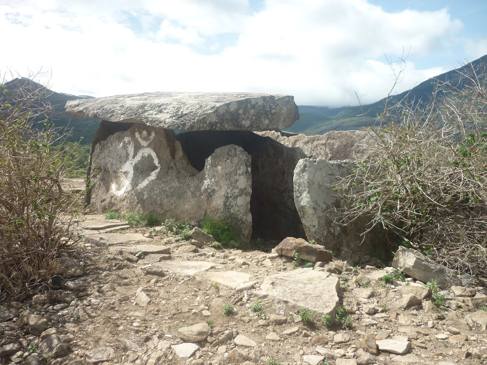
High-range village known for natural sandalwood forests, dolmens and sugarcane jaggery.

wildlifePambadum Shola National Park

Pampadum Shola National Park protects high-elevation forest beside the Top Station–Vattavada road. The Top Station forest check post is the reporting anchor here; forest stays and guided walks require their own confirmed arrangements.

wildlifeAnamudi Shola

Anamudi Shola National Park protects Mannavan, Pullaradi and Idivara shola forests in the Kanthalloor–Vattavada high ranges. Methappu is the visitor anchor on this page; this is not Anamudi Peak or the Rajamala visitor area.

waterfallLakkam Waterfalls

Waterfall stop on the Munnar-Marayoor route, usually paired with Eravikulam and Marayoor days.

waterfallAttukad Waterfalls

19.3 km · 23 min drive

Waterfall area near Munnar commonly used for short scenic drives and monsoon views.

viewpointLockhart Gap

80 m · 1 min walk

The pass itself on the Munnar–Bodimettu highway, where the ridge drops away east — and the lay-by the Chokramudi Peak trek reports from, 51 m from the forest counter. A second, busier viewpoint signed "Lockhart Gap Road View Point" sits 1.7 km east.

damAnayirankal Dam

14.1 km · 18 min drive

Anayirankal is a KSEB earth-and-rockfill dam and reservoir in the Panniyar hydel system near Chinnakanal and Santhanpara. The map identifies the published hydel visitor-centre marker; boating is not currently assured.

waterfallPower House Waterfalls

17.8 km · 20 min drive

The Muthirapuzha spread sideways over bare rock at 796 m, below the tailrace of Pallivasal — the first hydroelectric station Kerala built. Free, unmanaged and very quiet, down about a kilometre of steep narrow lane. ⚠ Not the Chinnakanal falls that Kerala Tourism describes under this name, 21 km east.

viewpointBlossom Hydel Park

14.9 km · 17 min drive

The Kerala State Electricity Board’s riverside flower park on the Munnar–Aluva road, 3.3 km below Munnar town and 1.2 km from the KSRTC stand at Old Munnar. It runs along the east bank of the Muthirapuzha immediately above the 1944 R. A. Headworks weir that feeds Pallivasal, Kerala’s first hydroelectric station — which is what the "hydel" in the name means. Open daily 09:15 to 20:15 with tickets sold online by Kerala Hydel Tourism Centre.

hill stationDevikulam / Sita Devi Lake

6.4 km · 8 min drive

Hill-station and lake landscape near Munnar associated with Devikulam and Sita Devi, best planned as a quieter high-range side trip.

waterfallNayamakad Waterfalls

Nyayamakad, also called Nayamakad, is the waterfall and tea-estate landscape on the Munnar–Rajamala approach. The map uses the identifiable Nyamakad roadside stream-view base, not a waterfall lip, pool entrance or estate walking permit.

trekKurinjimala Sanctuary trek

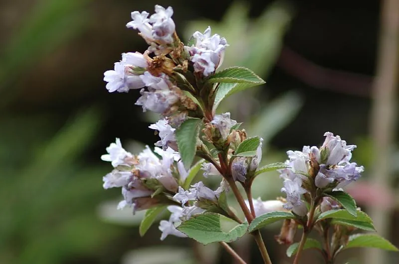
The 32 km² sanctuary above Kottakamboor and Vattavada, notified in 2006 for one plant — Strobilanthes kunthiana — with two walks and two stays in the Forest Department's own brochure and nothing bookable online.

trekThoovanam Falls trek

Forest Department guided walk in Chinnar Wildlife Sanctuary, from the Alampetty counter on SH17 down the river to the Thoovanam waterfall. Kerala Tourism contradicts itself on which river it follows: its own destination article says the Pambar, and the page selling this programme says the Chinnar.

trekChinnar Dolmen Culture trek

Forest Department culture trek in Chinnar Wildlife Sanctuary to prehistoric dolmen (muniyara) sites, run with local tribal Eco-Development Committees. Report at the Alampetty guide stand on the Marayoor–Udumalpet road (SH17), 6.4 km beyond Marayoor.

trekVasyappara Trekking and Camping

Forest Department trekking-and-camping programme at Vasyappara in Chinnar Wildlife Sanctuary — an overnight stay in a mud hut on a hill crest, published by the department as the Chinnar Valley Safari Trail. Report at 3 pm at the Chinnar check post on the Marayoor–Udumalpet road, not at the Alampetty counter 10.2 km back.

hill stationKanthalloor

High-range village near Marayoor often called the “Kashmir of Kerala”, known for terraced farms of apples, oranges, strawberries and vegetables at around 1,800 m.

hill stationVattavada

Cool high-altitude farming village beyond Munnar near the Tamil Nadu border, known for terraced vegetable and fruit cultivation, Kurinji slopes and quiet valley views.

viewpointPothamedu Viewpoint

16.3 km · 19 min drive

A road-accessible viewpoint in Pothamedu south of Munnar, looking across planted hills and wooded valleys. The viewpoint marker is separate from the wider village and from private plantation walking routes.

wildlifeMathikettan Shola National Park

Mathikettan Shola protects a remnant of native Cardamom Hills forest in Idukki. Visits are arranged through the Forest Department, with distinct Pethotty and Choondal approaches; a reservoir viewpoint is not a park-entry permit.

viewpointChathurangapara Viewpoint

A wind-turbine ridge in Chathurangappara, Udumbanchola taluk, with views towards Theni’s cultivated plains; reached from the Munnar–Kumily road, with an exposed final hill approach.

Roampedia is commission-free — own or know a stay, eatery, guide or shop near Chokramudi Peak trek? List it and it appears here once verified.

Add a nearby business
Trek facts

Chokramudi Peak trek — at a glance

DifficultyModerate
DurationThree to four hours for the guided trek
OperatorGuided local trekking arrangement; confirm the responsible operator when booking.
TimingsTrek departures depend on the guide or authorised operator, weather and forest conditions. Obtain a reporting time with the booking instead of treating the hill as an all-hours attraction.
Best timeOctober to March, as recommended by Kerala Tourism. Start early for cooler conditions and clearer views, while accepting that mountain weather can cancel a walk in any season.

Entry: Ask the authorised operator for the current per-person price, guide charge, taxes and cancellation terms before paying. Do not transfer a fee from a separate flower garden or Munnar trekking programme.

Photography: Carry only equipment you can manage safely on a sustained climb. Ask the guide about photography near wildlife or sacred places, and do not fly a drone without explicit legal permission.

Permit: Use the access and registration process supplied by the guide or operating authority. Do not enter by an informal trail or continue beyond a closed gate.

Booking: Arrange a local guide or authorised trekking operator before leaving Munnar and keep the contact number and reporting location with you.

Parking: Use the pickup or parking point specified by the operator. Do not leave a vehicle on a blind bend, block estate access or assume roadside space will be available.

Wildlife: The grassland and shola margins support wildlife including gaur and Nilgiri tahr, though a trek may pass without seeing either. Remain with the guide, keep quiet and never approach or follow an animal.

Getting here

How to reach Chokramudi Peak trek

  • ✈︎ By air Cochin International Airport is the principal air gateway for Munnar. Continue by road and stay in Munnar before an early trek.
  • 🚆︎ By train Aluva and Ernakulam are practical rail gateways, followed by a road transfer to Munnar. There is no railway station in Idukki district.
  • 🚗︎ By road Travel from Munnar towards the reporting point provided by the guide. Mountain-road time varies with weather, traffic and temporary controls, so leave a generous buffer.
  • 🚌︎ By bus Public buses serve the Munnar–Devikulam corridor, but a trek booking may use a different pickup or reporting point. Match the service to the operator’s instructions and plan the return before starting.
Getting back

If you are travelling by bus or ferry, check the return service with the operator before setting out. Leave time to reach the stop or jetty after your visit.

Ask at the bus stand for the time of the last service back, not the next one. If you miss it, an auto or app cab is the fallback — agree the fare before you get in.

Do

Things to do

  • Complete the guided climb at a steady pace rather than racing for the summit.
  • Observe the transition from tea-growing slopes to montane grassland and shola forest.
  • Pause at safe viewpoints when the guide permits and watch cloud move across the high range.
  • Look for wildlife from a respectful distance without leaving the trail.
Prepare

What to carry

  • Book the guide and obtain the exact meeting point before leaving Munnar.
  • Wear hiking shoes with good grip and carry water, sun protection and a rain layer.
  • Start early and keep the rest of the day flexible in case cloud or rain slows the group.
  • Follow the assigned trail and turn back immediately when the guide instructs.
  • Do not combine the trek with a tightly timed afternoon journey.
Facilities

On site

  • Visitor services depend on the chosen operator and reporting point
  • No dependable toilets, food or drinking water should be assumed on the trail
  • Carry all required water and return every item of litter to Munnar
  • Mobile coverage may weaken on the slopes; keep the group together
Stay safe

Safety

  • Wet grass, mud and loose rock can become slippery after rain.
  • Cloud can reduce visibility quickly; stay with the guide and group.
  • Keep a wide distance from gaur and other wildlife and never block an animal’s route.
  • Carry sufficient water and essential medication for the full outing.
Getting around Chokramudi Peak trekNot wheelchair accessible
Terrain
Steep
From the entrance
You stop in the lay-by at the top of the Gap Road saddle, on the shoulder of NH85 — level tarmac, a bus stop and a small forest office, with no gate, no forecourt and no laid path. The route leaves the road at a permit gate 29 m in and then climbs tussock grass continuously for 2.09 km to the summit, gaining about 460 m. Nothing on it is made, graded, surfaced or stepped, there is no seating anywhere between the road and the top, and OpenStreetMap tags the path as hiking-grade with intermediate visibility.
Step-free access
The trek cannot be done in a wheelchair and there is no version of it that can. There is no made surface above the road, no accessible toilet at the counter or anywhere on the hill, and the gradient is sustained at roughly one in five on grass. What IS available to a wheelchair user is the reason most people stop here at all: the lay-by is level tarmac at the pass itself, and the view east off the ridge — the whole high range dropping away towards the plains — is from the roadside. Roampedia lists that view separately as Lockhart Gap, 51 m from this counter.
Prams
Not possible above the lay-by. The roadside itself is flat and fine with a pram, and the view from it is the same view; the path is grass at a sustained twenty-two per cent and there is nothing on it a wheeled thing can be pushed along.
  • Cloud is the real hazard, not the ground. This is an open grass dome above 2,180 m and the visibility can close from the whole high range to twenty metres in minutes; the path is followable rather than obvious, which matters far more in mist than in sun.
  • Wet grass at one in five is a slide. The Forest Department does not permit trekking here in heavy rain, and that is a rule about the slope, not about comfort — treat June to August as closed.
  • There is no water, no shelter and no toilet between the highway and the summit. Everything goes up with you, and two litres a head is the floor.
  • There are elephants in the shola and estate edges below and gaur on the open slopes. Sign in at the counter, stay on the path, and do not go up outside its published 05:30 to 15:00.
  • Mobile signal is usable at the gap and unreliable on the western slope and the summit. Tell the counter and tell your hotel where you have gone.
  • The lay-by is on a national highway at a blind crest, with buses and lorries coming over the saddle. It is a pull-off, not a car park — get children out on the hill side.
  • Do not take the second entrance 134 m west of the counter. The person who mapped it recorded it as an illegal way onto the mountain; the permitted gate is the one at the office.

Checked 24 August 2026 against source 1source 2source 3source 4. Conditions change and surfaces vary with weather — if step-free access is essential, confirm with the site before you travel.

Practical things near Chokramudi Peak trek

These services are listed within about 1.2 km of Chokramudi Peak trek. Walking distances follow mapped routes; access and opening hours can change. Other services may be closer but are not included here.

If you need help at Chokramudi Peak trek
112All emergencies (police · fire · medical)The single number to call in any emergency (ERSS).

Emergency numbers are verified against official government and state tourism sources. 112 works anywhere in India.

Nearby

What’s near Chokramudi Peak trek

viewpointLockhart Gap

The pass itself on the Munnar–Bodimettu highway, where the ridge drops away east — and the lay-by the Chokramudi Peak trek reports from, 51 m from the forest counter. A second, busier viewpoint signed "Lockhart Gap Road View Point" sits 1.7 km east.

80 m · 1 min walk
hill stationDevikulam / Sita Devi Lake

Hill-station and lake landscape near Munnar associated with Devikulam and Sita Devi, best planned as a quieter high-range side trip.

6.4 km · 8 min drive
hill stationMunnar

Kerala’s most famous hill station, known for tea estates, viewpoints and cool weather.

13.2 km · 15 min drive
damAnayirankal Dam

Anayirankal is a KSEB earth-and-rockfill dam and reservoir in the Panniyar hydel system near Chinnakanal and Santhanpara. The map identifies the published hydel visitor-centre marker; boating is not currently assured.

14.1 km · 18 min drive
viewpointKolukkumalai

High tea-estate sunrise viewpoint reached by jeep from the Munnar side.

14.7 km · 19 min drive
viewpointBlossom Hydel Park

The Kerala State Electricity Board’s riverside flower park on the Munnar–Aluva road, 3.3 km below Munnar town and 1.2 km from the KSRTC stand at Old Munnar. It runs along the east bank of the Muthirapuzha immediately above the 1944 R. A. Headworks weir that feeds Pallivasal, Kerala’s first hydroelectric station — which is what the "hydel" in the name means. Open daily 09:15 to 20:15 with tickets sold online by Kerala Hydel Tourism Centre.

14.9 km · 17 min drive
viewpointPothamedu Viewpoint

A road-accessible viewpoint in Pothamedu south of Munnar, looking across planted hills and wooded valleys. The viewpoint marker is separate from the wider village and from private plantation walking routes.

16.3 km · 19 min drive
museumTea Museum

Tea-history museum in Munnar linked with the plantation story of the high ranges.

17.1 km · 22 min drive
waterfallPower House Waterfalls

The Muthirapuzha spread sideways over bare rock at 796 m, below the tailrace of Pallivasal — the first hydroelectric station Kerala built. Free, unmanaged and very quiet, down about a kilometre of steep narrow lane. ⚠ Not the Chinnakanal falls that Kerala Tourism describes under this name, 21 km east.

17.8 km · 20 min drive
waterfallAttukad Waterfalls

Waterfall area near Munnar commonly used for short scenic drives and monsoon views.

19.3 km · 23 min drive
damMattupetty Dam

Reservoir, boating and lake-view stop on the Munnar-Mattupetty sightseeing circuit, usually paired with Echo Point and Kundala.

20.8 km · 29 min drive
viewpointEcho Point

Popular Munnar lakeside viewpoint on the Mattupetty-Kundala route, useful for short stops, photos and family sightseeing.

26.7 km · 40 min drive

All 27 places to visit in Munnar →

Walking and driving times are real routed distances, except the few marked “straight line”, which are direct-line estimates and will read short. Fare figures are estimates from Kerala’s notified auto/taxi tariff and exclude waiting and night charges. Routing: © openrouteservice.org by HeiGIT | Map data © OpenStreetMap contributors

Nearby toilets, pharmacies, ATMs, seating and vets are community-mapped and may be incomplete or out of date. Map data © OpenStreetMap contributors | Walking times © openrouteservice.org by HeiGIT

On the map

Where Chokramudi Peak trek is

Good to know

Chokramudi Peak trek — frequently asked

How far is Chokramudi from Munnar?

Kerala Tourism places Chokramudi about 18 km from Munnar. Arrange the precise reporting point and pickup with the guide or operator before departure.

How high is Chokramudi Peak?

Kerala Tourism gives an elevation of about 2,195 metres above sea level.

How long does the Chokramudi trek take?

Allow roughly three to four hours for the guided trek, plus road travel and reporting time from Munnar.

Is Chokramudi suitable for beginners?

It is described as moderate, but beginners still need reasonable fitness, shoes with good grip and a guide. Rain, wind or cloud can make the same route more demanding.

Do I need a guide for Chokramudi?

Yes. Kerala Tourism recommends a local guide, and visitors should use the route and access arrangements provided for their date.

When is the best time for the trek?

Kerala Tourism recommends October to March, when conditions are generally cooler and drier. The operator’s weather decision takes priority on the day.

What should I carry?

Wear sturdy walking shoes and carry drinking water, sun protection and a light rain layer. Keep baggage compact and take all litter back with you.

Are wildlife sightings guaranteed?

No. The hill is wildlife habitat, but sightings depend on season, weather and chance. Never approach or follow an animal.

When is the best time to visit Chokramudi Peak trek?

October to March, the season recommended by Kerala Tourism for cooler, generally drier trekking conditions. An early start is useful in any month because cloud and rain can develop quickly at altitude.

What are the entry fee and timings at Chokramudi Peak trek?

Entry: Ask the authorised operator for the current per-person price, guide charge, taxes and cancellation terms before paying. Do not transfer a fee from a separate flower garden or Munnar trekking programme. Timings: Trek departures depend on the guide or authorised operator, weather and forest conditions. Obtain a reporting time with the booking instead of treating the hill as an all-hours attraction.

How do I reach Chokramudi Peak trek?

Book a local guide or authorised trekking arrangement before leaving Munnar and use the reporting point supplied with that booking. Start early for cooler conditions and a better chance of clear views. Allow the guide’s weather assessment to decide whether the climb proceeds. Wear sturdy shoes and carry drinking water, sun protection and a light rain layer. There are no dependable services once the trek begins. Stay on the assigned trail, take all litter back and keep well away from wildlife.

How much time do I need for Chokramudi Peak trek?

Allow three to four hours for the guided trek, plus the road journey and reporting time from Munnar.

What else is near Chokramudi Peak trek?

Nearby you can pair Lockhart Gap (80 m), Devikulam / Sita Devi Lake (6.4 km), Munnar (13.2 km), Anayirankal Dam (14.1 km).

What should I know before visiting Chokramudi Peak trek?

Grass, mud and rock become slippery after rain; the operator may cancel the trek when conditions are unsafe. Cloud and visibility can change rapidly. Stay with the guide and turn back when instructed. Keep a wide distance from gaur or other wildlife and never block an animal’s route. Carry enough water for the full walk and do not rely on shops or toilets along the trail.

Read before you go

Chokramudi Peak trek guides, stories & itineraries

Stories & history of Chokramudi Peak trek

Written about Chokramudi Peak trek itself — its history, its legends and the arguments about them.

Around Munnar

These guides explore Munnar and the surrounding area. Choose a visit that fits your interests, allowing separately for travel between stops.

In-depth guides to Munnar

Written about Munnar as a whole rather than about Chokramudi Peak trek — its history, its streets, and how to spend a day in it.

Kerala-wide guides & itineraries

Route-level itineraries and practical guides for the rest of Kerala.

See all 153 Idukki guides & stories →

Image credits

Photographs: Gnan.prabhakar (CC BY-SA 4.0), Daniel Romanson (CC0), Kondephy (CC BY-SA 4.0), Vinayaraj (CC BY-SA 4.0), NjaanAnoop (CC BY-SA 4.0), Jaseem Hamza (CC BY 3.0), Sasikumar p (CC BY-SA 4.0), Prem Kumar Gnani Gopalakrishnan (CC BY-SA 4.0), Ingo Mehling (CC BY-SA 4.0), Anish live (CC BY-SA 3.0), Niyas8001 (CC BY-SA 4.0), Athulvis (CC BY-SA 4.0), Jan J George (CC BY-SA 4.0), Sarathgks92 (CC BY-SA 4.0), Jiths (CC BY 2.0), Fotokannan (CC BY-SA 3.0). Wikimedia Commons.