What to expect
Highlights
- Cool-weather viewpoints around Kanthalloor
- Tea, spice, forest or meadow landscapes where available
- Good base for drivers, guides and short hikes
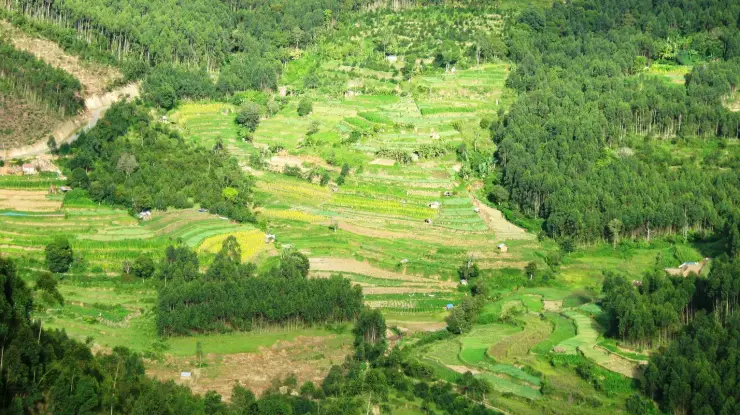
High-range village near Marayoor often called the “Kashmir of Kerala”, known for terraced farms of apples, oranges, strawberries and vegetables at around 1,800 m.
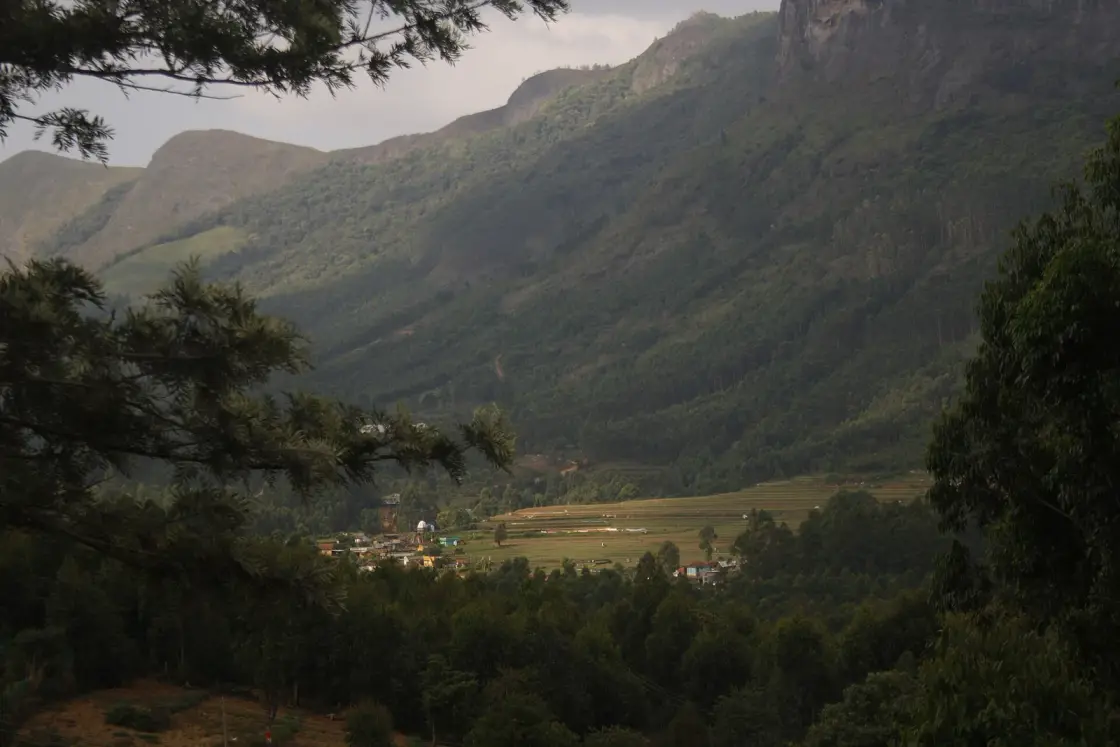
Perched a mile above the sea on the rain-shadow edge of the Western Ghats, Kanthalloor is the one corner of Kerala where apples ripen, frost silvers the cabbages at dawn, and the air is cool enough that locals call it the “Kashmir of Kerala”.
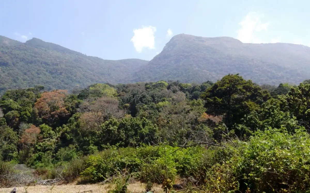
Kanthalloor is a high-altitude farming village in the Devikulam taluk of Idukki district, cradled at roughly 1,525 metres (about 5,000 feet) on the eastern, Tamil-Nadu-facing flank of the Western Ghats. Because the great wall of the ghats wrings most of the moisture out of the monsoon before it reaches here, the village sits in a “virtual rain shadow” — dry, sunlit and startlingly cool — a micro-climate that behaves nothing like the wet, palm-fringed Kerala most visitors picture.
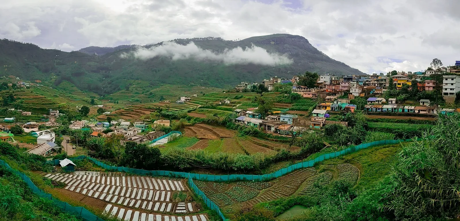
That quirk of geography is the whole story of the place. The thin mountain air and cold nights make Kanthalloor the only village in South India where apples are grown commercially, and the orchards do not stop at apples: oranges, strawberries, blackberries, plums, peaches, gooseberries, passion fruit and even quinces crowd the terraced slopes. Between the fruit trees run neat market-garden beds of cauliflower, cabbage, carrot, beans, potato and garlic — a temperate produce basket found nowhere else in the state, which is why Kanthalloor is fondly nicknamed the fruit bowl of Kerala.
Roughly fifty families tend apple across about a hundred acres, and the rhythm of the year turns on the harvest. From mid-July to the end of August the boughs bend under ripening fruit and day-trippers pour in from Munnar and Tamil Nadu to pluck apples and strawberries straight off the plant. For much of the rest of the year the village keeps a slower, older tempo — one grocer, Ponnamma, has famously traded rice and essentials for farm produce by the barter system since 1962, a living echo of an economy the outside world left behind decades ago.
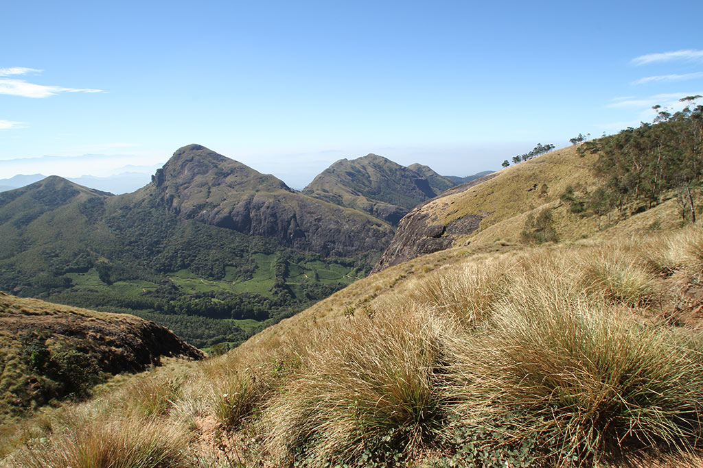
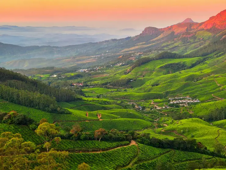
The landscape around the village is layered and dramatic: sugarcane and vegetable terraces give way to Kulachivayal rock outcrops, the Pattisseri (Pambar) dam glints in the valley, and the Erachilpara waterfall — usually just called Kanthalloor Waterfalls — tumbles a short drive out of town. From the Kanthalloor View Point the terraced fields fall away into a patchwork valley that photographs beautifully in the clear morning light.
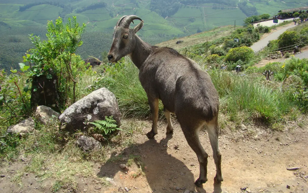
Kanthalloor is also ringed by protected wilderness. It nudges the Anaimudi Shola National Park, and a short drive north lie the dry deciduous forests of the Chinnar Wildlife Sanctuary, the thundering Thoovanam Falls on the Pambar, and the sandalwood reserves and megalithic dolmens of neighbouring Marayoor. This braid of orchards, wildlife and prehistory earned the Kanthalloor Grama Panchayat the national Gold award for the best tourism village in India in 2023, dragging a long-overlooked hamlet firmly onto the traveller map.
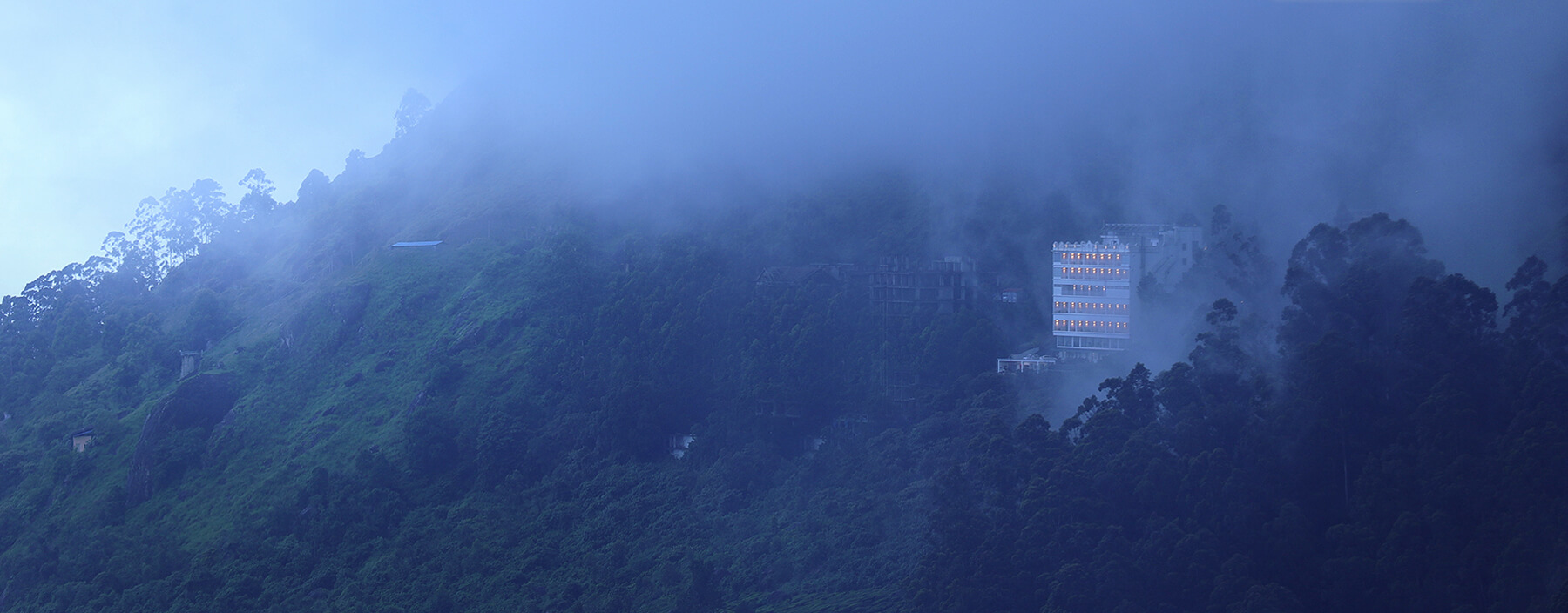
Yet for all the new attention, Kanthalloor still feels like a secret. It is remote — reachable only by winding mountain road — sparsely built, and cold enough on winter mornings that frost clings to the crops, a sight almost unimaginable elsewhere in tropical Kerala. That combination of genuine remoteness, temperate farming and postcard scenery is exactly what pulls a growing trickle of slow travellers up the ghats.
Local tradition ties this stretch of the high ranges to India’s two great epics. It is popularly said that both the Pandavas and Lord Rama and Sita passed through these hills during their long forest exile, and the ancient rock shelters and dolmens scattered around Kanthalloor and Marayoor are pointed to as evidence — some are even claimed to carry wall art echoing scenes from the Ramayana and Mahabharata. A small Sri Rama cave temple in the area keeps the association alive. These are cherished folk beliefs rather than documented history: archaeologists date the megalithic dolmens to a prehistoric burial culture, and the epic connections are best enjoyed as legend woven around genuinely ancient stones.
The deepest layer of Kanthalloor’s past is prehistoric. The high plateau around the village and adjoining Marayoor is dotted with muniyaras — megalithic dolmens, four granite slabs roofed by a capstone — that served as burial chambers for a settled culture reckoned to date back roughly two to three thousand years, and by some accounts to the Neolithic. Nearby dwelling caves and faded rock paintings deepen the sense that these cool, defensible uplands were inhabited far earlier than the Kerala lowlands.
For most of recorded history the area sat on the cultural and physical frontier between the Kerala coast and the Tamil country to the east, its people living by hill agriculture and by tending the prized sandalwood of the Marayoor belt. Tribal communities of the high ranges were the traditional custodians of this landscape long before modern administration reached it, and their presence still shapes the region’s forest reserves and folk memory.
The apples that made Kanthalloor famous are, by contrast, a relatively modern experiment. Farmers realised that the cold, dry rain-shadow climate — so unlike the rest of Kerala — suited temperate fruit, and over the twentieth century built up the orchards of apple, plum, peach and orange that now define the village, alongside the market-garden vegetables that the cool nights favour.
In the 2011 Census the village recorded about 6,758 residents across some 1,778 families, with a literacy rate below the Kerala average — figures that underline how rural and comparatively isolated Kanthalloor remained even in the modern era, sustained chiefly by farming rather than tourism or industry.
Recognition arrived only recently. As the roads improved and word of the “apple village” spread, Kanthalloor was developed as a rural-tourism destination, and in 2023 its grama panchayat won the Union government’s Gold award as India’s best tourism village — a milestone that has begun reshaping the local economy around visitors while the orchards and the old barter shop carry on much as before.
Walk through the only commercial apple orchards in South India — and pluck strawberries, oranges, plums and peaches straight off the plant during harvest.
Feel a Kerala you did not know existed: frosty mornings, crisp mountain air and temperate vegetable terraces earning the “Kashmir of Kerala” tag.
Soak up sweeping valley panoramas from the Kanthalloor View Point and the Kulachivayal rocks, with the Pattisseri dam glinting below.
Cool off at the Erachilpara (Kanthalloor) Waterfalls and, a short drive on, the forest-wrapped Thoovanam Falls inside Chinnar.
Step back into prehistory among the megalithic muniyara dolmens and rock art shared with neighbouring Marayoor’s sandalwood forests.
Base yourself in a genuinely off-beat, award-winning tourism village — quieter and more rooted than crowded Munnar, yet an easy add-on to it.
Road km to Idukki; ghat roads and traffic vary — allow extra.
October to March for cool clear weather; monsoon is scenic but can bring slippery roads and closures.
Live forecast loads in your browser.
Sun and moon are calculated for this location and shown in IST. Photography windows are the hour around sunrise and sunset; the sunset bearing is degrees clockwise from true north. Moon phase is accurate to about half a day.
These are official or public-sector eco offerings that match this place, town or forest destination. Confirm availability, permits, tariffs and reporting times with the official operator before travel.

Hard high-altitude trek from the Munnar side via Rhodo Valley, run through KFDC eco-tourism with guide, food and stay options.
Official source →
KFDC tent stay near Meesapulimala base camp, with campfire, food and optional trek towards Meesapulimala or Rhodo Valley.
Official source →
Lonely cliff-side KFDC cottage facing a waterfall and Anamudi views, paired with Meesapulimala trekking.
Official source →
KFDC Rhodo Valley night stay with elephant-trench protection, campfire, food and next-day Meesapulimala climb.
Official source →
High-altitude grassland national park and Nilgiri tahr habitat near Munnar.
Official source →
Dry-forest wildlife sanctuary east of Munnar, listed in Kerala Tourism’s ecotourism inventory.
Official source →
Shola forest national park near the Munnar/Vattavada side, listed as an ecotourism destination and programme.
Official source →
Shola-grassland forest landscape in Idukki, included in Kerala Tourism’s official ecotourism destination list.
Official source →
Sandalwood and dry-forest landscape on the Munnar-Chinnar side, listed by Kerala Tourism as an ecotourism destination.
Official source →Browse listed stays, food, activities, sights, shops and rentals around Kanthalloor. Check each listing’s locality and contact the business directly for current arrangements.
Official park ticket booking in Munnar. Eravikulam National Park, Munnar, Kerala 685612 · official booking, national park, Rajamala.
Official Munnar Wildlife Division booking portal for forest stays, trekking and protected-area visitor services.
Official Kanan Devan Hills Plantations tea museum at Nullatanni Estate, a short drive from Munnar town.
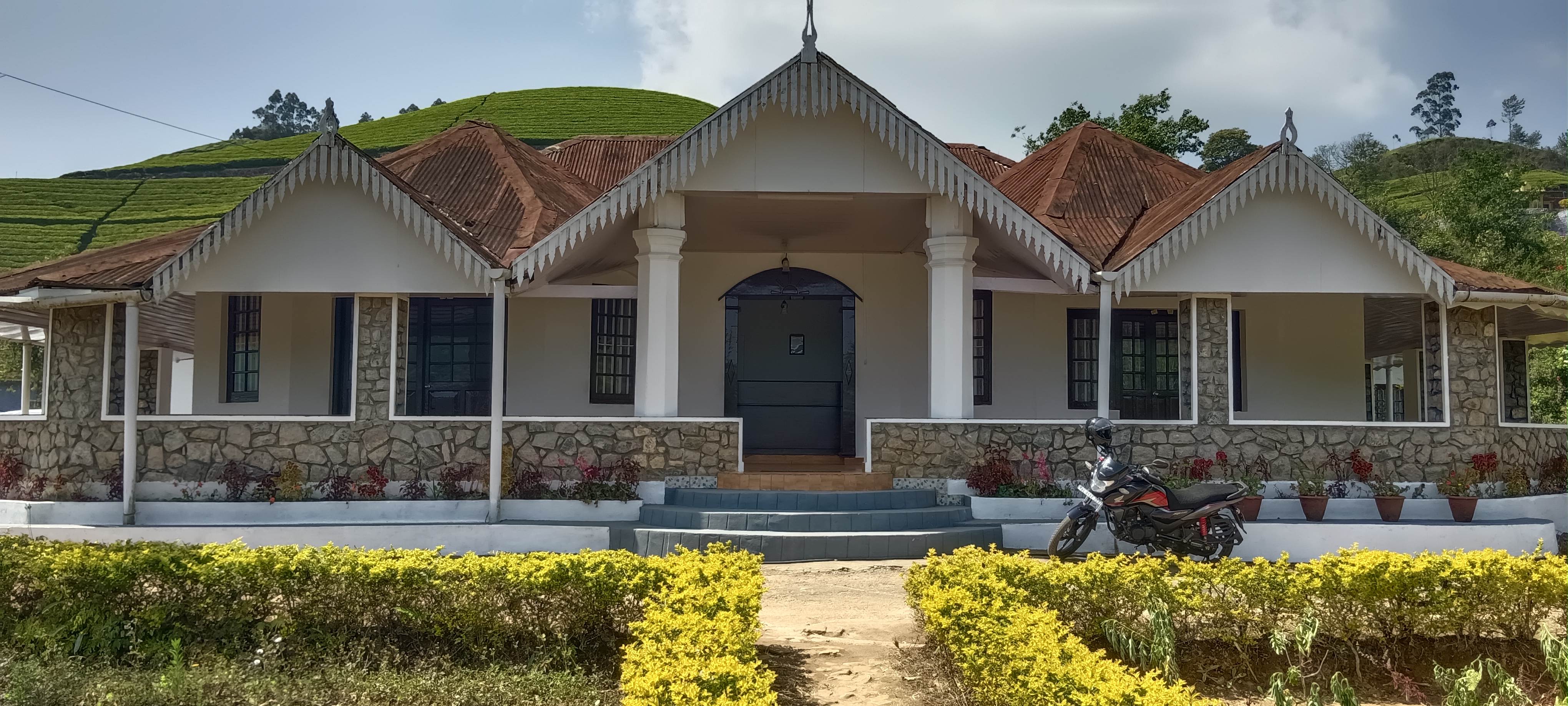
KDHP offers separate tea-estate bungalows around Munnar, including Kalaar, Lake View and Viriparai. Choose the named bungalow before comparing bedrooms and access. KDHP House is the reservations office; obtain arrival directions for the bungalow you book.
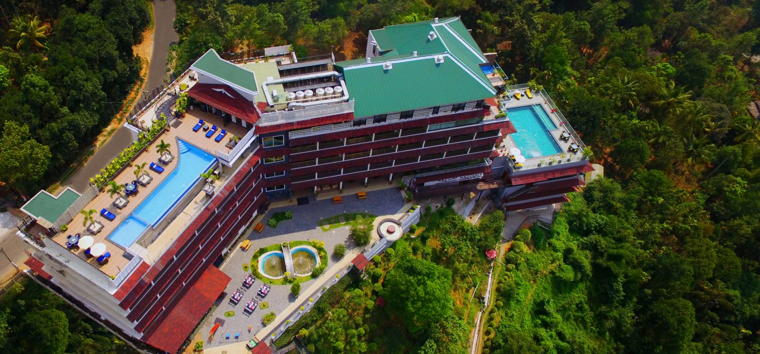
Amber Dale Luxury Hotel & Spa sits on KSEB Tunnel Road at Pallivasal, Munnar. It pairs a restaurant and Ayurveda spa with a conference hall and activities such as cycling, trekking and camp fires.
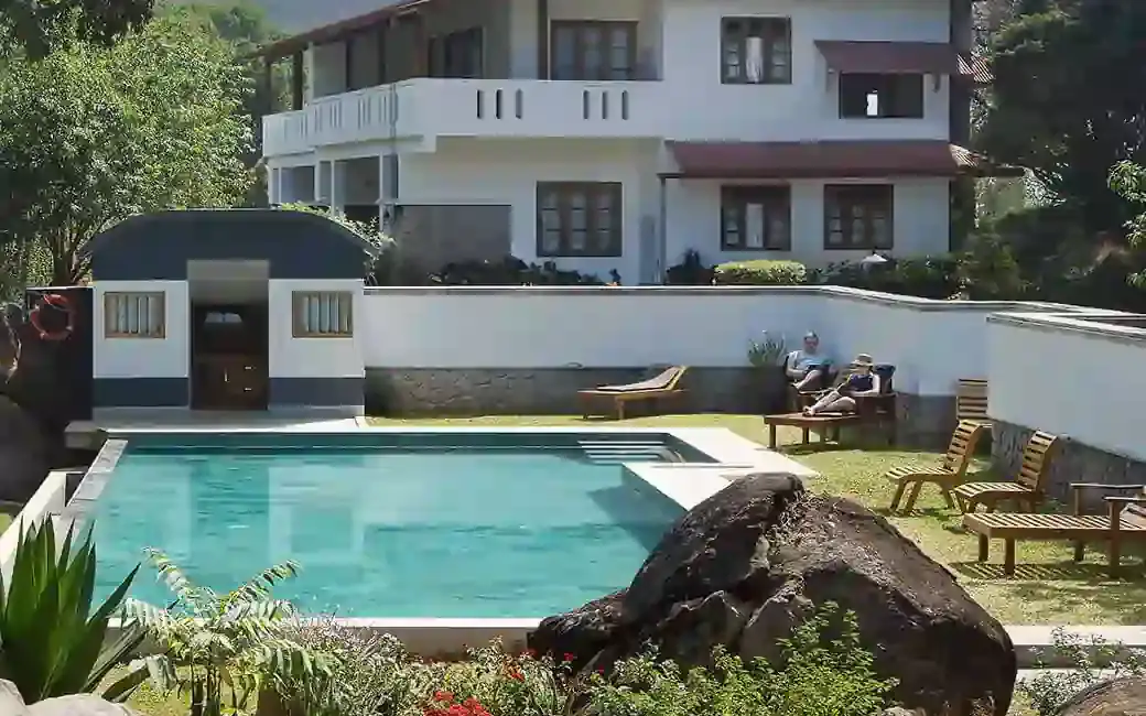
The Panoramic Getaway is at Chithirapuram, with separate family and adults’ pool areas and room choices including family suites. Compare the room layout and pool access you need, then confirm meals and the current total booking price.
Official budget forest stay in Munnar. Pampadum Shola National Park, booked through Forest Information Centre, Wildlife Warden's Office, Munnar PO, Idukki District, Kerala 685612 · Budget official forest stay · Forest stay, Pampadum Shola, Official booking.
Official Munnar Wildlife Division trekking information and booking contact. Forest Information Centre, Wildlife Warden's Office, Munnar PO, Idukki District, Kerala 685612 · trekking, official booking, forest.
SpiceTree Munnar is on Muttukad–Periakanal Road at Nadukkurissu, in the Chinnakkanal area. Its pool villas, cottages with a Jacuzzi and honeymoon suites with a plunge pool are different room choices. Specify the category and inclusions when requesting a quote.
Eco boutique hotel with 39 rooms overlooking tea plantations. Set on M.S.A Road close to the heart of Munnar.
Premium Chithirapuram-side nature resort with restaurant, activities and direct booking evidence. Rivulet Resort, Chithirapuram P O, Munnar, Kerala 685565 · Premium nature resort · Resort, Chithirapuram, Nature stay.
Two named restaurants at The Panoramic Getaway: Desi Aromas for Indian cuisine and Underground for grill specialties.
Adventure operator with Munnar trekking itineraries, cycling and walking holidays in Kerala. Trekking, adventure operator, Munnar trekking.
In-house Ayurveda and wellness center at Blanket Hotel & Spa near Attukad Waterfalls. Ayurveda, spa, wellness.
Ayurvedic spa in Munnar. The Panoramic Getaway, Chithirapuram, Munnar, Kerala 685565 · Short therapies from Rs. 1199; Ayurveda packages from Rs. 4750; taxes extra · spa, ayurveda, wellness.
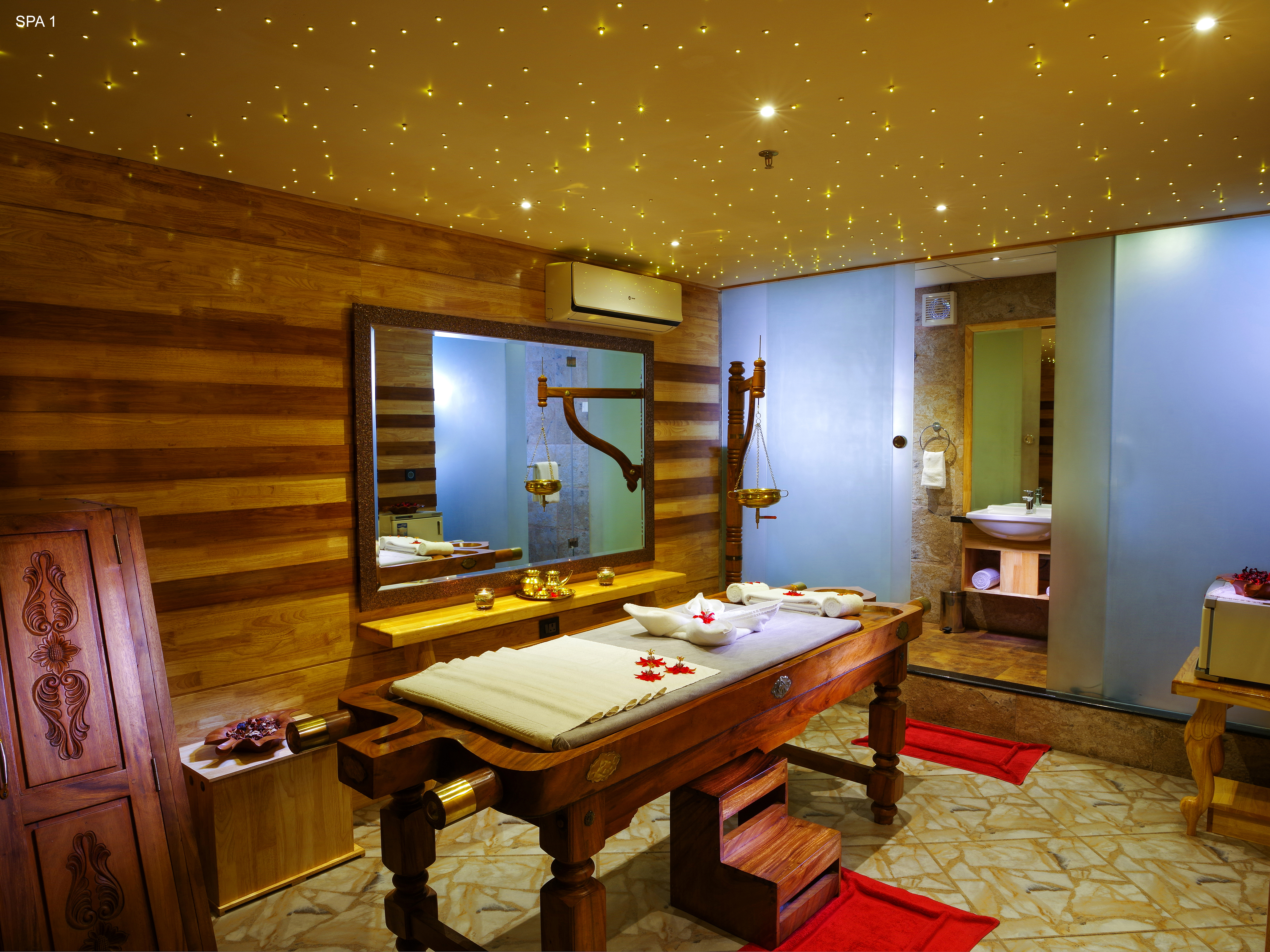
Ayurveda and spa facility at Amber Dale Luxury Hotel & Spa in Pallivasal. Ayurveda, spa, wellness.
Multi-cuisine restaurant at Grand Plaza Munnar on M. S. A Road. Restaurant, multi-cuisine, hotel dining.
Restaurant in Munnar. Restaurant, multi-cuisine, Kerala food.
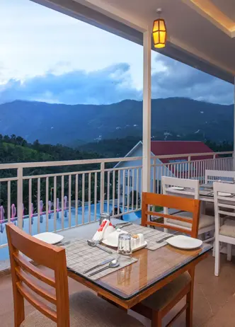
Two in-house multi-cuisine restaurants at Misty Mountain Resort, open from 7:30 AM to 10 PM. Restaurant, multi-cuisine, Pallivasal.
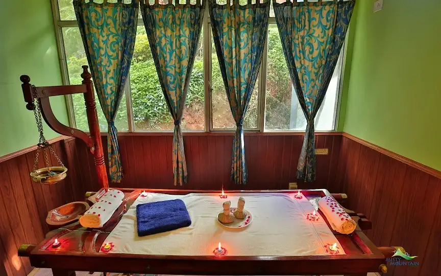
Ayurvedic spa facility at Misty Mountain Resort in Pallivasal. Ayurveda, spa, wellness.
Museum in Munnar, Idukki, Kerala, India.
Windermere Estate is a Pothamedu plantation retreat with Garden, Estate and Planters room categories. Its operator describes meals served in courses rather than a fixed buffet. Compare room position, hillside access and meal preferences before reserving.
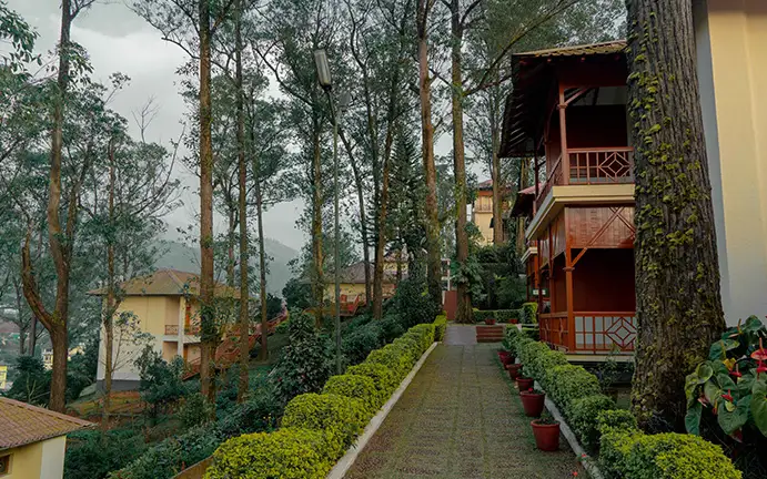
Tea County is KTDC’s Premium Hill Resort in Munnar, with garden paths between its accommodation buildings. Compare the room category and meal plan, and use KTDC’s current tariff and booking terms for your travel dates.
Book with the place itself. India’s cyber-crime coordination centre warned in April 2025 that convincing copies of hotel and pilgrimage booking sites are being pushed through sponsored search and social ads, taking payment for rooms the property never hears about. Use the contact and source details on each profile to confirm the exact business and booking channel. A directory entry or map pin alone does not establish an operator’s identity or current availability. Roampedia takes no commission and does not collect booking payments. If a booking page reached you through an ad, check the address bar against the property’s own site before you pay. Fraud can be reported on cybercrime.gov.in or on 1930.
Find food, accommodation and activities across Munnar. Browse the guides for places to eat, stay and explore along your route.
32 more places around Munnar. Open a guide to plan the visit and onward journey.

Kerala’s most famous hill station, known for tea estates, viewpoints and cool weather.

High-altitude grassland park, Nilgiri tahr habitat and access point for Anamudi views.

The highest peak in South India, viewed through Eravikulam/Rajamala access contexts near Munnar.
Rajamala is the designated tourism and awareness zone of Eravikulam National Park near Munnar. It is not a separate unrestricted summit trek or the whole national park.


Reservoir, boating and lake-view stop on the Munnar-Mattupetty sightseeing circuit, usually paired with Echo Point and Kundala.
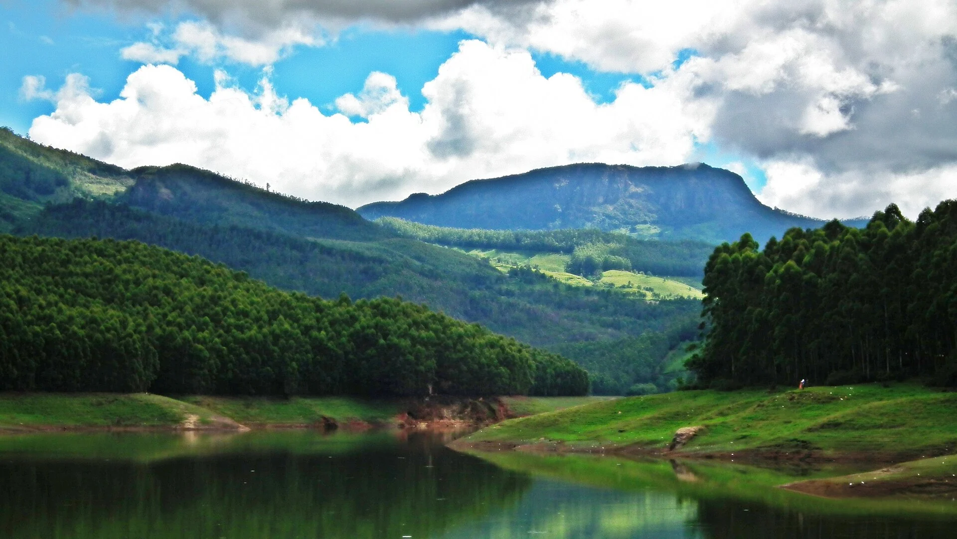
Popular Munnar lakeside viewpoint on the Mattupetty-Kundala route, useful for short stops, photos and family sightseeing.
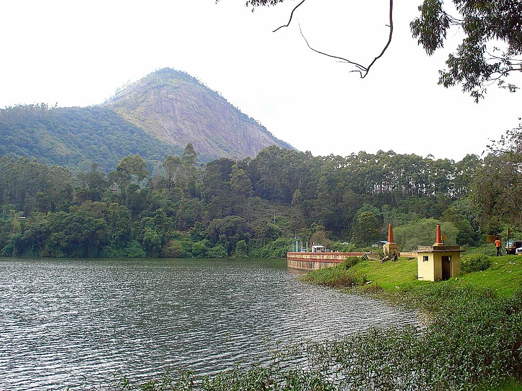
8.1 km · straight line
High-range lake and dam stop beyond Mattupetty on the Top Station route.
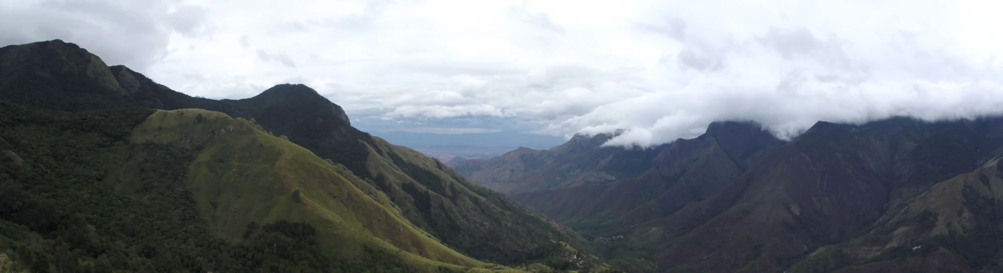
12.1 km · straight line
A border-highland viewpoint in Theni, Tamil Nadu, normally approached through Munnar, Mattupetty and Kundala; named for the former tea-transport terminus, with a separate stepped viewpoint walk.
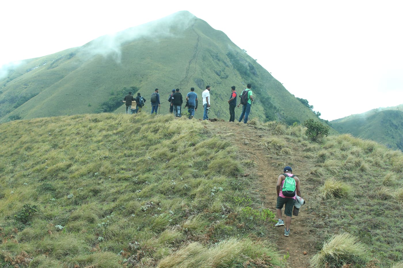
6.3 km · straight line
Popular high-altitude Western Ghats trek, usually booked through official eco-tourism channels.
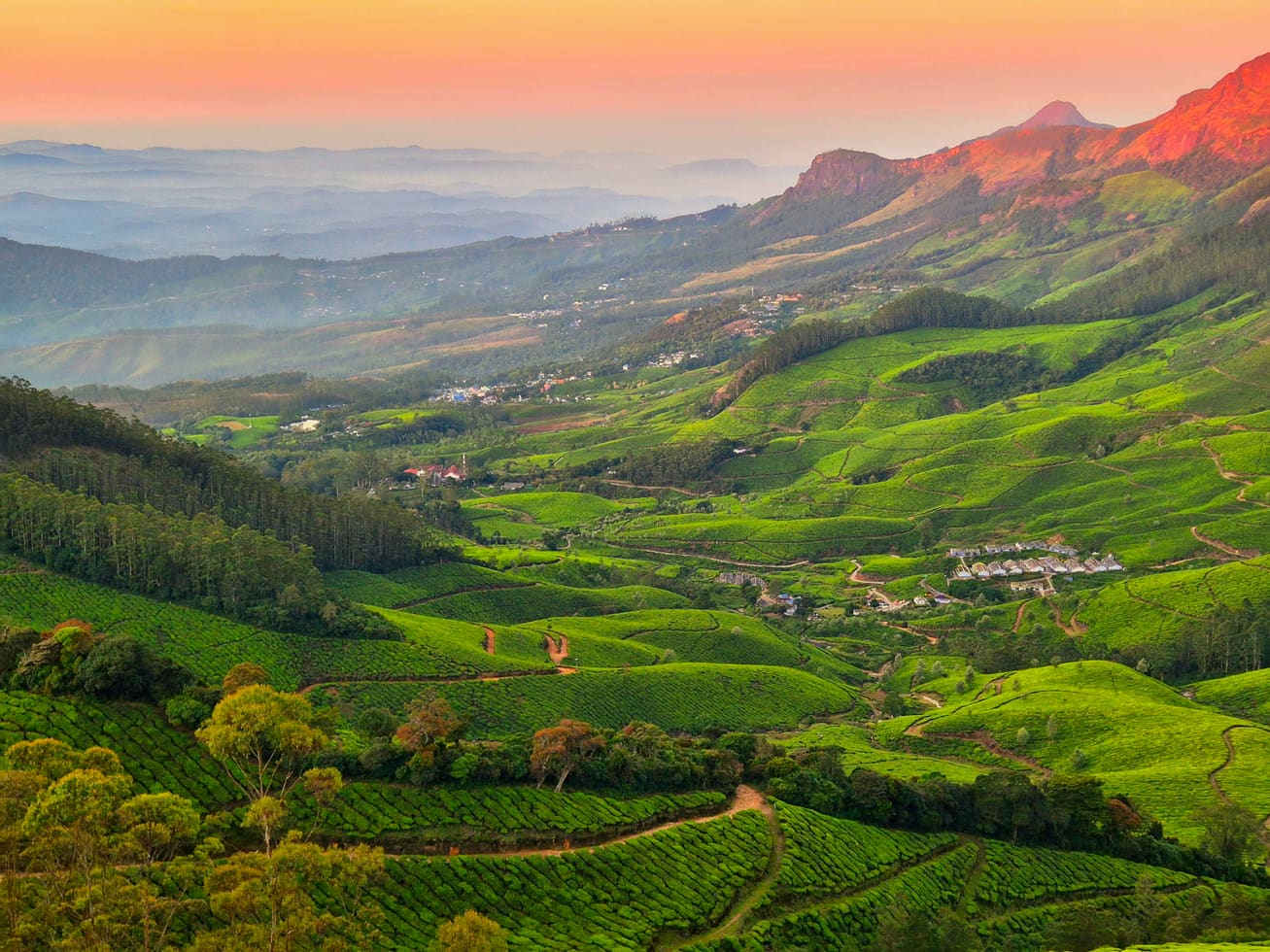
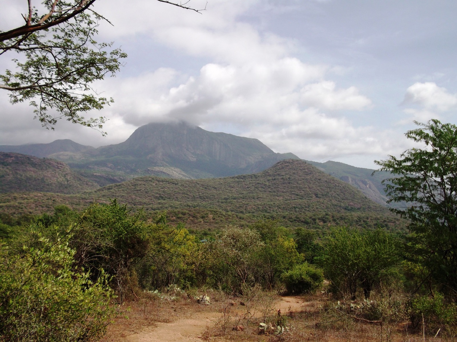
12.1 km · straight line
Dry-forest wildlife sanctuary on the Marayoor-Udumalpet side of Idukki.
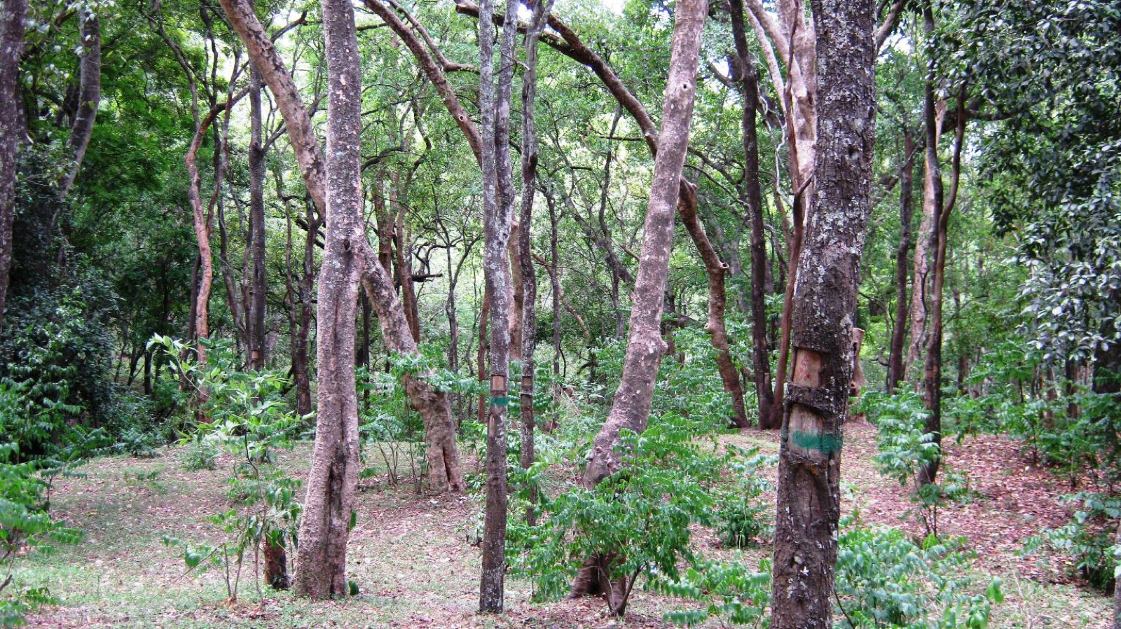
7.6 km · straight line
High-range village known for natural sandalwood forests, dolmens and sugarcane jaggery.
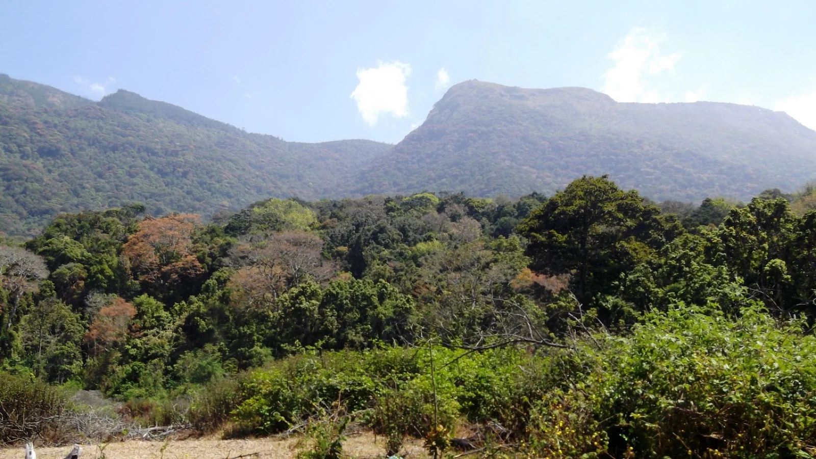
11.9 km · straight line
Pampadum Shola National Park protects high-elevation forest beside the Top Station–Vattavada road. The Top Station forest check post is the reporting anchor here; forest stays and guided walks require their own confirmed arrangements.
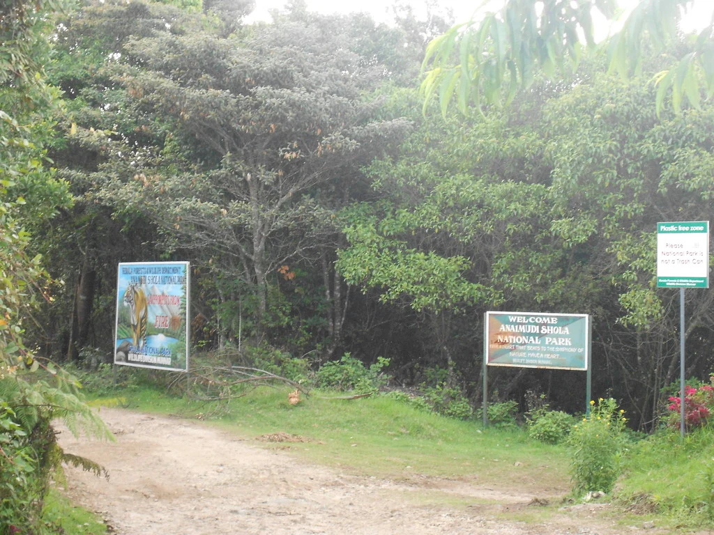
4.0 km · straight line
Anamudi Shola National Park protects Mannavan, Pullaradi and Idivara shola forests in the Kanthalloor–Vattavada high ranges. Methappu is the visitor anchor on this page; this is not Anamudi Peak or the Rajamala visitor area.

5.3 km · straight line
Waterfall stop on the Munnar-Marayoor route, usually paired with Eravikulam and Marayoor days.

Waterfall area near Munnar commonly used for short scenic drives and monsoon views.
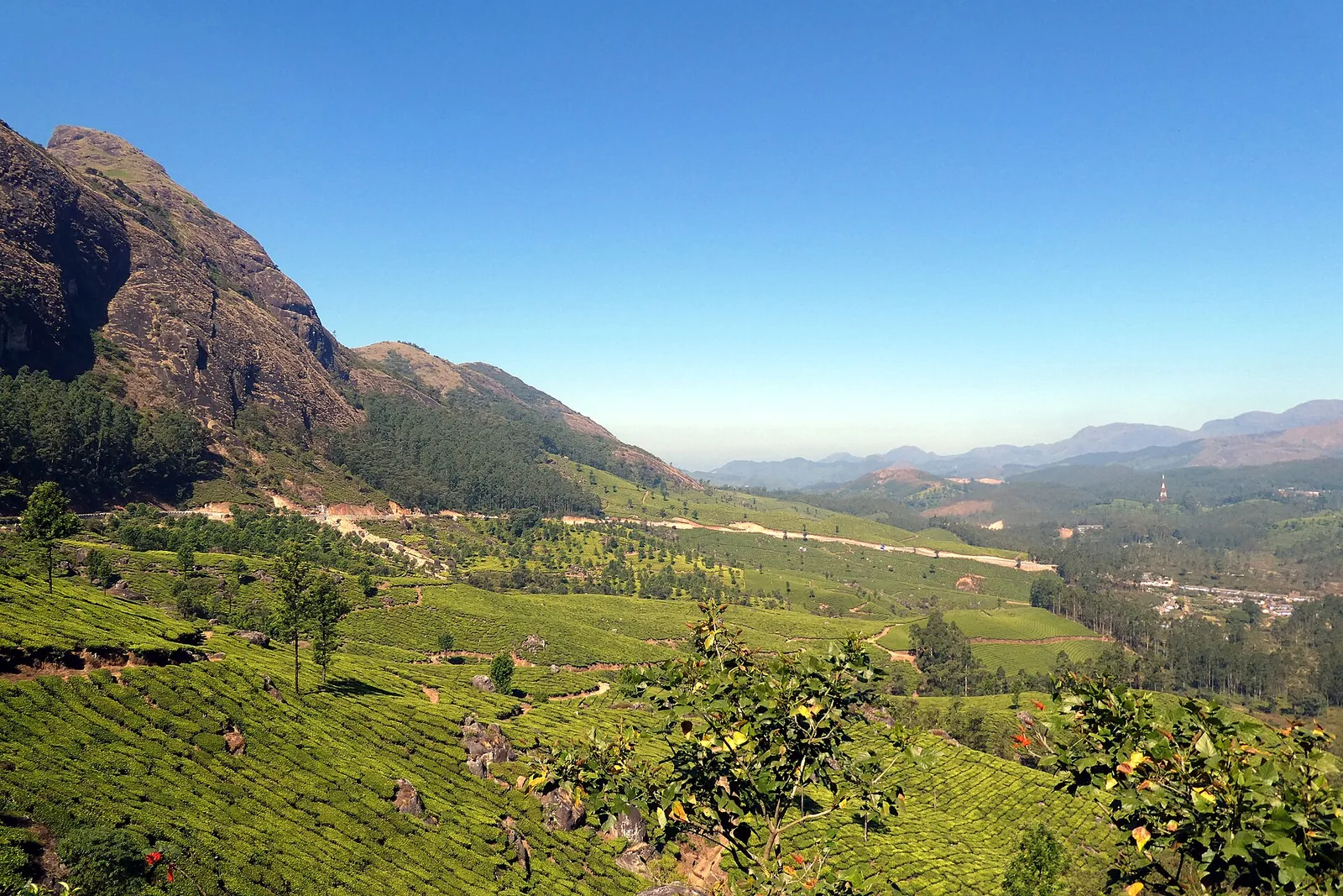
The pass itself on the Munnar–Bodimettu highway, where the ridge drops away east — and the lay-by the Chokramudi Peak trek reports from, 51 m from the forest counter. A second, busier viewpoint signed "Lockhart Gap Road View Point" sits 1.7 km east.

Anayirankal is a KSEB earth-and-rockfill dam and reservoir in the Panniyar hydel system near Chinnakanal and Santhanpara. The map identifies the published hydel visitor-centre marker; boating is not currently assured.

The Muthirapuzha spread sideways over bare rock at 796 m, below the tailrace of Pallivasal — the first hydroelectric station Kerala built. Free, unmanaged and very quiet, down about a kilometre of steep narrow lane. ⚠ Not the Chinnakanal falls that Kerala Tourism describes under this name, 21 km east.

The Kerala State Electricity Board’s riverside flower park on the Munnar–Aluva road, 3.3 km below Munnar town and 1.2 km from the KSRTC stand at Old Munnar. It runs along the east bank of the Muthirapuzha immediately above the 1944 R. A. Headworks weir that feeds Pallivasal, Kerala’s first hydroelectric station — which is what the "hydel" in the name means. Open daily 09:15 to 20:15 with tickets sold online by Kerala Hydel Tourism Centre.

Hill-station and lake landscape near Munnar associated with Devikulam and Sita Devi, best planned as a quieter high-range side trip.

Nyayamakad, also called Nayamakad, is the waterfall and tea-estate landscape on the Munnar–Rajamala approach. The map uses the identifiable Nyamakad roadside stream-view base, not a waterfall lip, pool entrance or estate walking permit.
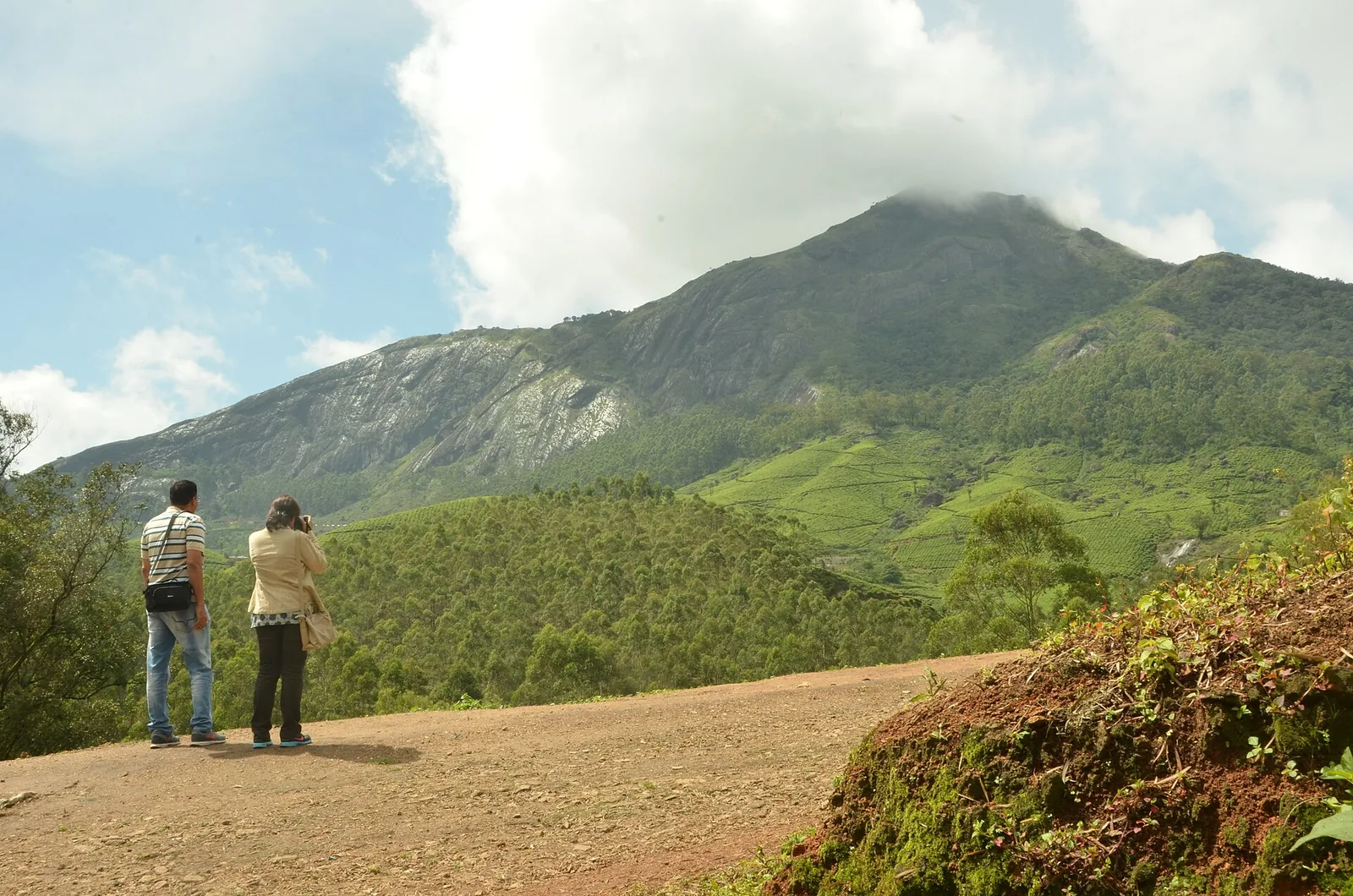
Forest Department peak trek from the counter at Gap Road, 13.2 km from Munnar: a mapped 2.09 km path climbing about 460 m of grassland and shola to a summit whose altitude four sources disagree about.
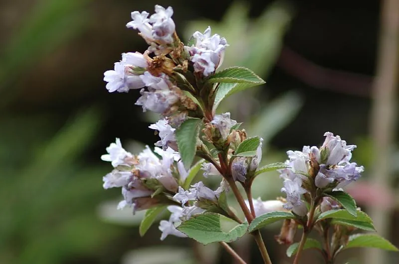
7.0 km · straight line
The 32 km² sanctuary above Kottakamboor and Vattavada, notified in 2006 for one plant — Strobilanthes kunthiana — with two walks and two stays in the Forest Department's own brochure and nothing bookable online.
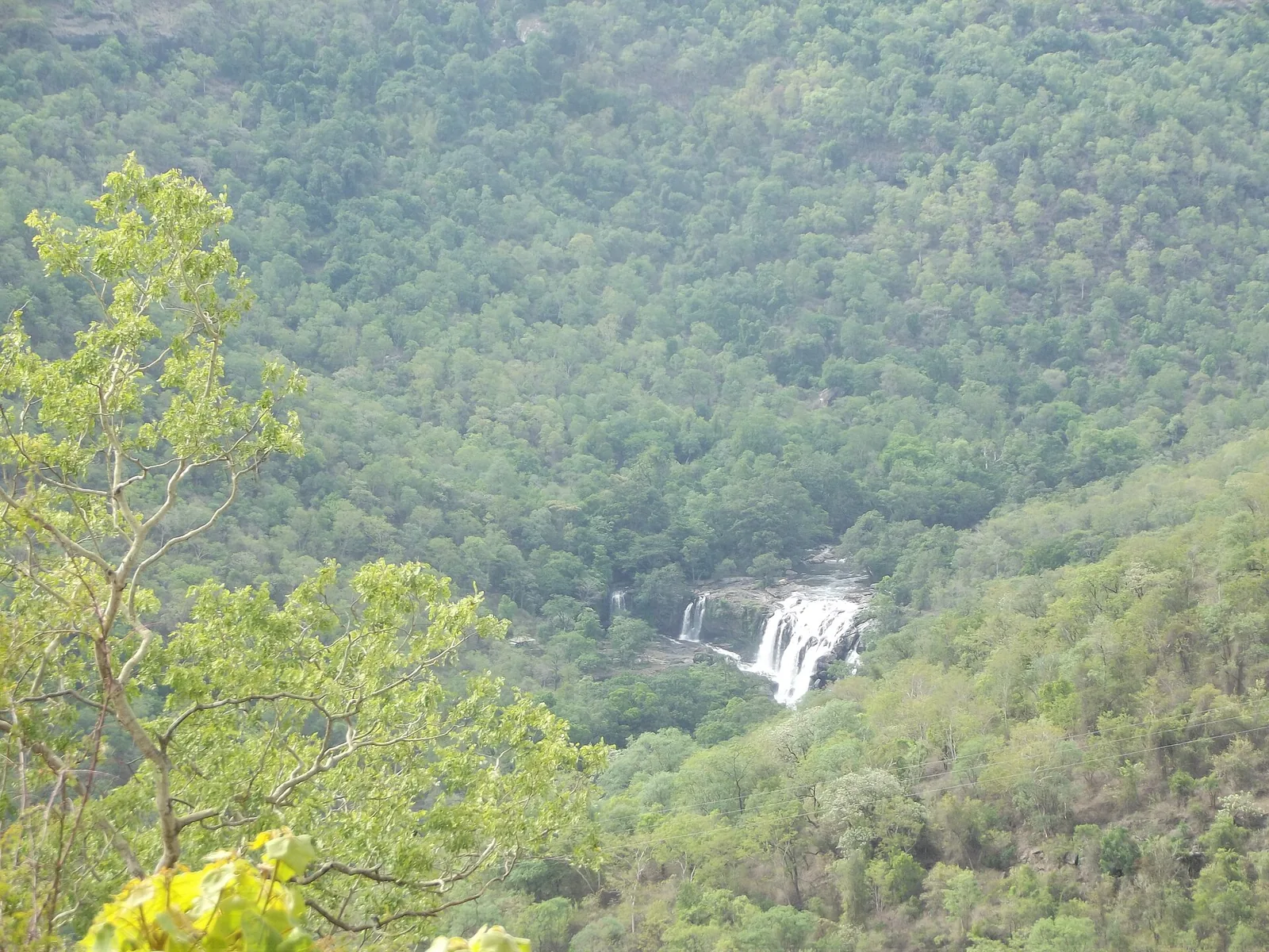
10.5 km · straight line
Forest Department guided walk in Chinnar Wildlife Sanctuary, from the Alampetty counter on SH17 down the river to the Thoovanam waterfall. Kerala Tourism contradicts itself on which river it follows: its own destination article says the Pambar, and the page selling this programme says the Chinnar.
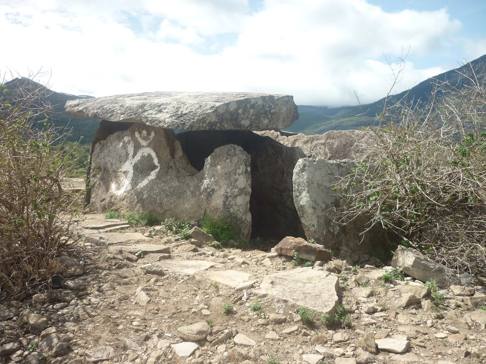
10.6 km · straight line
Forest Department culture trek in Chinnar Wildlife Sanctuary to prehistoric dolmen (muniyara) sites, run with local tribal Eco-Development Committees. Report at the Alampetty guide stand on the Marayoor–Udumalpet road (SH17), 6.4 km beyond Marayoor.
Forest Department trekking-and-camping programme at Vasyappara in Chinnar Wildlife Sanctuary — an overnight stay in a mud hut on a hill crest, published by the department as the Chinnar Valley Safari Trail. Report at 3 pm at the Chinnar check post on the Marayoor–Udumalpet road, not at the Alampetty counter 10.2 km back.
7.7 km · straight line
Cool high-altitude farming village beyond Munnar near the Tamil Nadu border, known for terraced vegetable and fruit cultivation, Kurinji slopes and quiet valley views.

A road-accessible viewpoint in Pothamedu south of Munnar, looking across planted hills and wooded valleys. The viewpoint marker is separate from the wider village and from private plantation walking routes.

Mathikettan Shola protects a remnant of native Cardamom Hills forest in Idukki. Visits are arranged through the Forest Department, with distinct Pethotty and Choondal approaches; a reservoir viewpoint is not a park-entry permit.

A wind-turbine ridge in Chathurangappara, Udumbanchola taluk, with views towards Theni’s cultivated plains; reached from the Munnar–Kumily road, with an exposed final hill approach.
Roampedia is commission-free — own or know a stay, eatery, guide or shop near Kanthalloor? Submit public business details for review.
Add a nearby businessEntry: No entry fee to enter the village or its public view points and the Kanthalloor Waterfalls; individual fruit farms, guided orchard visits, jeep safaris and the Chinnar Wildlife Sanctuary charge their own separate fees.
Photography: A dream for landscape and farm photography — terraced orchards, frosty dawns, valley panoramas from the view points and the Erachilpara falls. Early morning gives the clearest light and mist; carry a wide lens for the valleys and a longer one for wildlife around Chinnar, and always ask before photographing farmers or their homes.
If you are travelling by bus or ferry, check the return service with the operator before setting out. Leave time to reach the stop or jetty after your visit.
Ask at the bus stand for the time of the last service back, not the next one. If you miss it, an auto or app cab is the fallback — agree the fare before you get in.
If you need step-free access, contact the site before travelling. Ask about a level entrance, steps along the route, the nearest drop-off point, seating and accessible toilets.
These services are listed within about 1.2 km of Kanthalloor. Walking distances follow mapped routes; access and opening hours can change. Other services may be closer but are not included here.
Published emergency and visitor-assistance contacts. For an immediate emergency, call 112. Shared Kerala contact sources checked 4 October 2026; publication does not establish a tested live response.
Anamudi Shola National Park protects Mannavan, Pullaradi and Idivara shola forests in the Kanthalloor–Vattavada high ranges. Methappu is the visitor anchor on this page; this is not Anamudi Peak or the Rajamala visitor area.
4.0 km · straight lineWaterfall stop on the Munnar-Marayoor route, usually paired with Eravikulam and Marayoor days.
5.3 km · straight linePopular high-altitude Western Ghats trek, usually booked through official eco-tourism channels.
6.3 km · straight lineThe 32 km² sanctuary above Kottakamboor and Vattavada, notified in 2006 for one plant — Strobilanthes kunthiana — with two walks and two stays in the Forest Department's own brochure and nothing bookable online.
7.0 km · straight lineHigh-range village known for natural sandalwood forests, dolmens and sugarcane jaggery.
7.6 km · straight lineCool high-altitude farming village beyond Munnar near the Tamil Nadu border, known for terraced vegetable and fruit cultivation, Kurinji slopes and quiet valley views.
7.7 km · straight lineHigh-range lake and dam stop beyond Mattupetty on the Top Station route.
8.1 km · straight lineForest Department guided walk in Chinnar Wildlife Sanctuary, from the Alampetty counter on SH17 down the river to the Thoovanam waterfall. Kerala Tourism contradicts itself on which river it follows: its own destination article says the Pambar, and the page selling this programme says the Chinnar.
10.5 km · straight lineForest Department culture trek in Chinnar Wildlife Sanctuary to prehistoric dolmen (muniyara) sites, run with local tribal Eco-Development Committees. Report at the Alampetty guide stand on the Marayoor–Udumalpet road (SH17), 6.4 km beyond Marayoor.
10.6 km · straight linePampadum Shola National Park protects high-elevation forest beside the Top Station–Vattavada road. The Top Station forest check post is the reporting anchor here; forest stays and guided walks require their own confirmed arrangements.
11.9 km · straight lineA border-highland viewpoint in Theni, Tamil Nadu, normally approached through Munnar, Mattupetty and Kundala; named for the former tea-transport terminus, with a separate stepped viewpoint walk.
12.1 km · straight lineDry-forest wildlife sanctuary on the Marayoor-Udumalpet side of Idukki.
12.1 km · straight lineNearby toilets, pharmacies, ATMs, seating and vets are community-mapped and may be incomplete or out of date. Map data © OpenStreetMap contributors | Walking times © openrouteservice.org by HeiGIT
Because of its unusually cold, dry climate. Sitting at about 5,000 feet in the rain shadow of the Western Ghats, the village grows apples and temperate fruits and vegetables, and winter mornings can bring frost — conditions almost unheard of in the rest of tropical Kerala.
Yes. Kanthalloor is the only place in South India with commercial apple orchards, and many farms let visitors walk through and pick fruit. The apple harvest peaks roughly from mid-July to the end of August, when strawberries and other fruits are also in season.
September to March is generally considered ideal for cool, pleasant, clear weather. Fruit-lovers may prefer the mid-July to August harvest window despite it overlapping the monsoon; June to August can be wet, so plan around rain.
Kanthalloor is roughly 45 to 50 km from Munnar and only about 14 km from Marayoor, reached by winding mountain road. Many travellers combine it with Marayoor’s sandalwood forests and dolmens.
The village itself has no entry fee, and sights such as the Kanthalloor Waterfalls and view points are typically free. Individual fruit farms, jeep safaris and the Chinnar sanctuary nearby may charge their own fees.
A full day covers the orchards, waterfalls and view points, but one or two nights let you slow down, enjoy the cool climate, and add nearby Marayoor, Chinnar Wildlife Sanctuary and a Kolukkumalai sunrise trip.
Entry: No entry fee to enter the village or its public view points and the Kanthalloor Waterfalls; individual fruit farms, guided orchard visits, jeep safaris and the Chinnar Wildlife Sanctuary charge their own separate fees. Timings: Kanthalloor is an open village, so the fields, view points and roads can be enjoyed at any time; for the best light and safe hill driving, aim for daylight hours, roughly 6 am to 6 pm. Fruit farms, jeep operators and the nearby Chinnar sanctuary keep their own daytime hours.
Base yourself in Munnar or a nearby town in Idukki, then confirm the last-mile route locally before leaving. Start early; ghat roads, mist and viewpoints are better before afternoon crowds. If the visit depends on forest, temple, boat, ferry, weather or seasonal access, check the official/local rule on the day before travel.
Half day to 2 days depending on viewpoints and treks.
Nearby you can pair Anamudi Shola (4.0 km, approximate straight-line separation), Lakkam Waterfalls (5.3 km, approximate straight-line separation), Meesapulimala trek (6.3 km, approximate straight-line separation), Kurinjimala Sanctuary trek (7.0 km, approximate straight-line separation).
Avoid cliff edges and closed viewpoints. Use experienced drivers on steep ghat roads.
Written about Kanthalloor itself — its history, its legends and the arguments about them.
These guides explore Munnar and the surrounding area. Choose a visit that fits your interests, allowing separately for travel between stops.






Written about Munnar as a whole rather than about Kanthalloor — its history, its streets, and how to spend a day in it.




Route-level itineraries and practical guides for the rest of Kerala.



Photographs: Deepa Chandran2014 (CC BY-SA 3.0), Rameshng (CC BY-SA 3.0), Niyas8001 (CC BY-SA 4.0), Athulvis (CC BY-SA 4.0), Jan J George (CC BY-SA 4.0), Sarathgks92 (CC BY-SA 4.0), Jiths (CC BY 2.0), Jaseem Hamza (CC BY 3.0), Fotokannan (CC BY-SA 3.0). Wikimedia Commons.