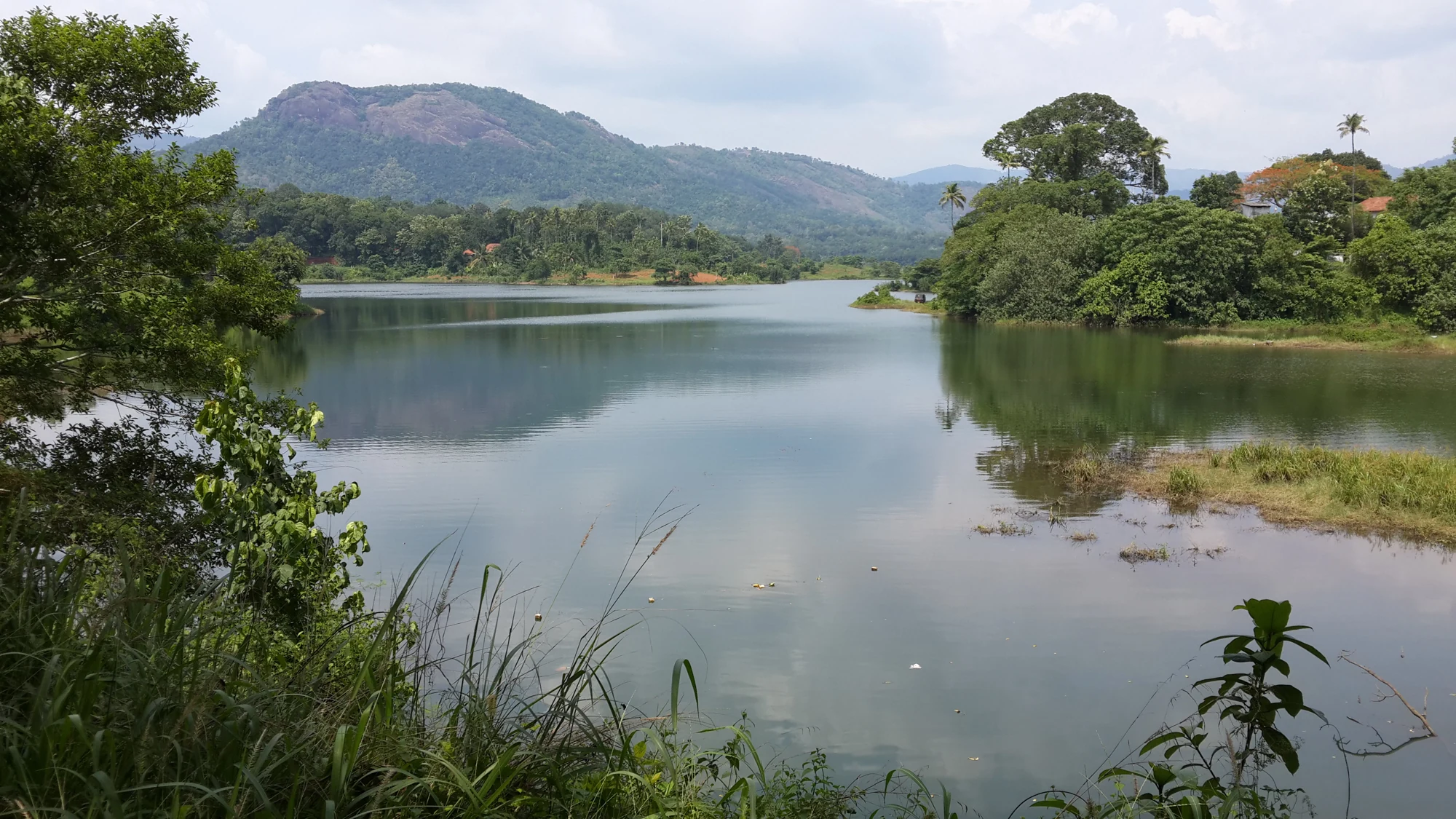
A visitor park beside a working dam creates two overlapping views of the same place. One is a day out beside water, with an admitted walking area and time to pause. The other is infrastructure controlling a river. Malankara works best when the visit respects both roles instead of assuming that the park ticket opens every structure in sight.
Start with the park entrance
The practical arrival is the Malankara tourism-park side near Muttom, outside Thodupuzha. Begin with the current entrance arrangement and ask which parts of the park and dam-side route are admitted. A reservoir photograph can help identify the landscape, but it does not show the boundary of permission around gates, maintenance stairs or service roads.
Use the park as the place from which to observe the dam and its setting. A walk within the admitted grounds, a pause by the water outlook and a look across the opposite slopes can form the whole stop. There is no need to turn it into an industrial tour or seek a path below the operating gates.
A development plan is not an inventory
The Irrigation Department’s Malankara page discusses the tourism project and improvements around it. Some items belong to development proposals or a wider plan. Visitors should distinguish those from facilities clearly described as operating. A planned garden feature, boating arrangement or expanded park area is not automatically available on the day of travel.
That distinction is especially useful for families arranging a long stop. Decide which activities the group actually needs, then establish whether those are operating before leaving Thodupuzha. If the plan is simply a waterside walk, assess that route on arrival. If the day depends on a particular ride or boat service, obtain confirmation for that service rather than relying on the destination name.
The park has its own recent history
The official account records the park’s reopening in November 2019 after flood-related damage. It is a reminder that visitor facilities around reservoirs have maintenance histories as well as opening dates. A photograph from an earlier season may show a path, shoreline or amenity in a different condition.
The same applies to the waterline. Exposed banks can make the reservoir edge look easy to approach, but the admitted path is the useful boundary. Changing storage levels and soft ground make the strip below the vegetation line unsuitable as an improvised extension of the park walk.
For someone with limited mobility, ask about the particular route from vehicle drop-off to the desired outlook. The presence of a garden does not establish a continuous level surface, and the dam’s paved crest does not establish that visitors can reach or use it. A shorter confirmed route can be more useful than a general assurance that the destination is family-friendly.
Leave the day with two clear impressions: the water landscape enjoyed from the public area, and the working structure that helps create and regulate it. Malankara does not need to provide every activity in a development brochure to justify a visit. A well-chosen park stop, matched to what is actually admitted, gives the place its proper scale.
Visitor-project context: Kerala Irrigation Department’s Malankara page.
Plan the visit: Malankara Dam.